Deildartunguhver
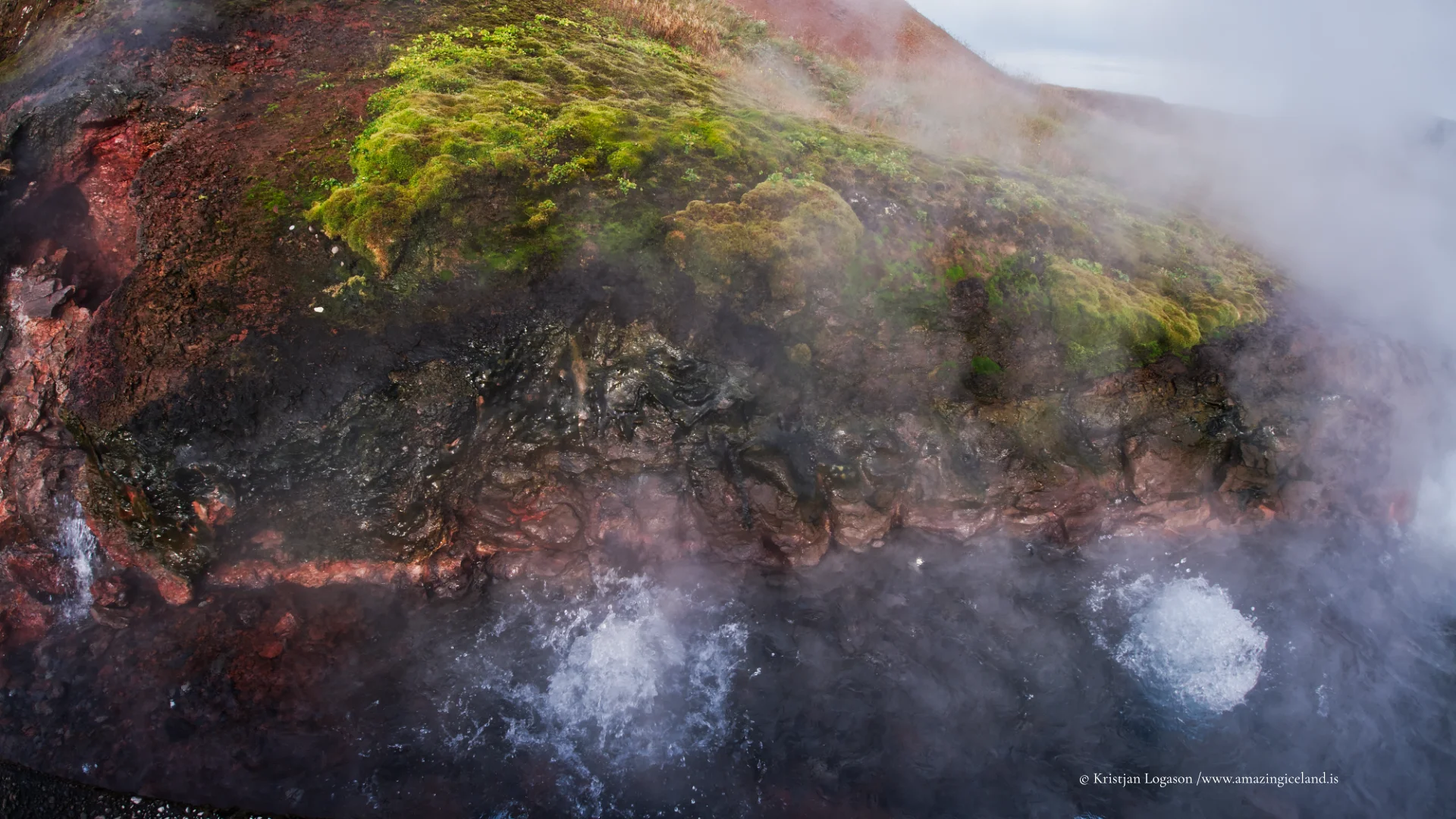
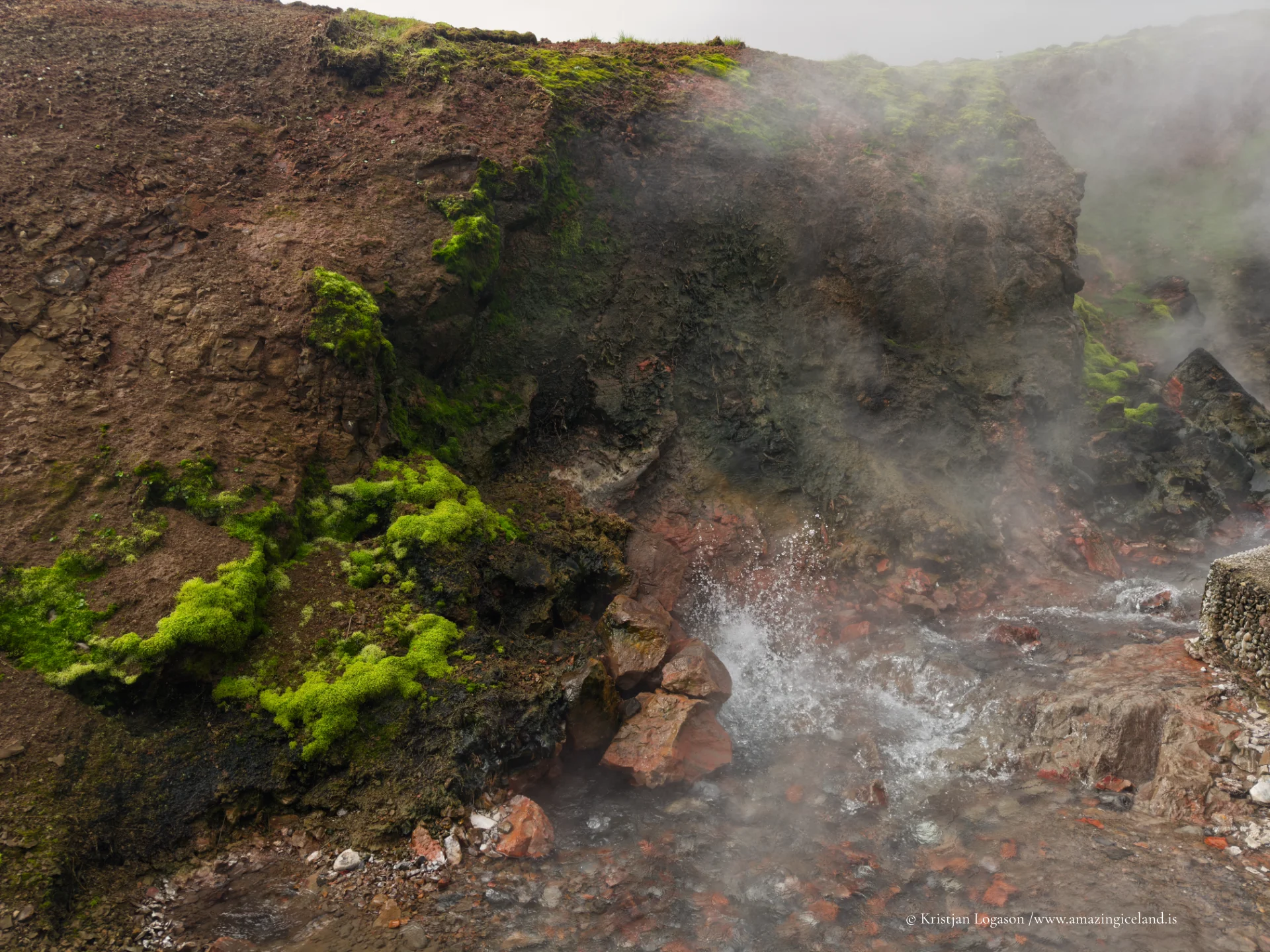
Deildartunguhver lies in Reykholtsdalur in West Iceland, where water at approximately 97°C rises continuously through a compact spring area surrounded by farmland. Its output of around 180 litres per second makes it Europe’s highest-flow hot spring, but the figures alone do not convey the physical impression of the place. Boiling water moves among red lava and green moss while steam changes with the air and wind. From here, the water enters one of Iceland’s most remarkable district-heating systems, carrying the spring’s geothermal energy through Borgarfjörður and onwards to Akranes.
The location of Deildartunguhver
Latitude
64.6636
Longitude
-21.4103
Deildartunguhver
Continuous geothermal force
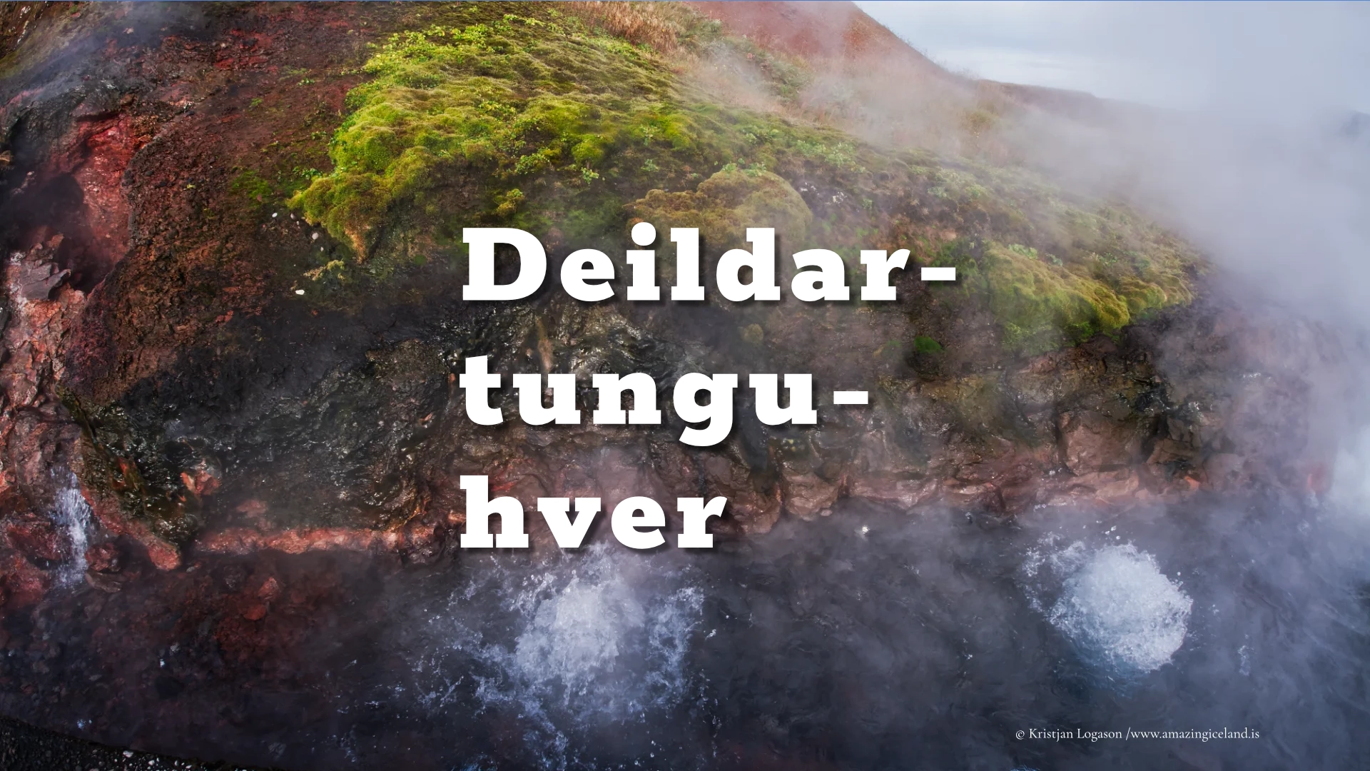
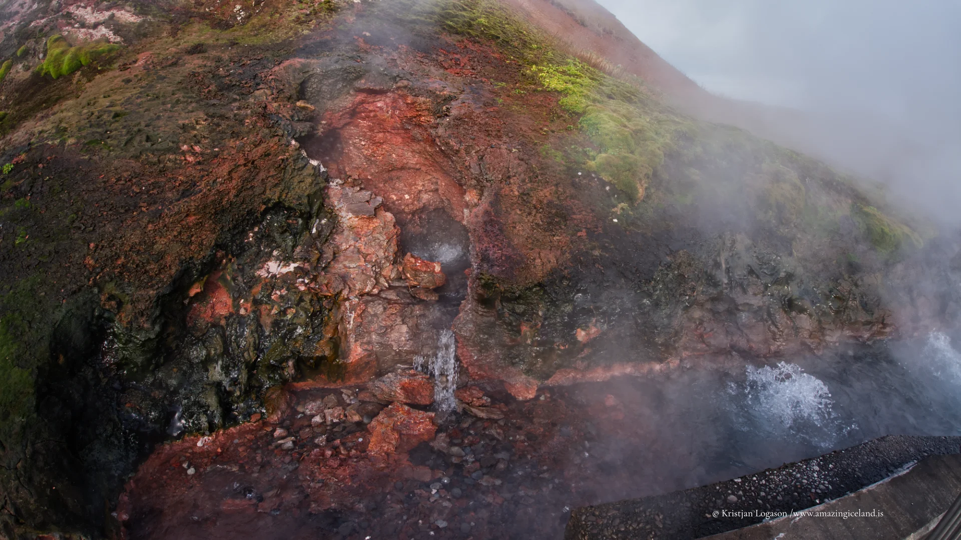
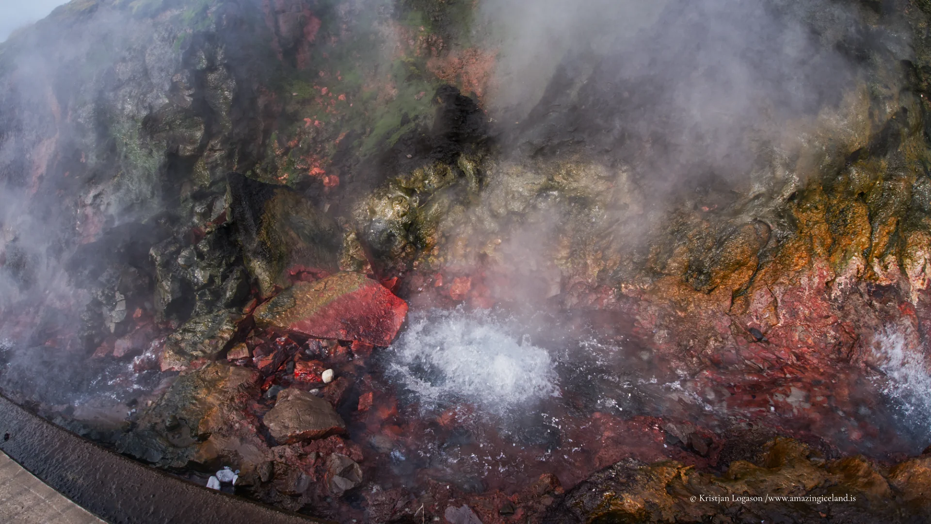
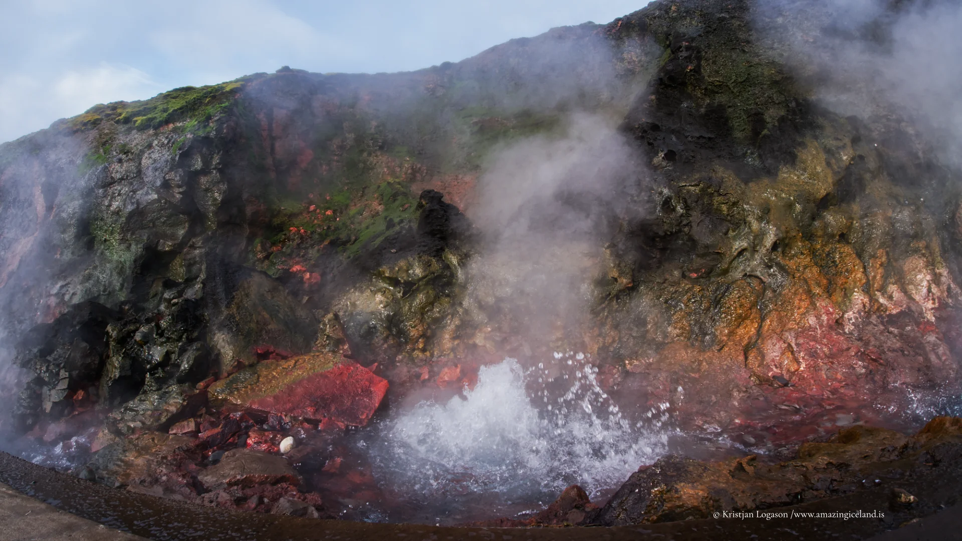
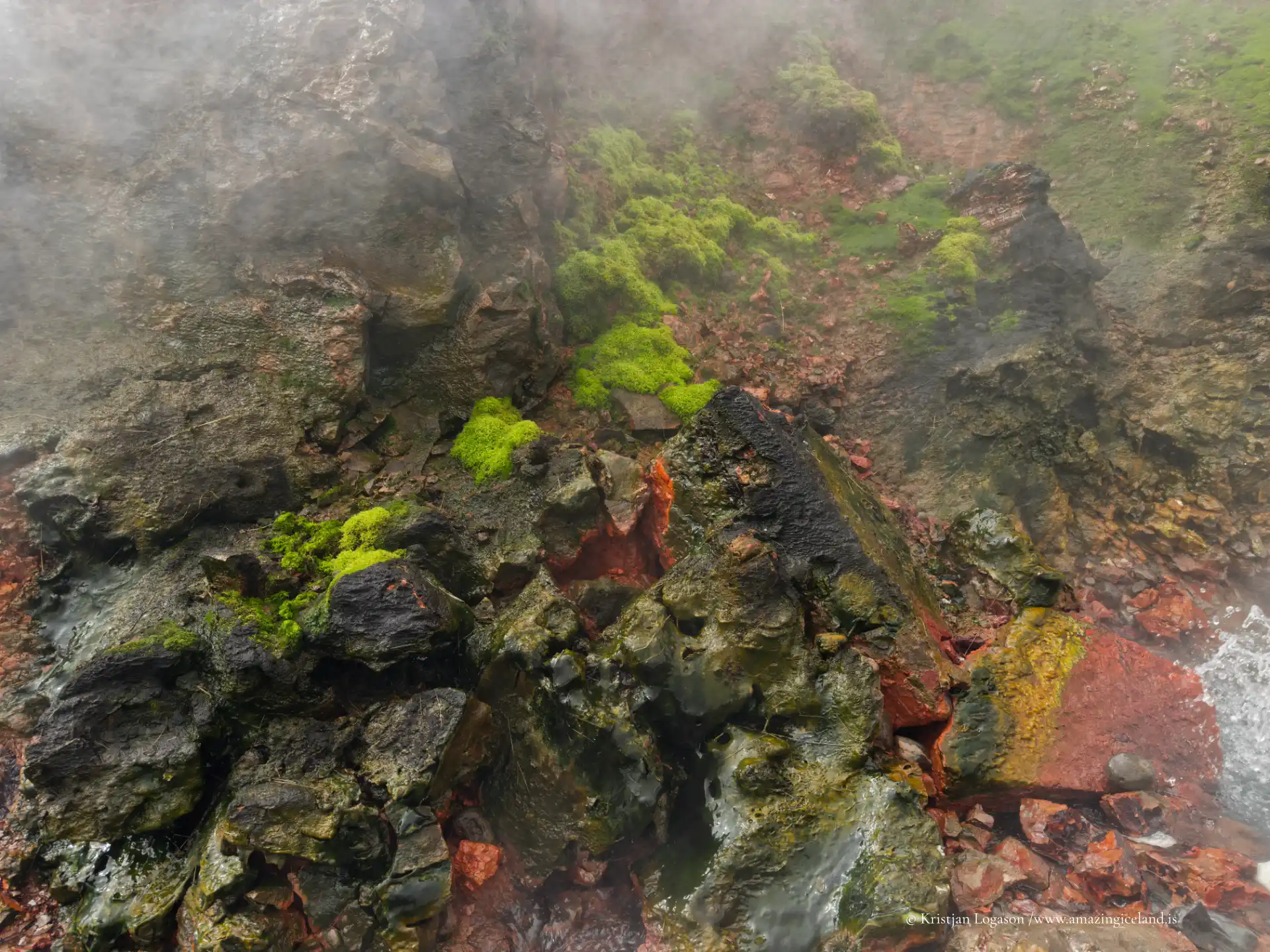
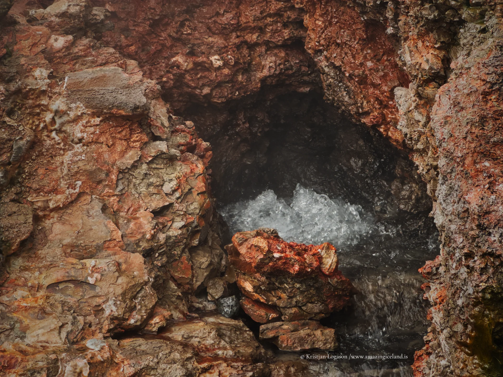
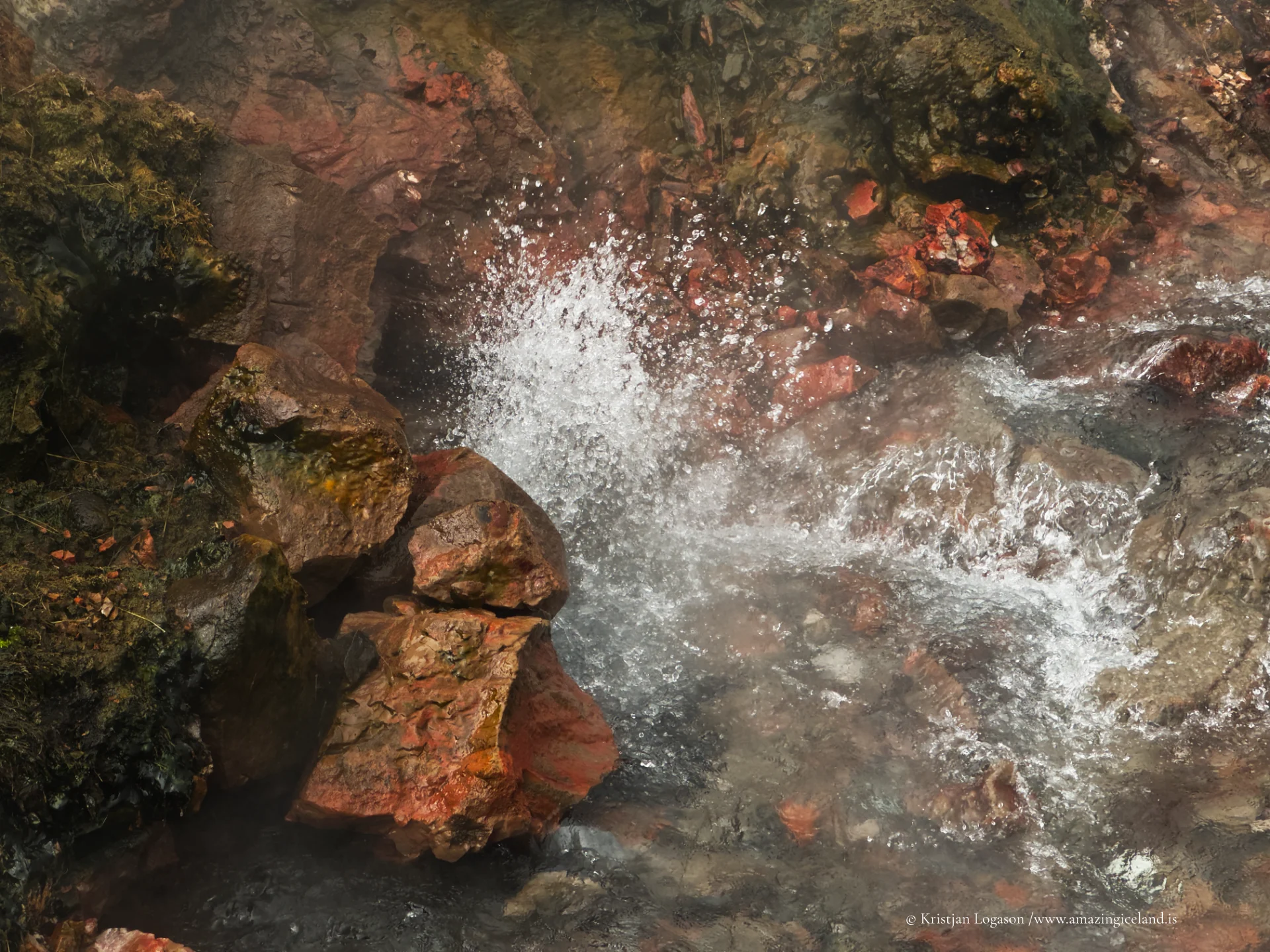
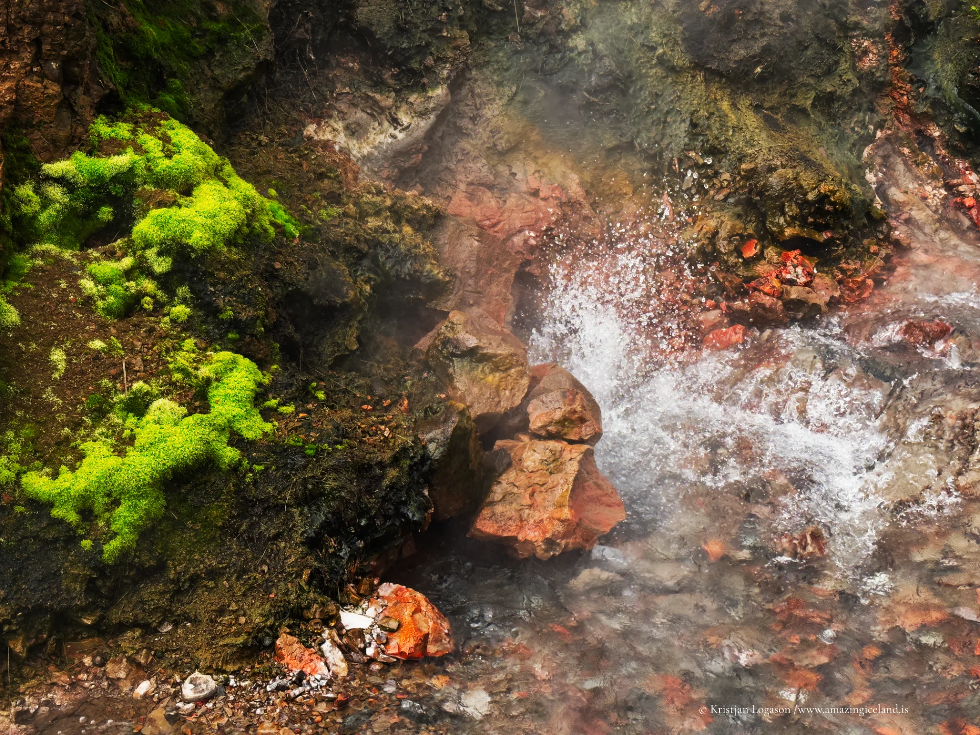
Deildartunguhver does not build towards an eruption or follow the repeating rhythm of a geyser. Water rises without interruption, spreading through several turbulent openings and runoff channels. The spring is compact, but its continuous movement, temperature and volume make it impressive at close range. Red volcanic rock, vivid moss and pale steam give the site a stronger visual character than its small scale might suggest.
The combination of temperature and flow is what distinguishes Deildartunguhver. Approximately 180 litres of water emerge every second at about 97°C, giving it the highest measured flow among Europe’s hot springs. The water is far too hot for bathing in its natural state. Barriers and signs separate visitors from the source and runoff, while the short viewing route allows the boiling water and steam to be seen from several angles.
Deildartunguhver is protected, although its conservation and its use as an energy resource are not opposites. The spring remains a natural geothermal feature while also supporting a heating system on which homes, farms and communities have depended for decades.
A heating project across Borgarfjörður
Hitaveita Akraness og Borgarfjarðar was formally established in 1979 to create a regional hot-water network. Deildartunguhver supplies most of the water used by the system, with additional boreholes available when demand requires them. The network serves Borgarnes, Hvanneyri, Akranes and rural communities along its route, turning the output of one compact spring into part of daily life across a large district.
The distances reveal the scale of the project. The pipeline runs approximately 34 kilometres to Borgarnes and about 64 kilometres to Akranes. Water travelling to Akranes takes roughly two to three days to complete the journey, assisted by pumping stations along the route. Even after crossing Borgarfjörður and continuing south, it arrives hot enough to supply the district-heating network.
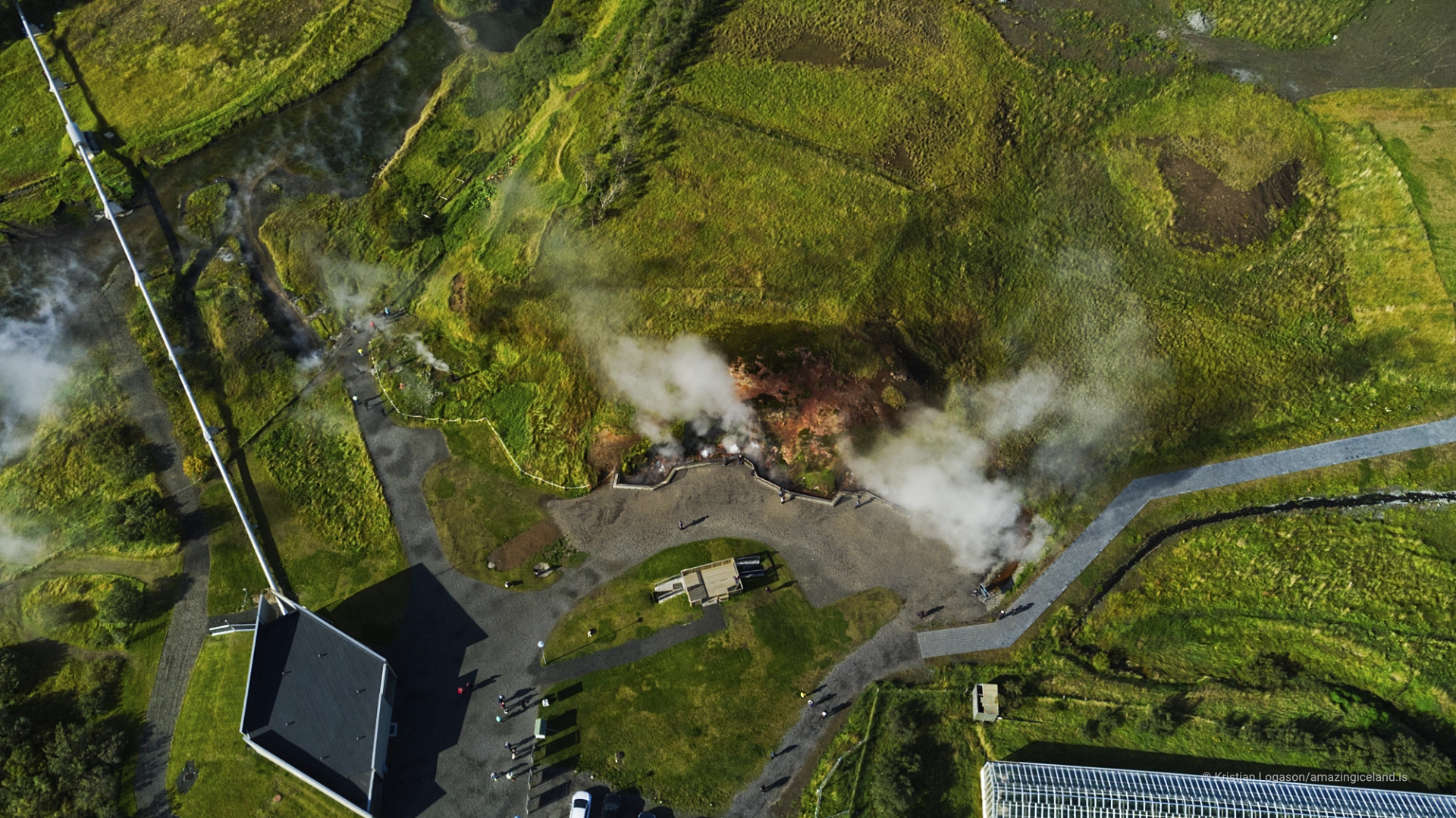
This infrastructure changes the meaning of the site. Pipes beside the spring are not incidental additions to a natural attraction; they show how geothermal water is collected and carried into a regional system. Visitors see the source, but most of its importance is experienced elsewhere, in buildings heated many kilometres from Reykholtsdalur.

Visiting the spring
The spring viewing area is free and accessible throughout the day. The walk from the parking area is short, level and suitable for wheelchairs, and there is no meaningful terrain difficulty. Around 30 minutes is enough to follow the viewing route, study the different openings and understand the relationship between the spring and the visible infrastructure.
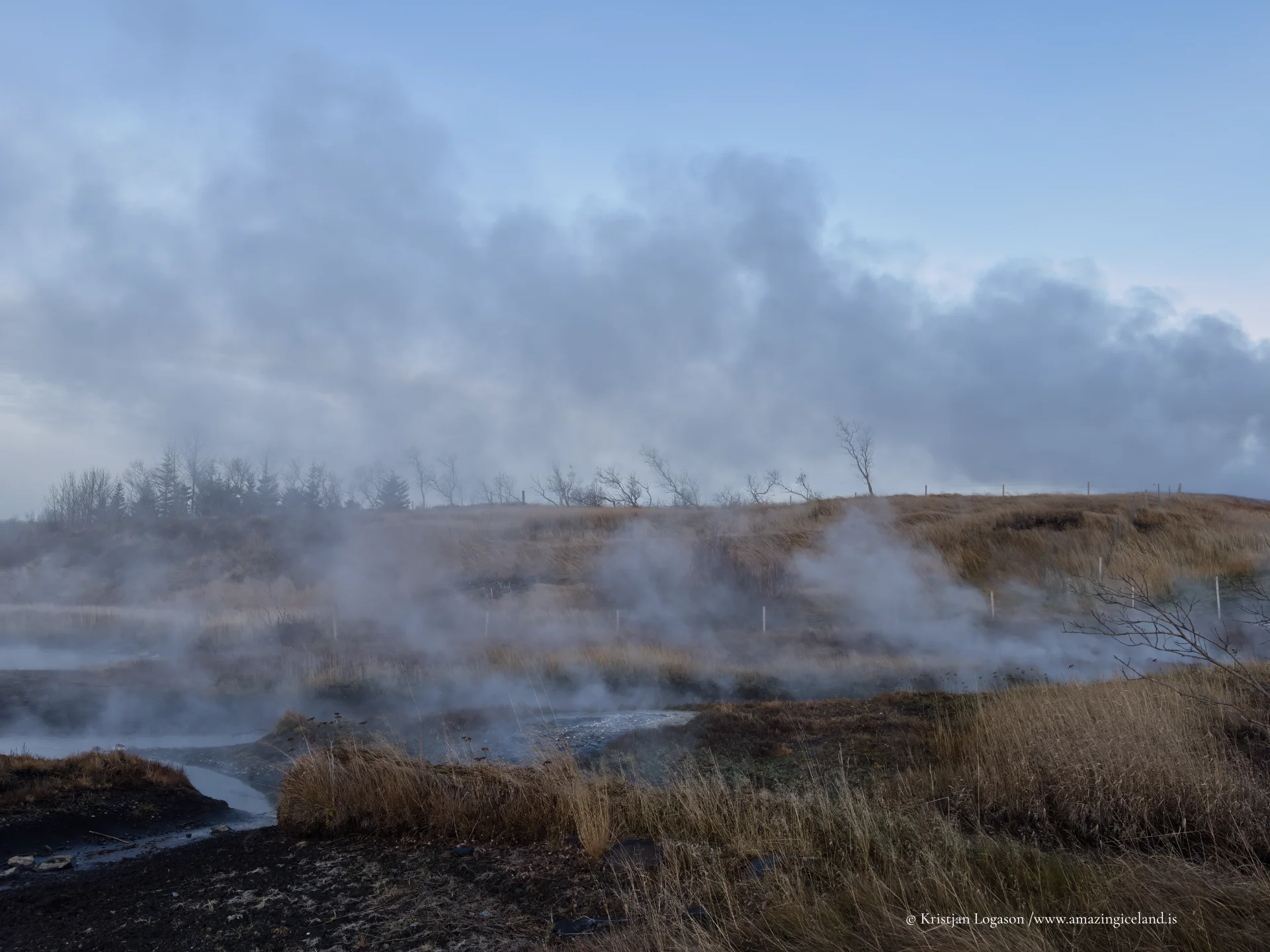
Access is realistic throughout the year under normal conditions, and the parking area is cleared during winter. Cold air can make the steam denser and increase the spectacle, but it can also obscure parts of the spring as it moves across the walkway. In warmer weather, less steam may reveal the boiling water, lava and runoff channels more clearly.
Krauma stands beside Deildartunguhver as a separate commercial bathing facility. It uses water from the spring only after the near-boiling geothermal water has been cooled. The natural spring and its free viewing area are therefore distinct from the bathing facility, which operates with its own admission and opening hours.
A spring within an agricultural valley
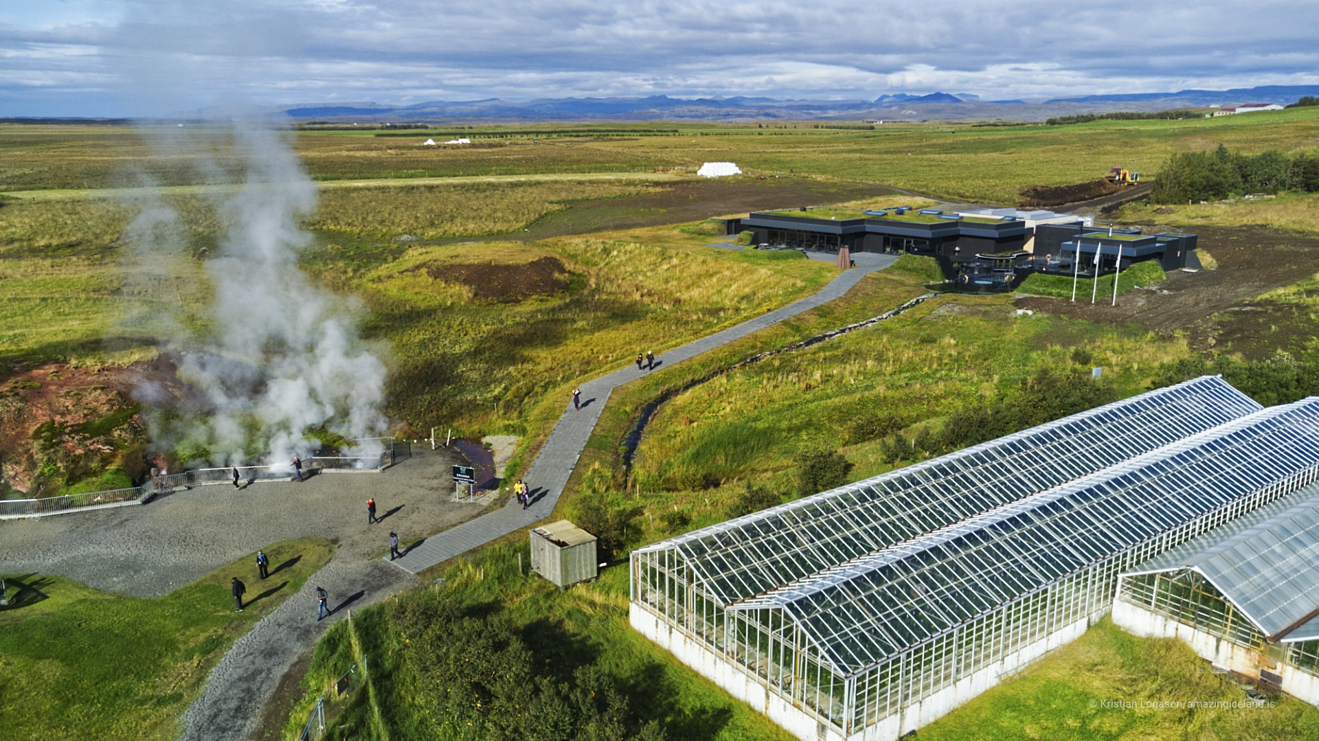
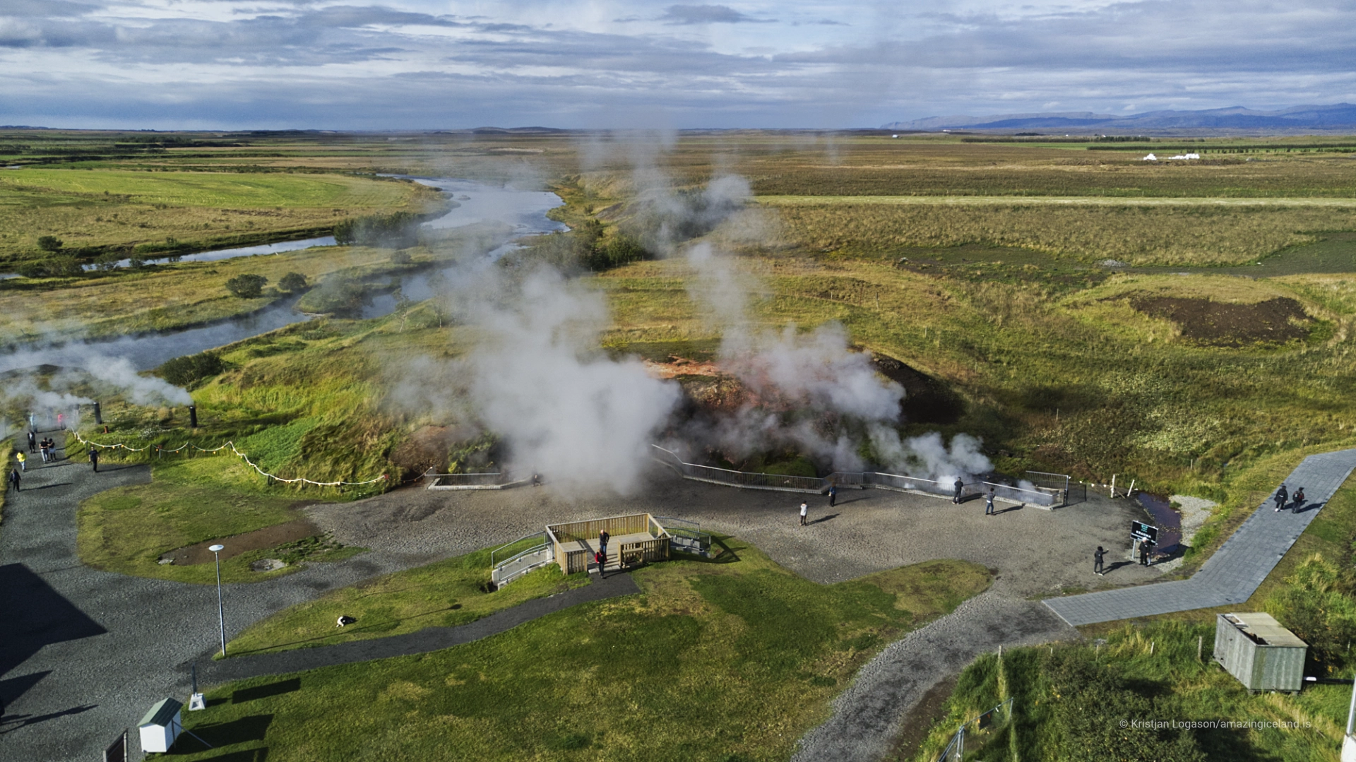
Reykholtsdalur is an agricultural landscape, and Deildartunguhver rises among fields rather than within a large geothermal wilderness. That setting makes its concentration of heat more striking. Steam lifts from a small area while farms, roads and cultivated land continue immediately around it, showing how closely geothermal activity and settlement can occupy the same valley.
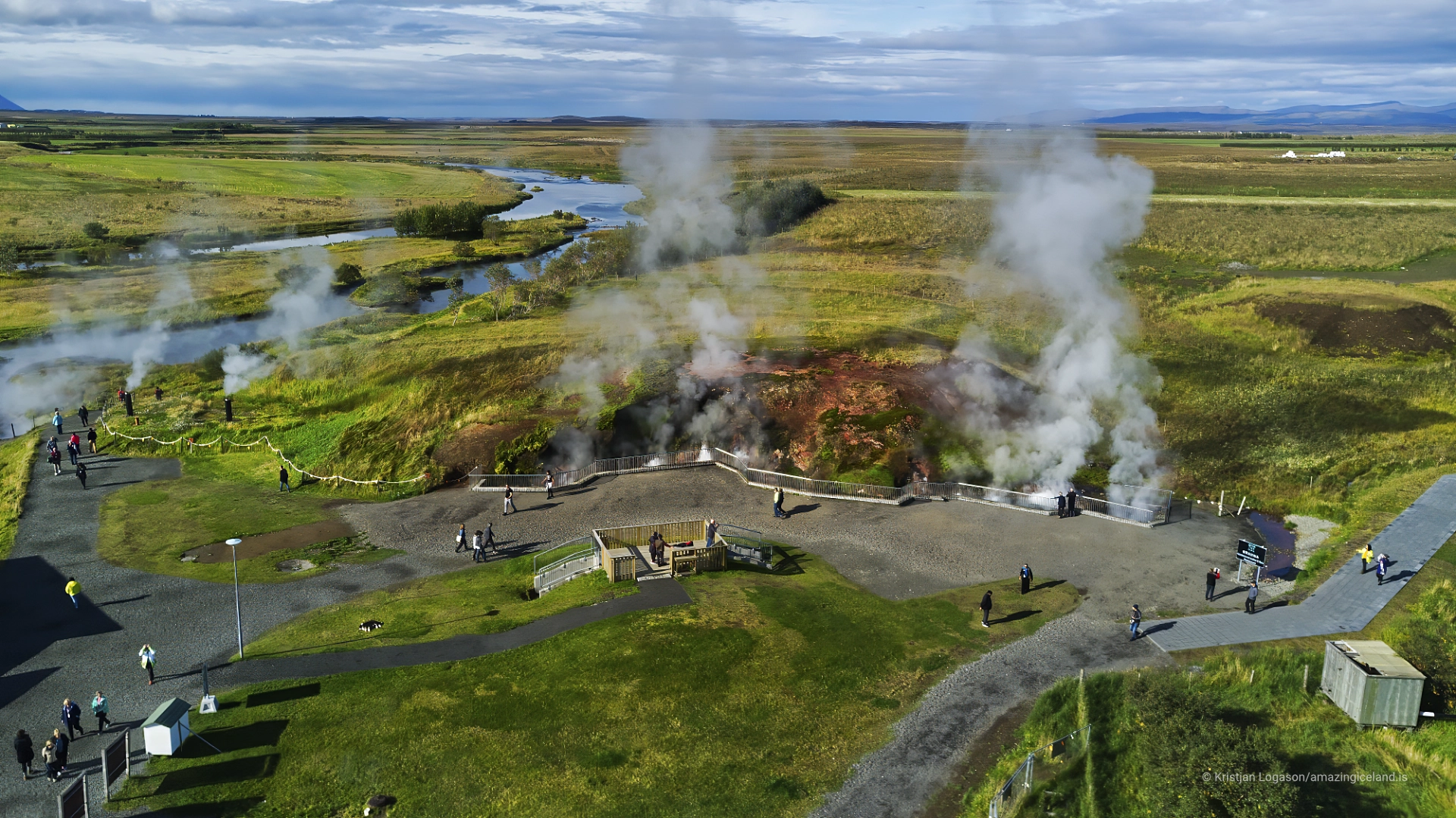
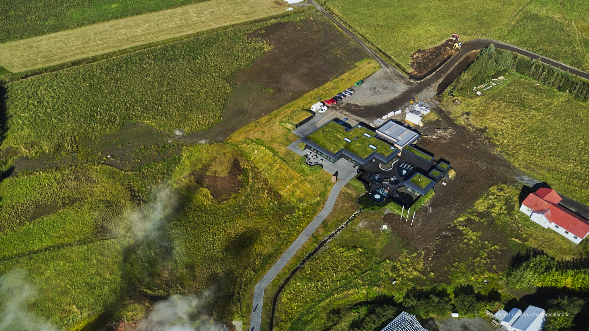
The contrast is also important when viewing the site from above. At ground level, boiling water and surface detail dominate. From the air, the spring becomes a compact source connected to pipes, buildings and the surrounding farmland. These are two complementary ways of understanding Deildartunguhver: first as an intense natural feature, then as the starting point of infrastructure extending far beyond what can be seen from the parking area.
Interesting facts:
-
- Deildartunguhver releases approximately 180 litres of water per second at about 97°C.
- It is regarded as Europe’s highest-flow hot spring.
- The regional district-heating authority serving Akranes and Borgarfjörður was formally established in 1979.
- The pipeline runs approximately 34 kilometres to Borgarnes and 64 kilometres to Akranes.
- Hot water takes roughly two to three days to travel from Deildartunguhver to Akranes.
- The natural spring is far too hot for bathing; the neighbouring commercial baths use its water only after it has been cooled.
Image Gallery
Photography tips:
- Work close to the visual contrast among boiling water, red lava, green moss and steam. These elements describe Deildartunguhver more clearly than steam alone.
- The most suitable light depends on the season. Low directional light can reveal the texture of the lava and water, while softer light can hold detail within bright steam and dark rock.
- Cold weather often produces denser steam and a more dramatic scene, but it can also hide the water. Change position as the wind moves the steam through the spring area.
- Use shorter exposures to preserve the turbulence of the boiling water. Moderately longer exposures can interpret movement in the runoff, but should not remove all sense of force.
- Include pipes or other working infrastructure where they help explain how the spring connects with the district-heating system.
- Aerial photography can show the spring’s compact scale within the fields of Reykholtsdalur and clarify its relationship with the surrounding infrastructure. Drone flights are permitted, but pilots should still check current rules and conditions before flying.
Destinations nearby