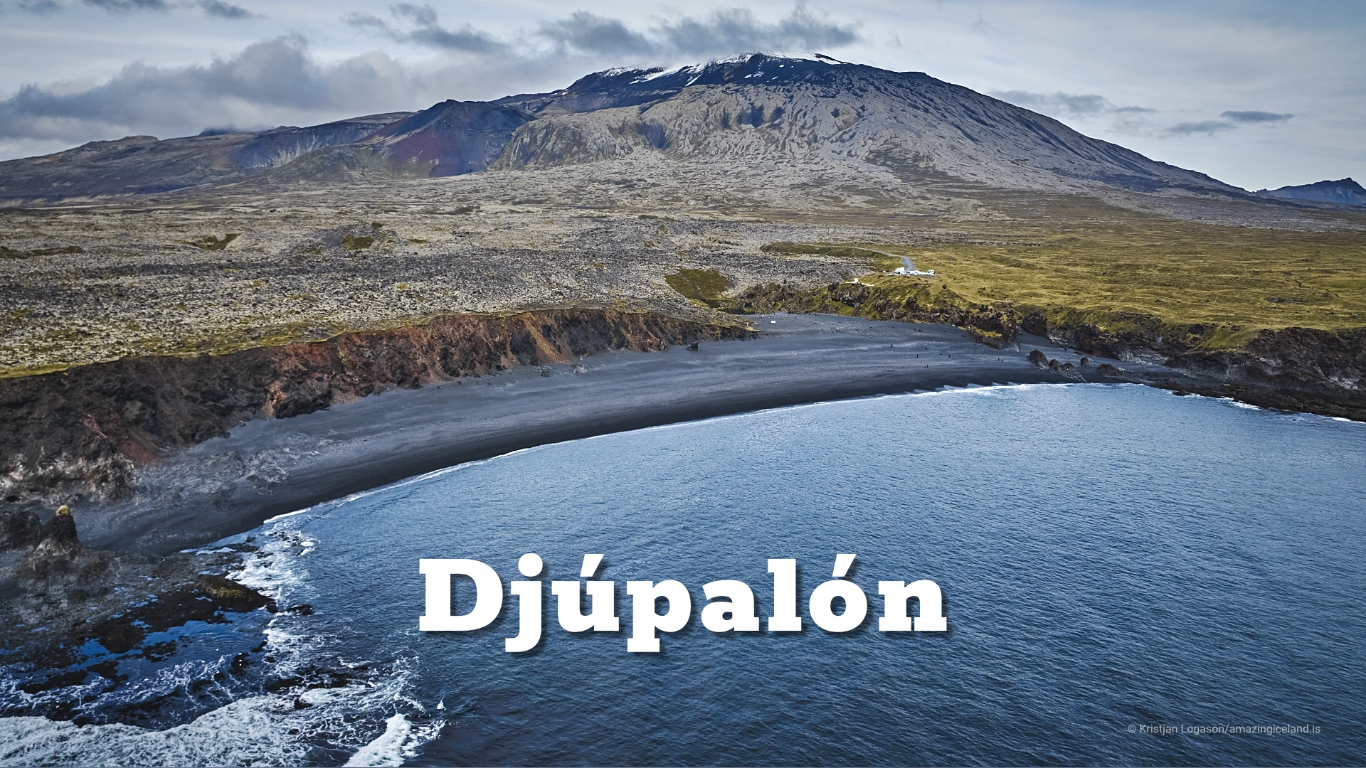
Djúpalón bay on Snæfellsnes peninsula
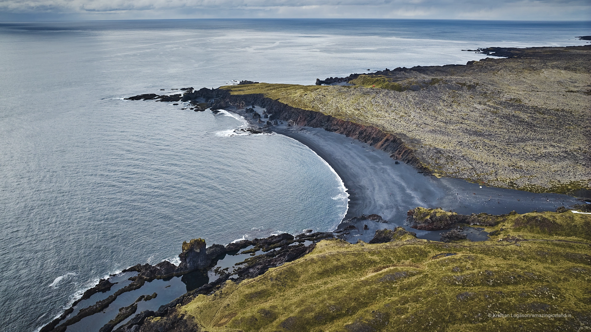
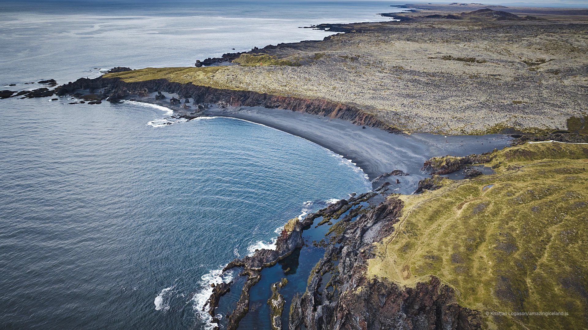
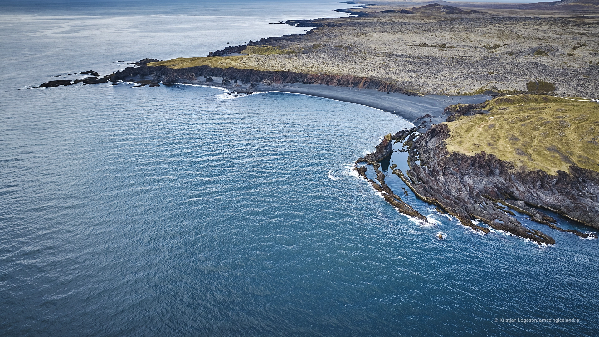
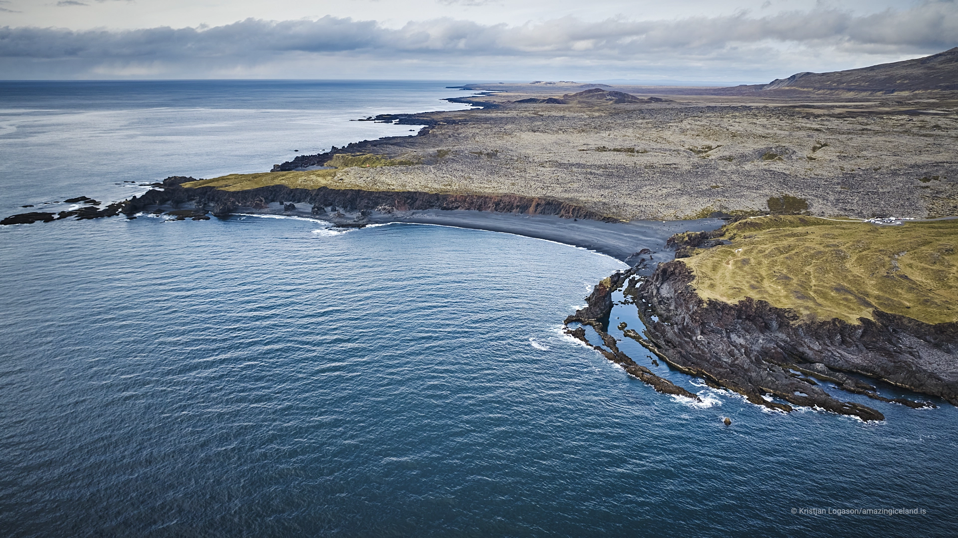
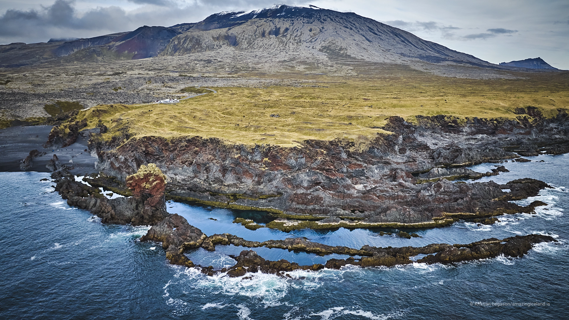
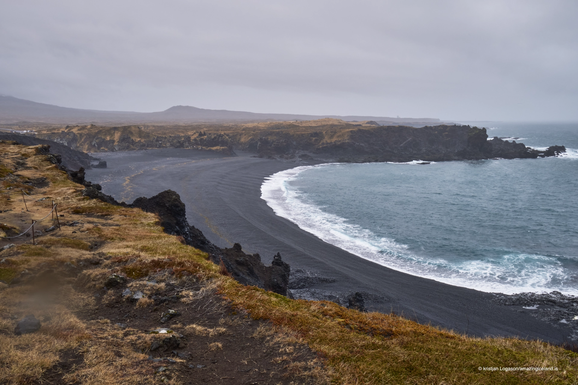
Djúpalónssandur lies at the western tip of Snæfellsnes, within **Snæfellsjökull National Park**. The beach is reached by a narrow paved road leading down from the main road towards a smaller parking area above the shore.
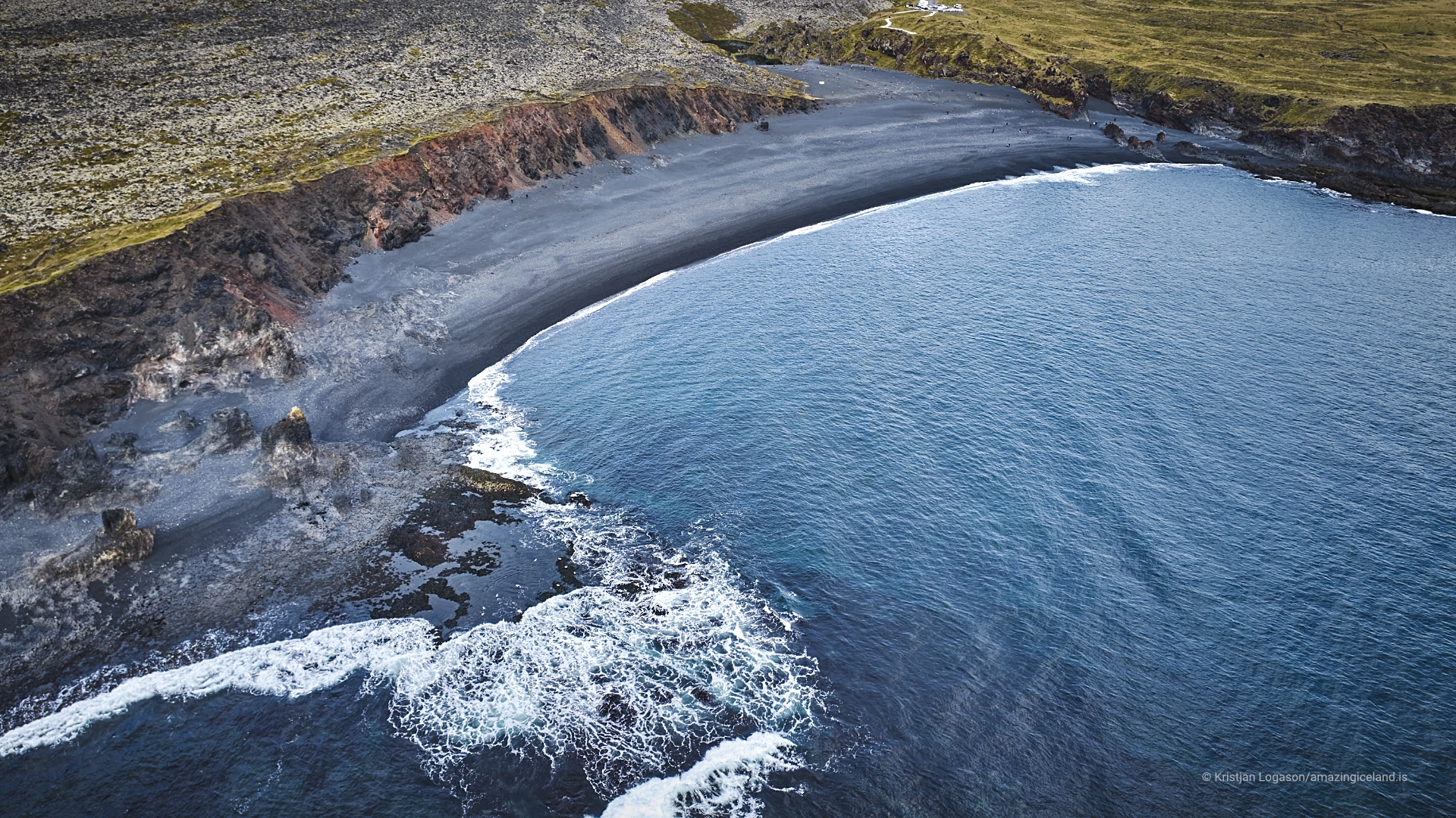
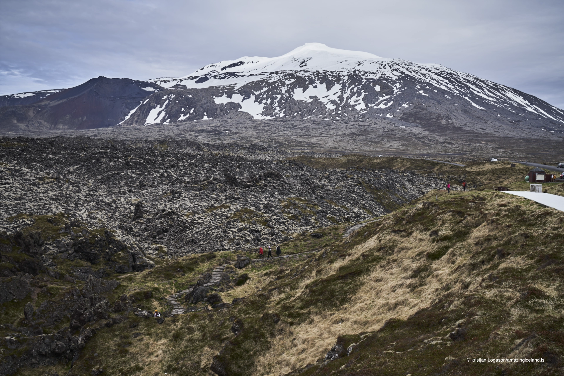
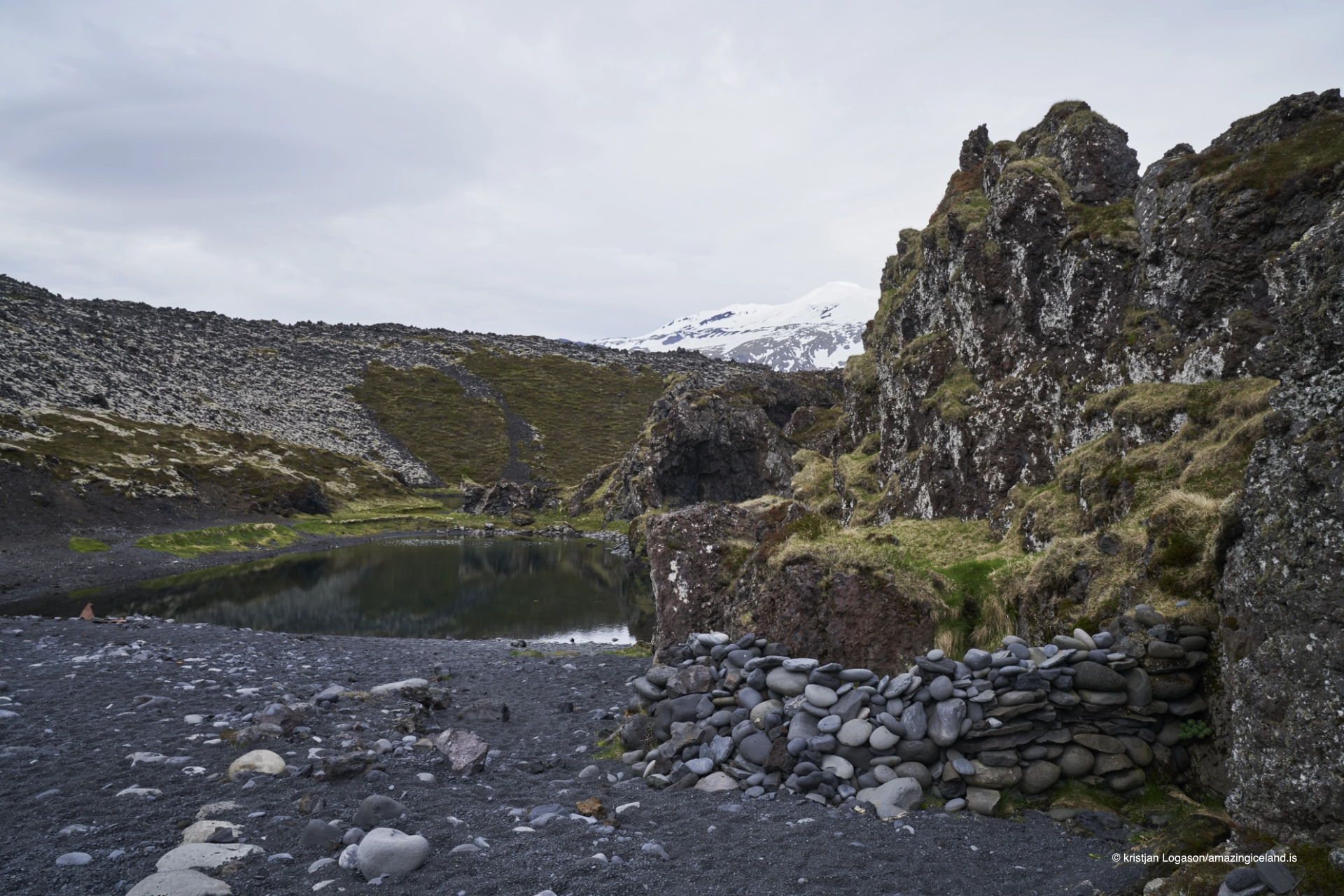
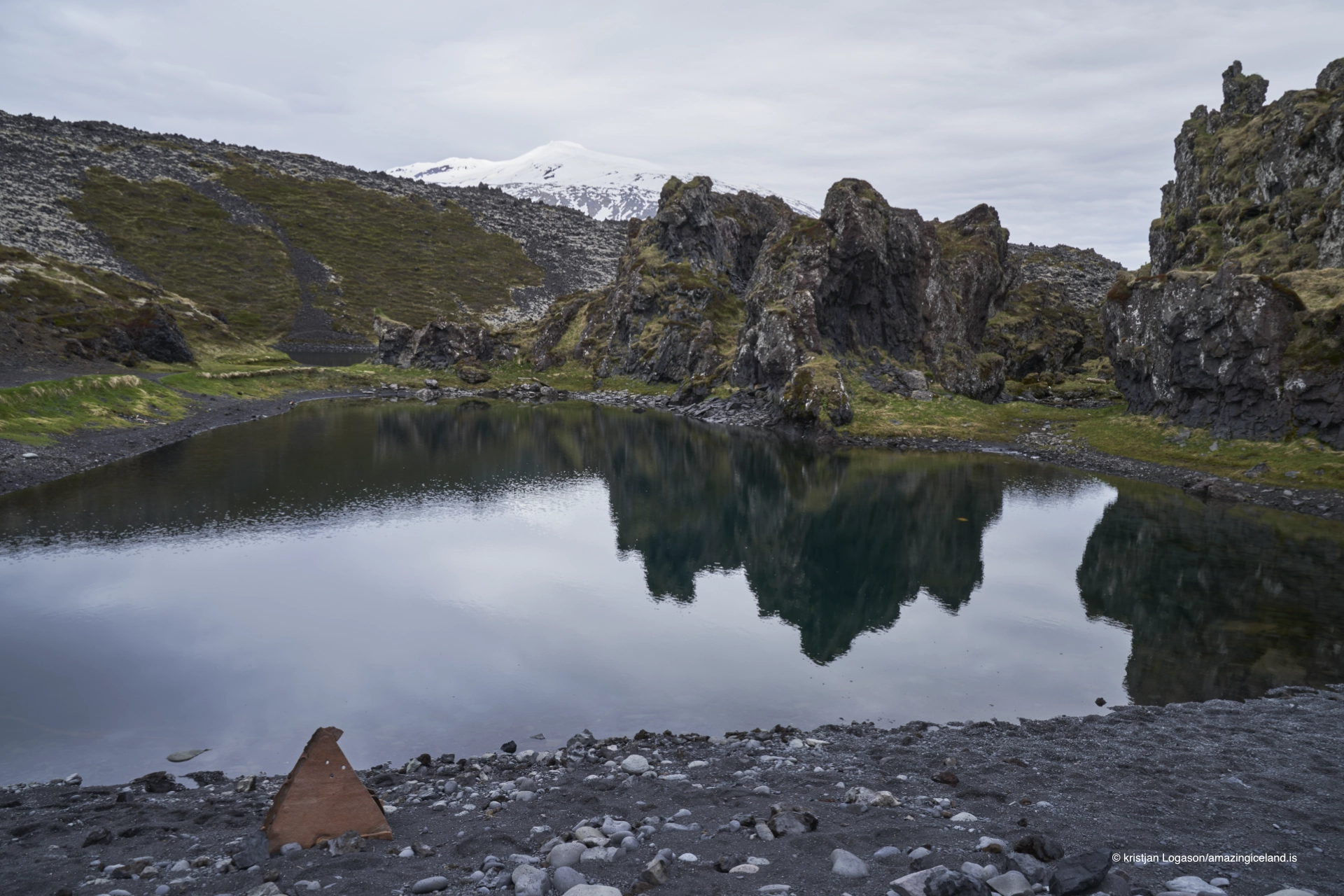
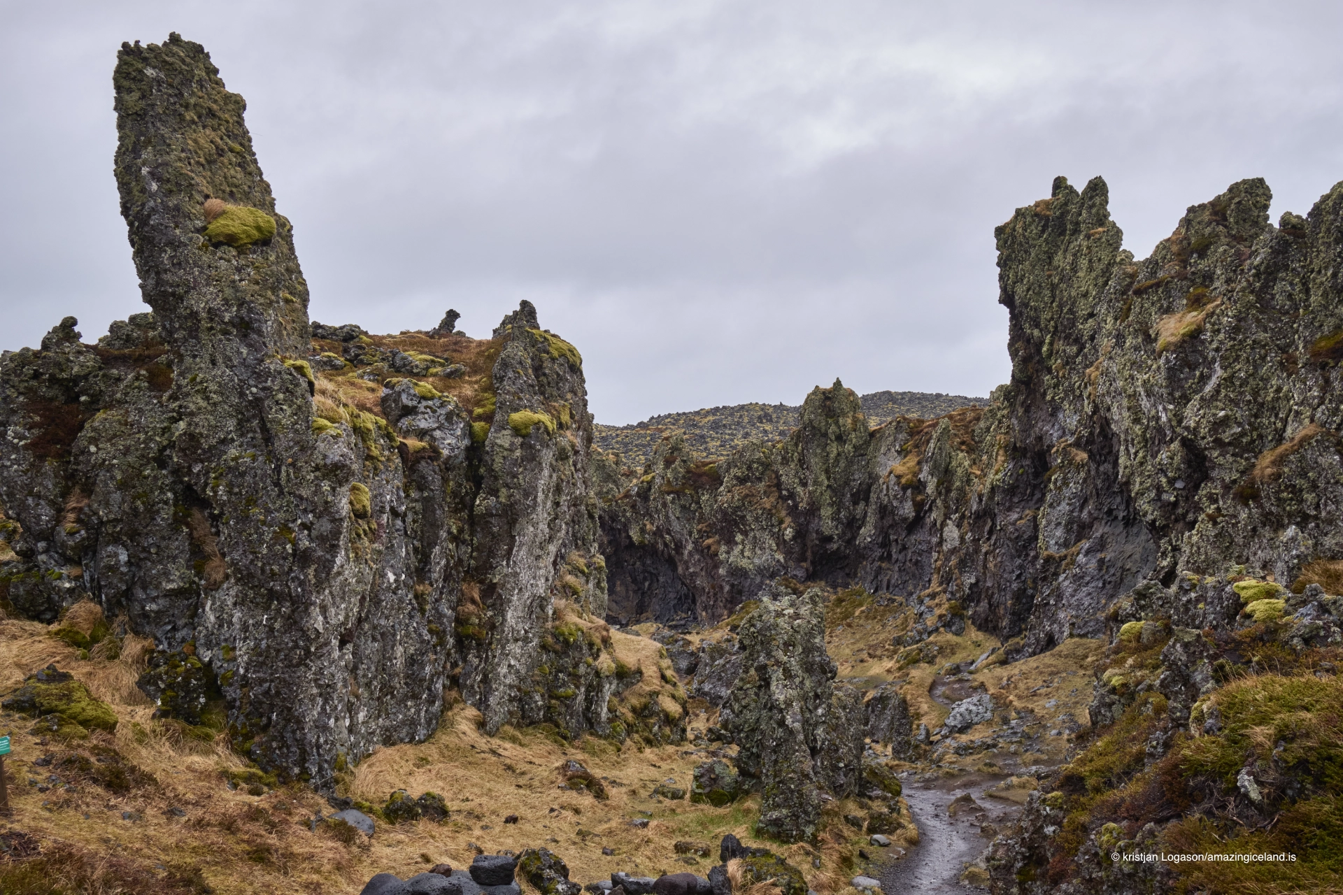
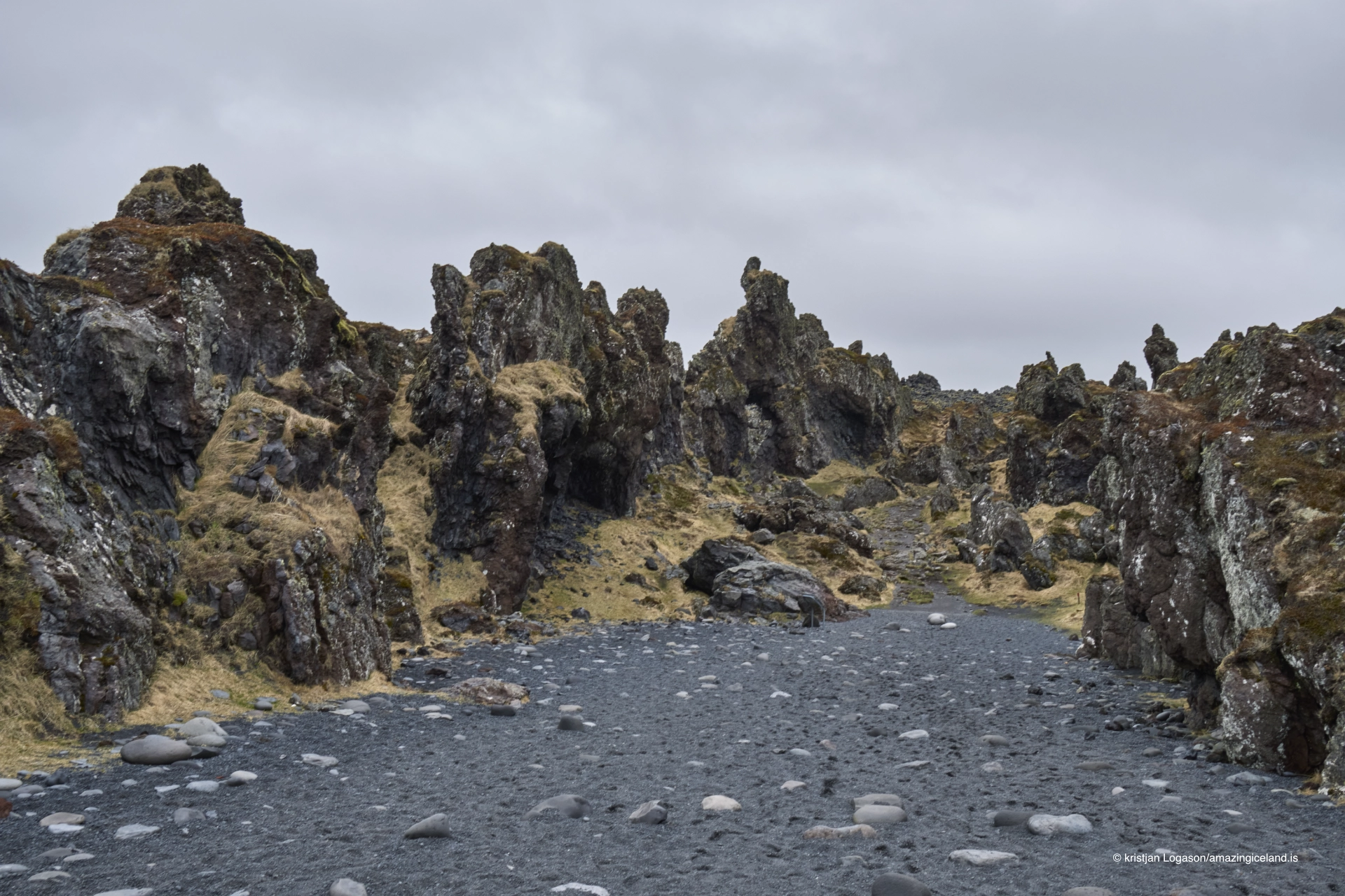
From there, a path descends through the lava to a beach of smooth black pebbles known as **Djúpalónsperlur — the Pearls of Djúpalón**. Behind the beach lie the small lagoons Djúpalón and Svörtulón, while nearby lava formations break up the landscape.
Djúpalónssandur combines several very different stories in one compact place: the lifting stones once used to judge the strength of fishermen, the scattered remains of the British trawler **Epine**, the nearby route to the old fishing station at Dritvík and a coastline fully exposed to Atlantic swell.
The location of Djúpalón bay on Snæfellsnes peninsula
Latitude
64.7494
Longitude
-23.9174
Djúpalón bay on Snæfellsnes peninsula
Djúpalónsperlur
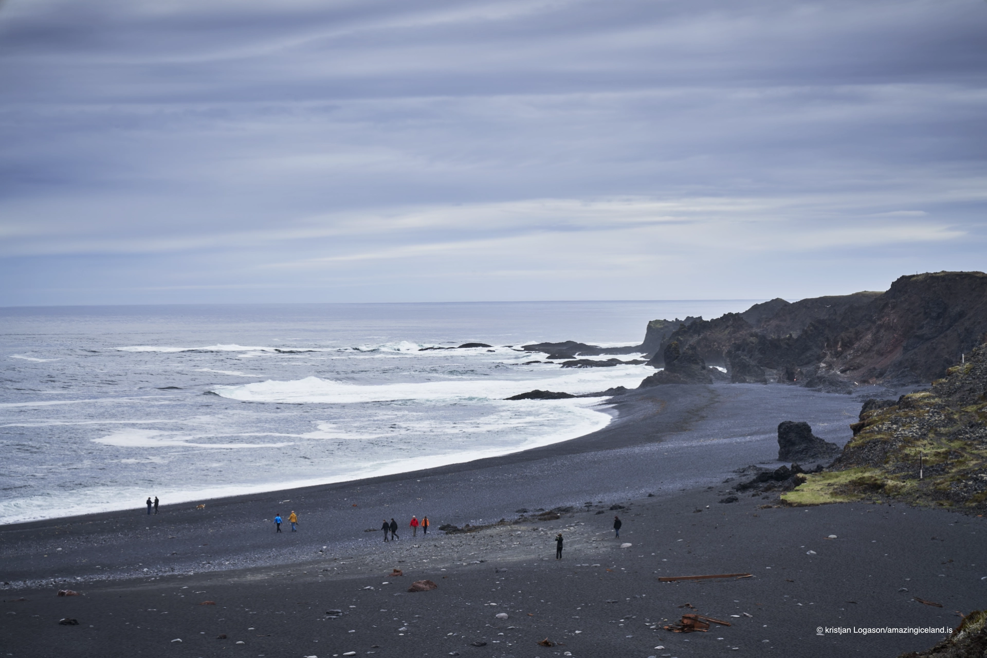
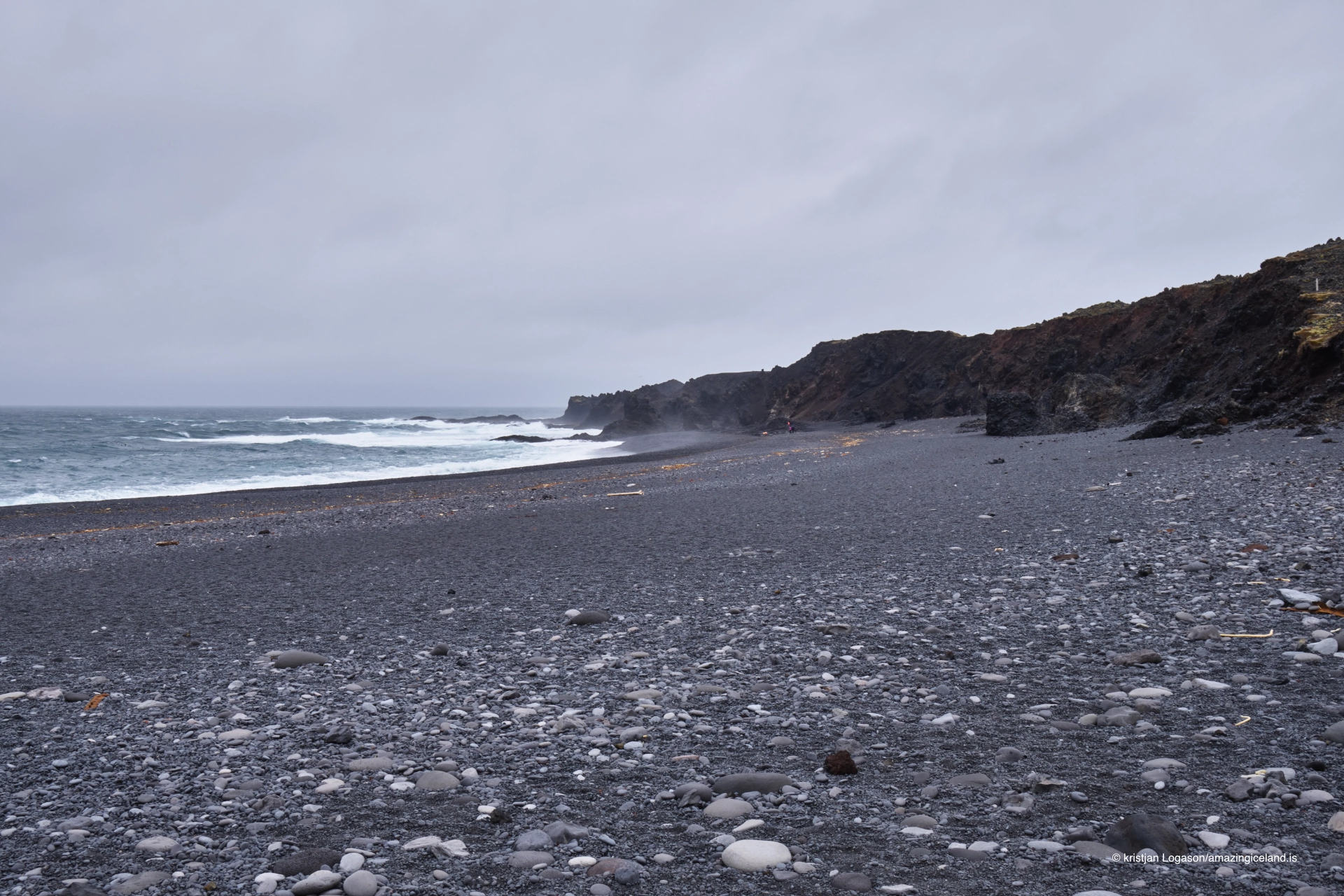
The beach at Djúpalónssandur is covered with smooth black pebbles rounded by the sea. These stones are known as Djúpalónsperlur, or the Pearls of Djúpalón.
They give the shoreline a very different character from the broad black-sand beaches found elsewhere in Iceland. The pebbles shift underfoot, reflect light differently when wet and create a heavy, textured beach that feels more like a field of polished volcanic stone than ordinary sand.
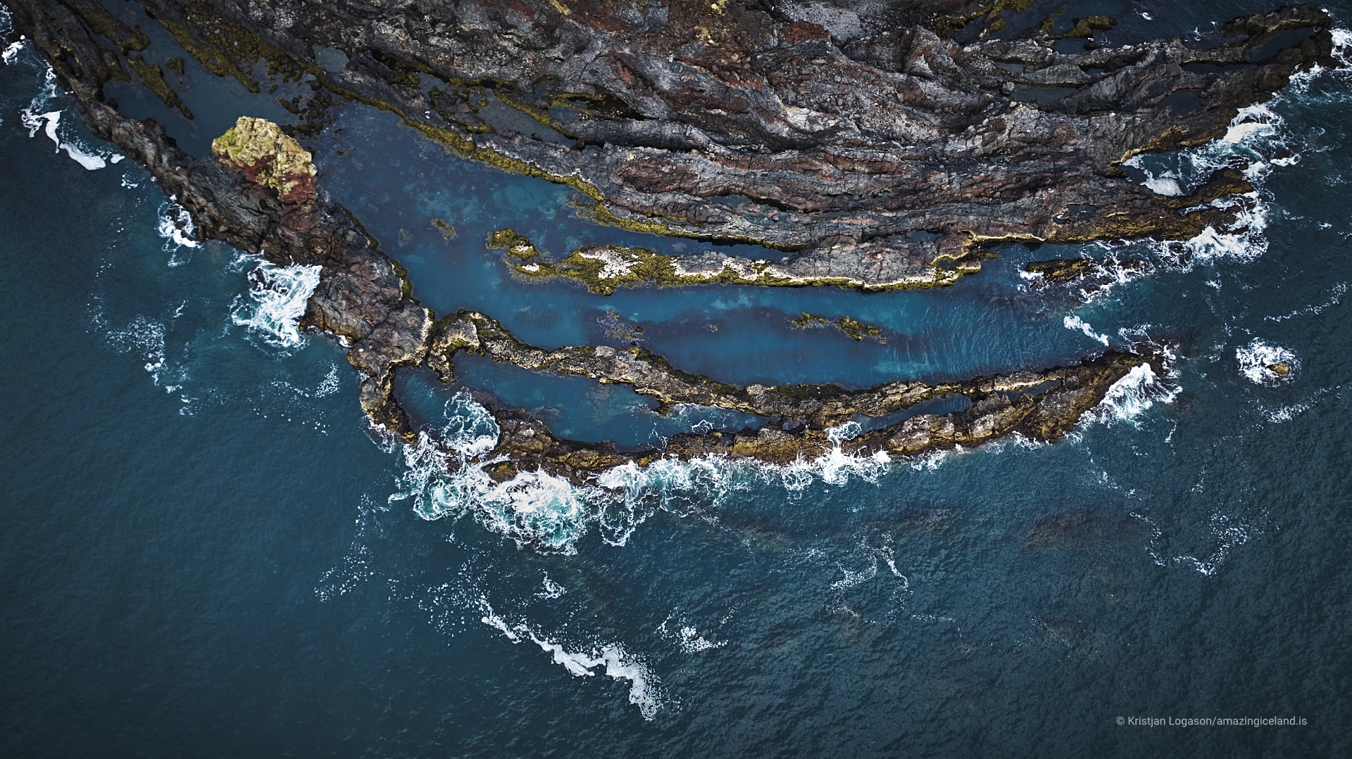
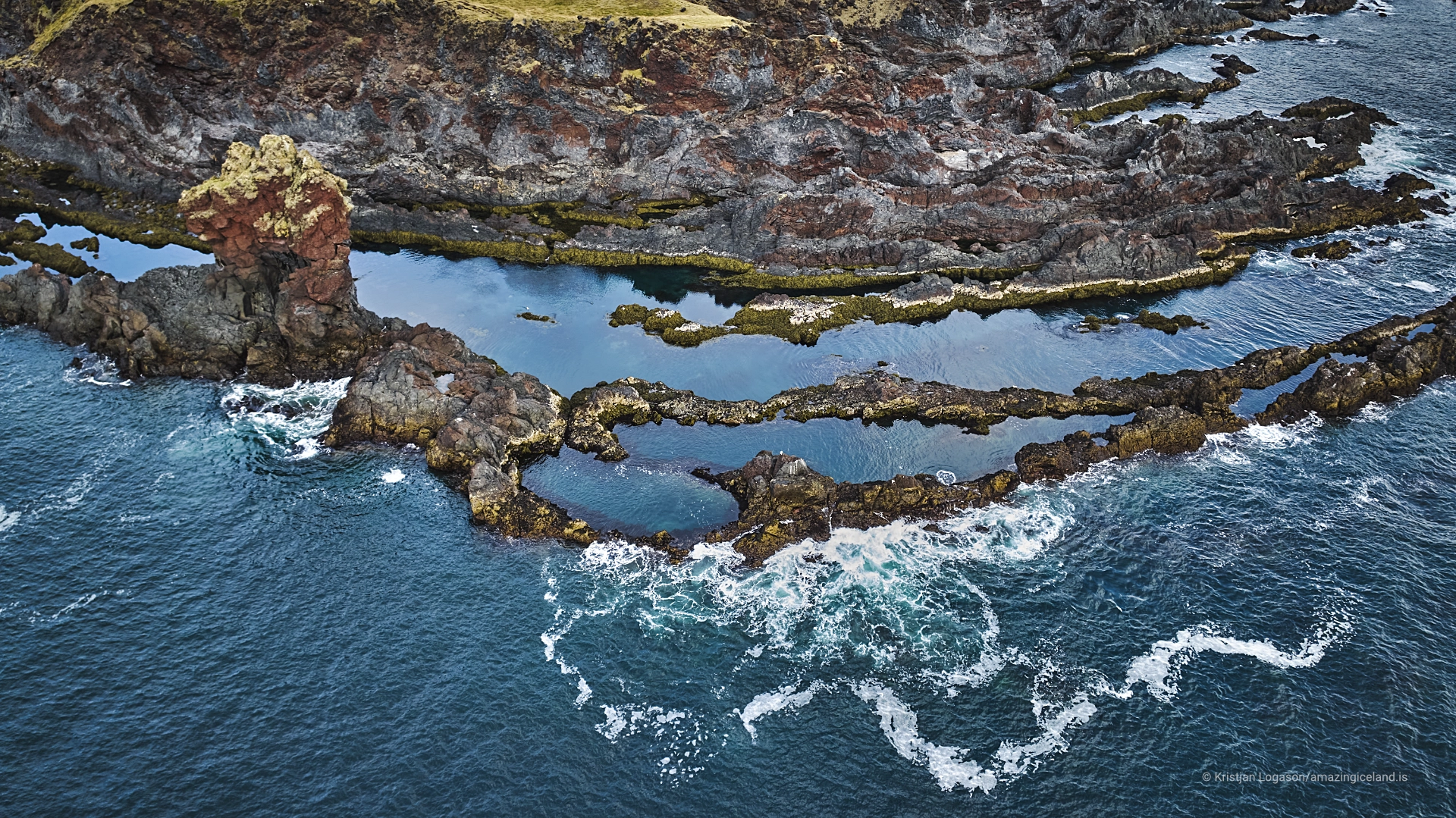
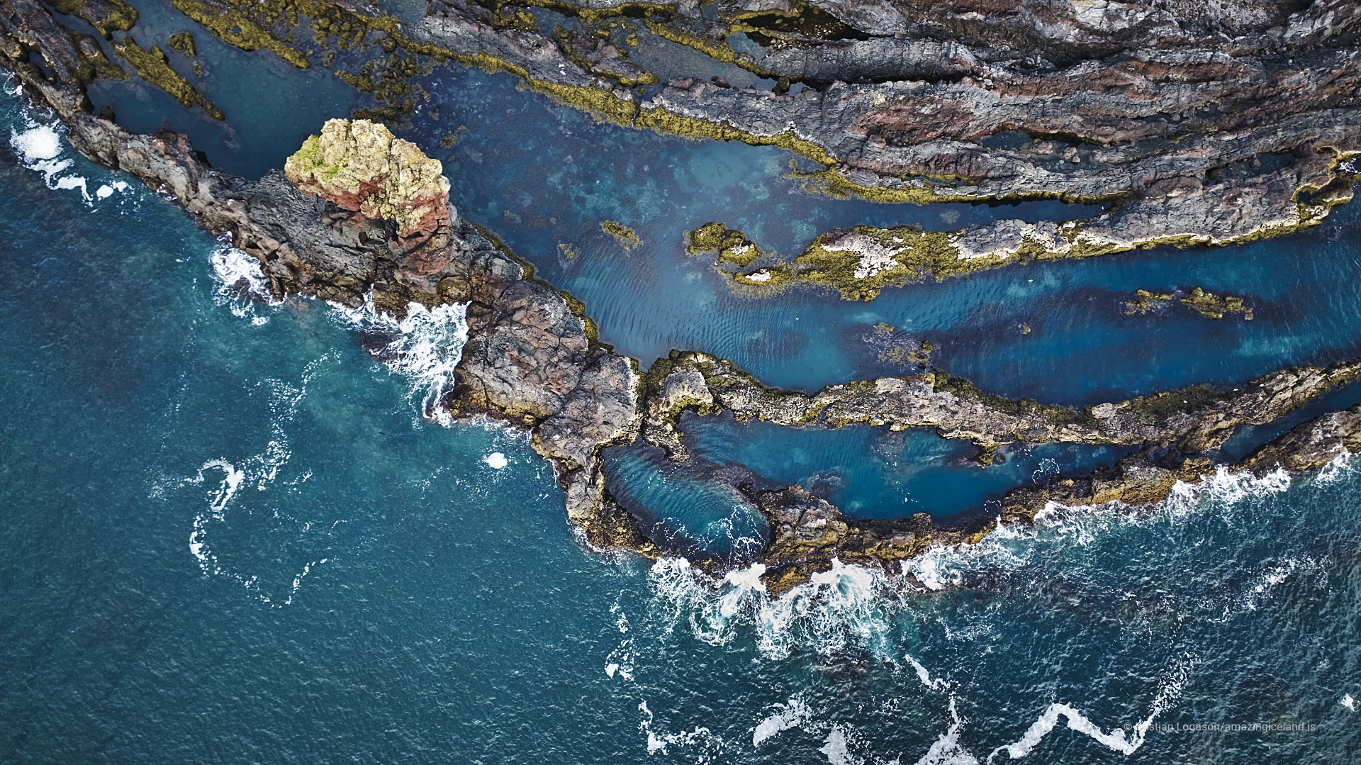
Behind the beach are the two small lagoons Djúpalón and Svörtulón. Djúpalón gives the beach its name, while the lagoons and surrounding lava make the setting much more complex than the shoreline alone suggests.
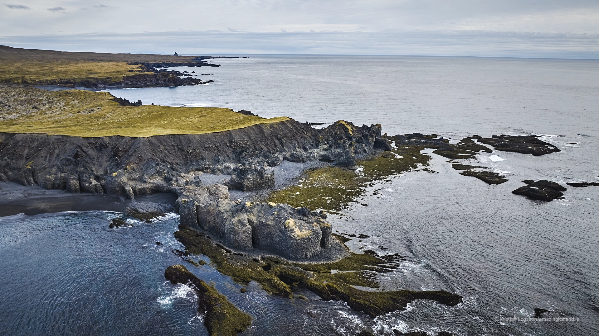
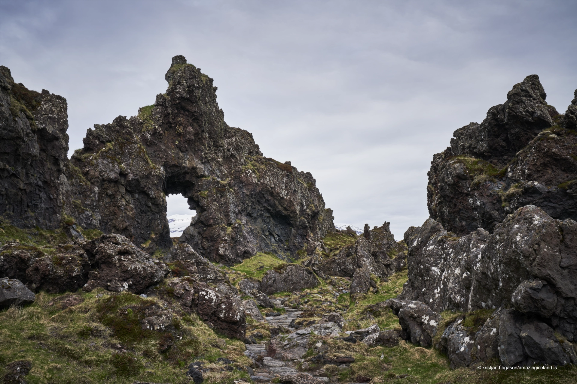
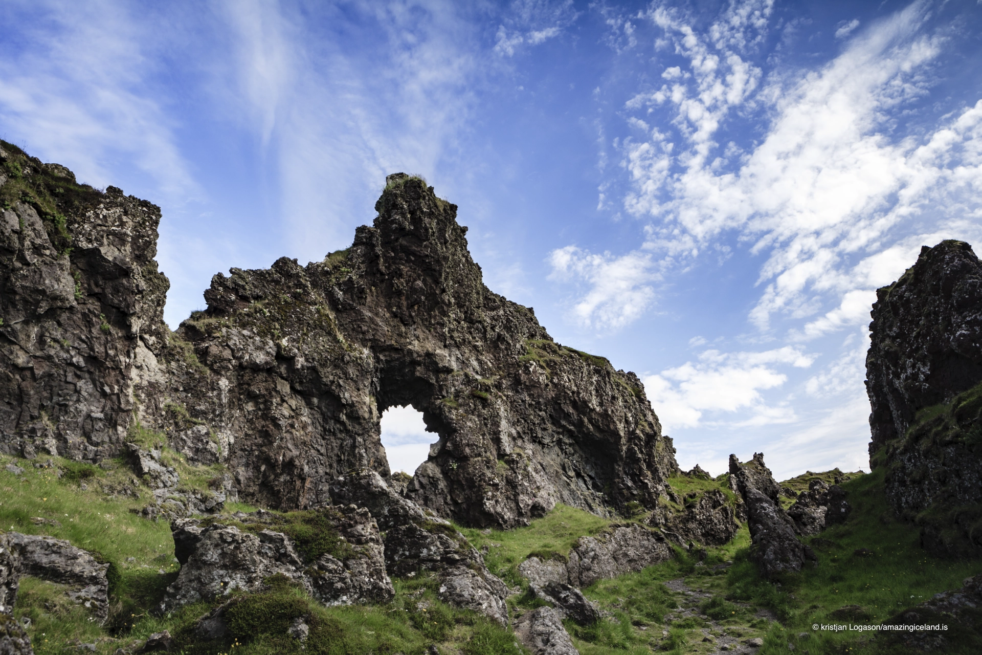
Around them are several lava formations, including Gatklettur near the lifting stones. Together, the pebbles, lagoons and lava create a landscape where almost every element is volcanic, but each has been shaped in a different way.
The four lifting stones
Near the beach are the Aflraunasteinar, four lifting stones traditionally used to test the strength of fishermen.
Each stone had its own name and weight:
- Fullsterkur — 154 kg
- Hálfsterkur — 100 kg
- Hálfdrættingur — 54 kg
- Amlóði — 23 kg
The names form a scale from fully strong to weak. A man was traditionally expected to lift Hálfdrættingur, the 54-kilogram stone, to qualify for a place on a fishing boat.
The stones therefore belong to the working culture of the fishing stations around this coast rather than being an invented visitor challenge. They give a very physical sense of the strength expected from men launching and recovering open boats from an exposed Atlantic shoreline.
That context matters more than whether a modern visitor can lift one. The stones survive because they were once part of deciding who was considered strong enough for the work.

The wreck of the Epine
On 13 March 1948, the British trawler Epine GY-7, from Grimsby, stranded off the coast near Djúpalónssandur during severe weather.
There were 19 men aboard. Fourteen died and five survived.
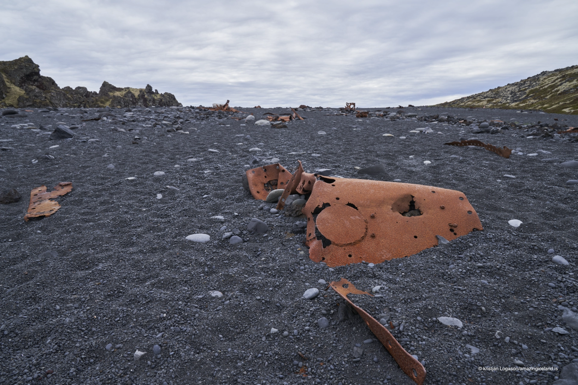
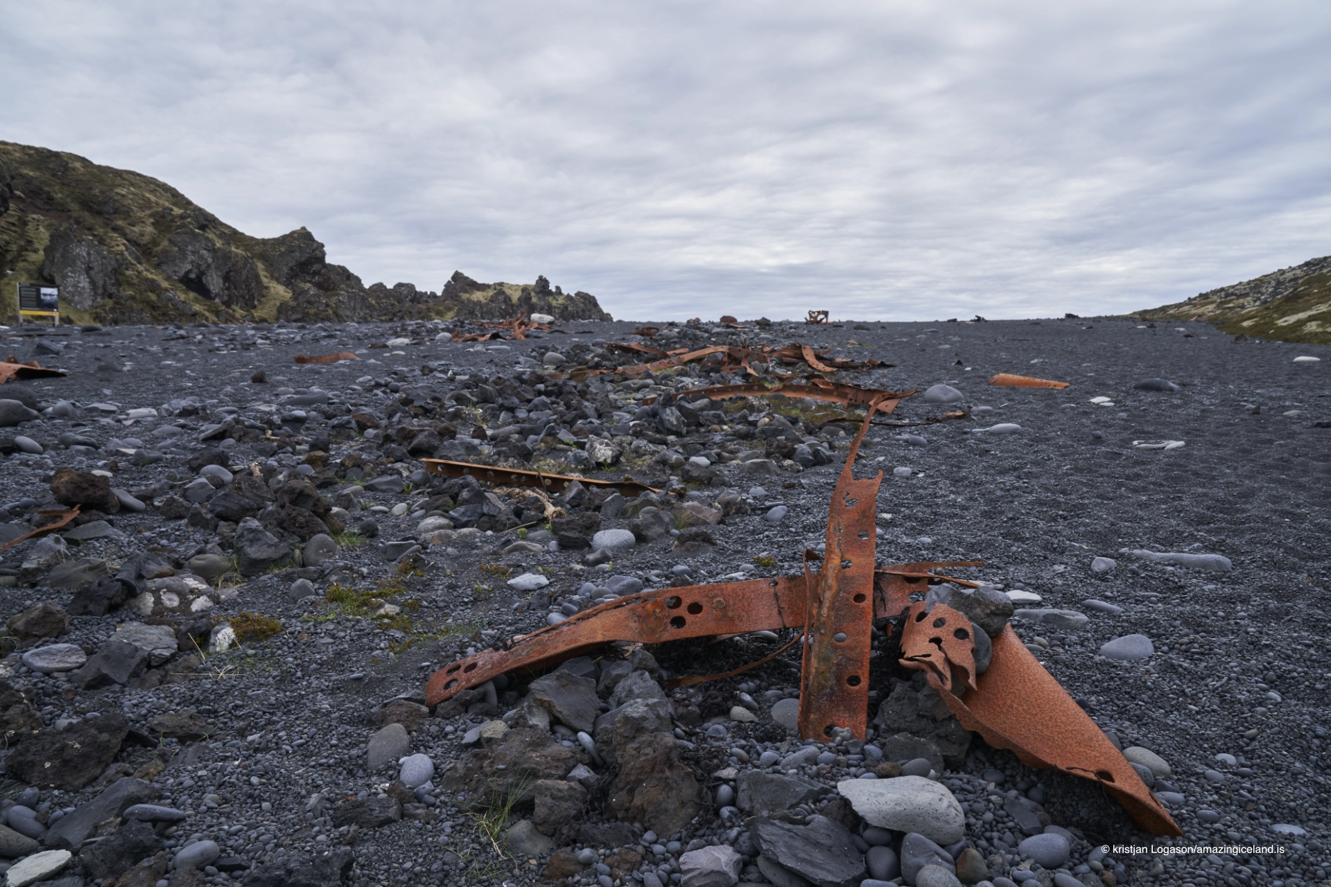
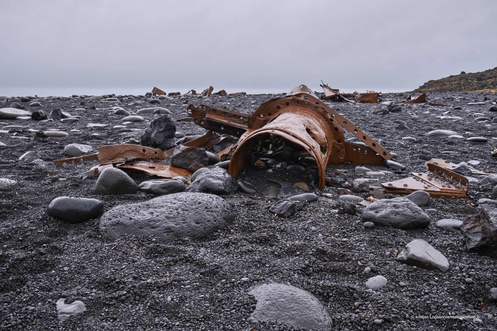
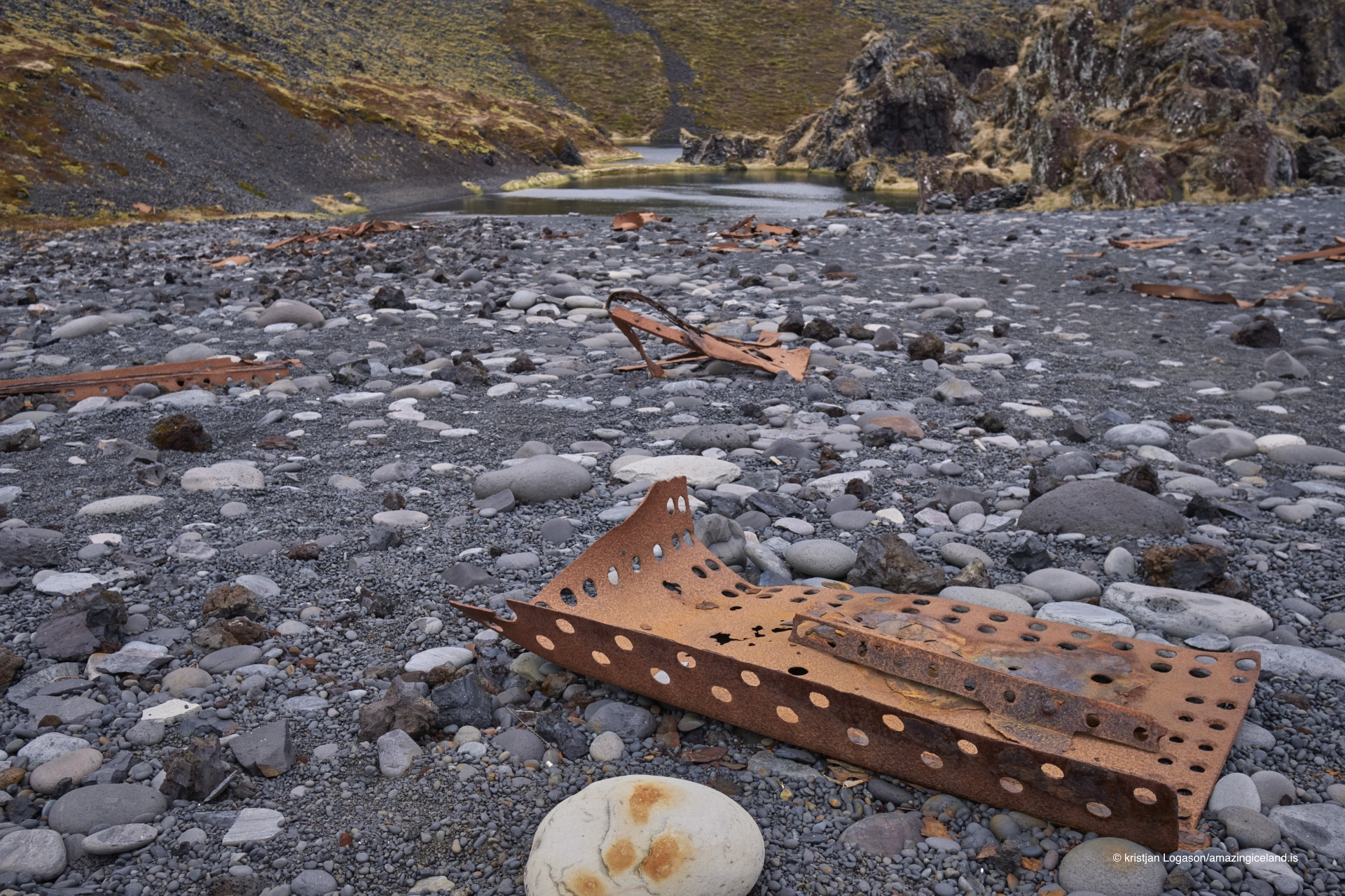
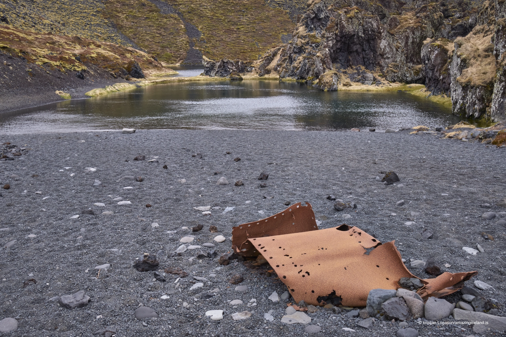
Fragments of the vessel were later thrown onto the shore, and rusted iron from the wreck remains scattered across the beach today. There is no single intact section of ship; individual pieces appear among the black pebbles over a broader area.
The wreckage can be approached and photographed, but it should be left exactly where it is. The fragments belong to the history of the disaster and have gradually become part of the beach itself.
Their scattered nature makes the story more powerful in some ways. The wreck is not presented as a reconstructed monument. What remains is simply the metal that the sea left behind.
Visiting Djúpalónssandur
The road to Djúpalónssandur is paved but narrow. A smaller parking area lies above the beach, while toilets and additional parking are closer to the main road.
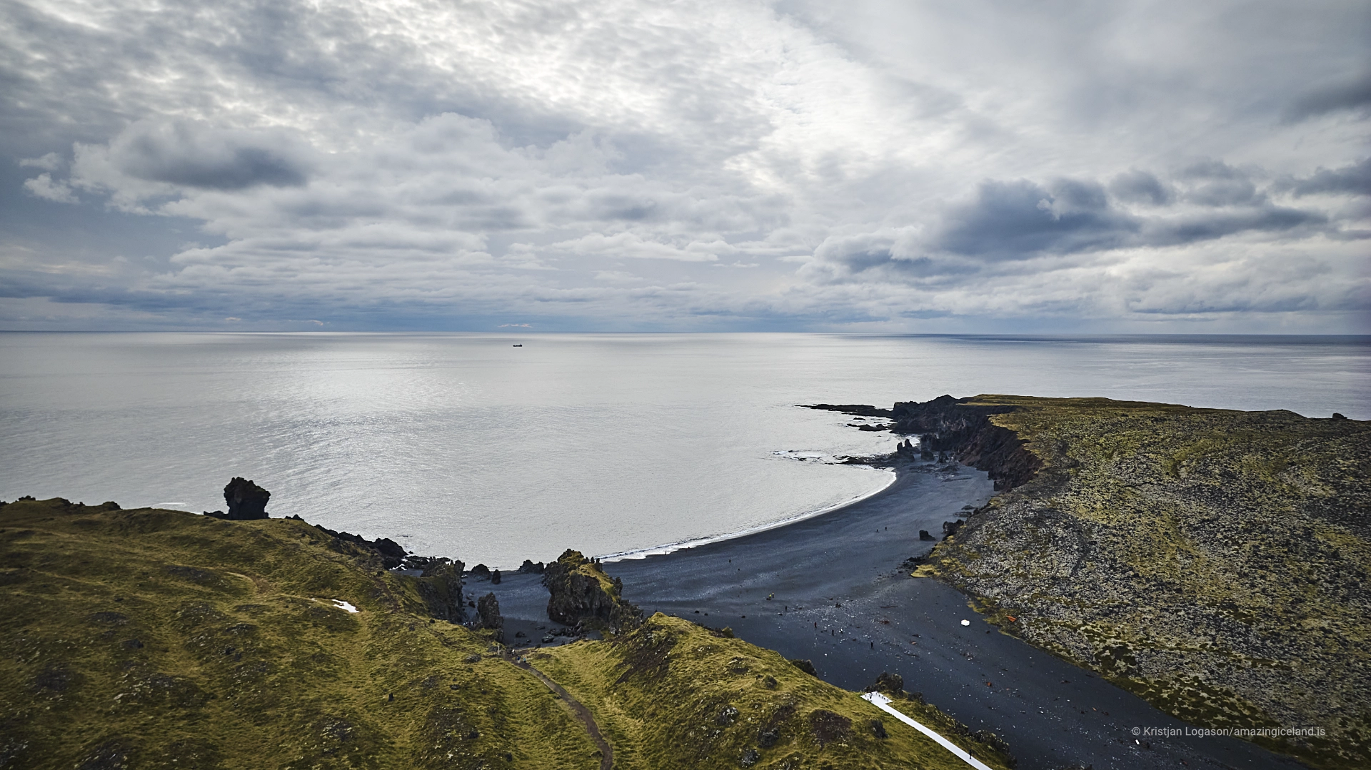
An accessible viewpoint above Djúpalónssandur allows visitors to see the coast without descending all the way to the shore. The main path leads down through the lava to the lifting stones, lagoons and beach.
The loose pebbles can be tiring to walk on, particularly on the sloping shoreline where every step moves the stones beneath your feet.
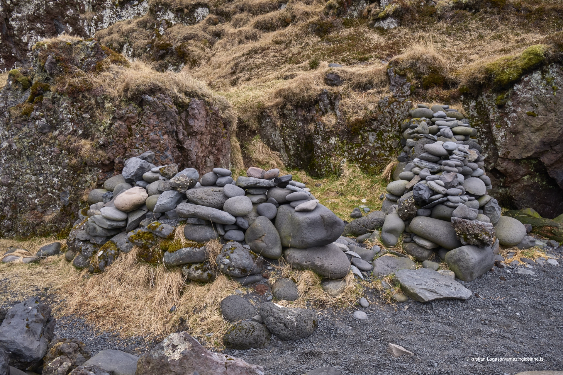
From Djúpalónssandur, an old route continues towards Dritvík, approximately 1 kilometre away. The walk is short, but current waymarking should not be relied upon completely because markers have been lost in bad weather.
Anyone continuing towards Dritvík should therefore be comfortable following the terrain rather than depending on a continuously marked trail. Dritvík has its own destination page, where the history of the former seasonal fishing station belongs.
The sea
Djúpalónssandur is an exposed Atlantic beach, and the main danger is wave run-up and sneaker waves.
A single wave can travel much farther up the shore than those immediately before it. The previous wave line is therefore not a safe boundary, and standing where the last wave stopped gives no guarantee that the next one will do the same.
The loose pebble slope makes retreat more difficult because the stones shift underfoot. Stay well back from the water and never turn your back on the sea.
Wading and swimming should not be attempted here. Deep water, powerful surf and strong currents make Djúpalónssandur a place to watch the Atlantic from shore rather than enter it.
The sea is part of what made this coast important to fishermen, and it is also the force that destroyed the Epine. It should be treated with the same respect today.
Interesting facts:
- The smooth black pebbles are called Djúpalónsperlur — the Pearls of Djúpalón.
- The four lifting stones are Fullsterkur, Hálfsterkur, Hálfdrættingur and Amlóði.
- Their weights range from 154 kg to 23 kg.
- Hálfdrættingur, 54 kg, was traditionally the minimum stone a fisherman was expected to lift to qualify for a boat crew.
- The British trawler Epine GY-7 stranded here on 13 March 1948.
- Of the 19 men aboard, 14 died and five survived.
- Wreck fragments remain scattered across the beach.
- Djúpalónssandur takes its name from the lagoon Djúpalón.
- Svörtulón is the second lagoon behind the beach.
- Dritvík lies roughly 1 km away.
Image Gallery
Photography tips:
- Treat Djúpalónssandur as a landscape rather than a checklist of separate objects.
- Photograph the lifting stones within the surrounding lava so their relationship with the old fishing culture remains visible.
- Use fragments of the Epine wreckage as foreground material, especially when the black pebbles and sea are included to give them context.
- The smooth Djúpalónsperlur create strong texture in lower-angle compositions, especially when wet.
- Gatklettur and surrounding lava formations can work as framing elements or secondary subjects.
- For surf photographs, stay well back from the water. Sneaker waves are a real hazard, and working close to the current wash line for a stronger foreground is not worth the risk.
- Low light and broken cloud often work particularly well because they bring out structure in the lava and give the black pebble shore more tonal variation.
- Longer focal lengths can isolate wreck fragments or details in the beach, while wider lenses work better for showing the relationship between pebbles, lava, lagoons and sea.
Destinations nearby