Bjarnarfoss in Snæfellsnes west Iceland
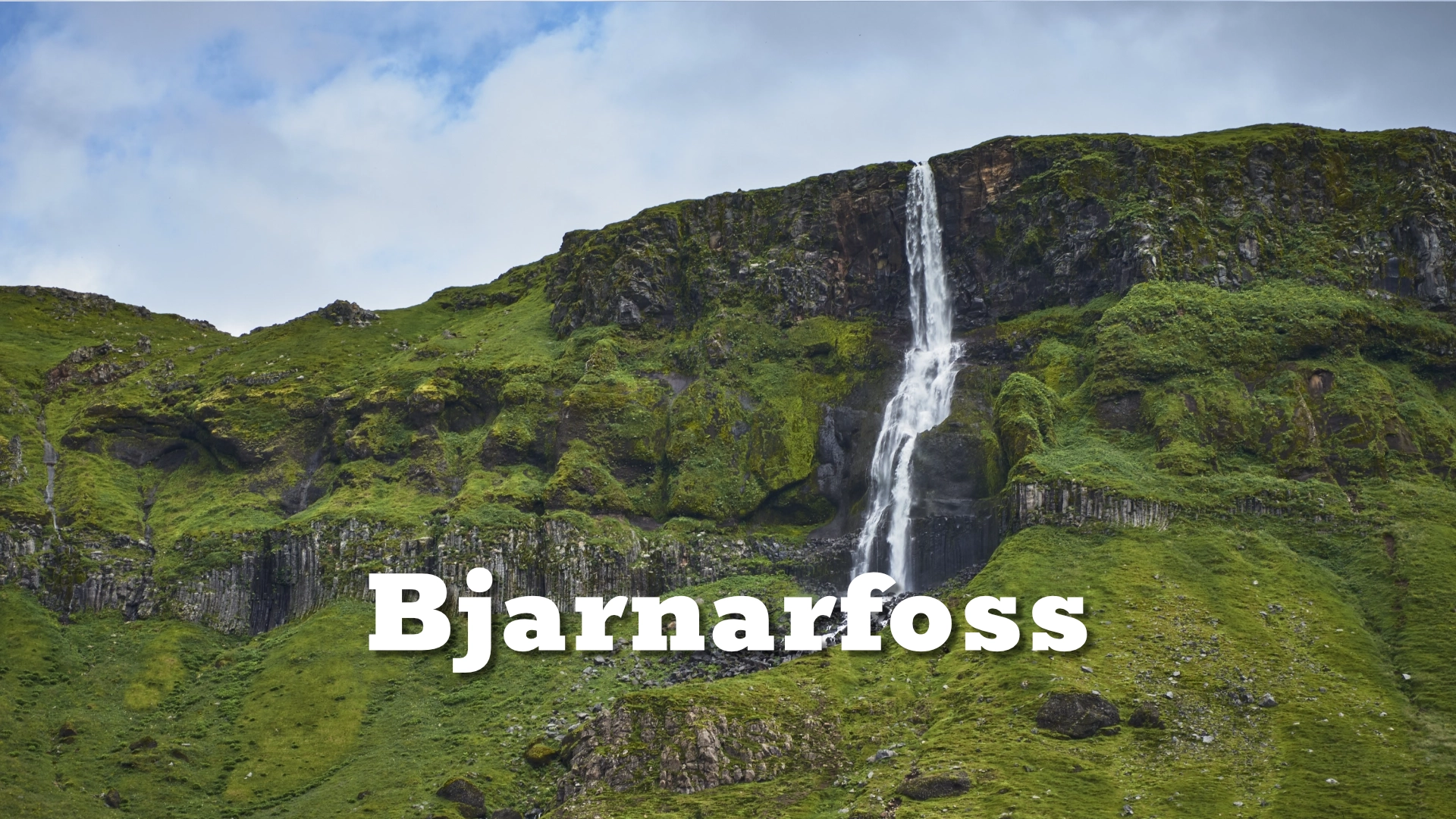
Bjarnarfoss is one of the most visible waterfalls on the south side of the Snæfellsnes Peninsula. It falls from the cliffs below **Mælifell**, dropping in two main stages before continuing down through the lower part of **Bjarnaá**.
From Route 54 the waterfall is easy to spot, especially when there is plenty of water coming off the mountain. A marked path from the parking area leads closer to the falls and gives a much better sense of the cliff, the height of the water and the surrounding landscape.
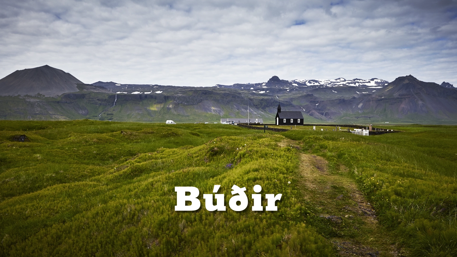
The walk is short, but the position above the coast makes Bjarnarfoss more interesting than it first appears from the road. Looking back from the path, the landscape opens towards Búðir, the lava fields and the sea.
The location of Bjarnarfoss in Snæfellsnes west Iceland
Latitude
64.8427
Longitude
-23.4021
Bjarnarfoss in Snæfellsnes west Iceland
Bjarnarfoss below Mælifell
Bjarnarfoss is approximately 80 metres high and falls in two main stages over the cliff below Mælifell. The waterfall is part of Bjarnaá, which drains the mountain slopes above the south coast of Snæfellsnes.
The amount of water can vary considerably with weather and season. After rain or during periods of snowmelt, the waterfall becomes much more forceful, while in drier conditions the upper fall can appear thinner and more broken.
Strong wind also changes its appearance. On exposed days, the falling water can be blown sideways across the cliff or partly dispersed before reaching the lower slope.
That variability is part of Bjarnarfoss rather than something that makes the waterfall less interesting. The fall is closely tied to the conditions on the mountain above, and its character can change noticeably from one visit to another.
The cliff and geological setting
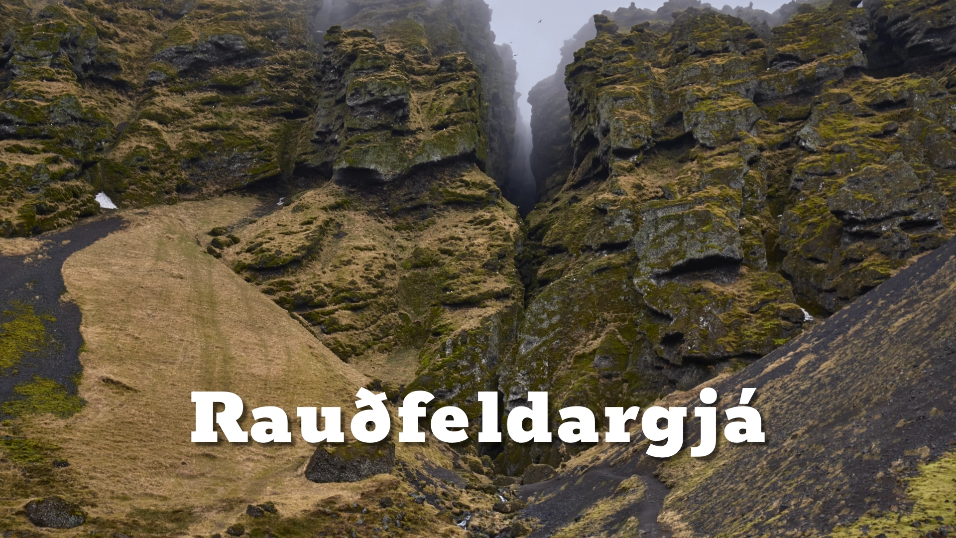
The cliffs around Bjarnarfoss belong to the old volcanic landscape of Mælifell. The waterfall drops over dark basalt, creating a simple but effective contrast between white water and the broad cliff face.
From a distance, Bjarnarfoss can appear small against the mountainside. Walking closer changes that completely.
The cliff becomes far more dominant, and the scale of the waterfall is easier to understand from below. What first looks like a thin line from Route 54 becomes a much larger landscape feature once the surrounding rock fills the view.
The setting matters as much as the waterfall itself. Below the cliff, the lowlands open towards Búðir and the coast, placing Bjarnarfoss within the wider south side of Snæfellsnes rather than leaving it as an isolated roadside feature.

Walking to Bjarnarfoss
Bjarnarfoss has a parking area just off Route 54. From there, a marked path leads towards the waterfall.
The walk is approximately 600 metres, with around 50 metres of elevation gain. In normal summer conditions it is straightforward and does not require a long visit.
Winter is different. Snow and ice can make the path much more difficult, particularly on the steeper sections, while strong wind can make the upper part of the walk uncomfortable.
The route may remain physically accessible in winter, but conditions should not be judged from the road alone. Ice, drifting snow and wind can change a short walk into something much less simple.
The view back towards Búðir
One of the best reasons to walk higher towards Bjarnarfoss is the view in the opposite direction. As the path gains height, the landscape opens towards Búðir, the coast and the low lava fields below.
Búðakirkja can be picked out within the wider landscape, while the coastline beyond gives a much clearer sense of where Bjarnarfoss sits on the peninsula.
That view is easy to miss if the waterfall is only photographed from Route 54. The combination of mountain, falling water, lava and coast explains the place much better than a tight view of the waterfall alone.
The walk therefore adds more than proximity. It changes the scale of the scene and reveals how closely Bjarnarfoss belongs to the surrounding landscape.
Interesting facts:
Bjarnarfoss is approximately 80 metres high.
- The waterfall drops in two main stages.
- It lies on Bjarnaá below Mælifell.
- Bjarnarfoss is clearly visible from Route 54.
- The walking path is approximately 600 metres long.
- The ascent is around 50 metres.
- Higher on the path there are wide views back towards Búðir and the south coast of Snæfellsnes.
Image Gallery


Photography tips:
- Bjarnarfoss changes considerably with wind and water level, so do not expect the fall to look the same on every visit.
- After rain or during snowmelt, the waterfall is usually fuller and more clearly defined against the cliff.
- Strong wind can push the falling water sideways. Instead of treating that only as a problem, use the movement as part of the image.
- From below, include enough of the cliff to give the waterfall scale rather than isolating only the falling water.
- Higher on the path, turn around and photograph towards Búðir and the coast. Those compositions often explain the location better than a close view of the waterfall.
- Low-angle light can bring out texture in the basalt cliff, especially when parts of the waterfall remain in shade.
- A longer focal length can isolate the two main stages of the fall, while a wider lens is better for combining the waterfall with the surrounding mountain and coast.
Destinations nearby