Reykjanesviti Lighthouse
Reykjanesviti lighthouse occupies a special place in Icelandic maritime history. The first lighthouse in Iceland was built here in **1878**, on the coastal ridge of Valahnúkur.
It did not remain there for long. Earthquakes and continuous erosion by the Atlantic gradually destabilised the site, and by the beginning of the twentieth century there was a real danger that the lighthouse itself could eventually disappear into the sea.
A replacement was therefore built farther inland in **1907–1908**. That lighthouse still stands today, continuing to serve as an active aid to navigation more than a century later.
The history of Reykjanesviti is therefore not simply the story of one lighthouse. It is also a story about the forces shaping the Reykjanes coast and the decision to retreat from them before the sea made the choice itself.
The location of Reykjanesviti Lighthouse
Latitude
63.8158
Longitude
-22.7045
Reykjanesviti Lighthouse
Iceland’s first lighthouse
The first Reykjanesviti was built in 1878 on Valahnúkur, close to the exposed coast at Reykjanestá. It was Iceland’s first lighthouse and occupied a position with excellent visibility for ships approaching the southwestern coast.
That same position also exposed the structure to some of the most powerful natural forces on the peninsula. Valahnúkur is made largely from relatively soft volcanic material that is continuously attacked by the North Atlantic, while frost, weathering and earthquakes gradually weaken the higher parts of the cliff.
By 1905, earthquakes and coastal erosion had damaged the site enough to raise serious concerns about the future of the lighthouse. Rather than attempt to preserve the tower indefinitely on increasingly unstable ground, the decision was made to construct a replacement farther inland.
Work on the new lighthouse began in 1907, and the present Reykjanesviti entered service in March 1908. Once the new light was operating, the original structure was no longer needed.
On 16 April 1908, the old lighthouse on Valahnúkur was deliberately demolished with explosives. Fragments of the original structure can still be found among debris below the ridge, while the continuing erosion of Valahnúkur makes the reason for the move easy to understand.
The present Reykjanesviti
The present lighthouse was designed by architect Frederik Kiørboe together with engineer Thorvald Krabbe. The tower is cylindrical and tapers towards the top, standing on a solid base designed for the severe weather conditions of the Reykjanes Peninsula.
The lighthouse is approximately 26.7 metres high in total, while the light itself stands about 69 metres above sea level because of the elevation of the site.
Its walls are particularly substantial near the base, reflecting the practical demands placed on a structure standing in an exposed coastal environment. Reykjanesviti was built first and foremost as working infrastructure rather than as a landmark.
The lighthouse entered service in 1908 and has been modified several times since. In 1929, an entrance building and facilities for storing gas cylinders were added, which is probably the origin of the incorrect claim that the present lighthouse itself dates from that year.
Reykjanesviti remains an active lighthouse today. Its importance is also recognised as part of Iceland’s architectural heritage, and the structure was formally protected in 2003, including its exterior, interior, lantern, optical equipment, stairs, railings and immediate setting.

Visiting Reykjanesviti
Reykjanesviti is reached by road, with parking available near the lighthouse. Visitors can walk up to the tower and around the surrounding area, but the lighthouse itself is not normally open for public access, so a visit should not be planned around climbing it.
A visitor centre near the lighthouse presents material connected with Icelandic lighthouses, lighthouse keepers, maritime accidents and the geology of Reykjanes.
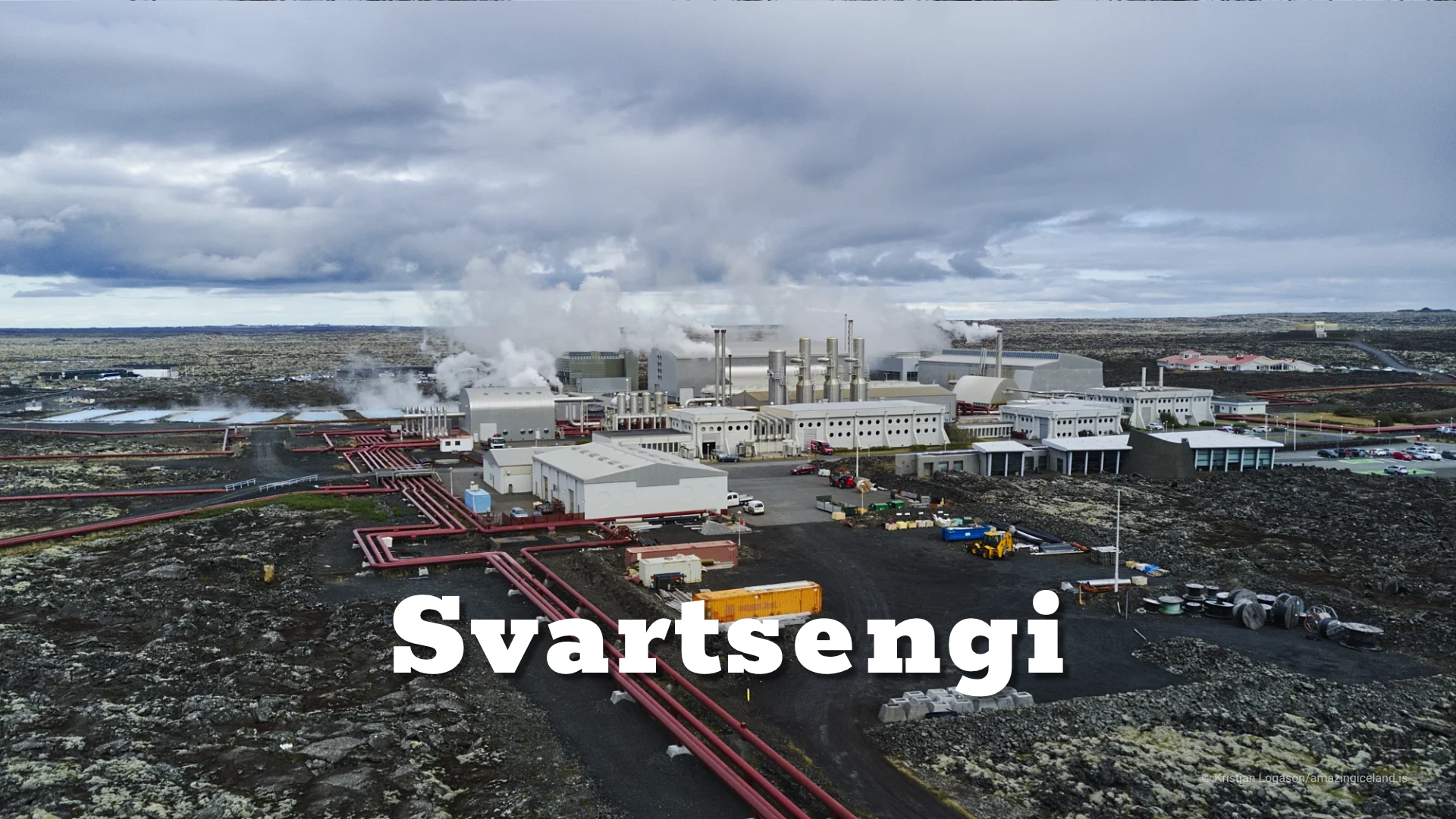
Several other destinations lie within a short distance. Gunnuhver is nearby, with steam from the geothermal area often visible from around the lighthouse, while Valahnúkur closer to the coast is the site of the original lighthouse.
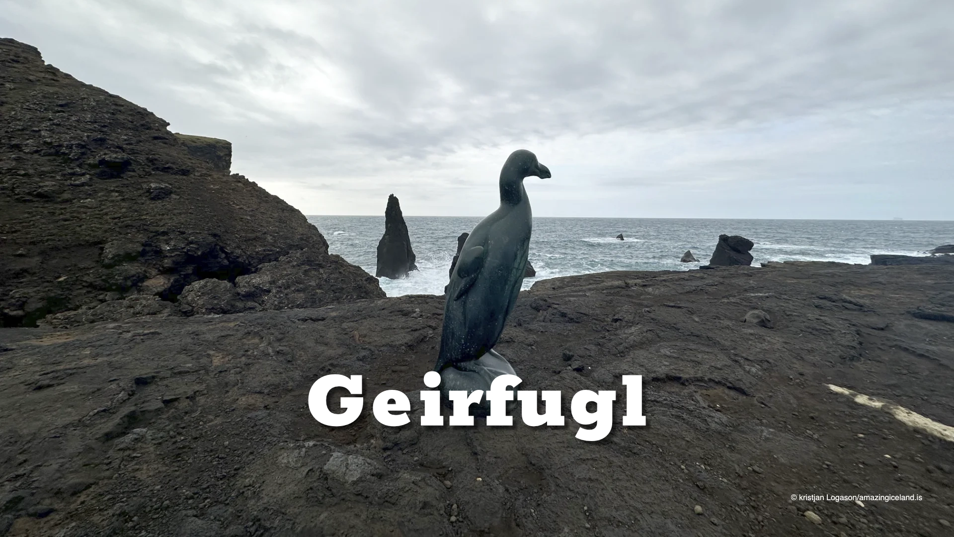
The Great Auk Memorial and Volcano Man are also part of the wider Reykjanestá area. Together, these places make Reykjanesviti work best as part of a longer visit rather than as an isolated roadside stop.
A lighthouse in an active landscape
Reykjanesviti stands within one of Iceland’s most geologically active regions. The Reykjanes Peninsula forms part of a broad rifting zone associated with the Mid-Atlantic Ridge, where the North American and Eurasian tectonic plates are gradually moving apart.
That tectonic setting has produced the volcanic fissures, geothermal systems and young lava fields that dominate the peninsula. At Reykjanesviti, however, one of the most visible geological processes is simpler and more immediate: erosion.
The relocation of the lighthouse from Valahnúkur is a direct example of how quickly the coastline can change when relatively soft volcanic formations are exposed to strong Atlantic surf.
Reykjanesviti therefore tells two stories at the same time. One is about Iceland’s maritime history and the development of navigation around a difficult coast. The other is about a landscape that is continuously being shaped by volcanic activity, earthquakes, weather and the sea.
Interesting facts:
- Iceland’s first lighthouse was built at Reykjanes in 1878.
- The original lighthouse stood on Valahnúkur.
- Earthquakes and coastal erosion eventually made the original site unsafe.
- The present lighthouse was built in 1907–1908 farther inland.
- The original lighthouse was deliberately demolished on 16 April 1908.
- Remains of the first lighthouse can still be found below Valahnúkur.
- The present Reykjanesviti is about 26.7 metres high.
- Its light is approximately 69 metres above sea level.
- The lighthouse remains an active aid to navigation.
- Reykjanesviti became a protected historic structure in 2003.
Image Gallery


Photography tips:
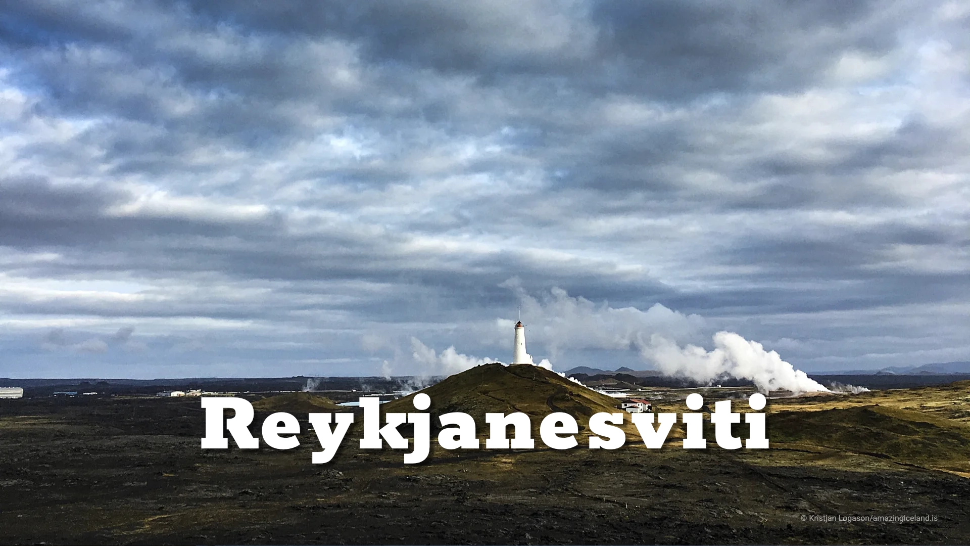
- Photograph Reykjanesviti as part of the wider Reykjanes landscape rather than only as an isolated white tower.
- Use the contrast between the lighthouse, dark volcanic ground and changing skies to create structure in the composition.
- Steam from nearby Gunnuhver can sometimes be included in wider views, visually connecting the lighthouse with the geothermal landscape around it.
- Low-angle light works well on the surrounding ground because it reveals texture that disappears under flat midday conditions.
- Heavy cloud and rough weather often suit the subject, reinforcing the exposed character of the site.
- Include Valahnúkur in a wider photographic sequence. The eroding coast helps explain why the original lighthouse had to be abandoned and rebuilt farther inland.
- Longer focal lengths can compress the relationship between the lighthouse and geothermal steam, while wider lenses are more useful for showing its position within the surrounding landscape.
Destinations nearby