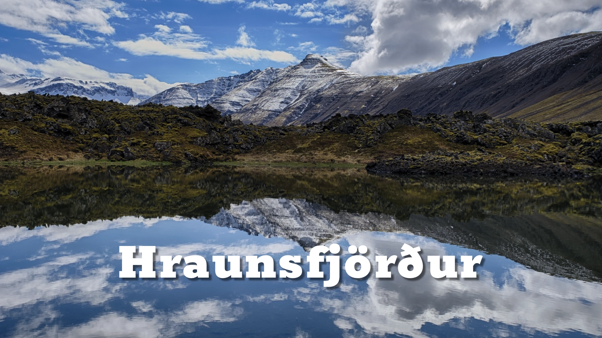
Hraunsfjörður on Snæfellsnes peninsula
Hraunsfjörður lies on the northern side of the Snæfellsnes Peninsula. Its name means **Lava Fjord**, and here the name is unusually literal.
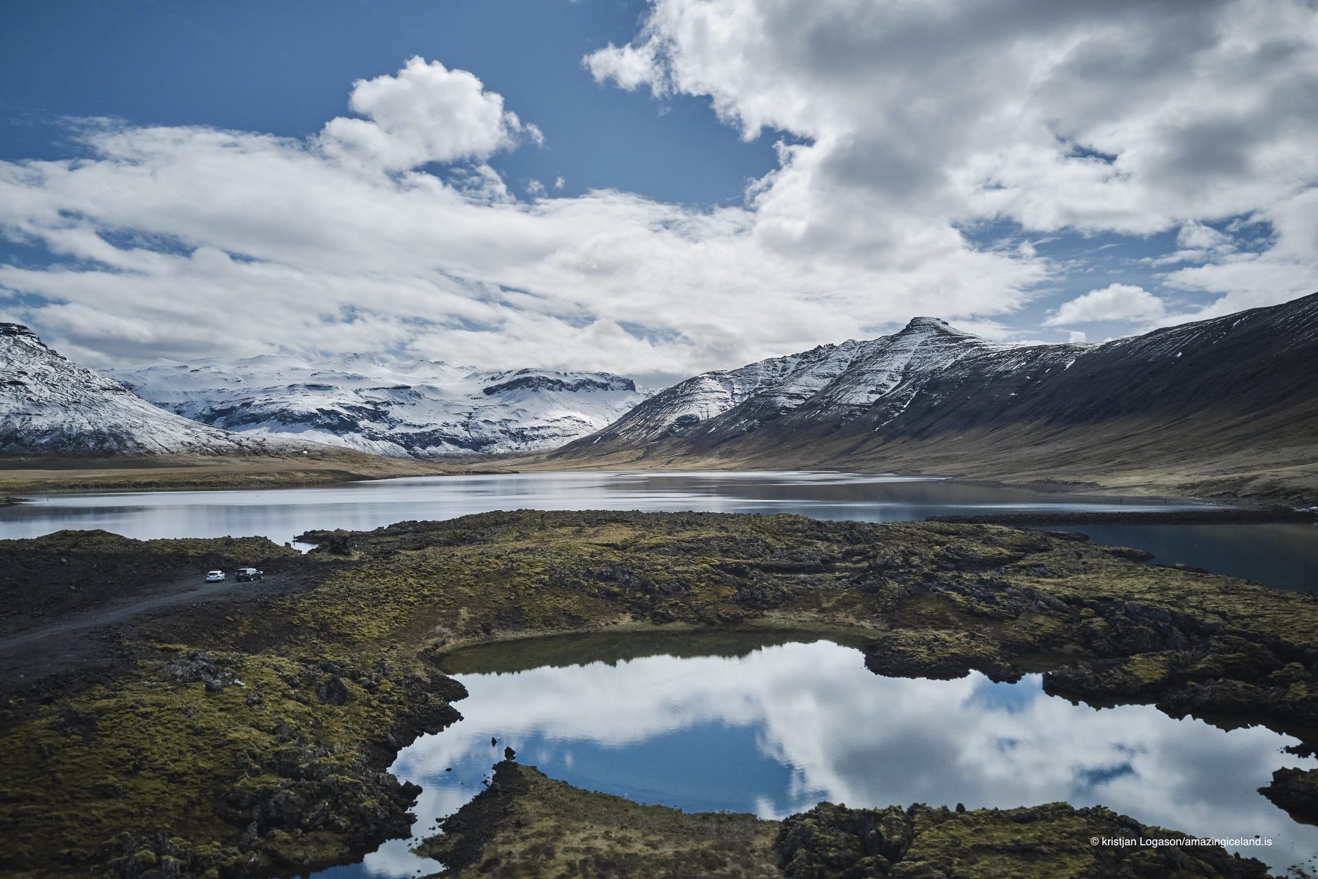
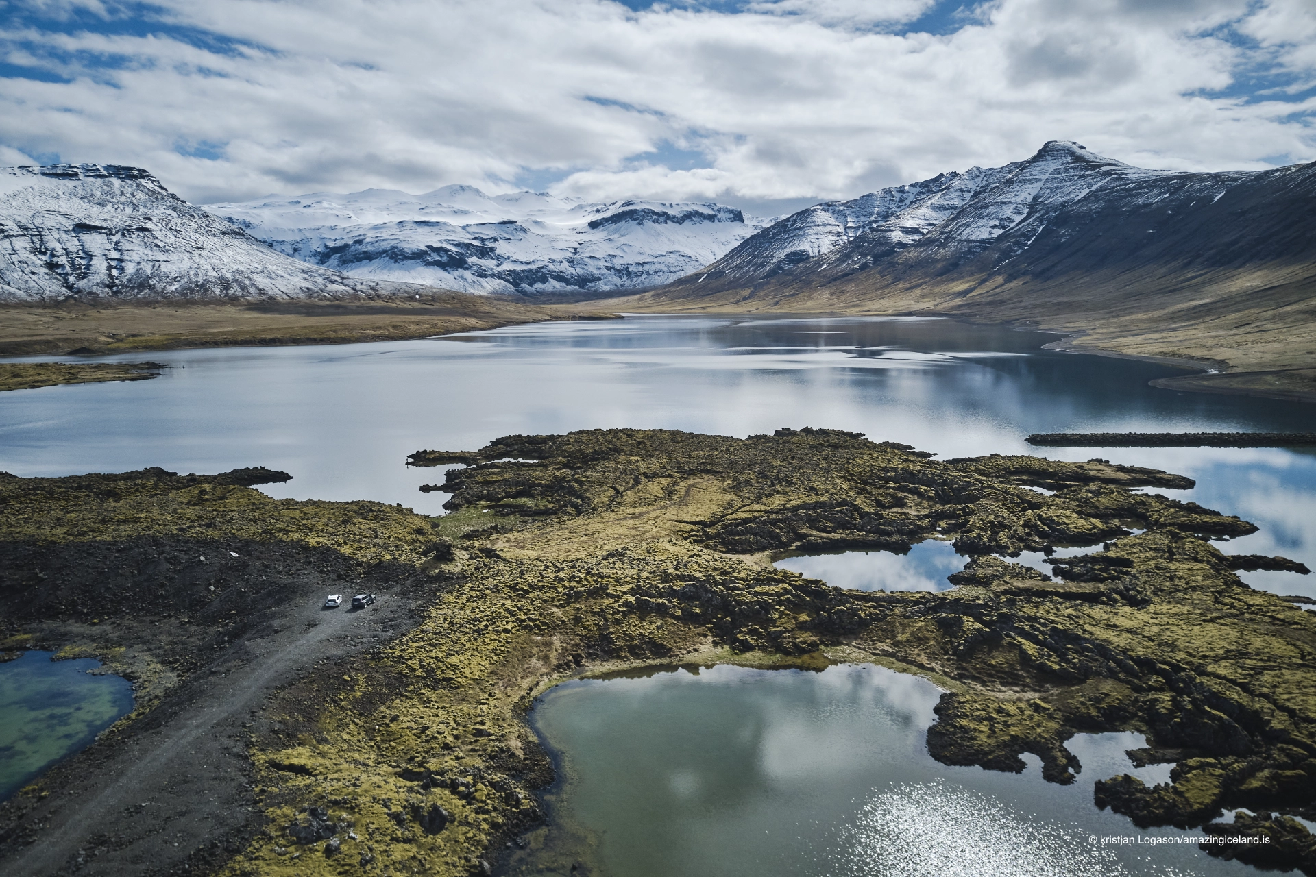
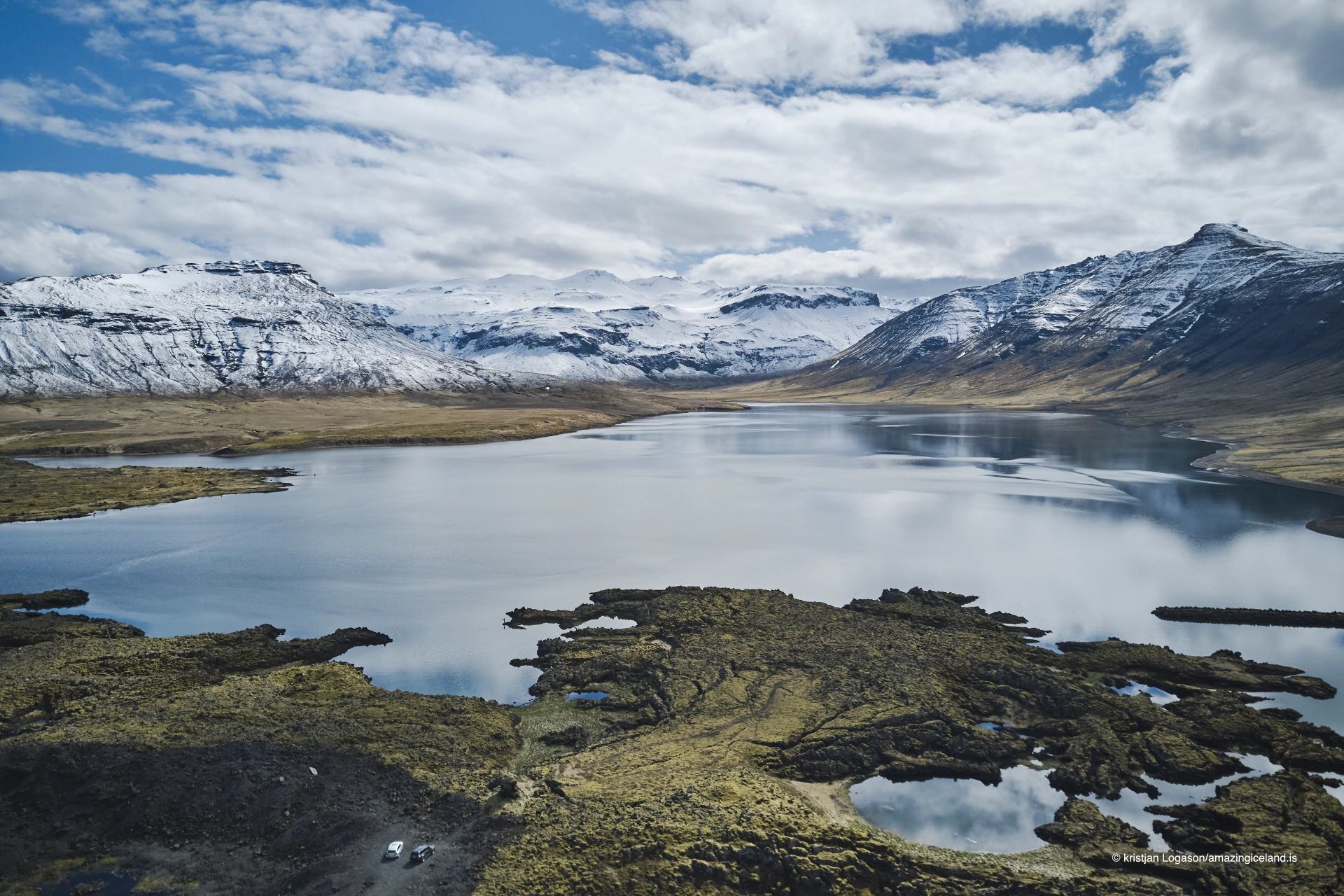
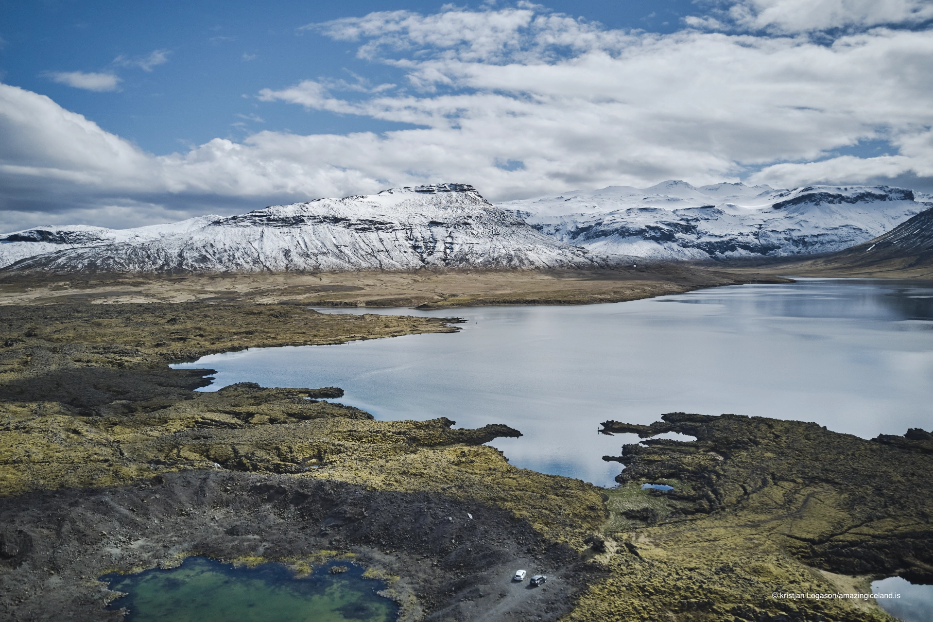
About **4,000 years ago**, **Berserkjahraun** flowed into the fjord from the surrounding volcanic landscape and narrowed it dramatically at **Mjósund**. The fjord is therefore best understood through the relationship between lava and water.
The same dark lava that gives Berserkjahraun its character also determines the shape of Hraunsfjörður. This is not simply a fjord bordered by volcanic rock; the lava physically changed the coastline and almost divided the inner water from Breiðafjörður.
The location of Hraunsfjörður on Snæfellsnes peninsula
Latitude
64.9556
Longitude
-23.0086
Hraunsfjörður on Snæfellsnes peninsula
The Lava Fjord
Hraunsfjörður is a relatively small fjord opening towards the wider waters of Breiðafjörður. Its dominant landscape feature is Berserkjahraun, the lava field that spread across the surrounding land from four scoria craters around Bjarnarhafnarfjall approximately 4,000 years ago.
Part of that lava flow entered Hraunsfjörður. At Mjósund, it pushed so far into the water that only a narrow opening remained between the inner fjord and the sea beyond.
That constriction is central to the landscape as it exists today. It explains the shape of Hraunsfjörður more clearly than a general description of the wider volcanic systems of Snæfellsnes.
This is not a fjord that merely happens to sit beside a lava field. Berserkjahraun became part of the fjord itself, redirecting the shoreline and changing the movement of water through it.
Mjósund and the inner fjord
The narrow passage at Mjósund was later altered further by human intervention. A dam or road embankment crosses the constricted point and restricts the normal movement of the tide into the inner part of Hraunsfjörður and Árnabotnar.
As a result, the inner water behaves partly like a lagoon. The difference can often be seen in the calmer character of the water inside the crossing compared with the more open fjord beyond it.
Hraunsfjörður is therefore a useful example of two very different forces shaping the same landscape. First came the lava, narrowing the fjord naturally. Later came the road crossing, further changing how seawater could move through the remaining opening.
The modern shape of the fjord is the result of both processes rather than of geology alone.

Fish and the inner water
The altered inner fjord still supports fish. Arctic char, sea trout and salmon are all found within the Hraunsfjörður system, including fish moving between freshwater and the sea.
That biological connection has survived despite the restricted tidal exchange at Mjósund. The inner fjord therefore remains part of a larger aquatic system rather than functioning as completely isolated water.
Fishing forms part of the present character of Hraunsfjörður, but it also reflects a much older pattern of people using sheltered water and the narrow areas of workable land around the fjord.
There is little reason to describe Hraunsfjörður as untouched wilderness. Like many Icelandic coastal landscapes, it has been shaped by geology, water and long human use together.
Árnabotn and the old farms
At the inner end of Hraunsfjörður lies Árnabotn. Several farms once stood in this area, and remains of abandoned farmsteads can still be found in the surrounding landscape.
The setting helps explain both why people settled here and why farming could be difficult. The fjord provided sheltered water and access to coastal resources, but the surrounding lava restricted grazing land and the amount of usable soil.
Small farms therefore had to fit into the patches where vegetation and soil had developed between lava ridges. The landscape offered opportunities, but only within very narrow limits.
Today the abandoned farms add another layer to Hraunsfjörður. The fjord feels quiet now, but it was once a lived and worked landscape rather than an empty stretch of water beside Route 54.
Stopping along Route 54
Route 54 follows Hraunsfjörður closely enough to provide repeated views of the water, lava and surrounding mountains. There is no single official viewpoint that defines the destination.
Several places along the road can be used for a short stop where road conditions and traffic allow. The fjord is therefore better experienced gradually, with its shape becoming clearer as you move along the shoreline.
In places it is also possible to walk from the road towards the water, but the shortest line across the lava should not automatically be treated as a path. Fragile moss and vegetation can be easily damaged.
Hraunsfjörður works best as a place to stop, look and understand the relationship between lava and water rather than as a developed attraction with a fixed route or single focal point.
Interesting facts:
-
- Hraunsfjörður means “Lava Fjord.”
- The fjord was dramatically reshaped by Berserkjahraun about 4,000 years ago.
- The lava almost closed the fjord at Mjósund.
- A later dam or road embankment further reduced normal tidal movement into the inner fjord.
- The inner part of Hraunsfjörður now behaves partly like a lagoon.
- Arctic char, sea trout and salmon are found in the fjord system.
- Árnabotn lies at the inner end of the fjord.
- Several abandoned farm sites remain in the surrounding landscape.
- Route 54 follows the fjord closely and provides several opportunities to stop for views.
Image Gallery
Photography tips:
-
- Make the relationship between lava and water the main subject. The strongest images show Berserkjahraun physically entering and constricting the fjord.
- Mjósund is particularly useful because the narrowing of the fjord is easiest to understand there.
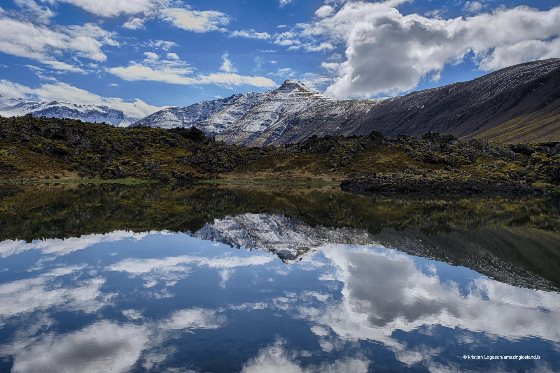
- In calm weather, use reflections in the inner water to emphasise the dark lava ridges and surrounding mountains.
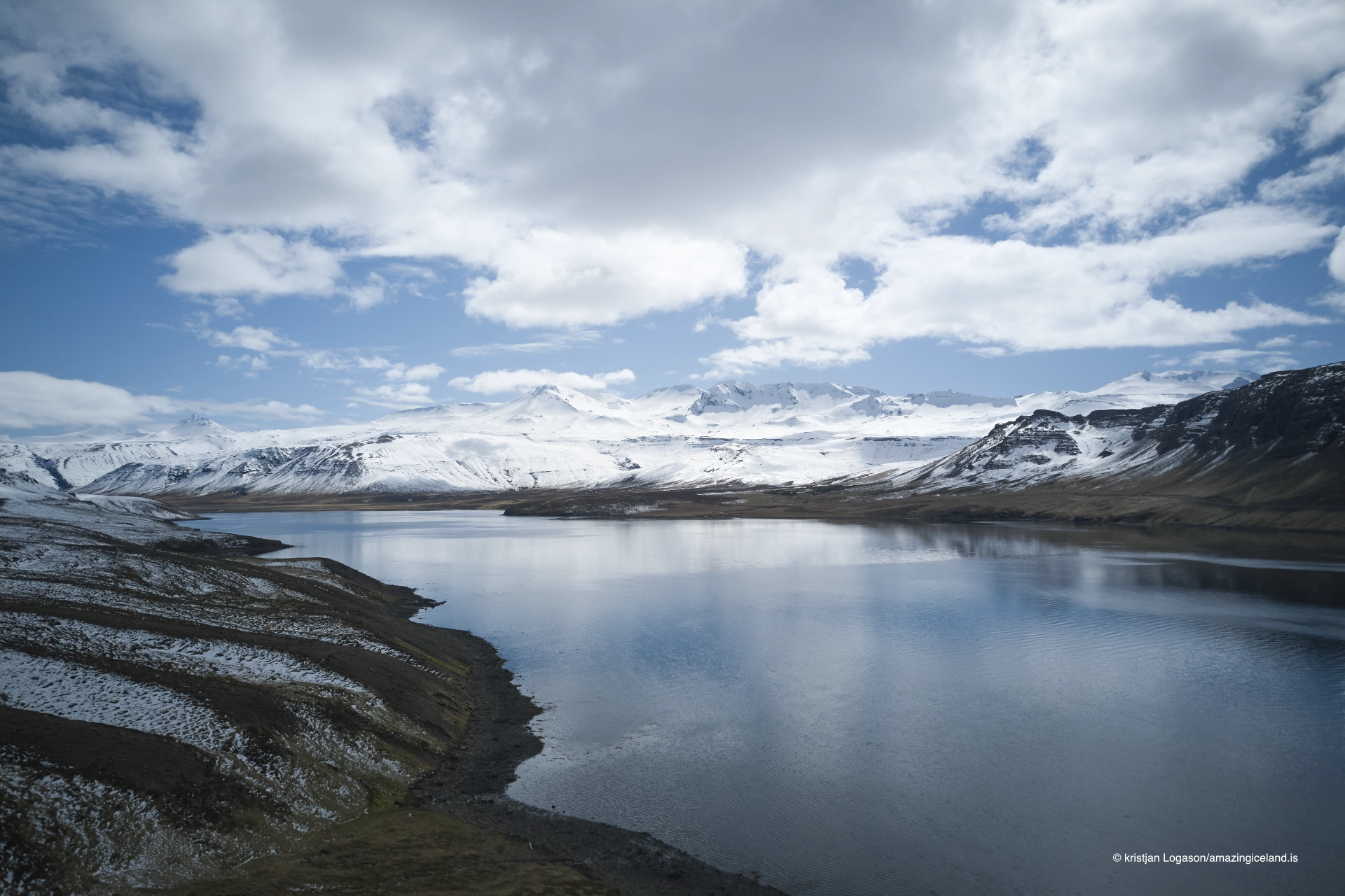
- Wide compositions work well when they show how enclosed the fjord becomes between lava and higher ground.
- Mist and low cloud can simplify the landscape and make the dark lava more dominant.
- Longer focal lengths can compress the relationship between shoreline, lava and mountains, while wider lenses help explain the full shape of the fjord.
- Smaller studies of lava, water and vegetation can work well, but avoid walking across fragile moss simply to improve a composition.
- Roadside viewpoints vary considerably, so it is worth looking for safe stopping places where the shape of the fjord becomes visually clear rather than stopping at the first available pull-off.
Destinations nearby