Búðardalur
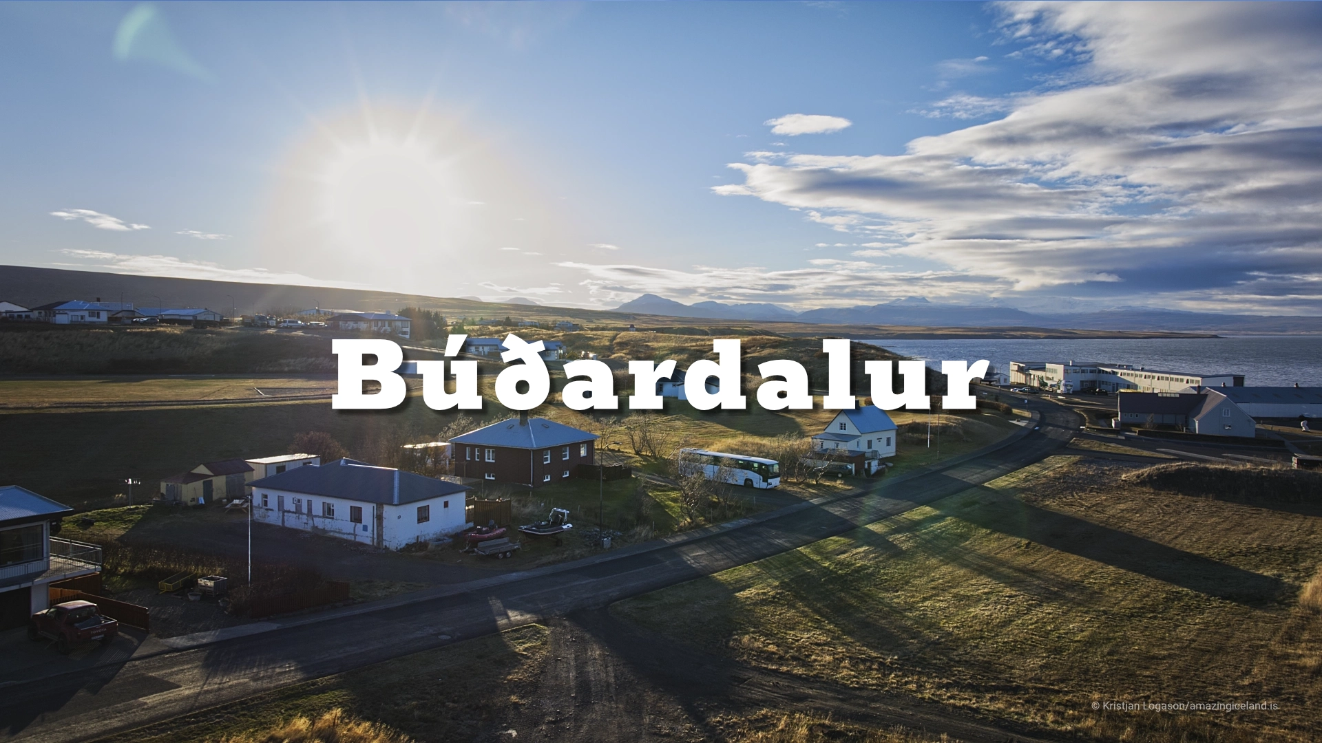
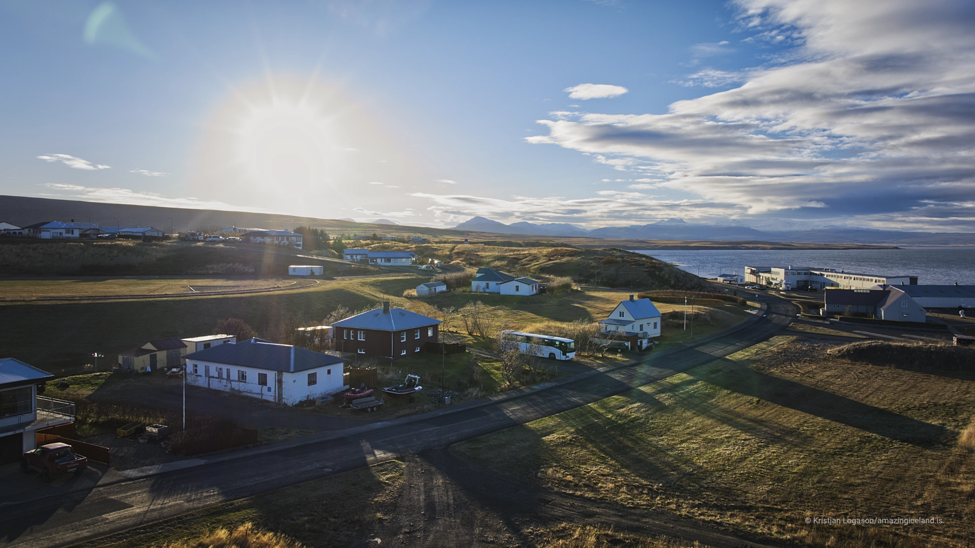
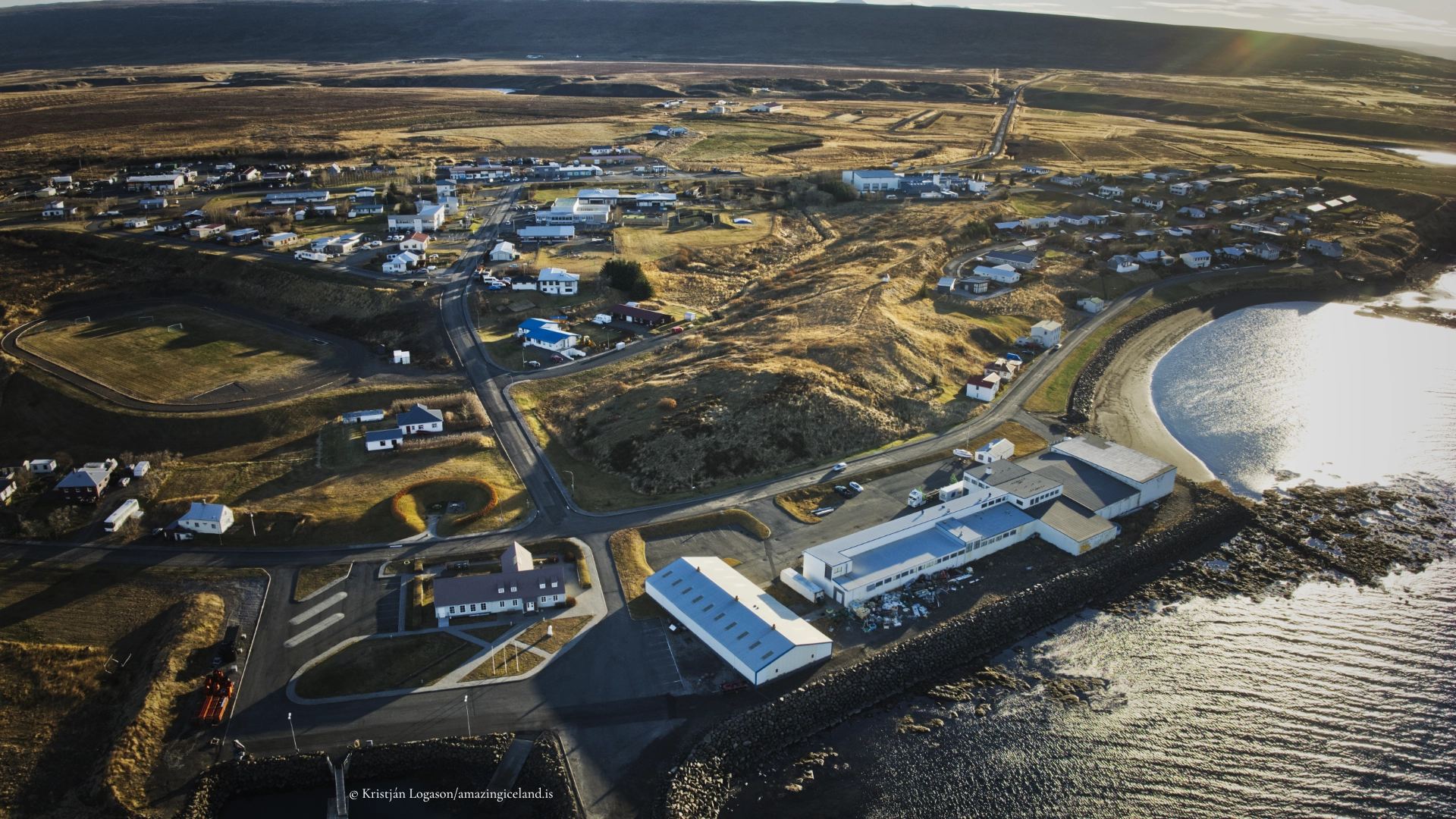
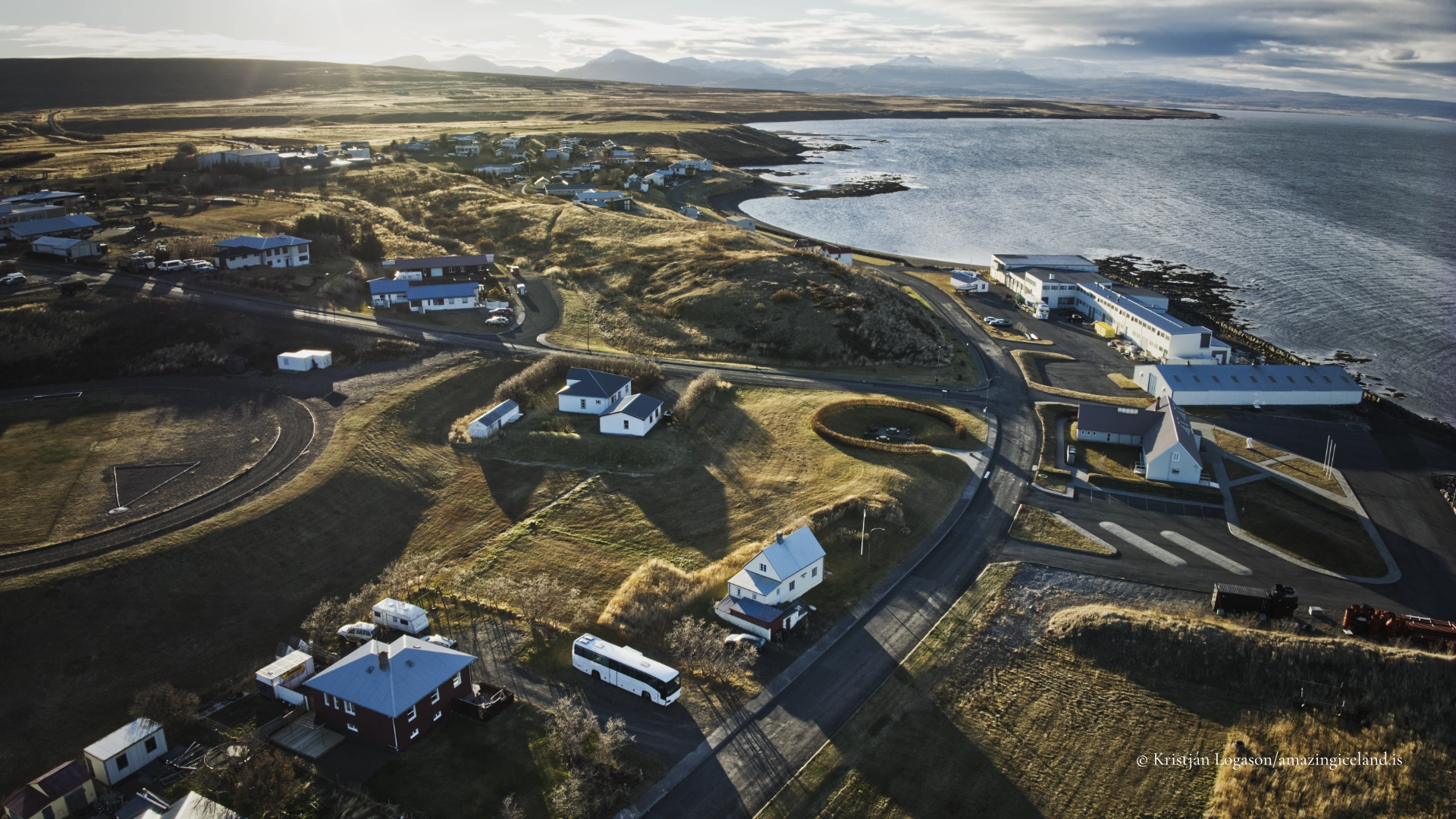
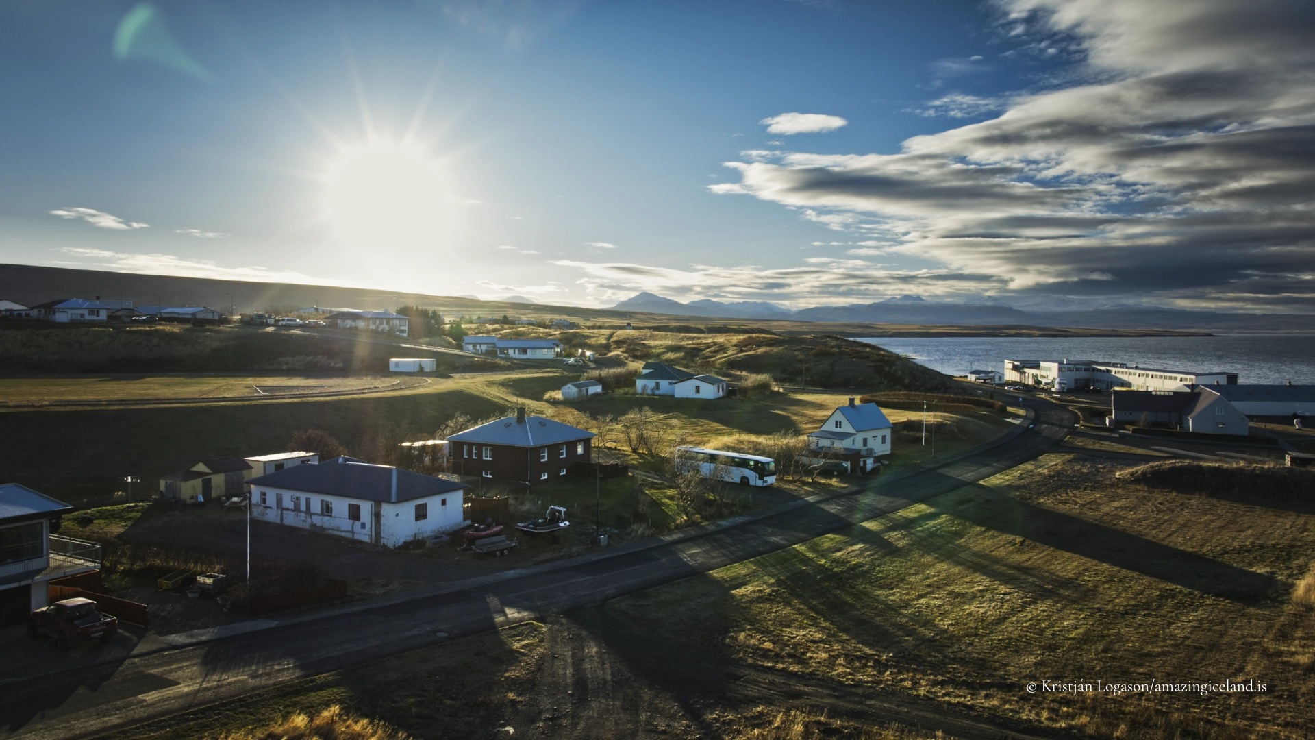
Búðardalur is the main settlement and service centre of Dalir in West Iceland, standing beside Hvammsfjörður on Route 60. The town is often approached as a place to refuel and obtain supplies before continuing north, but its own history reaches from the booths described in *Laxdæla saga* to the trading settlement established in 1899 and the present dairy and service town. Vínlandssetrið, the small harbour and a shoreline shaped by the great tides of Breiðafjörður bring these different periods together. About two hours allows time to understand the town rather than pass through it.
The location of Búðardalur
Latitude
65.1086
Longitude
-21.7669
Búðardalur
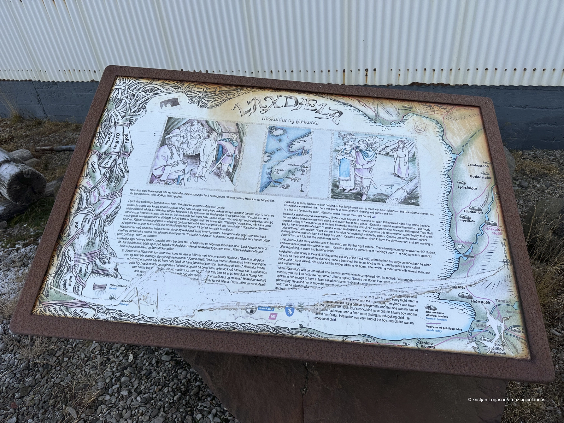
The name Búðardalur appears in Laxdæla saga through the story of Höskuldur Dala-Kollsson. According to the saga, Höskuldur brought his ship into Laxárós, unloaded it and established temporary booths nearby. The valley subsequently became known as Búðardalur, the valley of the booths.
This gives the town a direct place within the saga landscape rather than merely a convenient position from which to visit it. Dalir contains many of the farms and locations associated with Laxdæla saga, as well as Eiríksstaðir, where Eiríkur rauði lived before the settlement of Greenland. Those places deserve their own destination pages, but Búðardalur is the practical point from which the wider district begins to make sense.
From trading place to service town
The modern settlement began in 1899, when the merchant Bogi Sigurðsson built a trading and residential house at Búðardalur. Trade connected the farms of Dalir with coastal transport and gradually established the settlement as the district’s commercial centre. The cooperative later became one of the town’s defining institutions, linking shops, agricultural supply and the economic life of the surrounding countryside until its bankruptcy in 1989.
Búðardalur remains the administrative and service centre of Dalir. The town has not developed around a large fishing fleet, and its harbour is still working but little used. Its modern economy continues to depend strongly on the farming district. Milk is received and processed here, and the dairy produces blue and mould-ripened cheeses along with other products. The production facility has no visitor access, but the dairy remains an important workplace and part of the town’s national identity.

Vínlandssetrið and the voyage of Íslendingur
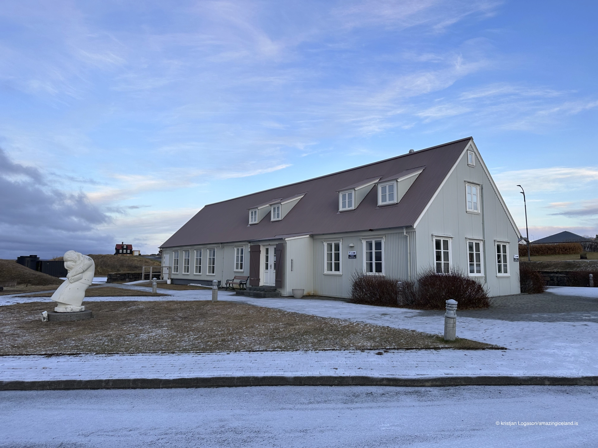
Vínlandssetrið is Búðardalur’s principal visitor attraction. Its exhibition places the Norse settlement of Greenland and the voyages to North America within the stories of Eiríkur rauði and Leifur Eiríksson. This history belongs to the wider Dalir landscape, but the centre gives it a clear point of interpretation inside the town.
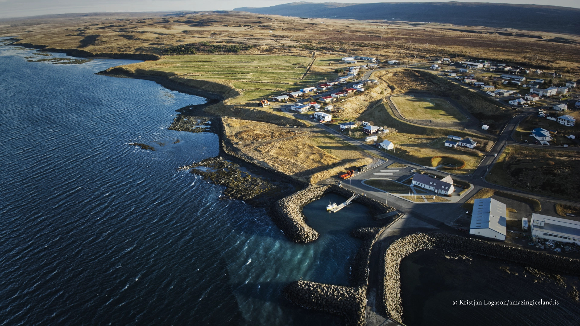
The harbour also has its own modern connection to that story. On 24 July 2000, the replica Viking ship Íslendingur departed from Búðardalur on a voyage to Greenland and North America. The journey was made a thousand years after the voyages associated with Leifur Eiríksson and turns the harbour from a quiet edge of town into part of a contemporary act of historical remembrance. Seen together, the exhibition and departure site connect saga history, maritime reconstruction and the present settlement without pretending that Búðardalur itself is an ancient town.
The shoreline and the tides of Breiðafjörður
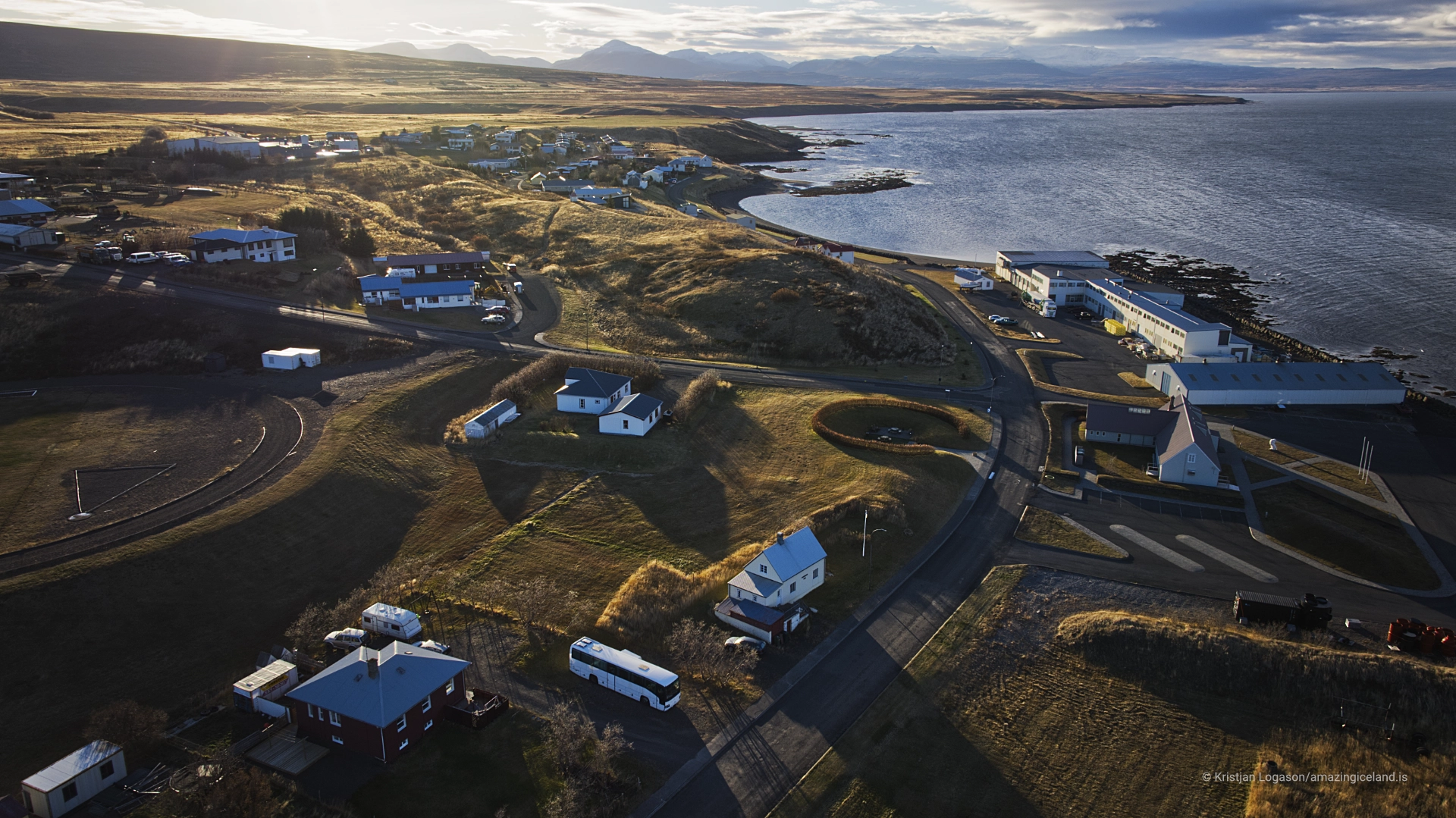
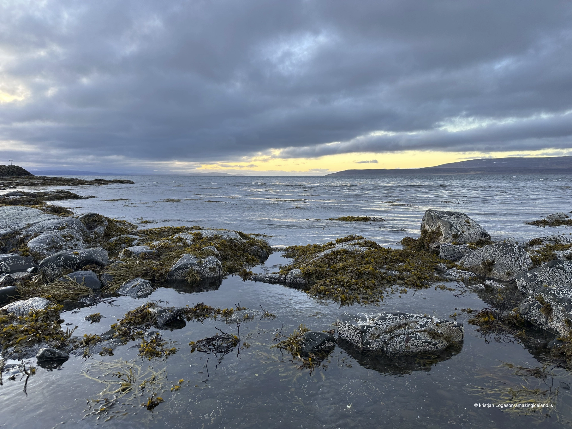
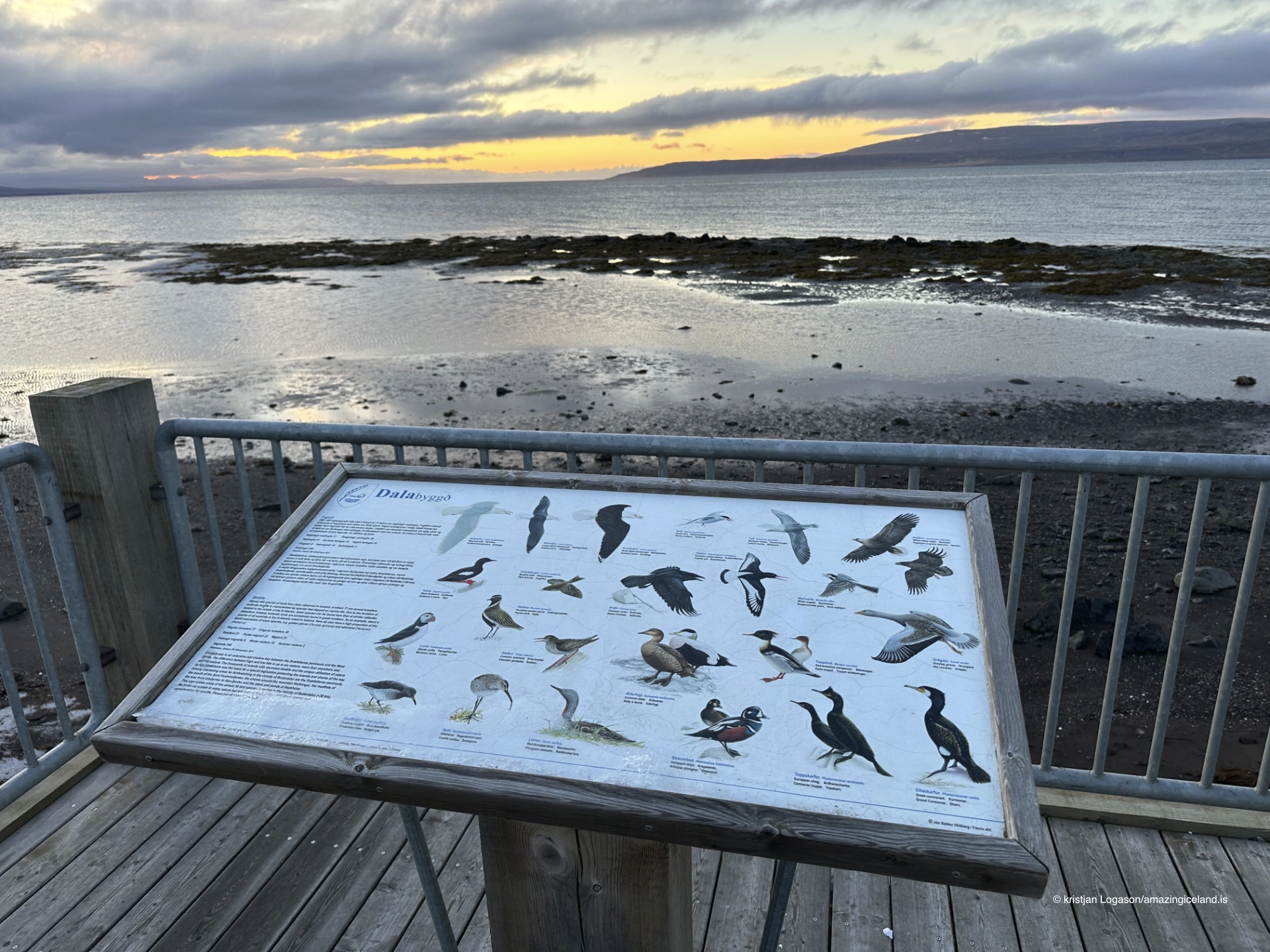
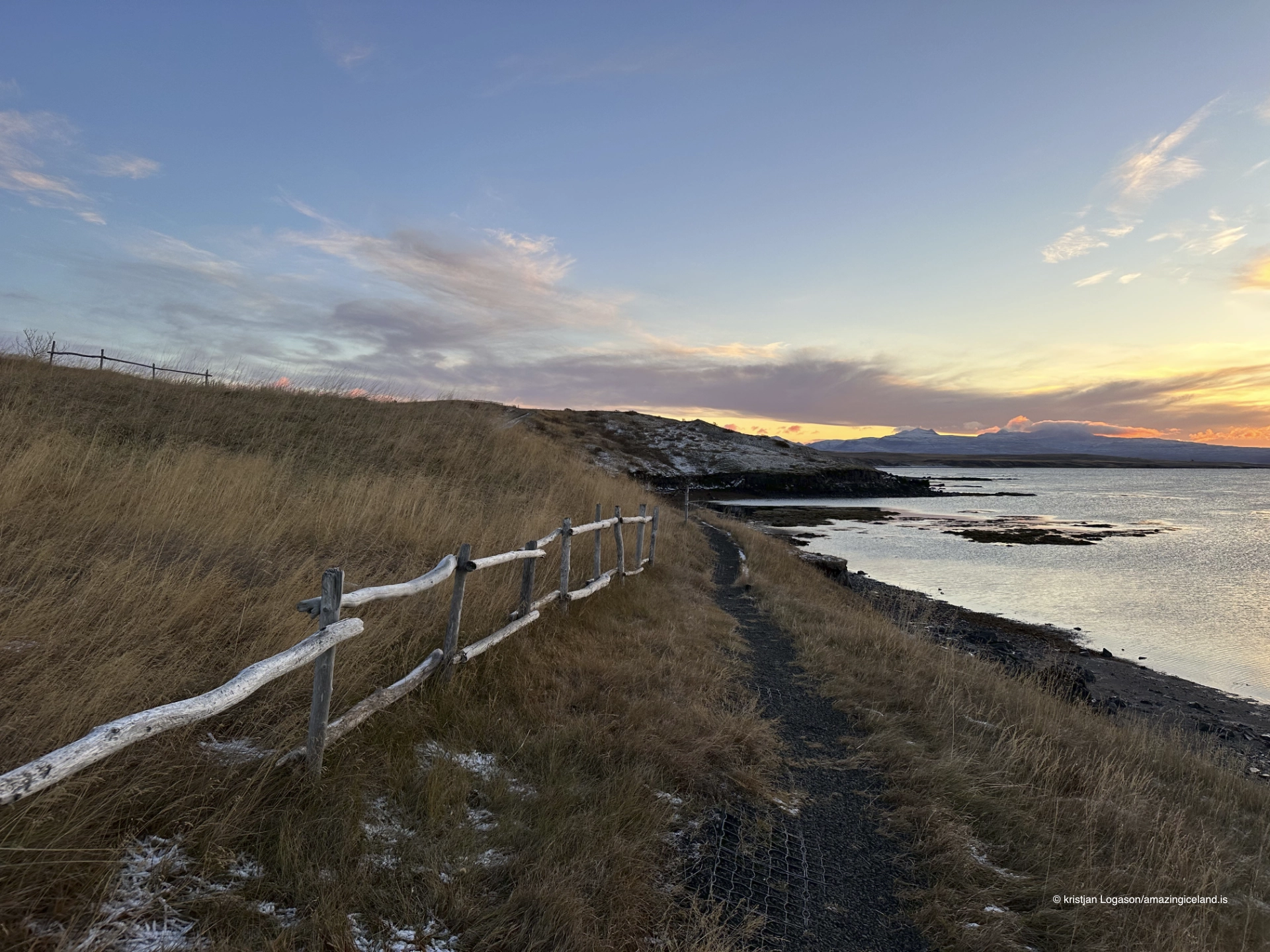
Búðardalur lies at the head of Hvammsfjörður, an inner branch of Breiðafjörður. Large tidal changes are plainly visible from the town as water withdraws across the shallow shore and returns over the exposed flats. The changing boundary between land and water is more important to the experience of Búðardalur than any claim that the fjord is simply calm or sheltered.
A walk beside the harbour and shoreline connects this tidal landscape with the older buildings. Near the viewing platform, a work by the Dalir-born conceptual artist Hreinn Friðfinnsson is placed on a rock in the foreshore below the seawall. Its setting makes the changing tide, distance and exposed coast part of the encounter with the work. The shoreline is therefore not only a view across the fjord, but the part of town where history, art and the physical character of Hvammsfjörður overlap most clearly.
A stop and a base for Dalir
Búðardalur stands directly on Route 60, the principal road through Dalir and north towards the Westfjords. It is an important place to refuel and obtain food and supplies before continuing, without making the absolute claim that services disappear beyond the town. Route 59 across Laxárdalsheiði is an alternative gravel route and should not be confused with the normal approach on Route 60.
Two hours is sufficient for Vínlandssetrið, the harbour, shoreline and older part of town. Most of the settlement can be explored easily on foot. Búðardalur functions primarily as a worthwhile stop, but it can also serve as a practical base for a longer exploration of Dalir and its saga sites. Access on Route 60 is possible throughout the year, although road and weather conditions should always be checked in winter.
Interesting facts:
-
- According to Laxdæla saga, Búðardalur takes its name from temporary booths established near Laxárós by Höskuldur Dala-Kollsson.
- The modern trading settlement began in 1899 when Bogi Sigurðsson built a trading and residential house.
- The replica Viking ship Íslendingur departed from Búðardalur harbour for Greenland and North America on 24 July 2000.
- Búðardalur remains an important centre for dairy production, although the production facility is not open to visitors.
- Large tidal changes are clearly visible along the shallow shoreline at the head of Hvammsfjörður.
Image Gallery
Photography tips:
-
- Follow the shoreline rather than looking for one defining landmark. The harbour, older buildings, exposed tidal flats and small settlement work best as connected parts of the same place.
- Dramatic weather suits Búðardalur, particularly when changing light crosses the water and separates the town from the agricultural land behind it.
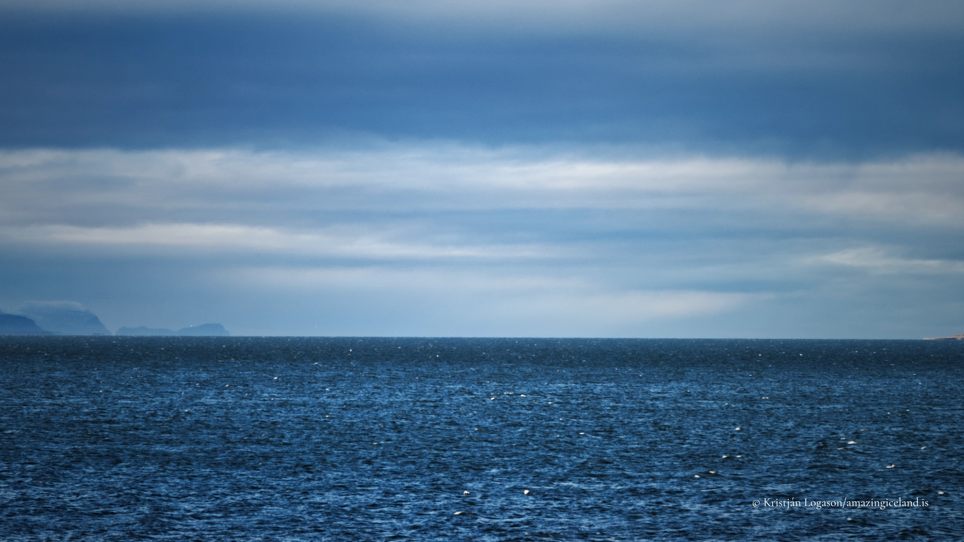
- Sunset across Breiðafjörður can provide the strongest wider view, with low light revealing the structure of the tidal shore and giving the fjord greater depth.
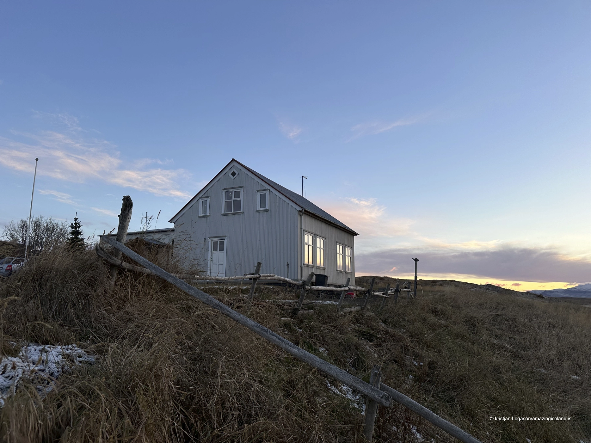
- Include the older buildings within their coastal setting. Tight architectural frames lose the relationship between the settlement, harbour and surrounding land.
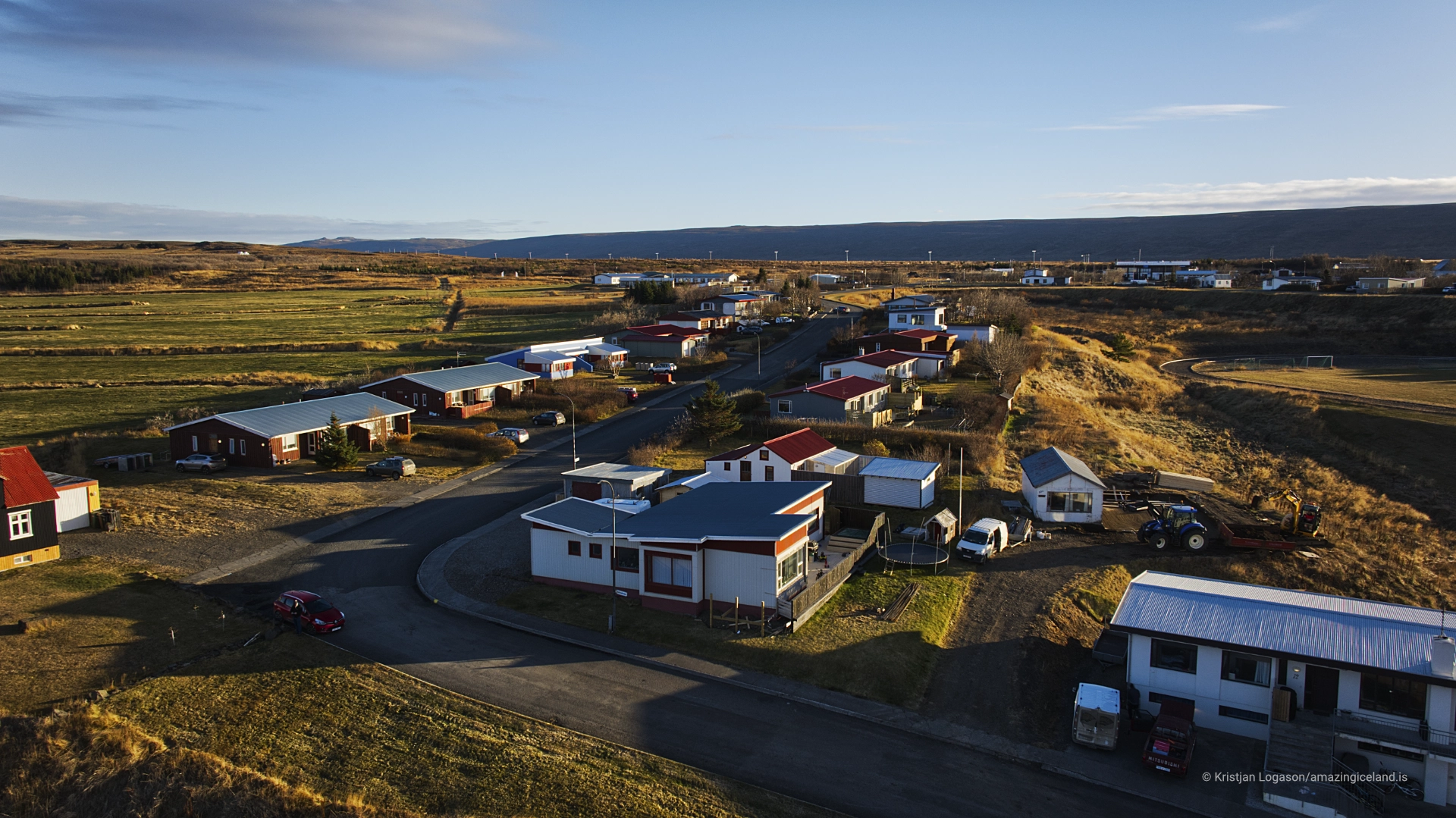
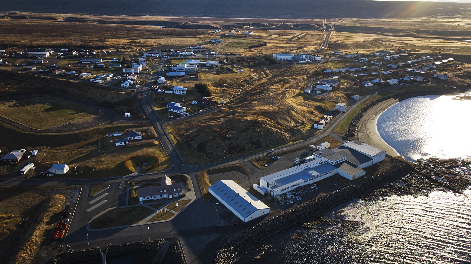
- Aerial photography is particularly effective for showing Búðardalur at the head of Hvammsfjörður, where the town, tidal flats, farmland and road can be understood together. Fly only where current rules and conditions permit.
- The shoreline artwork by Hreinn Friðfinnsson changes with the state of the tide. Photograph it as part of the foreshore rather than isolating it from the setting that gives it meaning.
Destinations nearby