Dyrhólaey Island in south iceland
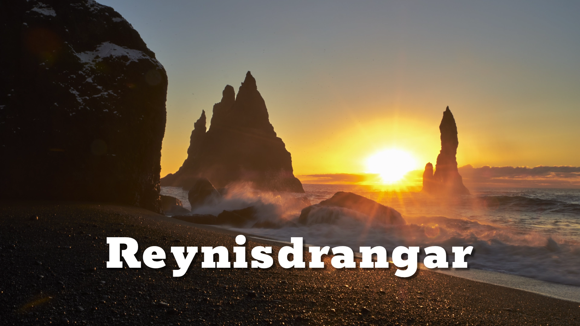
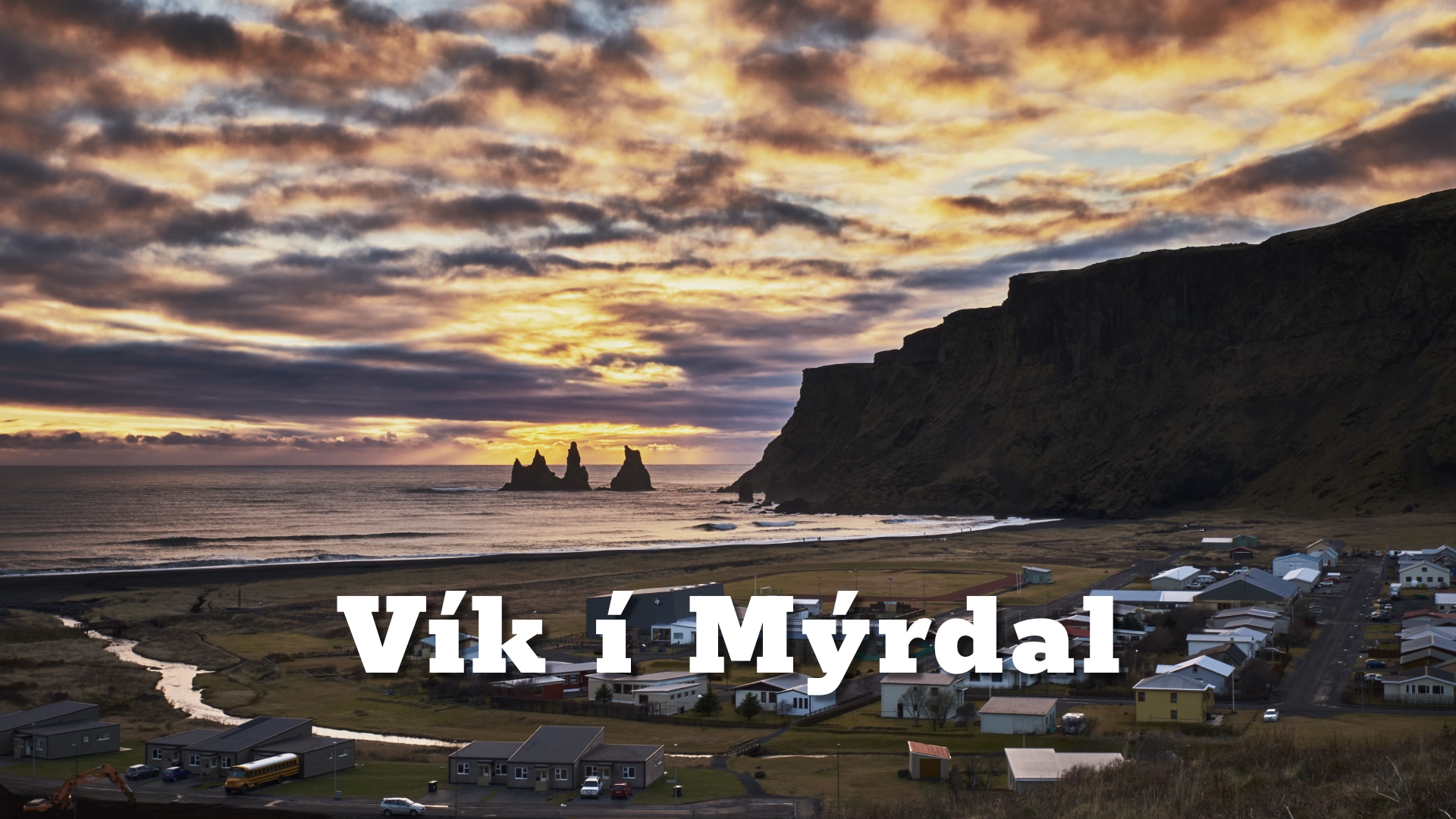
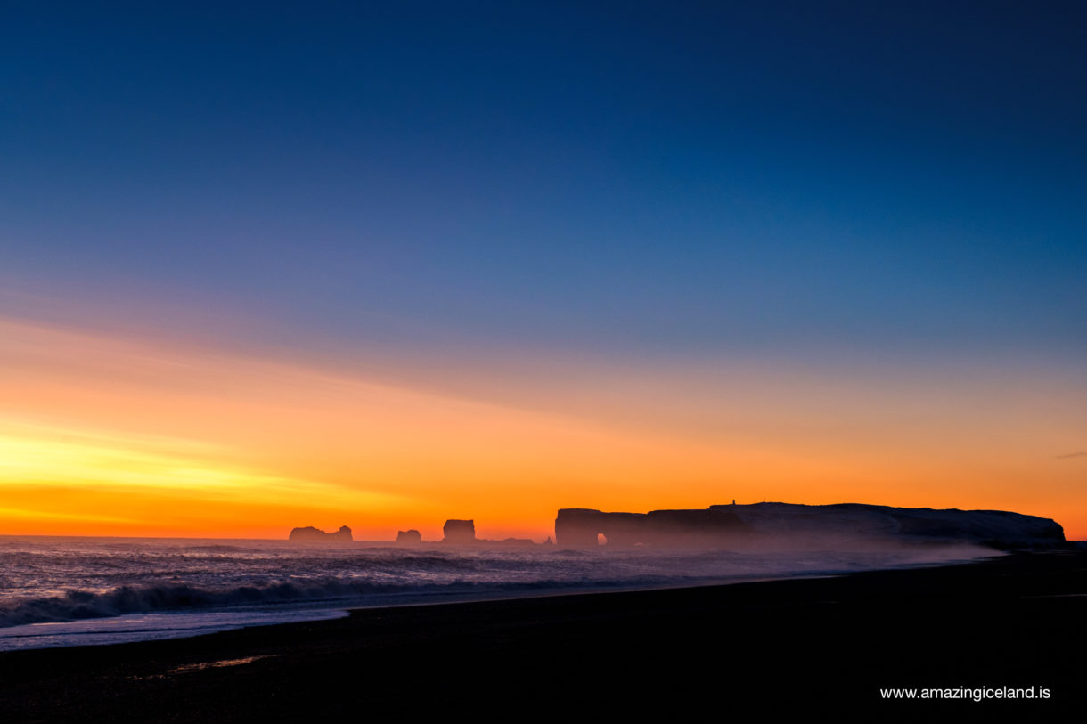
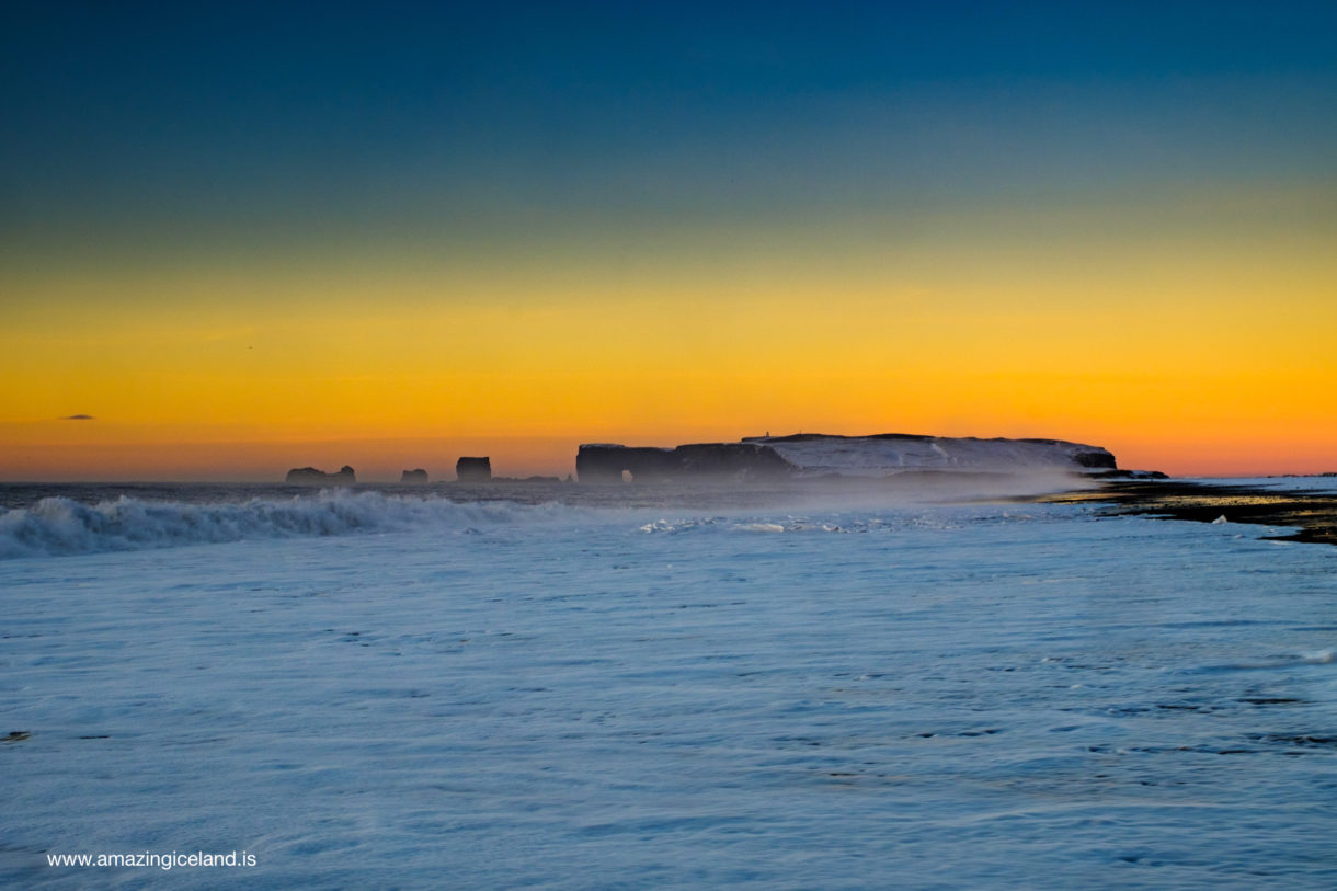
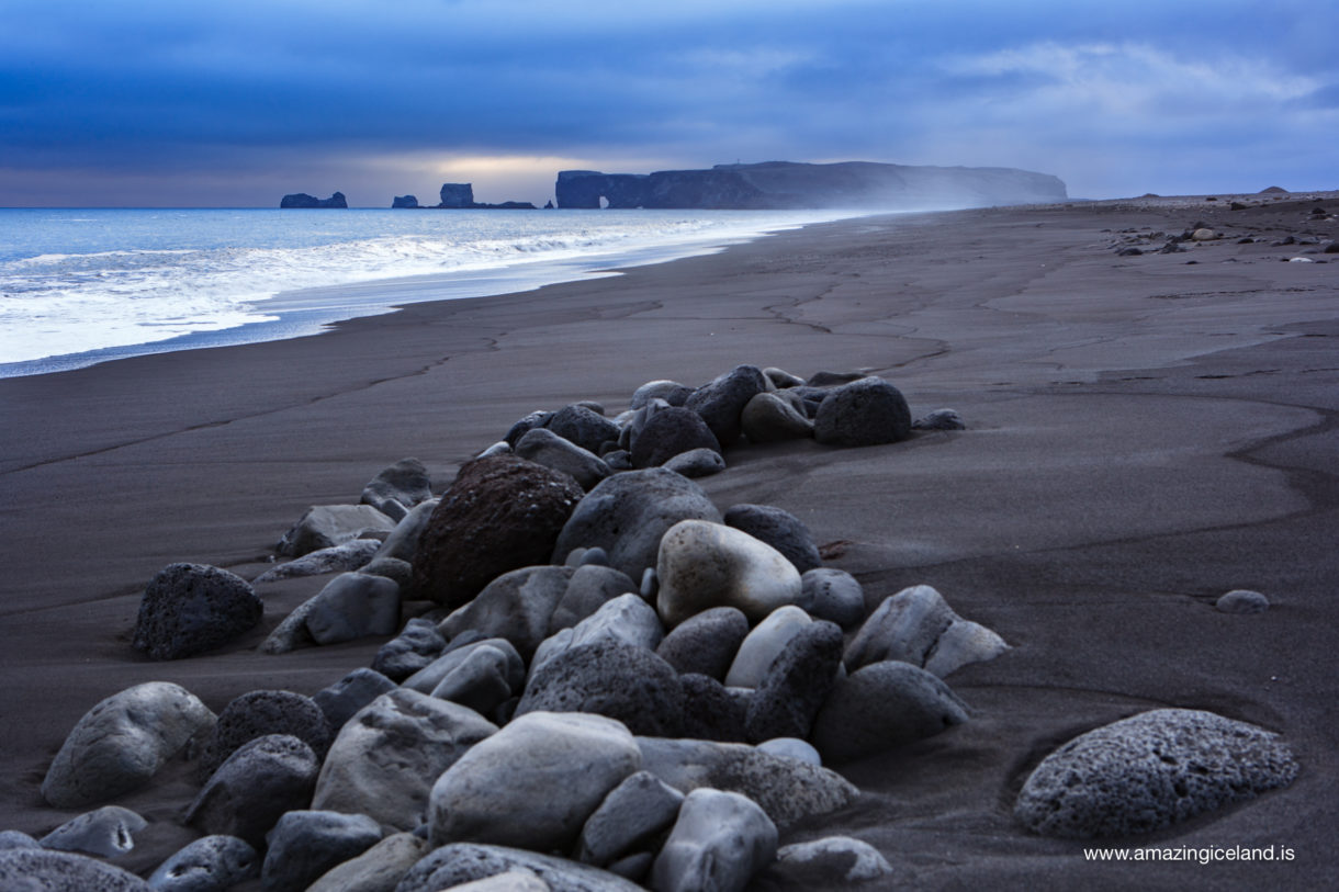
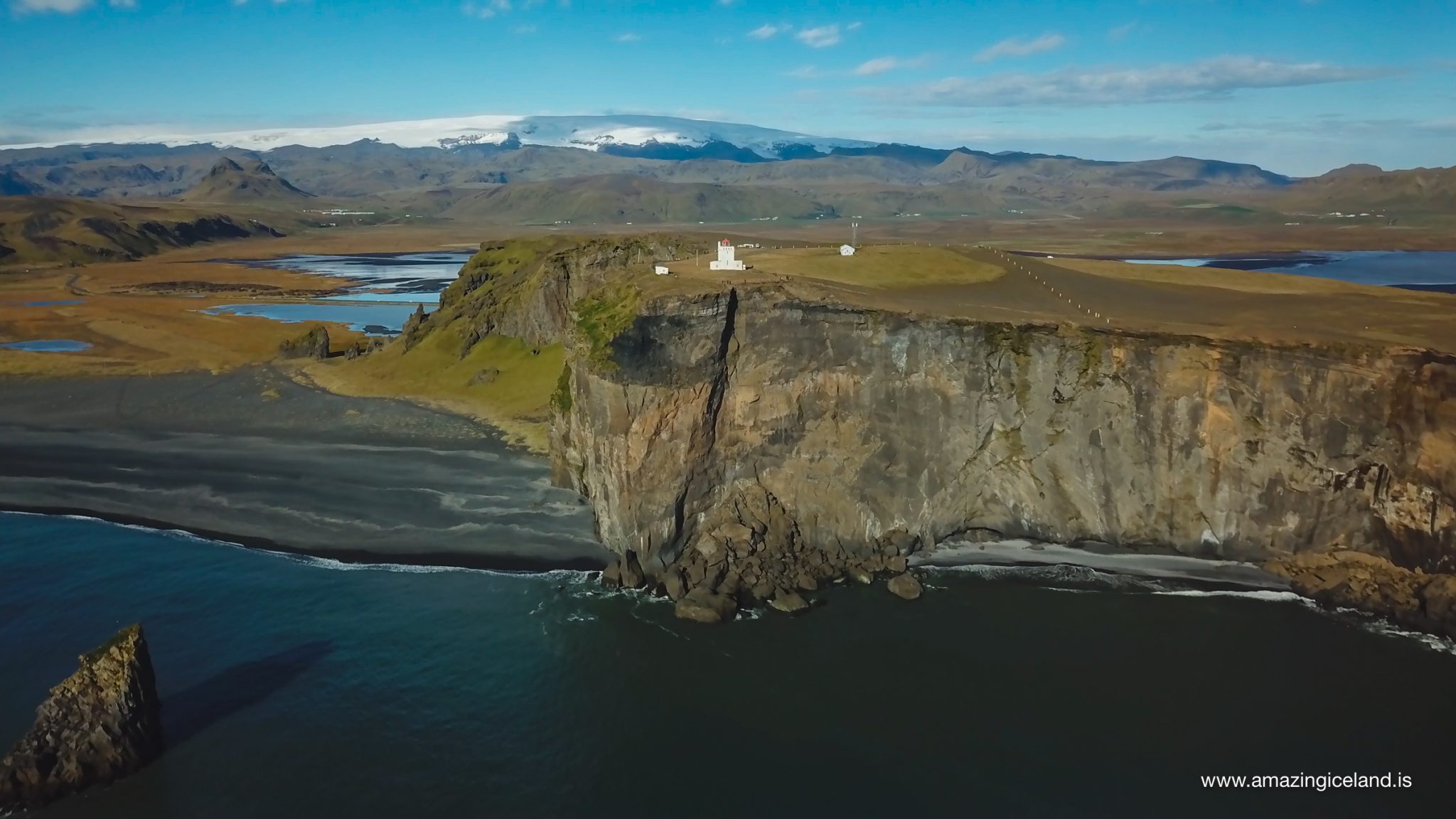
Dyrhólaey rises above the long black coastline west of Vík and forms one of the most distinctive landmarks on Iceland’s south coast. From the headland the view opens across a remarkable part of the country, towards Vestmannaeyjar and, in clear conditions, Surtsey to the south, Eyjafjallajökull to the west, Mýrdalsjökull inland and Reynisfjara, Reynisfjall and Reynisdrangar to the east.
Despite its name, Dyrhólaey is no longer an island. It is connected to the mainland and divided into two clearly different areas: **Háey**, the high western part of the headland, and **Lágey**, the lower area to the east.
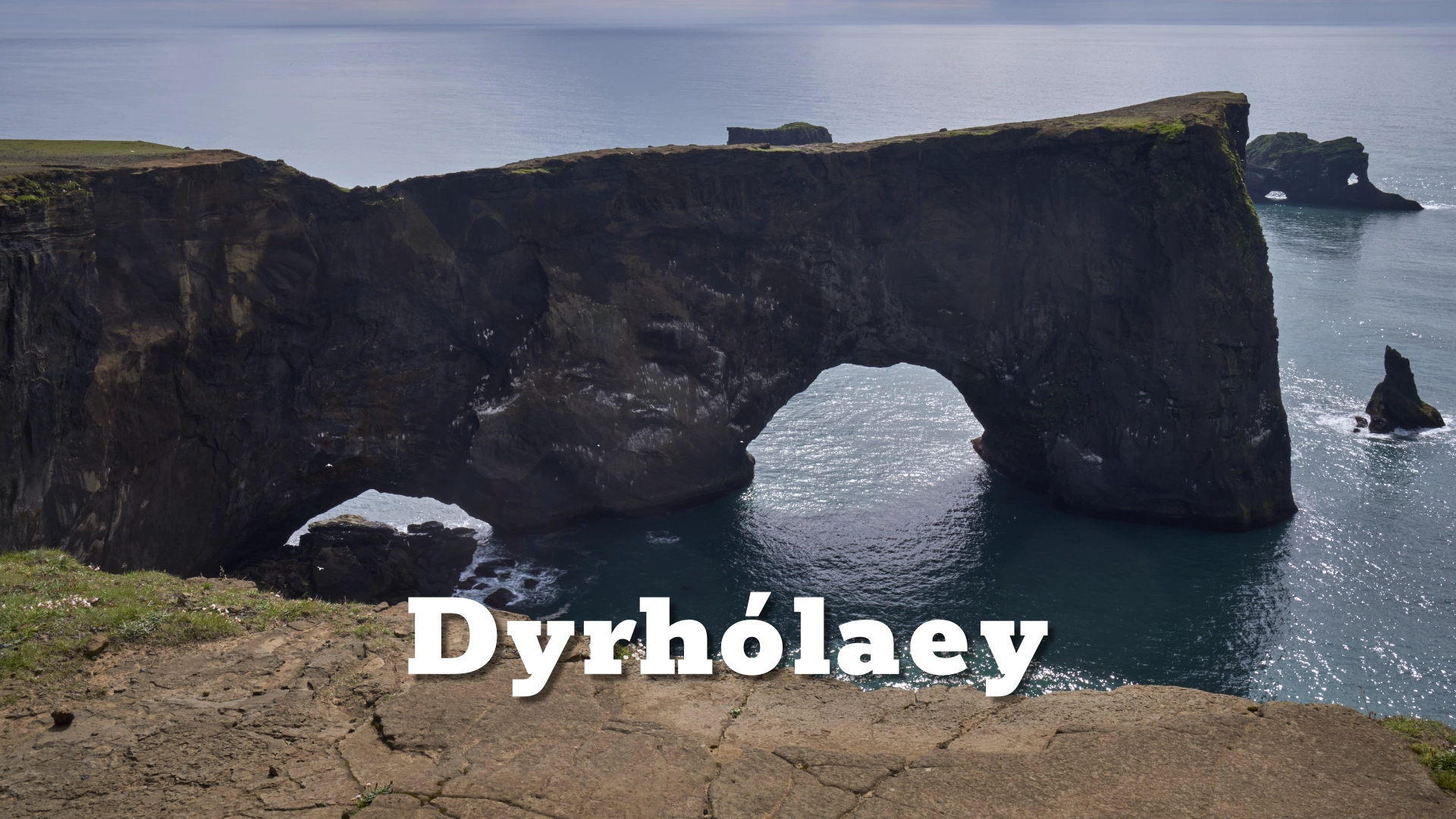
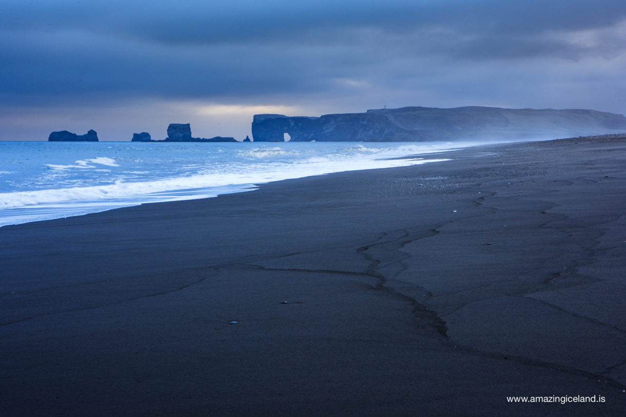
The landscape seen today is only a remnant of a considerably larger volcanic structure. Glaciers and, later, the Atlantic Ocean have steadily eroded Dyrhólaey, creating its cliffs, stacks and great natural arch. That process has not stopped, and the headland remains an actively changing coastline rather than a finished geological monument.
The location of Dyrhólaey Island in south iceland
Latitude
63.4075
Longitude
-19.1137
Dyrhólaey Island in south iceland
A volcano formed beneath the sea
Dyrhólaey was formed around 100,000 years ago during eruptions in shallow seawater. Much of Háey consists of well-bedded tuff produced when rising magma met water and fragmented violently in hydromagmatic explosions.
The geology becomes more complicated towards Lágey, where tuff is accompanied by pillow lava and basalt. These layers record changing conditions during the eruption. As the volcanic structure grew higher, seawater could no longer reach every eruptive vent, allowing lava to begin flowing in the open air before eventually entering the sea again.
This sequence makes Dyrhólaey a good example of the type of volcanic development associated with Surtseyan eruptions, where the interaction between magma and water produces a rapidly evolving volcanic island or headland.
A particularly interesting interpretation was published in 1968 by Einar Einarsson, a farmer at Skammhóll who studied the geology of Dyrhólaey. He concluded that the headland had formed during at least two separate eruptions.
One eruptive fissure lay towards Skorpunef on the eastern side, while another crossed the western part of Dyrhólaey and has since been heavily eroded. Einar believed that much of the present headland originated from the western fissure, and remnants connected with the volcanic system can still be recognised around the area.
Modern geological descriptions likewise indicate that Dyrhólaey was produced during more than one eruptive phase.
Háey, Lágey and the doorway in the island
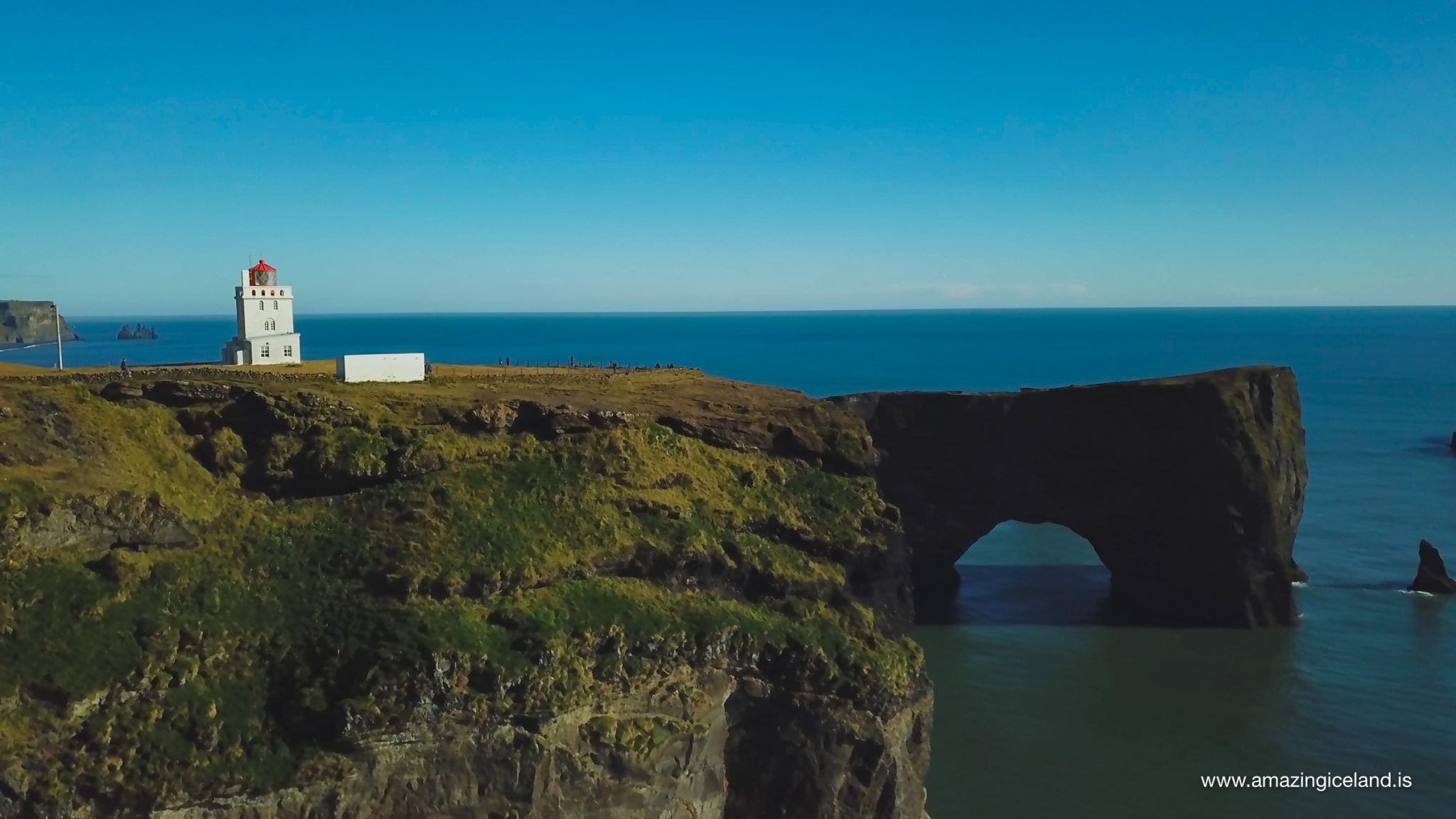
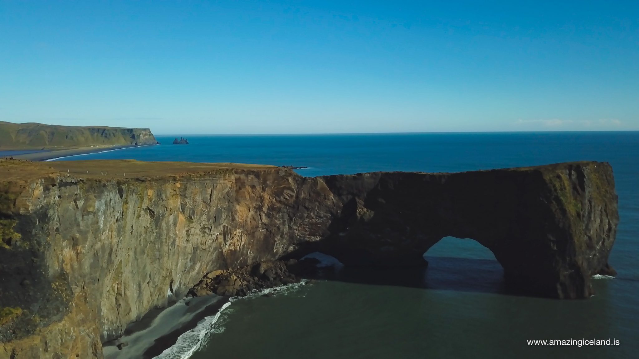
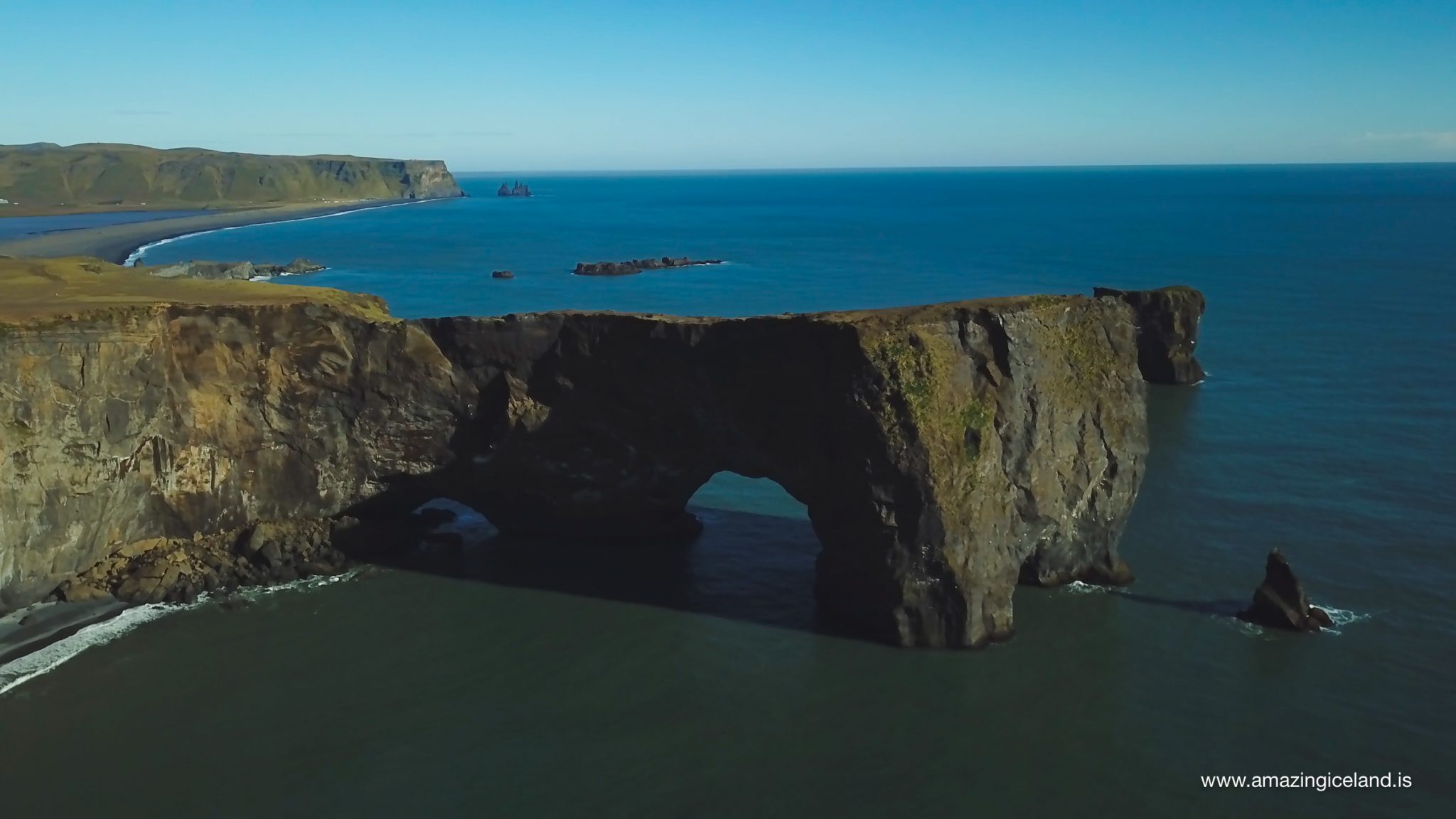
The name Dyrhólaey can loosely be understood as “the island with the doorway,” referring to the enormous opening the Atlantic has cut through the headland.
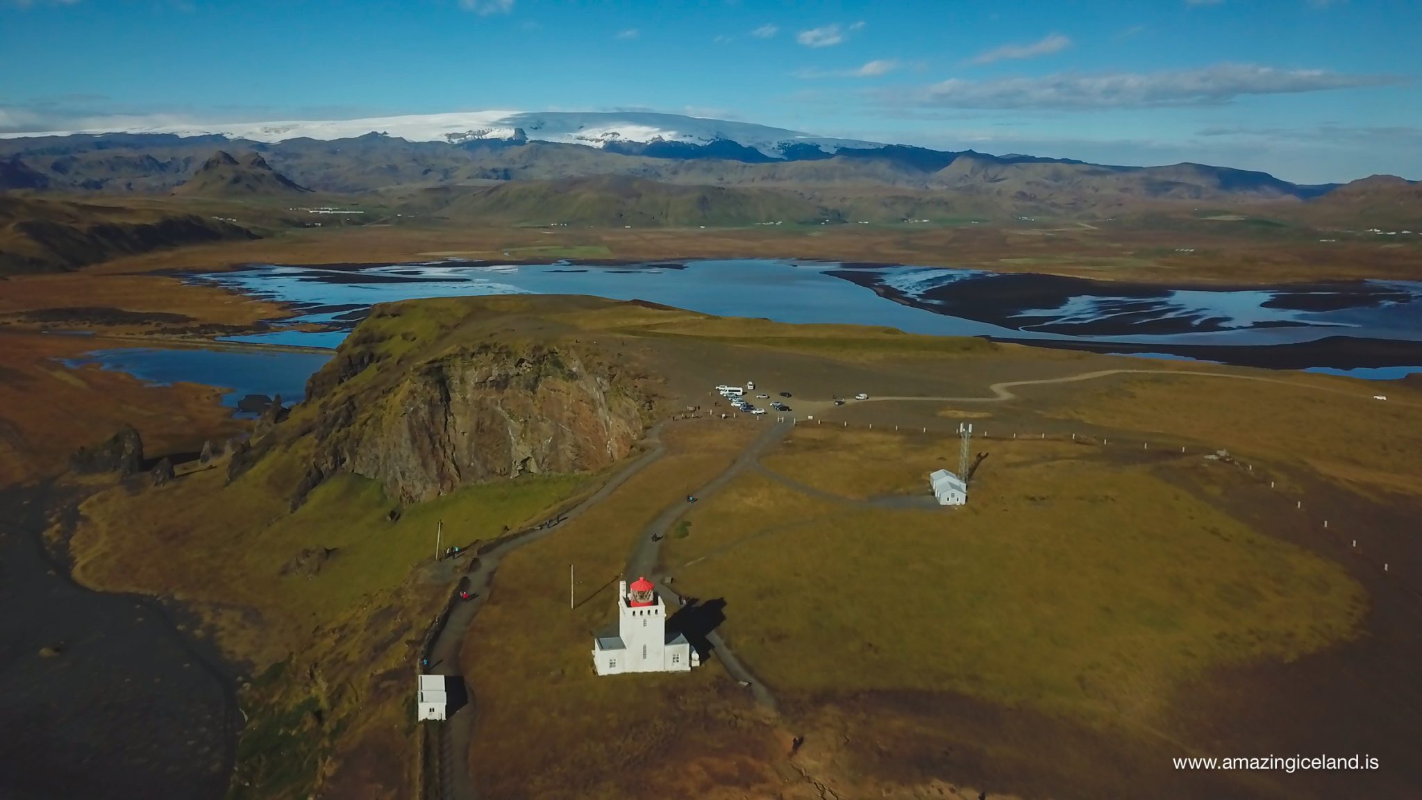
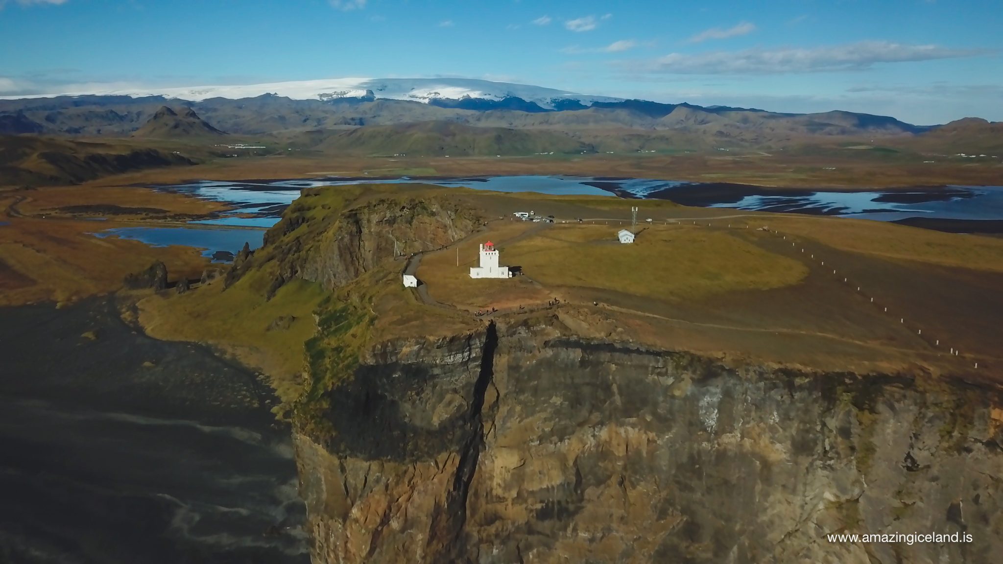
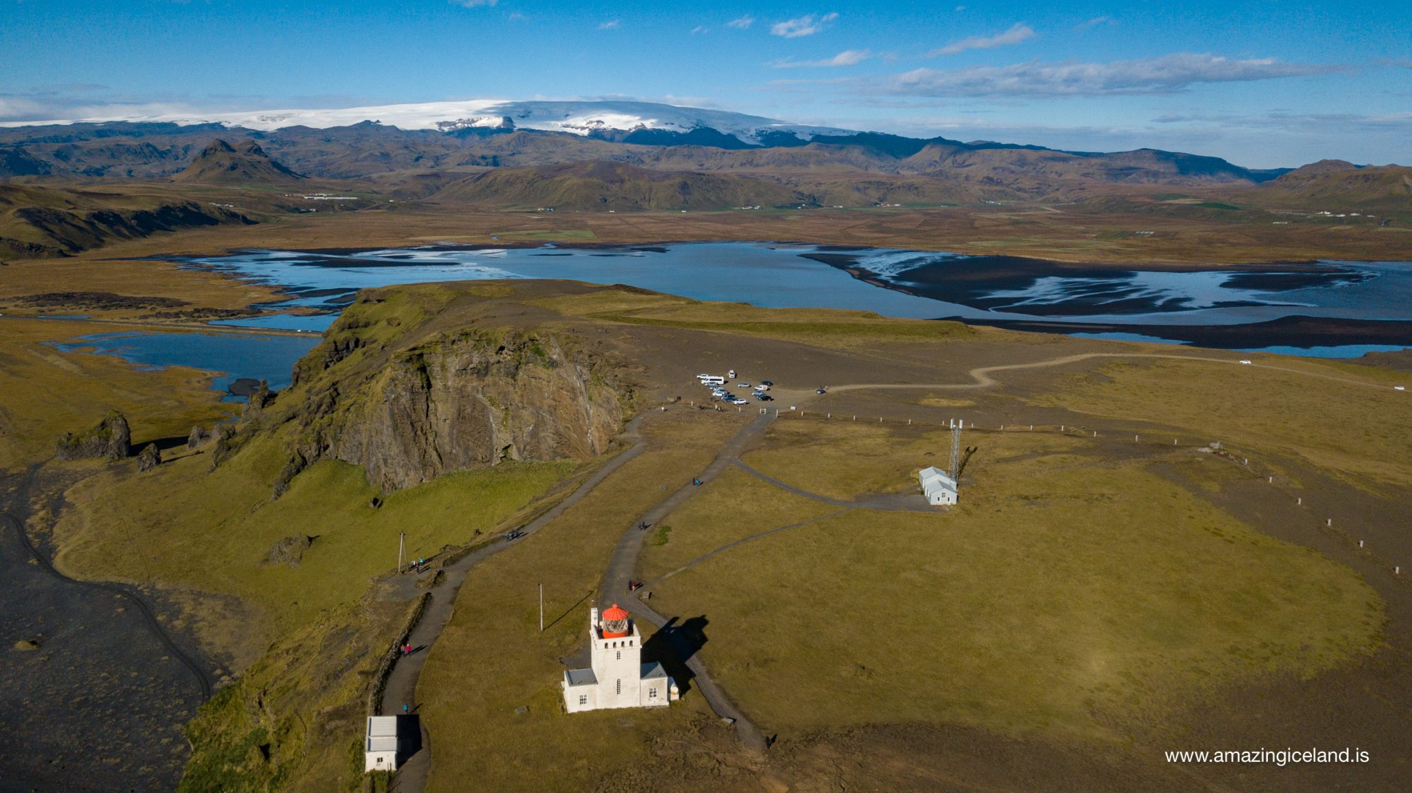
Háey — High Island — forms the western and highest part of Dyrhólaey. The lighthouse stands here, around 120 metres above the sea, and the elevated position gives some of the broadest views along the south coast.
Lágey — Low Island — lies farther east and gives a very different perspective. From the lower landscape, the cliffs, offshore rocks and overall volcanic structure become easier to understand.
Tóin is the narrow point associated with the eastern part of Dyrhólaey. The name refers to the point itself rather than to the famous arch.
The offshore stacks, caves and arch show what the sea continues to do to the headland. Waves exploit fractures and weaker sections of volcanic rock, gradually separating blocks from the mainland and eventually reducing them to stacks and reefs.
Surtsey provides a useful modern comparison. Created by eruptions between 1963 and 1967, it has been steadily eroded ever since. Over a sufficiently long period, a volcanic island such as Surtsey may develop a landscape of cliffs, stacks and remnants resembling what is now seen at Dyrhólaey.

A coastline that is still changing
Dyrhólaey should not be thought of as a completed geological feature. The Atlantic is still reshaping it, and the cliff edge continues to retreat.
In May 2012, a substantial section of cliff collapsed. The fallen section was estimated to be roughly four to five metres wide and around 100 metres long. Two people who had been standing near the edge fell with the collapsing ground and survived with relatively minor injuries.
Further large rockfalls occurred in 2015, while cracks have also developed close to parts of the cliff edge. Walking routes between Lágey and Háey have had to be moved because sections of the ground can fail with little warning.
Kirkjufjara, directly beneath part of Dyrhólaey, was closed to public access following rockfalls and serious incidents along this stretch of coast.
These events are a reminder that the cliffs are active erosion surfaces rather than permanent viewing platforms. Staying on marked paths and keeping a sensible distance from the edge matters even where the ground appears stable from above.
Birds and protected landscape
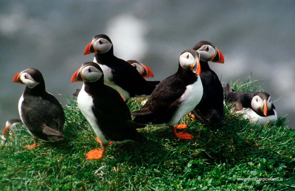
Dyrhólaey is an important nesting area for seabirds and was protected as a nature reserve in 1978. Atlantic puffins are among its best-known summer residents and can usually be seen around different parts of the headland from approximately May into September.
Their numbers and exact locations vary during the season, and other seabirds also nest along the cliffs and surrounding slopes. That makes Dyrhólaey one of the more accessible places on the south coast for observing coastal birdlife.
Access can be restricted during the main nesting period between 1 May and 25 June. Restrictions are assessed according to the condition of the birdlife and are not necessarily identical every year, so visitors travelling during this period should check the current access status before arriving.
Both Háey and Lágey should be explored using marked roads and walking paths. Drone flying inside the protected area requires permission, especially during the nesting season when birds can be disturbed easily by aircraft operating near cliffs and nesting sites.
The road to Háey is asphalt, but access can still be closed during winter when snow or ice makes the upper road unsafe.
Dyrhólaeyjarviti lighthouse
Dyrhólaeyjarviti stands on Háey and has guided ships approaching Iceland’s south coast for more than a century. The first lighthouse at Dyrhólaey was erected in 1910 as an iron-frame structure manufactured in Sweden and was the first lighthouse of its type in Iceland.
The present lighthouse was completed in 1927. The original design came from state architect Guðjón Samúelsson, with engineers Benedikt Jónasson and Thorvald Krabbe also involved in its development.
The square white concrete building has become one of the characteristic landmarks of Dyrhólaey. Its position high above the sea made the site particularly important as a landfall lighthouse for ships approaching Iceland from the south, and the light is among the strongest used in an Icelandic lighthouse.
Dyrhólaey was also important in the development of radio navigation in Iceland. A radio beacon began operating here in 1928 and remained in use beyond the Second World War.
For much of its history the lighthouse was staffed by a keeper. That era ended in 2015, when responsibility for its operation passed fully to the Icelandic Road and Coastal Administration.
Today the lighthouse itself is not the main reason most people visit Dyrhólaey, but its position on Háey makes it inseparable from the wider landscape.
Interesting facts:
- Dyrhólaey was formed during submarine volcanic eruptions around 100,000 years ago.
- The headland consists of two main areas: Háey, the high western section, and Lágey, the lower eastern section.
- Einar Einarsson of Skammhóll published a detailed two-eruption interpretation of Dyrhólaey’s geology in 1968.
- The great natural arch is the result of continuing marine erosion.
- Large sections of cliff collapsed in 2012 and again in 2015.
- The first lighthouse at Dyrhólaey was built in 1910.
- The present lighthouse dates from 1927.
- Dyrhólaey became a protected nature reserve in 1978.
- Atlantic puffins can normally be seen around the headland between May and September.
Image Gallery

Photography tips:
- Visit both Háey and Lágey. They offer completely different photographic perspectives and should not be treated as one viewpoint.
- From Háey, use the elevated position for broad coastal compositions towards Reynisfjara, Reynisfjall and Reynisdrangar to the east or towards Eyjafjallajökull to the west.
- In very clear conditions, include Vestmannaeyjar and Surtsey offshore to give the wider south-coast setting more depth.
- Lágey works better for showing the cliffs, arch and offshore rocks at a lower angle, giving the geology much more visual weight.
- Puffins are found in different places around the headland during summer rather than at one guaranteed viewpoint. Use a long lens, give them space and avoid pushing towards nesting areas.
- Strong wind is common on Háey, so keep tripods and loose equipment secure.
- Low-angle light can bring out structure in the cliffs and surrounding grassland, while heavy cloud can emphasise the exposed character of the headland.
- Most importantly, do not move towards the cliff edge for a better composition. Dyrhólaey has a documented history of major cliff collapse, and unstable fractures may not be visible from above.
Destinations nearby