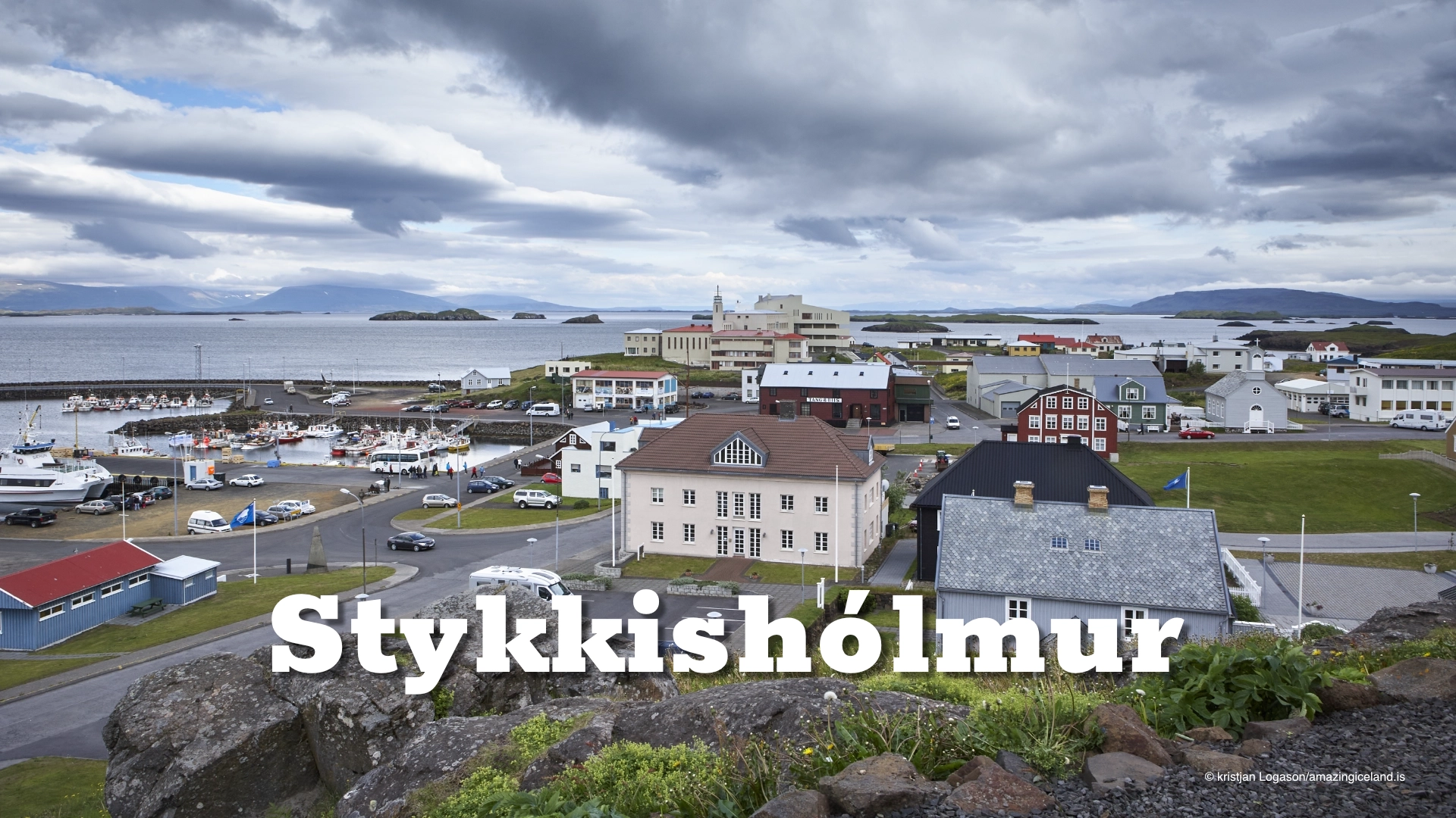
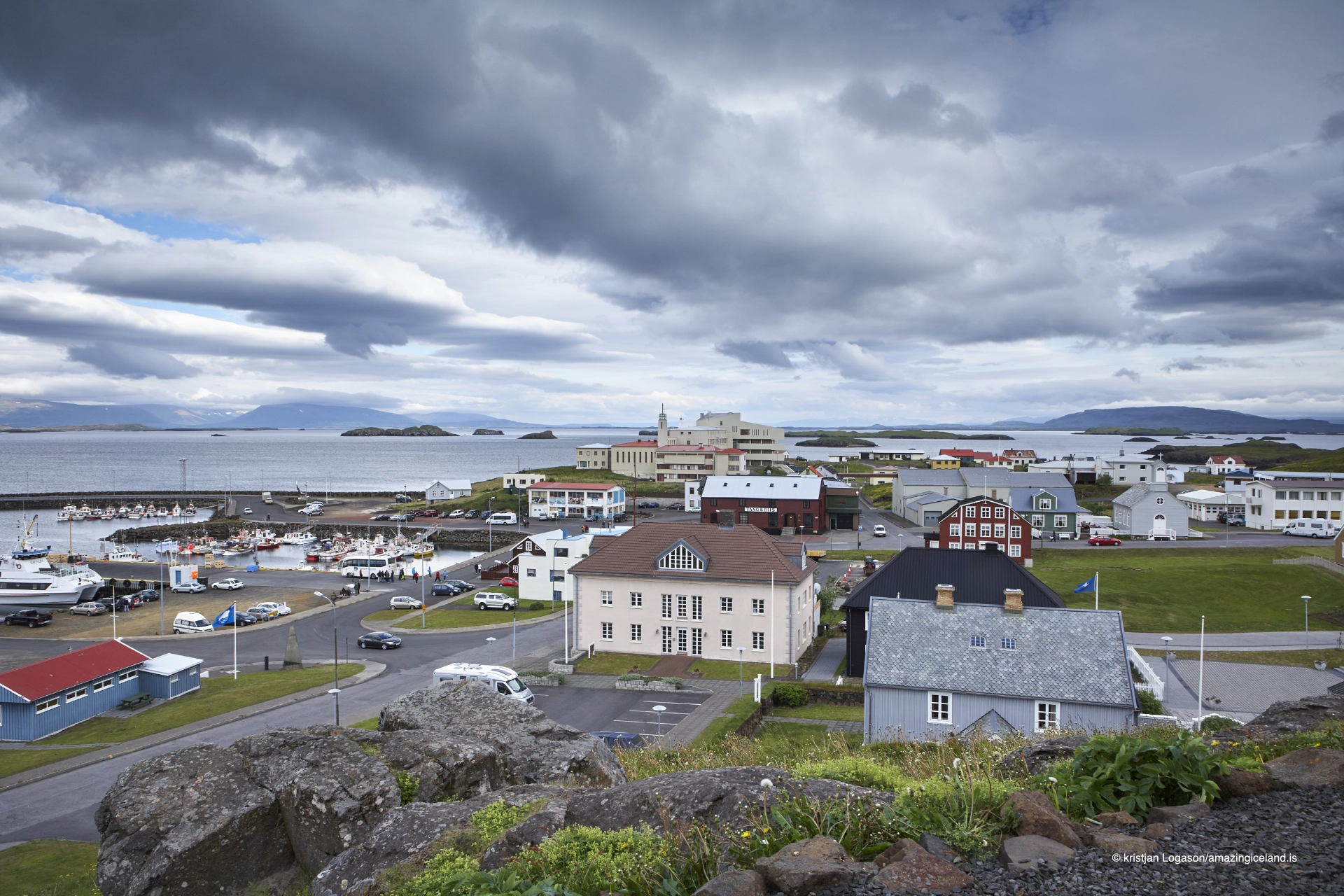
On the northern coast of the Snæfellsnes peninsula, Stykkishólmur occupies a naturally sheltered harbor overlooking Breiðafjörður. The town developed as a maritime center oriented toward islands, sea routes, and exchange, rather than inland agriculture or industrial concentration.
The location of Stykkishólmur on Snæfellsnes peninsula
Latitude
65.0756
Longitude
-22.7292
Stykkishólmur on Snæfellsnes peninsula
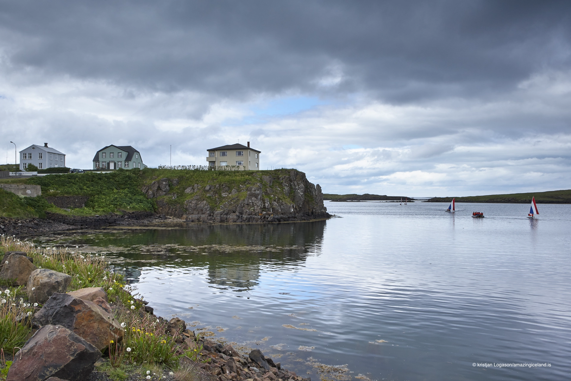
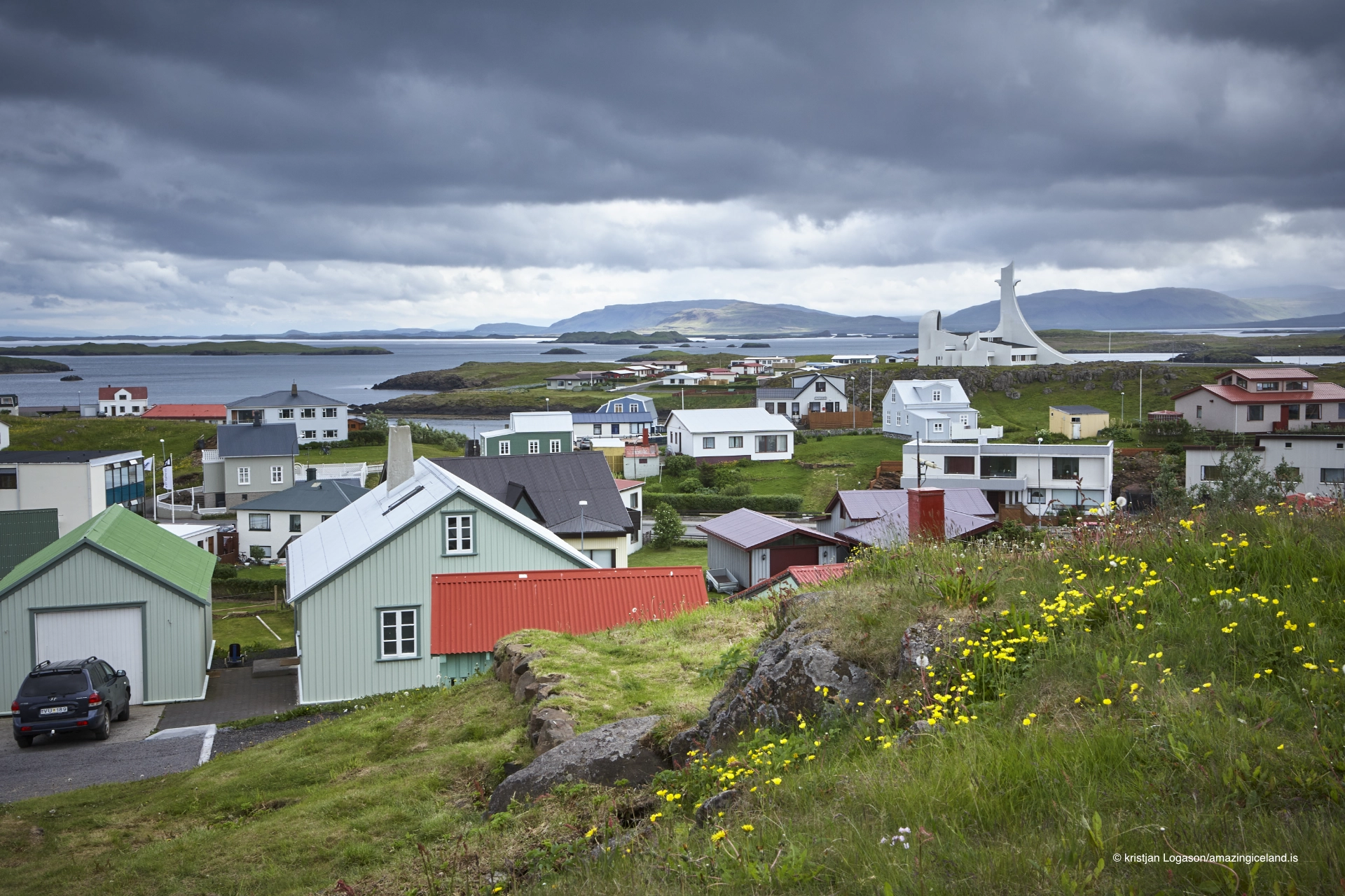
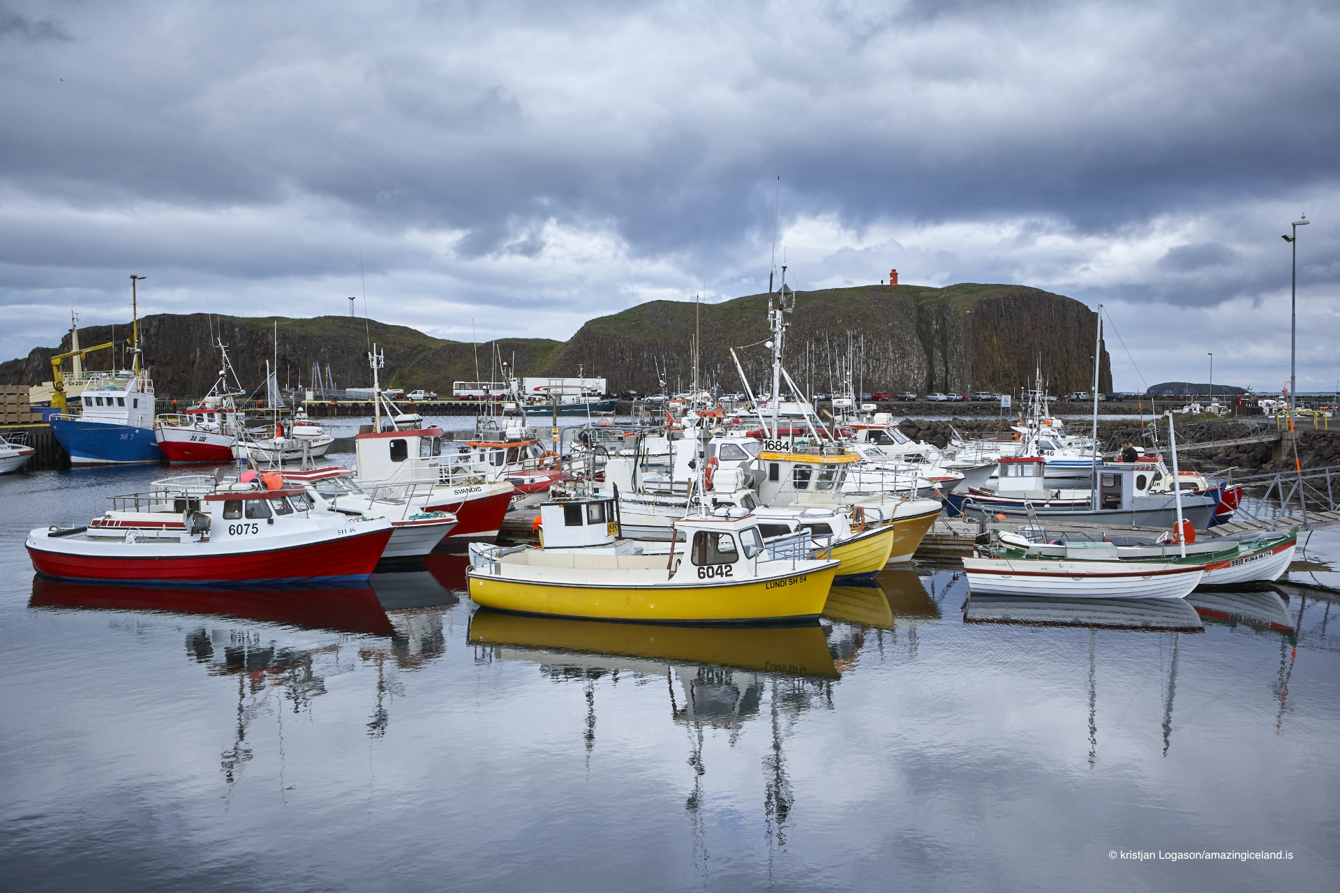
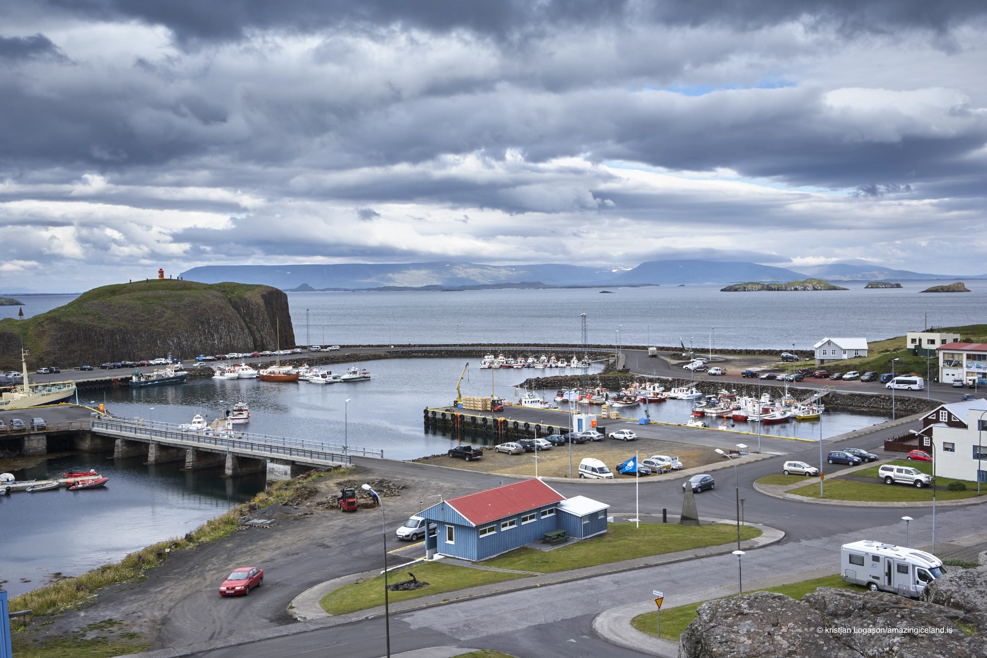
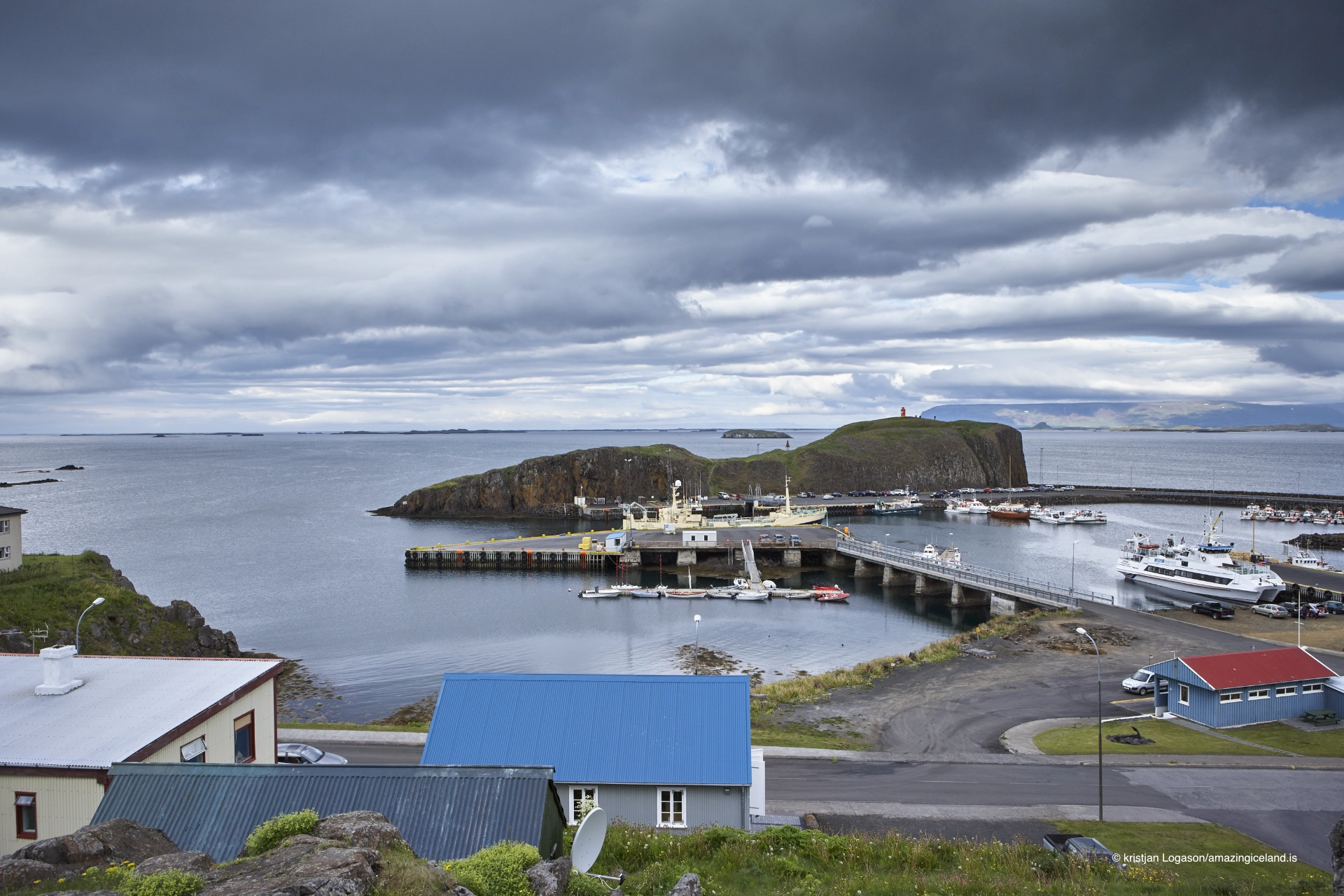
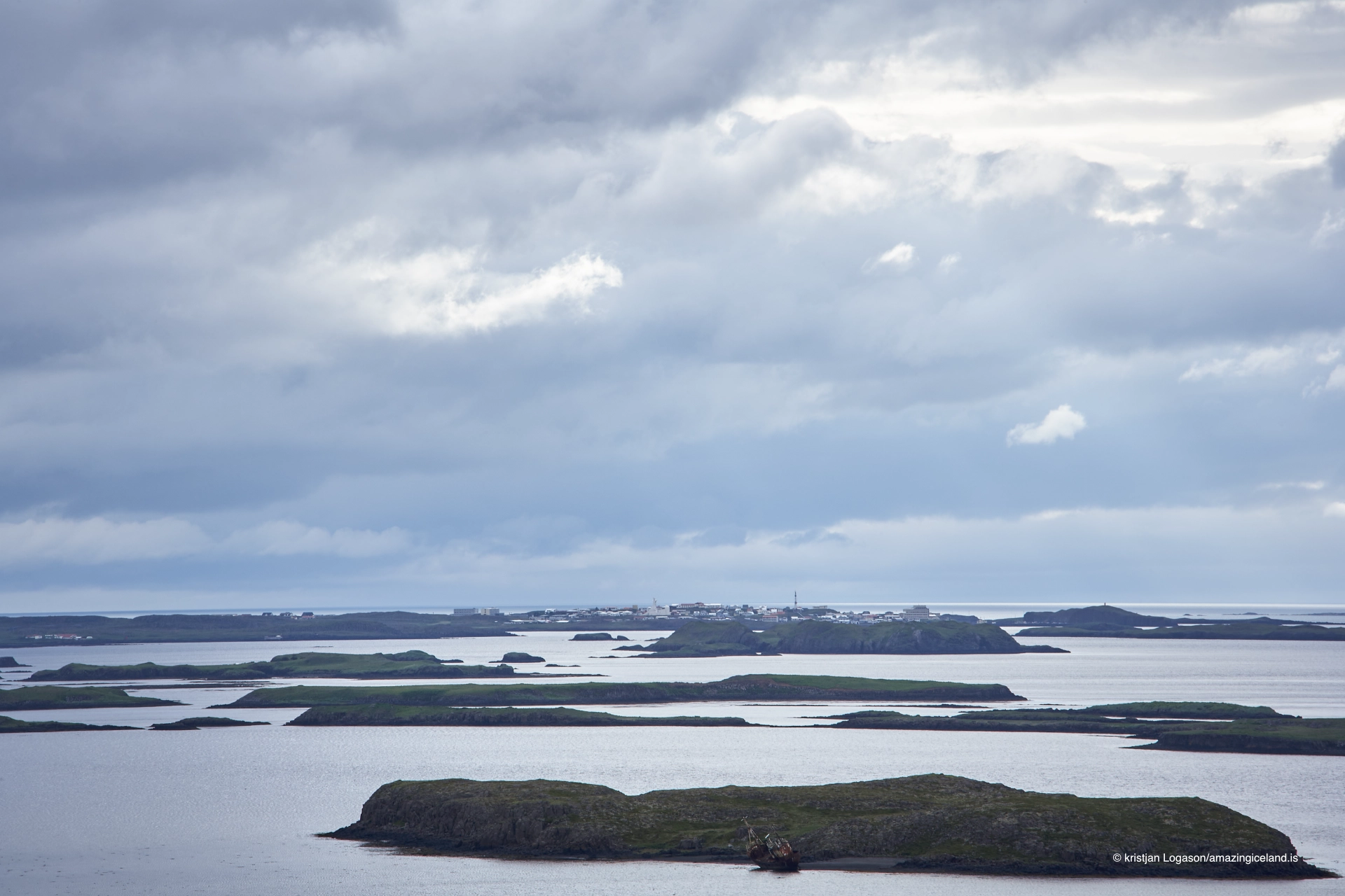
Stykkishólmur is situated on a series of low headlands extending into Breiðafjörður, a shallow and island-rich bay separating Snæfellsnes from the Westfjords. This location provides natural shelter and exceptional access to marine routes, shaping the town’s development from its earliest phase.
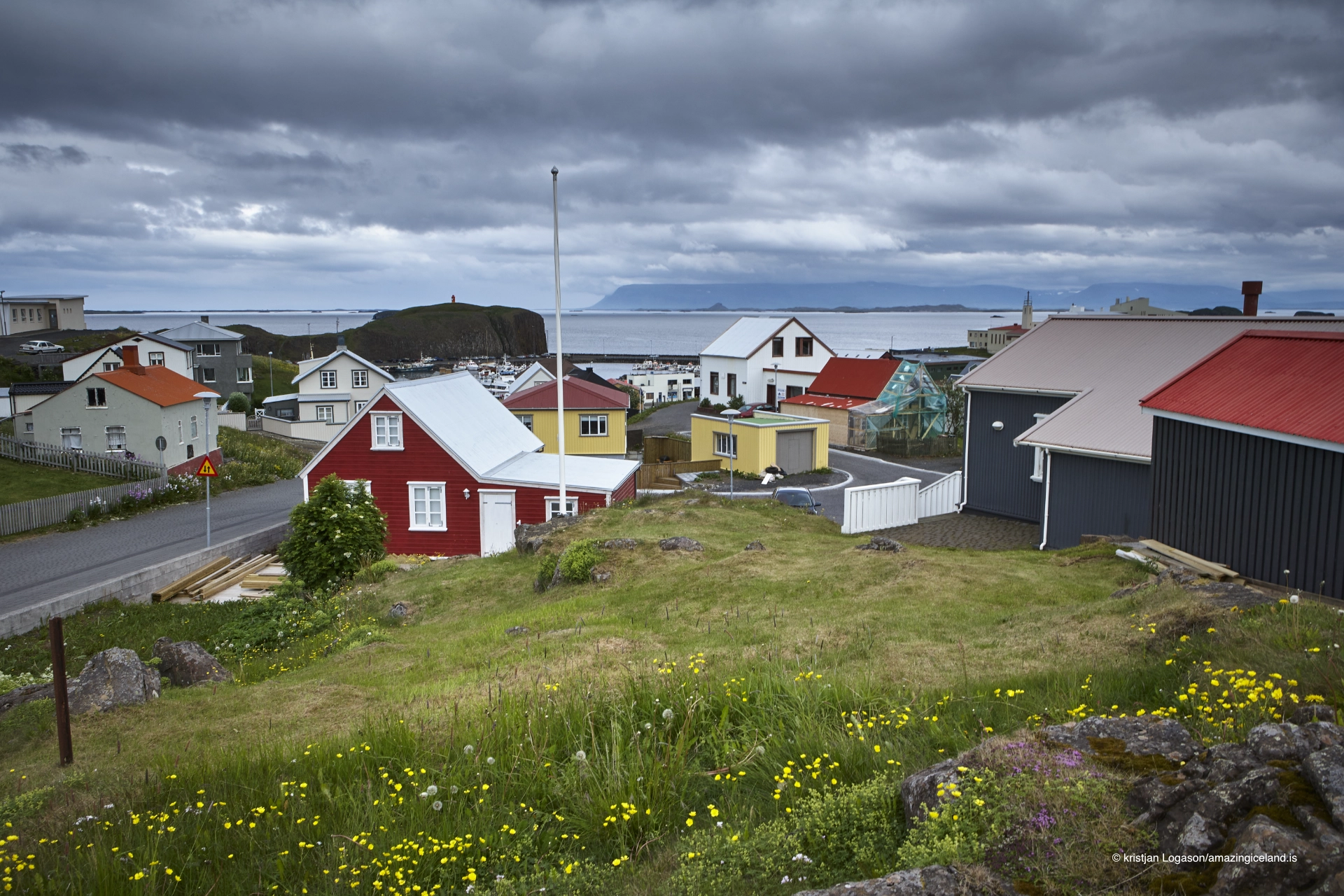
The surrounding geology is dominated by basaltic formations, sculpted by glacial erosion and post-glacial sea-level change. Numerous small skerries and islands in the fjord reduce wave energy and create navigable passages, making the harbor both accessible and predictable. From a physical geography perspective, Stykkishólmur represents a fjord–archipelago interface settlement, where safe anchorage is the primary asset.
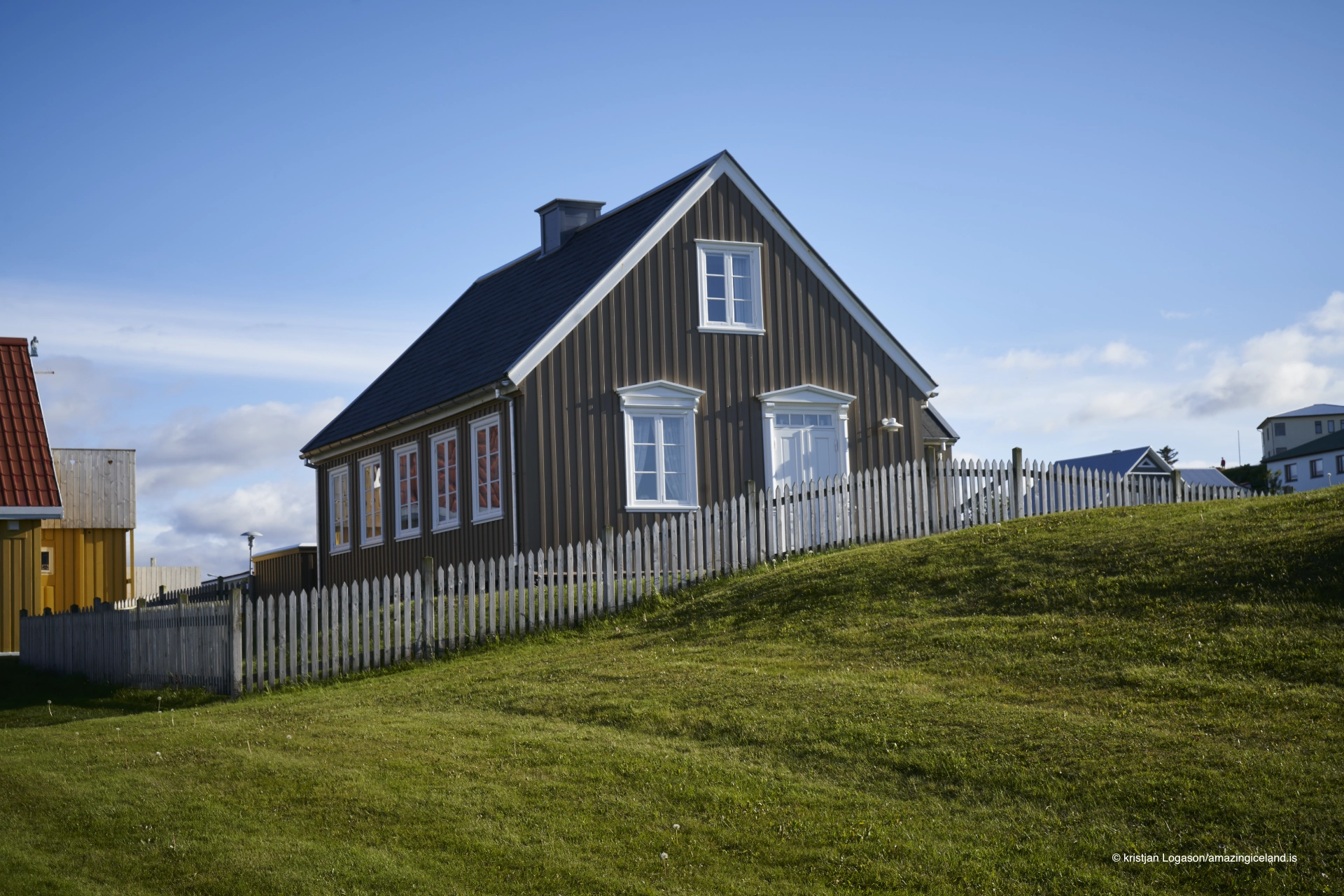
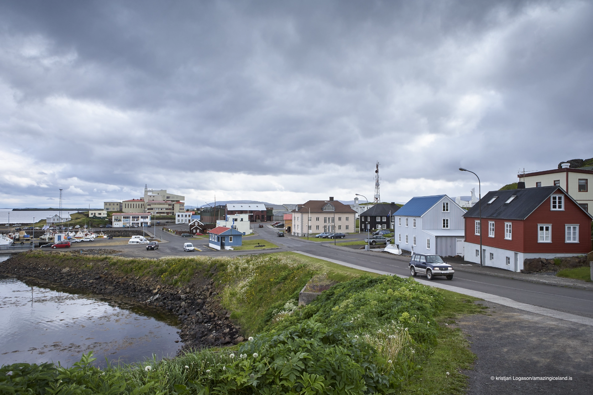
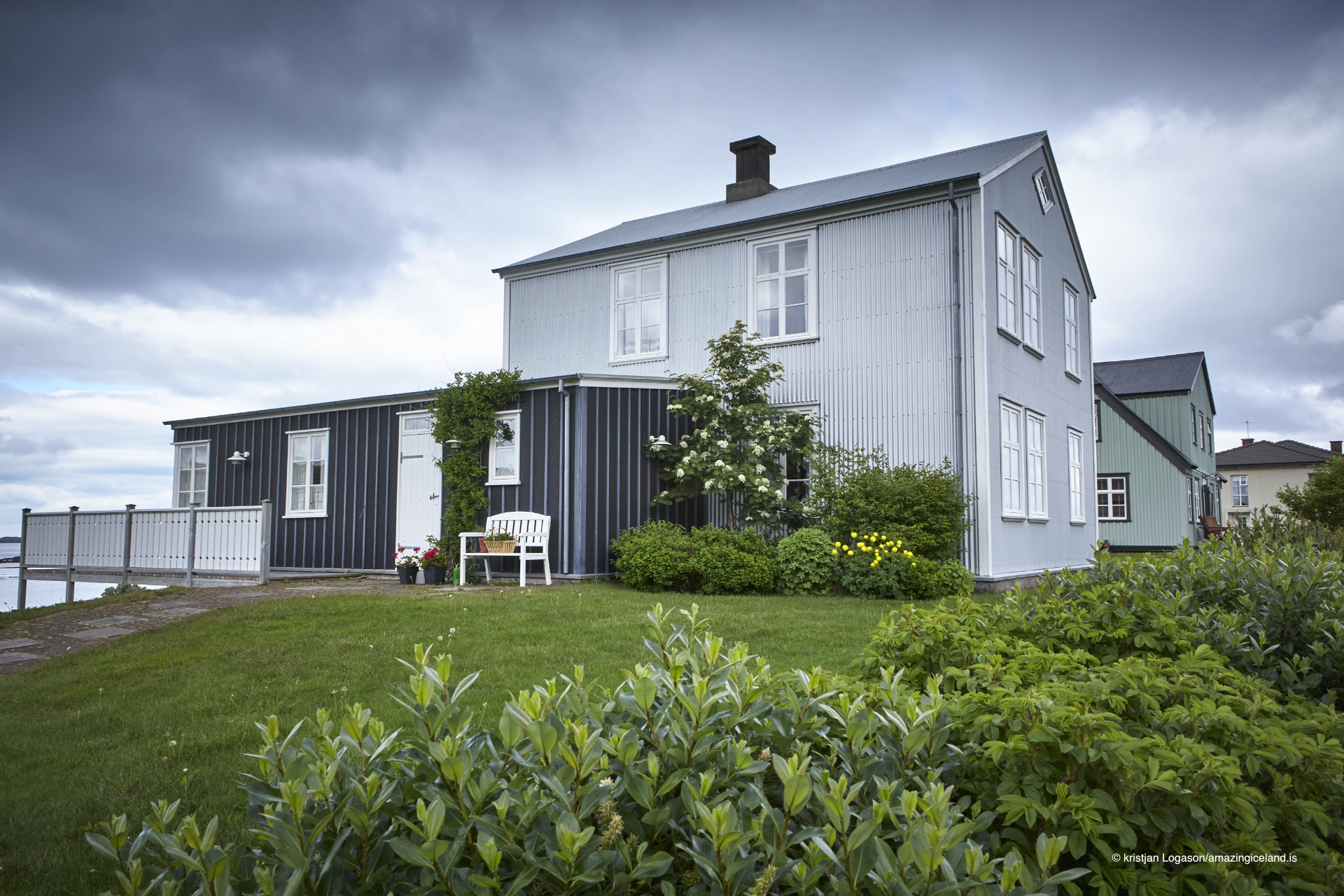
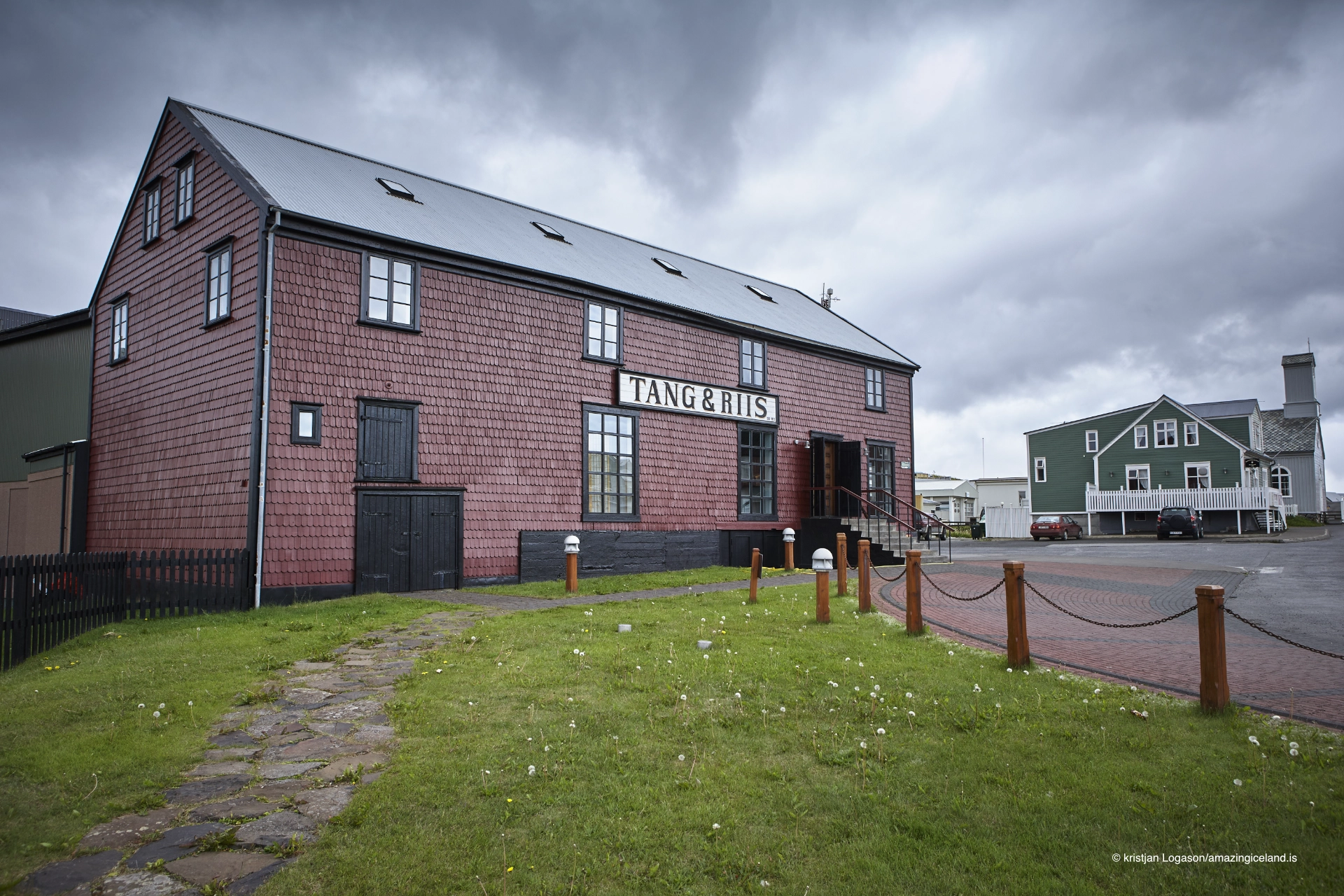
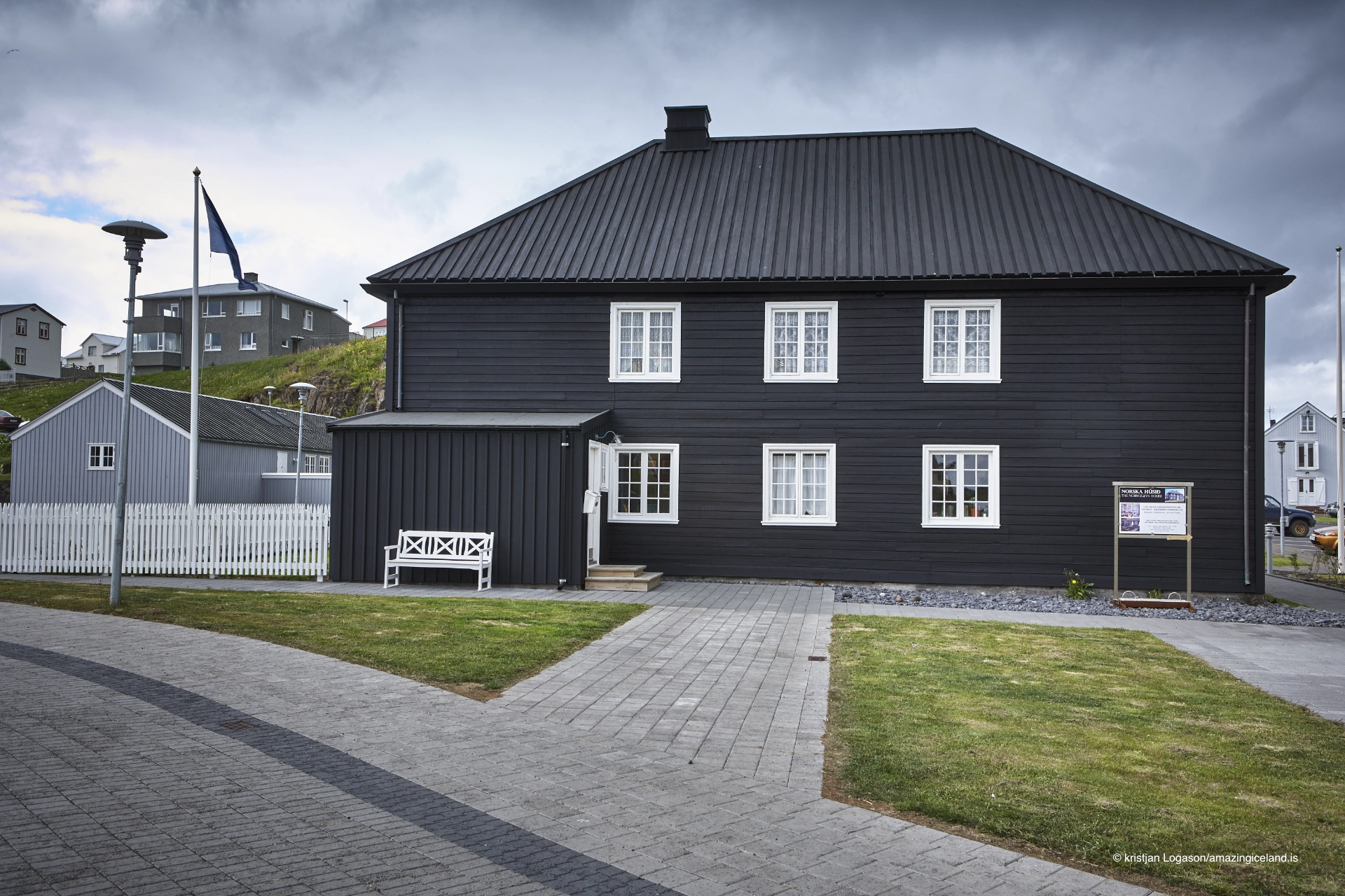
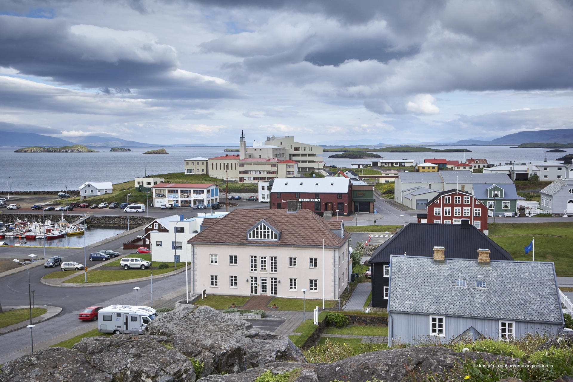
Unlike many Icelandic towns constrained by steep terrain, Stykkishólmur developed on relatively gentle slopes. This allowed a compact but coherent townscape to emerge, with harbor, residential areas, and civic buildings closely integrated.
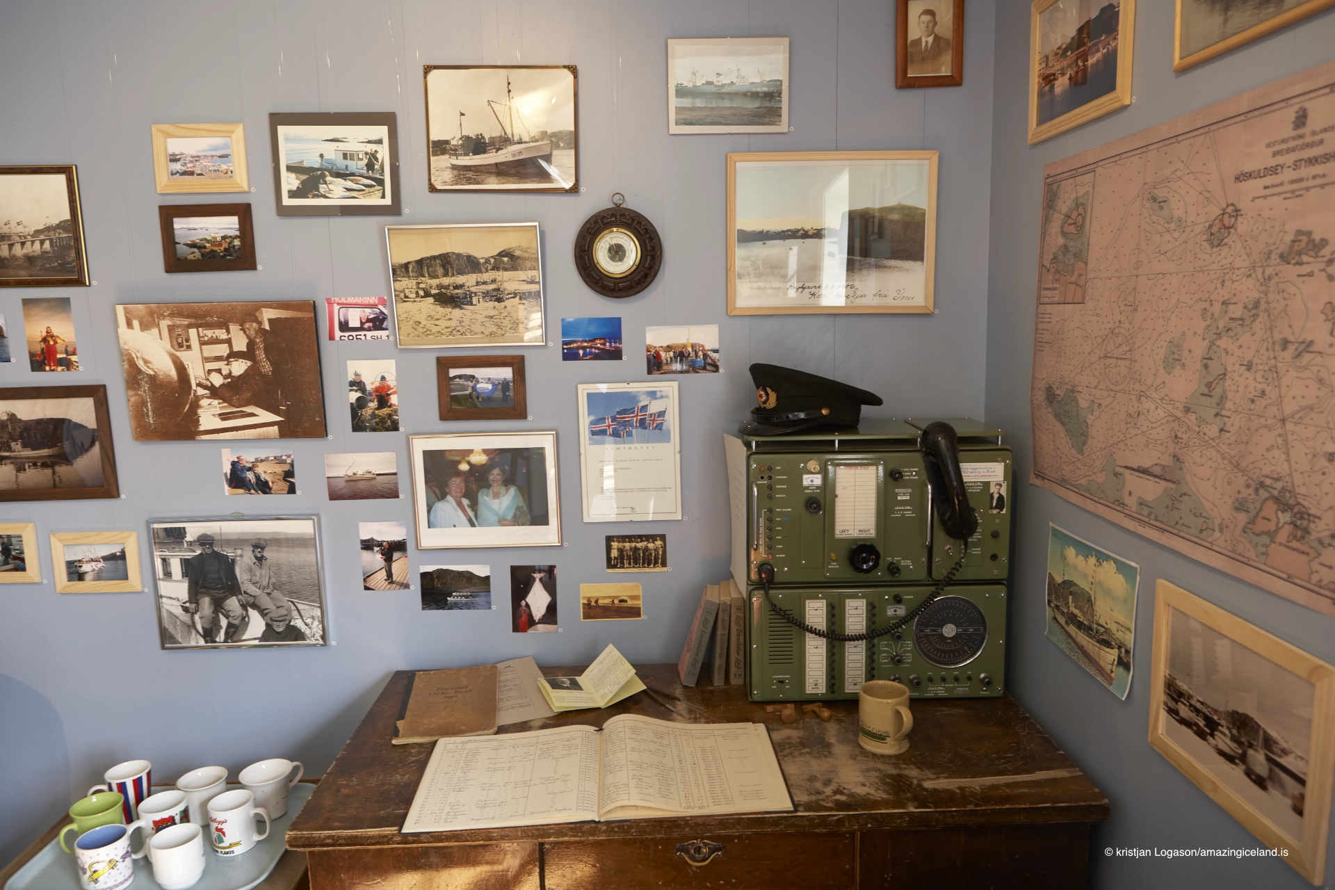
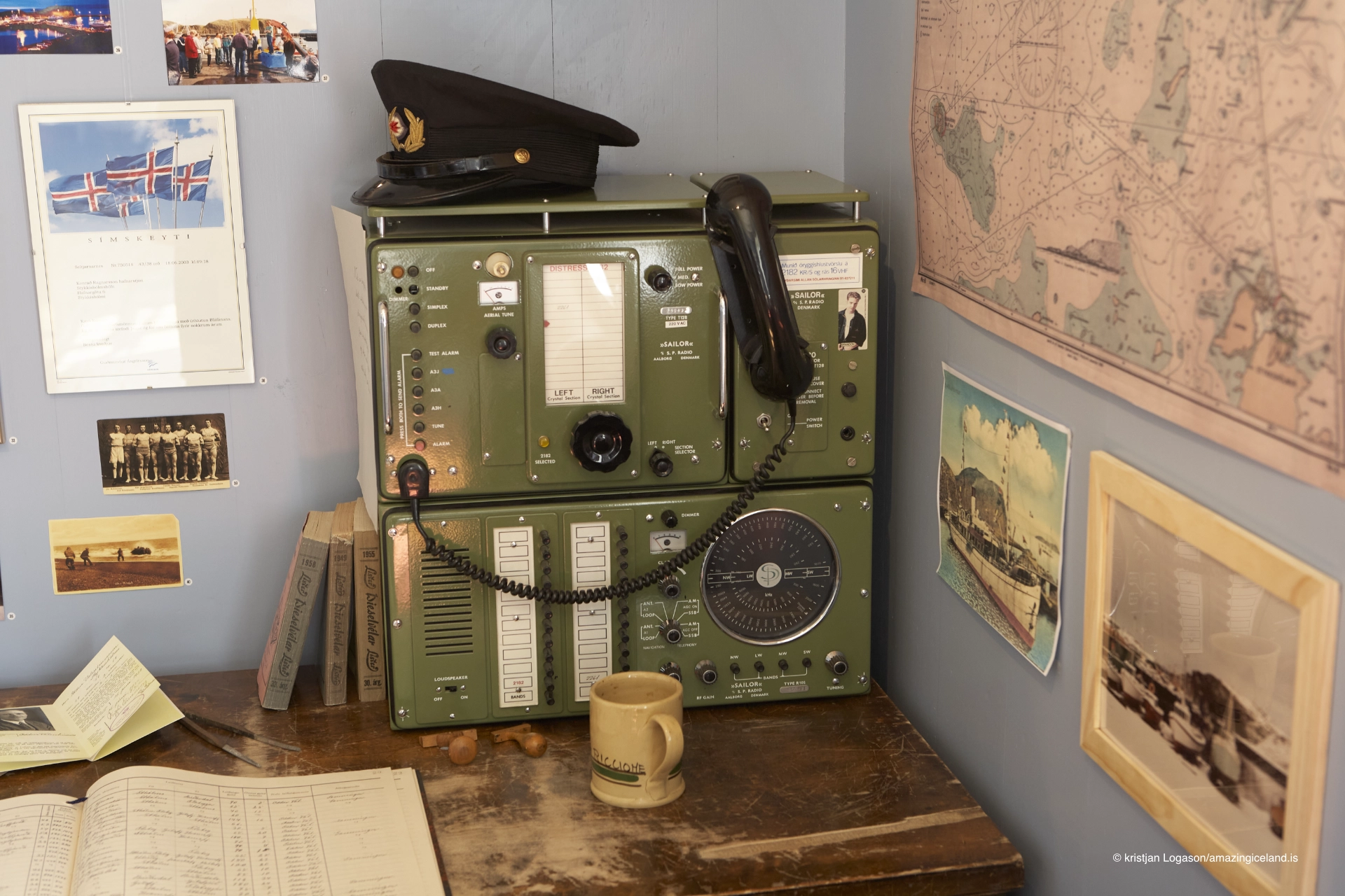
Historically, Stykkishólmur grew as a trading and fishing center serving Breiðafjörður and the surrounding islands. Formal town status was granted in the 19th century, but maritime activity predates this by centuries. The town functioned as a node in coastal trade networks, linking Snæfellsnes with the Westfjords and beyond.
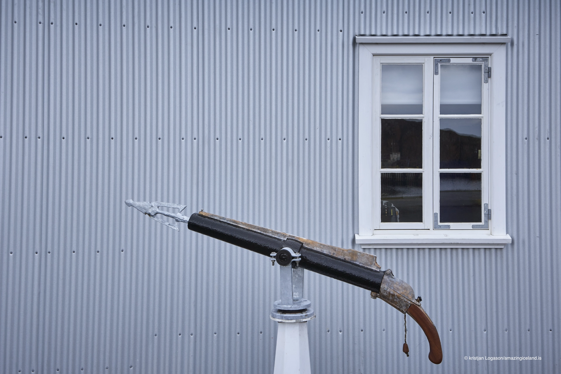
Fishing, boat building, and island-based resource use defined the local economy. The town’s relationship with the fjord was reciprocal: islands provided grazing, eggs, and fishing grounds, while Stykkishólmur offered landing, storage, and exchange.
This outward-facing orientation distinguishes Stykkishólmur from inland service towns. Its identity is shaped less by hinterland and more by water—movement across it, navigation within it, and dependence upon it.
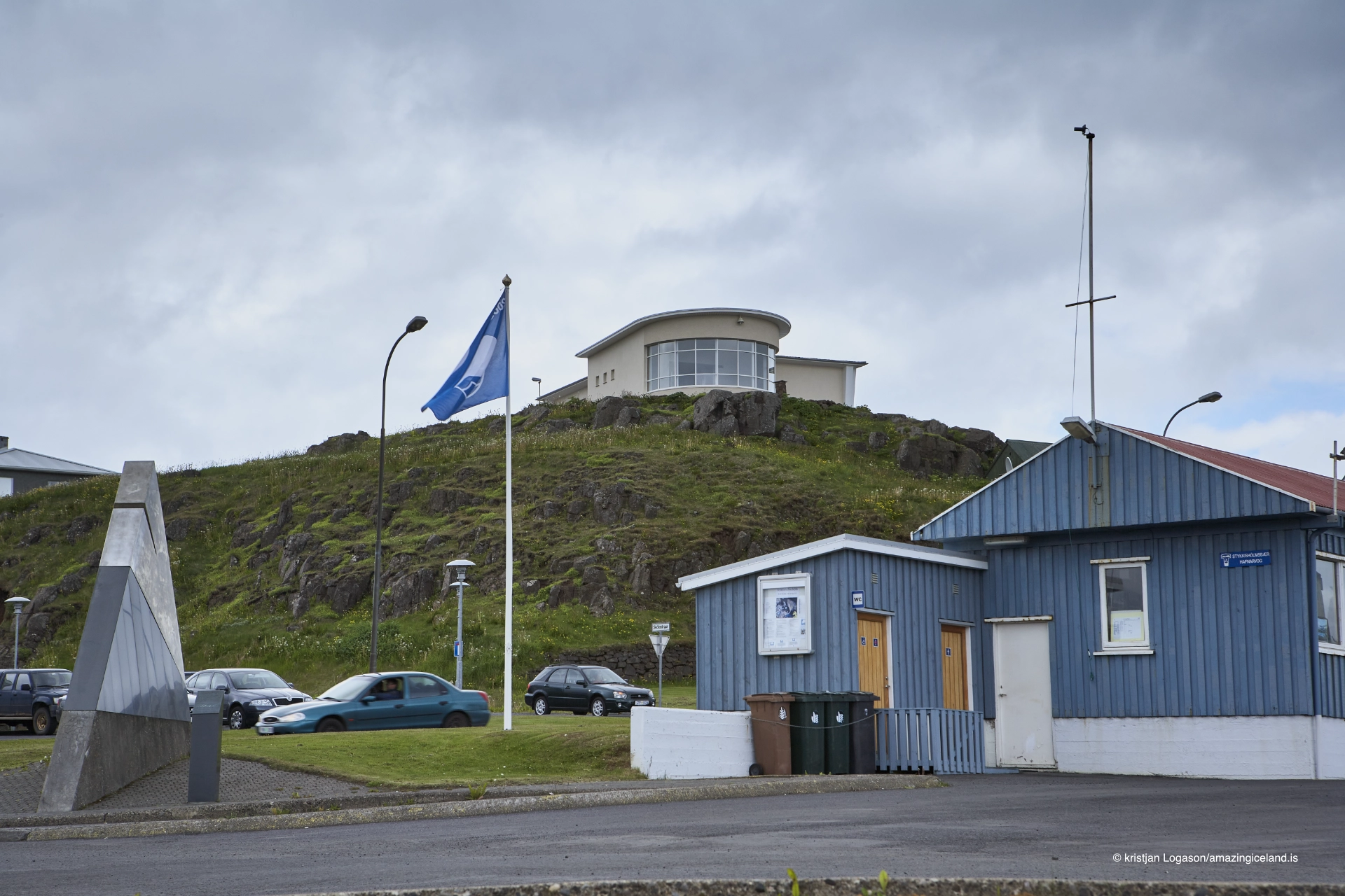
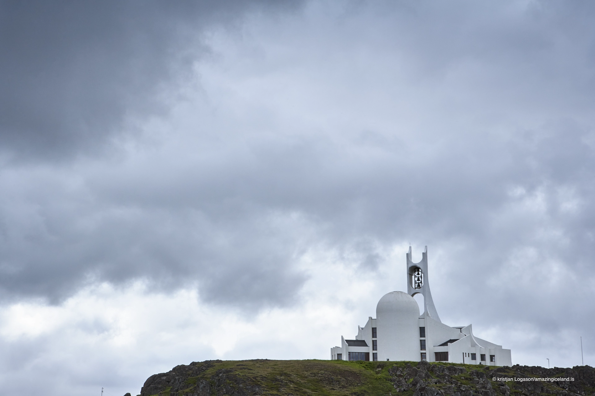
Culturally, Stykkishólmur has long functioned as a regional center for the northern Snæfellsnes coast. Education, administration, and services concentrated here, supported by maritime accessibility rather than road infrastructure alone.
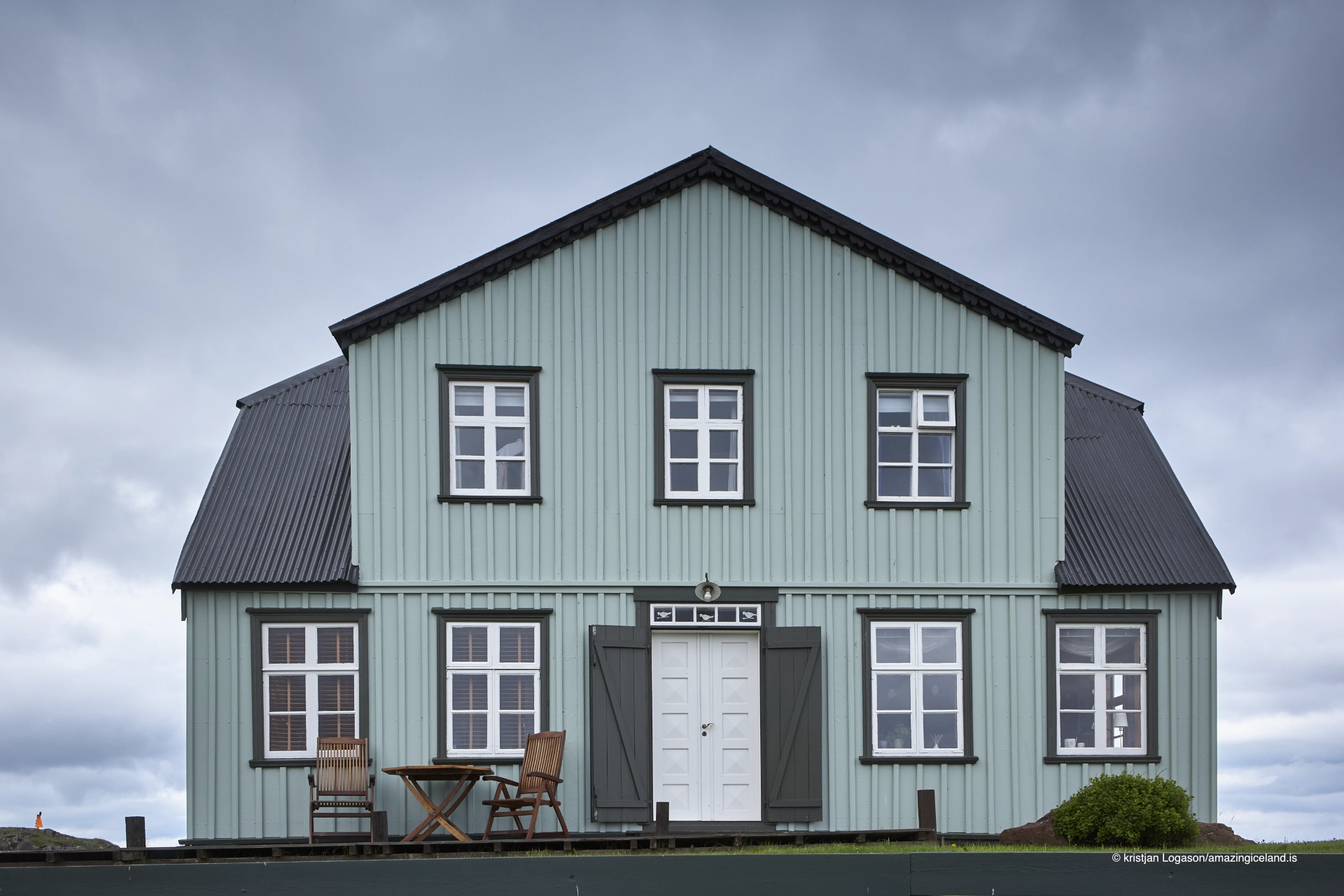
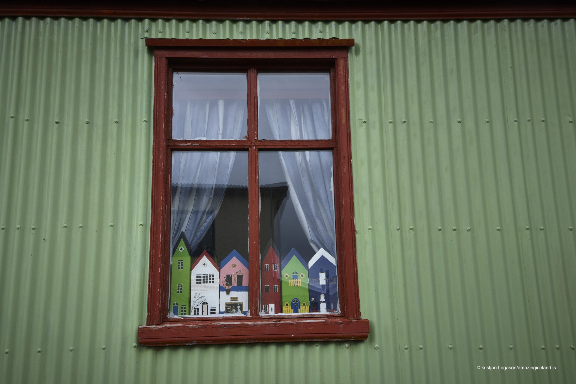
The townscape reflects this role. Buildings are modest in scale but deliberately placed, maintaining visual and functional proximity to the harbor. The skyline remains low, allowing the surrounding sea and islands to dominate perception.
Stykkishólmur illustrates coastal centrality—how towns emerge and persist by organizing maritime space rather than controlling land.
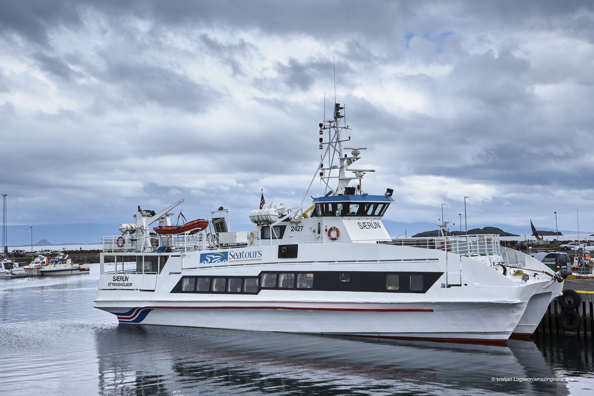
Modern infrastructure has reinforced Stykkishólmur’s connective role. The town serves as a key ferry port linking Snæfellsnes to the Westfjords, maintaining continuity with historical sea routes even as road networks expanded elsewhere.
Environmental conditions continue to shape daily life. Weather, tide, and seasonal light variation influence harbor activity and movement. Despite modernization, the town remains sensitive to the rhythms of Breiðafjörður.
This sensitivity is reflected in planning decisions that prioritize harbor function and visual openness over expansion. Stykkishólmur remains legible as a working coastal town rather than a curated destination.
Stykkishólmur ultimately derives significance from position. It stands where land yields to water, and where islands become accessible rather than distant. Its strength lies in coordination—of routes, services, and maritime knowledge accumulated over generations.
Interesting facts:
- Stykkishólmur overlooks Breiðafjörður, one of Iceland’s largest island-rich bays.
- The town developed primarily as a maritime and trading center.
- It occupies a naturally sheltered harbor formed by headlands and skerries.
- Stykkishólmur is a key ferry port connecting Snæfellsnes and the Westfjords.
- The town’s layout remains closely integrated with the harbor.
Image Gallery


The Locomotive Elite
What do Donald Trump and Iceland’s Locomotive Elite have in common?
Far more than you think.
In The Locomotive Elite, you’ll uncover how a tiny clique in Iceland captured extensive control—of banks, courts, media, and even the central bank.
For decades they ruled, first democratically, then through corruption and in the end through crime, enriching themselves and their cronies while dismantling oversight.
The result?
One of the most spectacular financial collapses in modern history.
Photography tips:
- Work from elevation: Views over harbor and islands explain spatial logic.
- Use the islands: Skerries and boats provide scale and rhythm.
- Avoid crowding: The town reads best with clean, open compositions.
- Weather awareness: Light and cloud patterns over Breiðafjörður are central.
- Harbor first: The sea, not buildings, should anchor most frames.
Good cameras for Iceland
Sony A7R V

Sony A7s lll

Canon R6

Nikon Z6 lll

Destinations nearby


Good to have in Iceland


