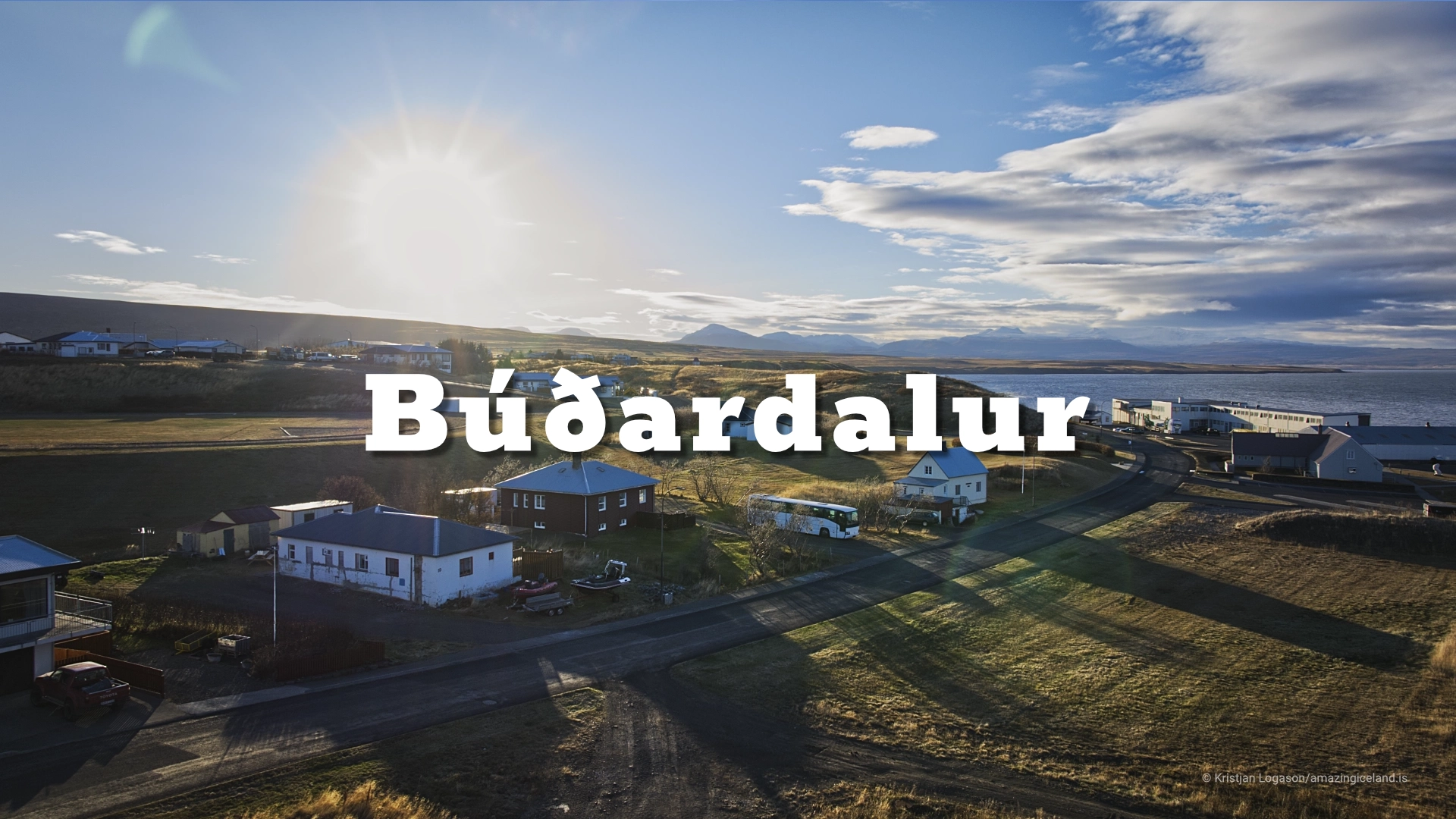
At the head of Hvammsfjörður, in the historically significant Dalir region, Búðardalur occupies a rare stretch of relatively gentle terrain. Unlike the steep fjords and exposed coasts that dominate much of Iceland, Búðardalur developed in a landscape defined by rolling land, shallow valleys, and access to both sea and farmland.
The location of Búðardalur
Latitude
65.1086
Longitude
-21.7669
Búðardalur
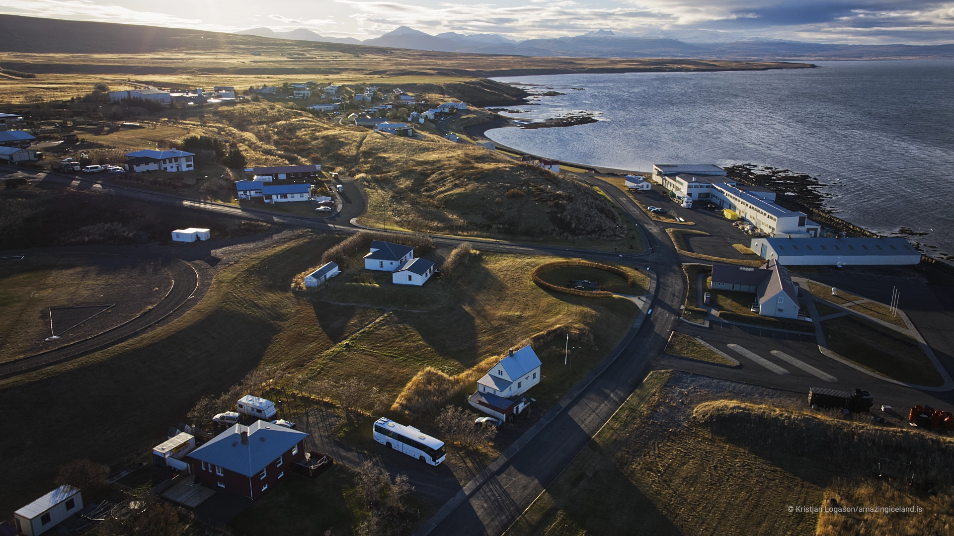
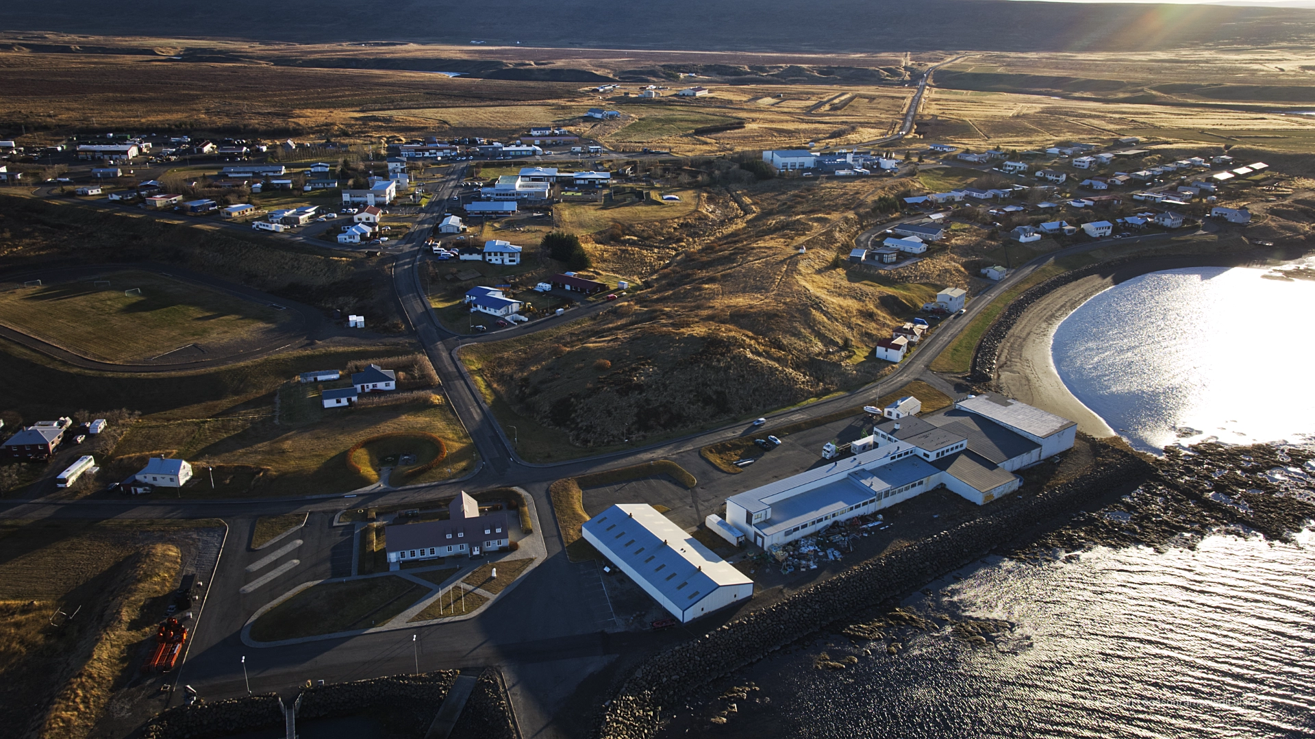
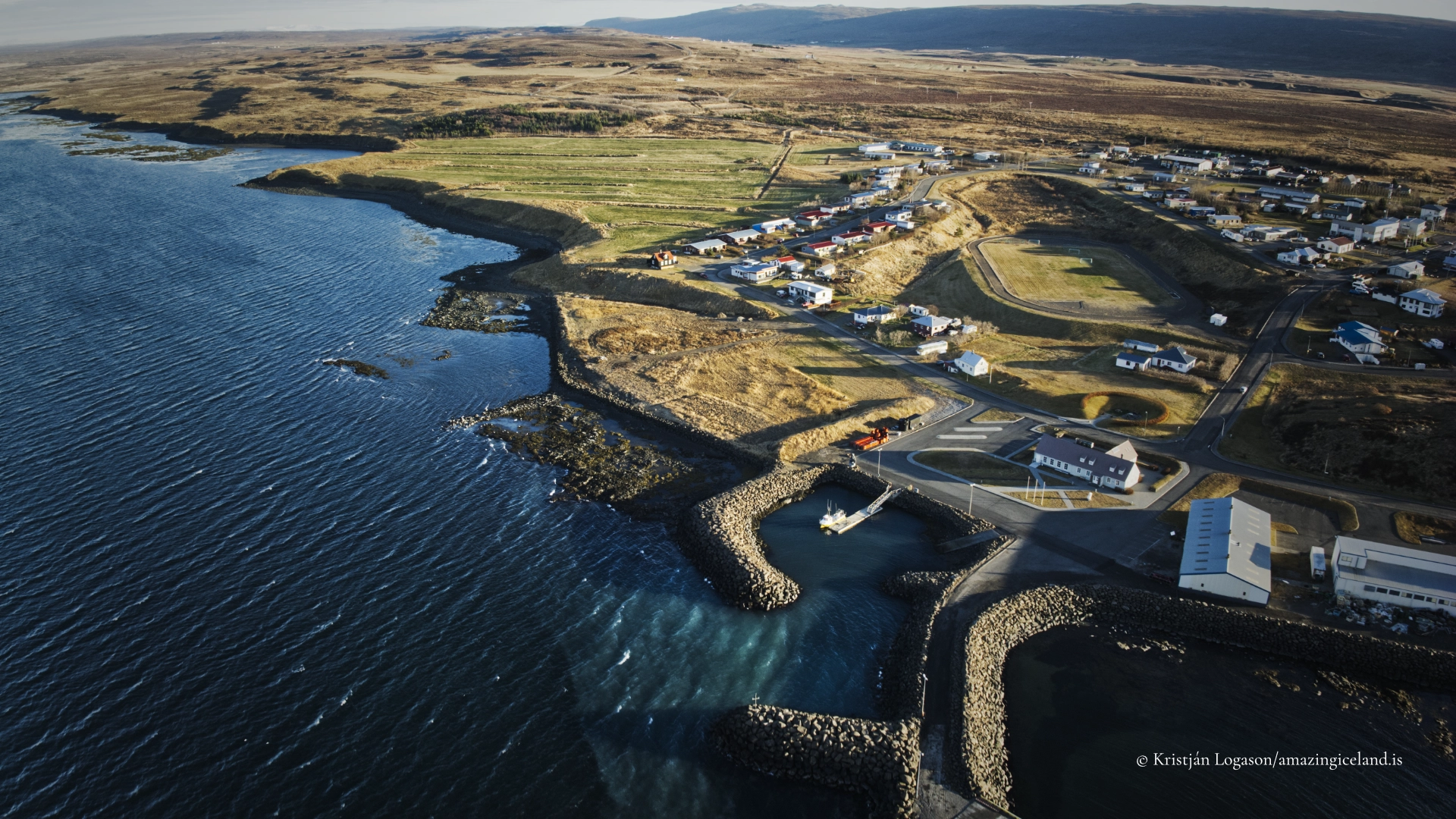
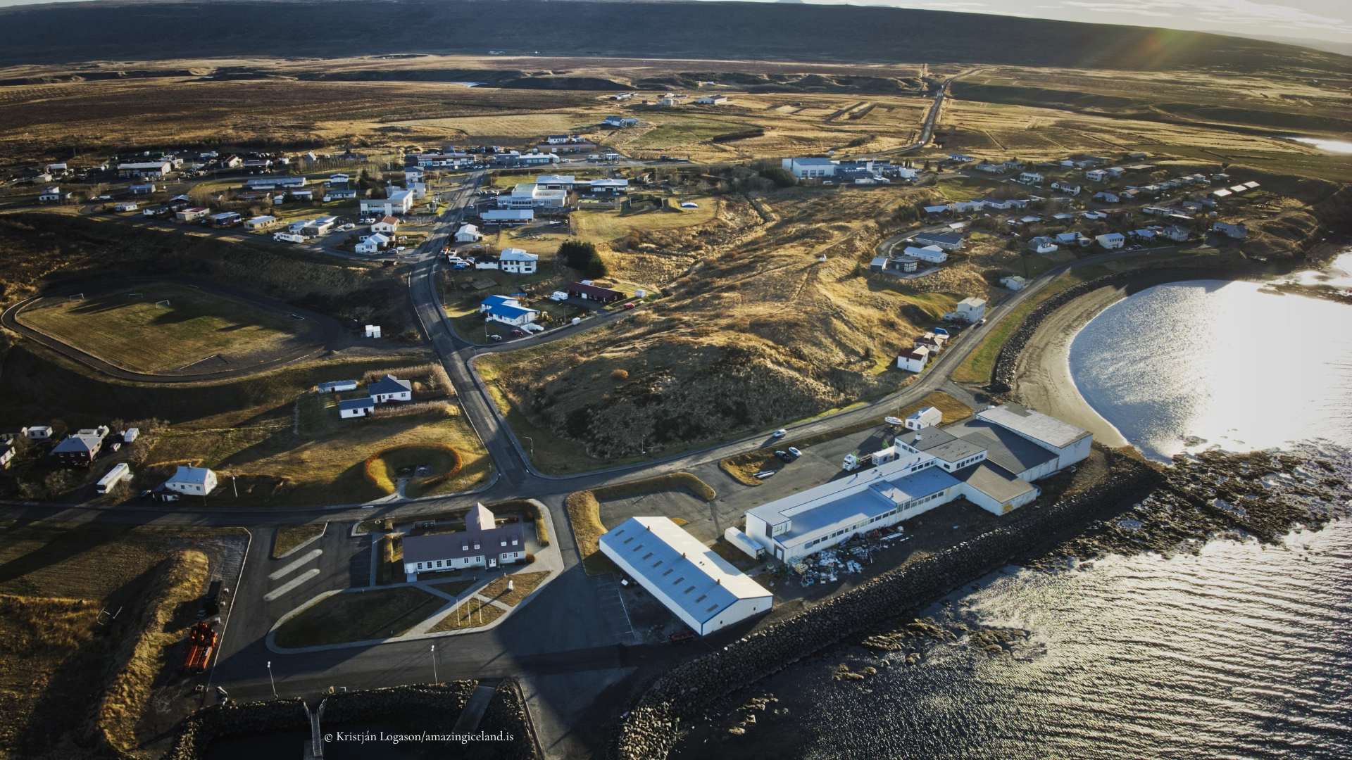
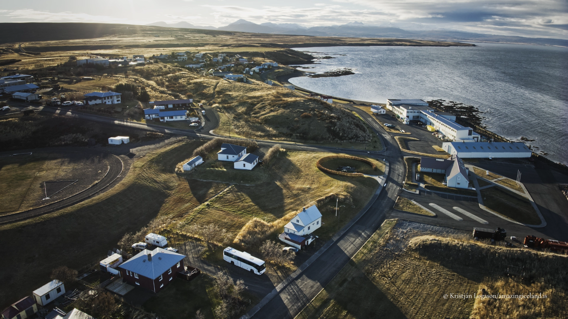
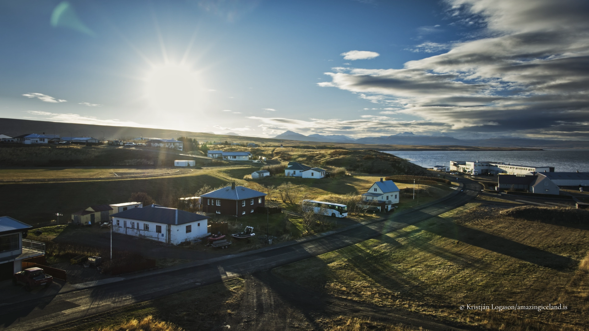
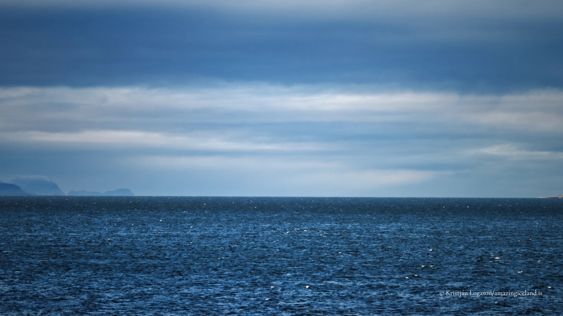
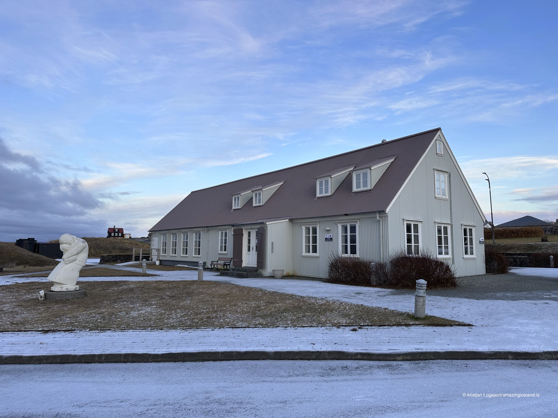
Búðardalur is located in western Iceland, serving as the principal settlement of the Dalir district. The town sits along the shores of Hvammsfjörður, a broad and sheltered fjord branching from Breiðafjörður. This setting has historically provided calmer waters and more stable access than the exposed Atlantic coastline, shaping settlement patterns and economic activity.
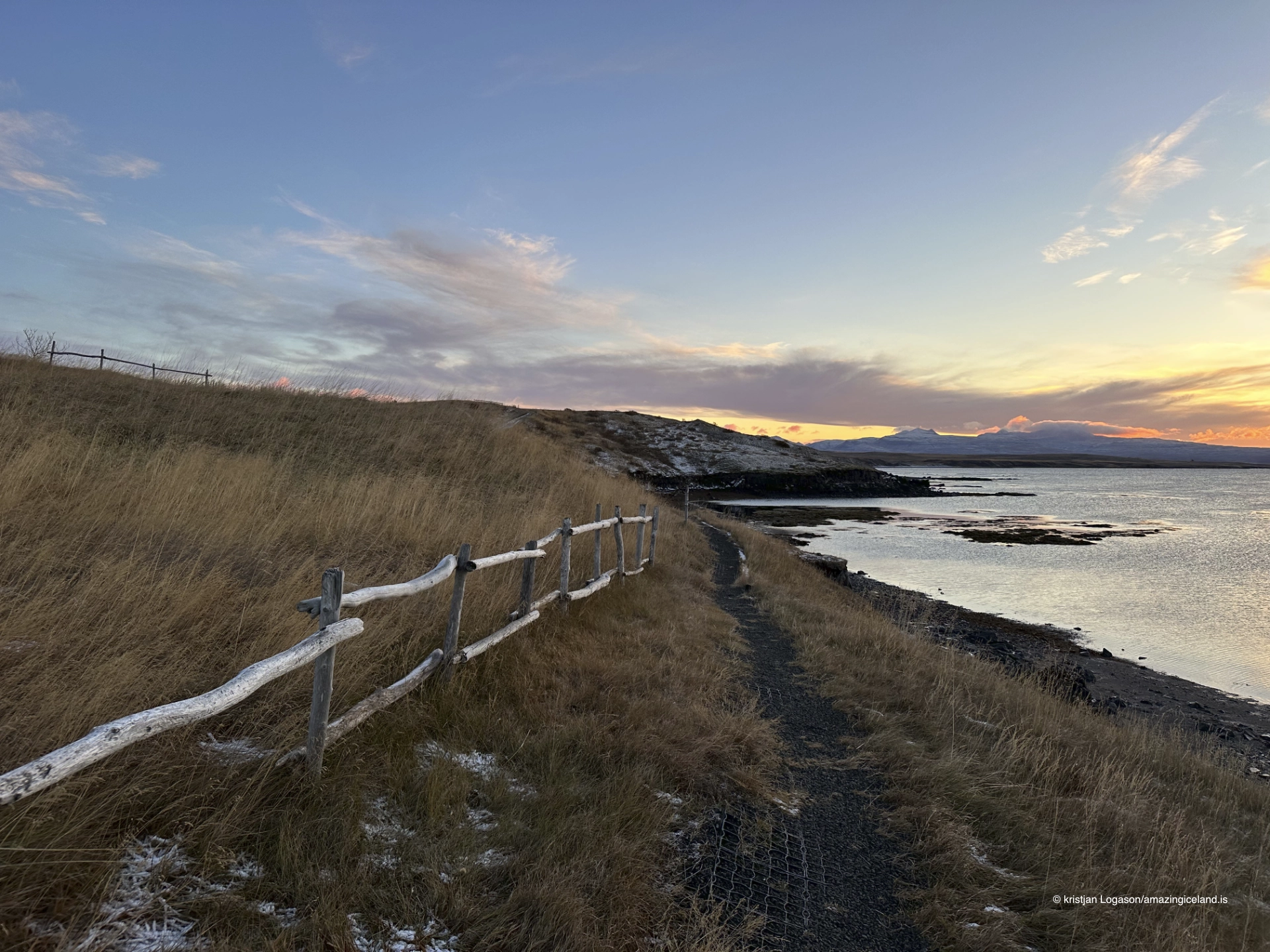
The surrounding terrain differs markedly from Iceland’s more dramatic regions. Dalir is characterized by low hills, shallow valleys, and comparatively fertile soils, allowing agriculture to develop alongside fishing. This combination has long defined Búðardalur’s role as a service center rather than a specialized extraction site.
From a geographical perspective, Búðardalur represents a lowland settlement model—one in which moderation of terrain enables continuity and diversification rather than rapid growth or dramatic collapse.
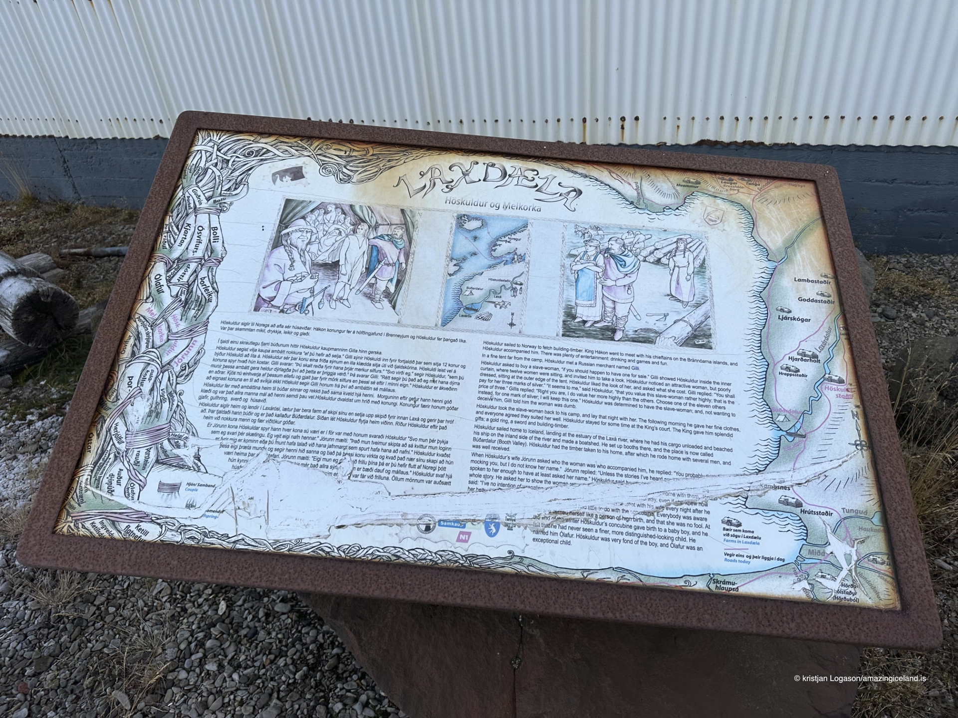
Historically, the Dalir region holds a prominent place in Icelandic cultural memory. The area is closely associated with early settlement and saga history, including figures such as Eiríkur rauði, who was born in Dalir before his later voyages to Greenland. While Búðardalur itself developed much later as a town, it inherits this deep historical context through geography rather than direct narrative.
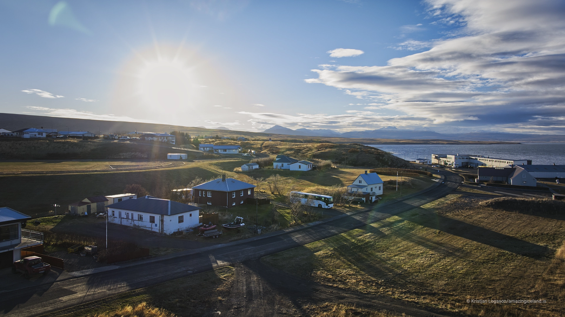
The modern settlement grew gradually during the 19th and 20th centuries, functioning as a local hub for trade, services, and transportation. Its harbor supported small-scale fishing and coastal traffic, while inland routes connected farms scattered across the Dalir lowlands.
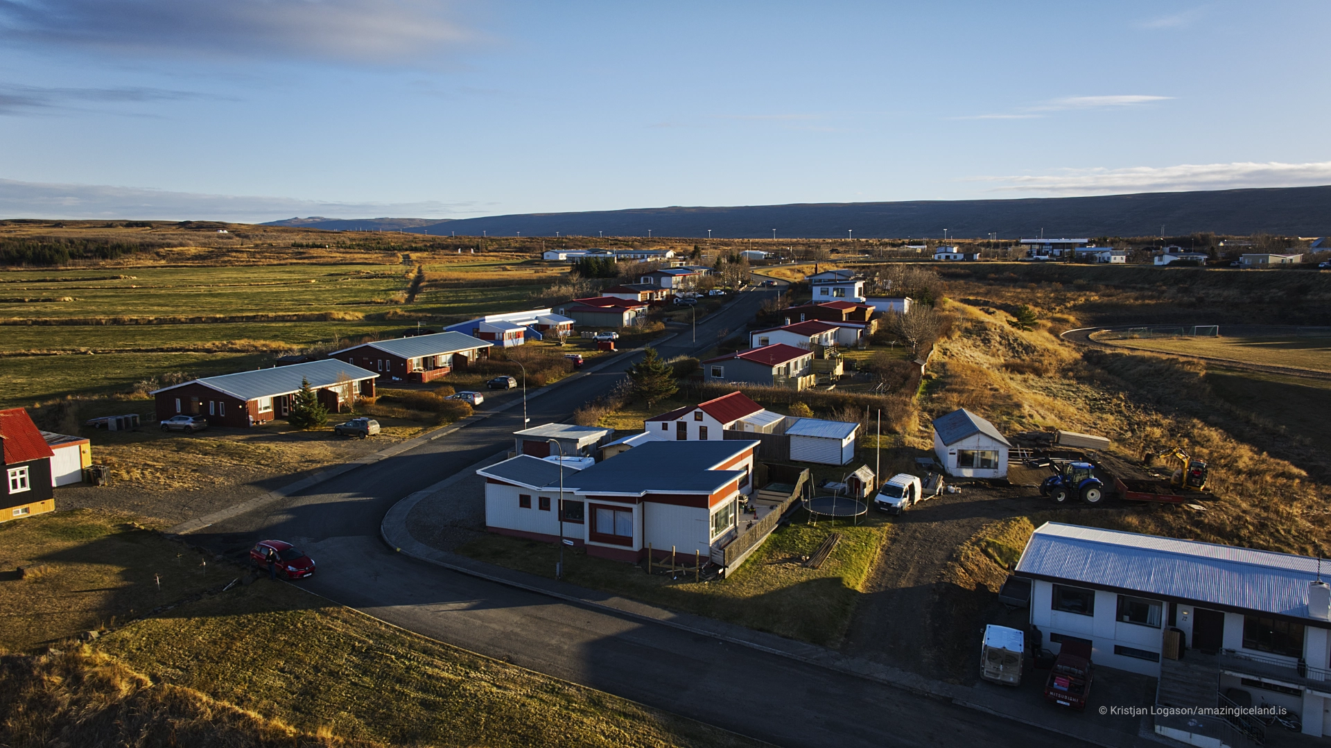
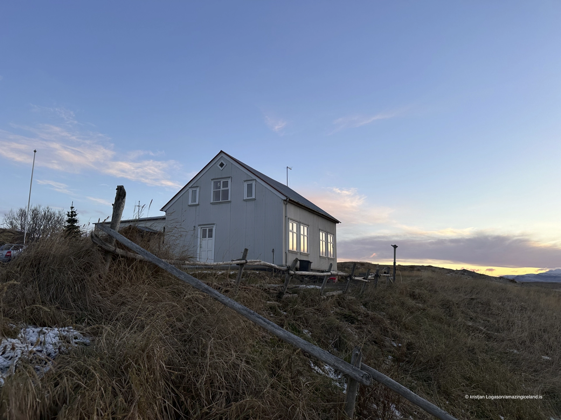
Unlike boom-driven towns shaped by single industries, Búðardalur expanded slowly. This incremental development produced a built environment that is practical, dispersed, and closely aligned with everyday needs rather than industrial concentration.
Economically, Búðardalur has long balanced agriculture, fishing, and service provision. The surrounding farms rely on the town for supplies, education, and administration, while the town depends on the agricultural landscape for continuity and identity. This mutual dependence reinforces Búðardalur’s role as a stabilizing presence within the region.
The town’s scale reflects this function. Buildings are low-profile, infrastructure is modest, and visual dominance remains with the surrounding land rather than the settlement itself. There is little separation between town and countryside; fields, shoreline, and residential areas transition gradually into one another.
Búðardalur provides a clear example of rural centrality—a place that exists not to grow large, but to remain useful.
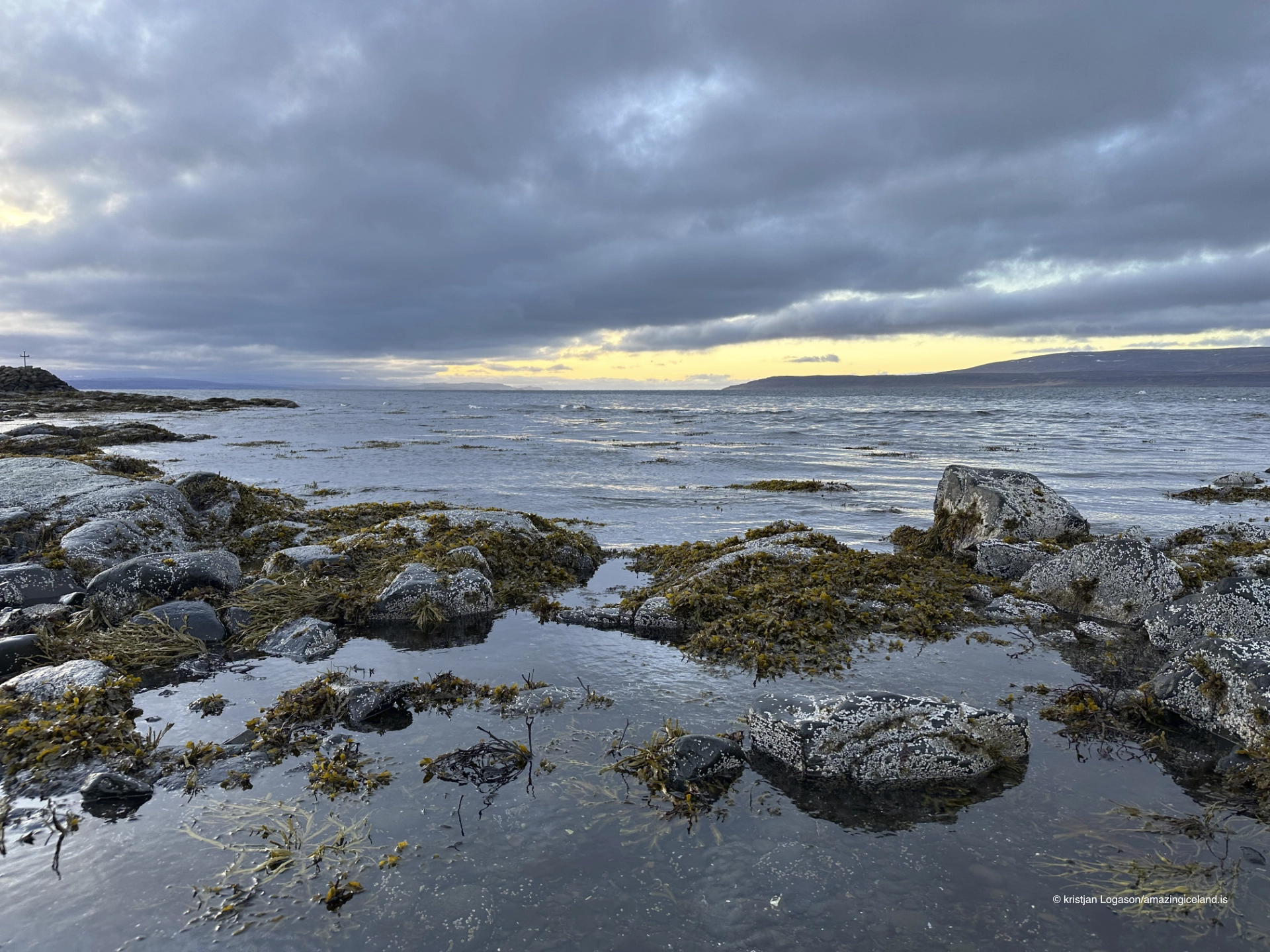
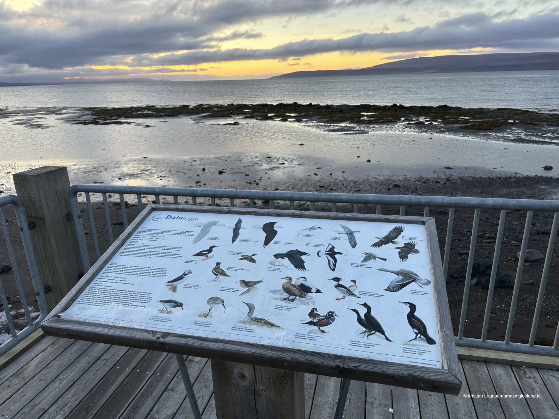
Climatically, Búðardalur benefits from relative shelter. The enclosing fjord and low relief reduce wind intensity compared to more exposed coastal towns, while proximity to Breiðafjörður moderates temperature extremes. These conditions supported early settlement and continue to influence quality of life.
Modern road connections have improved access to and from the town, linking it efficiently to the Snæfellsnes peninsula and the rest of West Iceland. Despite this connectivity, Búðardalur has not transformed into a transit hub or tourist center. Its rhythm remains local, seasonal, and restrained.
This restraint is part of its character. Búðardalur does not compete for attention; it functions.
Búðardalur ultimately illustrates how Icelandic towns emerge where land allows persistence rather than spectacle. Its significance lies not in landmarks or dramatic scenery, but in continuity—of service, settlement, and relationship with surrounding farms.
Interesting facts:
- Búðardalur is the main settlement of the Dalir region.
- The area is historically associated with Eiríkur rauði (Erik the Red).
- The town lies at the head of Hvammsfjörður, a sheltered fjord.
- Agriculture and fishing have coexisted here for centuries.
- Development has been gradual and service-oriented, not industrial.
Image Gallery

The Locomotive Elite
What do Donald Trump and Iceland’s Locomotive Elite have in common?
Far more than you think.
In The Locomotive Elite, you’ll uncover how a tiny clique in Iceland captured extensive control—of banks, courts, media, and even the central bank.
For decades they ruled, first democratically, then through corruption and in the end through crime, enriching themselves and their cronies while dismantling oversight.
The result?
One of the most spectacular financial collapses in modern history.
Photography tips:
- Emphasize transitions: Fields, shoreline, and town blending together tell the story.
- Soft light suits the area: Overcast conditions reflect the region’s understated character.
- Harbor simplicity: Avoid clutter—scale and calm are the subject.
- Seasonal contrast: Winter flattens the land; summer reveals its texture.
- Context over icons: The landscape matters more than individual buildings.
Good cameras for Iceland
Sony A7R V

Sony A7s lll

Canon R6

Nikon Z6 lll

Destinations nearby


Good to have in Iceland


