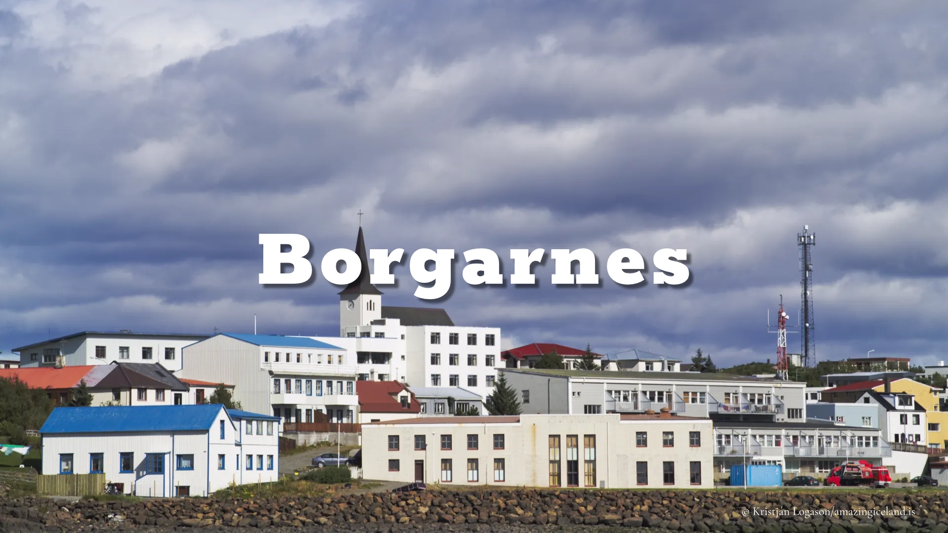
On the shores of Borgarfjörður, Borgarnes functions as both a regional service center and a historical reference point. Its importance lies less in size than in location—where land routes meet sheltered waters, and where Iceland’s settlement narratives intersect with modern infrastructure.
The location of Borgarnes
Latitude
64.5384
Longitude
-21.9206
Borgarnes
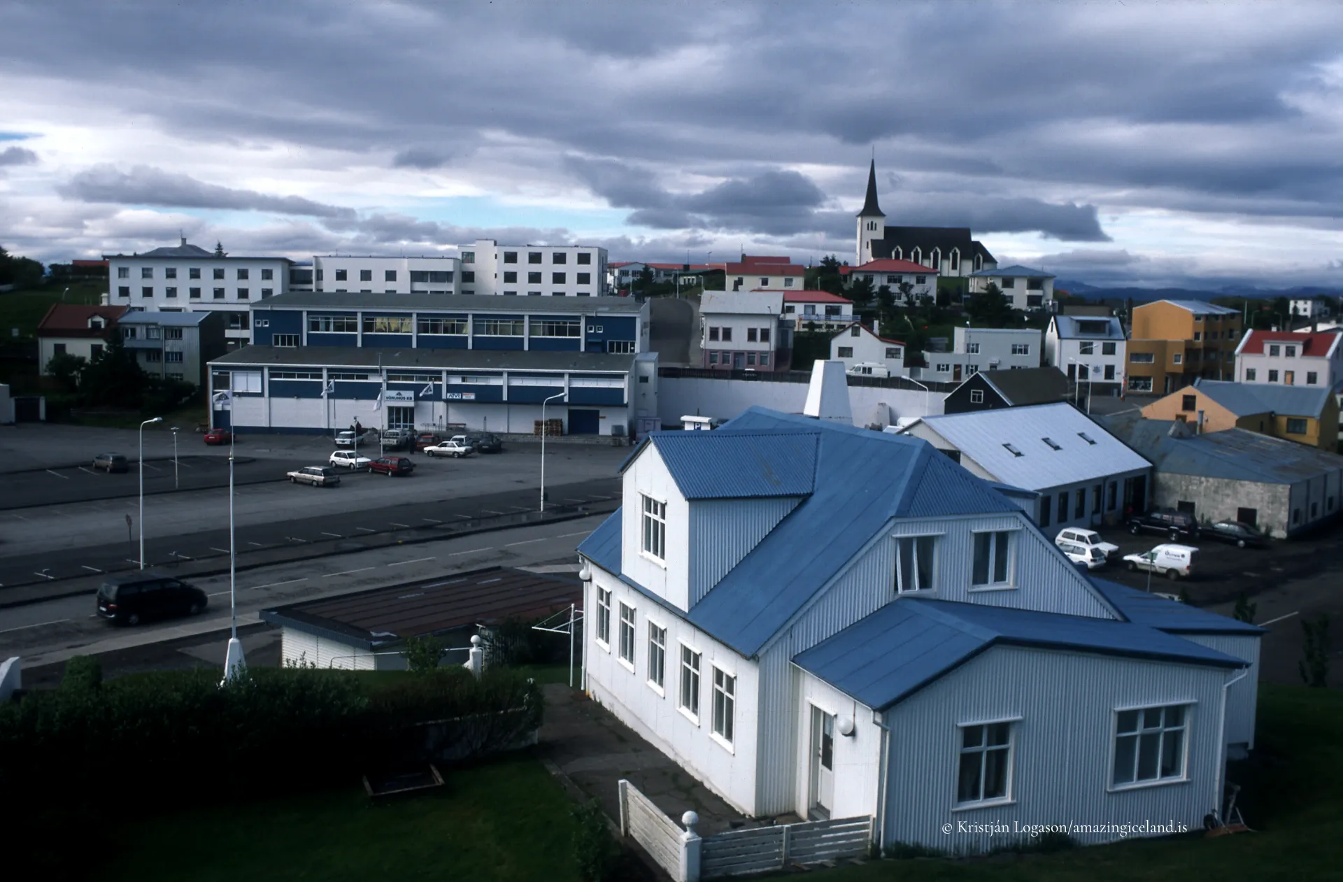
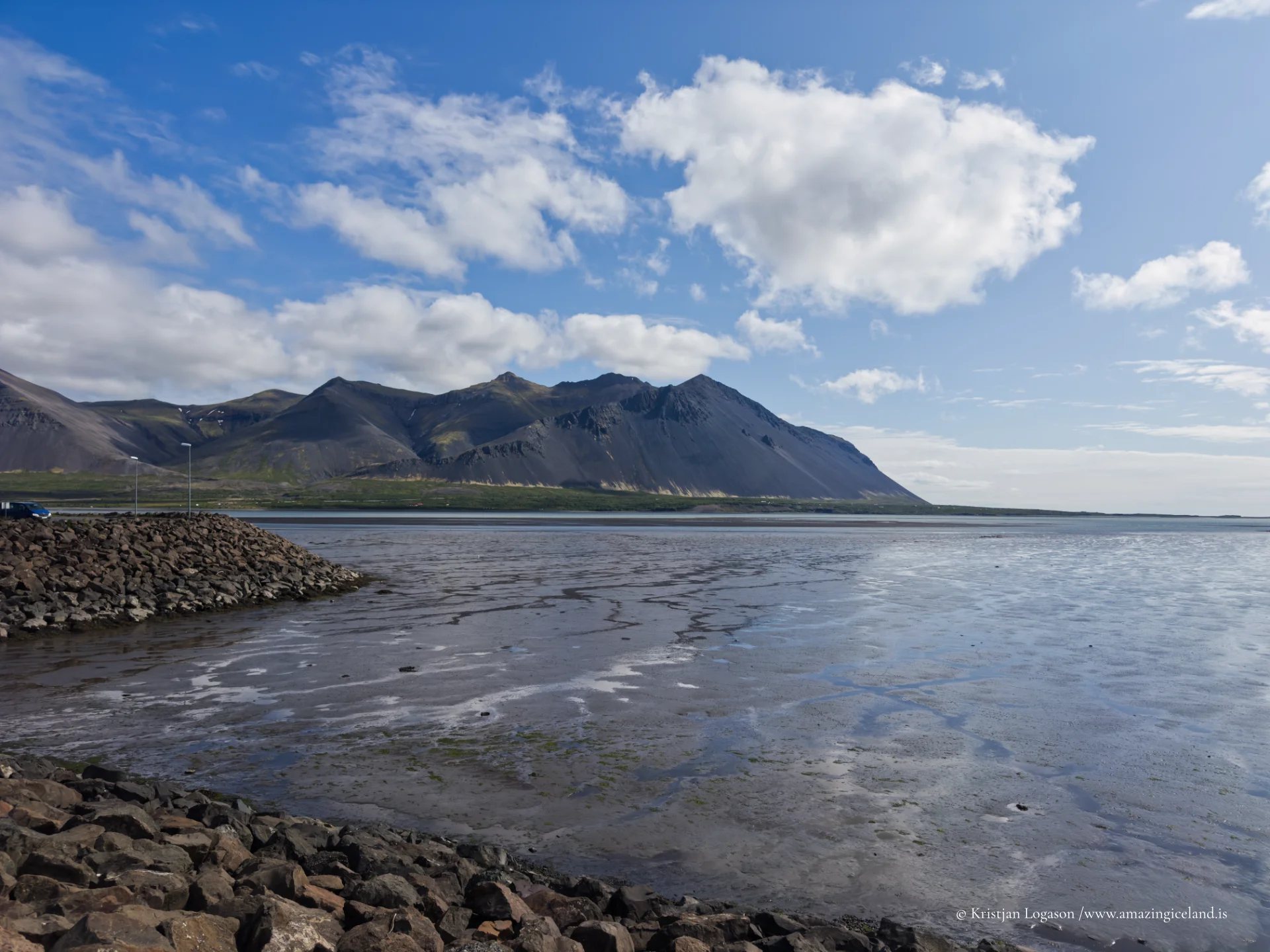
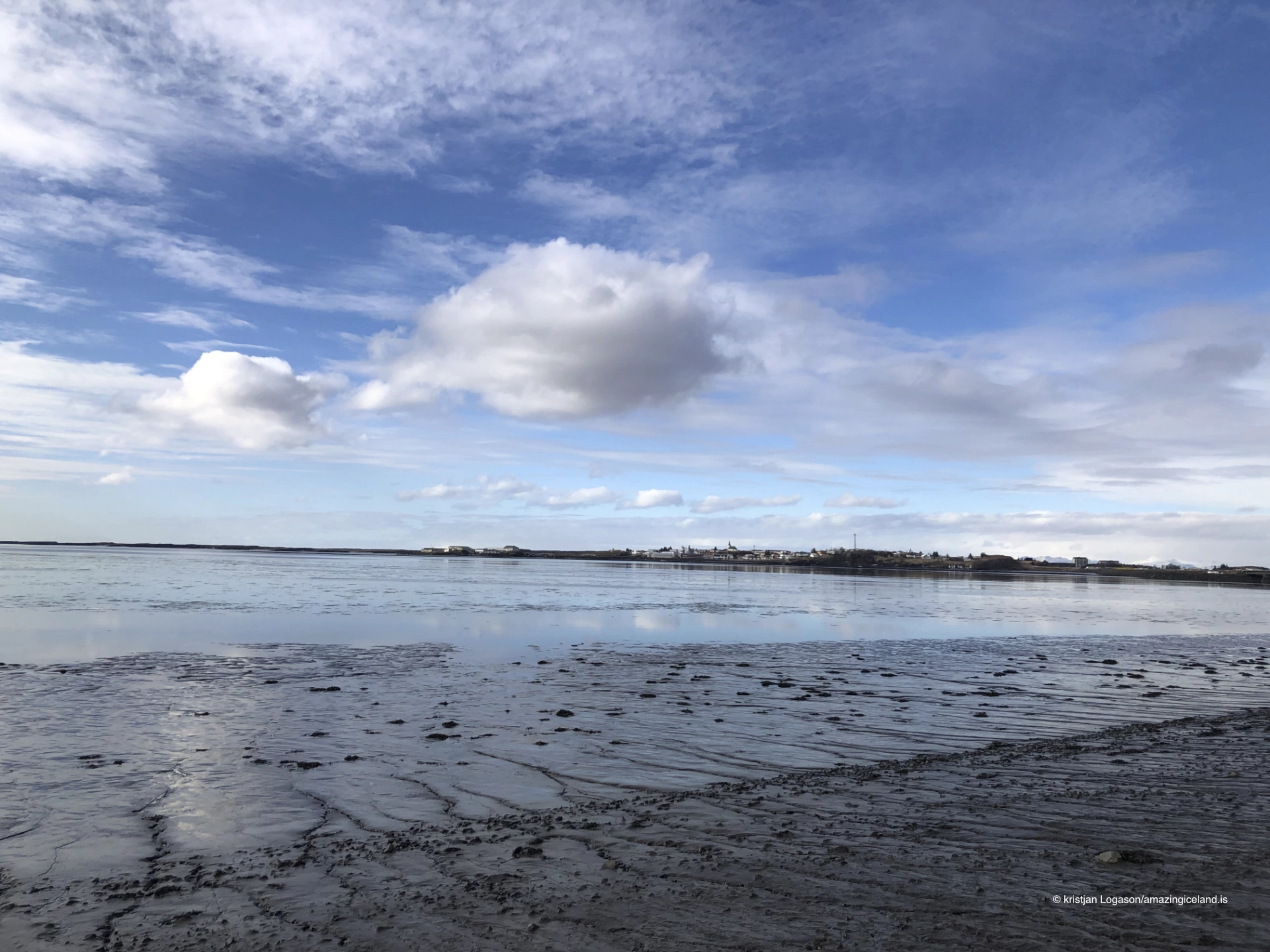
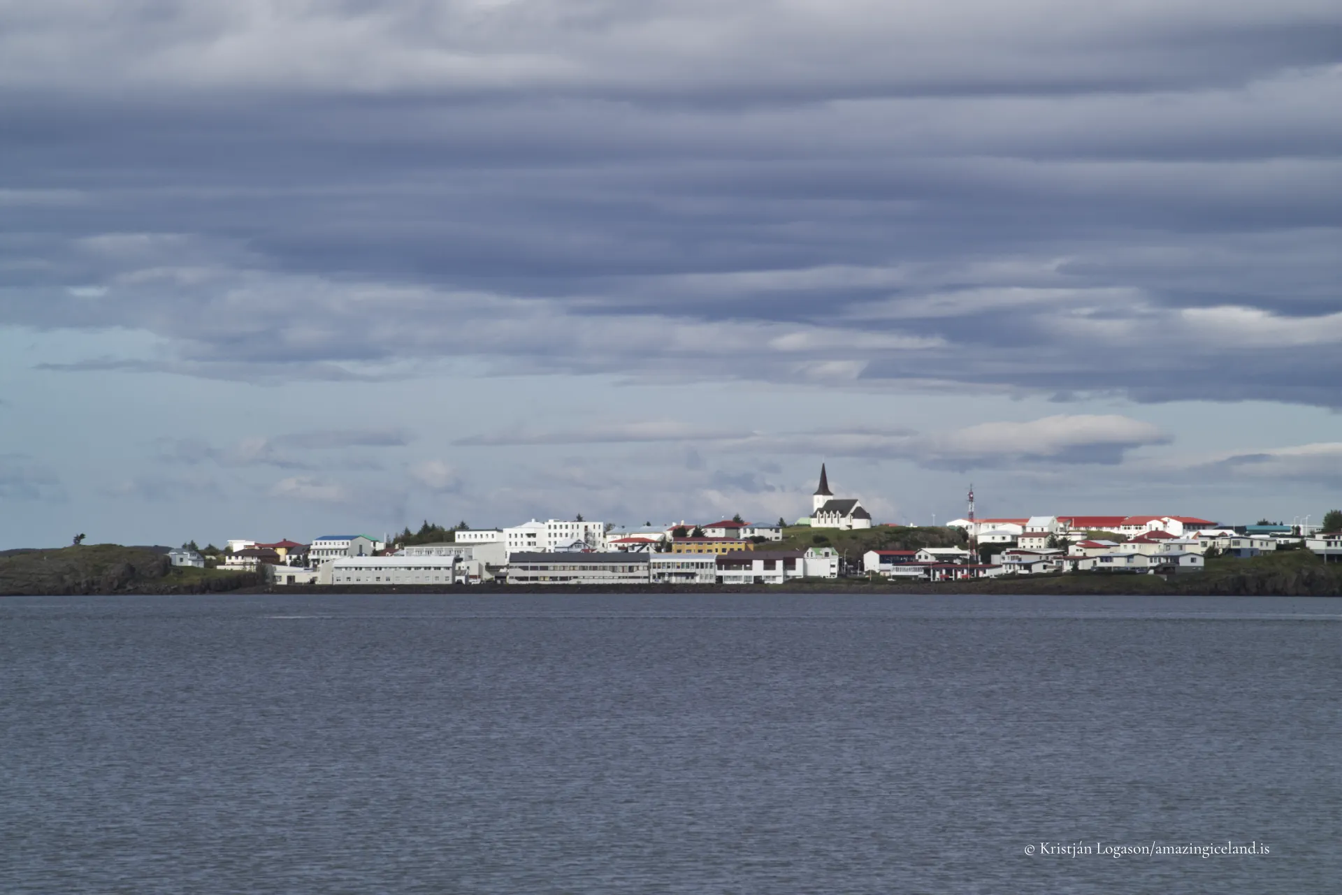
Borgarnes is situated in West Iceland on a low peninsula extending into Borgarfjörður, a broad and relatively sheltered fjord branching from the Atlantic. The town’s physical placement offers calm harbor conditions while maintaining direct access to inland routes, making it a natural node for movement and exchange.
Unlike many Icelandic towns constrained by steep fjords or narrow valleys, Borgarnes developed on comparatively gentle terrain. This allowed for coherent urban expansion, road construction, and service infrastructure without the spatial compression typical of more topographically restricted settlements.
From a geographical perspective, Borgarnes represents a transport-oriented settlement—a place whose growth and persistence are directly tied to connectivity rather than resource extraction alone.
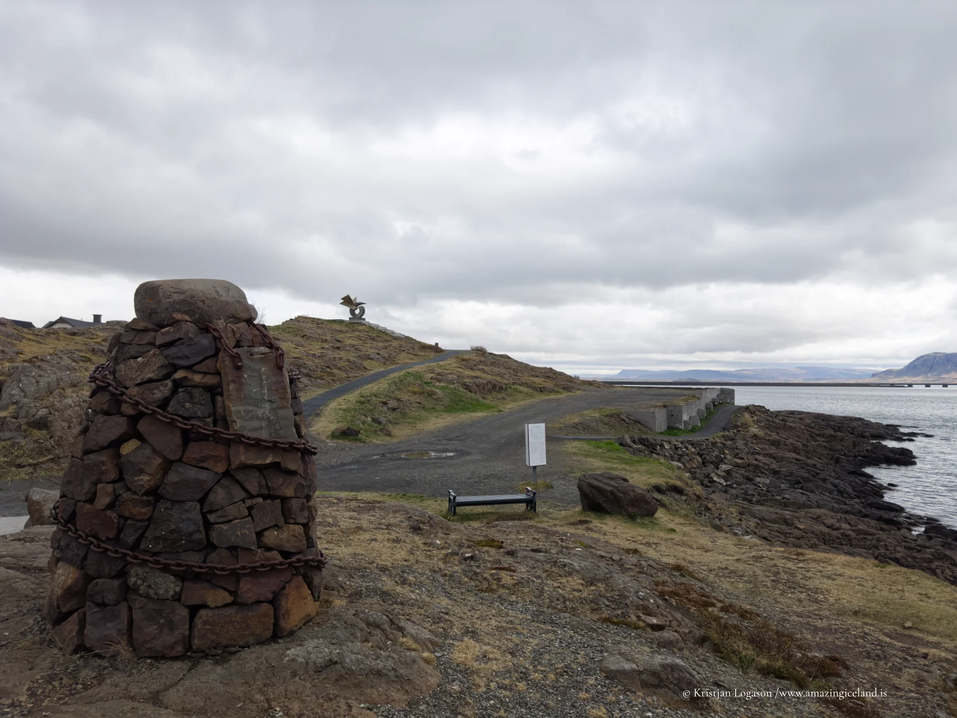
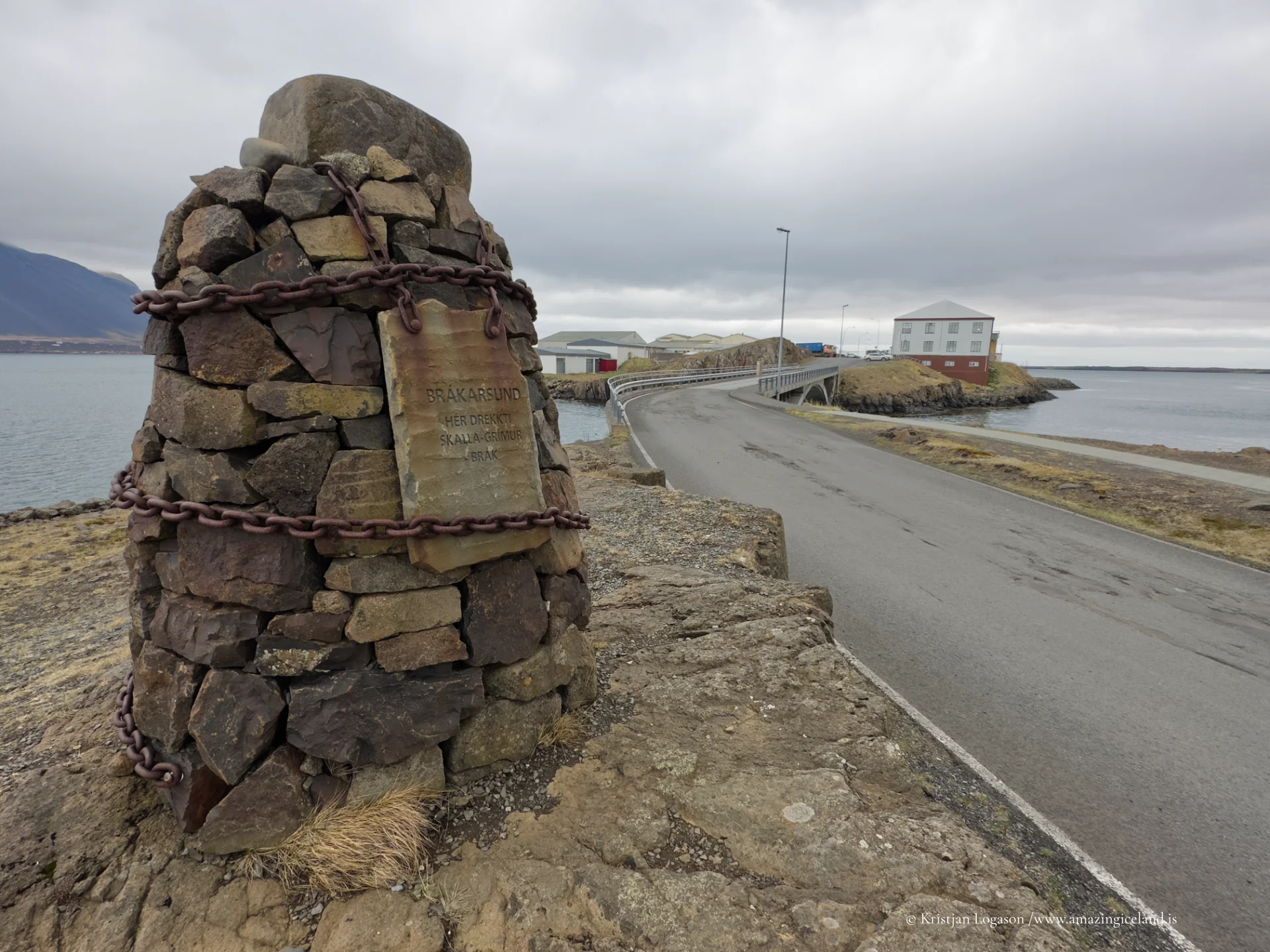
Historically, the Borgarfjörður region holds a central place in Iceland’s settlement history. The area is closely associated with early settlers and saga narratives, particularly those connected to Egill Skallagrímsson and his family. While Borgarnes itself developed much later as a town, its location places it within one of Iceland’s most narratively dense regions.
This literary and historical significance is interpreted today through institutions such as The Settlement Center, which contextualizes Iceland’s early settlement period and saga tradition. The center reinforces Borgarnes’ role as a place where abstract history is anchored geographically.
Rather than functioning as a preserved historic townscape, Borgarnes acts as a mediator of history—a place where narrative, education, and landscape intersect.
Economically, Borgarnes has long served as a service hub for surrounding rural areas, including Borgarfjörður, Dalir, and inland farming districts. Fishing, trade, education, and administration have all contributed to its stability, though none have dominated exclusively.
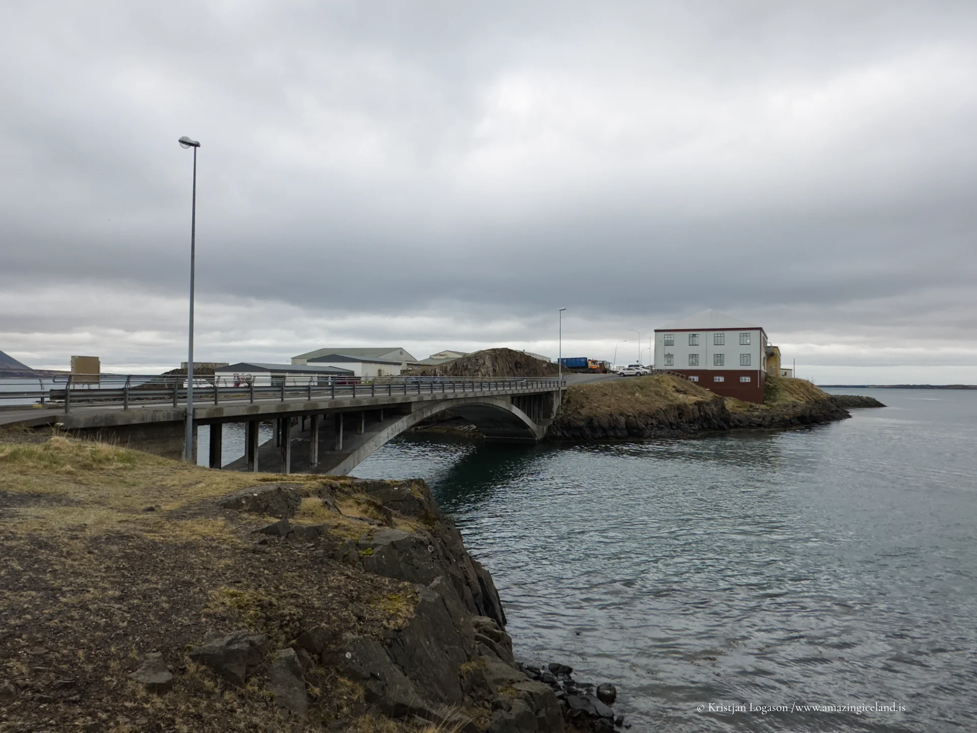
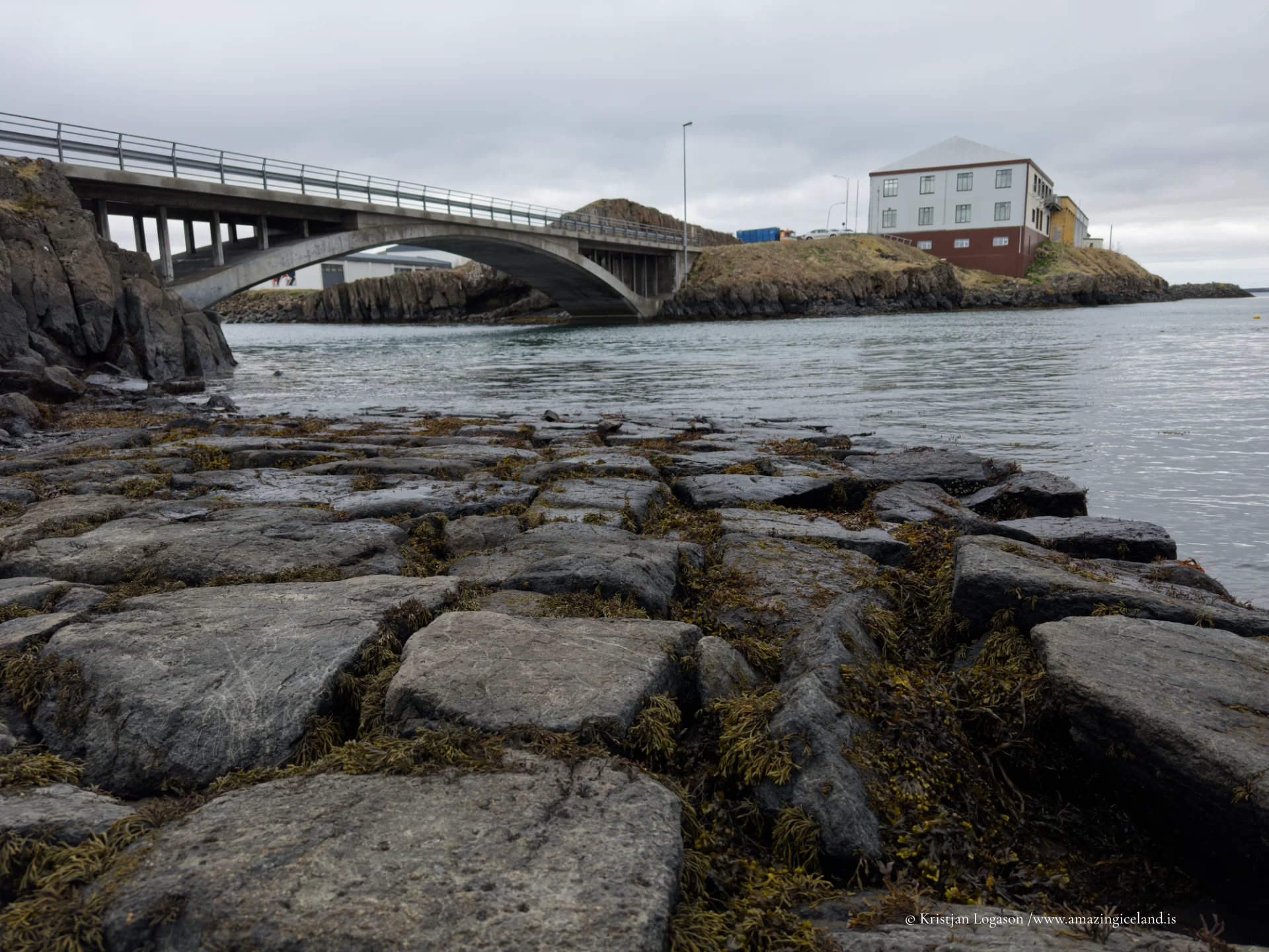
The town expanded significantly in the 20th century alongside improvements in road infrastructure, particularly with the construction of the bridge across Borgarfjörður. This development transformed Borgarnes into a key stop along Iceland’s Ring Road network, increasing accessibility without converting the town into a transient service stop alone.
Borgarnes thus balances local function with through-traffic, retaining a resident-oriented character despite constant movement through it.
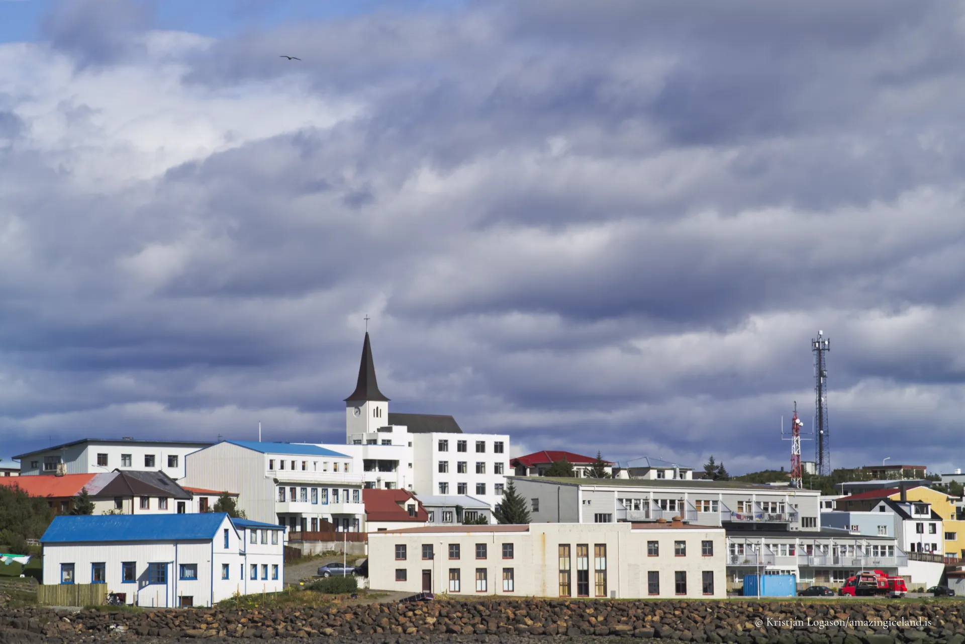
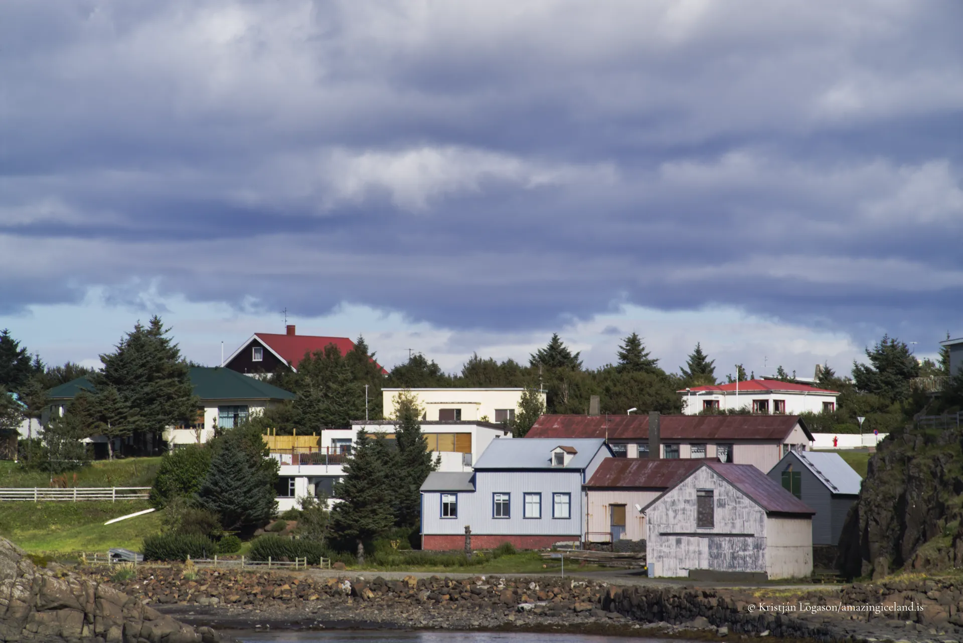
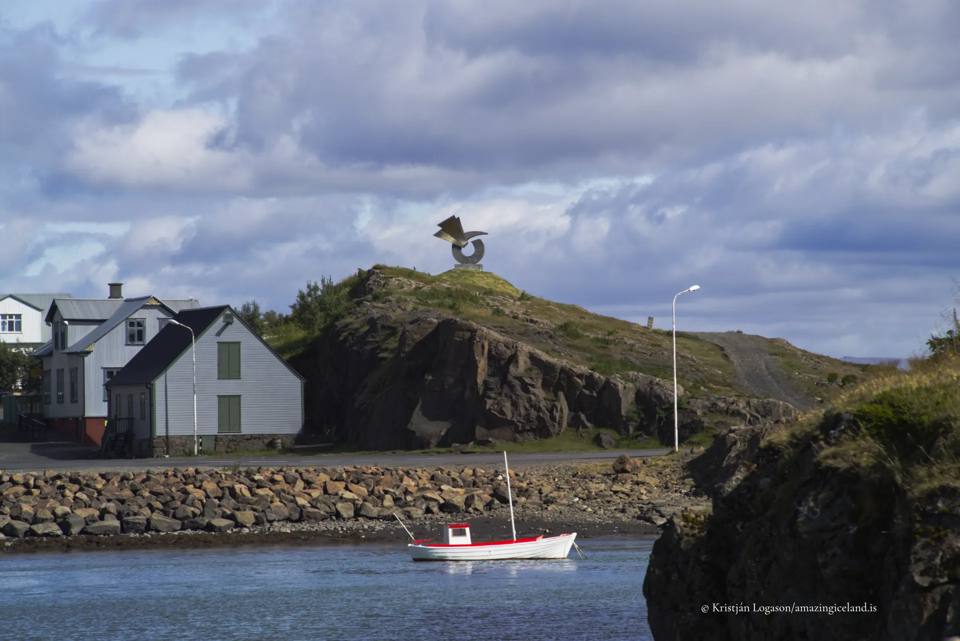
The built environment reflects this balance. Residential areas, schools, and services are integrated closely with the harbor and commercial zones, maintaining short distances and human scale. Visual dominance remains with the fjord and surrounding mountains rather than urban density.
Climatic conditions are moderated by the fjord, reducing exposure compared to open-coast settlements. This moderation supported early habitation and continues to shape everyday life, from harbor use to building orientation.
From a planning perspective, Borgarnes demonstrates how moderate terrain and strategic placement can produce long-term settlement resilience without reliance on singular industries.
Borgarnes ultimately functions as a connective town. It links regions, narratives, and economies, acting as a hinge between Iceland’s interior and its western coast. Its identity is cumulative rather than iconic—built from movement, memory, and service.
Interesting facts:
- Borgarnes lies on a peninsula in Borgarfjörður, West Iceland.
- The region is closely tied to Egill Skallagrímsson and saga history.
- The town hosts The Settlement Center, focused on early Icelandic history.
- Borgarnes is a key node along Iceland’s Ring Road network.
- Development has been driven by connectivity and services, not a single industry.
Image Gallery
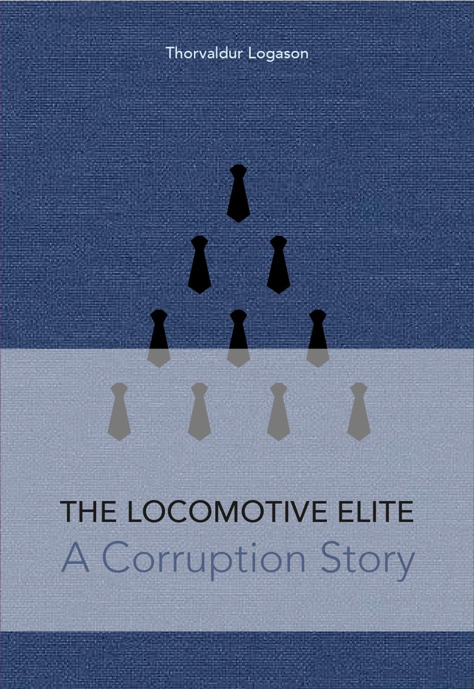
The Locomotive Elite
What do Donald Trump and Iceland’s Locomotive Elite have in common?
Far more than you think.
In The Locomotive Elite, you’ll uncover how a tiny clique in Iceland captured extensive control—of banks, courts, media, and even the central bank.
For decades they ruled, first democratically, then through corruption and in the end through crime, enriching themselves and their cronies while dismantling oversight.
The result?
One of the most spectacular financial collapses in modern history.
Photography tips:
- Use elevation: Hills above town reveal fjord geometry and settlement layout.
- Harbor framing: Boats and shoreline anchor compositions without clutter.
- Weather neutrality: Overcast light suits the town’s restrained palette.
- Include context: Roads, bridges, and fjord edges explain purpose and scale.
- Avoid landmark chasing: Borgarnes reads best as a whole, not as icons.
Good cameras for Iceland
Sony A7R V
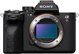
Sony A7s lll

Canon R6
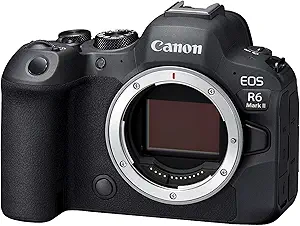
Nikon Z6 lll

Destinations nearby
Good to have in Iceland