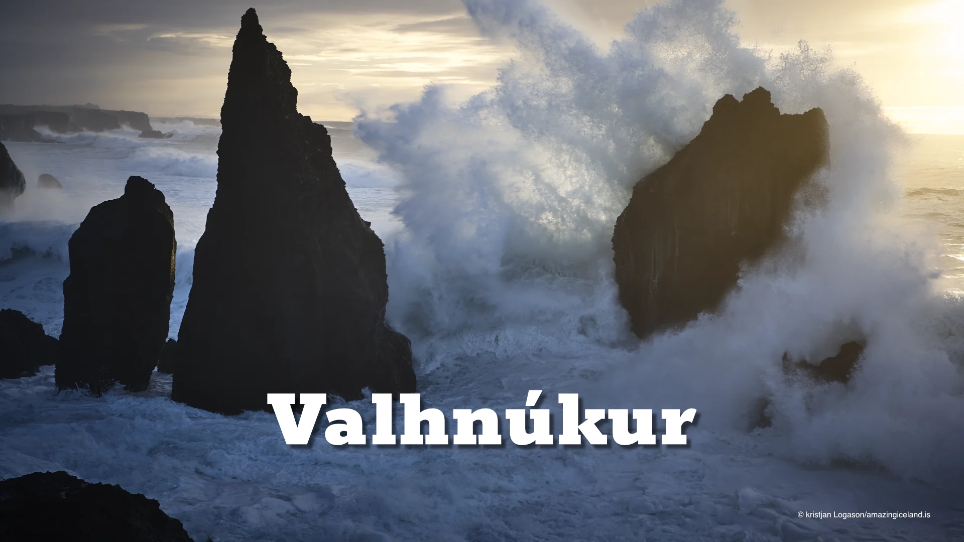
Valahnúkur rises at Reykjanestá, where the Reykjanes Peninsula meets the open Atlantic. The cliff is built from several different volcanic rock types — tuff, breccia and pillow lava — produced during a single eruption beneath water or ice.
Since then, the sea has been dismantling it. Atlantic surf attacks the base of the cliff while frost, weathering and earthquakes weaken the higher ground. Valahnúkur is therefore not simply an old volcanic formation but a landscape still being actively reshaped.
That continuing erosion also gave the cliff an important place in Icelandic maritime history. The country’s first lighthouse was built here in 1878, but the site eventually became too unstable and the lighthouse had to be replaced farther inland.
Valahnúkur is also closely connected with one of the major maritime disasters off Reykjanes in the twentieth century, when the British tanker _Clam_ stranded below the coast in 1950. Geology, navigation and the danger of the open sea all come together in the same small area.
The location of Valahnukur boulder ridge in Reykjanes
Latitude
63.8123
Longitude
-22.7169
Valahnukur boulder ridge in Reykjanes
A volcanic cliff built beneath water or ice
Valahnúkur records several different phases of one eruption. The cliff contains tuff, breccia and pillow lava, each formed under different conditions as hot magma came into contact with water or ice.
Pillow lava forms when lava erupts directly into water and cools rapidly, creating rounded or bulbous masses. Breccia develops where volcanic material breaks apart and accumulates in angular fragments, while tuff forms from ash and other fine material created when magma is rapidly chilled and shattered during explosive interaction with water.
Together, these layers make Valahnúkur a useful example of how very different volcanic structures can develop within the same eruptive system.
The cliff continued to change long after the eruption ended. Waves attack the base, while frost, rain and seismic activity weaken the rock above. That continuing erosion is one of the main reasons the first lighthouse built here could not remain in place.
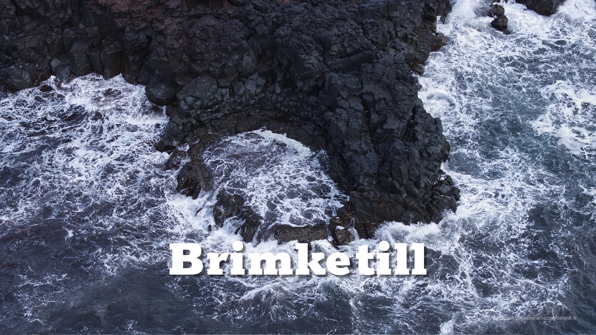
At the foot of the cliffs lies Valahnúkamöl, a ridge of large rounded boulders shaped and repeatedly reworked by powerful Atlantic surf. The boulder beach and the cliff belong to the same process: one is being broken down while the other records what the sea has removed.
The site of Iceland’s first lighthouse
In 1878, Iceland’s first lighthouse was built on Valahnúkur. The position gave the light a clear view over the dangerous approaches to Reykjanes, but it also placed the structure directly on a cliff already exposed to heavy erosion.
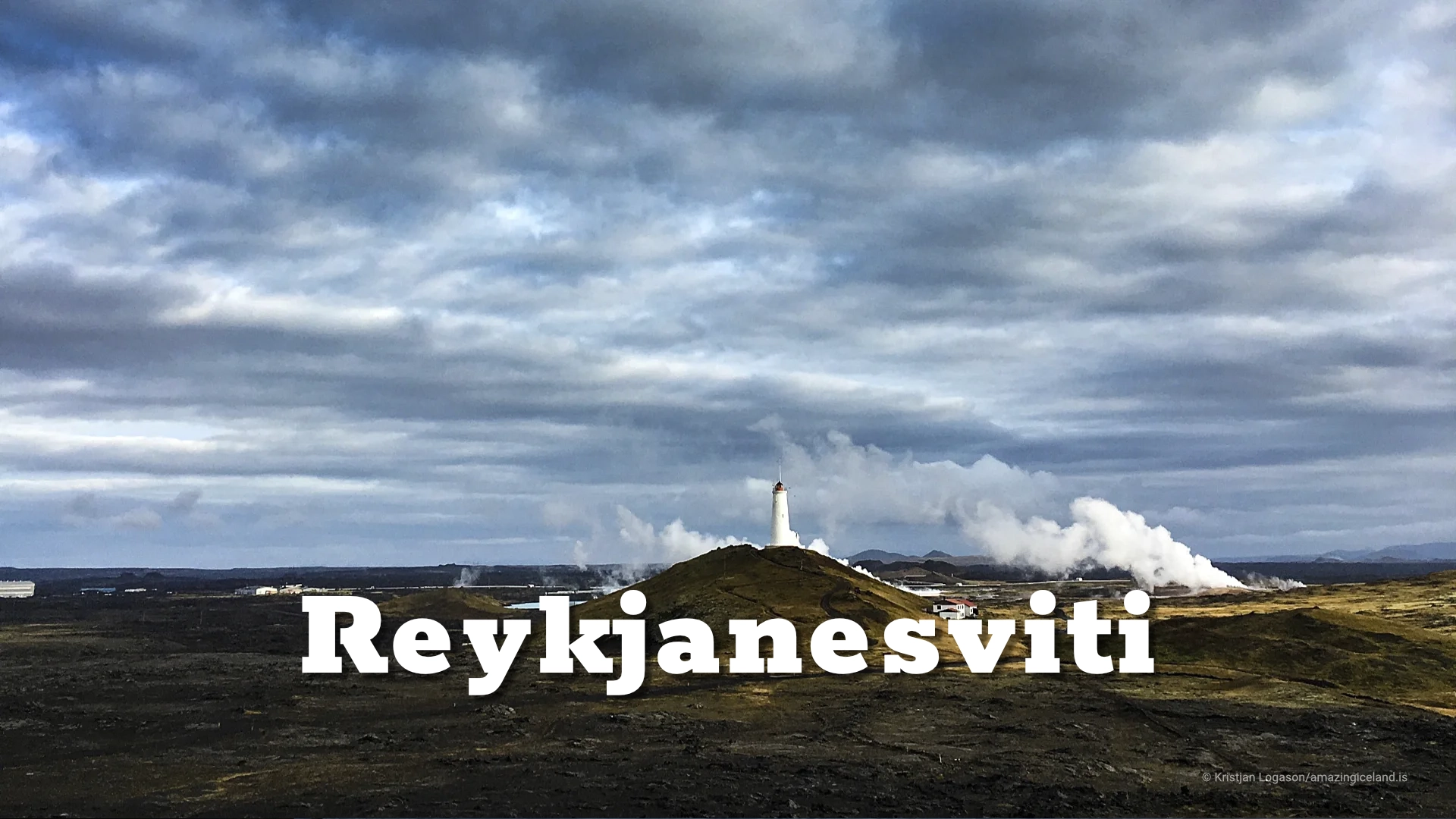
By the beginning of the twentieth century, marine erosion and earthquakes had weakened the site enough for the lighthouse to be considered at risk. A replacement was therefore built farther inland on Bæjarfell in 1907–1908, where the present Reykjanesviti stands.
Once the new lighthouse was operating, the original structure on Valahnúkur was no longer needed. On 16 April 1908, it was deliberately demolished with explosives.
The lighthouse story belongs primarily to Reykjanesviti, but Valahnúkur explains why the move became necessary. Iceland’s first lighthouse had been placed where a lighthouse was needed most, but also where the coastline itself was too unstable to support it permanently.

The wreck of the Clam
On 28 February 1950, the British oil tanker Clam stranded near Valahnúkur during severe weather. There were 50 people aboard.
Thirty-one attempted to reach land in lifeboats, but the boats capsized in the surf. Twenty-seven people died and four survived.
The remaining 19 people still aboard the tanker were rescued from shore by the Grindavík rescue team, which succeeded in getting a line to the ship. In total, 23 people survived.
The Clam disaster became one of the major maritime accidents associated with the Reykjanes coast in the twentieth century. Standing at Reykjanestá, the conditions behind the tragedy are easy to understand: the coast is exposed directly to the Atlantic, heavy swell reaches the cliffs with little protection, and the water below Valahnúkur can become extremely violent.
The story also gives the landscape another layer of meaning. What appears from land as a dramatic coastline has long been a serious navigational hazard for ships approaching southwestern Iceland.
Birds, Karlinn and Eldey
The cliffs around Valahnúkur support several seabird species. Northern fulmars, black-legged kittiwakes, herring gulls and ravens can all be seen in the area, while puffins were historically recorded here but have not been seen at the site for many years.
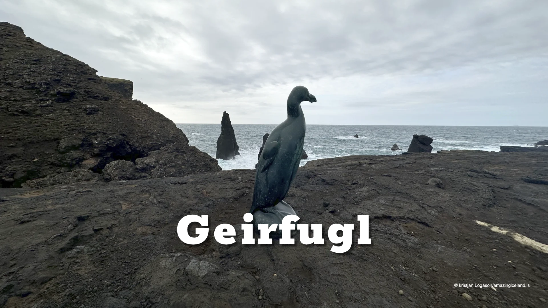
The wider bird history of Reykjanestá also includes the great auk. Its extinction story is told separately at the Great Auk Memorial nearby, but Eldey, where the last documented breeding pair was killed in 1844, is visible offshore from this part of the coast.
Closer to shore stands Karlinn, the isolated sea stack immediately off Reykjanestá. It is one of the most recognisable forms along this coastline and makes the ongoing erosion of Valahnúkur easy to understand.
Karlinn is not simply a rock standing in the sea. It is a remnant of the same coastline that waves have progressively cut back, leaving harder sections isolated offshore.
Together, Valahnúkur, Karlinn and Eldey create a layered view across the Atlantic, from the eroding cliff at your feet to one of the most historically important seabird sites in Iceland far offshore.
Visiting Valahnúkur
Valahnúkur stands within the wider Reykjanestá area, close to Reykjanesviti, the Great Auk Memorial and Volcano Man. The sites lie close together, but Valahnúkur is the feature that explains much of the geology and maritime history of the area.
Parts of the cliff can be approached on foot, but the ground is actively fractured and eroded. Cracks have appeared and reopened during periods of seismic activity, so marked paths, barriers and current access restrictions should always be respected.
The upper slopes should only be approached where access remains open and conditions allow. Loose volcanic ground, strong wind and exposed cliff edges can make apparently short distances considerably more serious than they look.
There is also little reason to treat reaching the highest point as the purpose of the visit. Valahnúkur is better understood by looking across the whole landscape: the different volcanic layers in the cliff, Valahnúkamöl below, Karlinn offshore and the Atlantic continuously reshaping the coast.
That is the real subject here. The volcano created the cliff, but the sea has been editing it ever since.
Interesting facts:
- Valahnúkur is built from tuff, breccia and pillow lava formed during one eruption beneath water or ice.
- Valahnúkamöl is the boulder ridge at the foot of the cliffs, shaped by heavy Atlantic surf.
- Iceland’s first lighthouse was built on Valahnúkur in 1878.
- The original lighthouse was replaced farther inland in 1907–1908 because erosion and earthquakes had made the site increasingly unstable.
- The first lighthouse was demolished on 16 April 1908.
- The British tanker Clam stranded near Valahnúkur on 28 February 1950.
- Of the 50 people aboard the Clam, 27 died and 23 survived.
- Karlinn and Eldey are both visible offshore.
Photography tips:
- Treat Valahnúkur, the sea and the offshore formations as one landscape rather than photographing the cliff in isolation.
- Use Karlinn as a strong visual anchor, particularly when waves are breaking around the base of the sea stack.
- Include Eldey in wider compositions when visibility is good. It adds both depth and historical context to views across the Atlantic.
- Low-angle light works particularly well on the cliff because it reveals the structure of the volcanic layers and gives more separation between tuff, breccia and darker rock.
- Overcast and unsettled weather often suits Reykjanestá better than clear skies. Heavy cloud, sea spray and side light reinforce the exposed character of the coastline.
- Valahnúkamöl can be especially dramatic in heavy swell, when waves break across the boulder ridge. Those conditions can produce strong photographs, but the active waterline must be given a wide margin.
- Longer focal lengths are useful for isolating Karlinn, Eldey or details in the cliff, while wider lenses work better when the aim is to show the relationship between Valahnúkur and the surrounding coast.
- Strong wind is common and can make tripod work difficult. Keep equipment secure and avoid standing close to cliff edges simply to improve a composition.