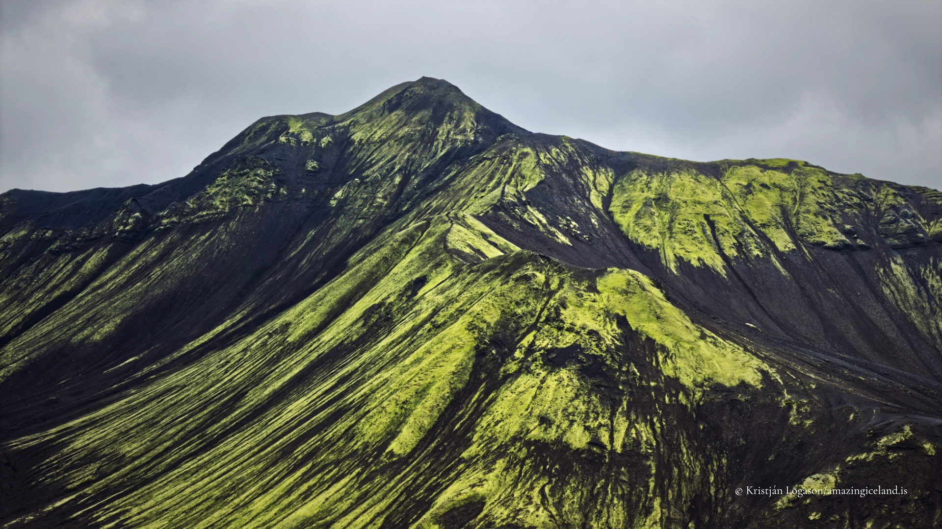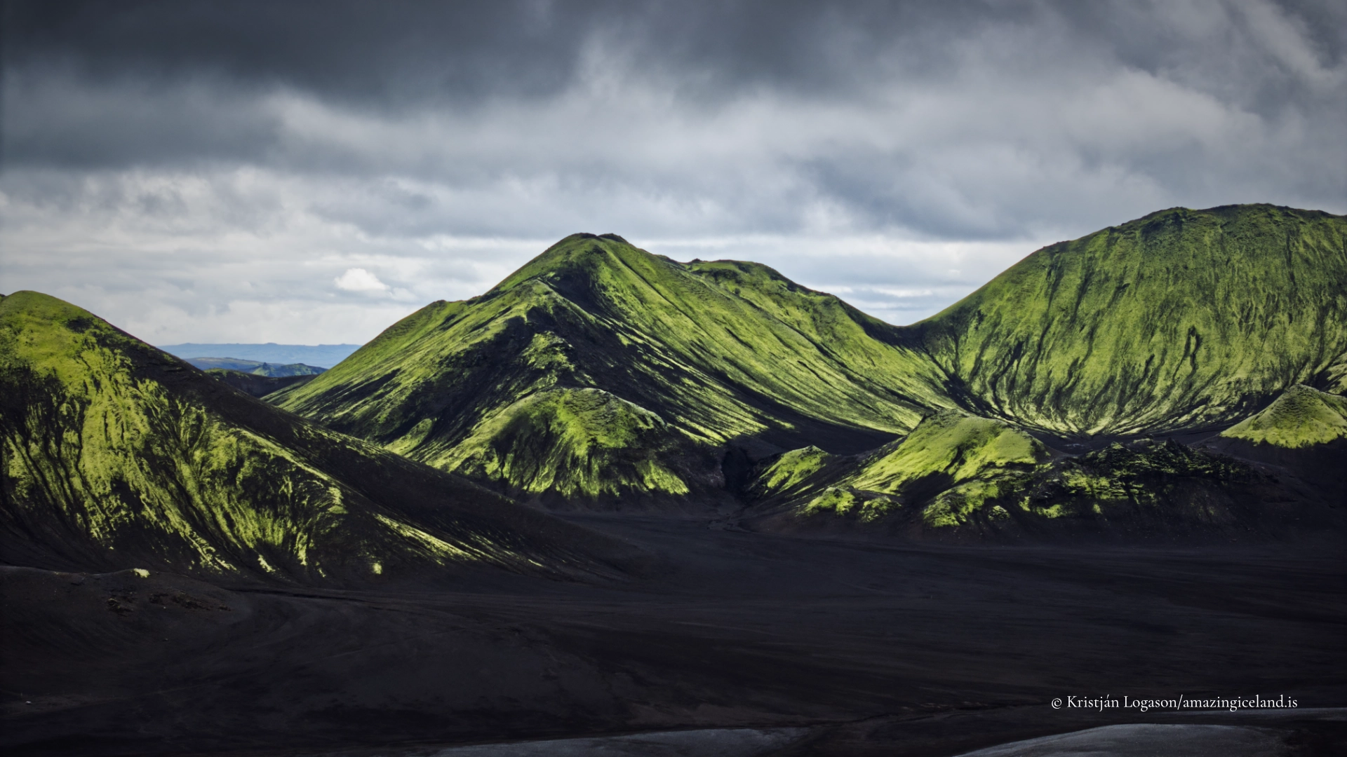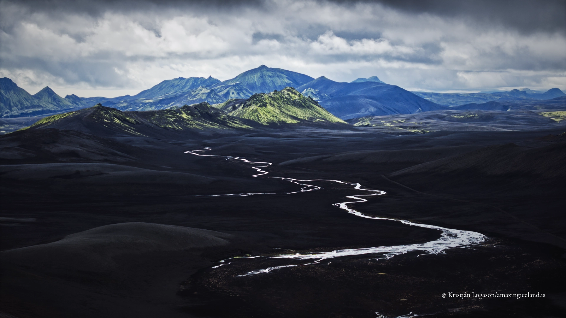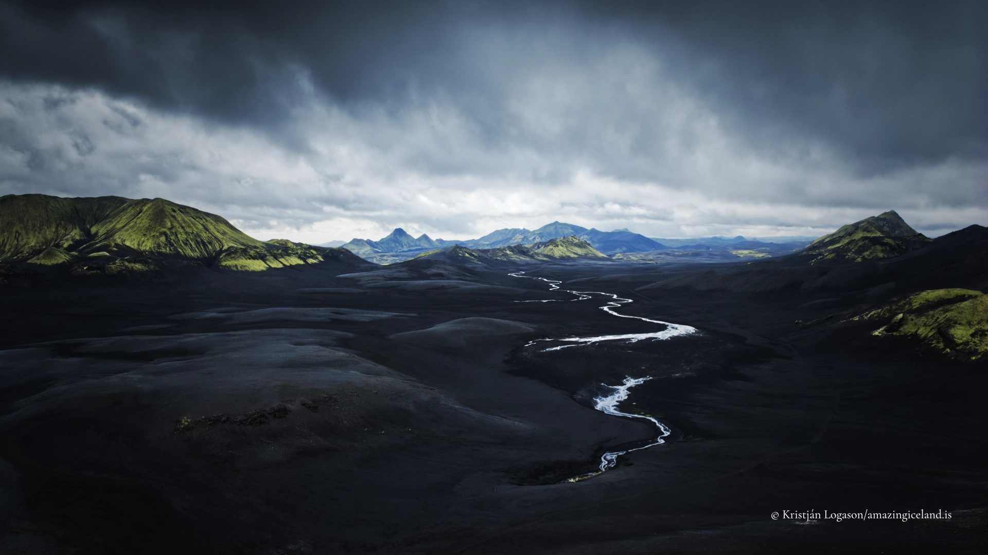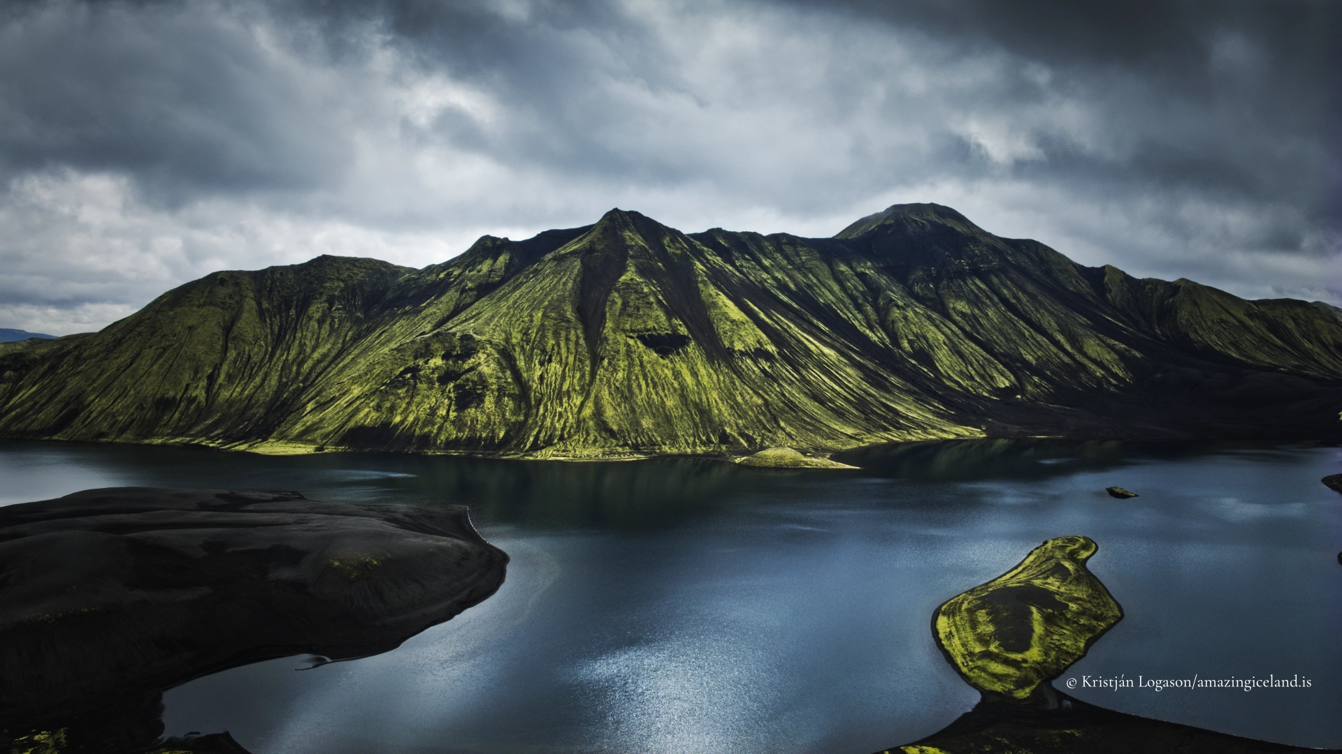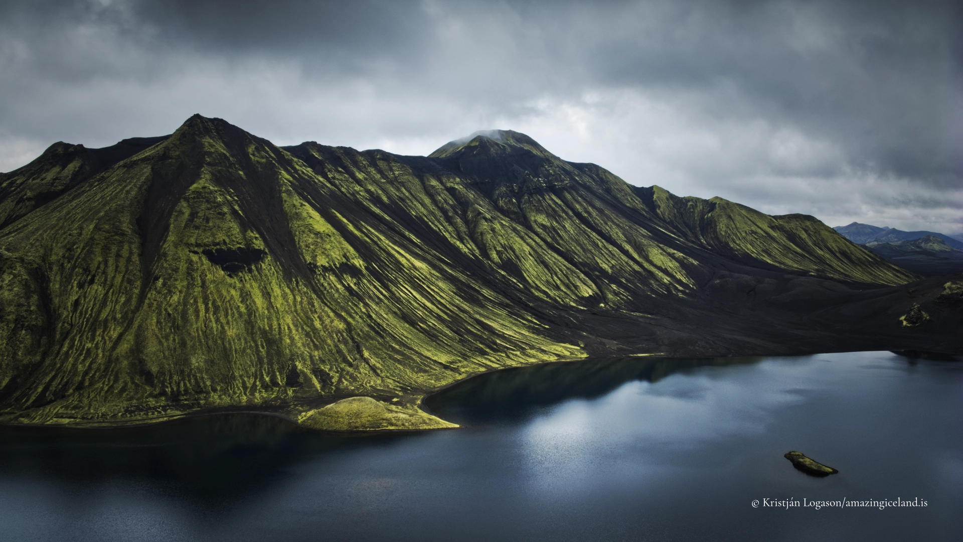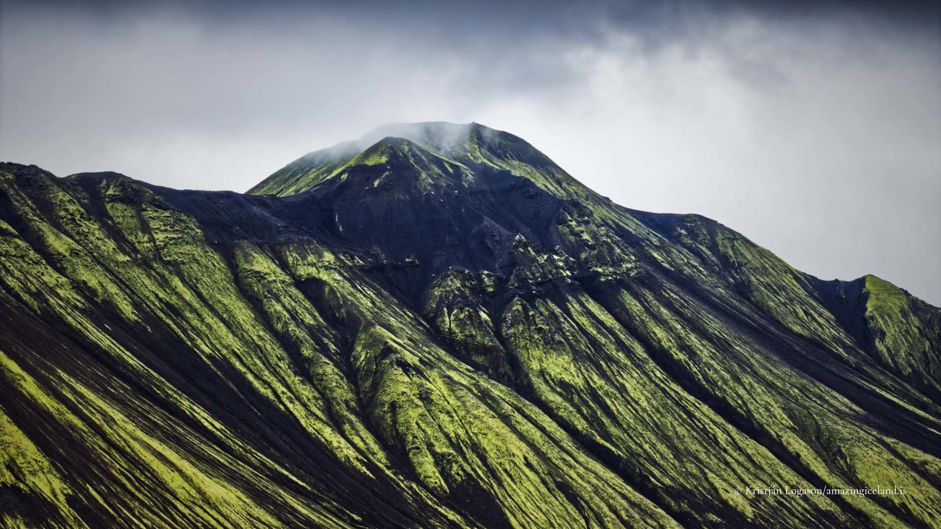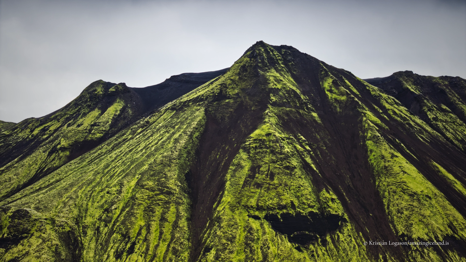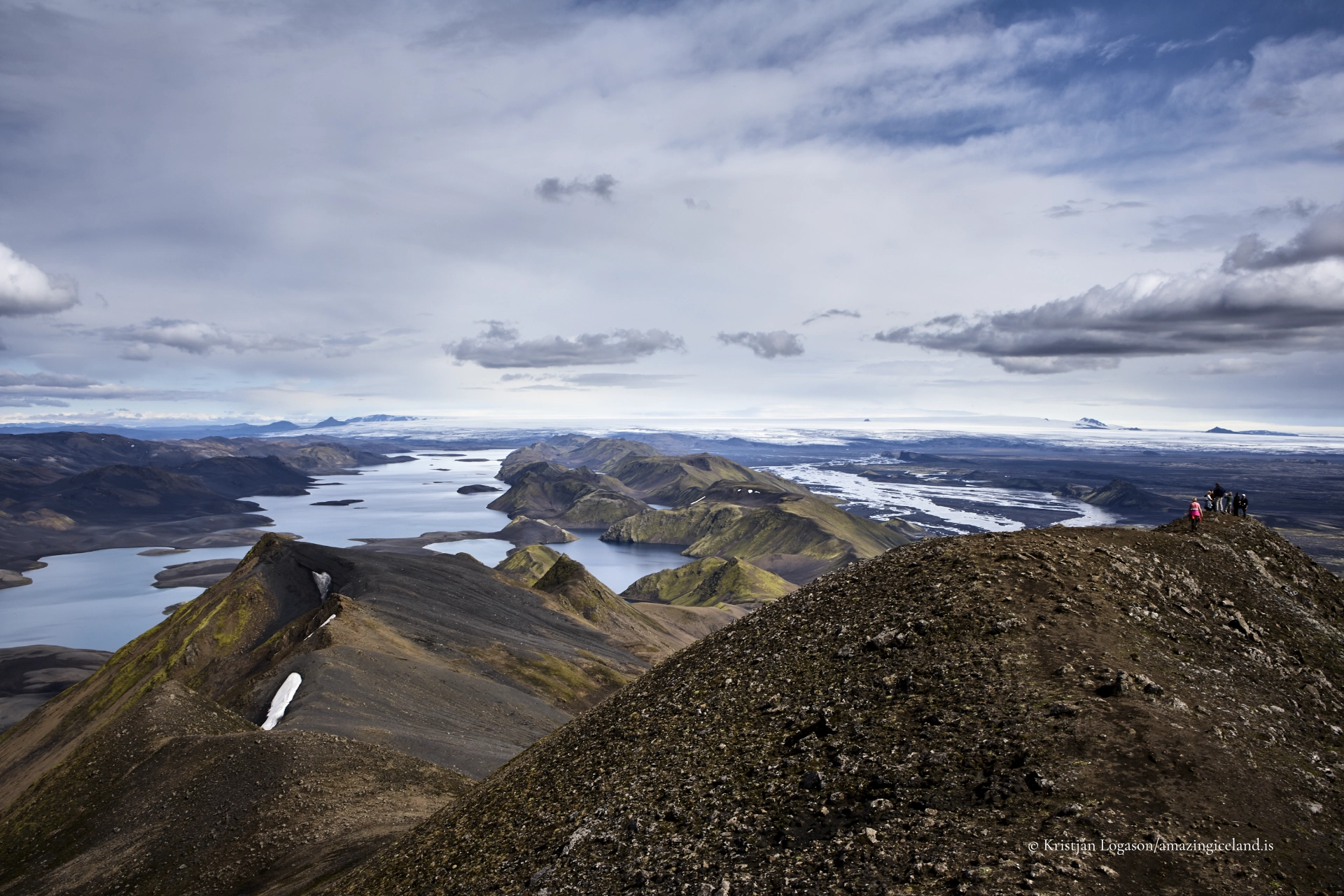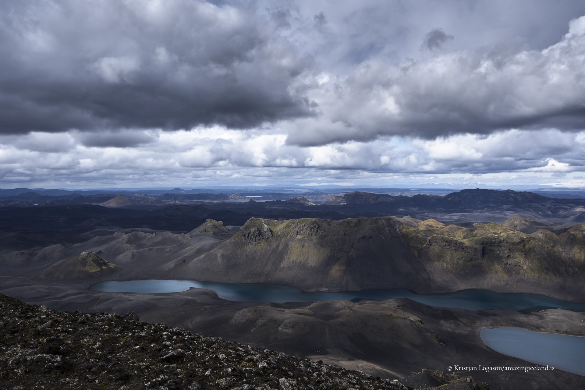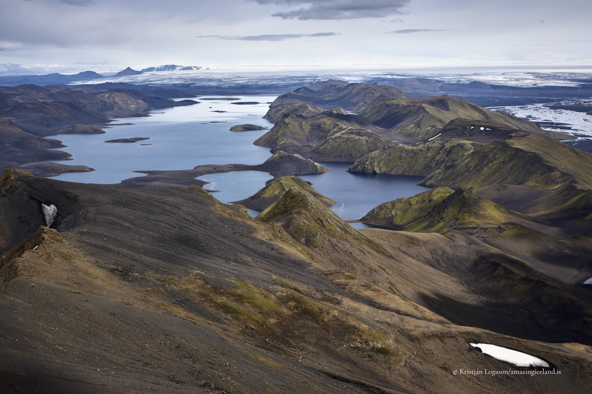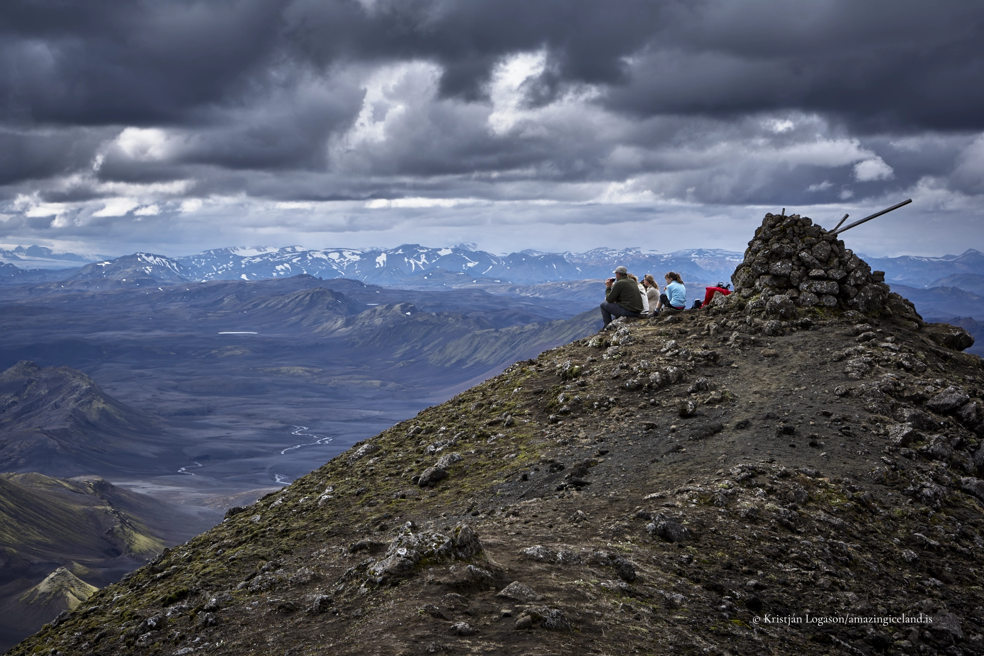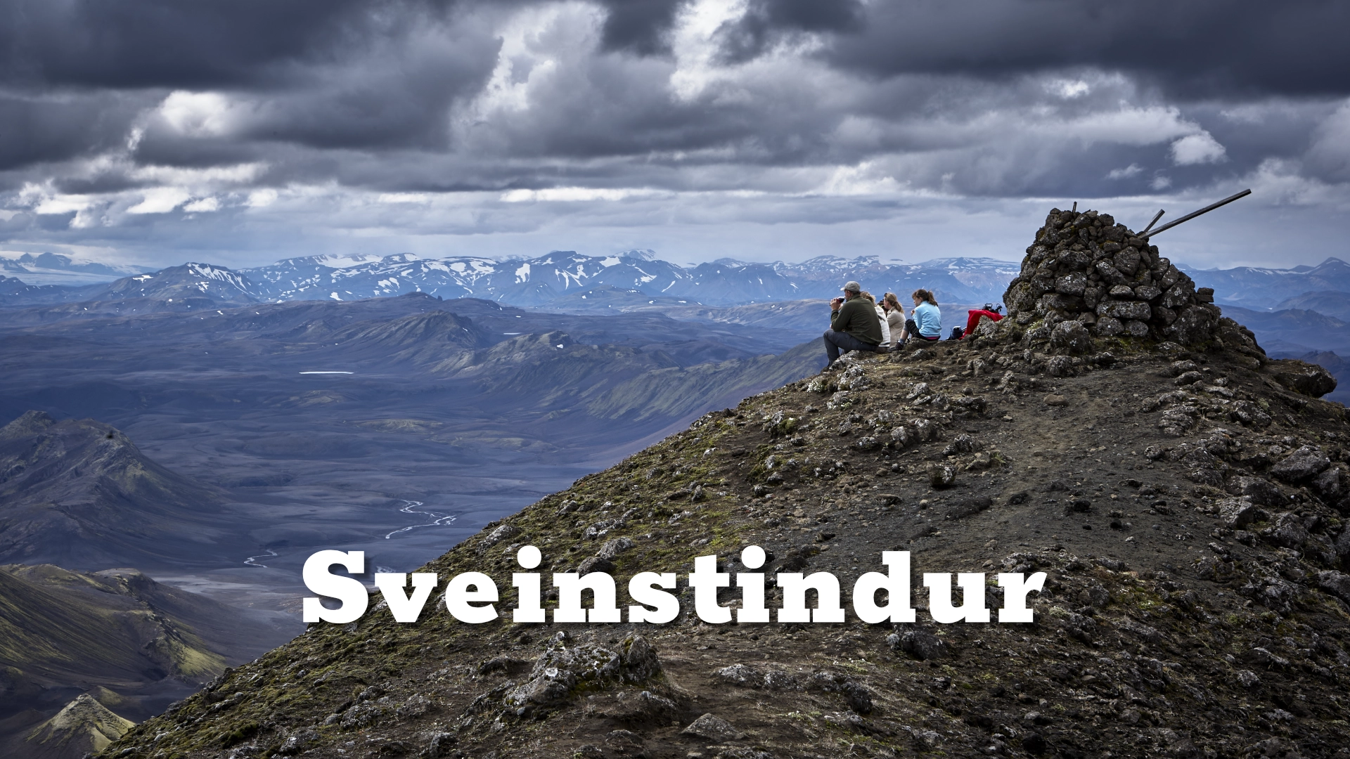
Sveinstindur stands near the southern end of Langisjór, where its position matters more than its height alone. From the summit, the long lake extends northeast between mountain ranges while Vatnajökull occupies the distant eastern horizon. In clear weather, mountains, glaciers, rivers, black sands and highland plains continue so far in every direction that the view can feel as though it embraces the whole island.

Reaching that panorama requires a real mountain ascent. The official route starts at Sveinstindur car park beside the campground and seasonal ranger facilities west of the mountain. It is marked and involves no technical climbing or hands-on scrambling, but it rises steeply over loose ground and gains approximately 400 metres. The eastern end of the upper mountain has genuine exposure and deserves particular care.

The trailhead is deep within the Highlands. Access is by F208 and F235, where changing road surfaces, sand and unbridged rivers make a proper 4×4 the sensible vehicle. The crossings can be straightforward in favourable weather and difficult after rain or during high water. Reaching the car park is therefore part of the undertaking, not merely the drive before the walk.

The location of Sveinstindur in the highlands of Iceland

Latitude
64.1026
Longitude
-18.4449

Sveinstindur in the highlands of Iceland

A summit above Langisjór

Sveinstindur reaches 1,089 metres above sea level. It rises prominently above the southern end of Langisjór and provides the elevation needed to understand the lake as a complete landscape rather than a sequence of shorelines and bays.

Langisjór extends northeast from the mountain between Fögrufjöll and Tungnaárfjöll. From lower ground, its islands, peninsulas and branching margins can conceal its overall form. From Sveinstindur, those parts align into one long lake surrounded by ridges, lava, sand and glacially influenced terrain.

Older descriptions sometimes identify Sveinstindur as a rhyolite mountain belonging to the Torfajökull volcanic system. That attribution is insufficiently supported and should not be used merely because parts of the mountain appear relatively pale. The visible landscape can be described without forcing Sveinstindur into an uncertain rock type or distant volcanic system.

The summit view is the mountain’s defining experience. Langisjór and Vatnajökull are the clearest major features, but the value of the panorama is not a checklist of theoretically visible landmarks. On a genuinely clear day, the horizon seems almost unlimited. Distant glaciers and mountains appear or disappear according to cloud, haze and light, and no single visit guarantees the same view.

The marked route from Sveinstindur car park

The official summit route begins at Sveinstindur car park west of the mountain. The car park, campground and seasonal ranger presence occupy the same visitor area, giving the ascent a clear starting point.

The marked route covers approximately two kilometres as a return walk and gains around 400 metres. Allow about two hours for the ascent in reasonable conditions; the descent is normally quicker. Total time depends on fitness, footing, weather and how long is spent at the summit. Photographers should allow considerably more than the minimum walking time.

The trail is normally straightforward to follow, including on the descent. It is nevertheless quite steep and classified as challenging by Vatnajökull National Park. Loose or soft ground can make progress slower than the short distance suggests, particularly when descending.

No hands-on scrambling is normally required. This is a steep mountain hike, not a technical climb. That distinction should not be mistaken for an easy outing: the location is remote, weather can change quickly and a short marked route can still become serious when visibility, wind or ground conditions deteriorate.

An average fit walker can undertake the marked route independently in suitable conditions, and a guide is not normally required. Independent hikers must still be able to assess the weather, carry appropriate clothing and decide when to turn back. Going alone is possible; it is not automatically the best choice for every visitor.

Steep ground and exposure near the summit

Most of the route is defined by steepness and loose ground rather than severe exposure. The eastern end of the upper mountain is different. There, a fall could have serious consequences, and hikers should not move towards an edge merely to improve the view or shorten a composition.

Wind can make exposed ground substantially more difficult. Low cloud removes the summit view and can also make orientation and judgement harder, even where trail markings remain visible. Rain, frost or lingering snow can alter the footing. If the upper mountain is hidden or conditions are deteriorating, turning back is a sound decision rather than a failed climb.

The descent requires attention. Loose material that feels manageable while ascending can be less secure under downhill weight, and tired walkers are more likely to misplace a foot. Keep enough time and energy for the return rather than treating the summit as the end of the route.

There is no reliable calendar date on which the trail becomes snow-free. Snow clears according to the winter, spring temperatures and summer weather, and it may remain late in some years. Current local information is more useful than a fixed seasonal promise.

Reaching the trailhead by F208 and F235

Sveinstindur is reached by travelling on F208 and turning onto F235 towards Langisjór. The road is seasonal, remote and subject to rapid changes. Visitors must check current road and weather information before entering the area and again if conditions change during the day.

A proper 4×4 is recommended for the approach. River crossings vary with rainfall, snowmelt and upstream conditions. A crossing that is modest on one journey can become difficult on another, and the presence of tyre tracks is not proof that a river is safe for a particular vehicle or driver.

Loose sand is another practical concern. A two-wheel-drive vehicle can become stuck even where the road does not initially look dramatic. Washboards, stones and rough sections also require low speed and careful vehicle placement. Four-wheel drive improves capability but does not guarantee passage through deep or fast water.

Never enter a river without assessing its depth, current, bed and exit. If the crossing cannot be judged confidently, turn back. Rental conditions may impose additional restrictions, and emergency assistance in this part of the Highlands can take time.

The car park coordinate on this page identifies the start of the summit route rather than the summit itself. The campground and seasonal ranger facilities are here. They should not be confused with Sveinstindur hut beside Skaftá, which lies farther away and serves a different backcountry route.

Two places carrying the Sveinstindur name

The summit car park near Langisjór and Sveinstindur hut beside Skaftá are separate locations. The marked short ascent described on this page begins at the car park beside the campground and ranger facilities.

Sveinstindur hut is associated with the longer walking route through the Skaftá landscape towards Skælingar and Eldgjá. That journey covers approximately 30–40 kilometres and normally takes two or three days. It is a remote backcountry undertaking requiring different planning from the short summit hike.

It is possible to approach the wider Sveinstindur area from the hut side, but visitors should not interpret the hut as the standard trailhead for the official summit route. When reading maps or route descriptions, check which Sveinstindur location is actually meant.

Weather, visibility and the summit experience

Sveinstindur rewards clear weather more than persistence in poor visibility. The mountain can still be climbed when cloud hides the wider landscape, but the defining reason for the ascent is the view. Waiting, changing plans or returning another day may be more worthwhile than continuing into cloud merely to stand on the summit.

Conditions can also differ sharply between the car park and the top. Carry insulating and waterproof layers even when the start feels mild. Strong sunlight and wind are also common highland factors, and there is little shelter on the upper route.

In clear conditions, the summit reveals Langisjór as a whole and places it within a far greater landscape. Vatnajökull forms the dominant glacial presence to the east. Beyond the lake, repeating ridges, river courses, sands and distant ice merge into a panorama whose scale is difficult to reproduce in a single photograph.

The experience is not dependent on identifying every distant peak. Its strength lies in the relationship between near and far: the marked route below, the lake beneath the mountain, the ranges enclosing it and the apparently endless Icelandic interior beyond.

Hiking within Vatnajökull National Park

Sveinstindur and Langisjór lie within Vatnajökull National Park. Visitors should follow marked routes, avoid damaging vegetation or creating new tracks, and carry out everything they bring into the area. The remoteness and absence of barriers do not mean that the landscape is unmanaged.

Drone pilots must check the national park’s current requirements and any temporary restrictions before flying, as well as complying with Icelandic aviation rules. Operate from secure ground away from exposed edges, other visitors and wildlife. Conditions at the summit may be too windy for safe flight even when a drone can be launched lower on the mountain.

Interesting facts:

    • Summit height: Sveinstindur reaches 1,089 metres above sea level.
    • Marked summit route: The official trail begins at Sveinstindur car park beside the campground and seasonal ranger facilities.
    • Short but steep: The return route is approximately two kilometres with about 400 metres of elevation gain.
    • No scrambling required: The ascent is a steep marked hike and normally requires no hands-on climbing.
    • Eastern exposure: Genuine fall exposure is concentrated mainly near the eastern end of the upper mountain.
    • Two Sveinstindur locations: The summit car park near Langisjór and Sveinstindur hut beside Skaftá are separate places.
    • Protected landscape: The mountain lies within Vatnajökull National Park.

Image Gallery

Photography tips:

    • Photograph during the ascent as well as from the summit. The changing height gradually reveals how Sveinstindur rises above Langisjór.
    • Use a wide or moderate-wide lens to show the relationship between the lake, surrounding ranges and Vatnajökull.
    • Photograph along Langisjór's northeast–southwest axis to communicate its full elongated form.
    • Use moderate telephoto focal lengths to separate islands, peninsulas, river channels and repeating ridges that disappear in an extremely wide frame.
    • Include Skaftá or the surrounding volcanic plains when visibility and viewpoint make them clearly identifiable.
    • A person on secure ground can establish the scale and steepness of the upper route, but should never be positioned near an edge for effect.
    • Expect high contrast between bright water or sky and dark highland ground. Bracket exposures when necessary rather than lifting every shadow aggressively.
    • Retain some atmospheric haze. Excessive dehazing can flatten distance and make far glaciers and mountains look unnaturally close.
    • Photograph trail markers and the route crossing the mountain when they help explain the ascent rather than only presenting the summit panorama.
    • Stop moving before using the camera on steep or loose ground. Do not compose while walking.
    • Remain away from exposed or unstable edges, especially at the eastern end. A clear foreground is never worth a fall.
    • Treat aerial images as complementary to the actual summit view. A drone can explain the mountain's position beside Langisjór, but it cannot replace the experience of seeing the landscape from the marked route.

Destinations nearby

Axlafoss waterfall
Laugahraun is a young basaltic lava field at Landmannalaugar, formed during the 1477 Veiðivötn eruption. Dark, fractured, and still sharply textured, it stands in direct contrast to the surrounding rhyolite mountains and geothermal slopes. More than a backdrop, Laugahraun is a defining structural element of the Landmannalaugar landscape, shaping access, water flow, and human movement through the area.
Kerlingafjöll geothermal area