Langisjór highland lake
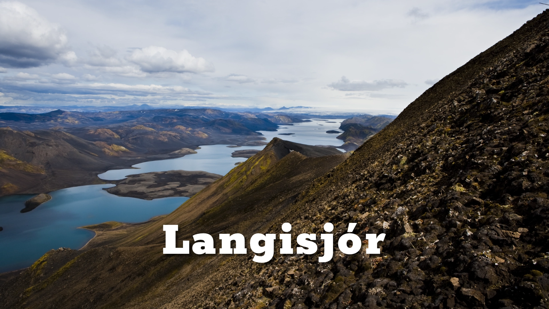
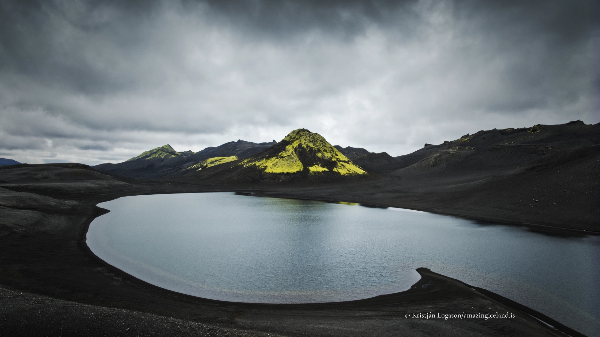
Langisjór extends for approximately 20 kilometres through the southern Highlands, a narrow blue lake between dark volcanic ridges and black pumice shores. Its surface covers about 27 square kilometres, its deepest point reaches approximately 74 metres and it lies around 670 metres above sea level.
Those figures describe a large lake, but not the experience of reaching it. Langisjór lies far from farms, surfaced roads and ordinary visitor infrastructure. The usual journey approaches through Eldgjá and Hólaskjól on F208 before turning onto F235, a rough and slow highland road with unbridged water crossings. At the road’s end, the lake still appears to continue far beyond the part that can be understood from the shore.
Langisjór belongs to the Eldgjá and Langisjór area of Vatnajökull National Park. Its landscape is closely connected with Sveinstindur, the mountain rising above the southern end, but the lake is more than a foreground to that summit. It has its own history: shepherds knew it as Skaftárvatn, a branch of Skaftá once coloured it with glacial sediment, and walking around its full shoreline remains a journey measured in days.
The location of Langisjór highland lake
Latitude
64.1026
Longitude
-18.4449
Langisjór highland lake
A long lake between Breiðbakur and Fögrufjöll
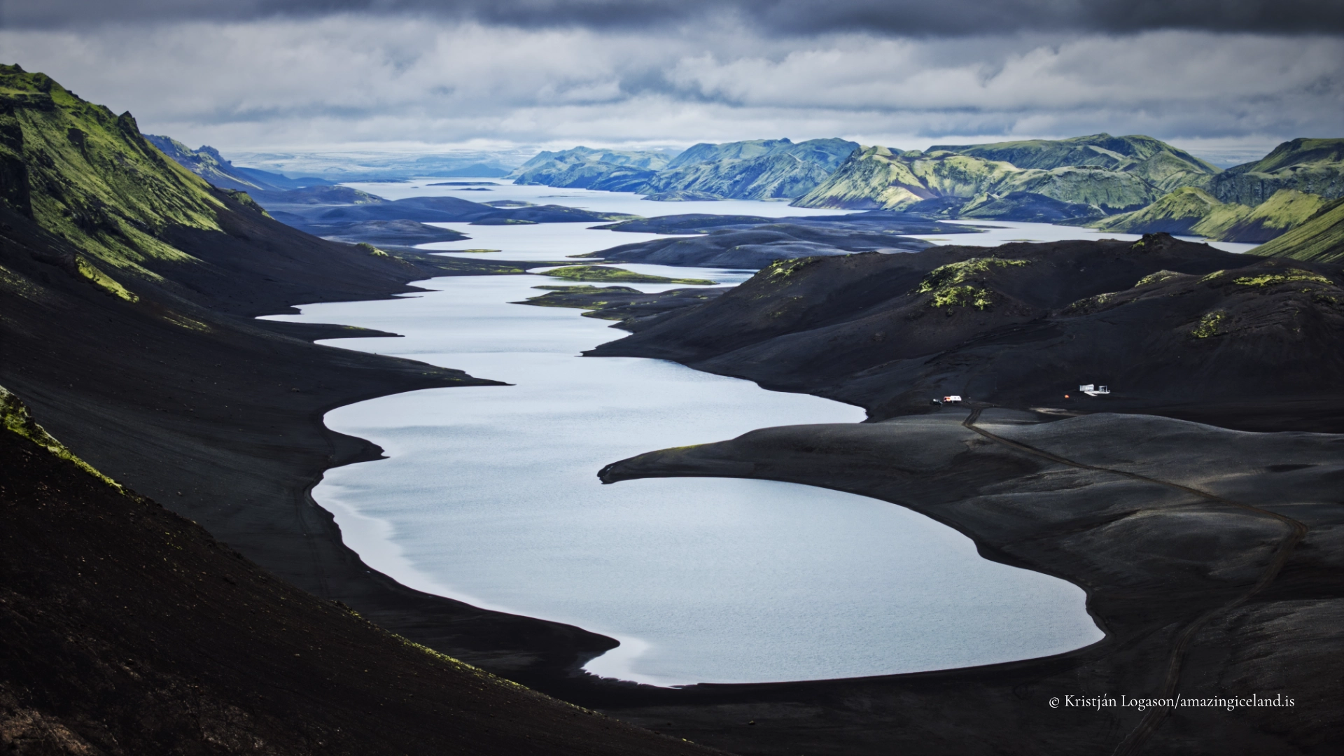
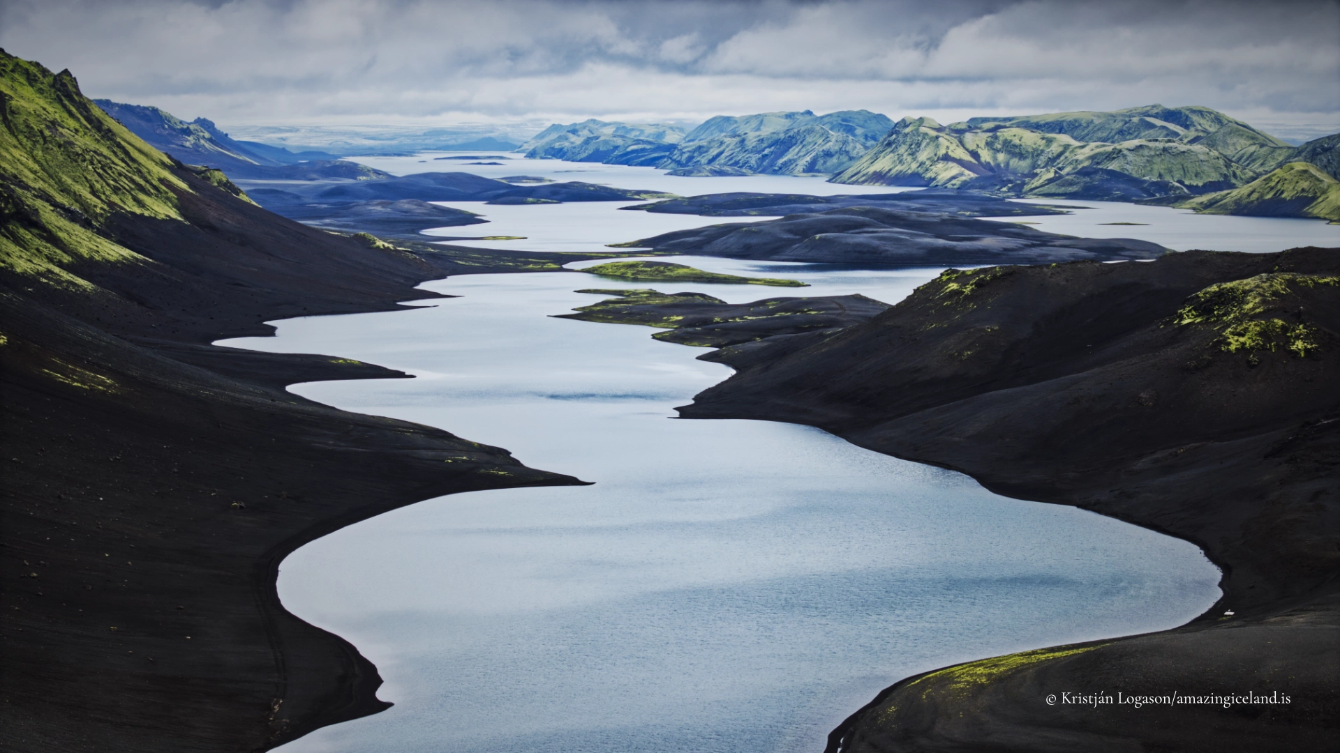
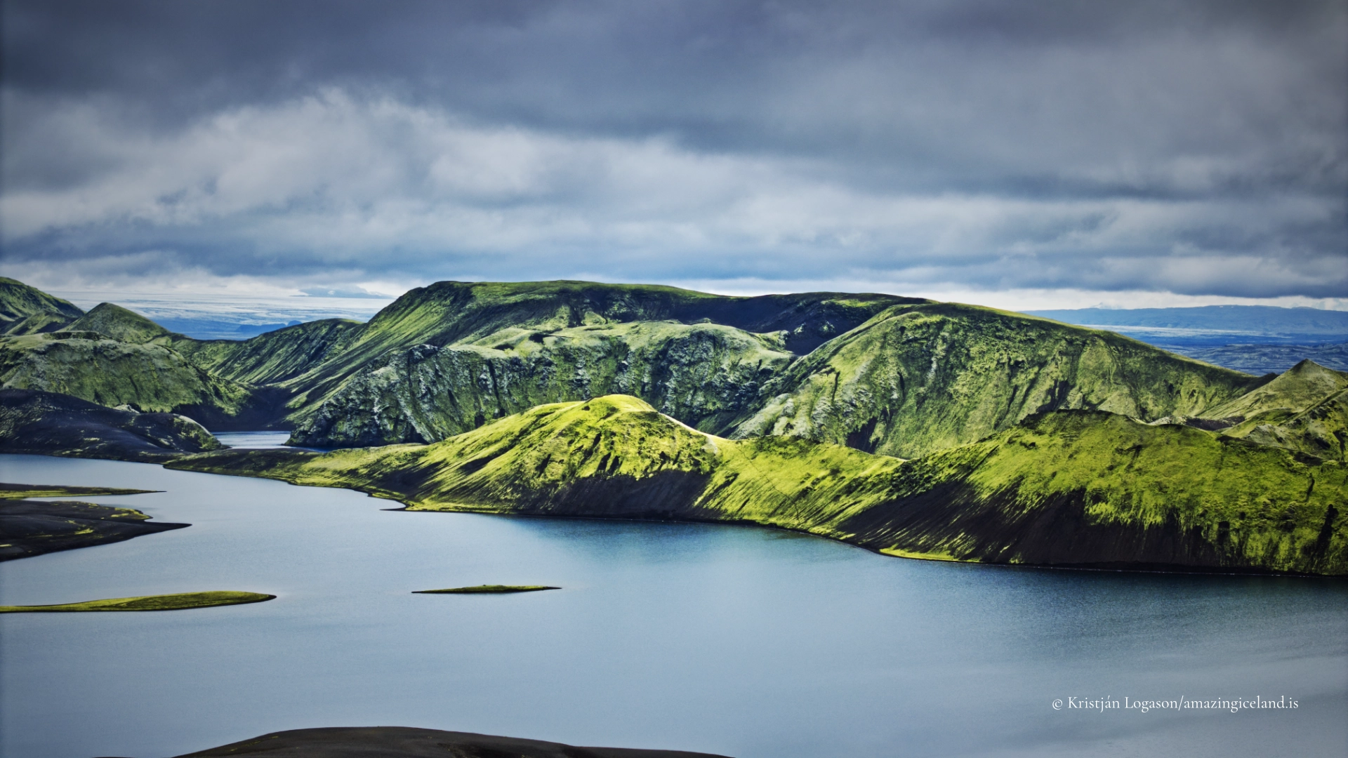
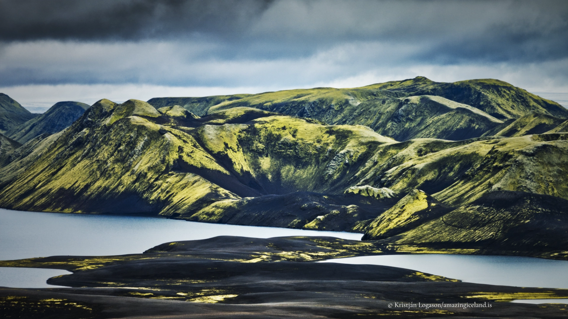
Langisjór occupies a long basin between two mountain ridges. Breiðbakur rises along its western side, while Fögrufjöll forms the more intricate eastern boundary of peaks, peninsulas and coves. Both are largely composed of hyaloclastite, volcanic material produced when eruptions encountered ice and meltwater.
This ice-contact origin helps explain the steep-sided, eroded form of the surrounding mountains. Later glacial and river erosion opened gullies, moved sediment and cut into the volcanic construction. The lake now lies within this inherited structure, narrow in relation to its length and repeatedly enclosed by ridges that appear to overlap when viewed from the southern shore.
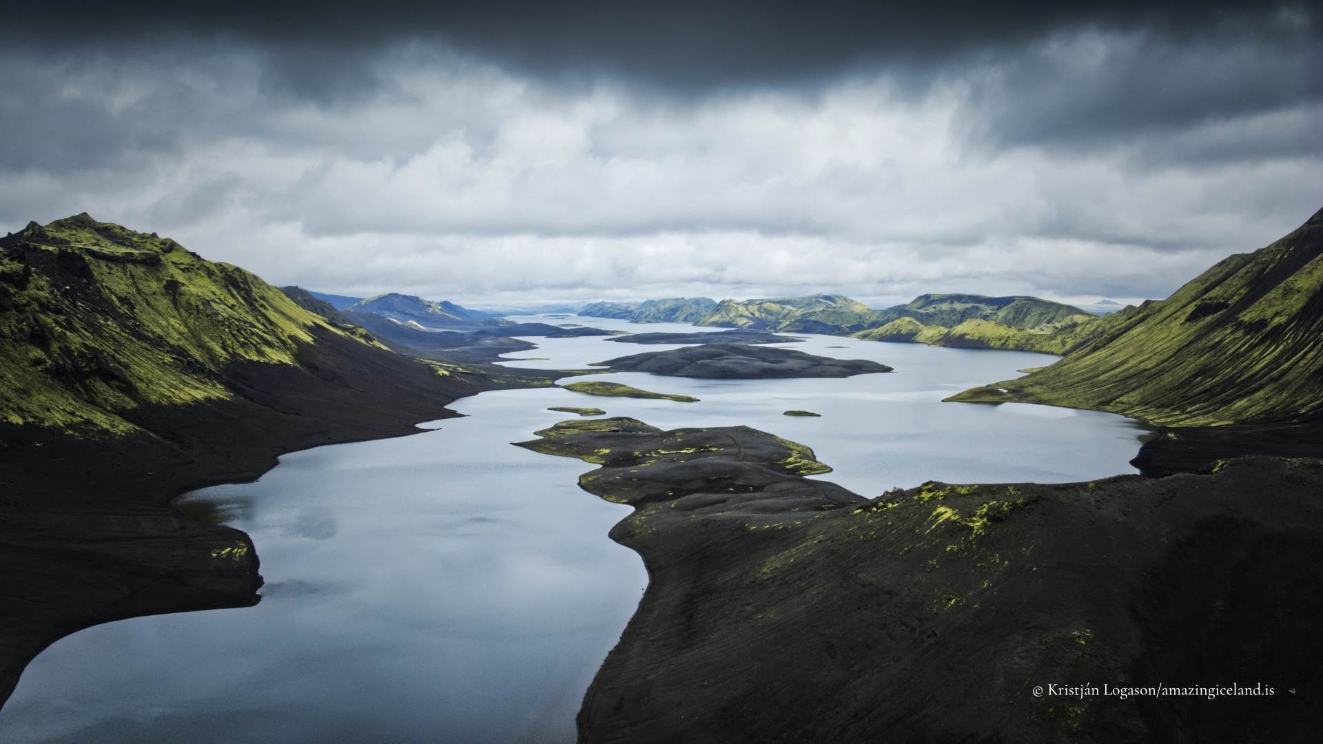
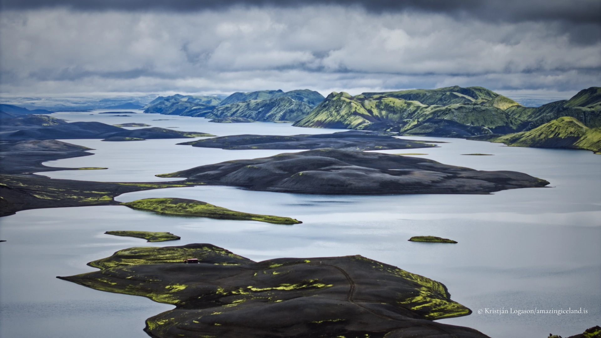
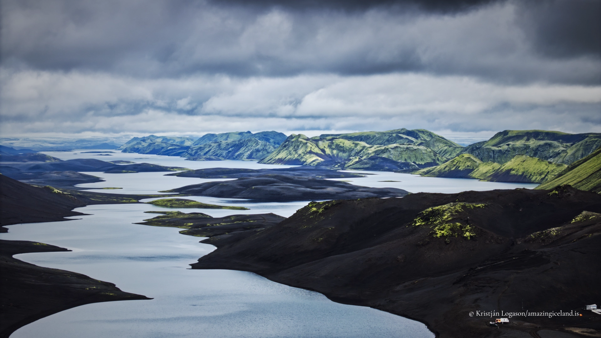
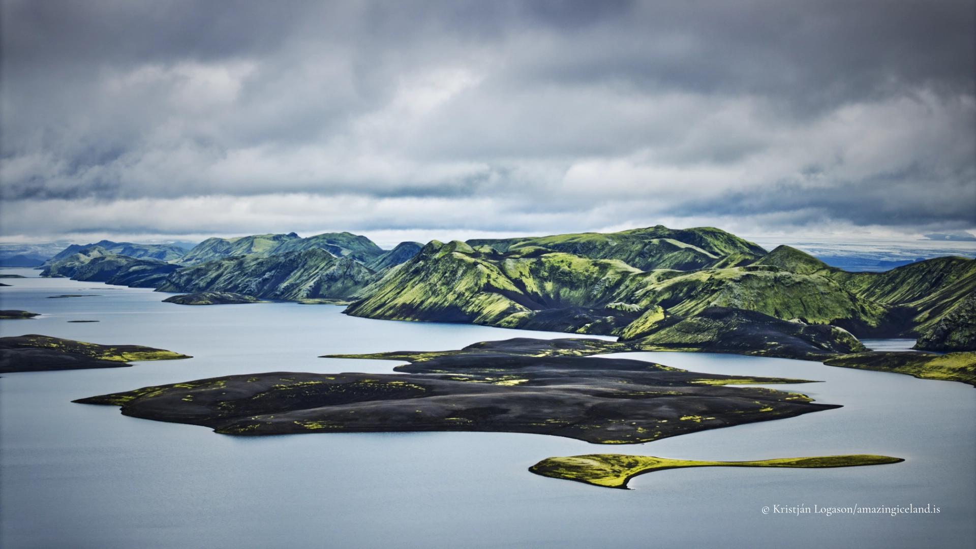
The result is not a single open basin visible at once from ground level. Shorelines, headlands and islands divide the view, while the lake bends through the mountains. Its true scale becomes clearer from elevated ground, particularly from Sveinstindur, where Langisjór can be read as a complete landform rather than a succession of blue water and dark shores.
Vegetation is sparse and slow-growing. Black pumice, exposed volcanic material and pale sediment dominate many immediate views, while moss and other highland plants occupy more stable ground. This apparent emptiness is part of the lake’s visual strength, but it also makes damage conspicuous and recovery slow.
From glacially coloured water to one of Iceland’s clearest lakes
Langisjór is now known as one of Iceland’s clearest mountain lakes, but its water did not always have its present appearance. During the first half of the twentieth century, a branch of Skaftá flowed into the lake and carried glacial sediment with it. The suspended material coloured the water.
That branch no longer enters Langisjór. Without the continuing inflow of glacial silt, the lake changed towards the clear blue water seen today. This history is more precise than calling Langisjór a glacial lake or assuming that its colour is controlled directly by the nearby ice of Vatnajökull.
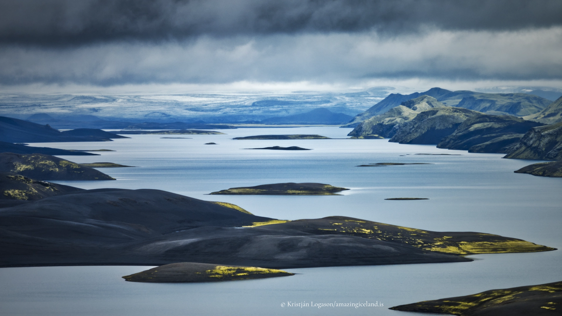
The colour changes with weather and viewpoint. Under calm light, the water can appear intensely blue against black pumice. Wind breaks the surface into darker texture, while cloud and rain may reduce the lake to muted steel tones. From above, shallower margins, islands and peninsulas create variations that are difficult to recognise from the shore.
Clarity should not be mistaken for gentleness. The lake is cold, remote and exposed to wind moving through a basin approximately 20 kilometres long. Conditions can change quickly, and waves may develop across water that appeared calm at the beginning of a journey.

Shepherds, Skaftárvatn and the name Langisjór
The earliest people known to have encountered the lake were probably shepherds travelling through the Highlands in connection with seasonal grazing and sheep gathering. They called it Skaftárvatn, linking it to Skaftá and to the watercourse that once entered the lake.
The name Langisjór was later given by the geologist and explorer Þorvaldur Thoroddsen. It means “Long Sea,” an appropriate name for water that stretches far beyond the immediate field of view and can feel more like an enclosed inland sea than an ordinary mountain lake.
This naming history is a reminder that the interior was not unknown simply because it lacked permanent settlement. Shepherds, travellers and later surveyors knew the landscape for different reasons and at different levels of detail. Modern roads have shortened the physical journey, but Langisjór still resists becoming a casual roadside destination.
The lake remained outside Vatnajökull National Park when the park was established in 2008, but was incorporated during a later expansion. It is now managed with Eldgjá as part of a connected protected highland landscape. The relationship is practical as well as administrative: most visitors approach Langisjór through the Eldgjá and Hólaskjól side of F208.
Reaching Langisjór by F208 and F235
The normal approach begins on F208 from the Eldgjá and Hólaskjól side. From F208, F235 continues for approximately 25 kilometres towards the southern end of Langisjór. A high-clearance four-wheel-drive vehicle is the responsible choice for this journey.
F235 is mostly rough and slow rather than especially steep or exposed. Its difficulty comes from the surface, the distance and its unbridged water crossings. One or two crossings may require genuine assessment, but no fixed description can establish whether they are safe on the day. Depth, current and the condition of the riverbed change with rain, snowmelt and preceding weather.
Drivers must check current road and weather information before departure and reassess conditions throughout the journey. A river that another vehicle crossed earlier is not automatically safe, and wheel tracks do not prove a suitable line. If the depth, current or riverbed cannot be judged confidently, turning back is the correct decision.
F208 also provides a connection from the north, beyond the Landmannalaugar junction, but that journey uses the more demanding southern section of the road and includes numerous river crossings. It should not be treated as an easier alternative. Unofficial tracks around Langisjór are considerably harder and do not belong in ordinary access guidance.
Highland-road opening depends on snow, thaw, flood conditions and the state of the surface. F235 often opens later than better-known routes. Calendar dates are therefore only historical indications; the current official road status must determine whether the journey is attempted.
There is no fuel or ordinary roadside assistance at Langisjór. Visitors should begin with sufficient fuel, food, warm and waterproof clothing and a realistic allowance of time. Mobile reception cannot be assumed, and weather can change quickly even during midsummer.
The campsite and facilities at the southern end
F235 reaches the developed visitor area near the southern end of the lake. Vehicles can park beside the campsite and service building, and the coordinates on this page identify that arrival area rather than the centre of a lake approximately 20 kilometres long.
Facilities are basic. There is a small campsite on pumice, running water and flush toilets in a service building. A park ranger facility and boat landing are also present, but ranger attendance varies. The building must not be understood as visitor accommodation or as a guarantee that assistance will be immediately available.
The campsite is used principally by hikers, including people beginning or completing longer routes. Vehicle travellers can also use the arrival area, but it should not be imagined as a conventional serviced campground. Visitors remain responsible for their own equipment, food, weather decisions and onward travel.
Camping on pumice is a local conservation measure as well as a practical one. Tents and repeated foot traffic can damage moss and other sensitive vegetation. Existing paths and durable surfaces should be used wherever possible, and all waste must be removed or placed in the facilities specifically provided for it.
Walking beside and above the lake
Langisjór offers walks at very different scales. The summit route onto Sveinstindur is the clearest way to gain an overview. The marked trail is approximately two kilometres long, climbs about 400 metres and normally requires two to three hours for the return journey. It is short in distance but steep and challenging, with highland weather capable of changing the character of the ascent quickly.
A longer route circles Sveinstindur and Fagralón. It covers approximately 11 kilometres and normally takes around four hours. Parts follow old paths, but the complete route is not continuously waymarked. It demands more navigation and judgement than the direct summit trail.
Walking around Langisjór is a different category of journey. The route is approximately 50 kilometres and is normally divided across three days. It is a demanding backpacking undertaking through remote terrain, not an extended shoreline stroll. Walkers must be self-sufficient and prepared for changing weather, variable ground and sections where the best line is not obvious.
Another multi-day route connects Sveinstindur with Skælingar and Eldgjá. Depending on the chosen stages, it covers roughly 30–40 kilometres over two or three days. Parts are marked, and the journey can use mountain huts that must be planned and booked separately.
Existing paths should be followed, even where an apparently direct line looks harmless. Around the lake, people camping during longer walks should choose pumice or other durable ground rather than moss. The aim is not to keep visitors from entering the landscape, but to prevent many individual shortcuts from becoming permanent scars.
Fishing, kayaking and travelling within the national park
Arctic char live in Langisjór and fishing is permitted under the applicable local arrangements. Anglers must obtain the required permission before fishing and should check the current rules rather than assume that general freshwater access applies.
Kayaking can reveal the lake’s coves, islands and enclosing ridges from a perspective unavailable on land. It is nevertheless a serious highland activity. The water is cold, the lake is remote and wind can change rapidly along its length. Kayaking is appropriate for experienced, properly equipped paddlers able to judge weather, waves, exposure and the consequences of a capsize far from immediate assistance.
All travel takes place within Vatnajökull National Park. Off-road driving is prohibited, and vehicles must remain on recognised roads and tracks. Walkers should use existing paths and durable surfaces, particularly around the lake where moss and other vegetation recover slowly.
Drone pilots must check the current national-park and aviation rules before flying. Protected-area restrictions, temporary wildlife considerations and general flight rules may all apply. The remoteness of Langisjór does not make it an unrestricted airspace or remove the obligation to avoid disturbing other visitors and wildlife.
Langisjór rewards conservative decisions. There is no single view worth forcing a river crossing, continuing into closing weather or damaging the ground to reach. The lake’s scale becomes clearer with time, and the journey remains successful even when conditions decide where it must end.
Interesting facts:
-
- Langisjór is approximately 20 kilometres long and up to about two kilometres wide.
- Its surface area is roughly 27 square kilometres, and its greatest measured depth is approximately 74 metres.
- The lake lies at about 670 metres above sea level between Breiðbakur and Fögrufjöll.
- A branch of Skaftá flowed into Langisjór during the first half of the twentieth century and coloured it with glacial sediment.
- After that branch ceased entering the lake, Langisjór developed the clear water for which it is now known.
- Shepherds called the lake Skaftárvatn before Þorvaldur Thoroddsen gave it the name Langisjór.
- The name Langisjór means “Long Sea.”
- Walking around the complete lake is an approximately 50-kilometre journey normally undertaken over three days.
- The marked ascent of Sveinstindur climbs about 400 metres and gives the principal elevated view over the lake.
- Langisjór contains Arctic char.
Image Gallery
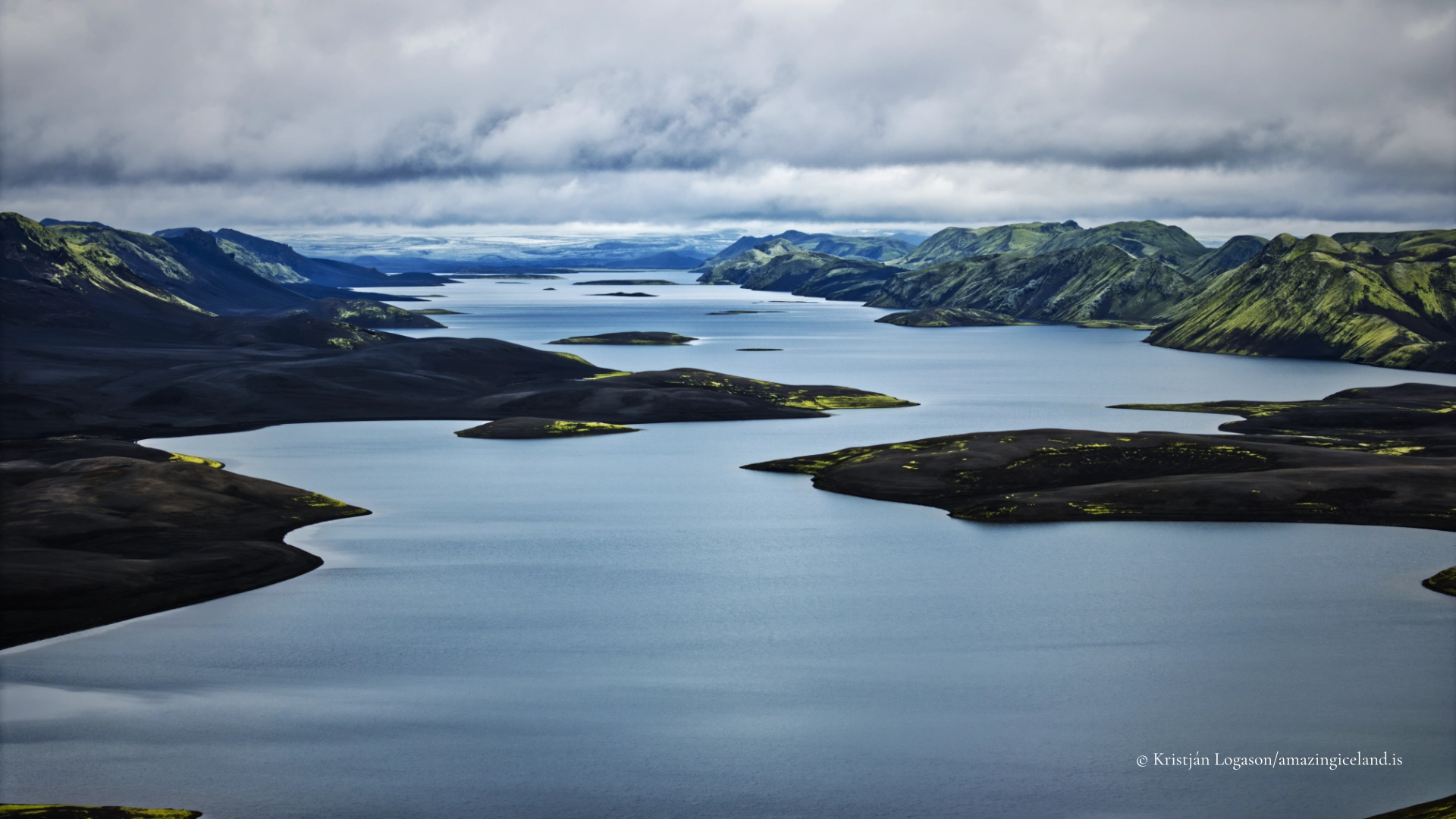
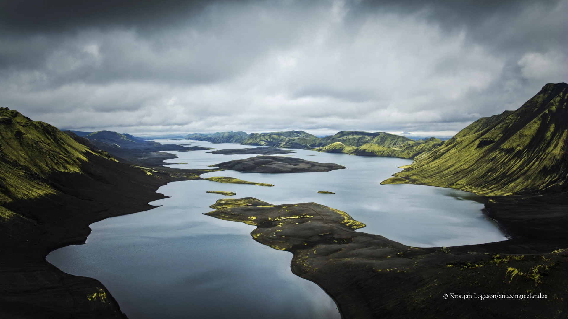
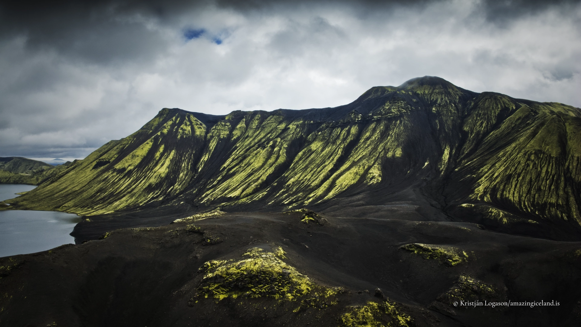
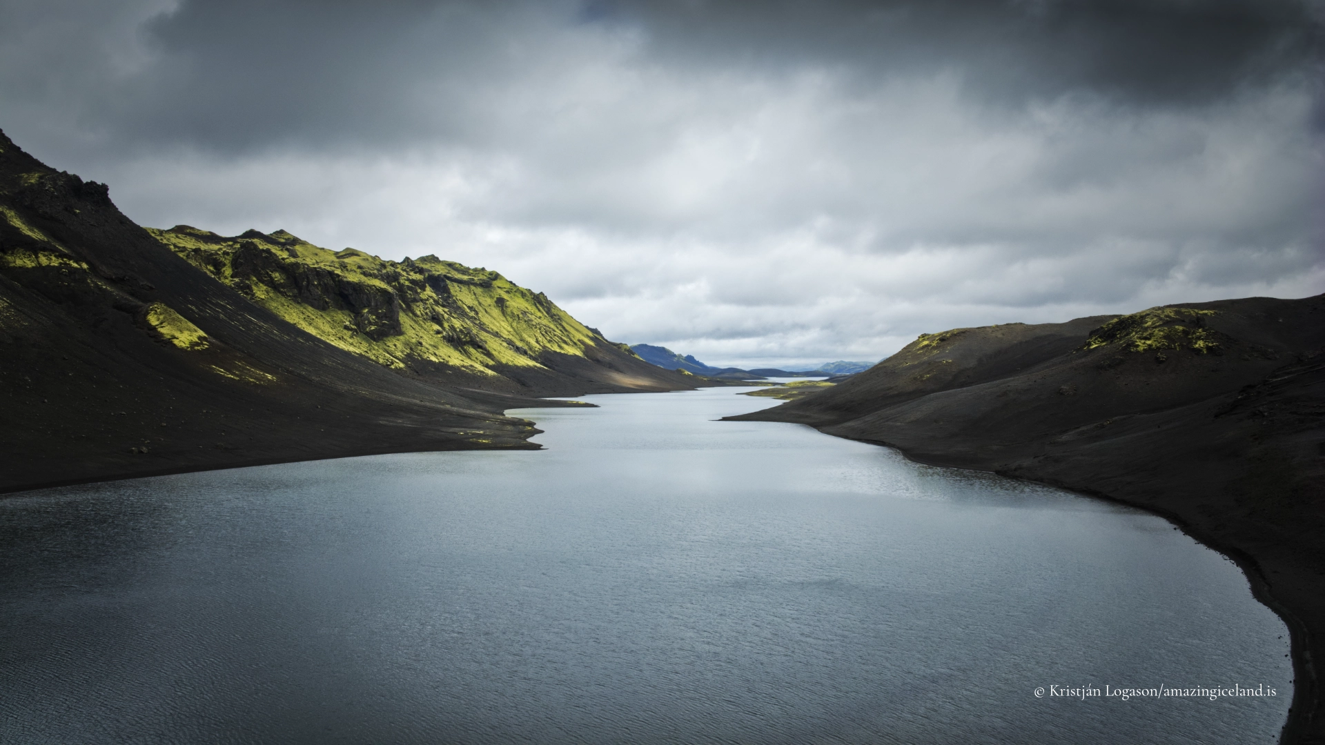
Photography tips:
- The immediate photographic contrast is between clear water, black pumice and the enclosing mountains. A low shoreline position can make that relationship direct, while higher ground reveals the lake’s length, headlands, islands and the opposing structures of Breiðbakur and Fögrufjöll. Sveinstindur provides the broadest established viewpoint, but useful elevated compositions begin below the summit. Changing height can separate overlapping ridges and make the geometry of the lake more legible. A person, tent, vehicle or kayak may be used sparingly to establish scale. Calm conditions produce reflections and reveal variations in the water near shore. Wind creates texture and can better express the exposure of the basin. Broken light moving along the lake may be more descriptive than an evenly clear sky, while overcast weather retains detail in the black ground and muted mountain surfaces. Long lenses are useful for isolating repeating ridges, coves, peninsulas and small areas of light. Wider lenses work best when the foreground has a clear purpose, such as pumice, a recognised path or the edge of the water. Do not leave paths or trample moss merely to simplify a foreground. The lake’s blue requires restraint in editing. Excessive saturation can make an already unusual colour appear artificial, while heavy clarity can remove the atmosphere that establishes distance. Retaining haze, rain or moving shadow often communicates Langisjór’s true scale more effectively than forcing every ridge into equal contrast. Aerial photographs can show the long form of the basin particularly well, but flights must comply with current national-park and aviation rules. On the water, photographs should never take priority over the weather, cold-water equipment or the paddler’s ability to return safely.
Destinations nearby