Rauðisandur red sand beach
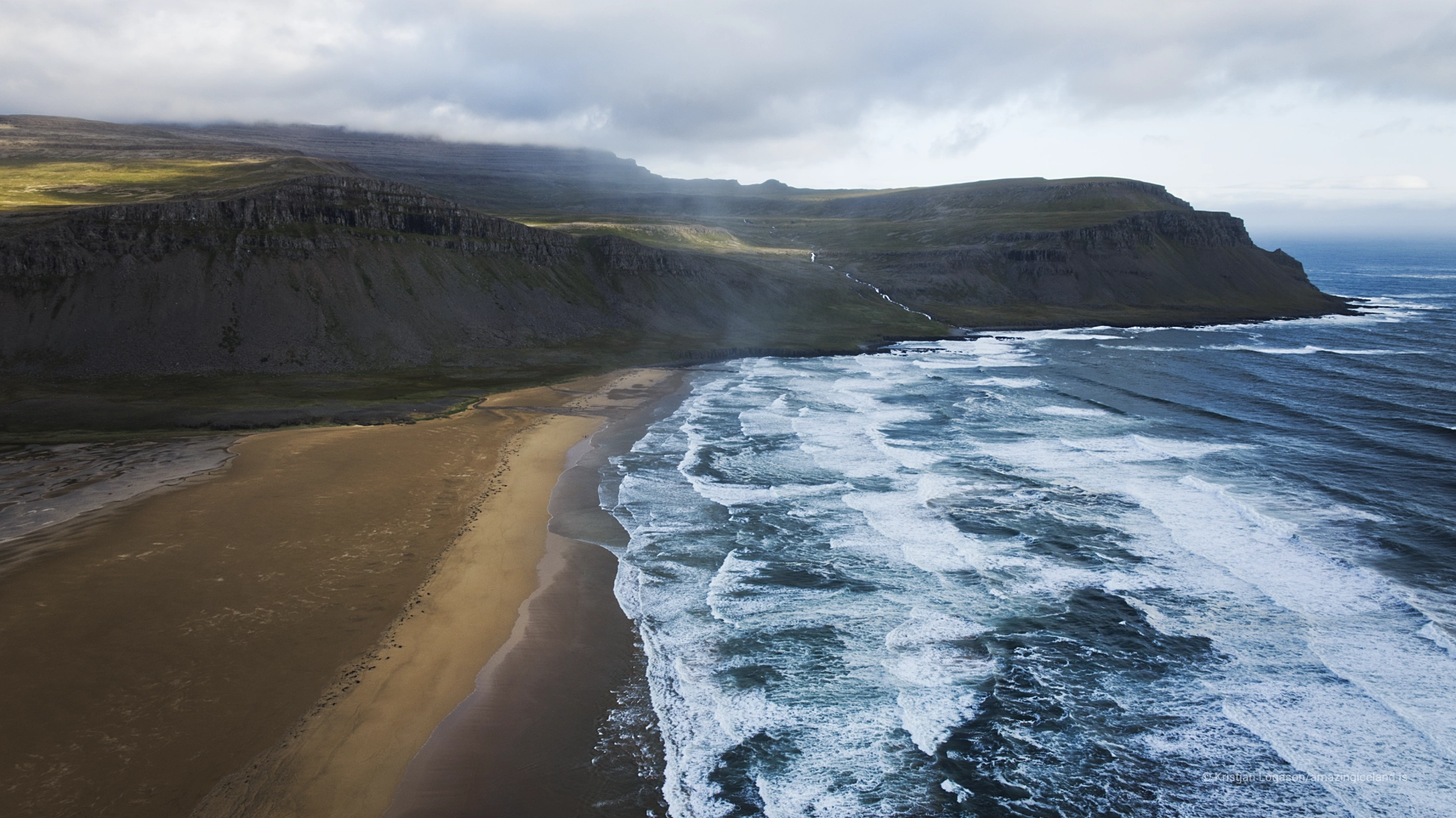
Rauðisandur lies south of Látrabjarg, where the steep and predominantly vertical landscape of the Westfjords opens into a long bay and an immense coastal plain. The name is often translated simply as Red Sand, but the shore does not hold one fixed colour. Its tones move between red, gold, pink and pale beige according to the light, moisture and exposed surface. Rauðisandur is also more than a beach. Farms, a church and stories of life in an isolated district remain part of the landscape, and different approaches reveal substantially different parts of it.
The location of Rauðisandur red sand beach
Latitude
65.4886
Longitude
-23.9859
Rauðisandur red sand beach
A horizontal landscape
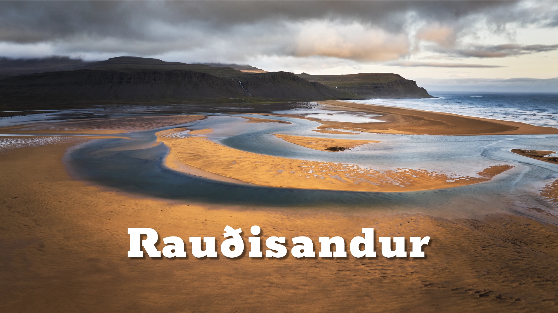
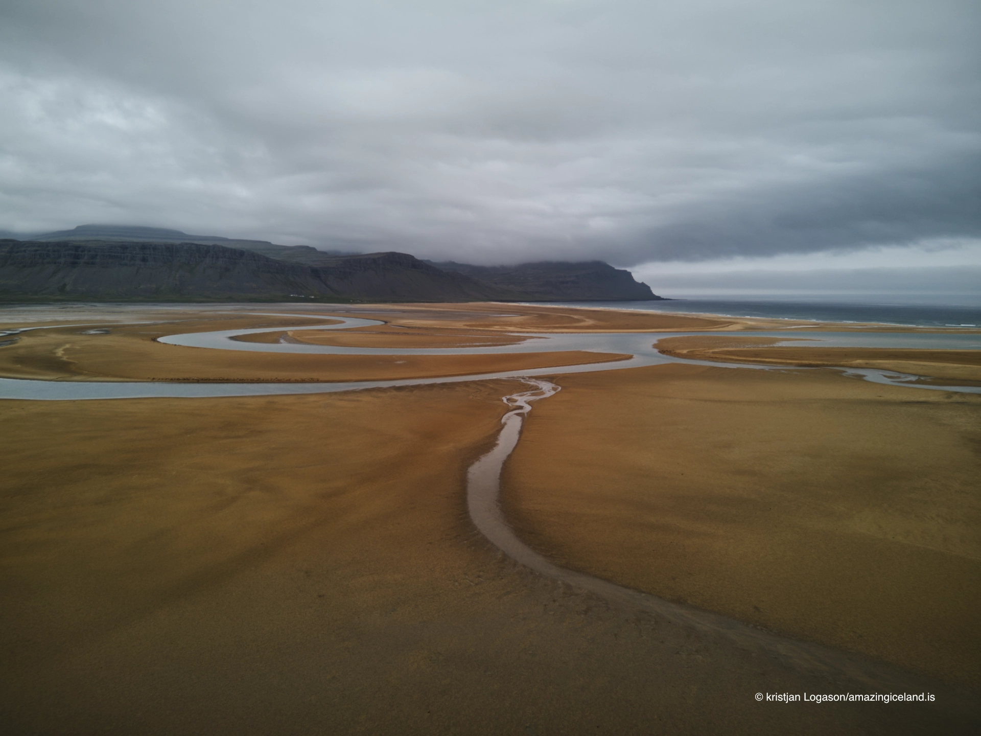
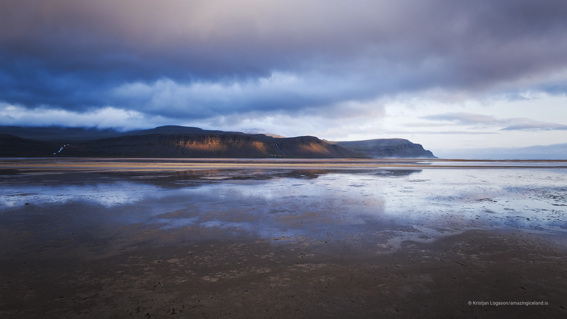
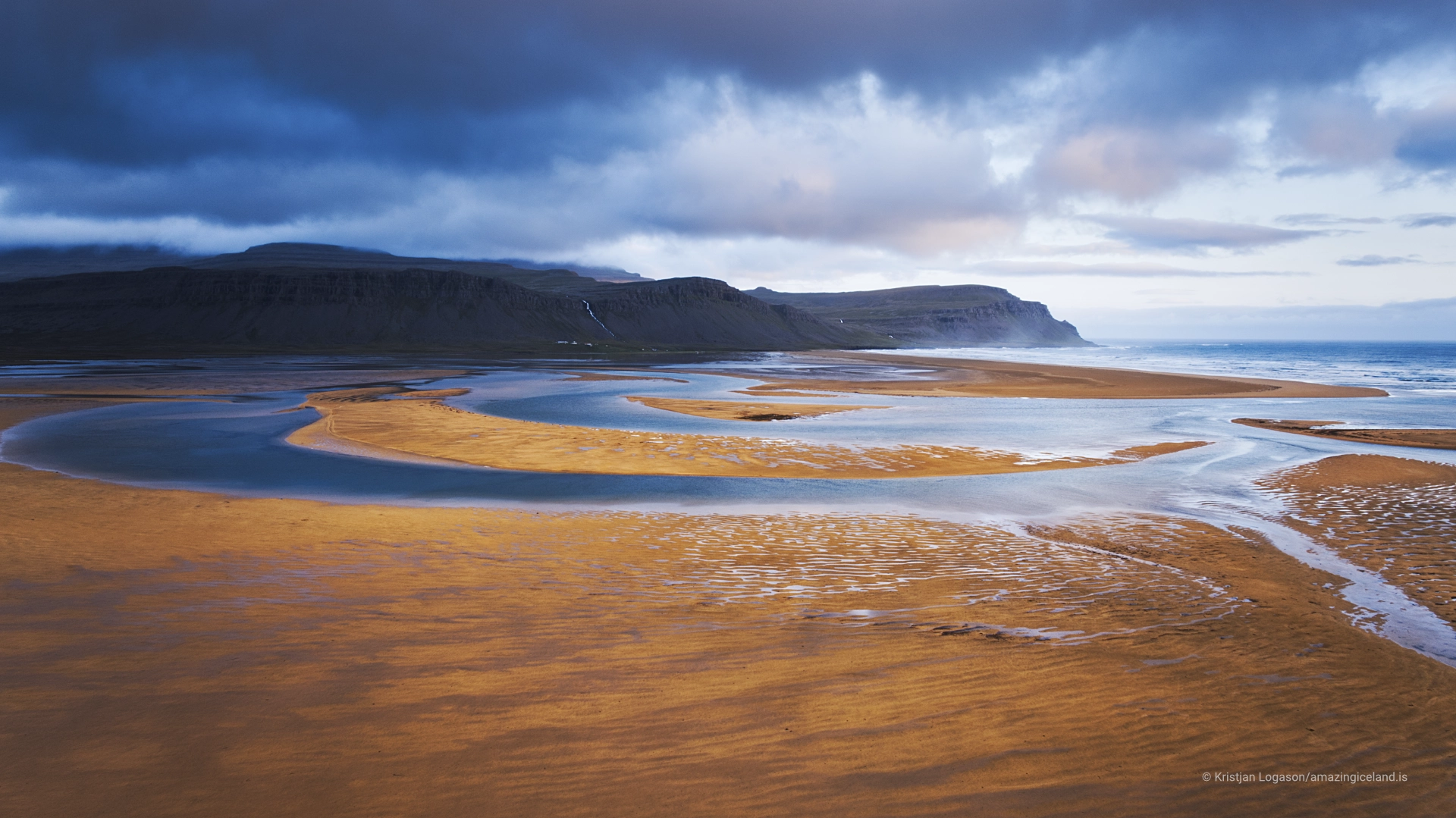
Much of the Icelandic coast is understood vertically through cliffs, sea stacks, narrow coves and mountains rising directly from the water. Rauðisandur works in the opposite direction. The eye travels across the tidal plain and follows the curve of the shore, with the surrounding mountains holding the landscape at a distance rather than controlling every composition. This horizontal character is the destination’s defining quality.
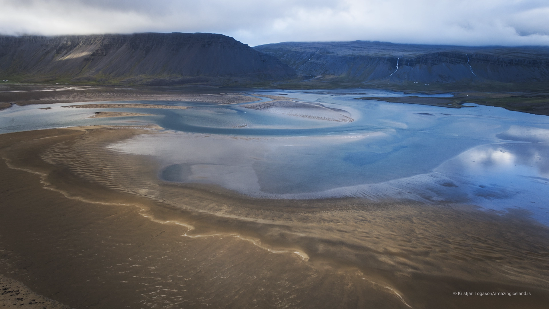
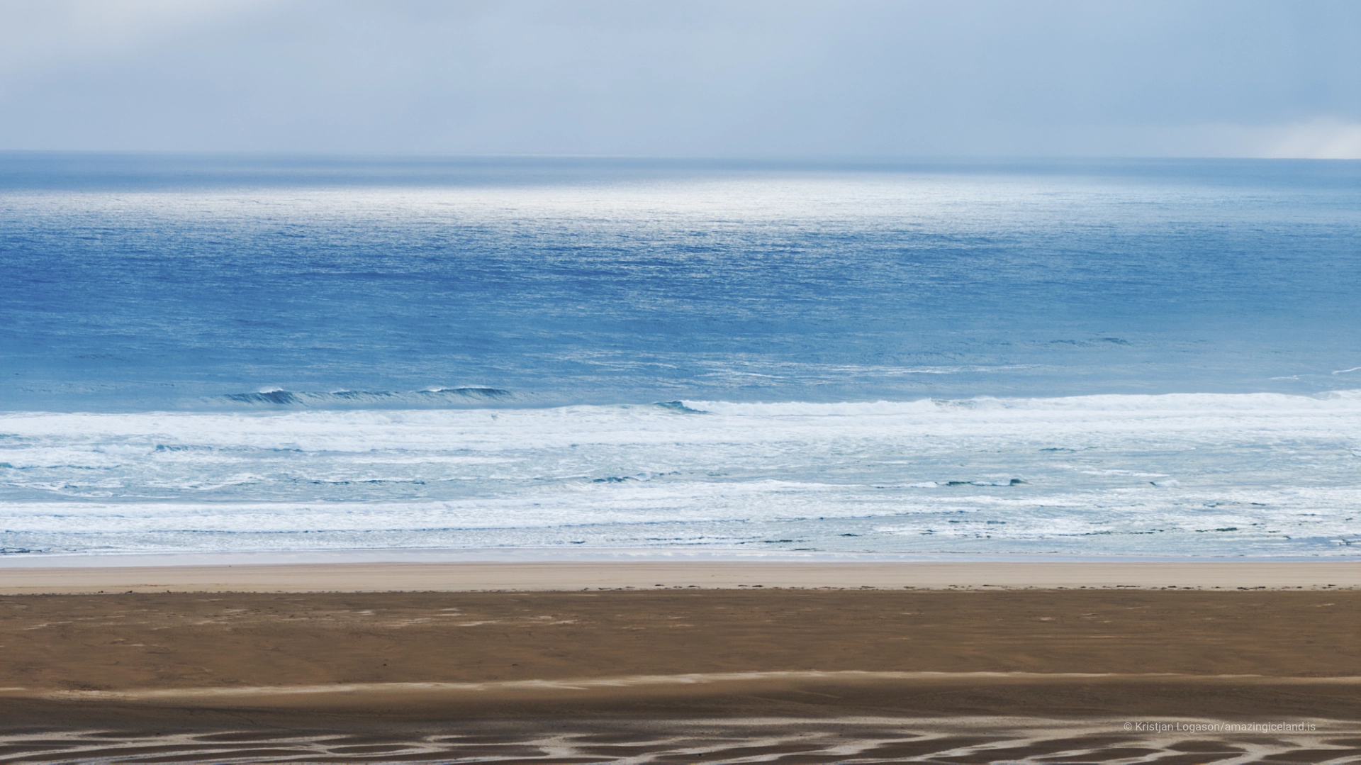
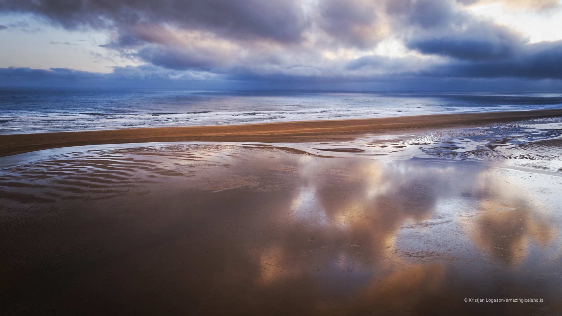
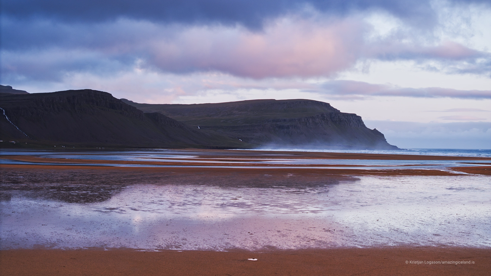
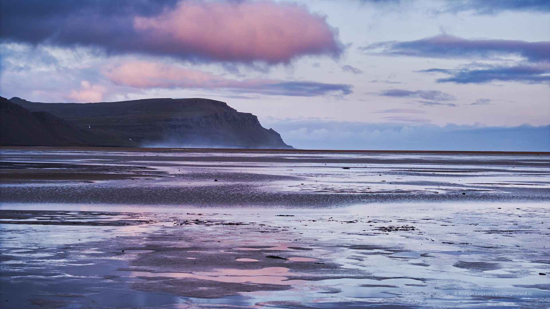
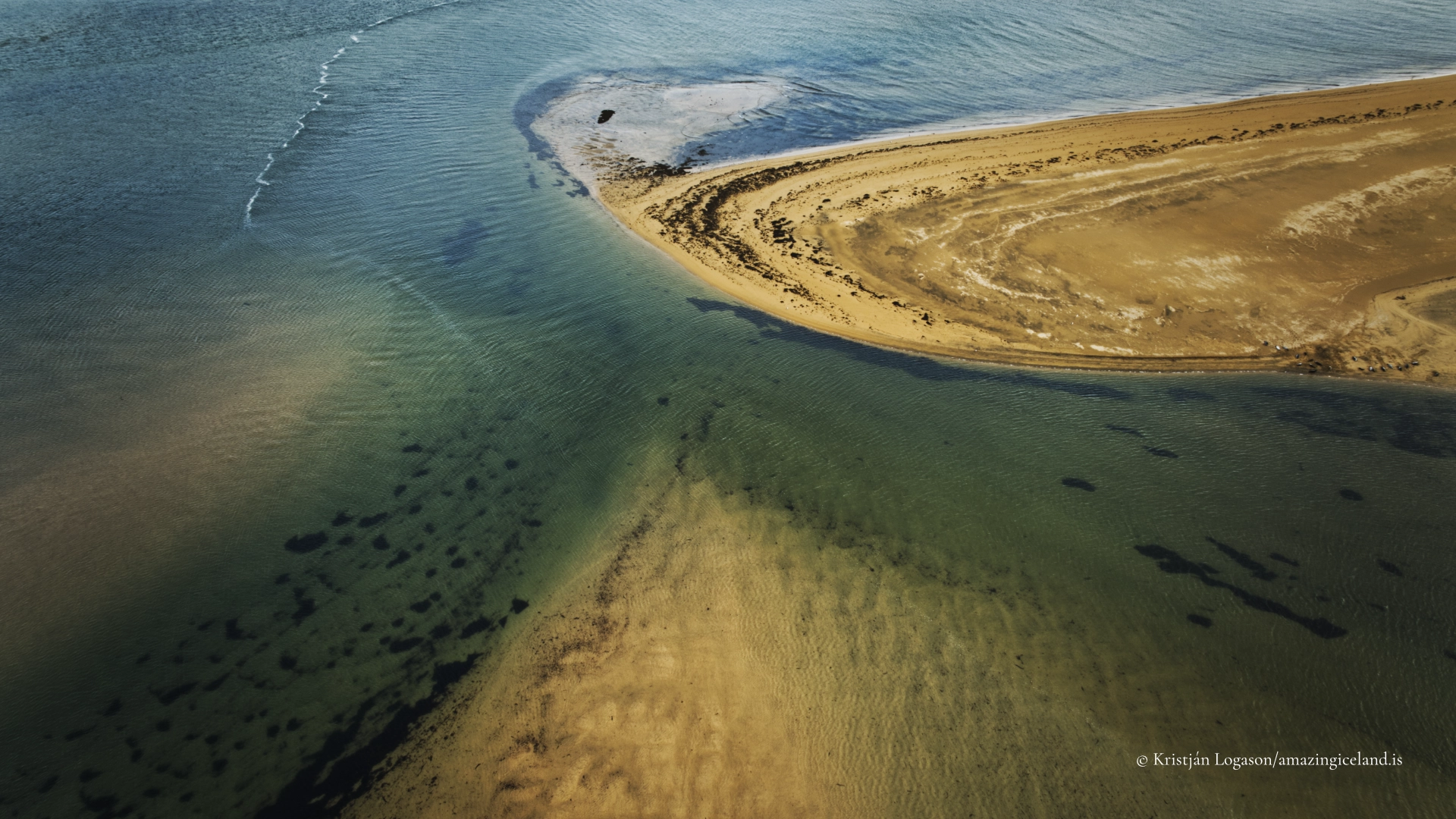
The beach extends for roughly 10 km, but its scale is not fully expressed by length alone. The shallow intertidal area expands greatly as the sea withdraws, exposing wet sand, channels and reflective surfaces. At a different stage of the tide, the same view becomes simpler and more compressed. The tide is therefore important to the experience and to photography, although it should be treated as a changing condition rather than presented as an exceptional hazard.
Why the sand changes colour
Rauðisandur differs from the basalt-derived black beaches familiar elsewhere in Iceland. Shell material and lighter sediments contribute to the warmer appearance of the shore, but no single description captures it under every condition. Dry sand, wet sand and shallow water reflect light differently, and the apparent colour can change markedly as clouds move or the sun drops towards the horizon.
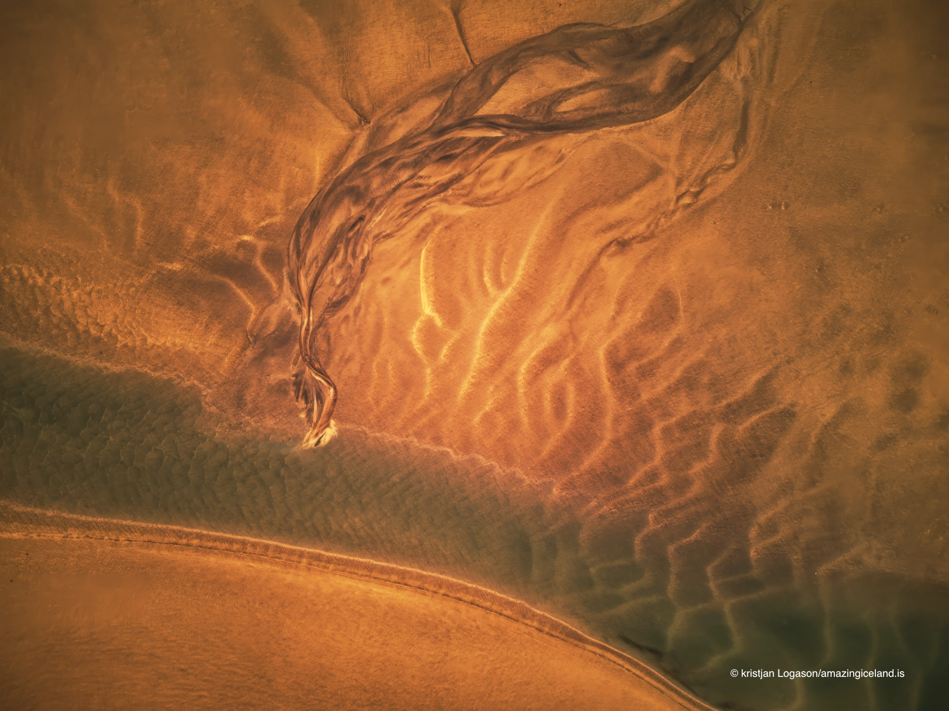
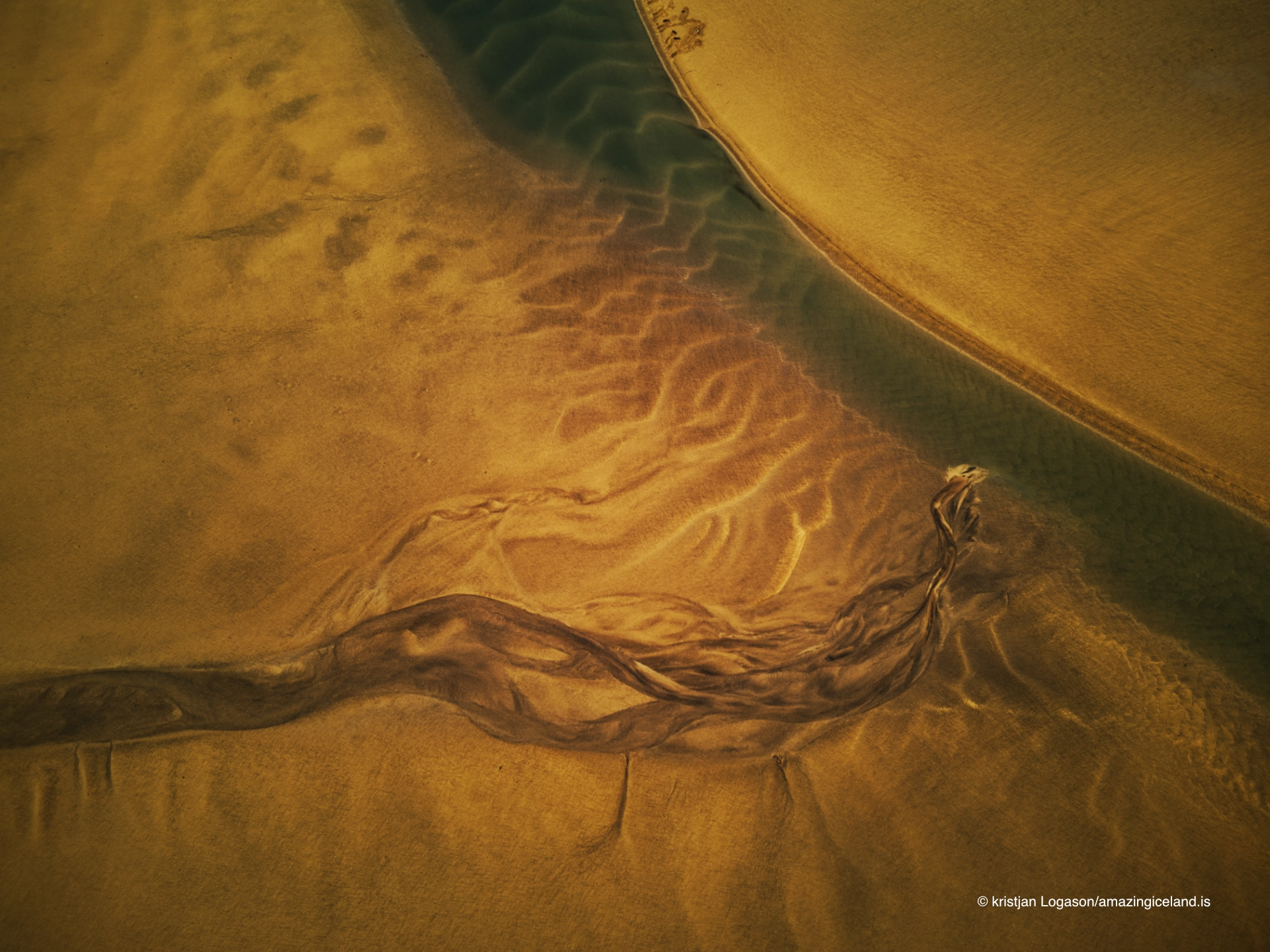
The name Rauðisandur should therefore not be read as a promise that the entire beach will always appear red. Rust, gold, pink and pale tones can exist together across the same tidal plain. That variability is part of the landscape rather than a failure to find the right viewpoint, and it becomes particularly clear when low light separates the raised forms, channels and wet surfaces.

Farms and Saurbæjarkirkja
Rauðisandur is both a beach and an old farming district. The cultivated ground, farm buildings and roads prevent the open landscape from being mistaken for an empty coast. Settlement here developed under difficult conditions, but the district was historically more substantial than a scattering of isolated farms. Saurbær was an important estate and was associated with men who held the office of magistrate during the sixteenth and seventeenth centuries.
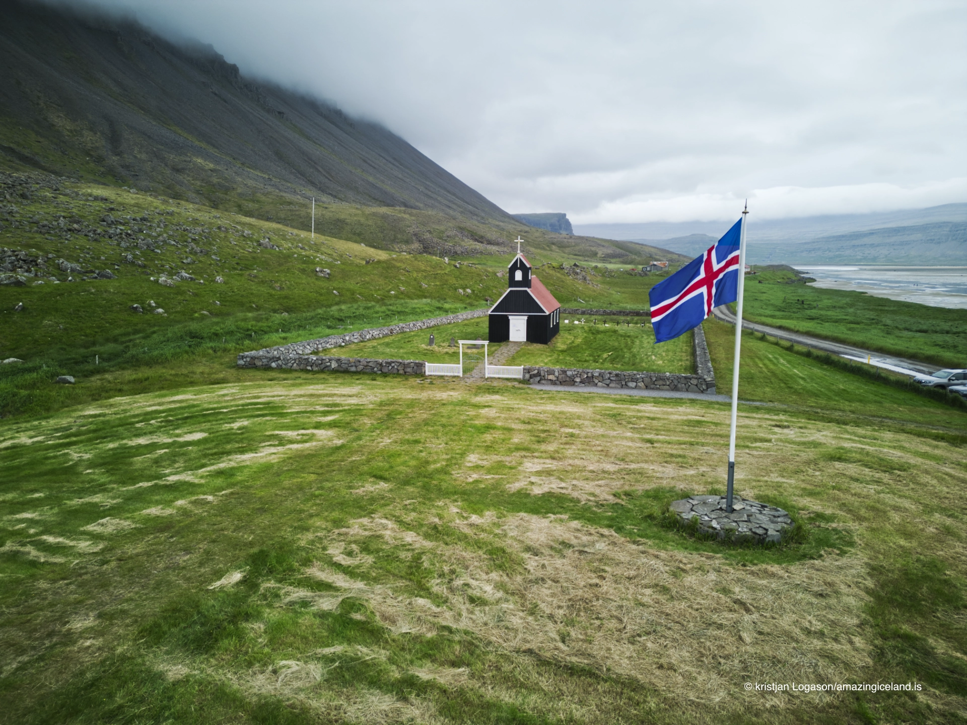
Saurbæjarkirkja stands within this settled landscape, its red and white exterior visible against the fields and mountains. The church is not merely an additional stop beside the beach. It helps explain that Rauðisandur was a lived-in district with its own social and religious centre. There are no visitor facilities beside the church, and the church side and Melanes should not be treated as interchangeable access points: each reveals a different part of the coast and its relationship with the farms.
The story of Sjöundá
Sjöundá, at the western end of Rauðisandur, is connected with one of Iceland’s best-known criminal cases. In 1802, Bjarni Bjarnason and Steinunn Sveinsdóttir were accused of murdering their respective spouses after forming a relationship. The isolation of the farms, the investigation and the fate of those involved gave the case a lasting place in Icelandic memory.
The story later reached a much wider audience through Gunnar Gunnarsson’s novel Svartfugl. It belongs in the history of Rauðisandur because the remoteness and difficult life of the district are inseparable from the events, but it should not be used to turn the entire landscape into the setting of a crime story. Sjöundá is one part of a coast with a much longer history of farming, travel and settlement.
Reaching and exploring Rauðisandur
Route 614 descends towards Rauðisandur on a steep, winding gravel road. It can be difficult and slippery, and careful, patient driving is required. An ordinary two-wheel-drive car is suitable in good summer conditions, but this is mainly a summer journey and road conditions should be checked before travelling outside the main season. Driving on the beach itself is not allowed.
The experience varies according to where the shore is approached. There are no facilities beside Saurbæjarkirkja, while a campground is located at Melanes. Rather than trying to reduce Rauðisandur to one viewpoint, visitors should explore more than one part of the district and allow the road, church, farms and tidal landscape to connect. Half a day is the minimum useful time; a full day is preferable for an unhurried visit
Wildlife and an open coast
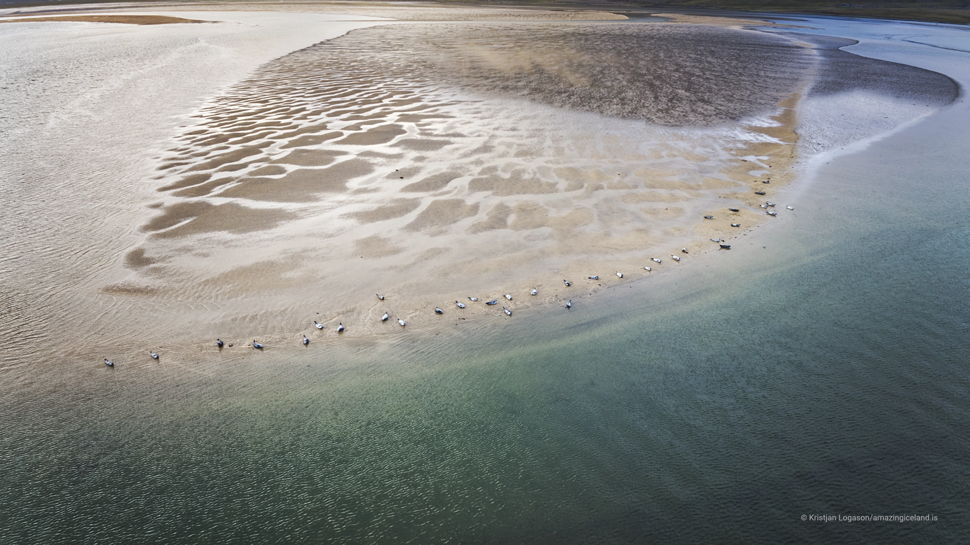
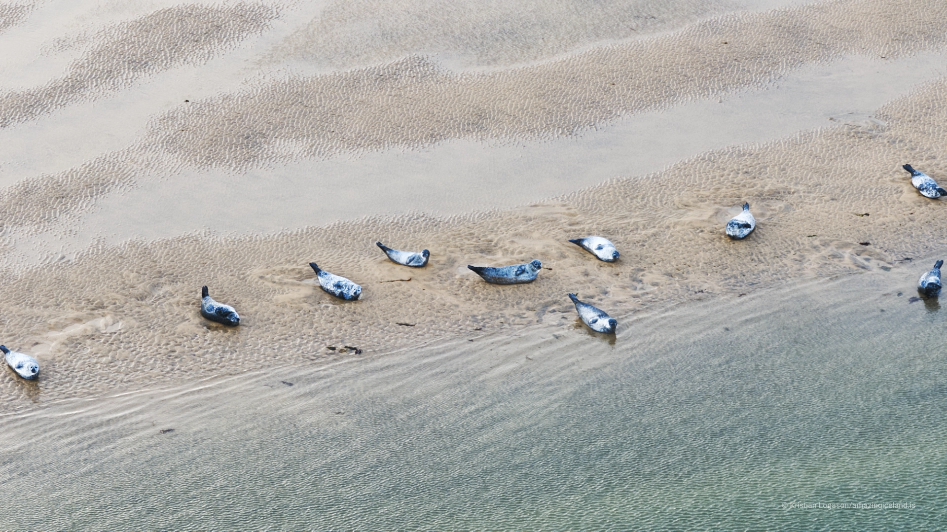
The intertidal area provides feeding ground for coastal birds, while seals can also be seen along Rauðisandur. They may be difficult to locate, so their presence should be treated as a possibility rather than a guaranteed wildlife encounter. Watching from a distance avoids disturbing animals and allows the wider relationship between wildlife and the tidal landscape to remain visible.
Rauðisandur does not gather its character into a single landmark. Colour, tide, farms and weather spread the experience across a large area, and the apparent simplicity of the shore changes as visitors move through it. Rauðisandur is not empty. It is open.
Interesting facts:
-
-
- Rauðisandur extends for roughly 10 km along the southern side of the Westfjords.
- The sand can appear red, gold, pink or pale beige according to moisture, tide and light.
- Saurbær was historically an important estate and was associated with magistrates during the sixteenth and seventeenth centuries.
- The 1802 Sjöundá murders later became the basis of Gunnar Gunnarsson’s novel Svartfugl.
- Seals occur along the coast but can be difficult to spot.
- Driving on the beach is not allowed.
-
Image Gallery
Photography tips:
-
-
- Low light towards sunset is particularly effective because it strengthens the warm colours and gives definition to the channels, wet surfaces and low forms across the tidal plain.
- Check the tide before choosing a composition. Lower water exposes more patterns and reflective sand, while higher water simplifies the shore and changes the balance between beach and sea.
- Use wide compositions to express the horizontal scale, but include farms, the church, headlands or other recognisable elements when the landscape needs a measure of distance.
- Photograph the relationship between the inhabited land and the beach rather than treating the farms as intrusions. Saurbæjarkirkja, fields and buildings help explain Rauðisandur as a settled coastal district.
- Aerial photography is as important as ground-level work here. From above, channels, tidal structures and changes in colour become legible across a scale that is difficult to show from the beach.
- Do not force the sand towards a uniform red in processing. Its natural strength lies in the coexistence of several tones and in the way they change with light and moisture.
-
Destinations nearby