Mt Mælifell volcano on the southern Fjallabak road F210
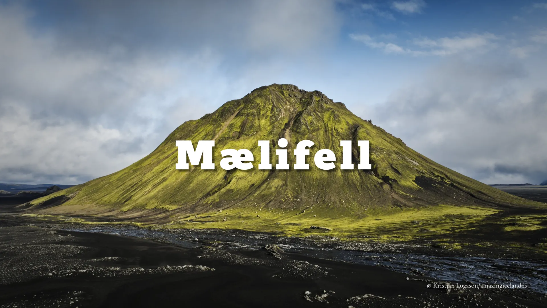
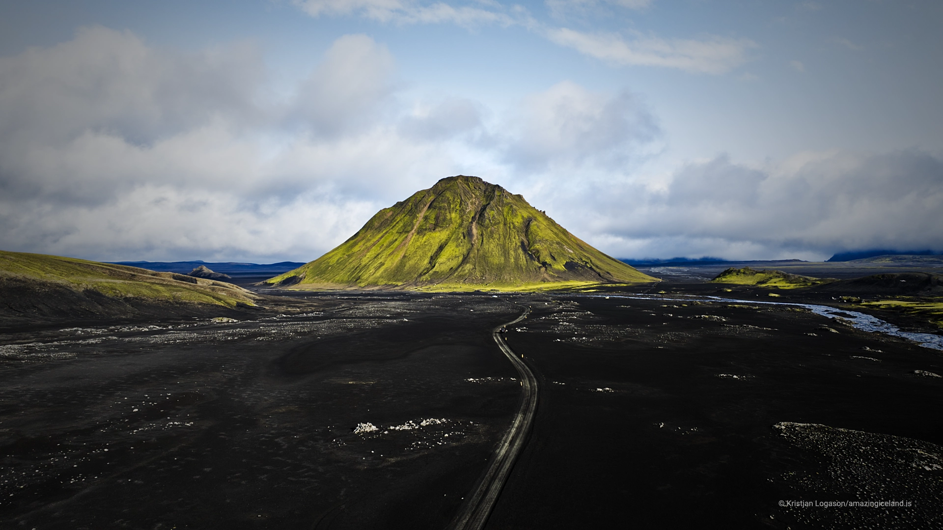
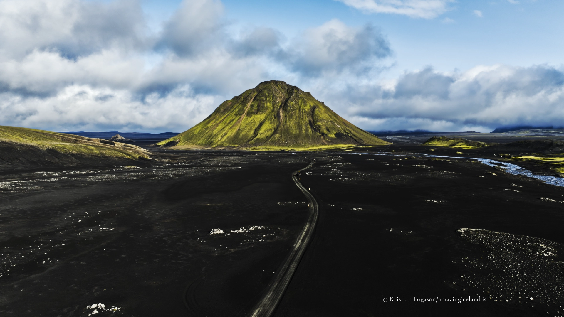
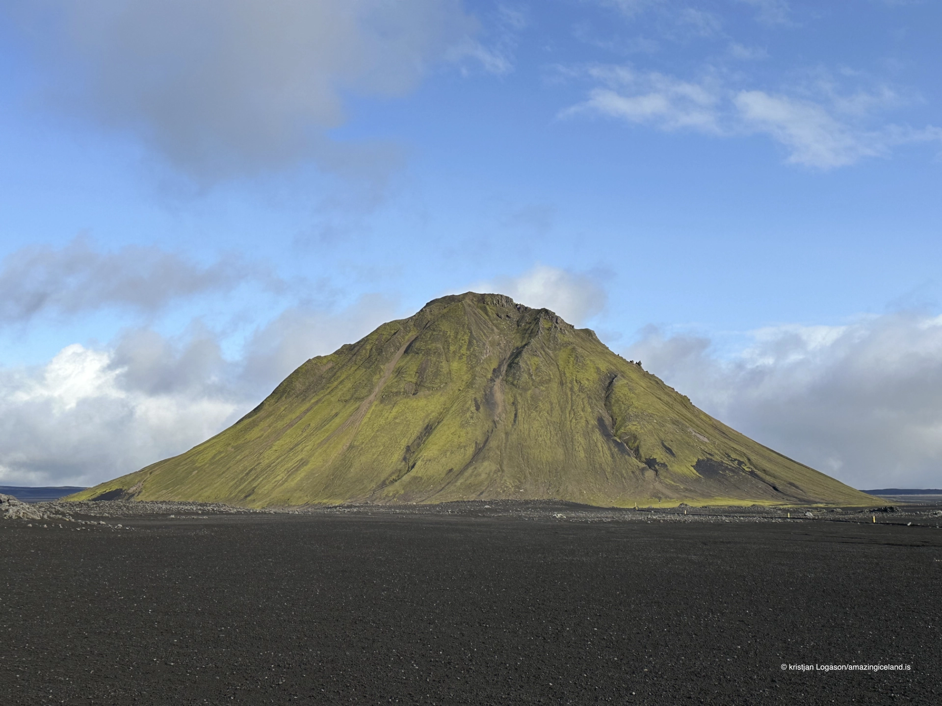
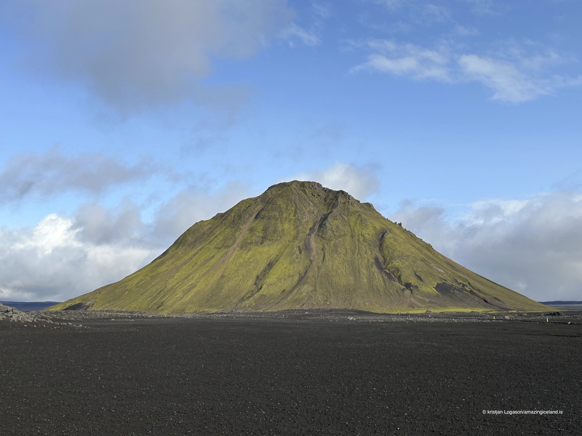
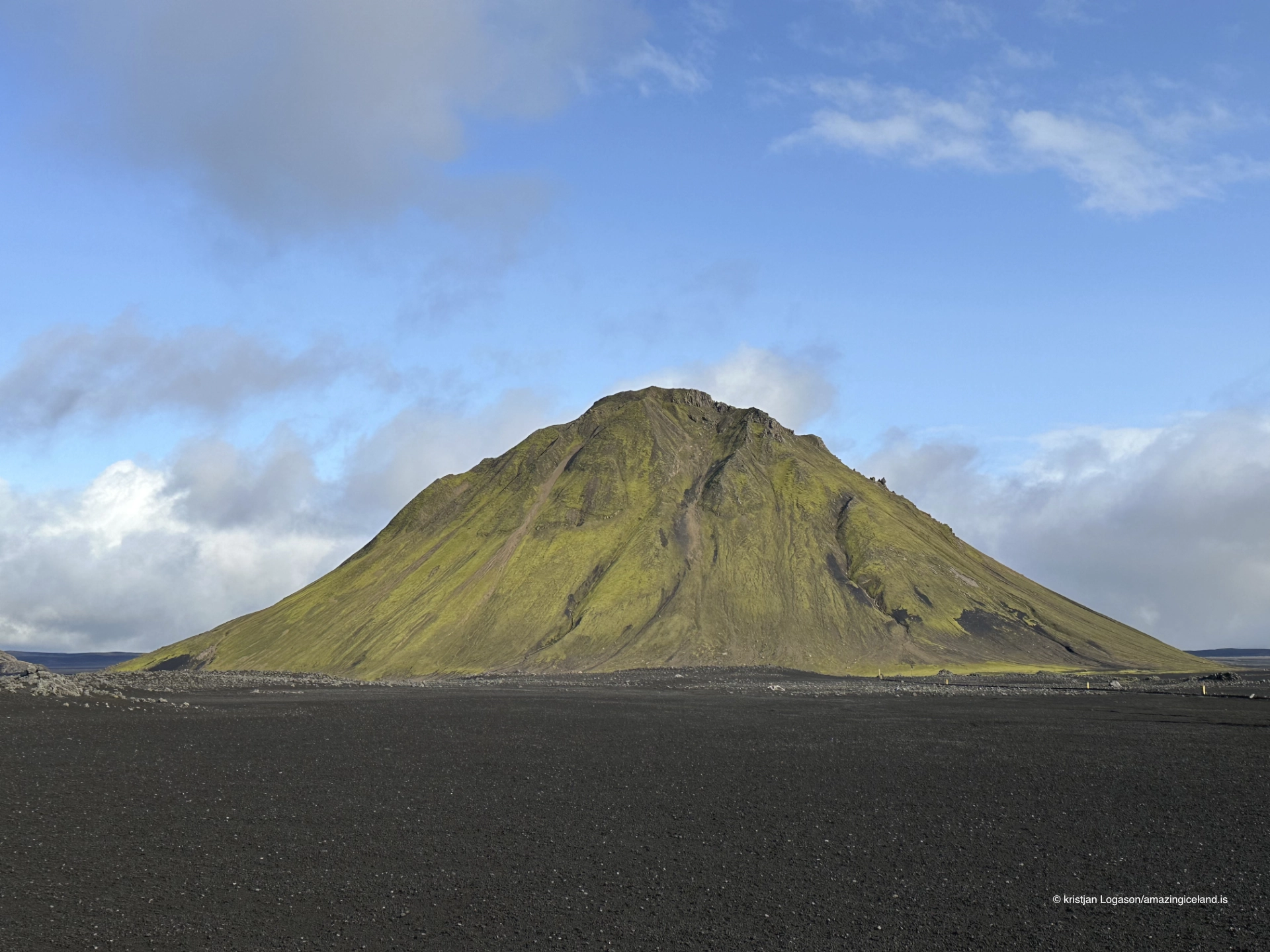
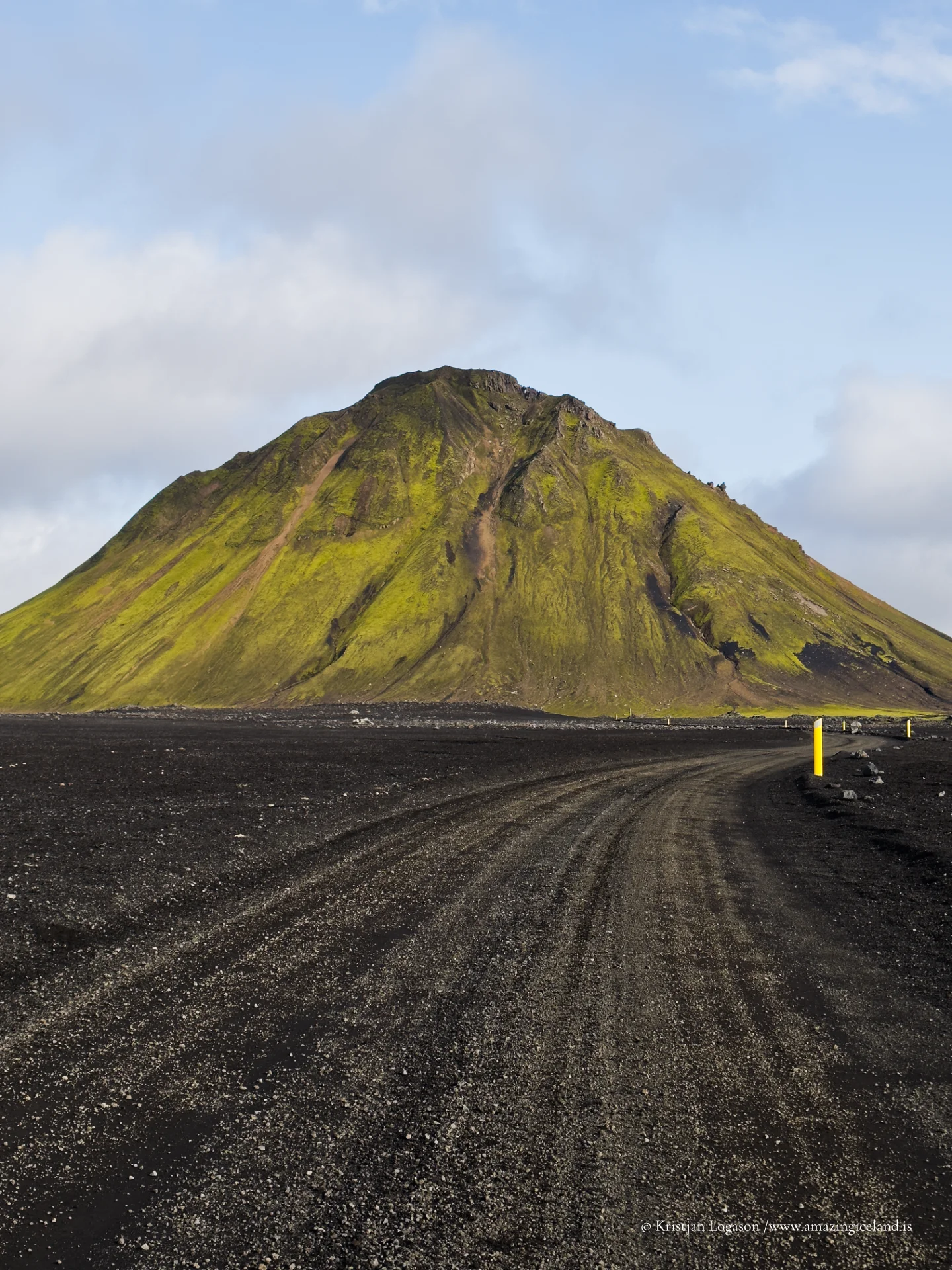
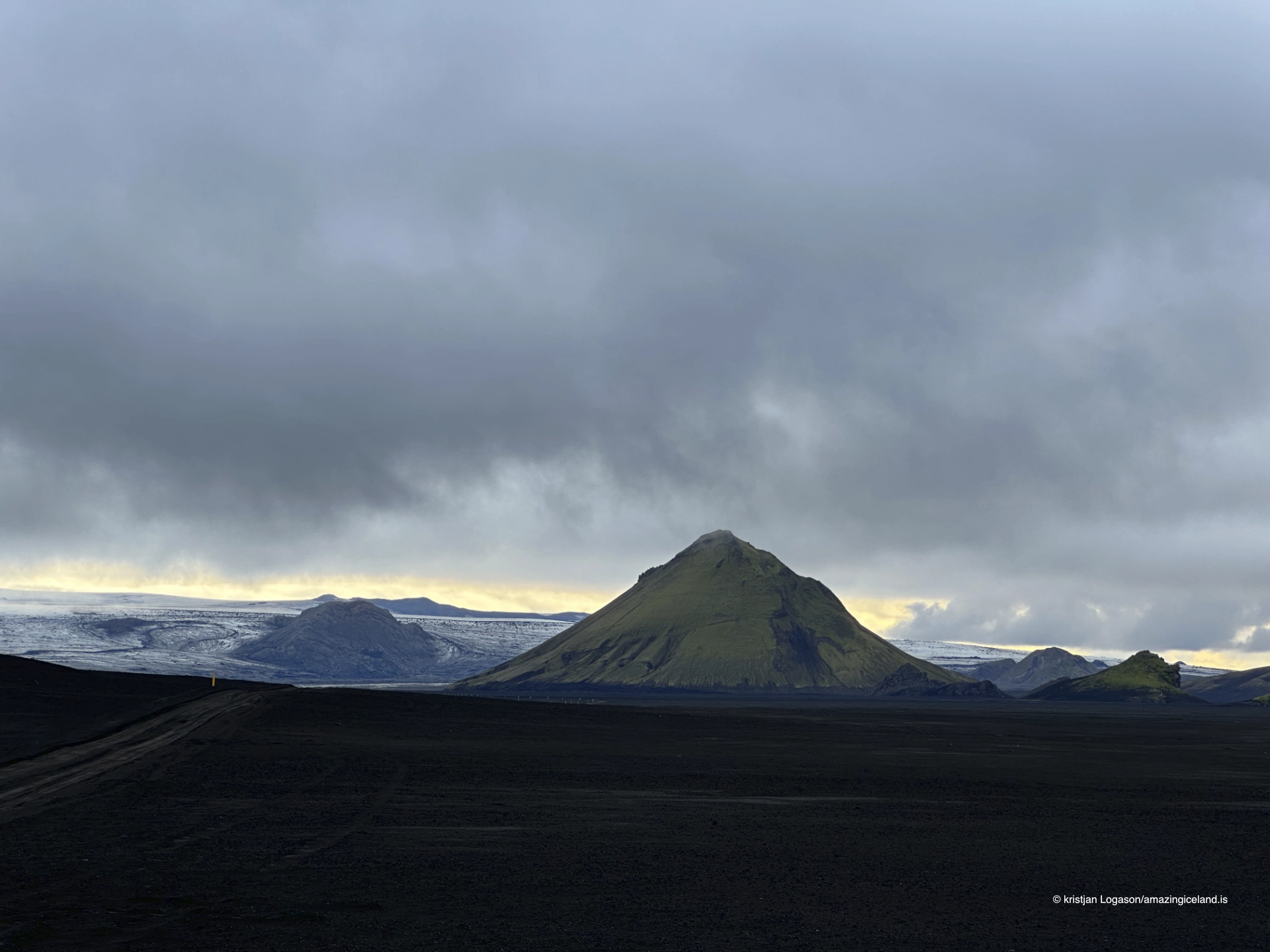
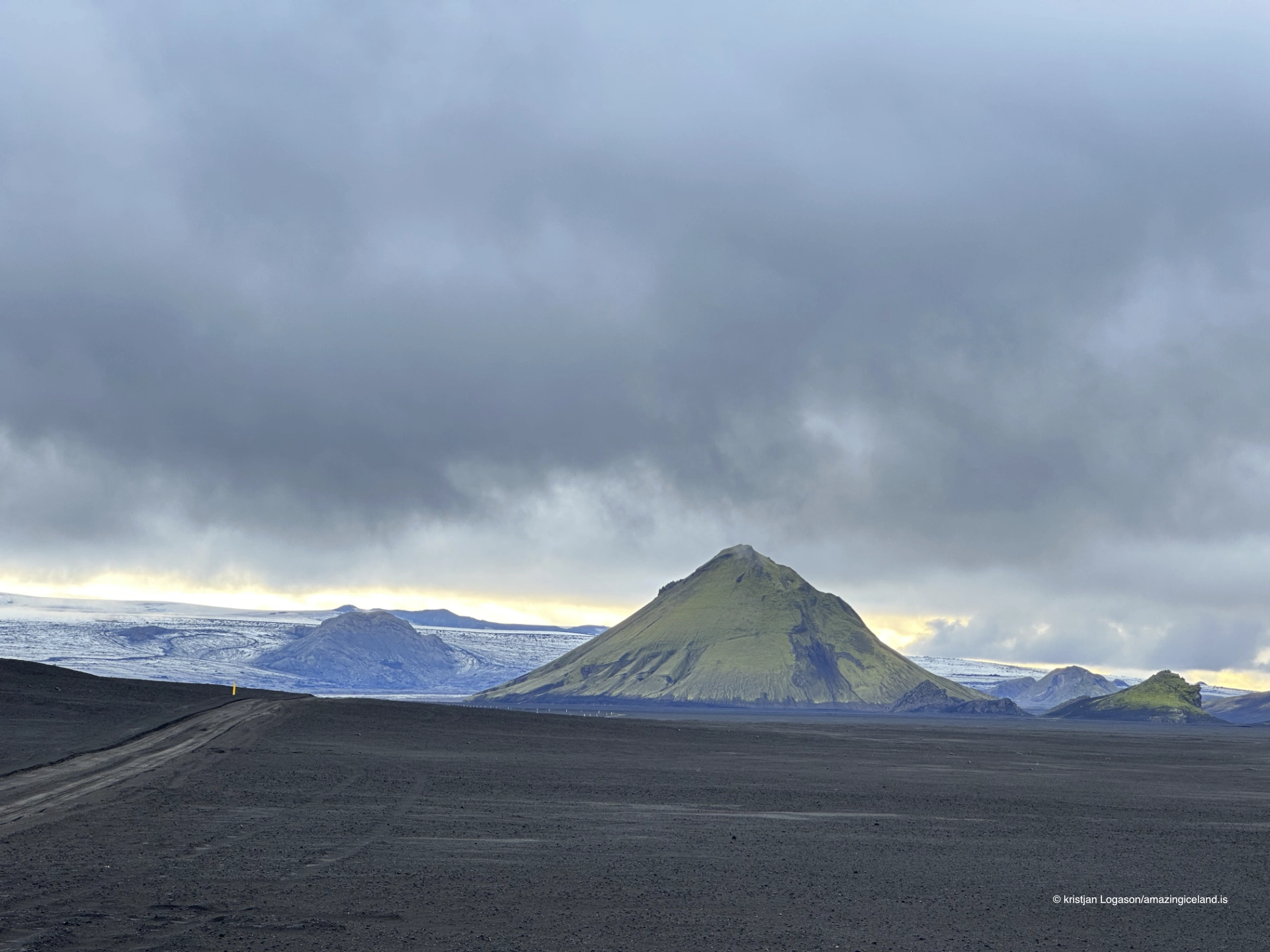
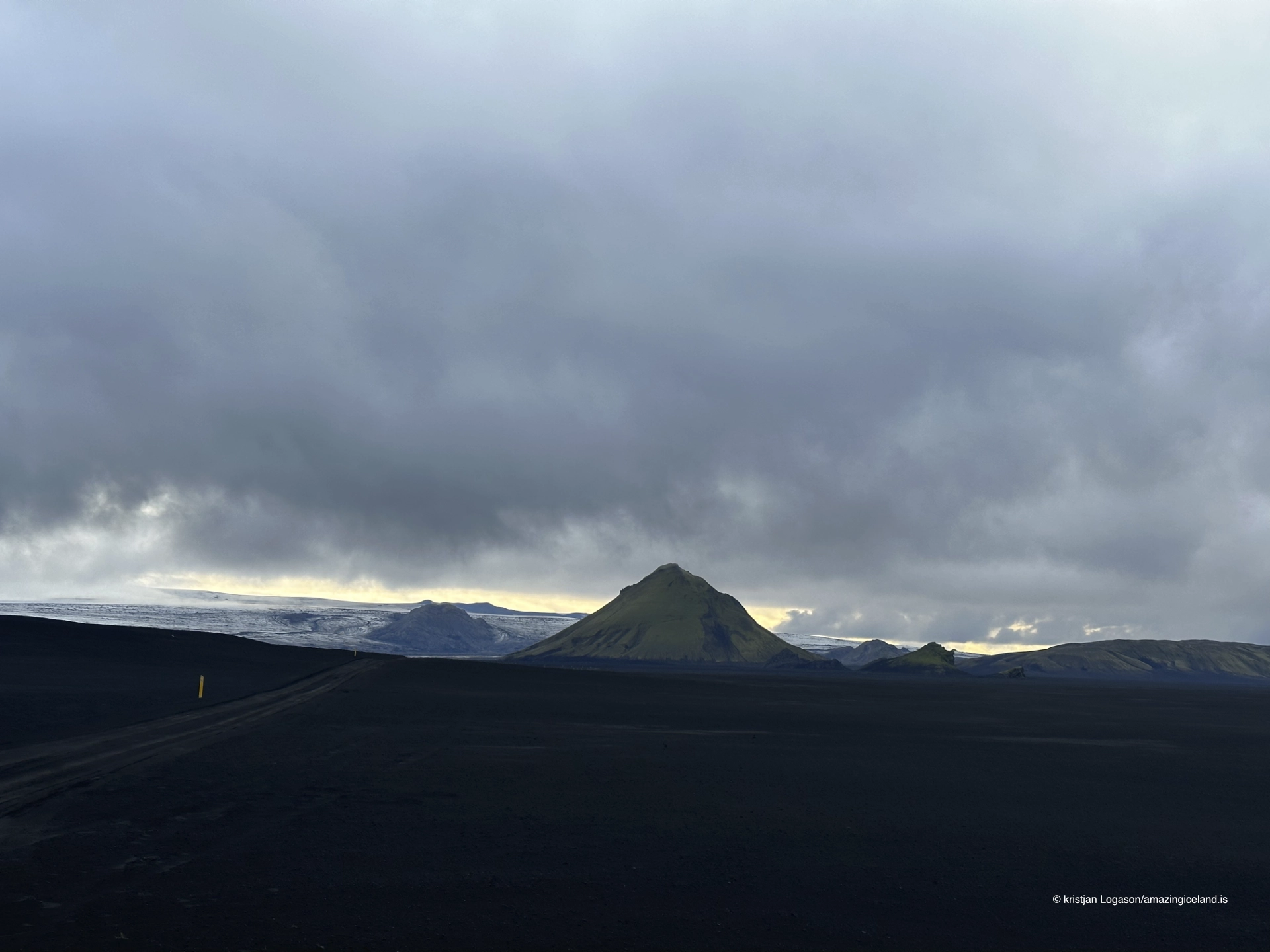
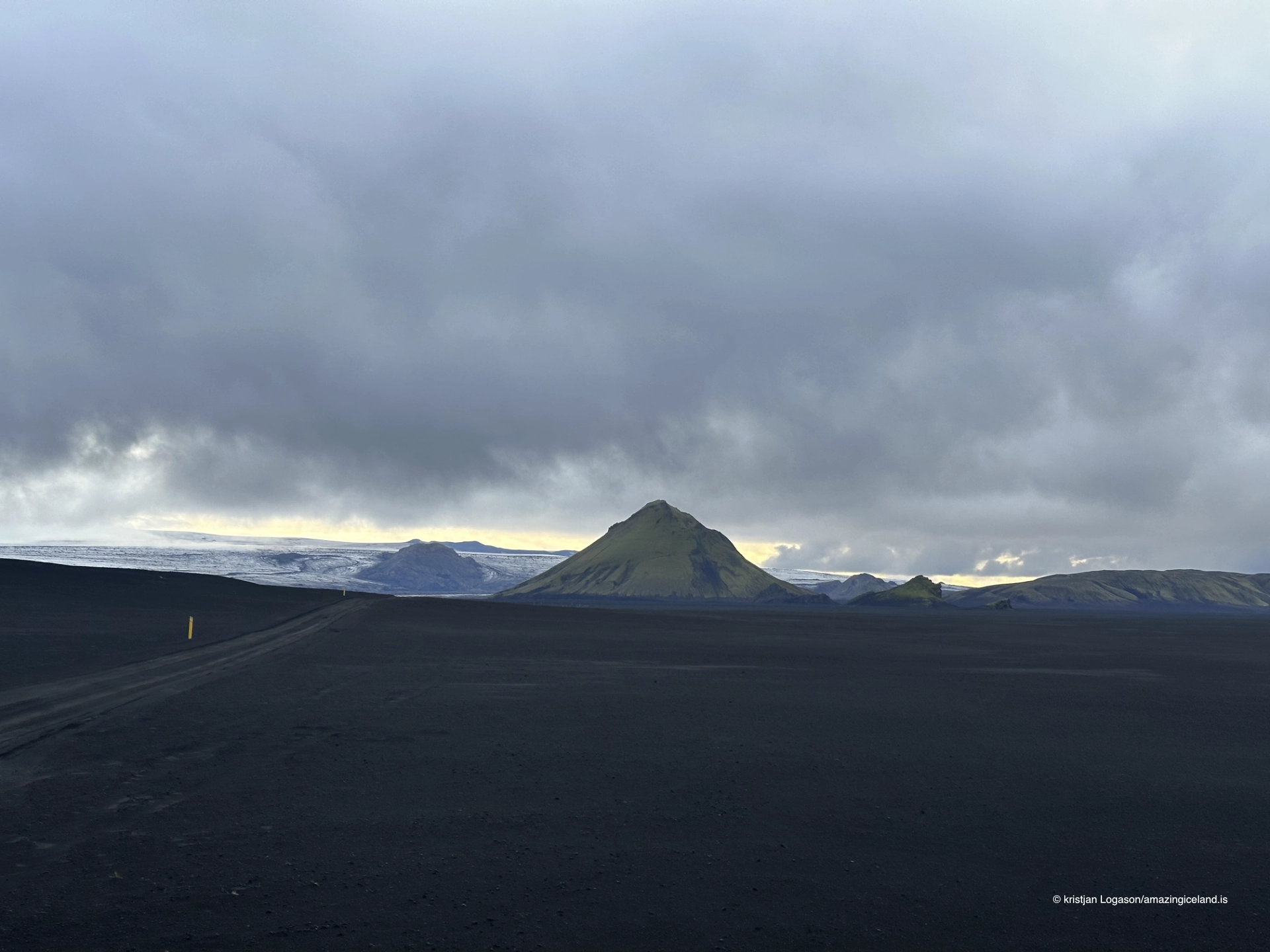
Mælifell is among the most recognisable mountains in Iceland’s southern Highlands. Its simple form, green slopes and isolation create a contrast that appears almost too deliberate: one moss-covered volcanic mountain standing above a broad plain of black sand, gravel and moving water.
The mountain reaches approximately 791 metres above sea level and rises more than 200 metres above the river plain at its foot. Those figures explain only part of its presence. Mælifell appears larger because little competes with it. The surrounding sandur leaves the cone exposed against the sky, while the roads and river channels below provide an immediate measure of scale.
There is no developed viewpoint, marked car park or visitor facility at Mælifell. The road gives the angle, and the journey is inseparable from the destination. F210 is a demanding through-route across the southern Highlands, with rough surfaces and several unbridged rivers. A high-clearance four-wheel-drive vehicle, suitable experience and a willingness to turn back are central to travelling here responsibly.
The location of Mt Mælifell volcano on the southern Fjallabak road F210
Latitude
63.7992
Longitude
-18.9386
Mt Mælifell volcano on the southern Fjallabak road F210
A green mountain rising from Mælifellssandur
Mælifell stands on Mælifellssandur between the Mýrdalsjökull and Torfajökull regions. Its steep, isolated shape distinguishes it from the ridges and wider mountain masses around it. From a distance, the cone can appear almost geometrically simple; closer views reveal erosion channels, uneven slopes and a surface shaped by water, wind, frost and gravity.
The official Icelandic map places the summit at approximately 791 metres above sea level. A point on the river plain southwest of the summit lies only about 625 metres away horizontally, demonstrating how abruptly the mountain rises. Without assigning a false precision to the changing ground below, it is reasonable to describe Mælifell as standing more than 200 metres above the surrounding plain.
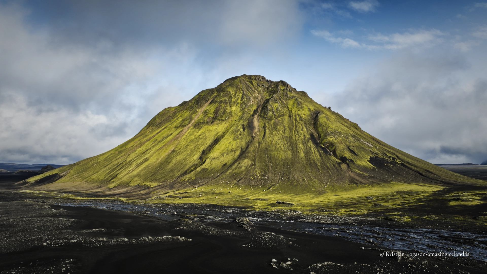
The extensive green cover is central to its appearance. It includes woolly fringe-moss, Racomitrium lanuginosum, a characteristic moss of Icelandic volcanic landscapes. The colour varies with moisture and light: after rain the slopes can become intensely green, while dry weather and hard sunlight reveal more subdued olive and yellow tones.
This vegetation is not a durable carpet. Highland moss grows slowly, and damage may remain visible for decades. On a steep slope, one line of footprints can become a route followed by others and develop into a permanent erosion scar. The feature that makes Mælifell exceptional is therefore also the part most easily damaged.
Formed beneath Ice Age ice
Mælifell formed through volcanic activity beneath a glacier during the Ice Age. Erupting material met ice and meltwater, cooled rapidly and fragmented. Volcanic material accumulated within the space controlled by the surrounding ice, helping to create the mountain’s steep, compact form.
As the climate warmed and the ice retreated, Mælifell was exposed above the surrounding landscape. Its present shape is not simply that of a small open-air cone, nor should it be described as an ordinary stratovolcano. It is an isolated subglacial volcanic mountain whose construction was influenced by ice, meltwater and rapid cooling.
Erosion has continued since the mountain emerged. Runoff cuts channels into the slopes, frost breaks exposed material apart and loose volcanic debris moves downslope. The green mantle can make the form appear smooth from afar, but the mountain is neither uniformly vegetated nor structurally simple at close range.

Sand, rivers and a landscape assembled from many sources
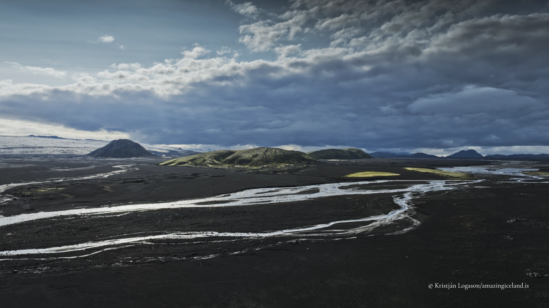
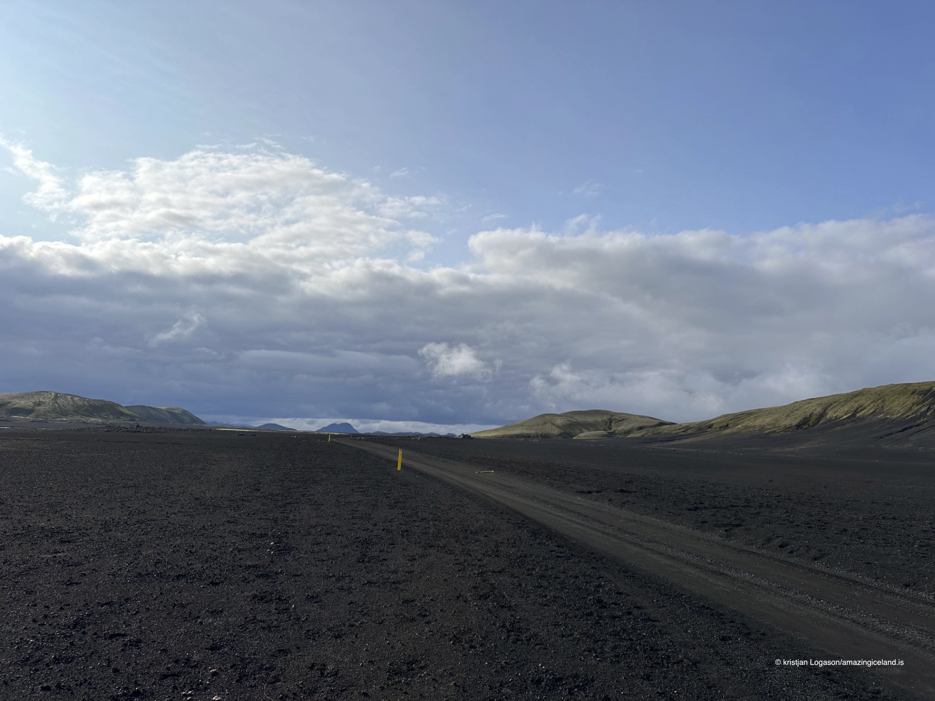
The black plain surrounding Mælifell is not the product of one volcano or one event. Its material has come from Katla, Veiðivötn and other volcanic sources and has subsequently been reworked by glaciers, meltwater, rivers and wind. Sand, ash, gravel and other volcanic fragments have been transported, sorted and redistributed repeatedly.
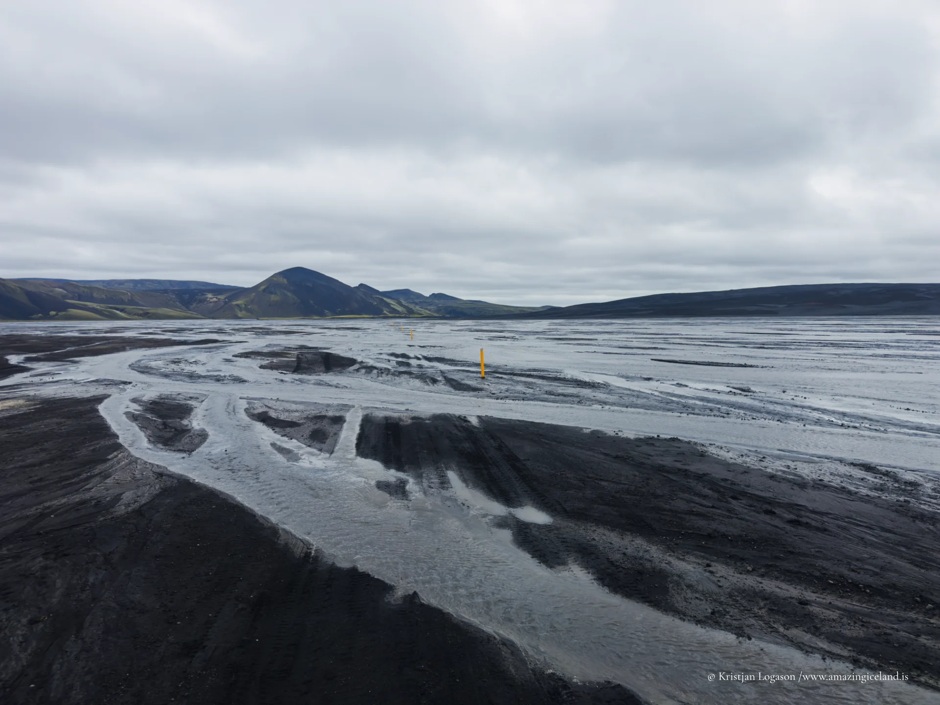
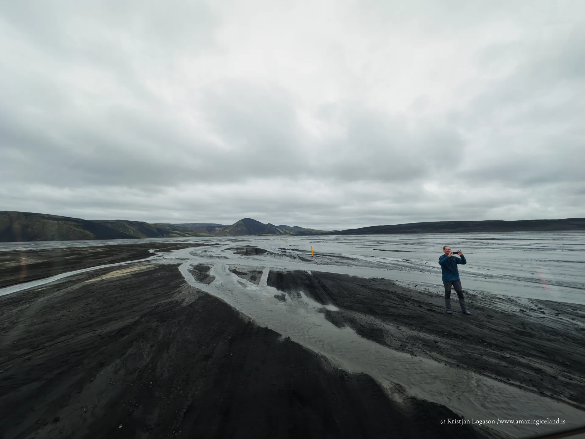
Water is still reshaping the surface. Channels divide and rejoin across the sandur, and their appearance can change with rainfall, snowmelt and glacial conditions. A dry-looking braid or shallow channel on one journey may carry substantially more water on another. This movement is part of the landscape’s visual character, but it also explains why access cannot be described by a permanent list of easy crossings.
Mælifell’s apparent stability is therefore set against a mobile foreground. The mountain remains the fixed landmark while water and sediment continually redraw the plain around it.
Reaching Mælifell by highland road
Mælifell stands beside F210, Fjallabaksleið syðri, a genuine through-route across the southern Highlands rather than a short destination spur. It can be approached along F210 from either direction, while F232 provides a connection from the south. These choices are not interchangeable: each introduces a different sequence of rough road, rivers and changing conditions.
A high-clearance four-wheel-drive vehicle is appropriate practical advice for this journey because crossings can be rocky and deep. The vehicle alone does not make a river safe. Driver experience, water level, current speed, riverbed, weather and the particular vehicle all matter.
The route opens only when seasonal conditions allow, and the date changes from year to year. Current road and weather information must be checked before setting out. Ordinary navigation software should not be allowed to choose the route simply because it appears shorter; the chosen approach determines which rivers must be crossed.
There are no services at Mælifell. Travellers should carry sufficient fuel, food, drinking water and warm clothing, and plan for delays or retreat. Mobile coverage should not be assumed. The journey deserves more time than a distance calculated on a screen suggests.
River crossings and the decision to turn back
Several unbridged rivers lie on the approaches to Mælifell. Hólmsá at Hólmsvað is among the important crossings associated with the route, but it is not the only water obstacle. Conditions at one ford do not establish what will be encountered farther ahead.
No written description can provide a permanently safe crossing line. Glacial and highland rivers can alter rapidly, and a line used by another vehicle may not suit a smaller or differently configured one. If the water appears too deep, fast or uncertain, turn back. There is no photograph of Mælifell worth forcing a doubtful crossing.
Water levels may also rise during the day or after rain. Anyone travelling a route that requires returning across the same river must consider what the crossing may be like later, not only at the moment of arrival. Following another vehicle is not a substitute for making an independent assessment.
The most important skill on F210 is not determination but judgement. Reaching the mountain is conditional, and retreat is a normal outcome when the road, river or weather says no.
Viewing Mælifell from F210
There is no constructed viewpoint at Mælifell. Different positions along F210 reveal different relationships between the mountain, river channels, road, sandur and distant ice. In that sense, the road itself provides the viewpoint.
Visitors should use an existing pull-off or a durable widened place where the vehicle can stand completely clear of the track. Creating a new parking place by driving onto undisturbed sand, vegetation or moss is off-road driving. The open appearance of Mælifellssandur does not make every surface a road.
The destination coordinate identifies the mountain rather than an invented visitor facility. It should not be interpreted as a point to drive towards across the plain. Remain on the established route and choose only a safe, durable stopping place.
Why climbing Mælifell is discouraged
Climbing Mælifell is discouraged for conservation reasons, although this is guidance rather than a formal prohibition. There is no developed summit trail presented as part of the visitor experience. The slopes are steep, the underlying material can be loose, and crossing intact moss can leave damage that lasts for decades.
An individual footprint may appear insignificant, but repeated use quickly establishes a visible line. Water then follows disturbed ground and enlarges it. On a mountain valued precisely for its continuous green covering, that cumulative effect is particularly destructive.
Mælifell is best experienced from the road and the durable ground of the surrounding plain. Restraint is not a loss here. Distance preserves the cone’s isolation, reveals its scale and protects the surface that gives the mountain its identity.
A remote journey without services
Weather moving in from the south can reduce visibility quickly. Low cloud may hide Mælifell completely and make both navigation and river assessment more difficult. Strong wind, cold rain and poor visibility can occur even during the highland-road season.
Plans should remain flexible. If cloud removes the view, a river rises or the road becomes unsuitable, continuing merely because Mælifell is the intended destination is poor judgement. The mountain will remain; the safe opportunity to reach it may belong to another day.
Drone photography may be possible at Mælifell, but it is not unrestricted. Pilots must check the aviation and land-management rules in force on the day, maintain appropriate distances and avoid disturbing people or wildlife. A lack of a site-specific prohibition does not remove the general rules governing flight.
Interesting facts:
-
- Mælifell reaches approximately 791 metres above sea level.
- The mountain rises more than 200 metres above the surrounding river plain.
- It formed through volcanic activity beneath Ice Age ice.
- Its slopes carry extensive moss, including woolly fringe-moss, Racomitrium lanuginosum.
- The black material of Mælifellssandur comes from Katla, Veiðivötn and other sources and has been reworked by ice, water and wind.
- F210 is a through-route across the southern Highlands and includes several unbridged river crossings.
- There is no formal viewpoint at Mælifell; different positions along the road provide different views.
- Climbing the mountain is discouraged to protect its slow-growing moss cover.
Image Gallery
Photography tips:
-
- Work with changing positions along F210 rather than searching for one canonical viewpoint.
- Photograph from enough distance for the cone to remain isolated within the black plain.
- Use the road, a vehicle or braided river channels sparingly when a measure of scale is needed.
- A longer lens can compress Mælifell against distant ice and simplify the open landscape.
- Lower viewpoints can separate the green cone against the sky, while elevated views reveal the relationship between the mountain and shifting drainage patterns.
- Overcast light gives rich but natural moss colour and retains detail in the black sand.
- Broken sunlight can isolate the cone dramatically from the plain.
- Low side light reveals erosion channels and models the mountain more clearly than overhead light.
- Mist and low cloud can simplify the landscape, but never let photography distract from deteriorating road or river conditions.
- Keep greens and blacks restrained in processing. Their natural contrast needs little exaggeration.
- Do not drive off the established road or walk onto intact moss for a cleaner composition.
- Stop only where the vehicle can stand safely and completely clear of the track.
- Drone pilots must verify current aviation and land-management rules before flying.
Destinations nearby