Ljótipollur crater lake near Landmannalaugar
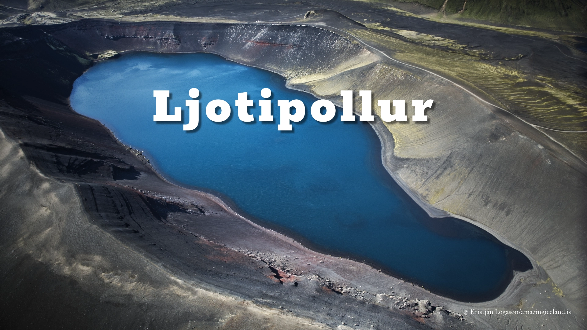
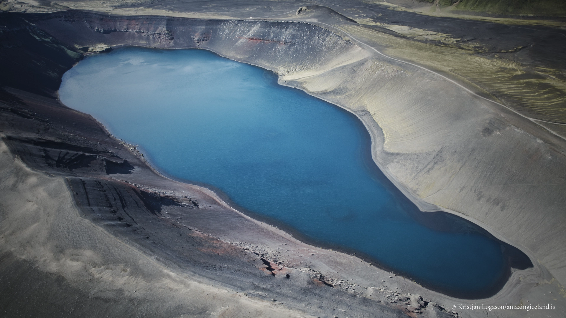
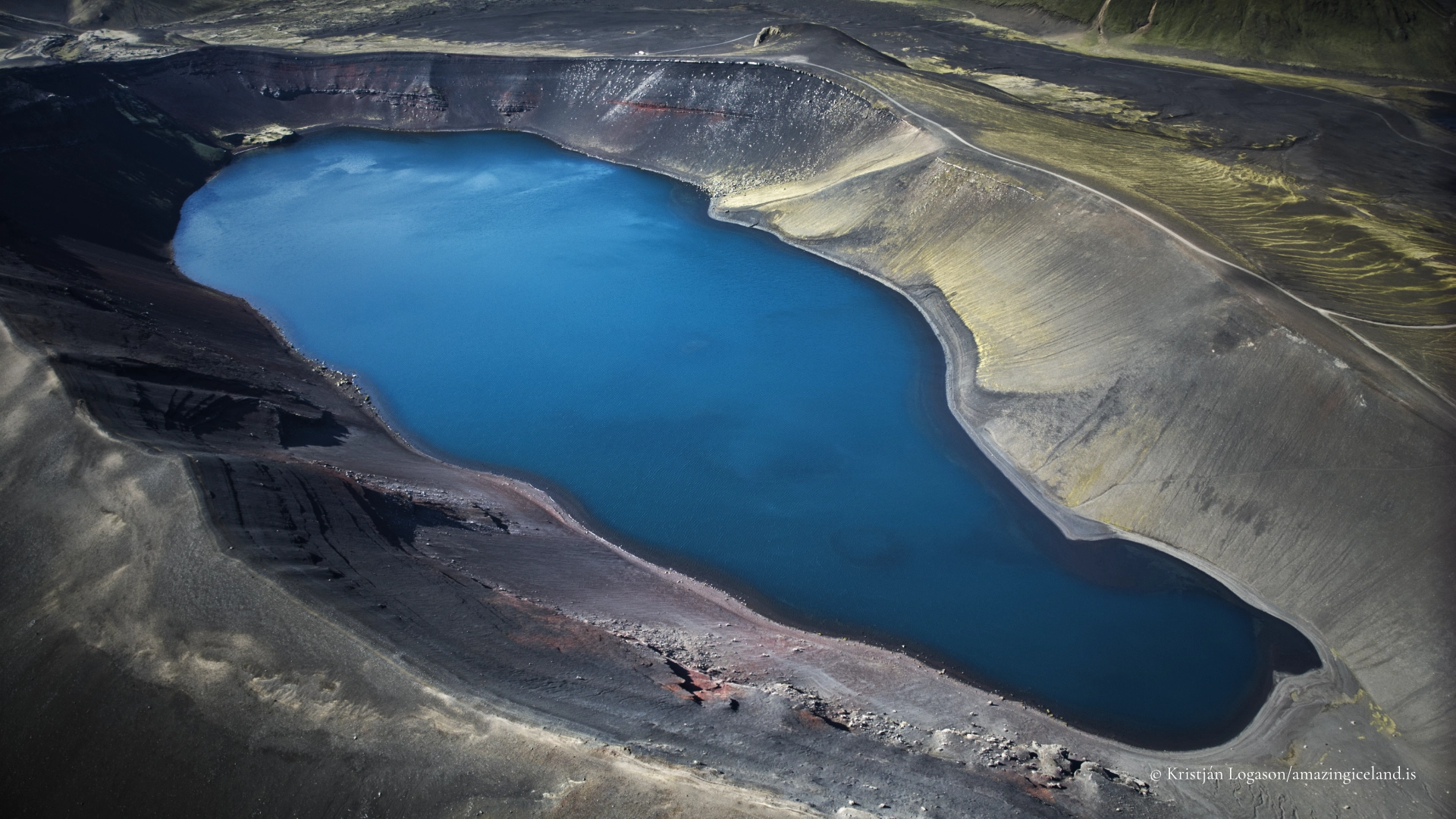
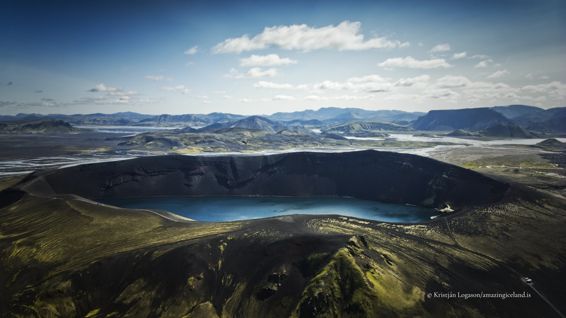
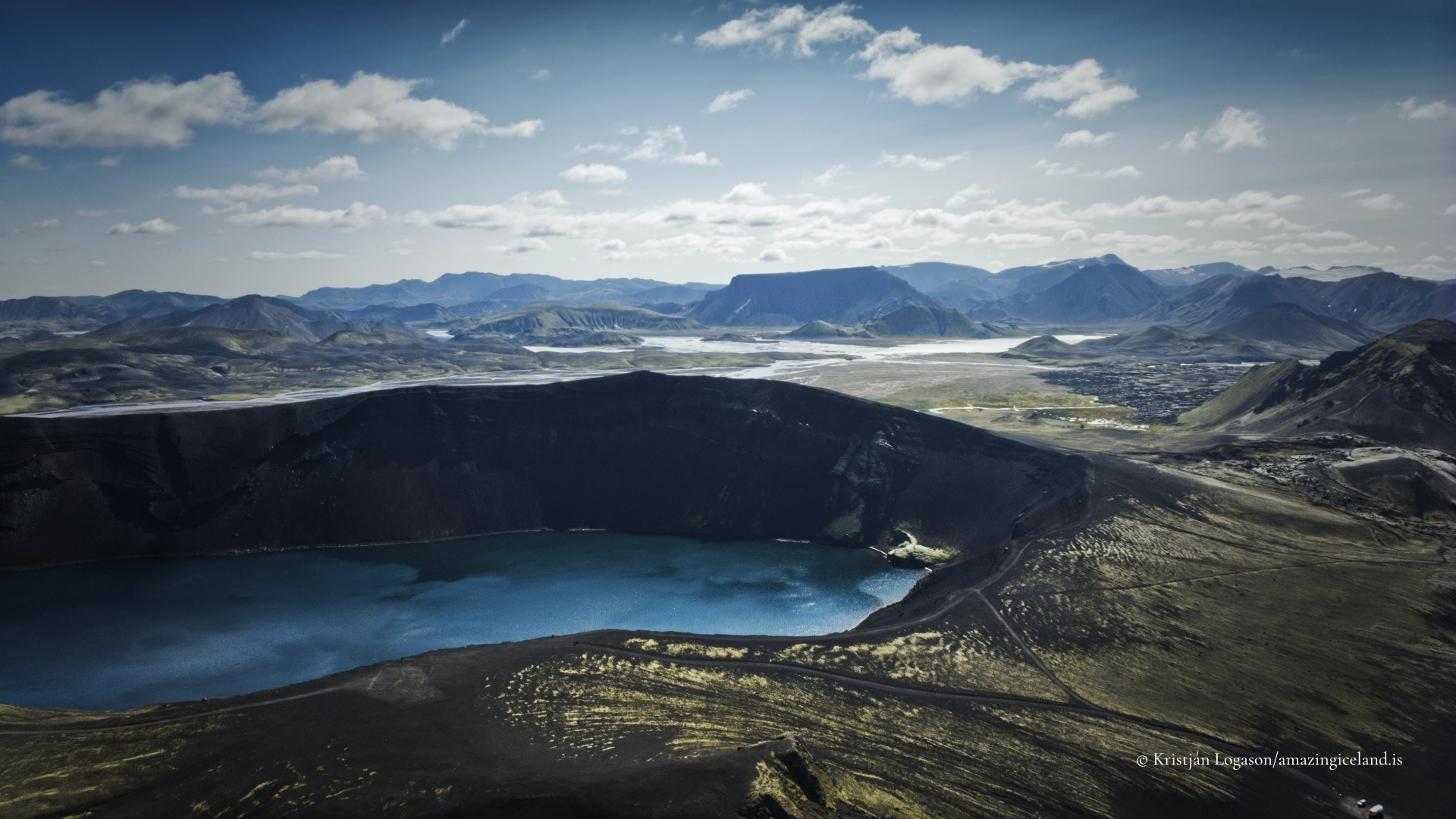
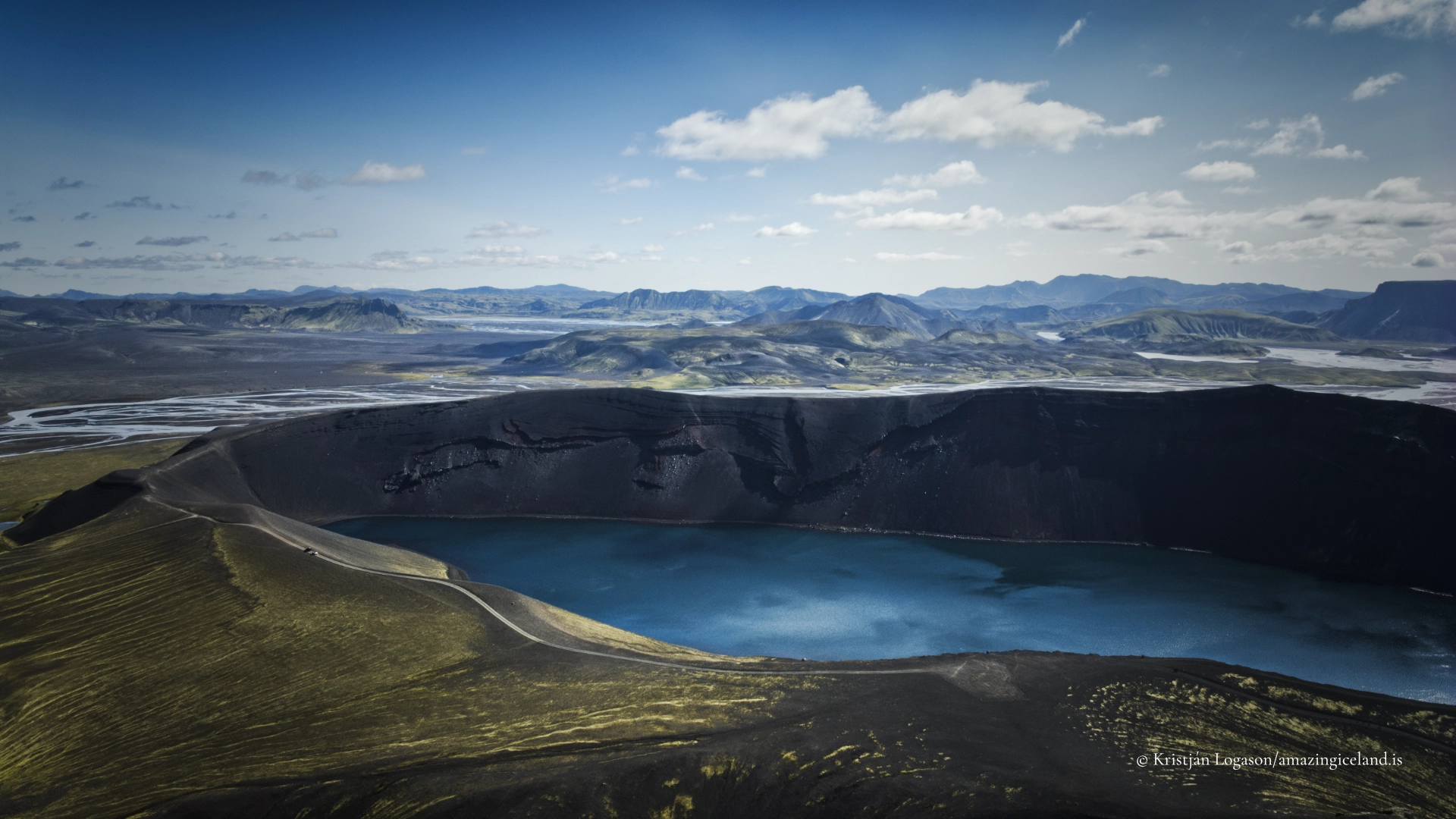
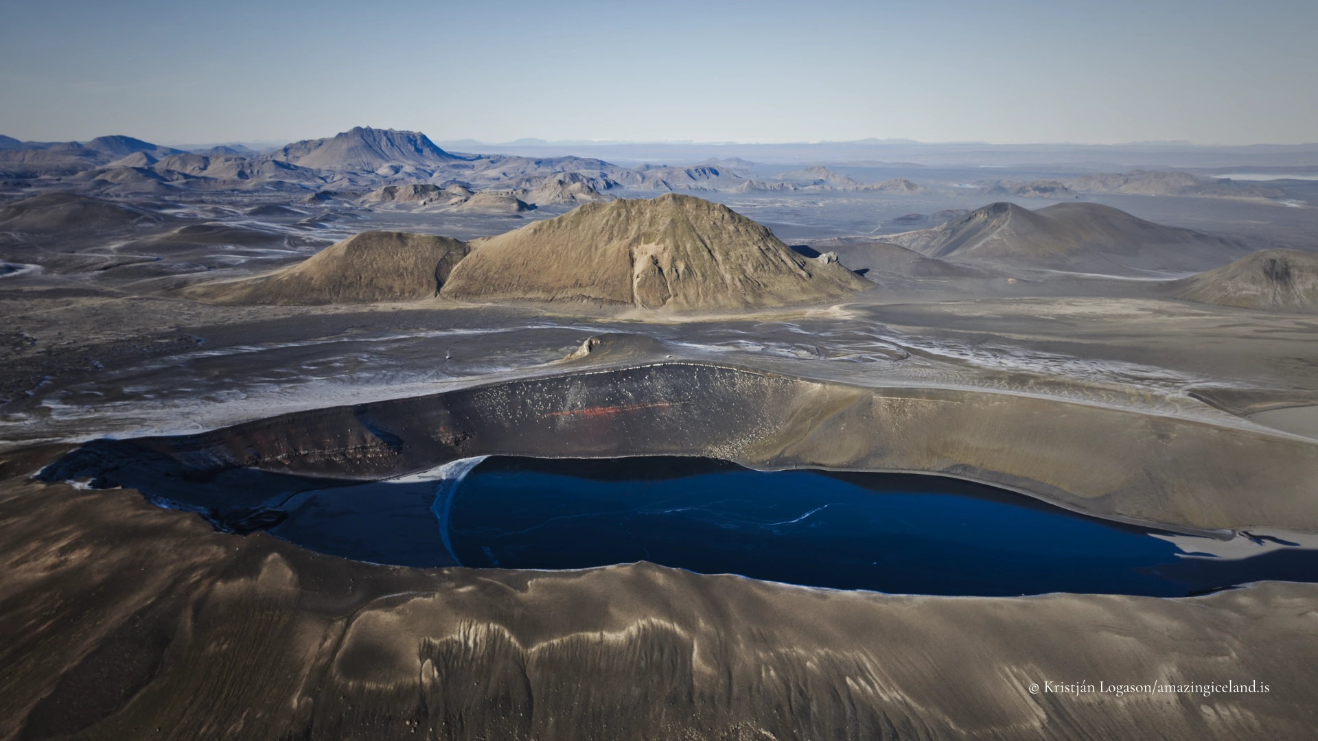
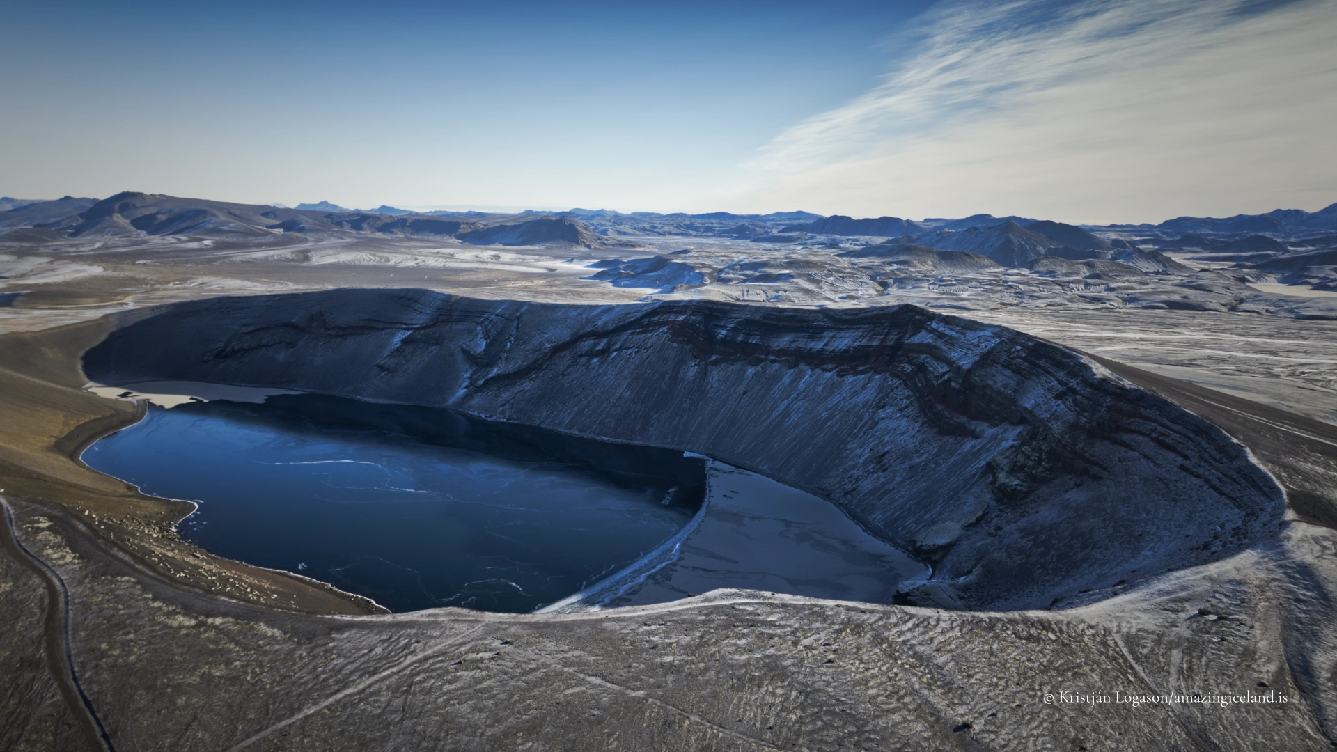
Ljótipollur means “Ugly Puddle,” but few Icelandic place names seem less suited to the landscape they describe. A dark lake occupies the floor of an elongated crater whose exposed walls move through red, brown and black, with green vegetation tracing the more sheltered slopes. From the rim, the complete formation can be read at once: water held inside an explosion crater, surrounded by the open country of Fjallabak.
The crater formed during the Veiðivötn eruption of 1477, the same extensive eruptive episode that created several features across the central Highlands. Ljótipollur is therefore connected geologically with Veiðivötn and nearby features from the same event, while remaining a distinct destination within Fjallabak Nature Reserve.
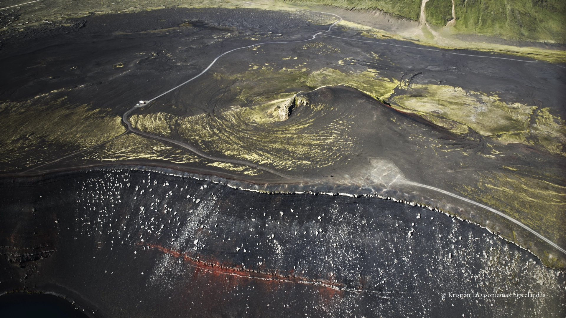
A short side track from F208 leads to a designated parking area below the main viewpoint. The former vehicle track farther up the crater has been fenced off. Visitors now leave their vehicles at the parking area and continue on foot, preserving both the crater slopes and the experience of arriving at the rim.
The location of Ljótipollur crater lake near Landmannalaugar
Latitude
64.0349
Longitude
-19.0113
Ljótipollur crater lake near Landmannalaugar
An explosion crater from the eruption of 1477
Ljótipollur lies on the Veiðivötn volcanic fissure system and formed during its major eruption in 1477. The event opened a long series of vents across the Highlands and produced extensive basaltic activity. At Ljótipollur, hot eruptive material encountered water-saturated ground.
The water beneath the hot material was rapidly converted to steam. With the expanding gases trapped below, pressure increased until the ground was blown apart. Repeated explosions excavated a broad depression rather than building a conventional volcanic cone. In Icelandic, a feature formed through this kind of explosive interaction is called a sprengigígur—an explosion crater.
The basic interaction between hot volcanic material and wet ground is also responsible for the pseudocraters found around Mývatn, although the resulting landforms are not identical in form or scale. At Ljótipollur, the process created a substantial crater that later filled with water.
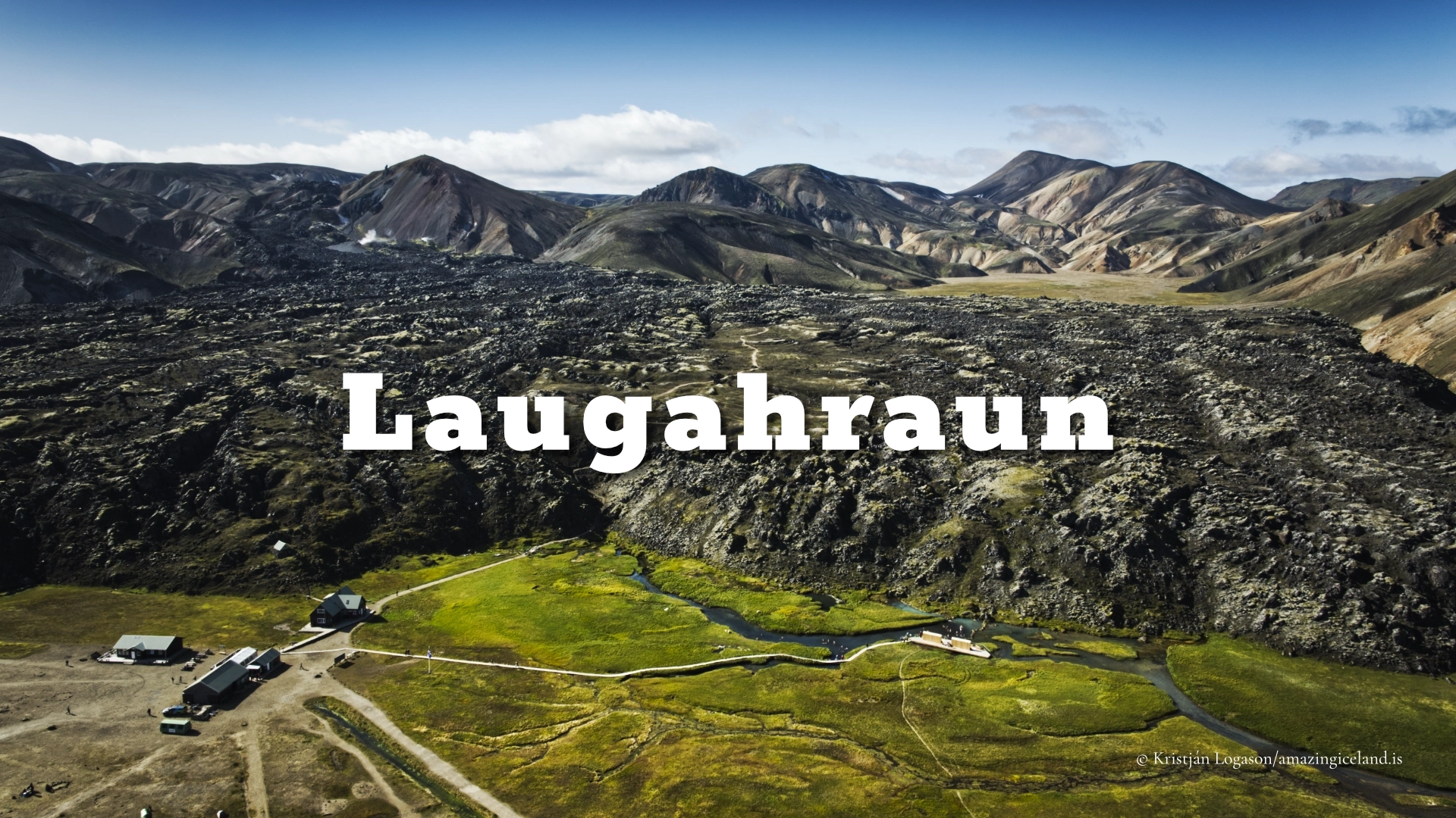
The wider 1477 episode also involved the neighbouring Torfajökull volcanic system, where rhyolitic magma produced Laugahraun at Landmannalaugar. The two landscapes should not be confused. Ljótipollur is a basaltic explosion crater of the Veiðivötn system; Laugahraun is a rhyolitic lava flow produced within Torfajökull during the connected regional disturbance.
Red crater walls and a lake without visible drainage
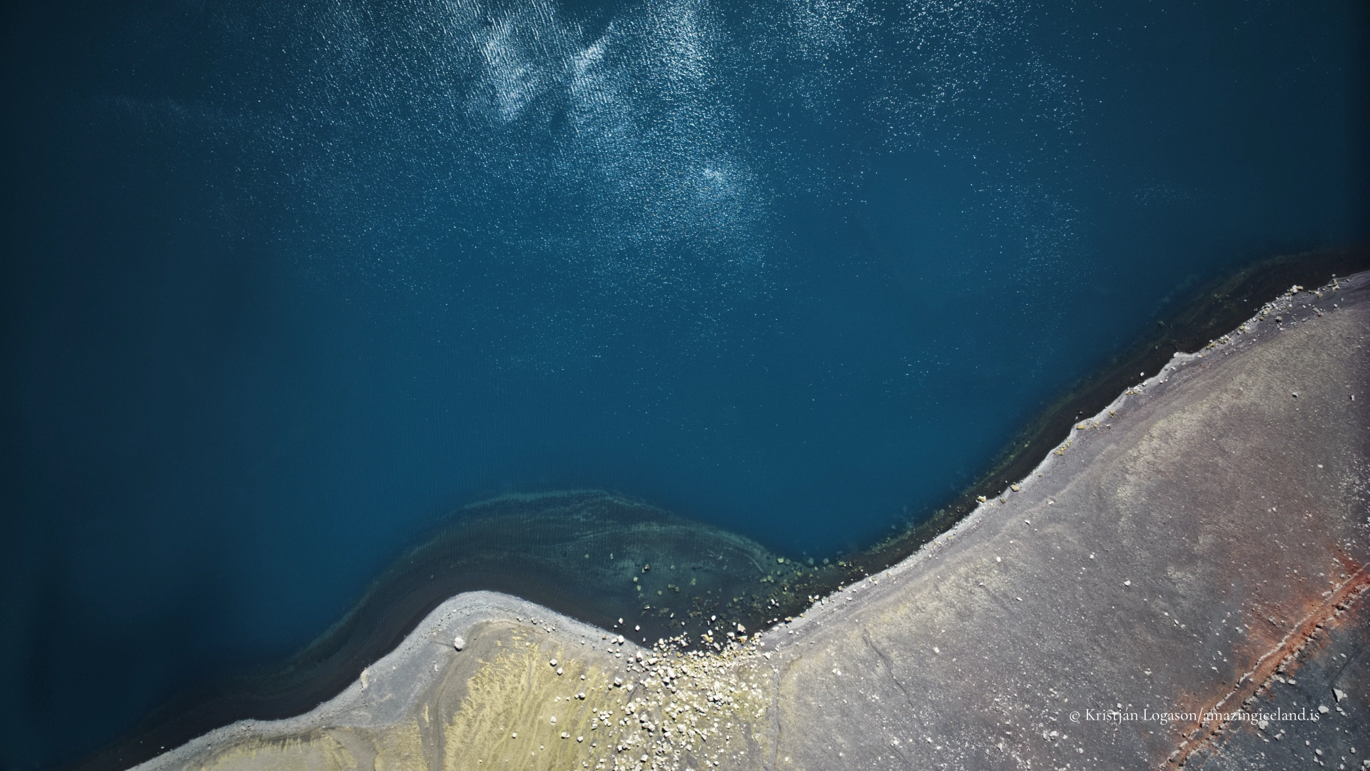
Ljótipollur covers approximately 0.42–0.45 square kilometres and reaches a maximum depth of about 14 metres. The lake has no visible inlet or outlet. Water occupies much of the crater floor, but the lake is not so deep that depth alone explains its colour. Its appearance changes with reflected sky, direct light, wind, water clarity and the angle from which it is seen.
In calm conditions, the surface may appear dark blue or blue-green and can reflect parts of the crater wall. Wind replaces reflection with texture and often makes the lake feel larger and more exposed. Under cloud, the water can become subdued or almost grey. Bright photographs should therefore not be treated as a promise of one permanent turquoise colour.
The crater walls carry the colours for which Ljótipollur is best known. Iron-bearing volcanic material has oxidised, producing red and brown surfaces among darker eruptive layers. Erosion has cut channels through the loose material, while mosses and other hardy vegetation occupy more stable ground. The result is not a simple wall of red tephra but a varied record of eruption, oxidation, weathering and plant colonisation.
Because the crater remains largely open and unobstructed, its form is unusually easy to understand from above. The lake defines the floor, the coloured slopes reveal the excavated walls, and the rim separates the enclosed crater from the much broader Fjallabak landscape.

Brown trout, Arctic char and the question of their arrival
Ljótipollur has long been known as a fishing lake. Brown trout live in the lake, and Arctic char have also been recorded. Their presence is particularly intriguing because no stream can be seen entering or leaving the crater.
The absence of visible drainage raises an obvious question: how did fish first reach an isolated lake inside an explosion crater? Their history is not fully explained by the landscape visible today, and that uncertainty is part of the lake’s story. It should not be replaced with an invented account of natural migration or stocking unless firm historical evidence becomes available.
Fishing requires permission for this particular water. There is no single freshwater licence that automatically grants access to every Icelandic lake. Anglers should obtain the current permit and check the applicable season and rules before travelling. The established approach used by anglers descends towards the water from the eastern end. It is not excessively steep in normal summer conditions, but the ground remains natural and the return climb requires sound footing, particularly when carrying equipment.
Reaching Ljótipollur from F208
The access track branches from F208 north of Frostastaðavatn and Landmannalaugar. It is short, mostly sandy towards the end, and leads to a designated parking area with space for approximately ten vehicles. In normal summer conditions, an ordinary four-wheel-drive vehicle can normally reach it.
The former track continuing higher onto the crater has been fenced off. Drivers must stop at the designated parking area rather than following old descriptions or map traces that show vehicles climbing farther up. The closure protects the crater surface and prevents the upper slopes from becoming an informal road and parking area.
There are no dependable toilets, shelter, viewing platform or barrier at Ljótipollur. Visitors should arrive prepared for an undeveloped highland stop and take all waste away with them. If the small parking area is full, drivers should wait or return later rather than create new spaces on undisturbed ground or obstruct the track.
The ease of the final side track does not describe the complete journey. Northern F208 is generally the most straightforward road approach and has no river crossings before this part of Fjallabak. F225 from the west and F208 from the south involve different conditions; the southern section of F208 includes numerous rivers that can become deep. Road status, weather and river levels must be checked before departure, and rental or vehicle restrictions still apply.
Highland roads are seasonal, but fixed opening dates are unreliable. Snow cover, thaw, flooding and road damage determine when each route becomes passable. A road that was straightforward on a previous visit may not offer the same conditions the next time.
The crater rim and the path to the lake
From the parking area, visitors continue on foot to the crater view. The approach is short, and the elevated position soon reveals the lake and most of the inner walls together. This main view is enough to understand the scale and structure of Ljótipollur, but short explorations on established ground can reveal how much the crater changes with direction.
A complete circuit of the rim should not be presented as the standard visitor walk. The crater is large, its natural edges are unprotected, and conditions underfoot vary. Anyone continuing beyond the principal viewpoints must judge the terrain rather than assume that a continuous, maintained circular path exists.
Care is always needed near the edge. Loose volcanic material can shift, and a rim that looks firm from above may be undercut or unstable. There are no barriers to define a safe distance. Visitors should remain well back, particularly when looking through a camera, moving backwards for a composition or setting up a tripod.
The established anglers’ path at the eastern end provides the practical descent to the lake. Other direct lines down the crater wall should not be treated as shortcuts. Loose slopes are easily eroded, and repeated informal descents create damage that is visible from across the crater.
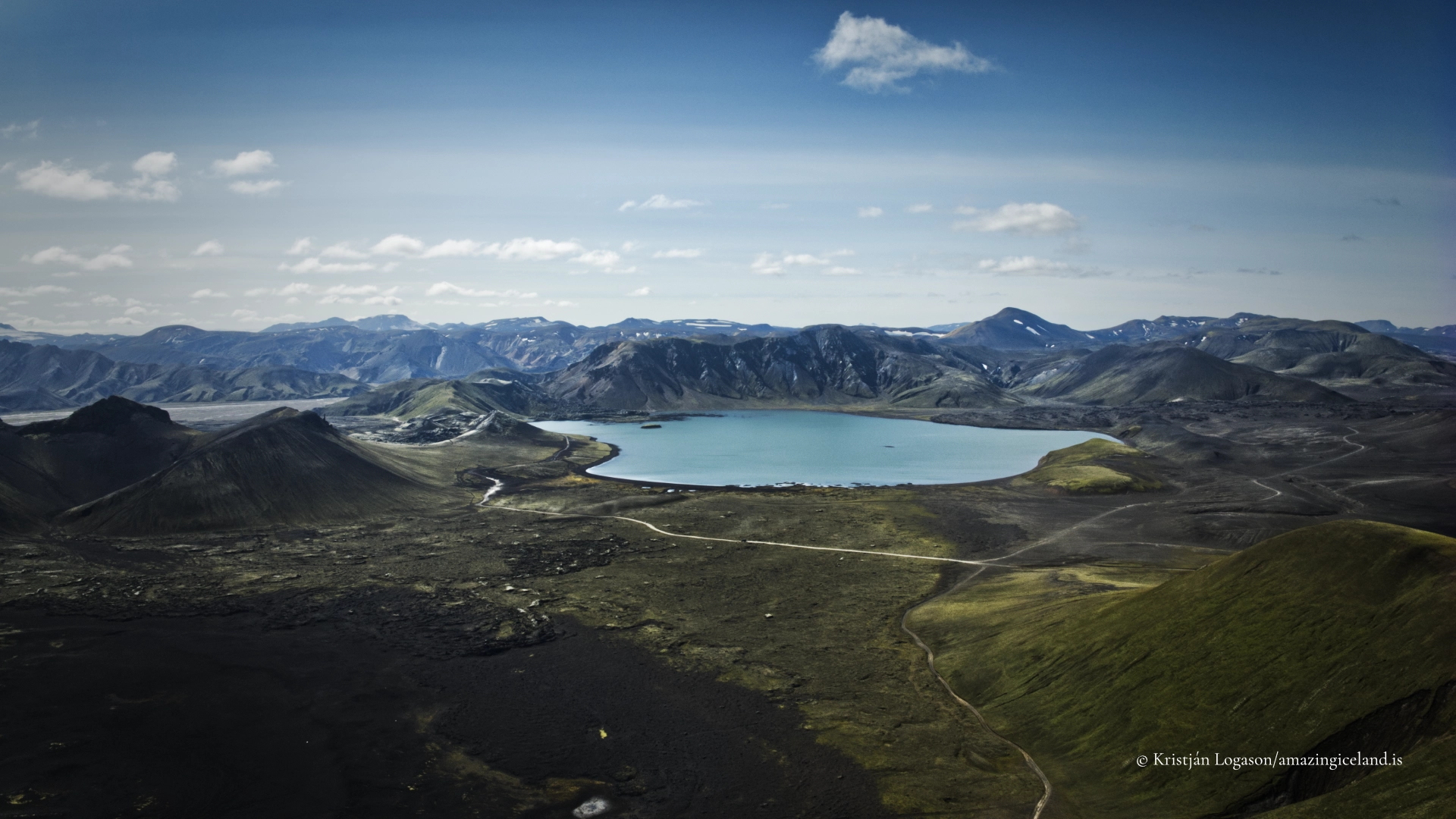
Ljótipollur lies close enough to Hnausapollur and Frostastaðavatn for all three to be seen during the same journey, but they preserve different geological histories. Hnausapollur is an older settlement-period explosion crater. Frostastaðavatn is a broad, shallow lake shaped by lava rather than an explosion crater. Ljótipollur belongs to the much later 1477 eruption and is distinguished by its elongated form and strongly coloured inner walls.
Travelling within Fjallabak Nature Reserve
Protected status matters through what visitors do on the ground. Vehicles must remain on established roads and stop at the designated parking area. Walking should follow existing paths and durable surfaces. Red tephra, obsidian and other volcanic material must remain where they are found, and vegetation should not be disturbed to open a route or improve a photograph.
Off-road driving is prohibited. The fenced upper track is not an invitation to find another way around, and old tyre marks do not turn damaged ground into an authorised road. The same restraint applies on foot: using the established eastern descent causes less damage than creating a new line down the crater wall.
Drone use within Fjallabak is regulated. During the summer permit period, flying requires permission from the responsible nature-conservation authority. Outside that period, national aviation rules and any other restrictions still apply. Current requirements should always be checked before flying, and aircraft should be kept away from visitors, anglers and sensitive wildlife.
Interesting facts:
-
- Ljótipollur means “Ugly Puddle,” making it one of Iceland’s most conspicuously misnamed landscapes.
- The crater formed during the Veiðivötn eruption of 1477.
- It is a sprengigígur, or explosion crater, produced when hot eruptive material encountered water-saturated ground.
- The lake covers approximately 0.42–0.45 square kilometres and is about 14 metres deep at its deepest point.
- No visible stream enters or leaves the lake.
- Brown trout live in Ljótipollur, and Arctic char have also been recorded.
- Fishing requires a permit for the lake.
- The former vehicle track higher onto the crater has been fenced off; visitors now park below and continue on foot.
- Nearby Hnausapollur formed roughly six centuries earlier, during the Vatnaöldur eruption around Iceland’s settlement period.
Image Gallery
Photography tips:
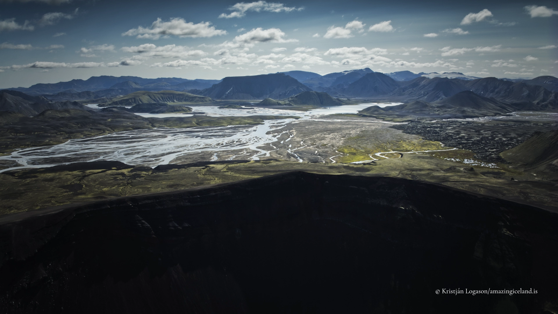
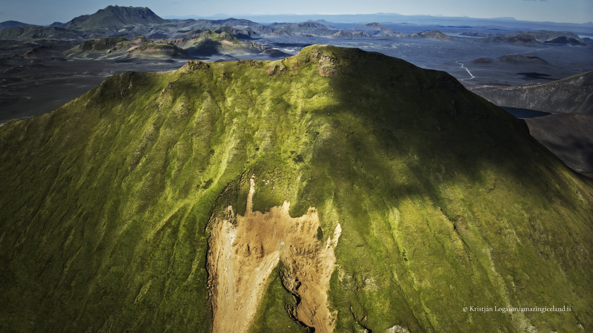
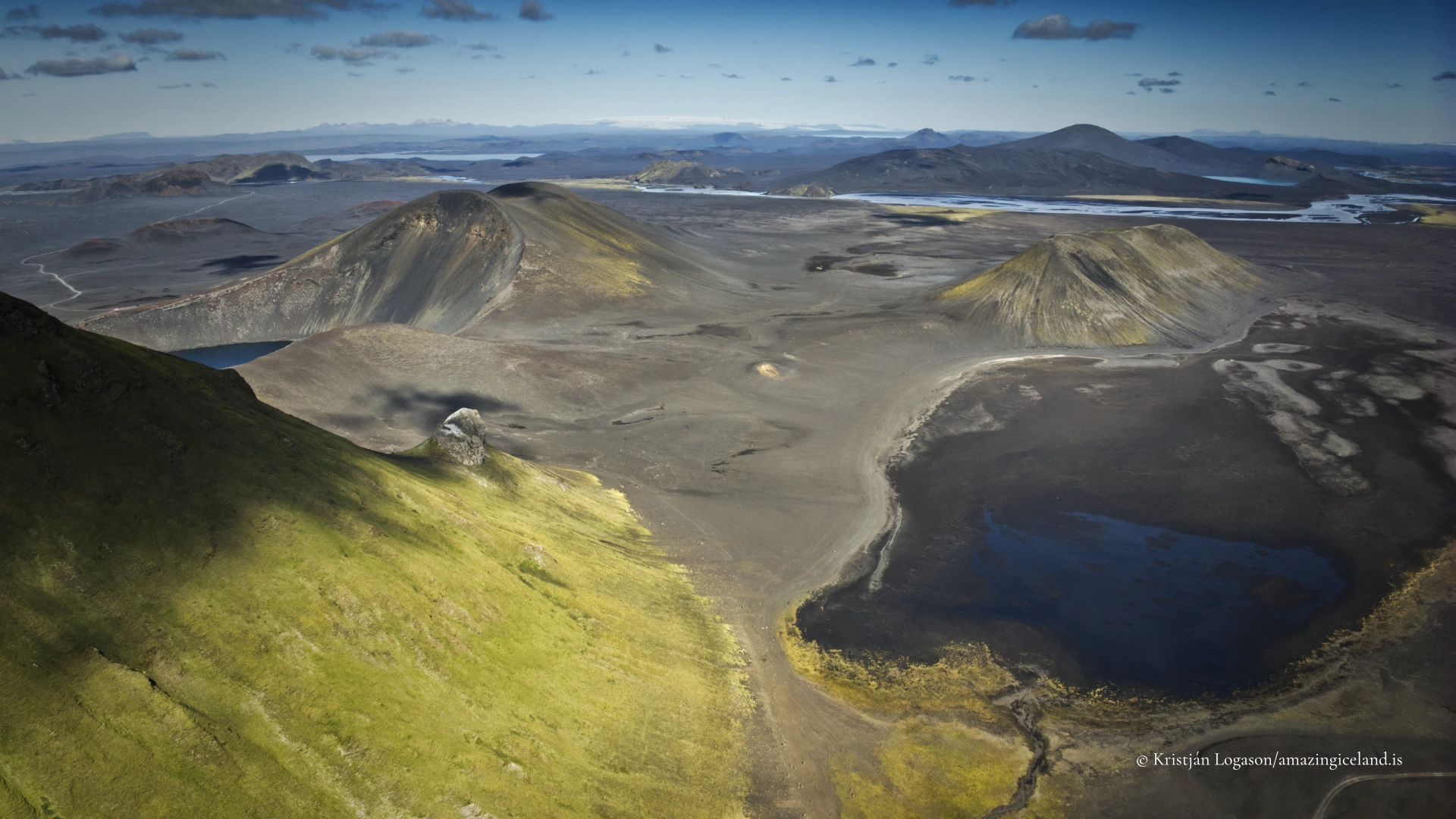
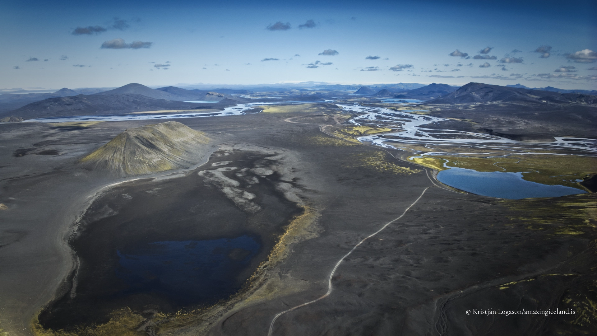
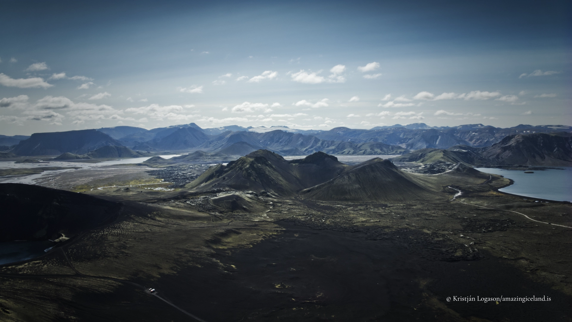
- The elevated view from the rim is the natural starting point. A wide lens can hold the lake, red inner slopes and crater rim together, while a slightly higher or more distant composition can connect Ljótipollur with Frostastaðavatn, Tungnaá and the broader Fjallabak landscape where they become visible.
- Do not stop with the first view. Moving carefully along established ground changes the relationship between water and crater walls, and the elongated form becomes clearer from some directions than from others. There is no need to complete the full rim circuit to find materially different compositions.
- A longer lens is particularly effective here. It can isolate bands of red and black material, erosion channels, patches of vegetation and reflections on the lake without turning every frame into a conventional crater overview. People or anglers may be used sparingly to establish scale, provided they are photographed from a respectful distance and are standing safely.
- Overcast conditions retain colour and surface detail without creating excessive contrast. Low side light reveals relief in the crater walls and makes erosion channels more legible. Calm water offers reflections, but wind texture can express the exposure and size of the lake just as effectively.
- Colour processing requires restraint. The red walls and blue-green water already provide strong separation. Excessive saturation turns geological colour into spectacle and makes the lake artificially turquoise. Careful exposure should preserve both dark water and the reflective highlights on wet or glassy volcanic material.
- No photograph justifies approaching an unstable edge, descending by an informal route or disturbing vegetation and loose volcanic ground. Drone photography must follow the applicable Fjallabak permit conditions and aviation rules, and flights should not intrude upon anglers or other visitors.
Destinations nearby