Langjökull glacier
Langjökull is the glacier behind Gullfoss. The connection is not merely geographical: meltwater leaves the glacier through Hvítárvatn, enters Hvítá and eventually reaches the waterfall. For many visitors, a snowmobile trip departing from the Gullfoss area is also the point at which the Golden Circle extends beyond roads and viewing platforms and onto the highland ice itself.
Yet Langjökull is far larger than any single approach suggests. It is a broad ice cap occupying part of the western highlands, with different landscapes and access routes along its eastern and western margins. From Gullfoss, Kaldidalur or Húsafell, visitors encounter different parts of the same glacier.
The location of Langjökull glacier
Latitude
64.6597
Longitude
-20.3776
Langjökull glacier
Iceland’s second-largest glacier
Langjökull means “Long Glacier,” an appropriate name for an ice cap stretching approximately 50 kilometres from north to south. It is Iceland’s second-largest glacier after Vatnajökull.
Its area should always be given with a measurement year because the glacier is retreating. The Icelandic Meteorological Office measured Langjökull at 836 square kilometres in 2019. Around 1890, its estimated area was 1,093 square kilometres. In approximately 130 years, the glacier therefore lost about 257 square kilometres—almost one quarter of its former area.
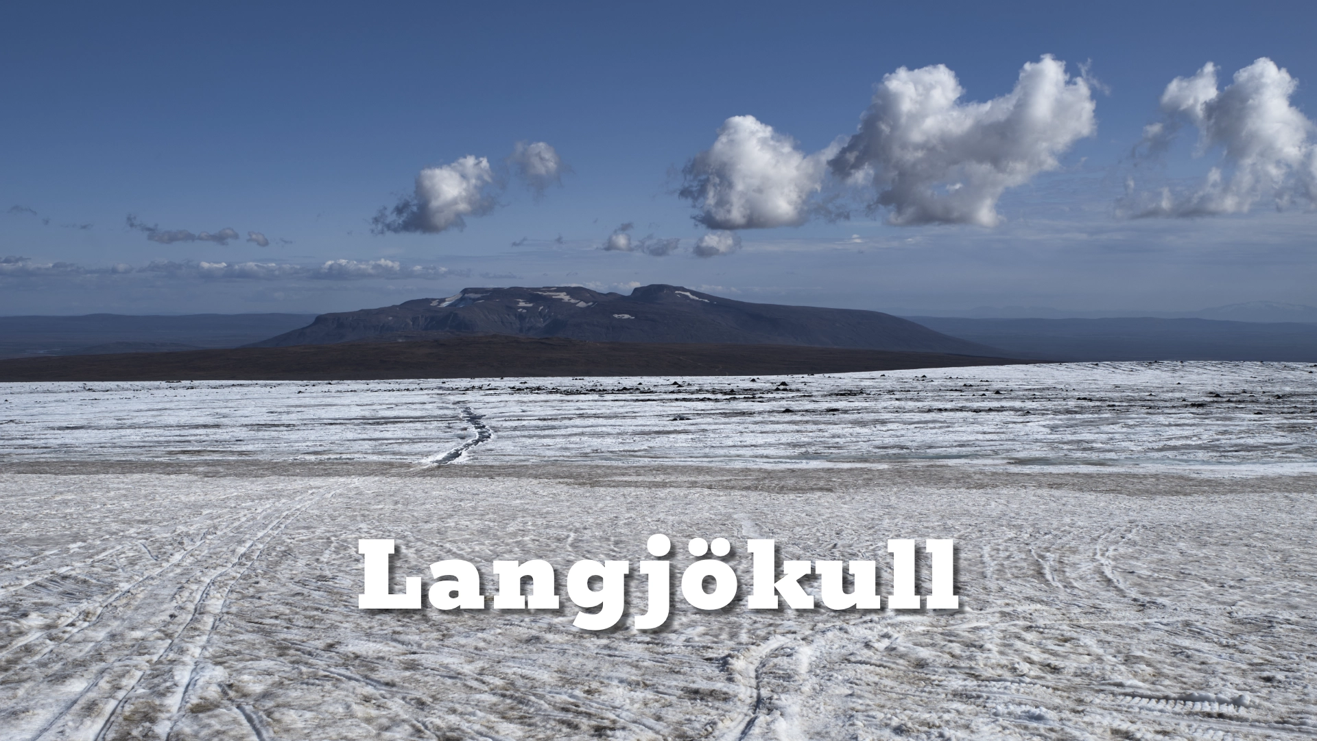
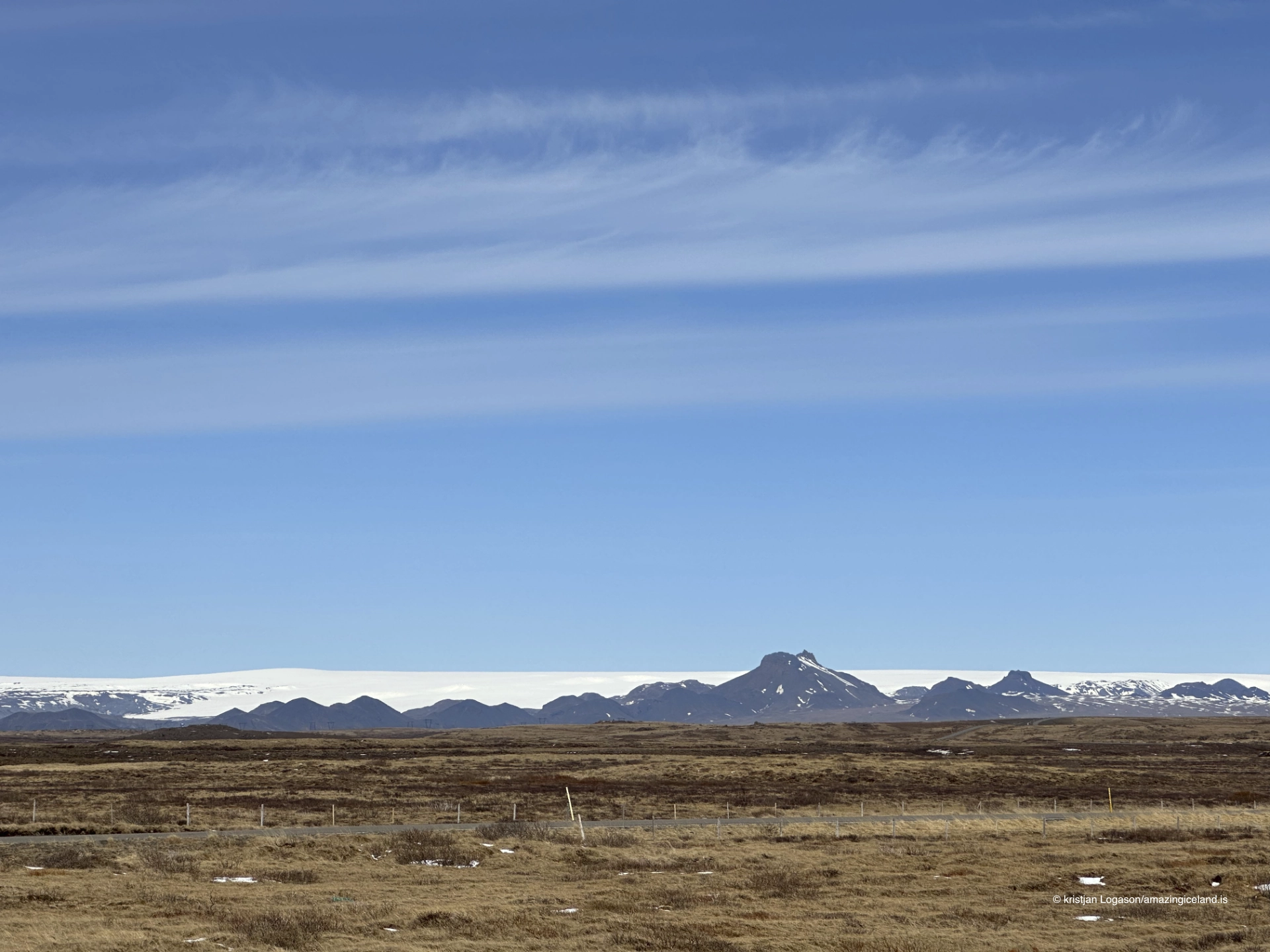
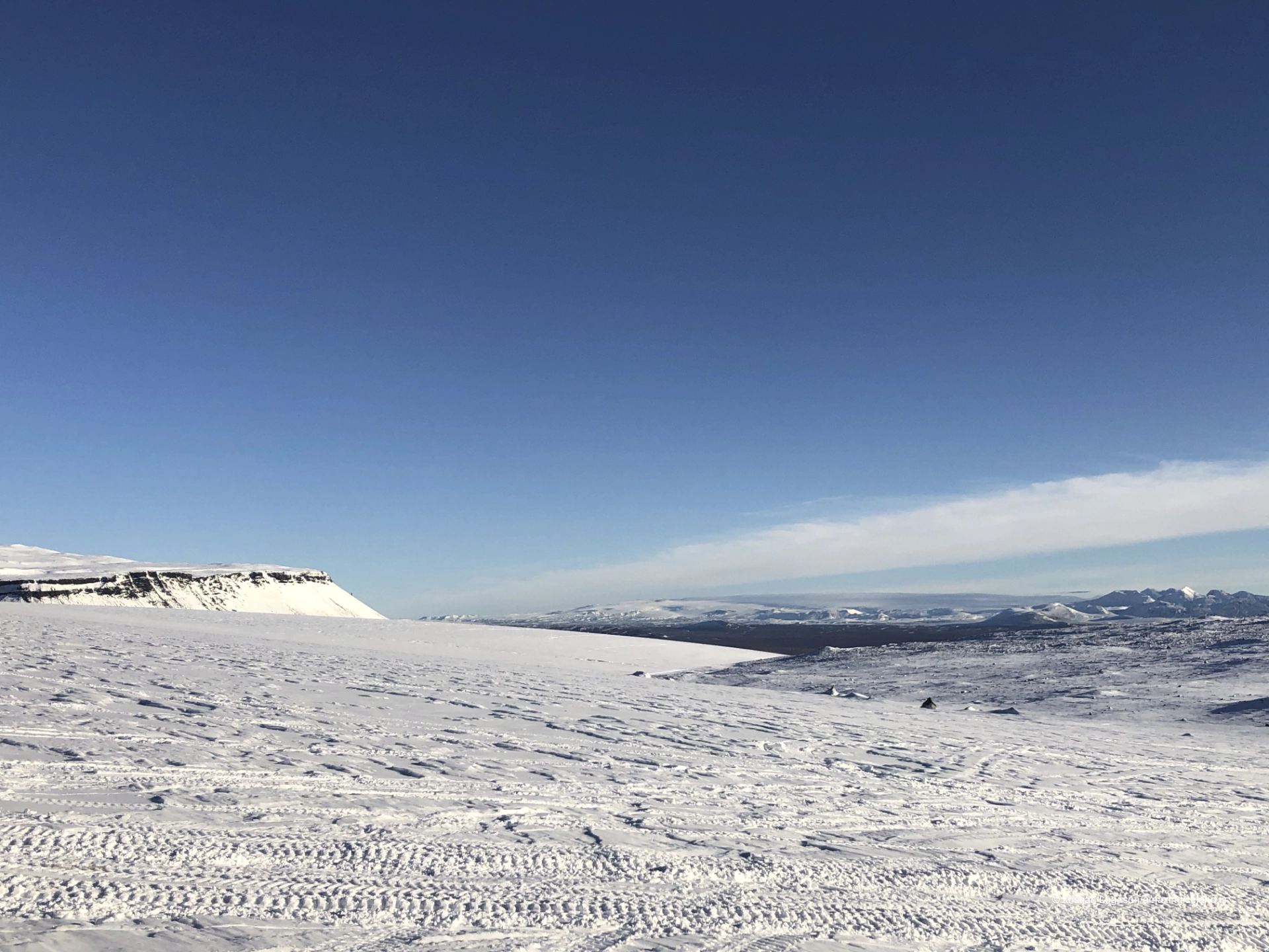
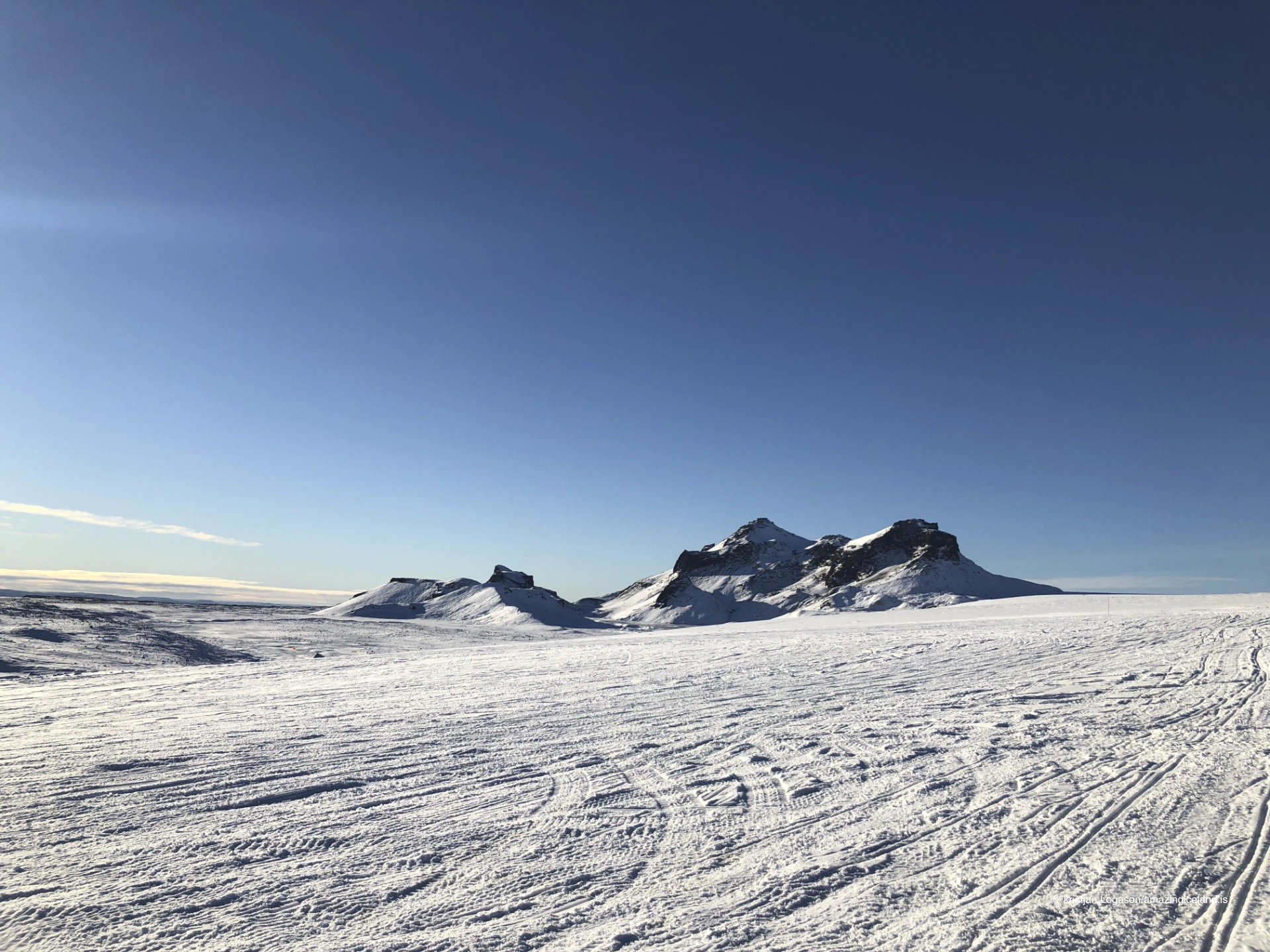
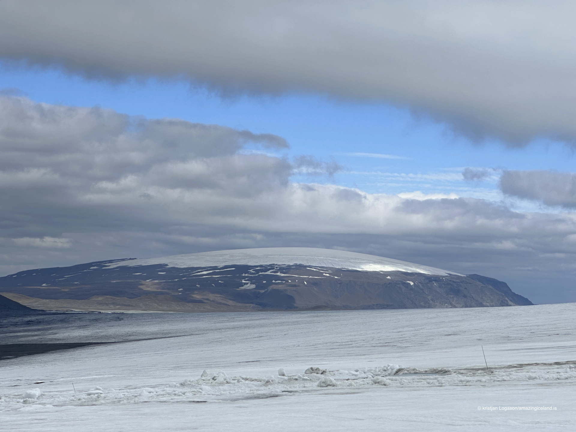
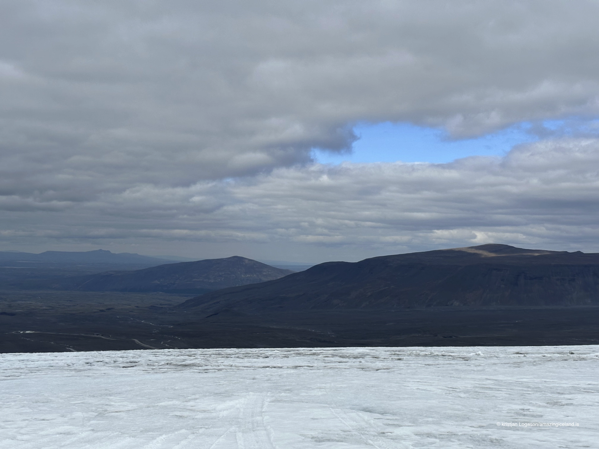
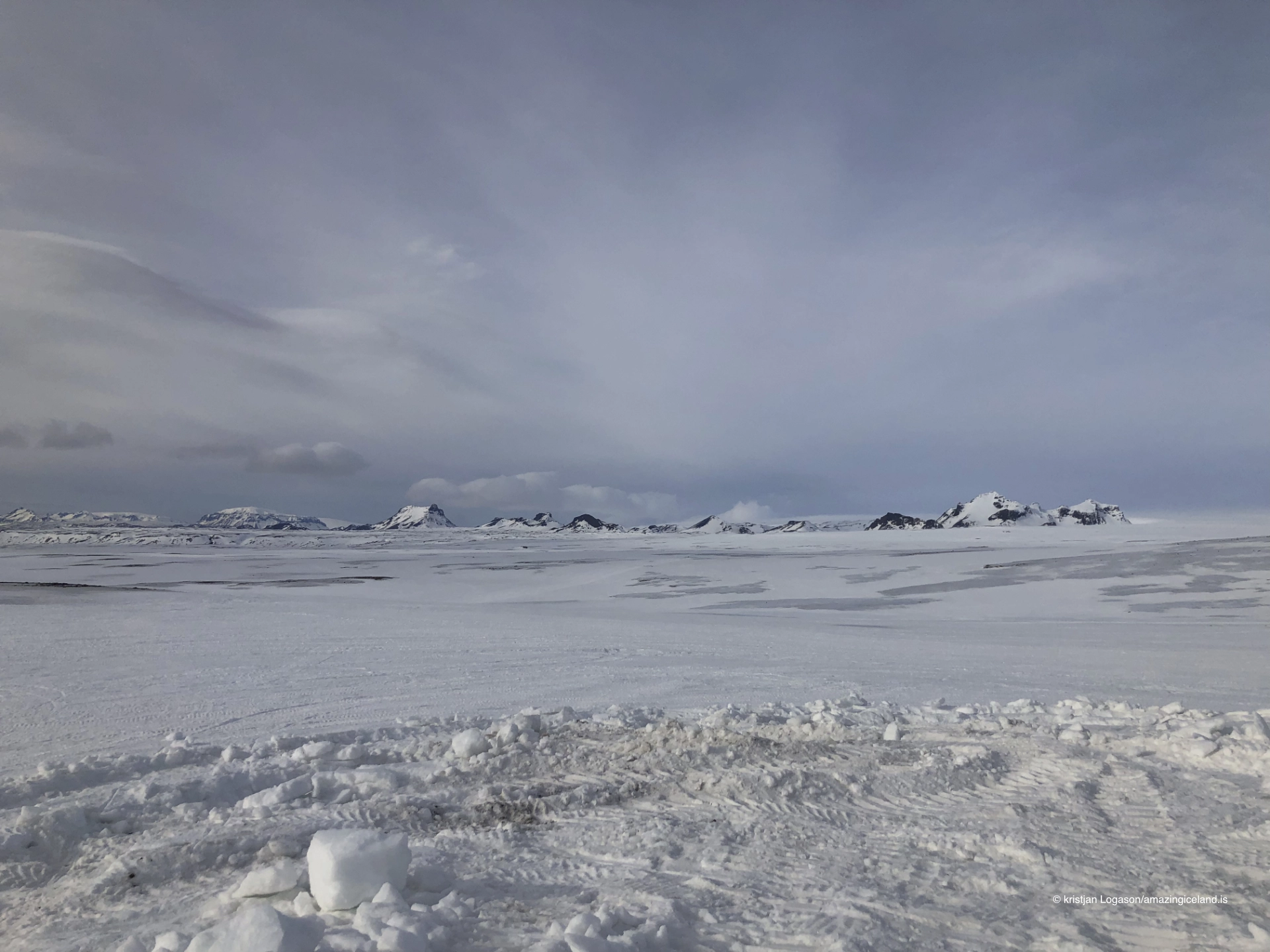
Unlike glaciers known primarily through a steep outlet tongue or a calving front, Langjökull is an extensive ice cap. Its size is often difficult to understand from close range. Snow, ice and sky may merge into what appears to be a nearly featureless surface, while rises in the glacier conceal how far it continues beyond the visible horizon.
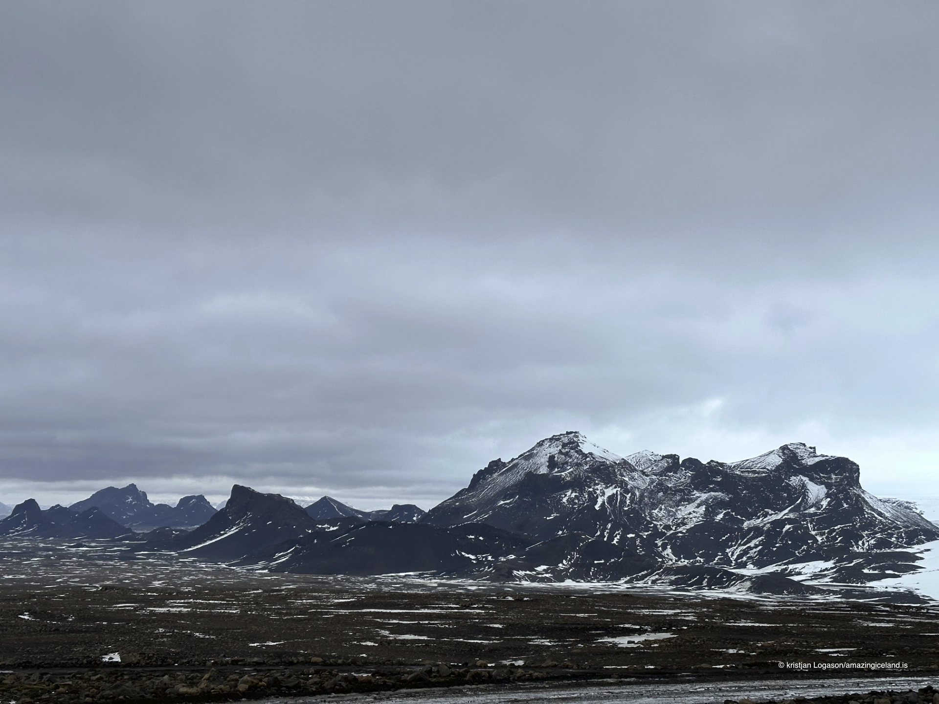
The ice covers a landscape shaped by volcanic activity, but Langjökull should not be presented as one simple ice-covered volcano. Several volcanic systems and geothermal areas lie beneath or around different parts of the ice cap. Its form reflects the bedrock below, the accumulation of snow above and the continuing movement and melting of the ice.
Hvítárvatn, Hvítá and Gullfoss
At the eastern side of Langjökull lies Hvítárvatn, the highland lake from which the southern river Hvítá flows. The river crosses the highlands before reaching Gullfoss, where it descends 32 metres in two stages and enters a narrow canyon.
The glacier is therefore present at Gullfoss even though the ice cap cannot be seen from the usual viewing areas. The colour, sediment and changing volume of Hvítá all reveal the river’s glacial origin. Greater summer melting generally contributes to a stronger flow, while the storage of winter precipitation as snow and ice delays part of its journey into the river system.
Langjökull also contributes water to Hvítá in Borgarfjörður on the western side of the country, although that river system has sources associated with both Langjökull and Eiríksjökull. The two rivers share a name—Hvítá means “White River”—but they flow in different directions and belong to separate drainage systems.
As Langjökull shrinks, the relationship between stored ice, meltwater and the rivers leaving its margins will continue to change. It is more accurate to describe that continuing process than to claim that the future behaviour of either river can be predicted from glacier retreat alone.

From Gullfoss onto the glacier
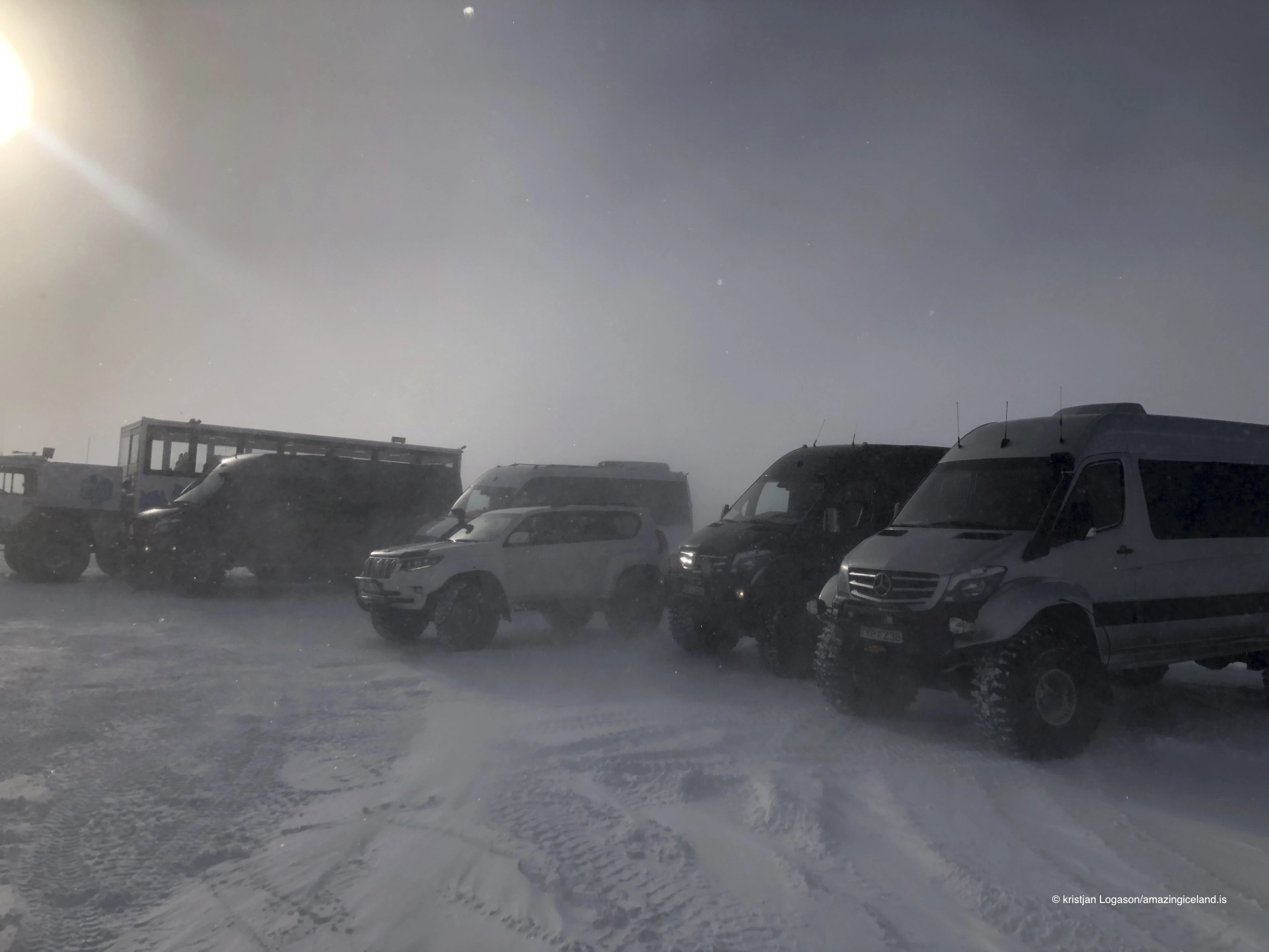
Snowmobile trips create the most direct link between Langjökull and the Golden Circle. Visitors are collected in the Gullfoss area and transported inland by vehicles suited to highland and snow conditions. The route approaches the eastern or southeastern side of the glacier, commonly through the Kjölur side of the highlands towards operational bases used for glacier tours.
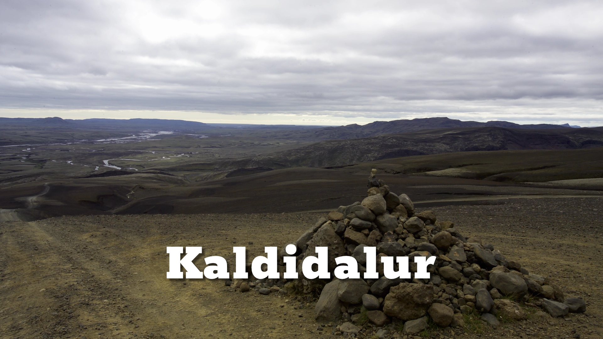
This journey should not be confused with Kaldidalur. Kaldidalur lies along the western side of Langjökull and runs between the Þingvellir region and the Húsafell area. It is a separate highland corridor, not the route followed inland from Gullfoss.
The snowmobile bases, transfer routes and exact meeting arrangements may change with snow cover, road conditions and the tour provider. Visitors should follow the instructions supplied with their booking rather than treating any one highland track as a permanent public route to the glacier.
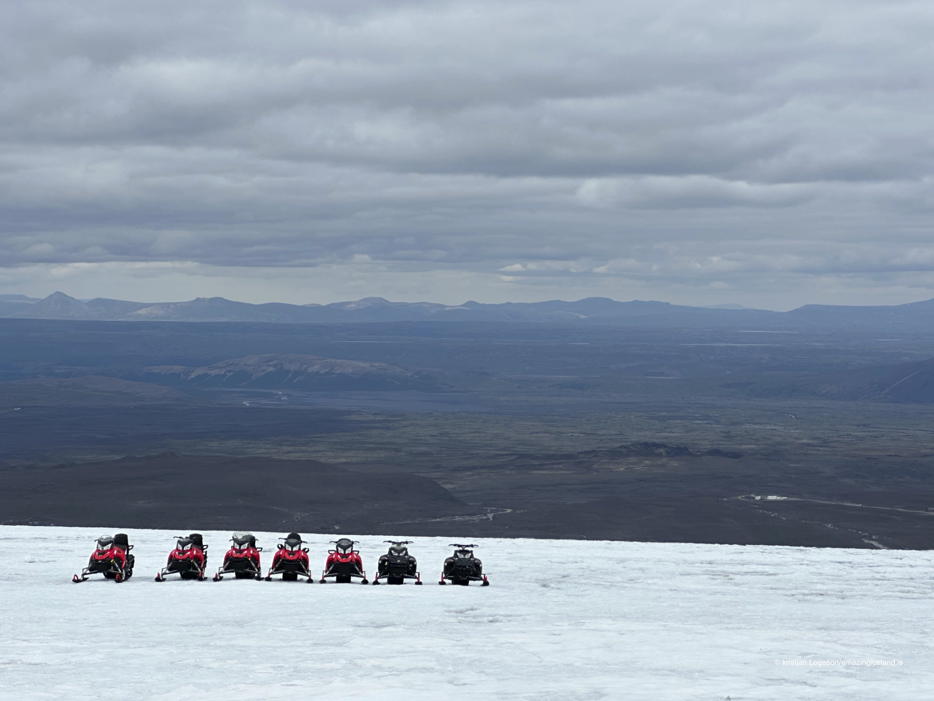
Snowmobiling gives a sense of Langjökull’s scale that is difficult to gain from its margins. The experience is not simply about speed: the machines and support vehicles provide a human reference against an ice cap whose distances can otherwise be hard to judge.
Kaldidalur, Húsafell and the ice tunnel
The western side of Langjökull has a different relationship with the inhabited country below it. Kaldidalur follows the space between Langjökull and the smaller glaciers Þórisjökull and Ok, while Húsafell provides the principal gateway to tours travelling towards the glacier from Borgarfjörður.
From the Húsafell side, specialised vehicles travel through the Klaki area to the man-made ice tunnel known as Into the Glacier. The tunnel was excavated into Langjökull rather than formed as a natural seasonal ice cave. It allows visitors to enter the body of the glacier and see layers, fractures and the changing character of the ice from within.
That distinction matters. Natural ice caves form and change through meltwater and ice movement, and their safety and accessibility can vary greatly. The Langjökull tunnel is an engineered visitor route inside a living glacier. It does not make the glacier permanent or unchanging: the ice surrounding it continues to move and respond to climate and conditions.
Going onto Langjökull safely
There is no general permit system preventing people from entering Langjökull, but legal access should never be confused with safe access. A glacier is not an ordinary snowfield. Crevasses may be concealed by snow bridges, familiar tracks can disappear, and cloud or blowing snow can remove all contrast between the ground and sky.
Do not walk onto Langjökull without the experience, equipment and knowledge required for glacier travel. For ordinary visitors, the responsible way to enter the glacier is with a qualified guide or an organised operation using an established route. Conditions can change quickly even when the weather below the glacier appears calm.
The same caution applies to highland driving. Roads and tracks approaching the glacier vary by season, and snowmobile tours may operate when ordinary road access is impossible. Always distinguish between transport provided as part of a tour and a route suitable for a private vehicle.
Interesting facts:
-
- Langjökull is Iceland’s second-largest glacier after Vatnajökull.
- Its measured area decreased from an estimated 1,093 km² around 1890 to 836 km² in 2019.
- Hvítárvatn at the glacier’s eastern margin is the source of the Hvítá that flows through Gullfoss.
- Snowmobile tours departing from the Gullfoss area usually approach Langjökull from the Kjölur side—not through Kaldidalur.
- The visitor tunnel inside Langjökull is man-made rather than a natural seasonal ice cave.
- Both rivers named Hvítá receive water associated with Langjökull, but they belong to separate river systems.
Image Gallery
Photography tips:
-
- Snow can easily lose texture. Check the brightest areas of the image and retain detail in the glacier rather than allowing the surface to become a blank white field.
- In flat light, slight changes in viewpoint may reveal ridges, tracks and shadows that give the ice structure. When glacier and sky merge, a person, snowmobile or vehicle can provide both scale and separation.
- Wide views need a reference point. Without one, the immense surface may appear smaller and flatter than it felt on location.
- Tracks can be used compositionally, but they also date the surface and emphasise human activity. Decide whether the photograph is about the ice cap itself or the experience of travelling across it.
- Cold reduces battery performance and blowing snow reaches equipment quickly. Carry spare batteries close to the body and protect the camera during stops and transfers.
- Never leave the guided route or approach a suspected crevasse for a stronger photograph.
Destinations nearby