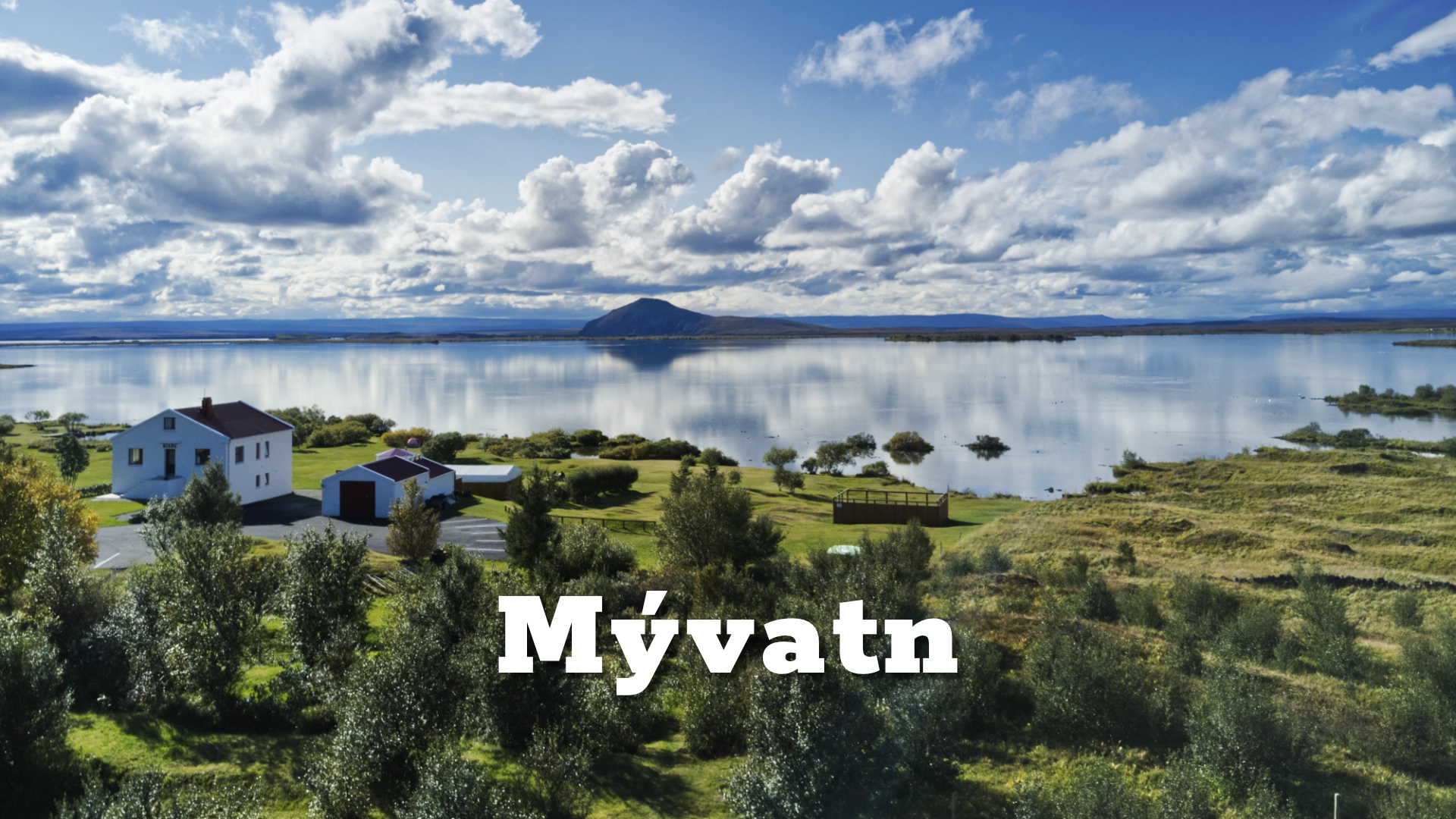
Lake Mývatn in North Iceland
Lake Mývatn is not biologically rich despite its volcanic origin.
It is biologically rich because of it.
Volcanic eruptions created a broad, shallow basin filled with islands, sheltered bays, wetlands and extraordinary lava formations. Mineral-rich spring water enters through porous volcanic ground. Sunlight reaches much of the shallow floor, supporting algae and aquatic plants. Vast populations of insects rise from the water and sustain fish and one of Europe’s most remarkable communities of breeding waterbirds.
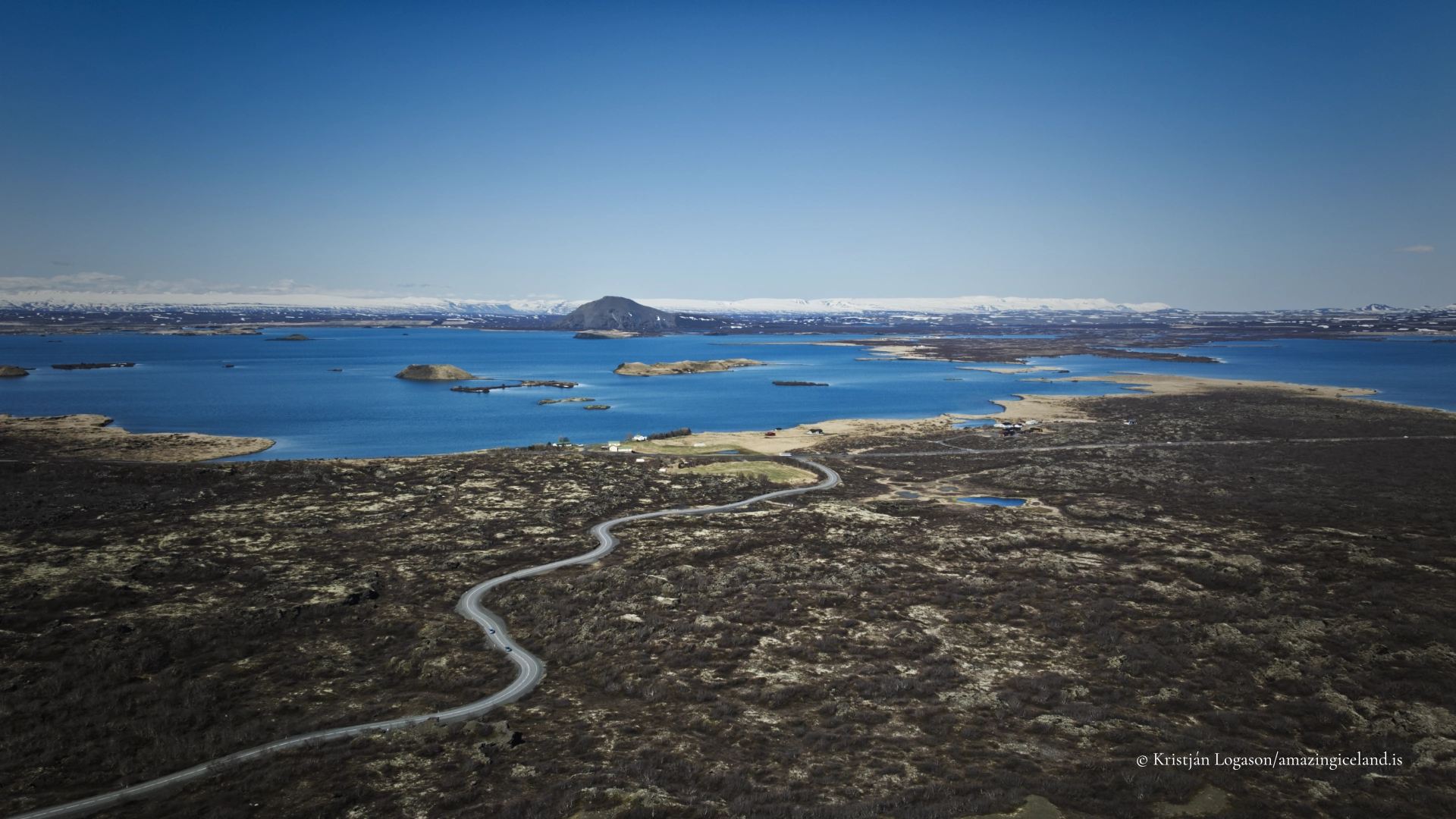
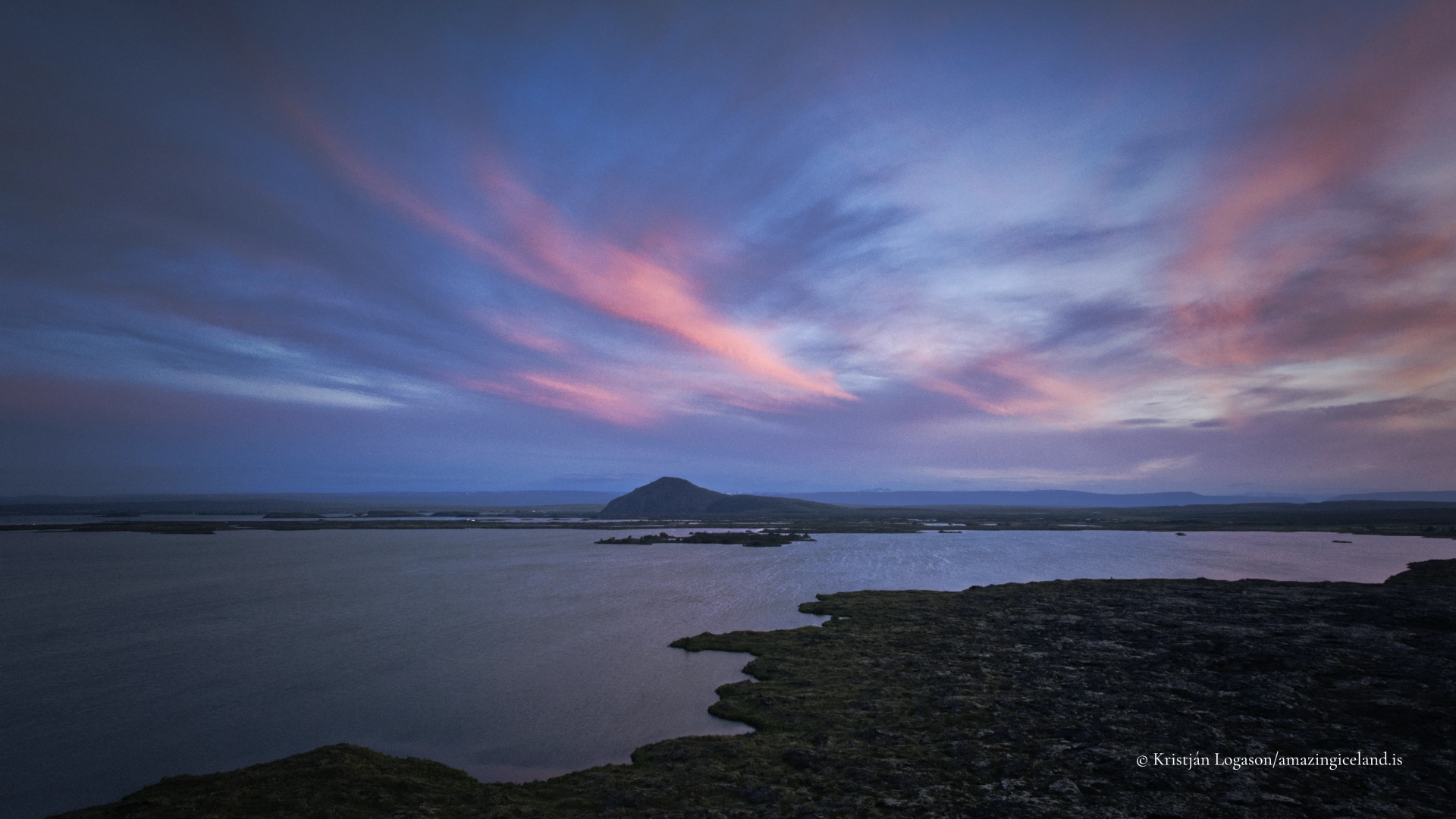
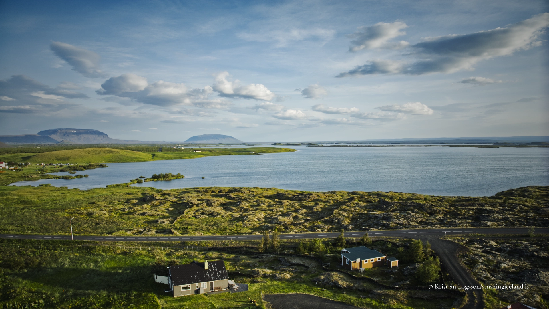
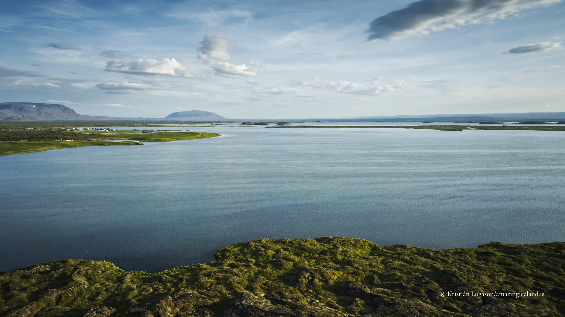
Mývatn covers more than 30 square kilometres, yet its average depth is only approximately 2.5 metres. Most of the natural lake is no deeper than about four metres. Around 50 islands and islets divide its surface, while lava creates sheltered pools, narrow channels and irregular shorelines.
Many visitors use the name Mývatn for everything between Skútustaðir, Dimmuborgir, Námafjall and Krafla. It helps to distinguish between the lake itself, the road circuit surrounding it and the wider Mývatn–Krafla region.
The lake deserves more than a quick circuit between attractions. At least a full day is needed to begin understanding it, and several days can easily be spent walking, observing birds and following the relationship between water, lava and human settlement.
The location of Lake Mývatn in North Iceland
Latitude
65.6030
Longitude
-16.9980
Lake Mývatn in North Iceland
Two Lava Flows and Two Lakes
The present Lake Mývatn was not created by a single eruption.
Approximately 3,800 years ago, the Older Laxá Lava flowed across the region and blocked natural drainage. Water accumulated behind the lava, creating an earlier version of Lake Mývatn.
Approximately 2,300 years ago, another eruption began along the Þrengslaborgir–Lúdentsborgir crater row, now assigned to the Heiðarsporðar volcanic system. The Younger Laxá Lava flowed across the landscape and entered the existing lake.
This interaction between molten lava and shallow water reconstructed the environment. Water trapped beneath and within the lava turned rapidly to steam. Explosions broke through the advancing flow and created groups of pseudocraters. Elsewhere, lava cooled around temporary ponds and wetlands, forming pillars, arches and irregular structures. The eruption produced the formations now found at Dimmuborgir, Höfði and Kálfaströnd and reshaped the basin of the present lake.
The Younger Laxá Lava also altered the outlet and surrounding drainage. Water again accumulated behind lava barriers, now within a landscape filled with new islands, bays and volcanic formations.
Mývatn is therefore not simply a lake formed when lava blocked a river. It is the result of lava entering an earlier lake, destroying parts of that environment and constructing another in its place.
The pseudocraters resemble small volcanic craters but were not vents connected to a magma chamber. Water beneath the lava boiled almost instantly. Steam accumulated until pressure broke through the overlying lava, throwing fragments into the air. Material falling back around each explosion built a crater-shaped mound.
Because no magma rose through a conduit beneath them, these formations are known as pseudocraters, or rootless cones. The largest and most accessible groups stand at Skútustaðagígar on the southern side of the lake.
Why Mývatn Supports So Much Life
Mývatn’s productivity begins with its water.
Much of the lake is supplied by springs rather than large visible rivers. Water moves through young, porous lava before emerging along the shoreline or through the lake floor. As it travels underground, it carries dissolved minerals into the lake.
Because the lake is so shallow, sunlight can penetrate much of the water column and reach the bottom. This supports extensive growth of algae and aquatic plants.
The irregular lava basin creates an exceptional range of habitats. Some sections are open and exposed to wind. Others are protected by islands and lava. Shallow bays warm quickly, while spring-fed areas remain colder. Wetlands surround parts of the shore, and Laxá carries water out through a flowing river environment.
Volcanism built the structure. Water and sunlight turned that structure into an ecosystem.
The name Mývatn means “Midge Lake.” During the great emergences, the reason is impossible to miss.
Enormous numbers of non-biting chironomid midges develop in the lake. Their larvae live in the sediment before emerging as adults, sometimes forming dense clouds above the water and shoreline. On calm days, the swarms can become overwhelming. A head net can be extremely useful, particularly for photographers or birdwatchers remaining still for long periods.
These lake midges do not bite. Biting blackflies are different insects, associated particularly with flowing water around Laxá, and can be encountered from early into later summer.
The most noticeable chironomid emergences are often associated with early June and August, although timing and scale vary with temperature, weather and natural population cycles.
To visitors, the swarms may seem an inconvenience. To Mývatn, they are one of the foundations of life. Fish feed upon the larvae, while birds consume aquatic and adult insects. Emerging midges transfer an enormous quantity of energy from the lake to the surrounding land.

Ducks, Grebes and a Changing Ecosystem
Lake Mývatn and Laxá together support one of Europe’s most remarkable breeding communities of waterbirds. Around fifteen duck species regularly breed within the wider system.
Different birds depend upon different parts of this environment. Diving ducks feed within the lake. Dabbling ducks use the shallow shorelines and wetlands. Harlequin ducks are associated particularly with the fast-flowing water of Laxá rather than the open lake. The region contains Iceland’s largest breeding concentration of horned, or Slavonian, grebes.
The characteristic bird of Mývatn is Barrow’s goldeneye. The Mývatn–Laxá area contains the only regular European breeding population of this North American duck.
Birdlife is especially visible during spring and early summer, when migrants return, courtship begins and nesting activity increases. Visitors must avoid nests, keep their distance from birds showing distress and follow seasonal access restrictions. A bird repeatedly calling, circling or attempting to draw attention away from an area may be protecting eggs or young.
Mývatn is productive, but it is not stable.
Populations of midges can rise dramatically and then collapse. Fish respond to changes in food and environmental conditions. Birds may produce many young in one period and struggle in another. These fluctuations move through the entire food web.
Biological richness does not mean remaining unchanged. Large variations are part of the system, but they also make it difficult to distinguish natural cycles from the effects of pollution, changing land use, climate and other human pressures.
A shallow lake responds quickly to its surroundings. Mývatn’s abundance should therefore not be mistaken for invulnerability.
Lake Balls and a Working Landscape
Among Mývatn’s most unusual forms of life were the spherical algae commonly called lake balls.
They are colonies of filamentous algae rolled and turned by water movement, allowing them to grow in rounded forms. Large colonies are exceptionally rare. The phenomenon became particularly associated with Lake Mývatn and Lake Akan in Japan, where similar formations are known as marimo.
Mývatn once contained extensive aggregations of lake balls. They later declined drastically and largely disappeared. Changes in water conditions, sediment and the lake bottom are thought to have contributed. Small formations and possible signs of recovery have been reported, but this should not be confused with the return of the former colonies.
The lake balls represent both the uniqueness and fragility of Mývatn. They also show that some of its most important life lies beneath the surface rather than in the birds and volcanic formations visible from the road.
Mývatn’s productivity supported human communities long before tourism. Fishing provided food and income. Eggs were collected from nesting areas. Wetlands and meadows were used for haymaking, while farms developed around the lake’s varied resources.
These activities depended upon knowledge of seasons, breeding cycles, water conditions and the behaviour of fish and birds. The lake was not scenery surrounding the farms but part of the working environment on which people relied.
Today, tourism is one of the most visible uses of the landscape. Roads, paths and observation areas allow more people to experience Mývatn, but they also concentrate disturbance in sensitive places.
Reykjahlíð and the Lake Circuit
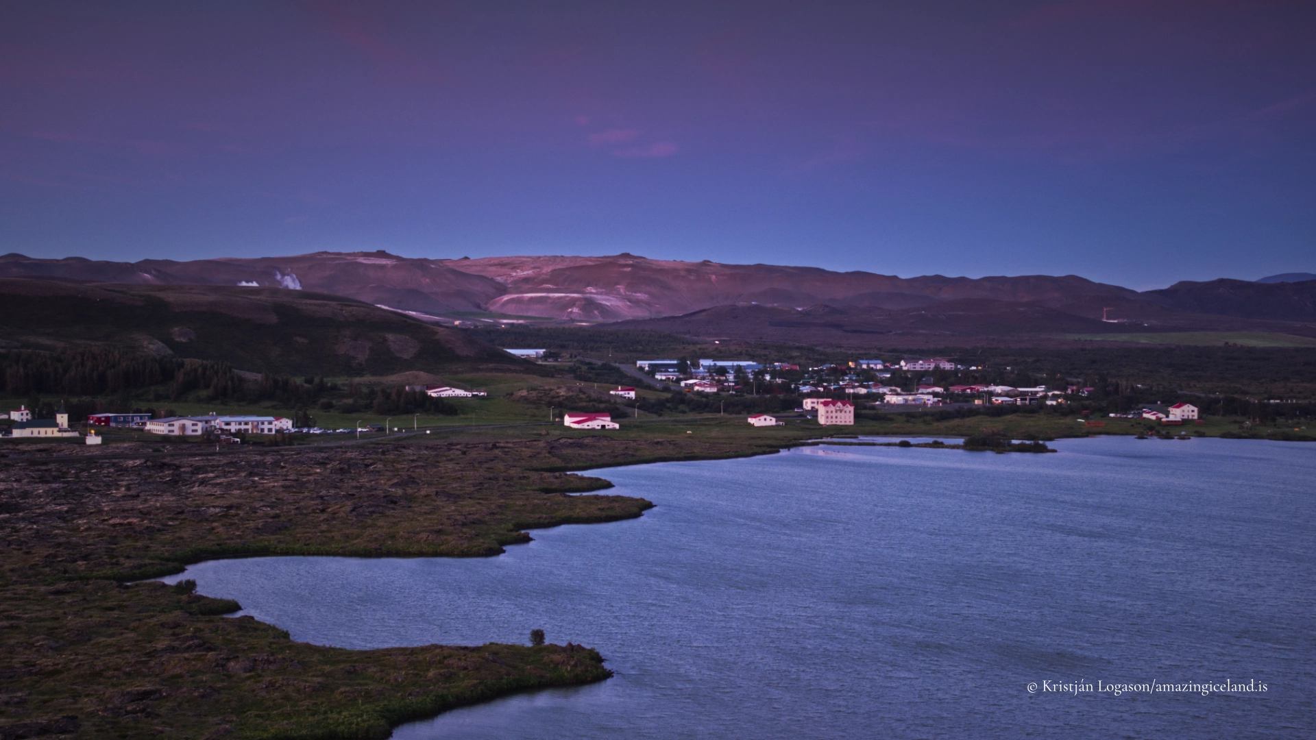
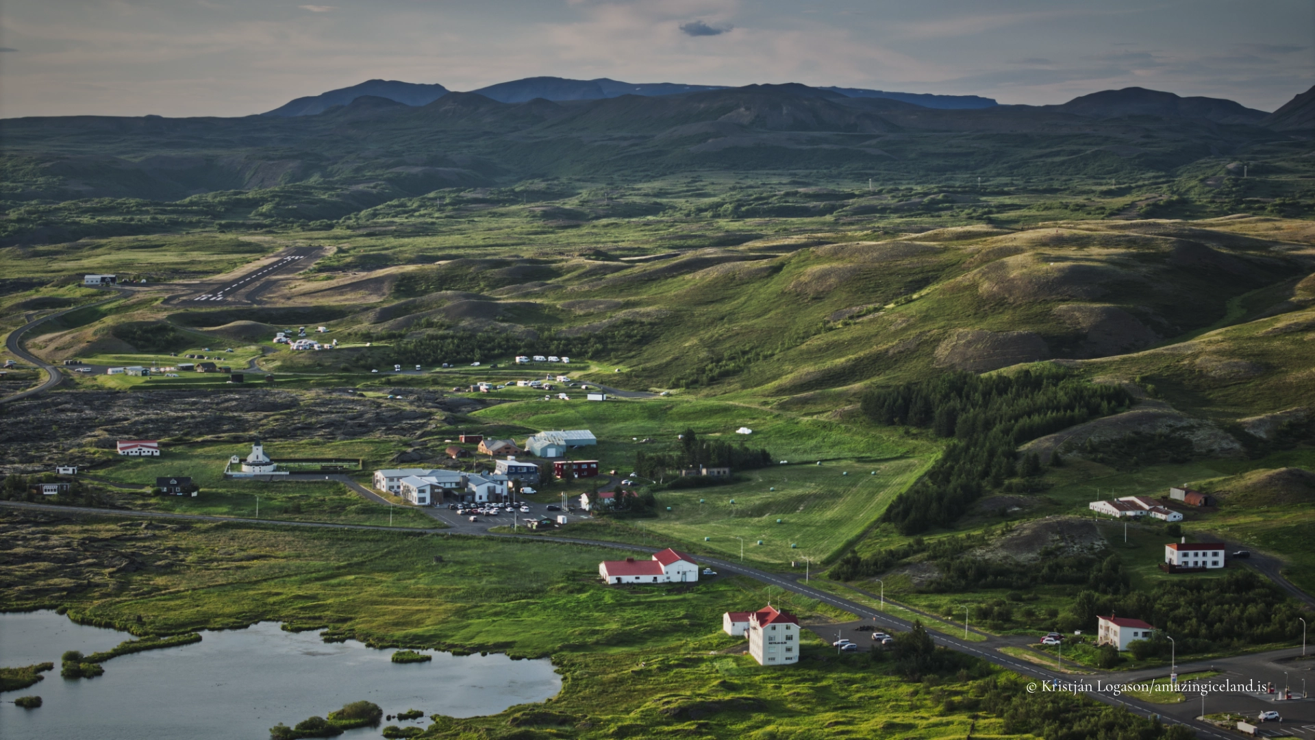
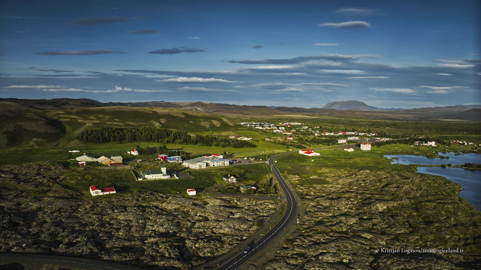
Reykjahlíð stands on the northeastern side of Lake Mývatn. It is the main business and service centre of the region, although it remains closer in scale to a small village than a town.
Road 1 passes along the northern and eastern sides of Mývatn. Road 848 follows the western and southern shore before reconnecting with the main road. Together, they form the road circuit around the lake.
There is no meaningful advantage to driving clockwise or anticlockwise. Direction can be chosen according to weather, light and the places the visitor intends to explore.
The circuit can be driven quickly, but that gives a misleading impression of Mývatn. Much of its character lies away from the obvious roadside view. Walking through Höfði, observing Skútustaðagígar, exploring the southern shoreline or climbing Vindbelgjarfjall requires time.
Even without long hikes, a full day is a reasonable minimum for the lake itself. Visitors interested in birds, geology or photography can easily justify several days.
Mývatn rewards time because its subject is not one dramatic object. It is the relationship between many small environments.
Höfði, Kálfaströnd, Skútustaðagígar and Vindbelgjarfjall
Höfði is one of the best places to experience the meeting of woodland, lava and lake. Paths lead through trees to viewpoints along the shore, where lava pillars stand in the water between small bays and islands.
The woodland creates an unusual sense of enclosure in a region often described through open volcanic landscapes. At the shore, the Younger Laxá Lava’s interaction with the earlier lake becomes visible.
Kálfaströnd provides another view of these formations and should be treated as a separate shoreline landscape rather than another name for Höfði. Visitors should use recognised access points, respect private land and avoid stopping where they obstruct the road.
Skútustaðagígar rise from wetlands and shallow water on the southern side of the lake. Walking routes offer close views of individual formations and elevated views across the larger group. Remaining on marked routes matters for both nesting birds and erosion-prone vegetation.
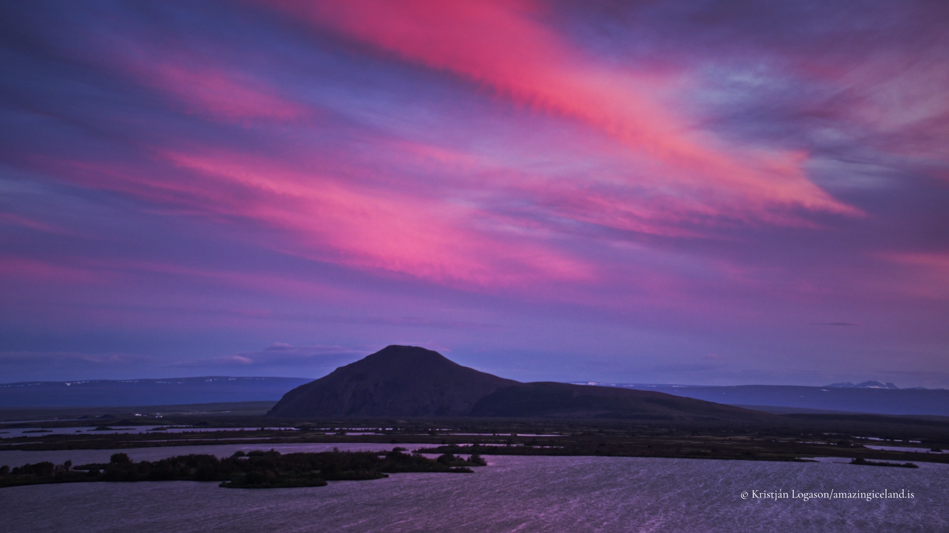
Vindbelgjarfjall provides one of the strongest elevated views over Lake Mývatn. From the summit, islands, bays, wetlands, lava fields and surrounding mountains can be understood as parts of one basin.
Conditions on the mountain can differ considerably from those beside the water. Wind increases with elevation, and cloud can reduce visibility quickly. The walk should be undertaken according to conditions rather than treated as a guaranteed viewpoint.
The Wider Region and Responsible Access
Several of northeast Iceland’s best-known volcanic destinations lie near Lake Mývatn without belonging to the lake circuit itself.
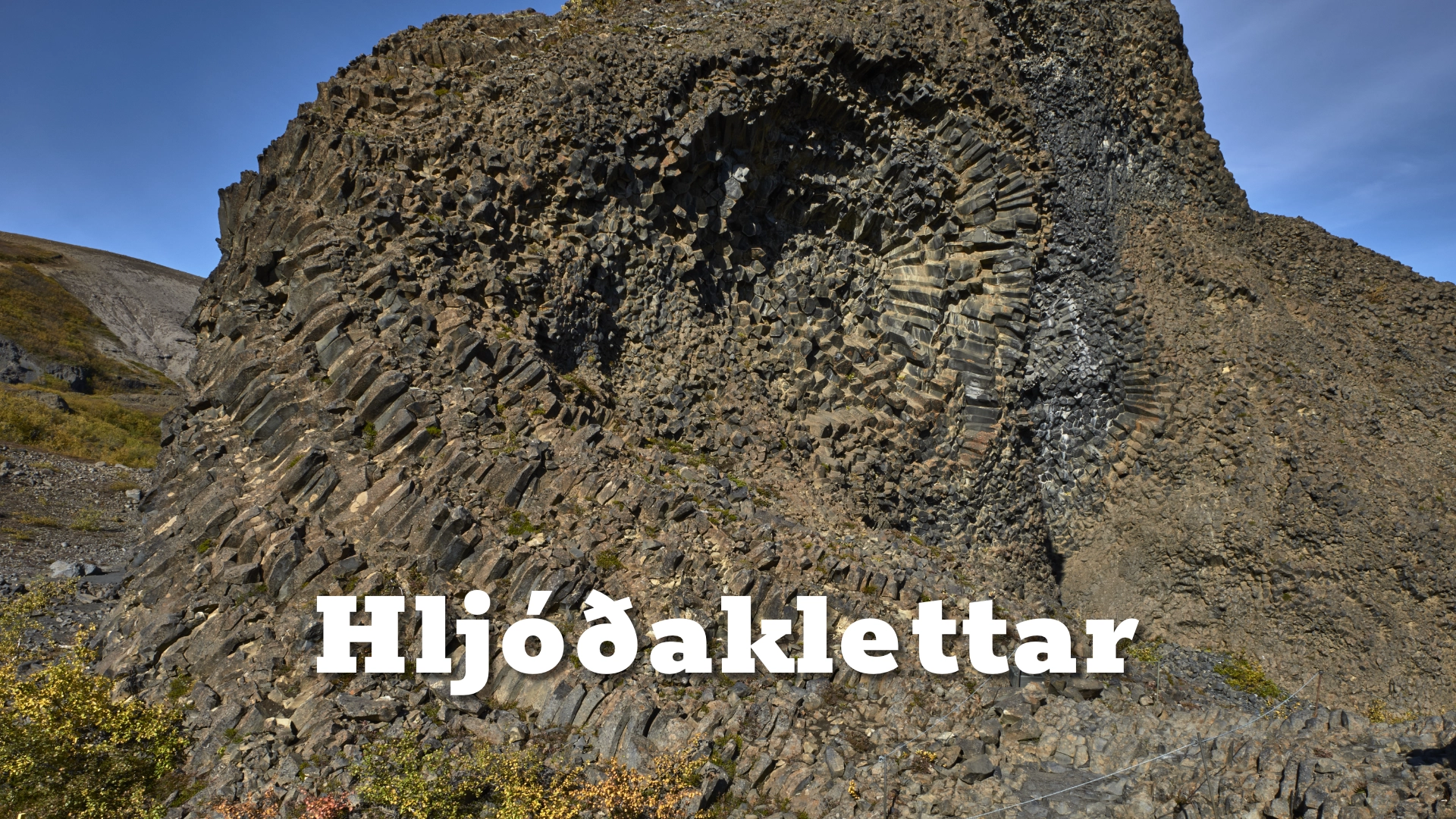
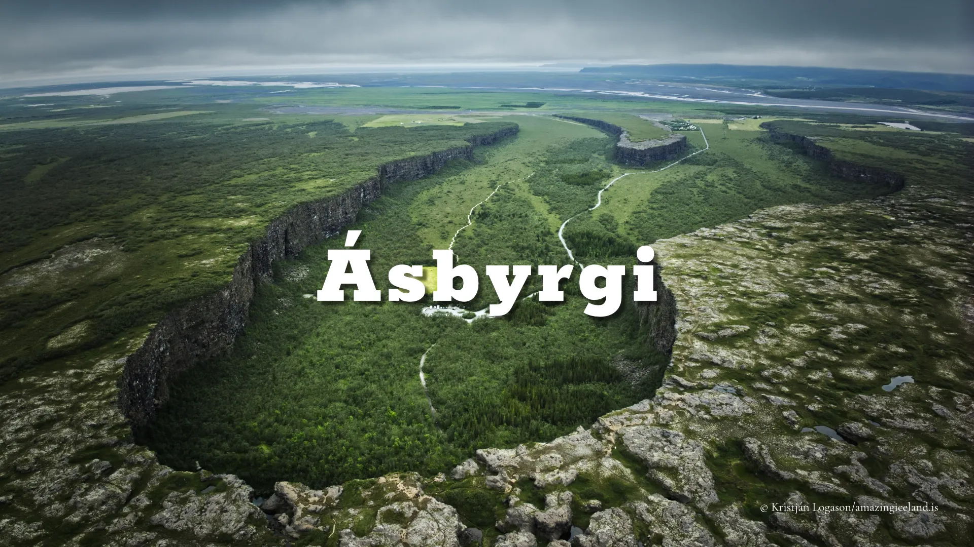
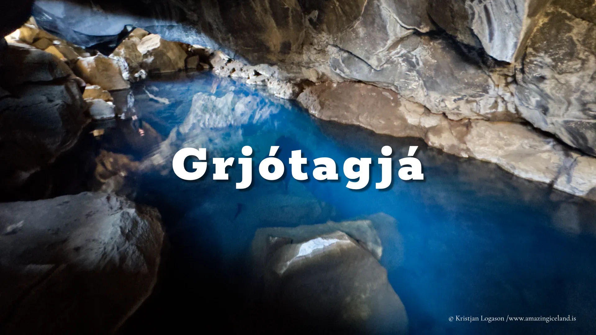
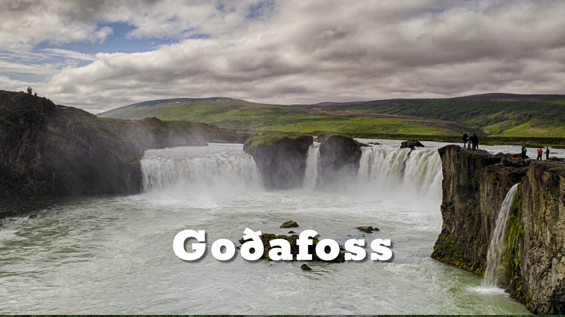
Dimmuborgir and Hverfjall stand near the eastern side and are directly connected to the Younger Laxá eruption. Grjótagjá lies farther east within fissured volcanic ground.
Beyond this, the landscape changes into the active geothermal and volcanic areas of Námafjall and Krafla. Víti and Leirhnjúkur belong to the Krafla volcanic system, with a different eruptive history from the lava that formed the present Mývatn landscape.
Mývatn records how lava transformed a shallow-water environment approximately 2,300 years ago. Krafla records repeated rifting and eruptions, particularly during the Mývatn Fires of 1724–1729 and the Krafla Fires of 1975–1984. Námafjall exposes an active high-temperature geothermal system. They are connected but distinct destinations.
Mývatn and Laxá were first protected through special legislation in 1974. The current framework is based on the Mývatn–Laxá Protection Act of 2004. The protected area includes the lake, its islands, Laxá, specified wetlands and a belt extending 200 metres from the protected waters. Mývatn and Laxá became a Ramsar wetland of international importance in 1977.
Visitors should remain on marked paths where provided, respect seasonal closures and avoid approaching nesting birds. Dogs must be managed according to local rules and should never disturb birds or livestock.
The absence of a fence does not indicate unrestricted access. Land around the lake includes protected habitats, farms and private property. Tracks may serve agricultural work rather than visitors. Vehicles should remain on authorised roads, and parking must never obstruct gates, working access or narrow traffic routes.
Mývatn Through the Seasons
There is no single best season at Lake Mývatn. Each changes the subject.
Spring brings returning birds, courtship and increasing activity across the wetlands. Early summer is one of the richest periods for birdlife, while long daylight extends observation into the evening and the first major midge emergences may fill the air.
Later summer brings denser vegetation and changing insect activity. August can produce another great emergence of non-biting midges, sometimes at extraordinary scale.
Autumn quietens the lake. Migratory birds begin to leave, colours change across the wetlands and lower sunlight creates stronger separation between water, lava and land.
Winter produces a completely different Mývatn. Snow simplifies the lava landscape, sections of the lake freeze and low daylight alters the colour and scale of the basin. Open water remains in some spring-fed and flowing areas, concentrating birds and creating strong contrasts between ice, dark water and snow.
Roads and paths may be affected by snow, ice and winter maintenance. Conditions should be checked, even though the lake circuit remains a normal road rather than a seasonal highland route.
Mývatn is not one landscape seen under different weather. Its visible structure, wildlife and possibilities change with the season.
Interesting facts:
-
- Lake Mývatn covers more than 30 square kilometres but has an average depth of approximately 2.5 metres.
- Most of the natural lake is no deeper than about four metres.
- Mývatn contains around 50 islands and islets.
- The Older Laxá Lava dammed an earlier lake approximately 3,800 years ago.
- The Younger Laxá Lava entered that lake approximately 2,300 years ago and reshaped the present basin.
- The Younger Laxá Lava came from the Þrengslaborgir–Lúdentsborgir crater row within the Heiðarsporðar volcanic system rather than Krafla.
- The pseudocraters at Skútustaðir were formed by steam explosions beneath lava and were not supplied by volcanic conduits.
- The name Mývatn means “Midge Lake.”
- The vast chironomid swarms associated with the lake do not bite.
- Biting blackflies are different insects and are associated particularly with flowing water around Laxá.
- Around fifteen duck species regularly breed within the Mývatn–Laxá system.
- The area contains Europe’s only regular breeding population of Barrow’s goldeneye.
- Midge, fish and bird populations can undergo dramatic natural fluctuations.
- Similar large lake-ball formations are especially associated with Mývatn and Lake Akan in Japan.
- Mývatn and Laxá were first protected by special legislation in 1974 and became a Ramsar wetland in 1977.
- Roads 1 and 848 form the main driving circuit around the lake.
- At least a full day should be allowed for Lake Mývatn, while several days are easily justified.
Image Gallery
Photography tips:
- Lake Mývatn should not be approached as a single viewpoint.
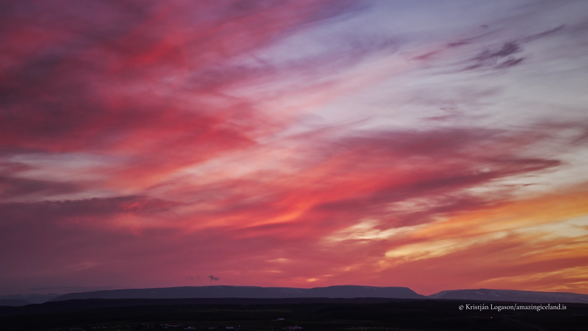
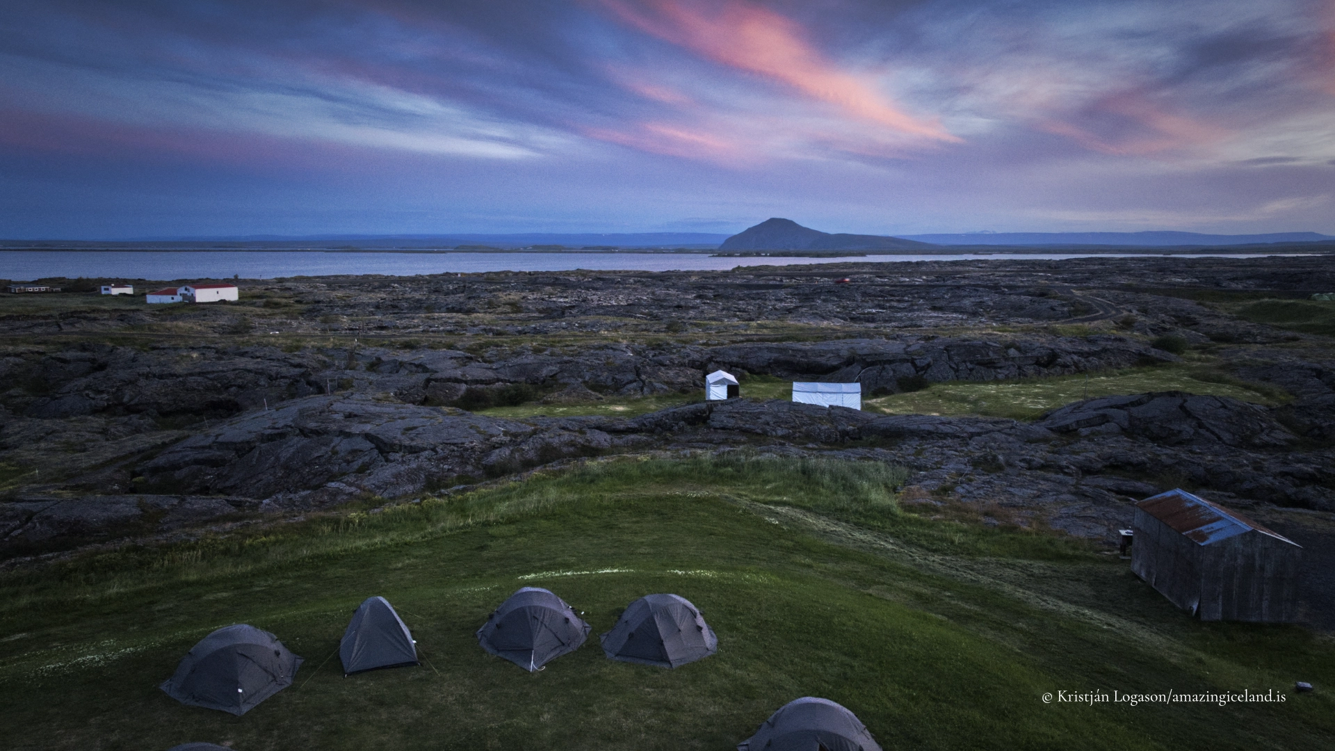
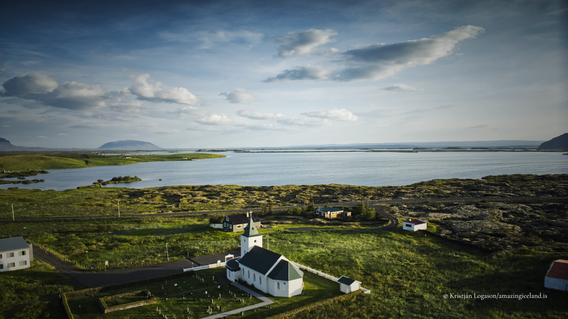
- Its photographic character lies in relationships: water against lava, birds within wetlands, islands separated by light and the changing scale of the landscape from shoreline to mountain.
- Wide views can describe the basin, but they need structure. Without a strong foreground, separation between islands or carefully observed light, the lake may flatten into an indistinct band of water.
- Vindbelgjarfjall offers the clearest opportunity to photograph the overall form. Longer focal lengths can isolate patterns within the basin, while wider compositions place the lake within its volcanic surroundings.
- Höfði offers a more intimate landscape. Trees can frame lava pillars and islands, while sheltered water may produce reflections unavailable along more exposed shorelines. Kálfaströnd provides another perspective on the same structures.
- Skútustaðagígar is strongest when the pseudocraters are shown as a group rather than unrelated hills. Elevated positions reveal their repeated form across wetlands and water. Low sunlight gives the rims depth and separates overlapping formations.
- Bird photography requires patience and distance. A long lens allows natural behaviour to continue without forcing the photographer into a bird’s space. If a bird changes direction repeatedly, calls in alarm or tries to draw attention away from a location, the photographer is already too close.
- Midge swarms create practical difficulties. A head net can be invaluable, especially when waiting beside the lake. The insects can also become part of the photograph: backlight may reveal entire clouds above the shoreline, making the lake’s productivity visible.
- Water conditions are often more important than dramatic skies. Wind can erase reflections and turn the lake into a broad grey surface. Calm conditions reveal submerged vegetation, lava forms and separation between islands.
- A polarising filter can reveal plants, stones and lava beneath shallow water, but complete polarisation may remove the surface quality that defines the lake. Long exposures can simplify moving water and clouds, but may also erase Mývatn’s restless character.
- Winter reduces the landscape to broad shapes, while open water appears almost black. Care is required around ice, which should never be assumed safe where springs, currents and changing water levels weaken it from below.
Destinations nearby