Kerlingarfjöll mountain range and Hveradalir geothermal area
Kerlingarfjöll is more than the colourful geothermal valley shown in most photographs. It is an entire mountain massif in Iceland’s central Highlands, rising south-west of Hofsjökull and containing peaks, snowfields, valleys and several geothermal areas. Snækollur, its highest summit, reaches approximately 1,477 metres above sea level.
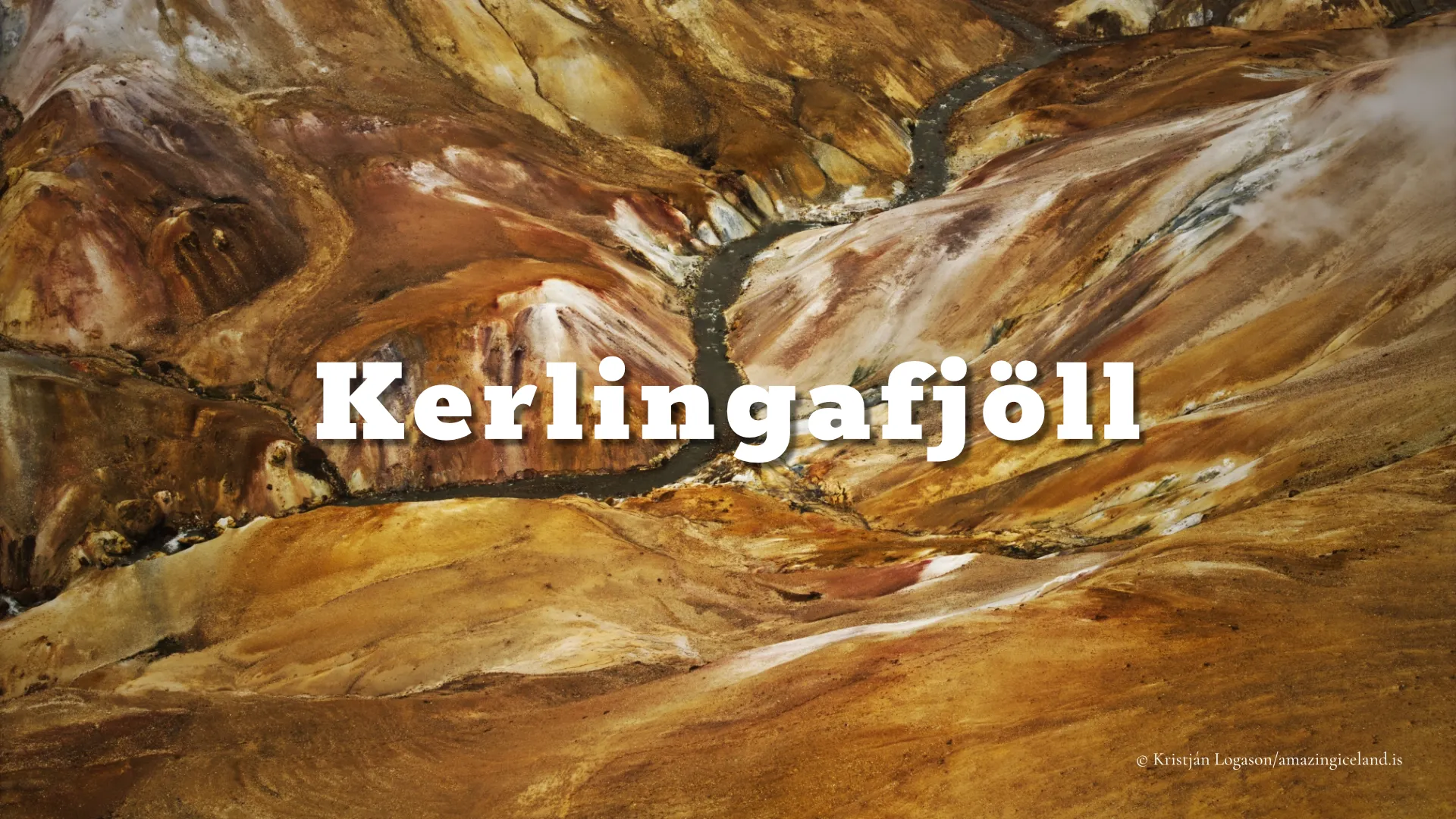
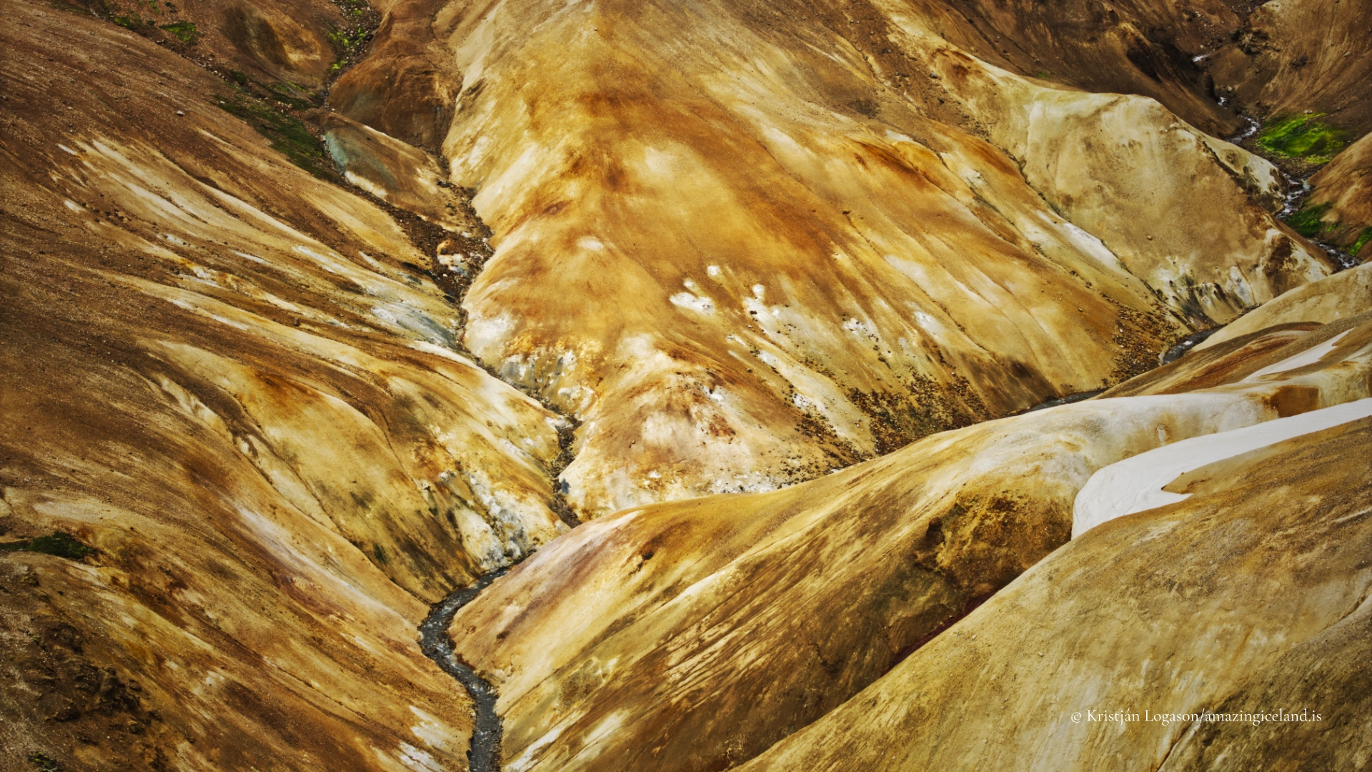
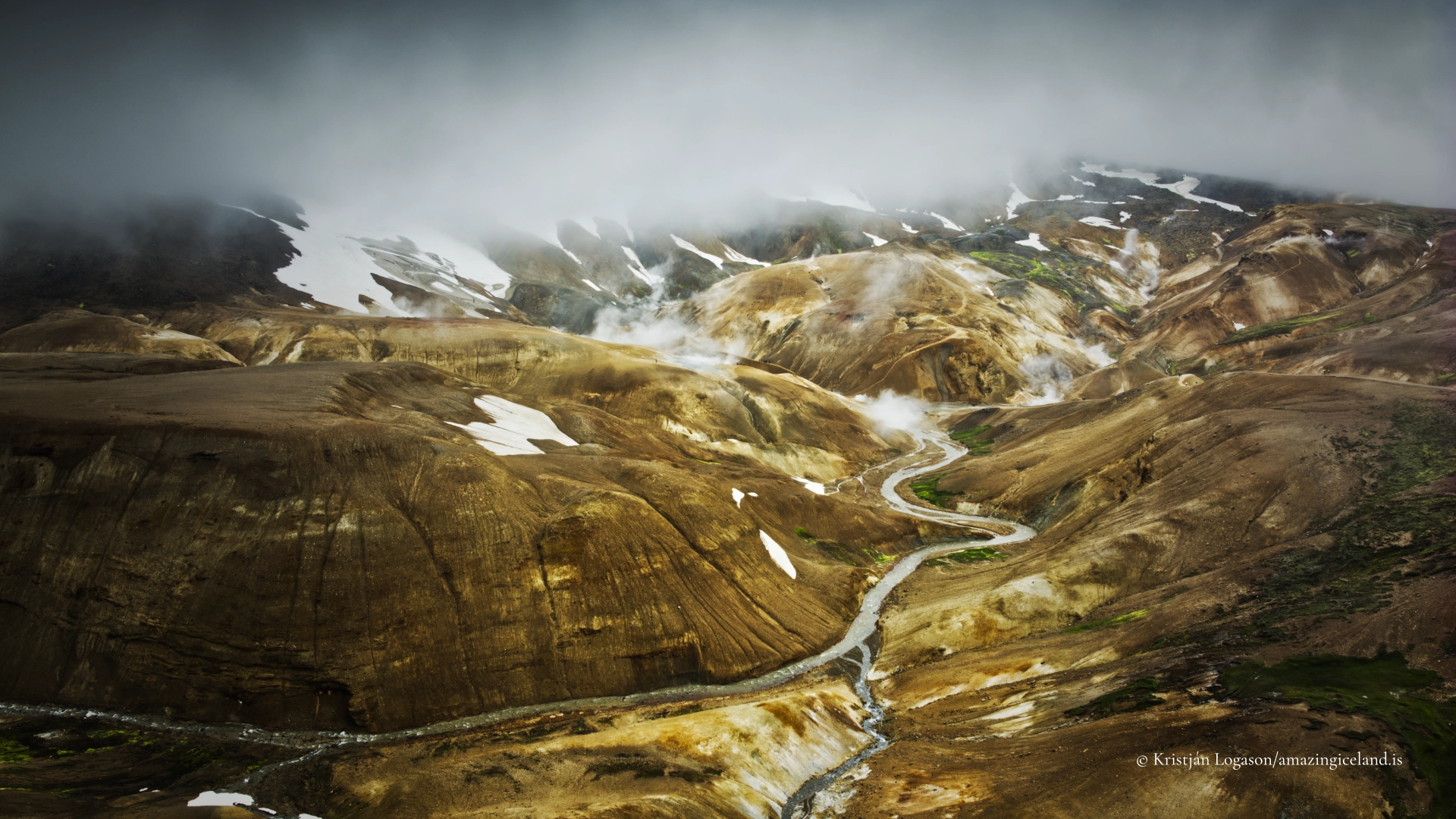
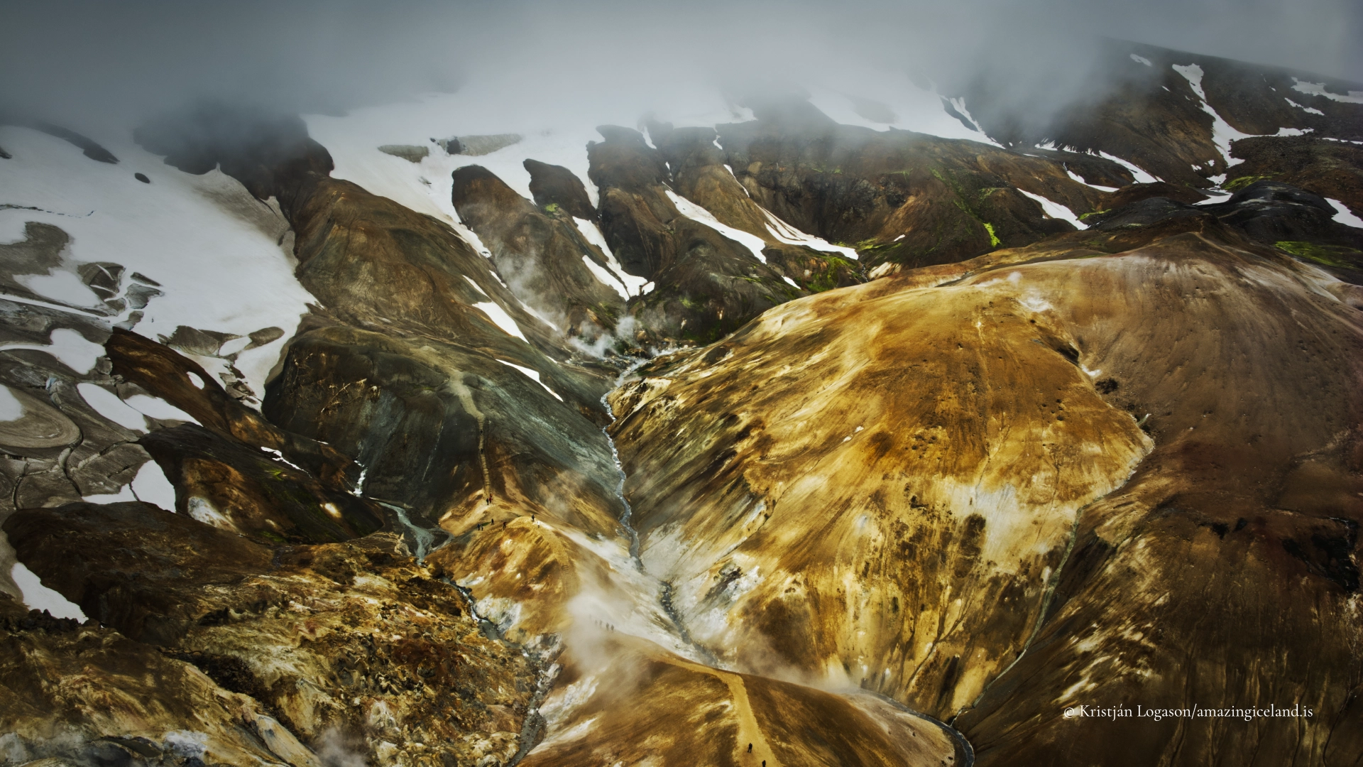
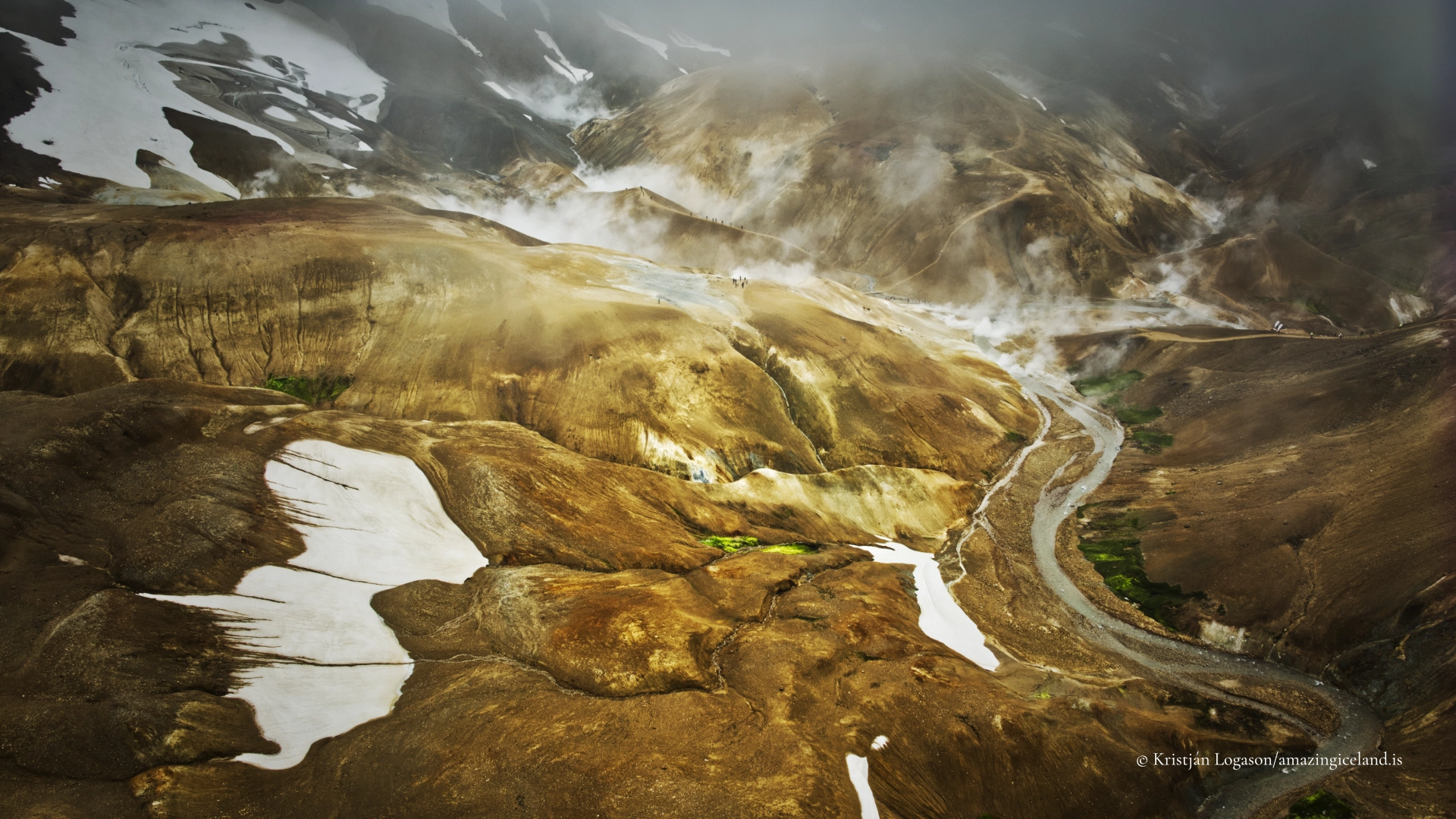
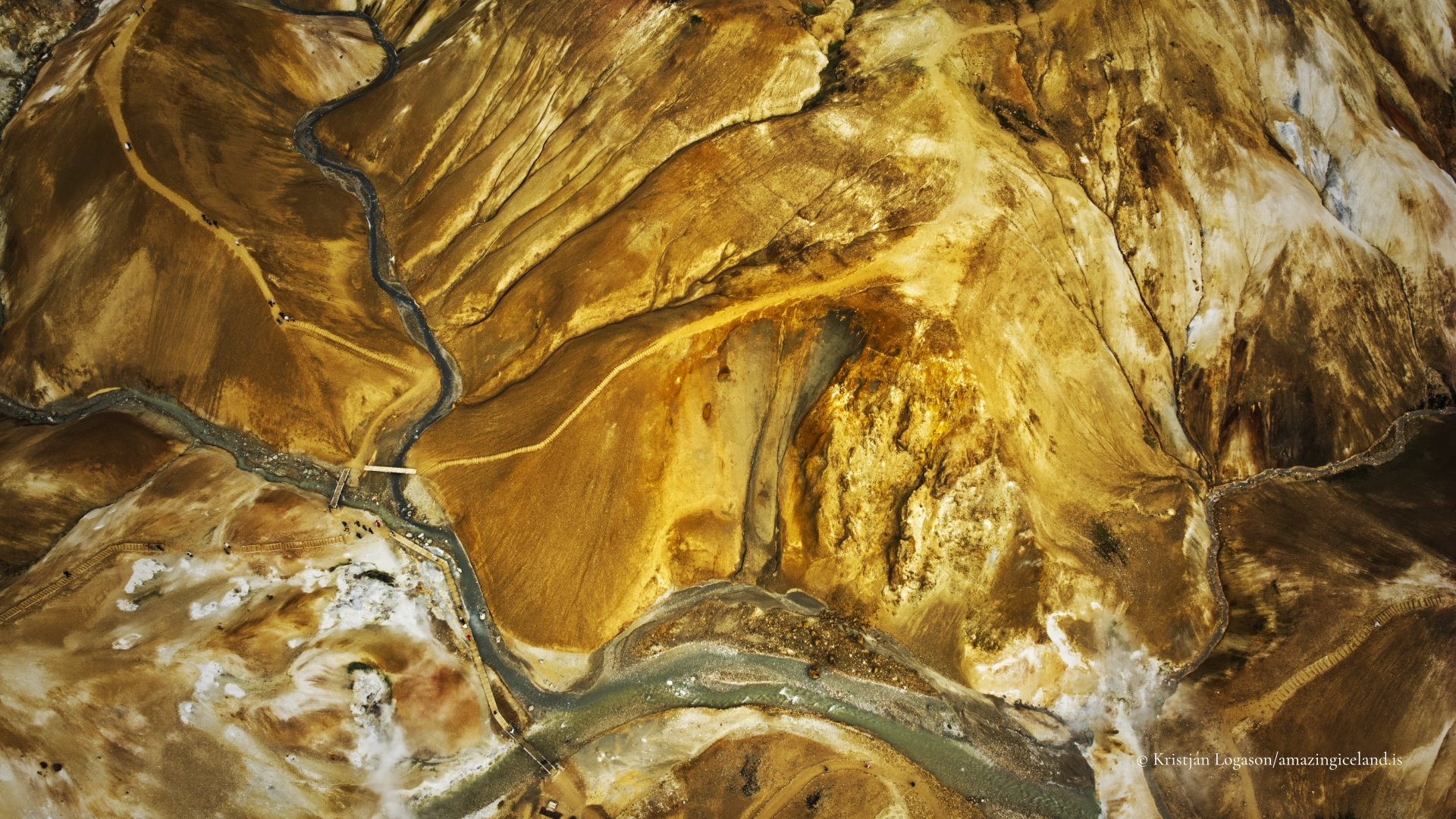
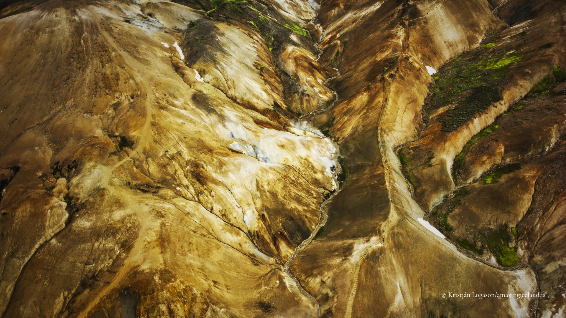
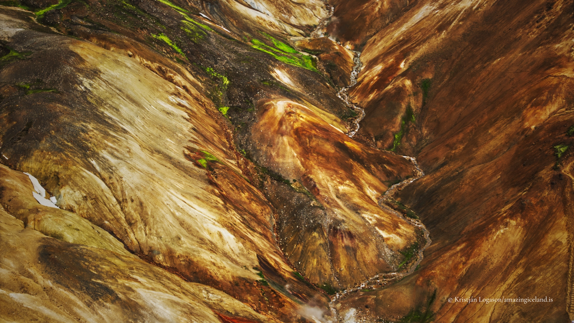
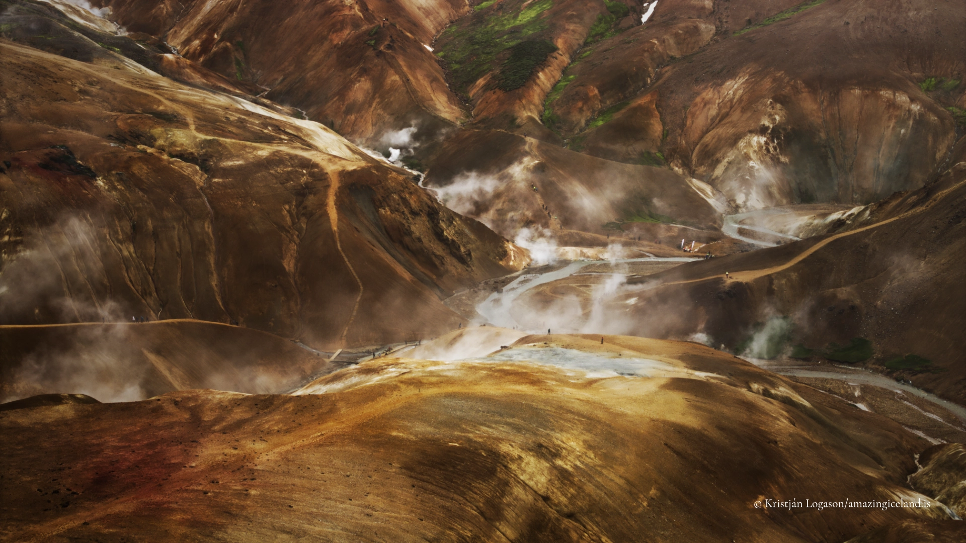
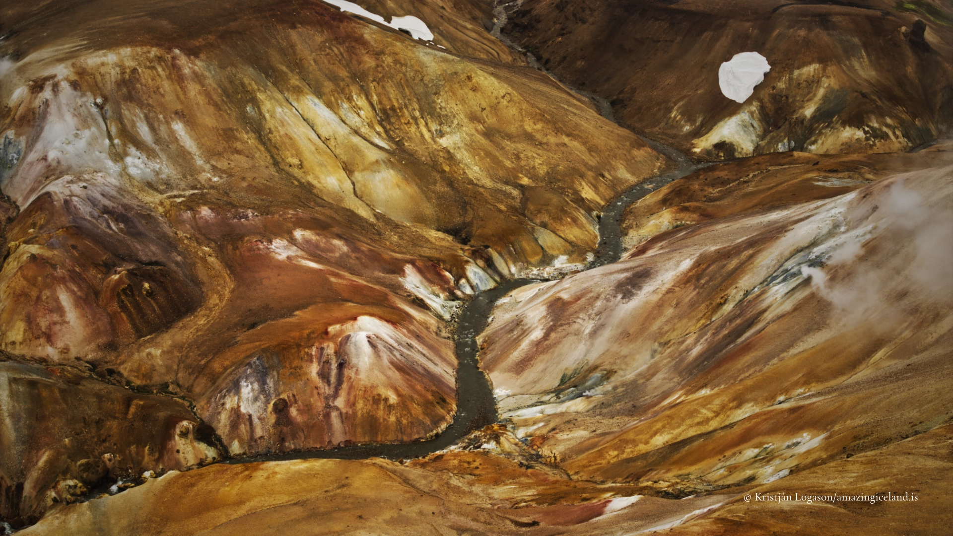
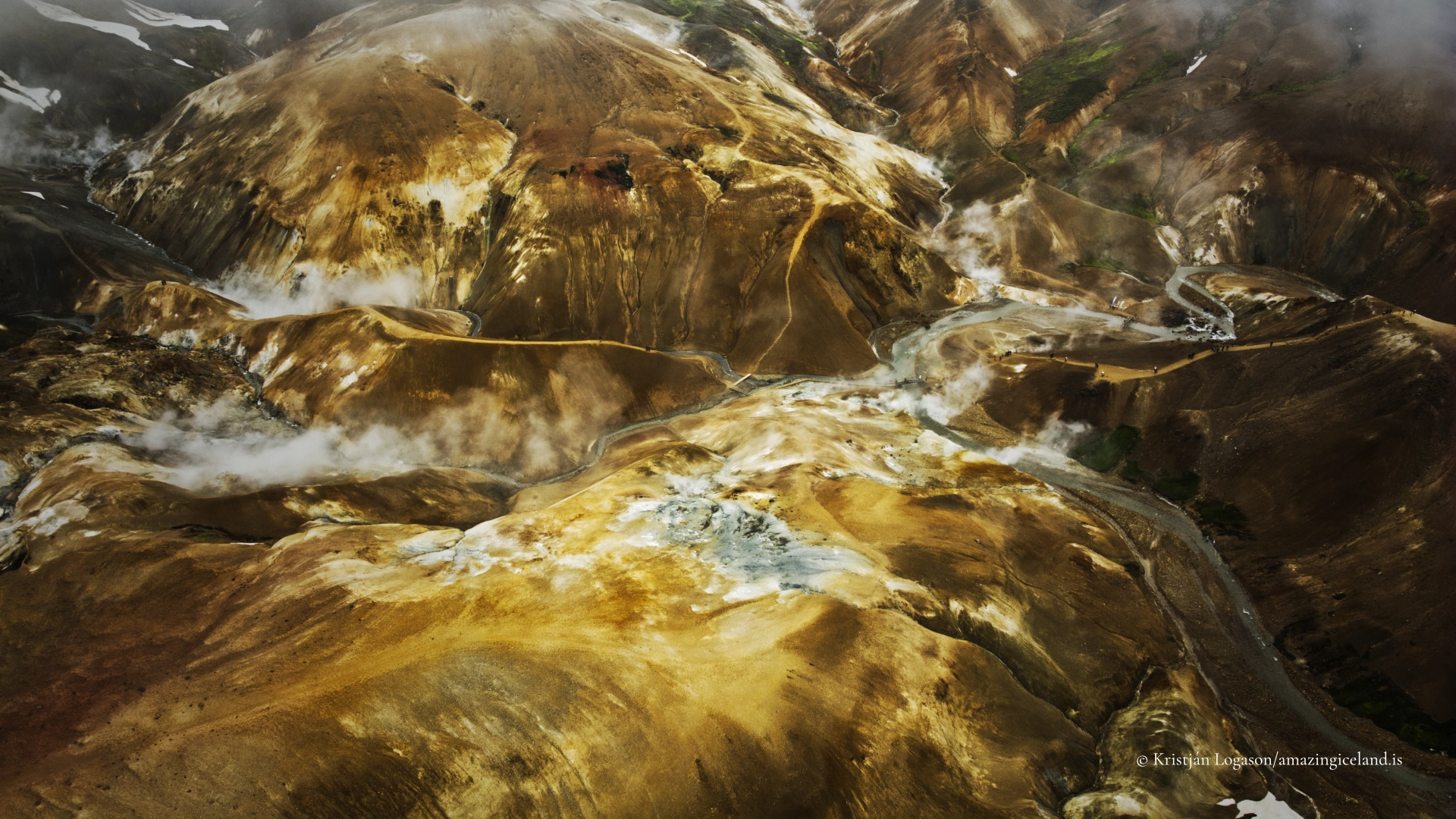
Hveradalir is the range’s best-known visitor destination. Here, steam crosses pale rhyolite slopes, snow remains in gullies beside hot ground, and geothermal fluids have transformed the rock into yellow, red, brown and grey clays. The landscape is visually inviting, but its beauty is inseparable from its instability. A surface that appears firm may be only a thin crust above scalding water, steam or hot mud.
The journey also has distinct stages. F347 leaves the Kjölur road and first reaches Ásgarður, the developed base for accommodation, camping and services. The road then continues more steeply into the mountains towards the Hveradalir parking area. From there, visitors descend almost immediately on marked earth paths into the geothermal landscape.
Kerlingarfjöll also has an unusual modern history. For decades it was one of Iceland’s important summer-skiing areas, a place where young skiers trained on highland snow during the brightest months of the year. That era has largely ended, but it remains part of what Kerlingarfjöll has meant to Icelanders—not merely remote geology, but a place of work, training and repeated return.
The location of Kerlingarfjöll mountain range and Hveradalir geothermal area
Latitude
64.6465
Longitude
-19.2791
Kerlingarfjöll mountain range and Hveradalir geothermal area
A rhyolite mountain range beside Hofsjökull
Kerlingarfjöll lies south-west of Hofsjökull, beside the Kjölur route through the central Highlands. It is one of Iceland’s largest rhyolitic mountain areas. Basalt dominates much of Iceland’s exposed volcanic landscape, while rhyolite is associated particularly with more evolved central volcanic systems. Its presence here helps explain the range’s pale rock, varied mineral colours and sharply eroded ridges.
The name Kerlingarfjöll means “Old Woman Mountains.” The plural matters: this is a range rather than one mountain or one geothermal valley. Snækollur is the highest summit, but the identity of Kerlingarfjöll emerges from the complete massif—multiple peaks separated by valleys, persistent snowfields and ground altered by heat.
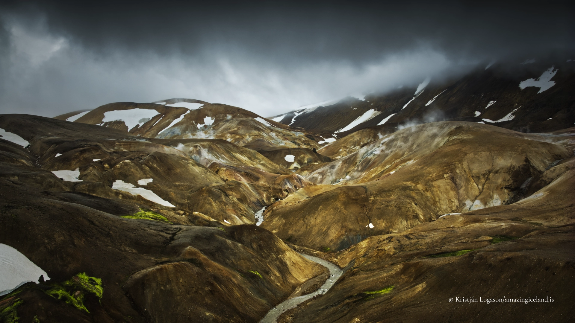
At this elevation, light and weather can change the apparent colour of the mountains quickly. Dry rhyolite may look pale and subdued. Rain deepens reds and browns, while low sunlight reveals layers and gullies that flatten under overcast skies. Steam may hide an entire slope and then release it moments later.
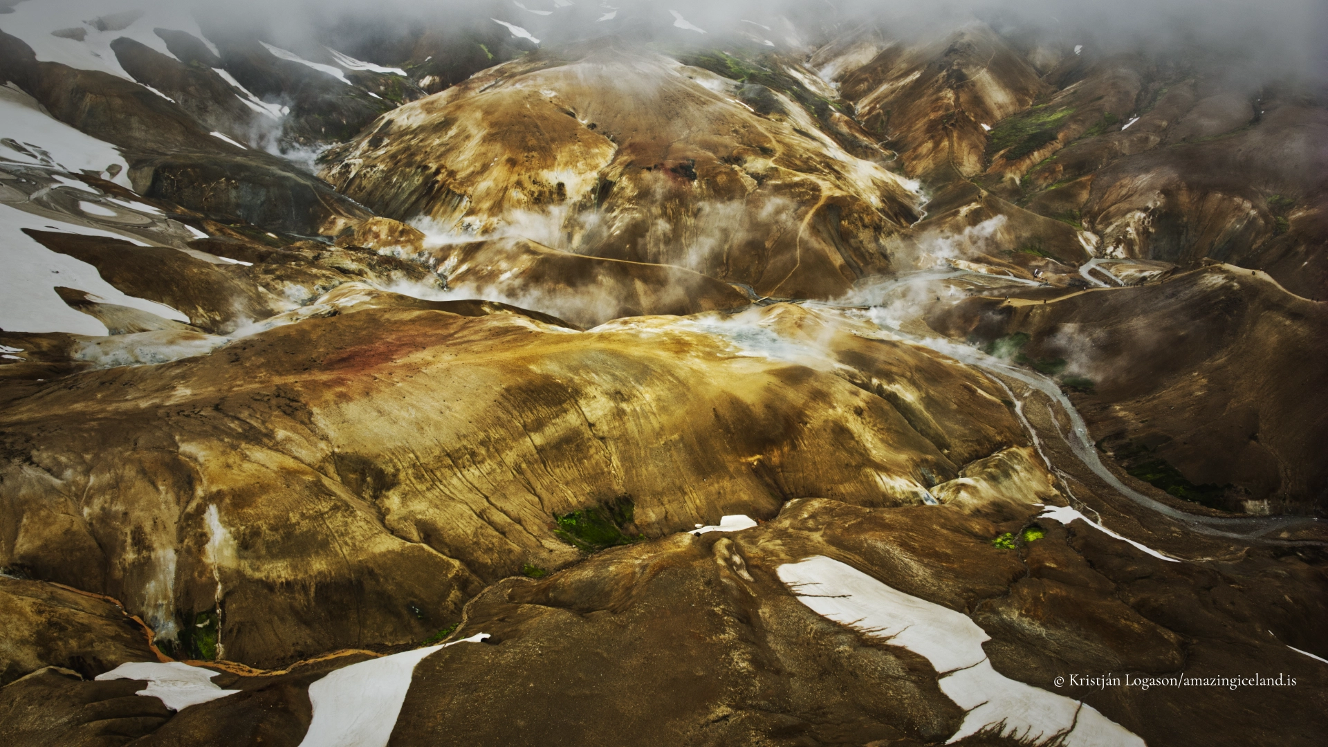
Snow is equally important to the landscape. It may remain in sheltered gullies long into summer, and fresh snow can fall on the higher mountains in any month. The familiar meeting of snow and steam is therefore not simply a visual contrast. It reflects a mountain environment in which altitude, ice, weather and geothermal heat continue to act together.
Mountains formed beneath ice
Kerlingarfjöll was built through repeated volcanic activity, much of it occurring beneath glaciers. When magma erupts below thick ice, meltwater, pressure and rapid cooling affect how volcanic material accumulates. Successive eruptions created a complex massif rather than a single symmetrical volcano.
Glaciers later eroded and reshaped the mountains, cutting valleys and exposing internal layers. Rivers, snowmelt, frost and slope movement continued the process after the ice retreated. The sharp ridges and deeply divided terrain seen today are therefore the product of both construction and removal: volcanic material built the range, while ice and water opened it.
Geothermal activity adds another form of change. Hot, often acidic fluids pass through the rock and convert some of its minerals into clay. Iron-bearing minerals oxidise, while sulphur and other geothermal products contribute additional colour. This hydrothermal alteration creates the vivid surfaces for which Kerlingarfjöll is known, but it also weakens the ground.
Colours alone cannot identify temperature or stability. A quiet-looking patch may be hot below the surface, and an area without visible steam is not necessarily safe to cross. The marked routes through Hveradalir are therefore both access infrastructure and a boundary between ground assessed for visitors and ground that must be left alone.

Hveradalir and the geothermal system
Hveradalir is one part of a larger geothermal system within Kerlingarfjöll. Its name can be understood as “hot-spring valleys,” and the plural again suits the landscape: a succession of gullies and slopes rather than one level basin.
Steam vents, hot springs and mud pools reveal heat close to the surface. Water percolates underground, is heated, and returns as hot water or steam. Where geothermal fluids alter the surrounding rock into fine clay, bubbling mud may form. The visible features can change as channels open, close or become obstructed.
Water and mud may be at or near the local boiling temperature. More deceptive than an obvious pool is the thin crust that can form above hot, softened ground. It may resemble the surrounding surface while lacking the strength to carry a person. Breaking through can cause severe burns, and rescue from unstable geothermal ground may endanger others.
Visitors must remain on the marked paths, timber steps and bridges. These are principally ordinary earth trails rather than continuous boardwalks, so care is still required. Children should be kept close, and dogs must be controlled according to the rules applying in the protected area. No photograph, shortcut or apparently clean viewpoint justifies stepping beyond the route.
Bathing is not appropriate in Hveradalir. The geothermal water encountered here is neither a natural spa nor something to test by hand. Kerlingarfjöll does have bathing possibilities at Ásgarður: developed bathing at the accommodation area and a natural pool reached by a walk of roughly 1.1 kilometres along Ásgarðsá. Both are separate experiences from the geothermal field and should be approached according to current local guidance.
The human history of Kerlingarfjöll
Kerlingarfjöll’s altitude and isolation prevented ordinary farming and permanent settlement, but the mountains were never simply an untouched scientific landscape. During the second half of the twentieth century, the area became one of Iceland’s best-known summer-skiing centres.
A ski school operated here for decades. Young people travelled into the Highlands to train on snowfields while the lowlands were green, living and practising in a landscape reached by rough roads and governed by mountain weather. For a generation of Icelandic skiers, Kerlingarfjöll was not an abstract wilderness but a formative place.
Declining and less dependable summer snow eventually undermined that tradition. The ski-school era has largely ended, leaving hiking and the geothermal landscape as the main reasons most visitors now come. Its history nevertheless adds an important human dimension. The accommodation and road did not appear solely for present-day sightseeing; they belong to a longer period of organised activity in the mountains.
Kerlingarfjöll was designated a landscape conservation area in 2020. Protection recognises the value of the complete massif: its geology, geothermal features, landforms, vegetation, visual character and wilderness setting. It also makes responsible movement essential. Off-road driving damages ground that may recover extremely slowly, while shortcuts widen trails and accelerate erosion on soft slopes.
Reaching Kerlingarfjöll by F35 and F347
The ordinary summer approach begins on Kjalvegur, F35, the highland route across Kjölur. Kerlingarfjallavegur, F347, leaves F35 and reaches Ásgarður after approximately ten kilometres. The road continues beyond Ásgarður towards the Hveradalir parking area.
There are no unbridged river crossings on this normal F35–F347 approach. A four-wheel-drive vehicle is nevertheless recommended, and the section beyond Ásgarður is the steeper part of the journey. Road surfaces, potholes, loose gravel, snow and weather damage change between seasons and within a summer. Drivers must check current road status, weather information and the restrictions attached to their vehicle.
Other tracks enter the wider Kerlingarfjöll area from the south and east, but they are substantially more demanding and include unbridged rivers. They should not be treated as equivalent alternatives to the main approach. Anyone considering them needs appropriate experience, a suitable vehicle and current local information.
No fixed opening date can be promised. Highland roads open only after snow, thaw and road damage allow them to carry traffic, and they may close again when conditions deteriorate. Snow can fall in the mountains during any month. Mobile reception is unreliable in hollows, including around Hveradalir, so visitors should not depend on continuous telephone coverage.
Fuel is not available in Kerlingarfjöll or along the Kjölur crossing. Travellers should arrive with sufficient fuel, food and clothing for cold and wet conditions, even when the lowland forecast appears favourable.
From Ásgarður to Hveradalir
Ásgarður is the service base within Kerlingarfjöll. Accommodation, camping and visitor facilities are concentrated there. Services and access may change between seasons, so details should be checked before relying on them.
Hveradalir lies farther into the mountains. Day visitors commonly continue by vehicle beyond Ásgarður on the steeper upper part of F347. The Hveradalir parking area has space for approximately twelve to fifteen cars under ordinary conditions. When it is full, visitors must not create new parking on fragile ground or obstruct the road.
The first view and the descent into the geothermal landscape begin almost immediately from the parking area. This makes Hveradalir feel unusually accessible, but the return requires climbing back to the vehicle. The official circuit through the geothermal area generally takes about one to two hours, depending on pace, conditions and how much of the marked route is explored.
Visitors may also hike from Ásgarður and choose among longer routes through the range. These should be selected according to individual fitness, experience, weather and current trail information rather than reduced to one universal recommendation. Kerlingarfjöll is mountain country even when a car park stands close to its best-known view.
Walking through hot and fragile ground
The paths in Hveradalir cross steep and uneven terrain. They are marked earth trails supplemented by timber steps and bridges where needed. Surfaces may become slippery in rain, and steam can briefly obscure both the route and other walkers.
The immediate descent must be considered before setting out. Anyone who finds the downward route difficult will still need to climb back. Weather may also change while visitors are below the parking area, replacing clear views with cloud, wind, rain or snow.
The most important rule is simple: stay on the established route. This protects visitors from hot, thin-crusted ground and protects the landscape from trampling and erosion. Geothermal surfaces recover slowly, and footprints outside the trail encourage others to follow.
Kerlingarfjöll rewards patience more than distance. Steam repeatedly conceals and reveals the ridges, and the relationship between altered ground, remaining snow and the larger massif changes from every bend. The purpose is not to get as close as possible to a vent, but to understand how heat continues to modify mountains first built by volcanism and ice.
Interesting facts:
-
- Kerlingarfjöll is a mountain range, while Hveradalir is one geothermal area within it.
- The range lies south-west of Hofsjökull, and its highest summit, Snækollur, reaches approximately 1,477 metres.
- Much of the massif is rhyolitic and was formed through repeated volcanic activity, including eruptions beneath ice.
- Kerlingarfjöll was an important Icelandic summer-skiing centre for decades.
- The area has been protected as a landscape conservation area since 2020.
- The ordinary F35–F347 approach has no unbridged river crossings, but a four-wheel-drive vehicle remains recommended.
- Hveradalir’s most easily underestimated danger is thin crust above hot water, steam or mud.
- Bathing belongs at the designated options around Ásgarður, not in Hveradalir.
Image Gallery
Photography tips:
-
- Use elevated viewpoints to show Hveradalir as one part of the larger Kerlingarfjöll range.
- Build wide compositions in layers: altered ground, moving steam, snowfields and distant rhyolite ridges.
- Include people on the established paths when a sense of scale is useful. The figures also help explain how the route moves through the landscape.
- A longer lens can isolate steam vents, clay slopes, remaining snow and patterns of erosion without leaving the path.
- Overcast light retains detail in pale minerals and steam. Low side light reveals the folded structure of gullies and ridges.
- Wait for steam to move. A hidden slope may reappear within seconds, producing a stronger composition without any change of position.
- Do not remove all haze in editing. Steam and atmospheric depth are part of the place.
- Keep saturation restrained, particularly in yellow and orange ground. The natural colours are strong enough without exaggeration.
- Never step outside the marked route for a cleaner foreground or a closer view. Apparently solid ground may be a thin crust above scalding water or mud.
- Drone photography must follow the current rules and permit requirements for the protected area.
Destinations nearby