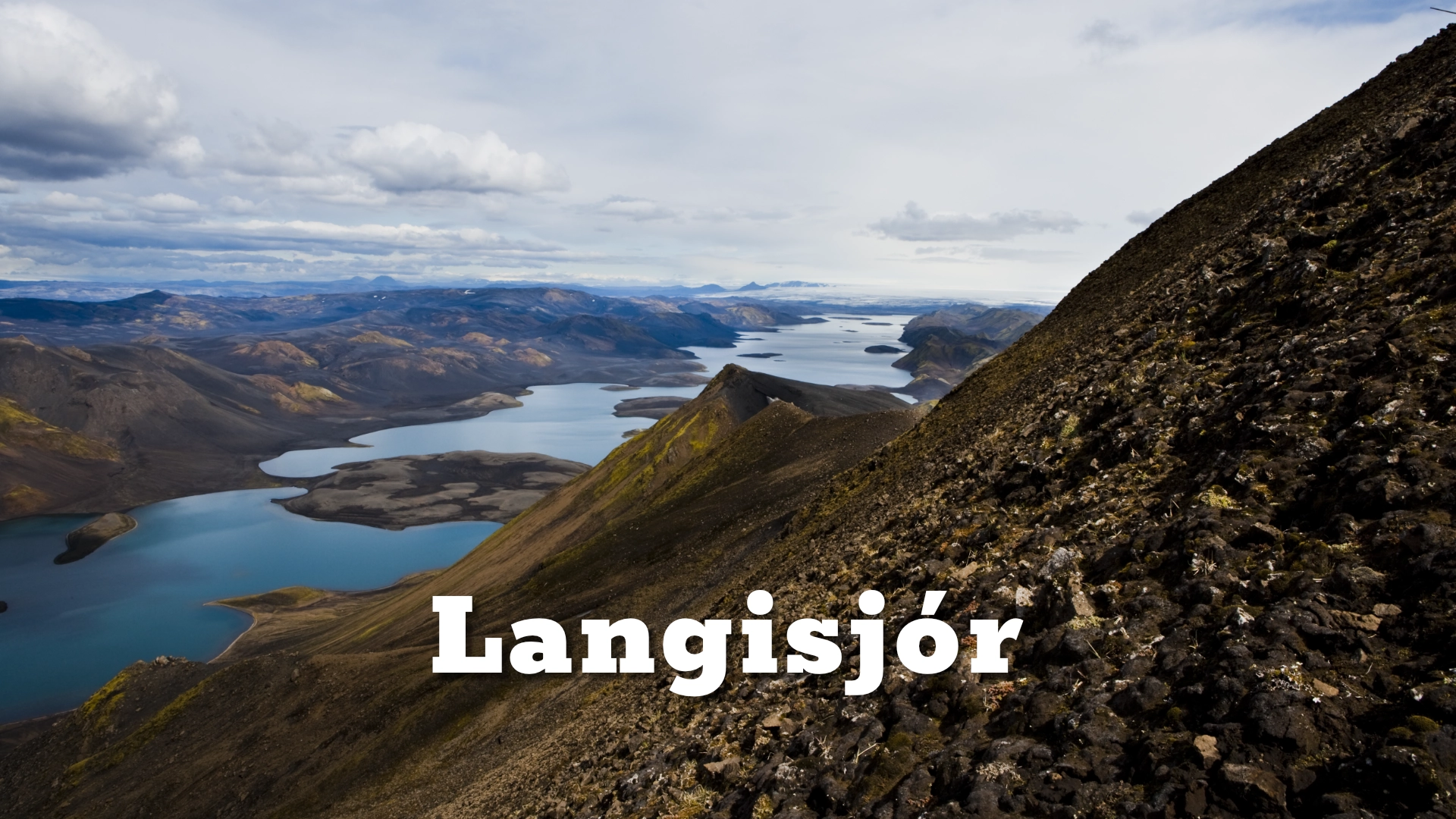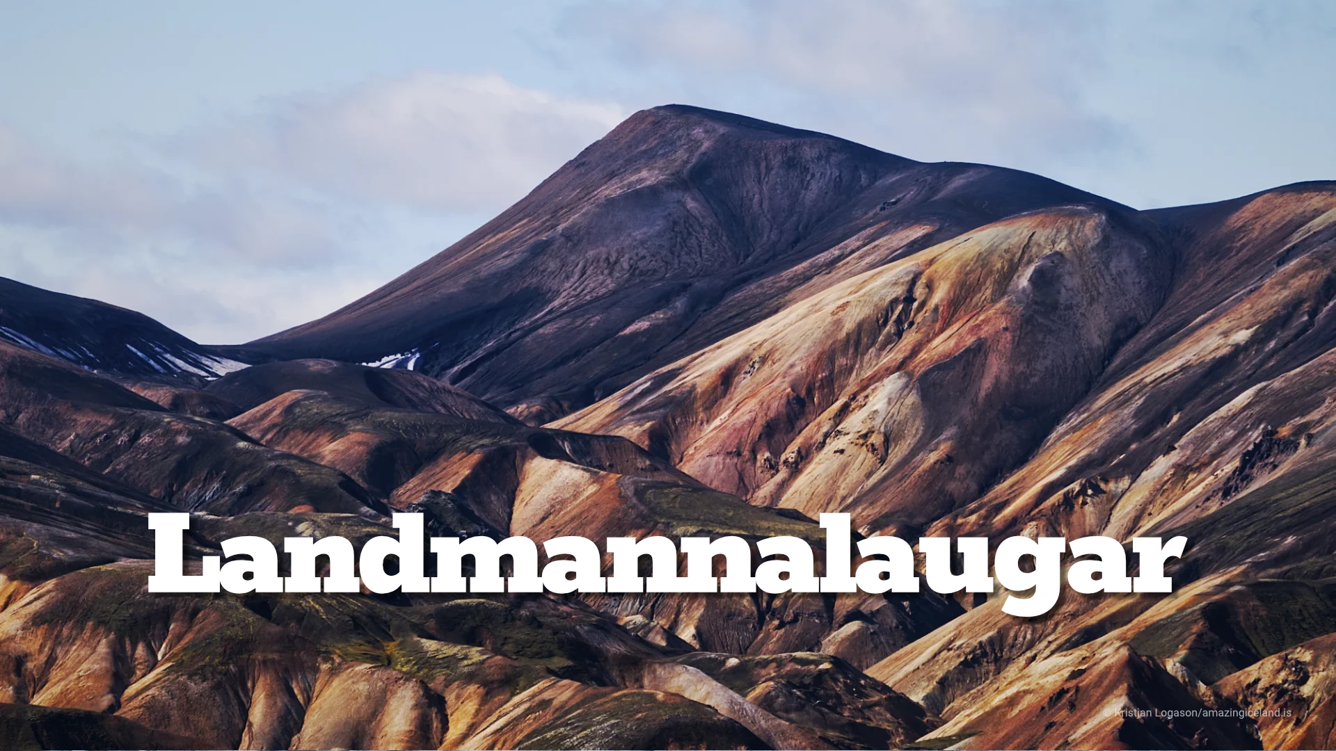
Kaldidalur valley
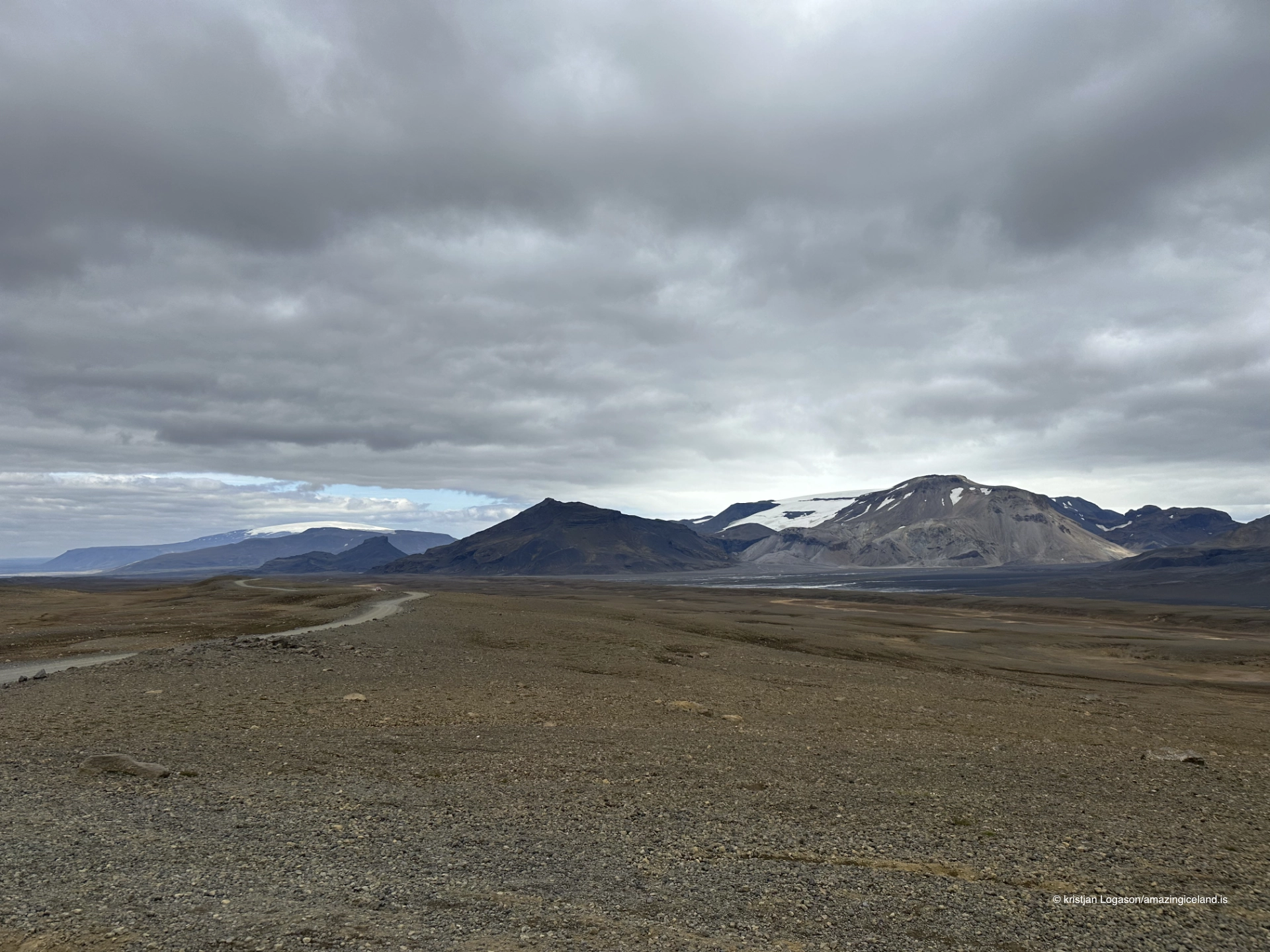
Kaldidalur is not a destination arranged around one viewpoint. It is a landscape understood through movement: a long highland crossing where the road, mountains and changing weather gradually reveal the form of the valley.
Kaldadalsvegur, Road 550, follows this western highland corridor between the road network north of Þingvellir and the routes leading towards Húsafell and Kalmannstunga. The recognised highland section is approximately 40 kilometres long. It has no unbridged river crossings, but that should not be mistaken for an easy drive. The surface can be rough, the ascent from the Húsafell side is steep, and there are almost no proper stopping areas.
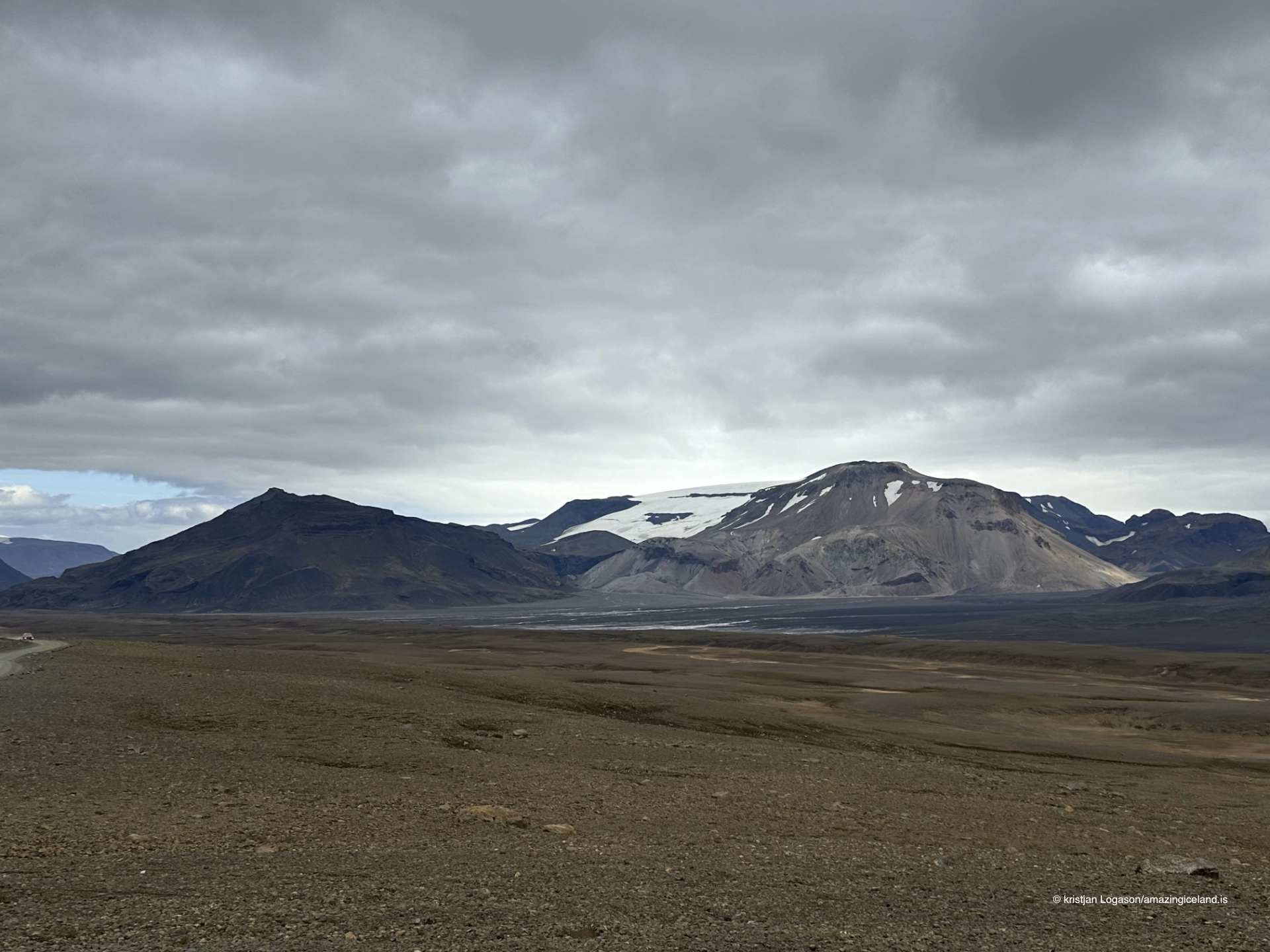
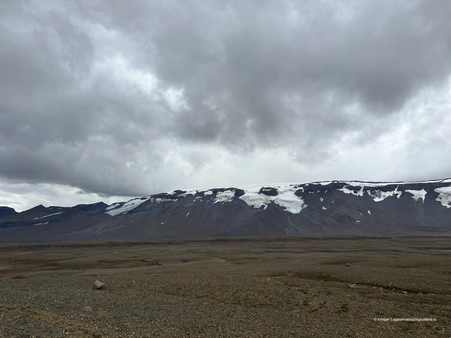
The valley lies most directly between Ok to the west and Þórisjökull to the east. Langjökull forms part of the wider glacial landscape beyond Þórisjökull, while Hlöðufell may appear in broader views towards the southern highlands. These mountains and ice-covered uplands give direction to a landscape with few signs and little infrastructure.
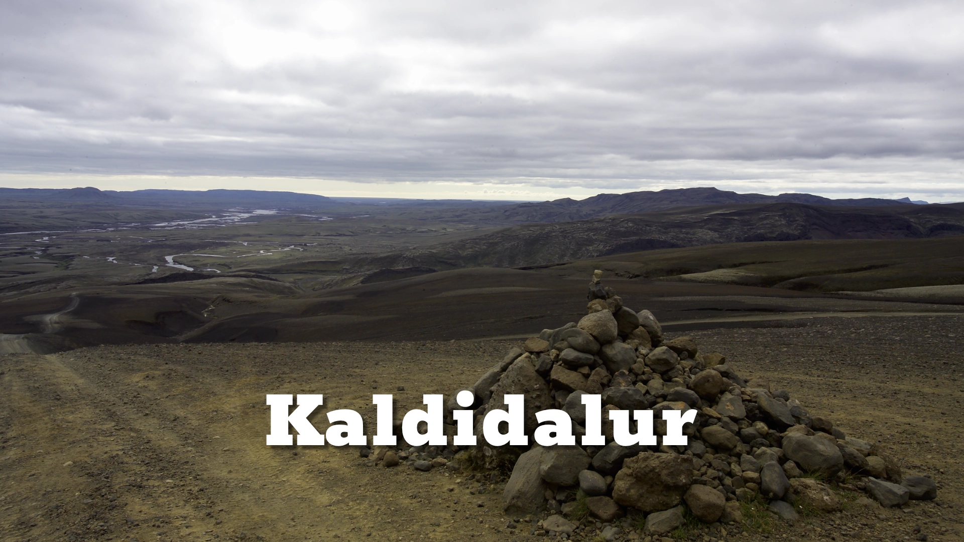
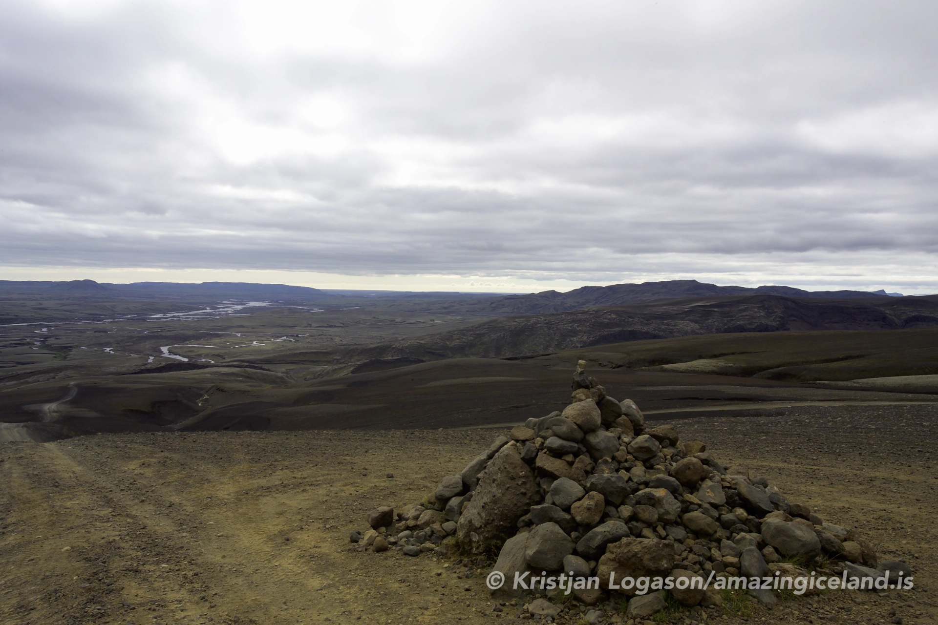
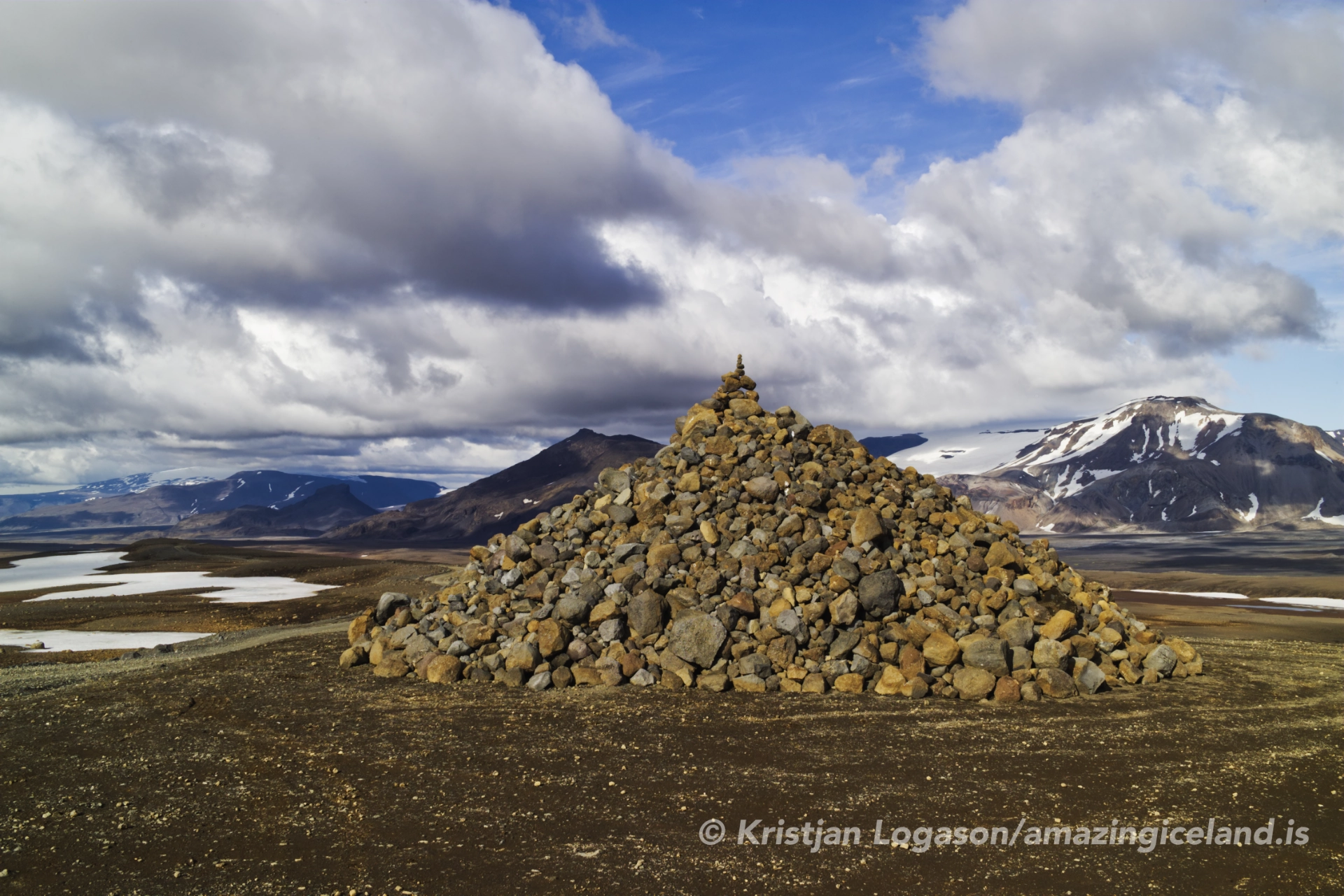
Long before Road 550, travellers crossed Kaldidalur on foot or horseback. A cairn known as Beinakerling recalls that history and the verses once left by people travelling through the interior. Modern vehicles have changed the speed of the crossing, but not its central condition: the journey still depends on weather, season and the willingness to turn back when the valley is not passable.
The location of Kaldidalur valley
Latitude
64.6718
Longitude
-20.6746
Kaldidalur valley
A valley defined by the journey through it
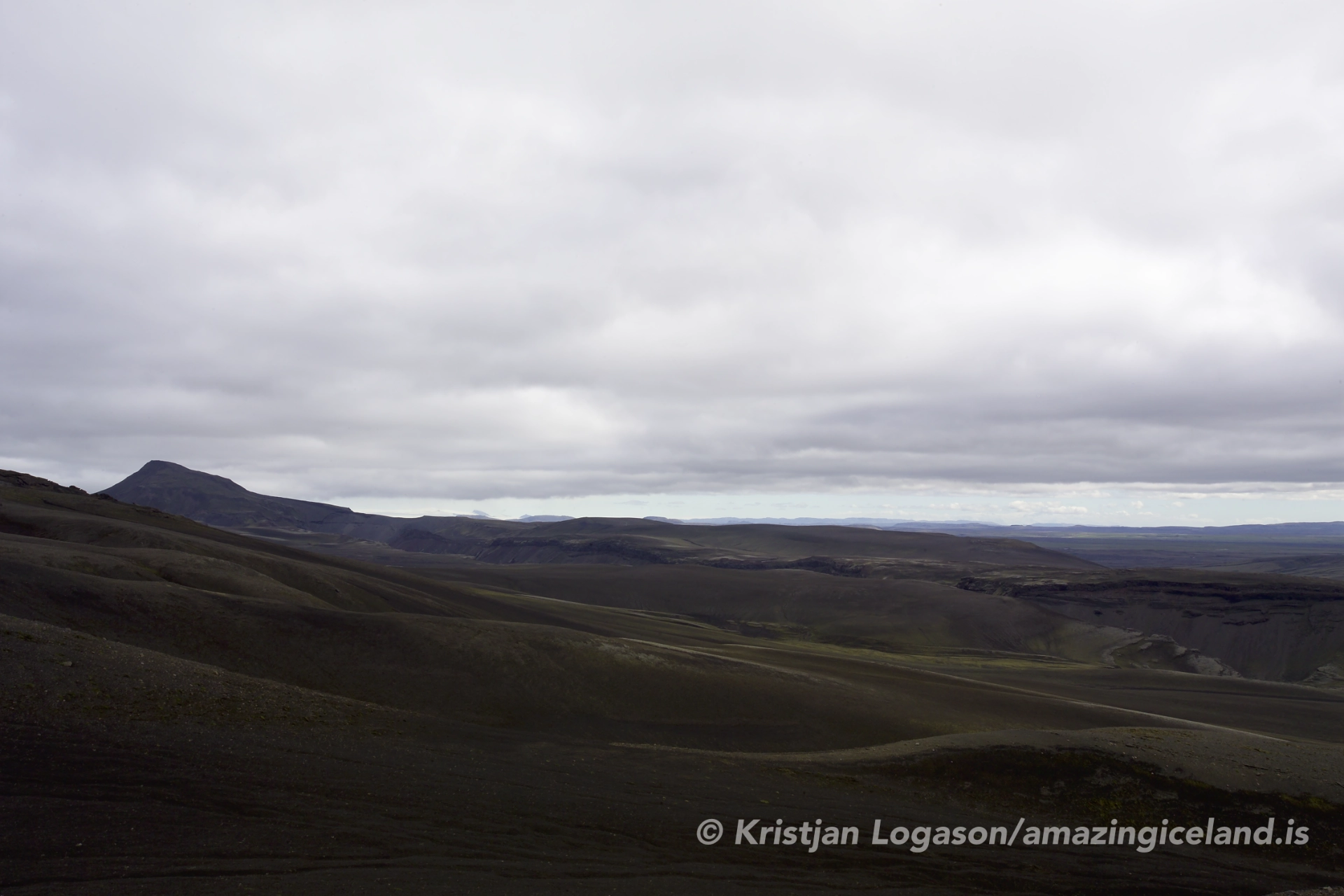
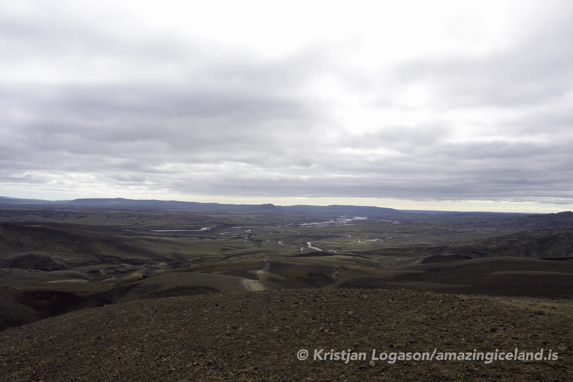
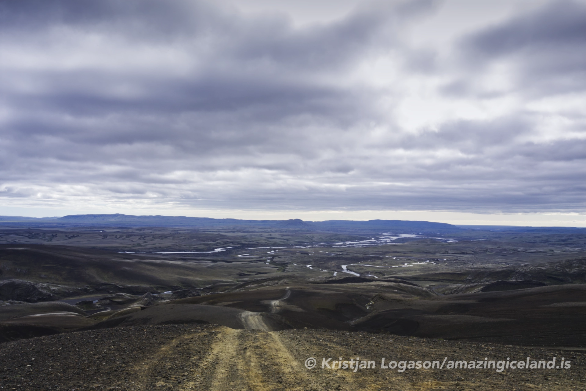
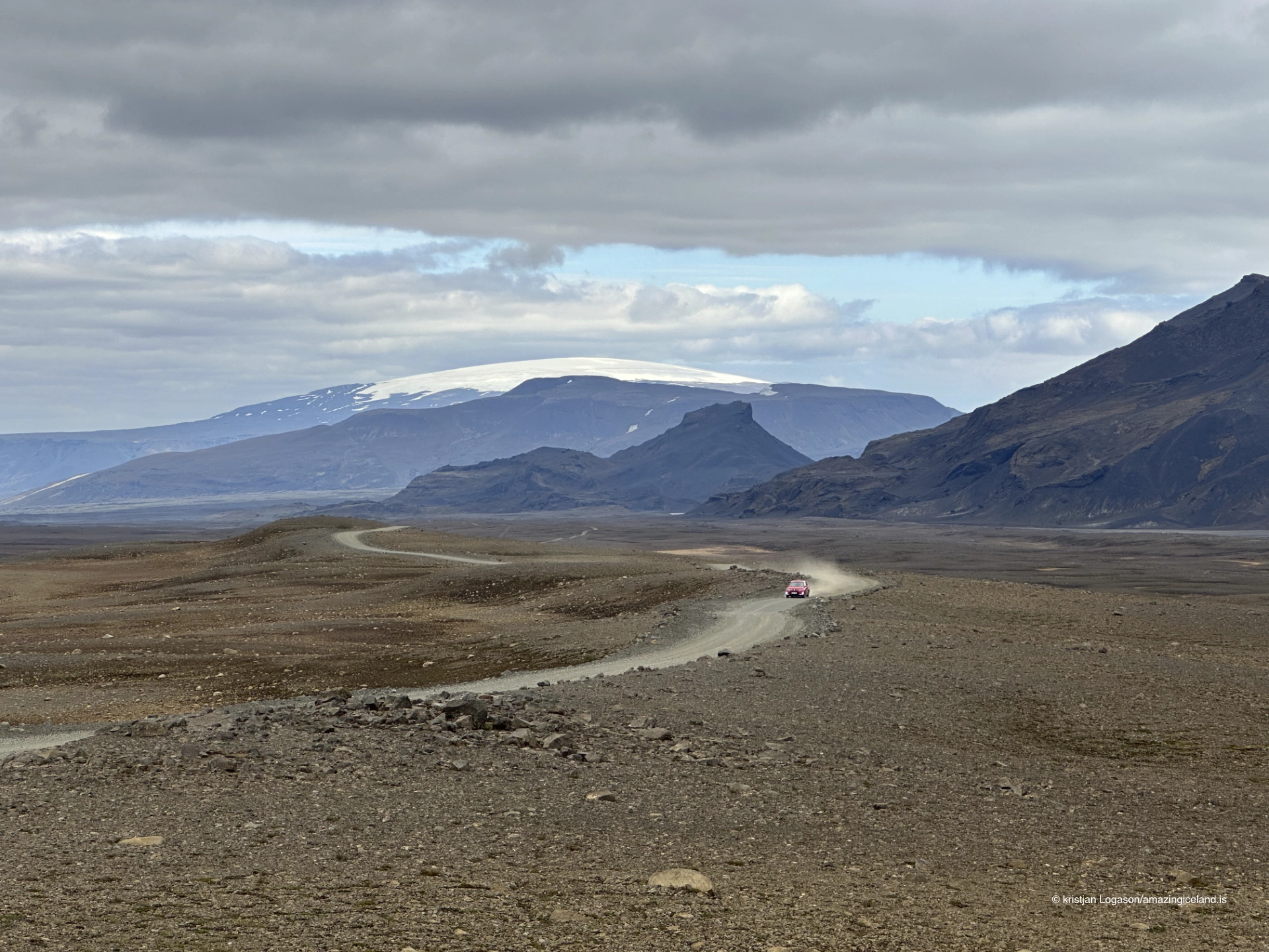
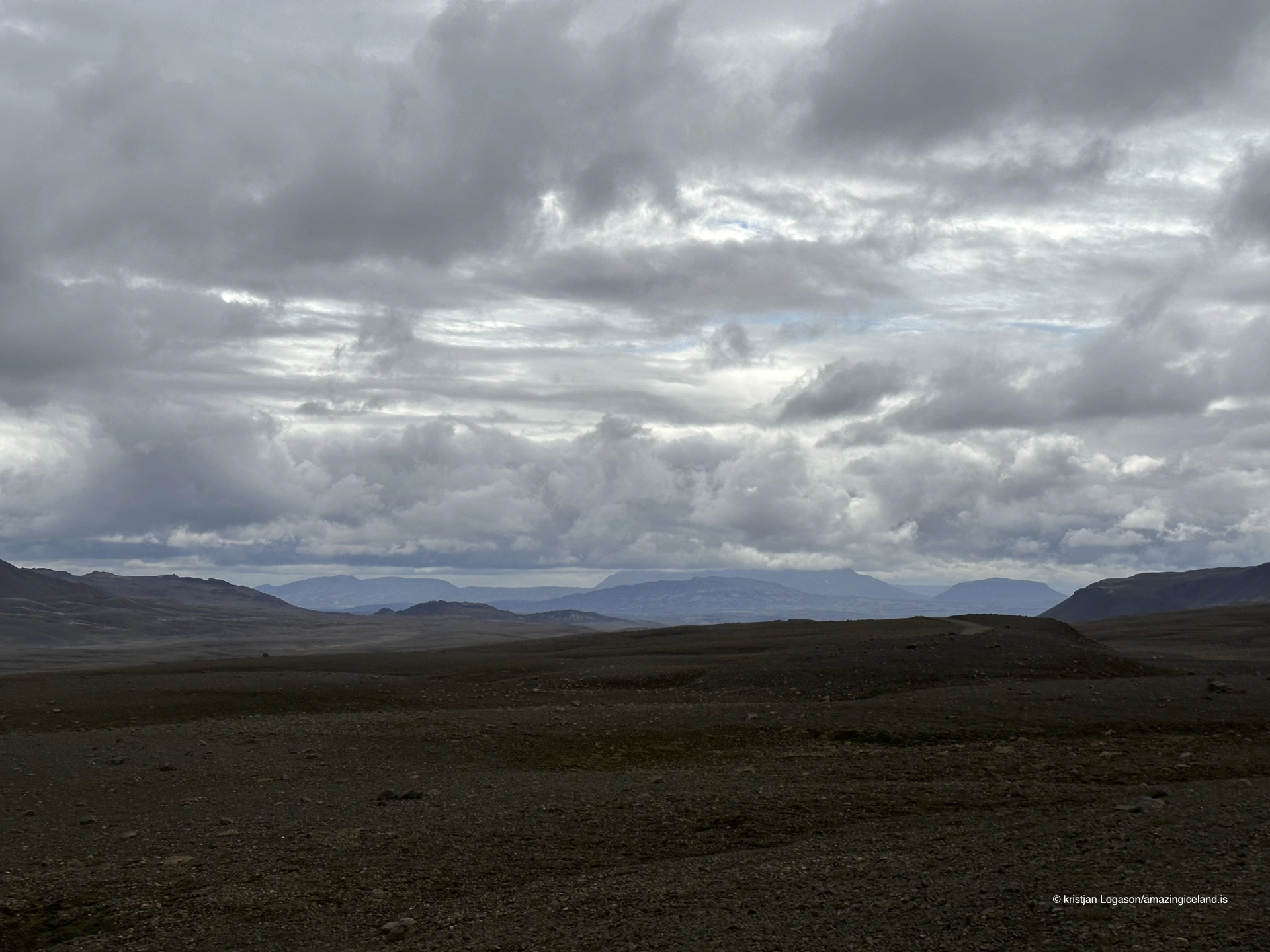
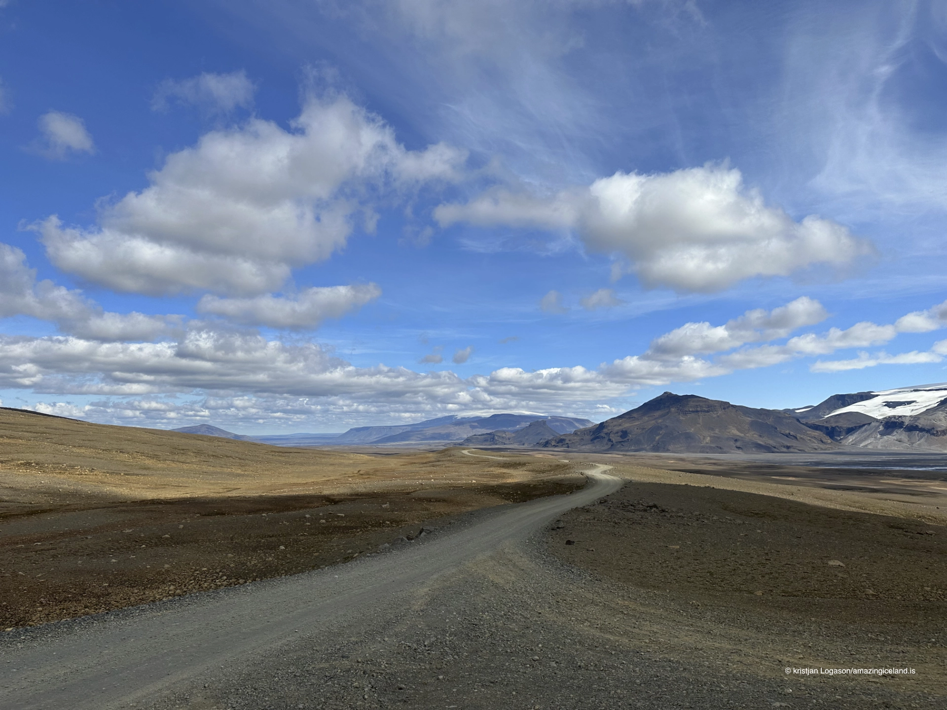
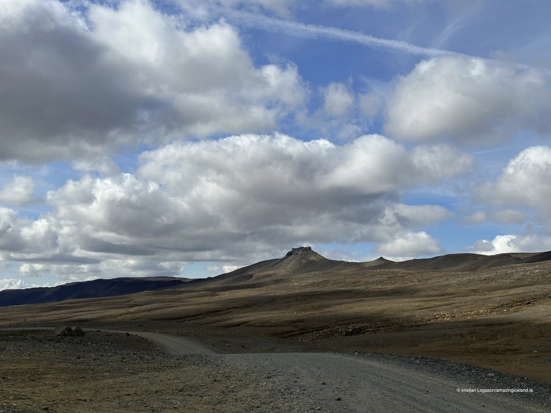
Kaldidalur runs broadly north–south through the western Highlands. Its open floor, sparse vegetation and long sightlines make distance unusually visible. The road may appear to continue without interruption towards the horizon, while mountains that seem close remain far away.
The valley was shaped through repeated glacial occupation, erosion and the movement of meltwater and sediment. Gravel, glacial deposits and exposed ground dominate much of the route. Vegetation remains limited by altitude, a short growing season, wind exposure and the character of the surface. The result is not an empty landscape, but one in which small changes in ground, snow and light become more noticeable because so little conceals them.
Kaldidalur is often translated as “Cold Valley,” an interpretation that fits the experience of the place. Cold air, wind and rapidly moving cloud can make the crossing feel severe even in summer. The name does not require a romantic explanation: exposure is one of the valley’s defining realities.
There is no single moment at which the whole of Kaldidalur is revealed. Its scale emerges gradually as the road rises, bends and passes from one open section into another. This is why the original description—a valley made for crossing—remains accurate. Stopping can deepen the experience, but movement gives the landscape its structure.
Between Ok and Þórisjökull
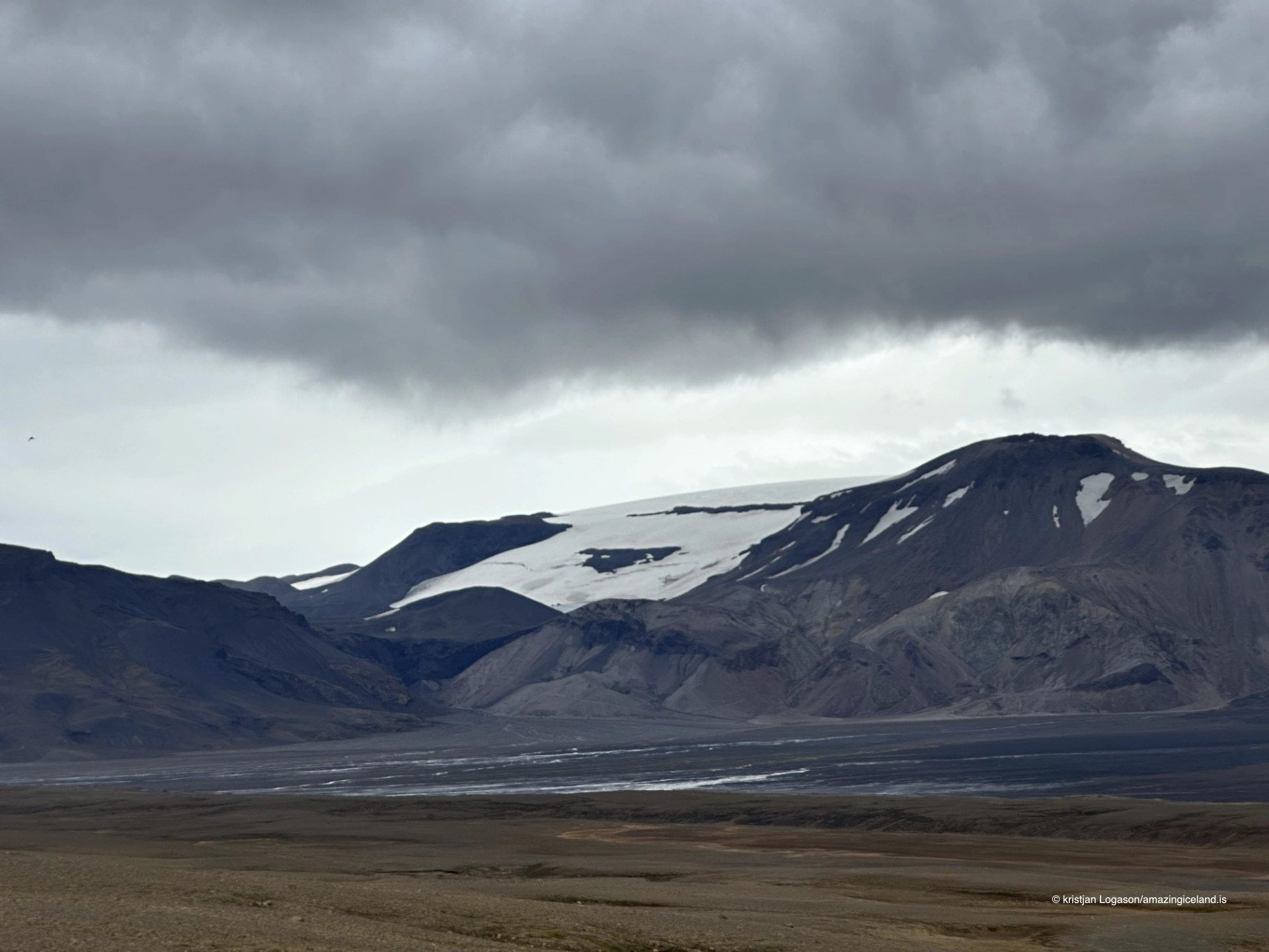
The clearest geographical relationship in Kaldidalur is between Ok on the western side and Þórisjökull on the eastern side. They are not equivalent landmarks. Þórisjökull remains ice-covered, while Ok has lost the glacier once known as Okjökull. The disappearance of Okjökull deserves its own account; here, it is enough to recognise that the western mountain and the eastern ice help define the corridor between them.
Langjökull lies farther east and belongs to the wider view beyond Þórisjökull. It becomes more prominent in parts of the northern highland landscape, but Kaldidalur should not simply be described as a valley between Langjökull and Ok. Doing so overlooks Þórisjökull, the ice-covered mountain immediately associated with the eastern side of the crossing.
Hlöðufell may also be visible in broader views towards the south. It is a useful landmark within the surrounding highlands, although Road 550 does not pass directly beneath it. Weather frequently changes which mountains can be seen. A clear crossing may reveal several layers of terrain and ice; low cloud can remove every distant reference and reduce the valley to road, gravel and the nearest slopes.
These changing views are part of the practical journey as well as its visual character. Mountains help travellers understand their position, but they cannot replace navigation or current road information. In mist or falling snow, the apparent simplicity of the valley can become disorienting.

Kaldadalsvegur and the old highland route
Road 550 follows a corridor used for travel long before motor roads crossed the Highlands. Kaldidalur provided a route between western and southern districts, but an open valley was not necessarily a gentle one. Earlier travellers faced uncertain weather, snow, limited shelter and a journey measured in far more than driving time.
The modern road preserves the direction of passage while changing its physical demands. Kaldadalsvegur was formerly numbered F550, and the old designation continues to appear in books, online descriptions and ordinary conversation. Its present number is 550, without an F-prefix. It is nevertheless a seasonal highland road, not an ordinary all-year gravel route.
Road 550 is officially part of Iceland’s primary-road network, but that administrative category says little about what a driver will encounter on a particular day. Rough gravel, corrugation, loose stones, potholes and weather damage may all affect the journey. A four-wheel-drive vehicle is recommended, particularly because conditions can deteriorate and the northern section includes a steep ascent when travelling from the Húsafell side.
The road number and the rules of a rental agreement are separate matters. Some rental companies restrict two-wheel-drive vehicles on Road 550 even though it is no longer marked as an F-road. Visitors must check the conditions applying to their own vehicle rather than assuming that removal of the F-prefix grants permission.
Beinakerling and travellers across Kaldidalur
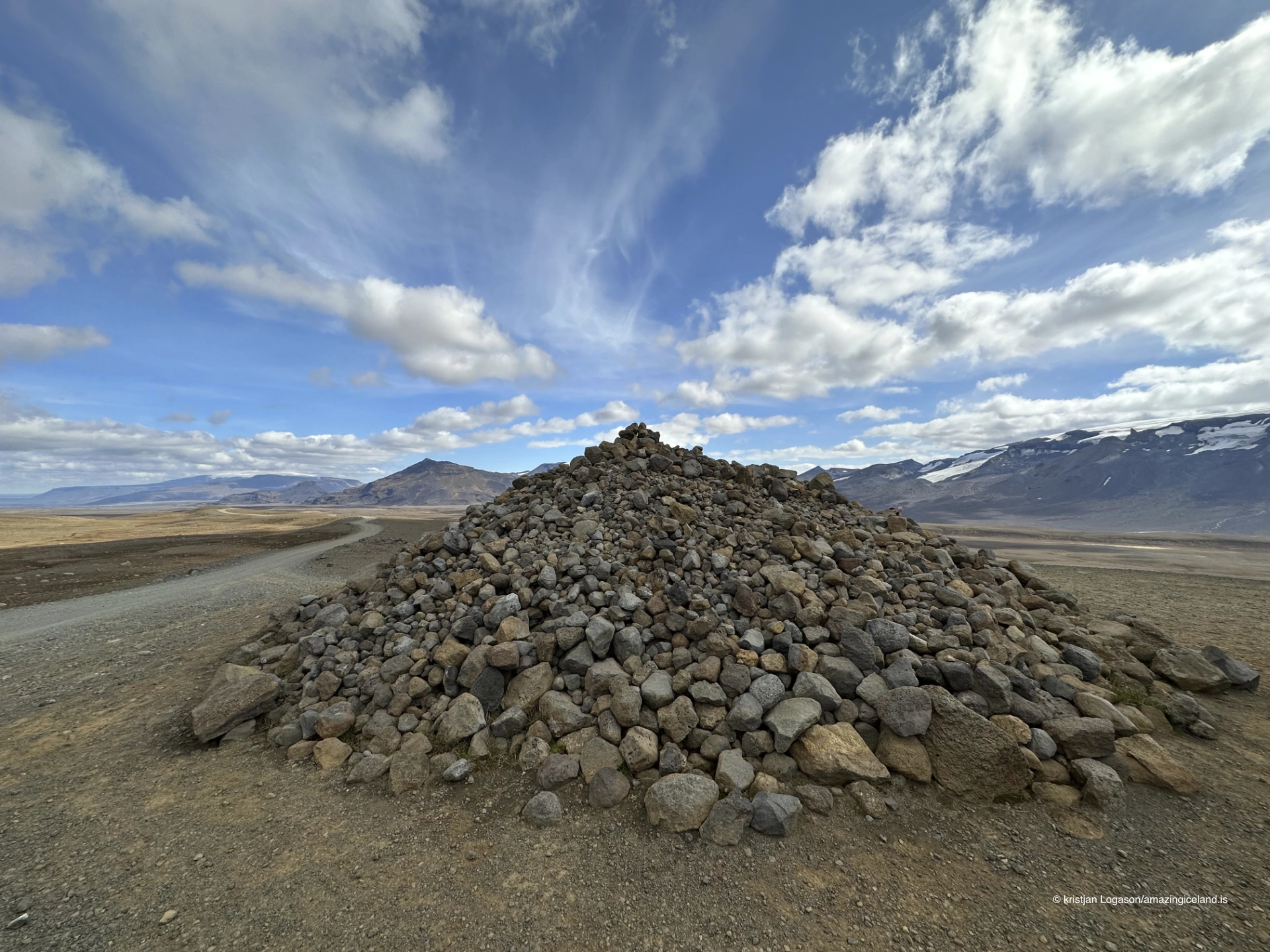
Near the road in the southern part of Kaldidalur stands a cairn known as Kerling or Beinakerling. Most visitors will pass it without recognising its significance. It is not a conspicuous developed attraction, and there is little in the open landscape to explain why this particular cairn matters.
Beinakerling belongs to an Icelandic travel tradition in which verses were left at cairns along old routes. The poems could be humorous, insulting, provocative or sexually suggestive. They offered travellers a form of conversation across time: one person left words behind, and another encountered them later on the same journey.
The cairn gives human scale to a road otherwise described mainly through mountains, glaciers and weather. Kaldidalur was never merely a geological corridor. It was crossed by people who experienced the distance slowly and who marked their passage in ways that were practical, social and irreverent.
Visitors should not expect to identify Beinakerling casually from a moving vehicle. Anyone trying to locate it must stop only where the vehicle can stand entirely clear of the road and should avoid driving over undisturbed ground. The value of the story does not depend on turning the cairn into a formal roadside stop.
Driving Road 550
Kaldadalsvegur runs for approximately 40 kilometres, but itineraries described as Þingvellir–Húsafell are longer because they include connecting roads beyond the highland crossing itself. In the south, Road 550 connects with the Uxahryggir and Reyðarvatn road area north of Þingvellir. In the north, it joins the western highland road network leading towards Húsafell and Kalmannstunga.
There are no unbridged river crossings on Road 550. Streams flowing over the road are not a normal feature that visitors need to plan around. The main challenges are instead the road surface, exposure, changing weather and the steep section on the northern approach from Húsafell.
There is no fixed opening season that can be promised in advance. Snow, thaw, wet ground and damage from winter determine when the road can be opened, and conditions vary from year to year. June may still be too early. October may already bring snow or closure. Drivers must check the current road status and weather forecast immediately before the journey and should never pass a closure or drive onto a road that has not formally opened.
Services should not be expected along the crossing. Travellers need sufficient fuel, suitable clothing, food and the ability to cope with a delay or change of plan. Mobile reception should not be treated as guaranteed. Someone should know the intended route, particularly when traffic is light or the forecast is unsettled.
There is no preferred direction that transforms the experience. Travelling north reveals the gradual connection towards Borgarfjörður and Húsafell; travelling south opens towards the highlands above Þingvellir. The important directional difference is practical: drivers approaching from Húsafell encounter the steep northern section as an ascent.
What to notice along the crossing
Kaldidalur contains few constructed viewpoints. Drivers generally use existing widened sections and pull-offs, and even these are limited. A vehicle must be entirely outside the travelled road before anyone stops to look or photograph. Blind rises, soft road edges and loose ground make improvised parking dangerous and damaging.
The road itself is one of the landscape’s clearest features. It gives scale to the valley, shows changes in elevation and creates a continuous line through otherwise open ground. Ok and Þórisjökull provide the principal orientation, while Langjökull, Hlöðufell and distant ridges enter and disappear as the road and weather change.
Smaller features deserve equal attention. Patches of late snow reveal hollows and sheltered slopes. Gravel surfaces change colour with moisture. Shallow ridges become visible under low side light, and cloud shadows can move across the ground faster than a vehicle travels. In poor visibility, the same spacious landscape becomes compressed and severe.
Kaldidalur should not be rushed merely because it has no famous single attraction. At the same time, it does not invite stopping everywhere. The most responsible way to experience it is to accept that some views must be observed through the windscreen and that a safe existing pull-off matters more than the theoretically perfect foreground.
Interesting facts:
-
- Kaldadalsvegur is Road 550 and was formerly designated F550.
- The recognised highland-road section is approximately 40 kilometres long.
- The main route has no unbridged river crossings.
- Kaldidalur lies most directly between Ok to the west and Þórisjökull to the east.
- The ascent from the Húsafell side includes a steep section that can surprise drivers.
- Beinakerling is associated with the old tradition of travellers leaving verses at cairns.
- There are almost no proper stopping areas along the crossing.
Image Gallery
Photography tips:
-
- Use the road as a line through the landscape, but allow the valley rather than the vehicle track to remain the subject.
- Photograph Ok and Þórisjökull as opposing landmarks when visibility permits; include Langjökull or Hlöðufell only where they genuinely belong in the view.
- Wide compositions suit the openness of Kaldidalur, while a longer lens can compress road, mountain, snowfield and glacier into more abstract layers.
- Low lateral light reveals shallow ridges, gravel texture and glacially shaped ground that can disappear under flatter illumination.
- Cloud, mist and subdued colour belong to Kaldidalur. They need not be removed through excessive contrast or saturation.
- A person or vehicle can communicate scale, but should be included sparingly and only from a safe stopping place.
- Beinakerling can provide a historical detail within the larger landscape, but it is easily missed and should not encourage unsafe roadside stopping.
- Wind can make tripod use difficult. Keep equipment controlled and do not place yourself or a tripod on the travelled road.
- Stop only in an existing pull-off or widened place where the entire vehicle stands clear of traffic. Do not drive onto vegetation or soft ground to reach a composition.
- Never continue solely for a photograph when deteriorating visibility, snow or road conditions make turning back the safer decision.
Destinations nearby