Dynjandi waterfall
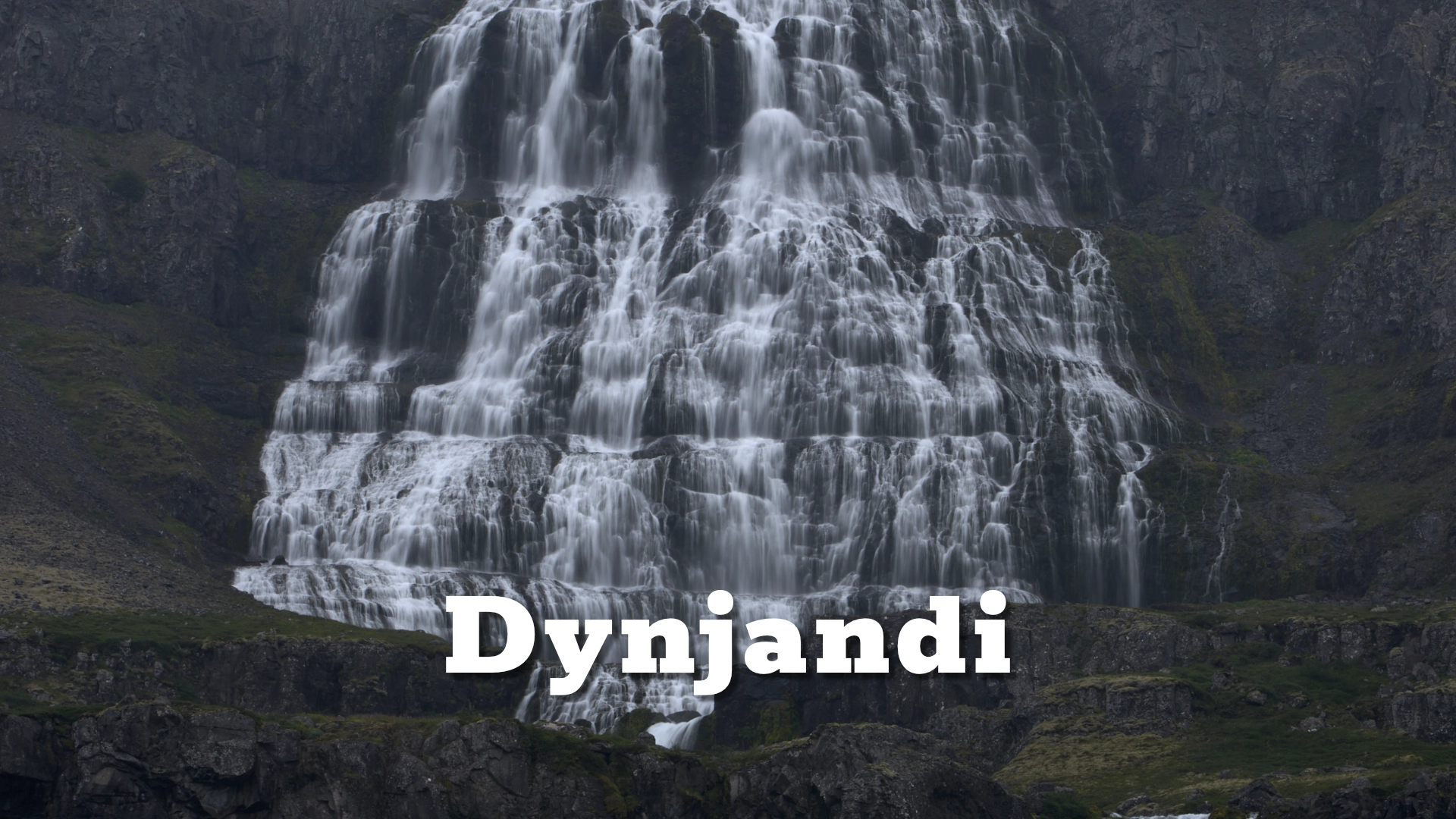
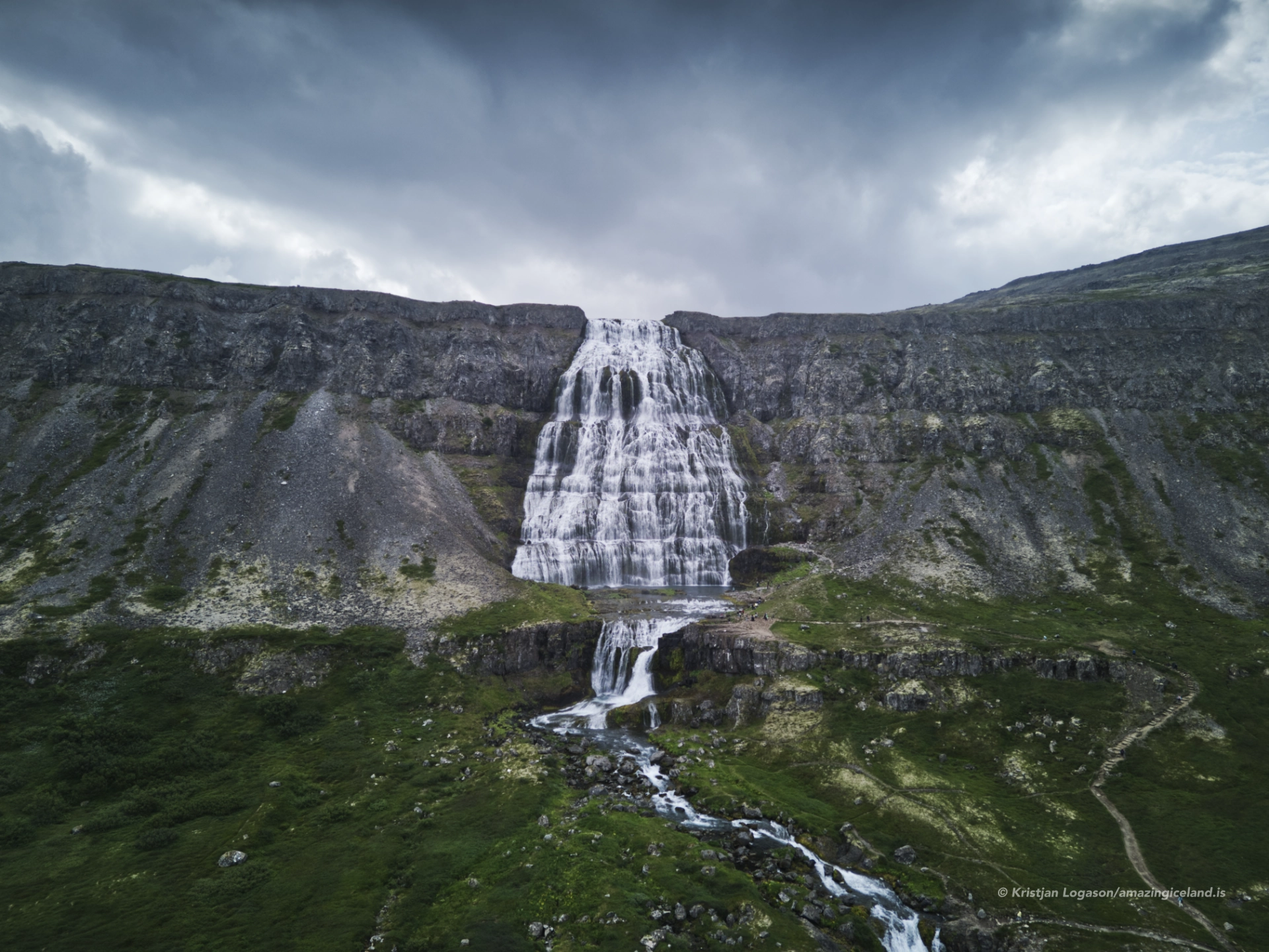
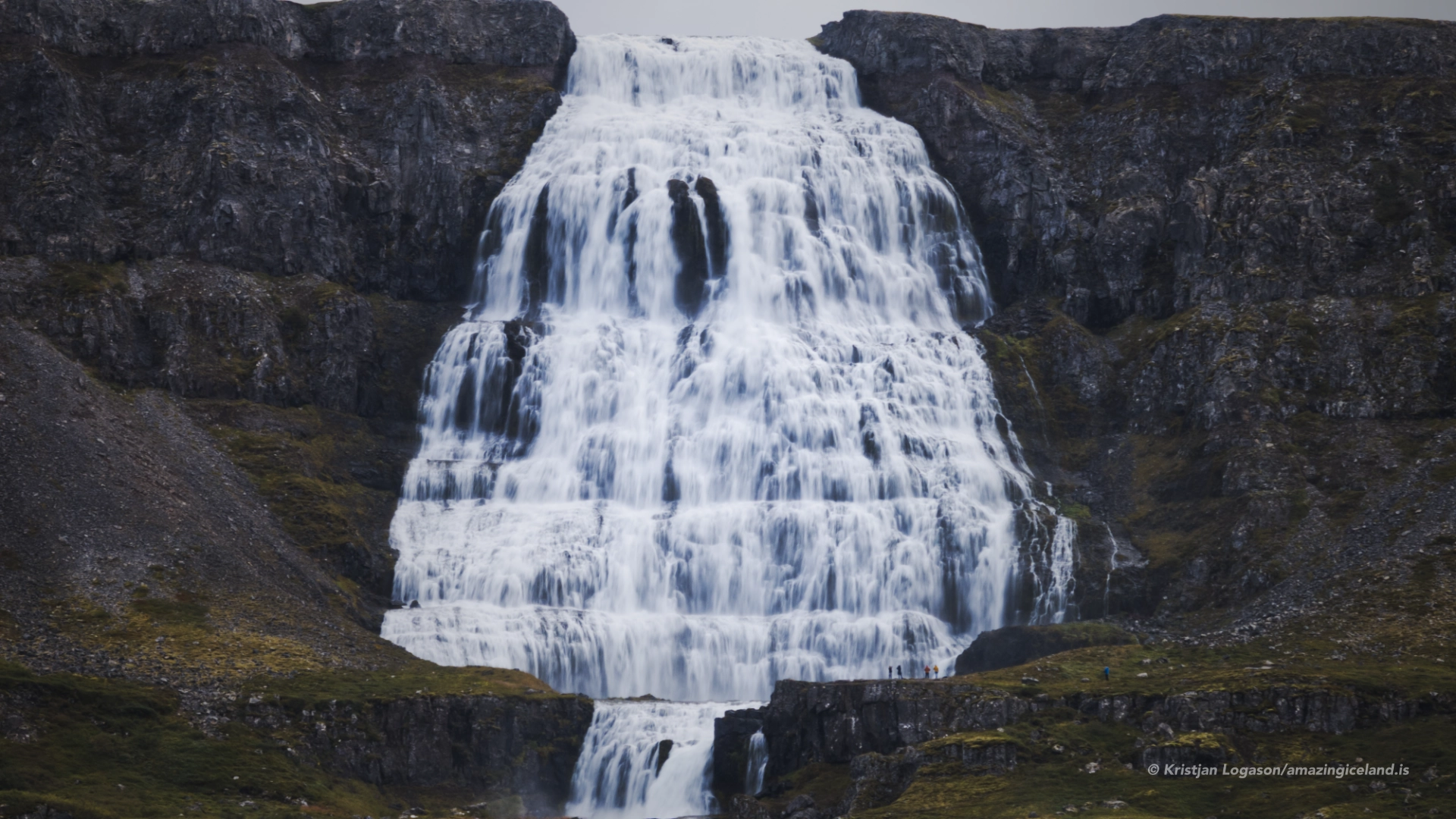
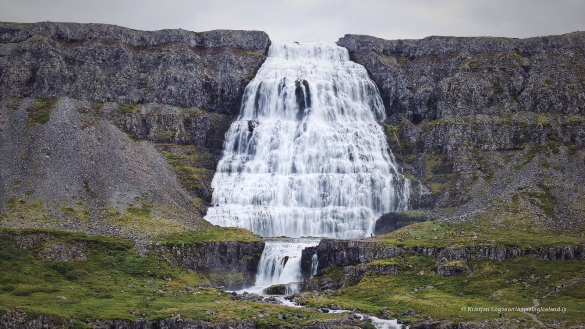
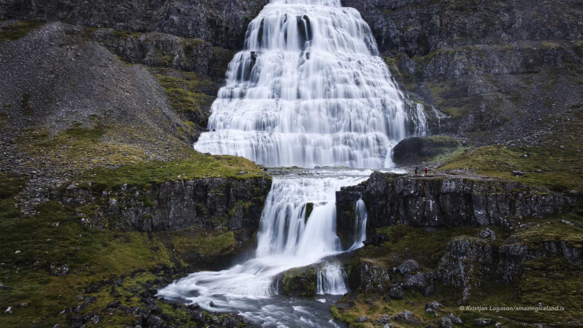
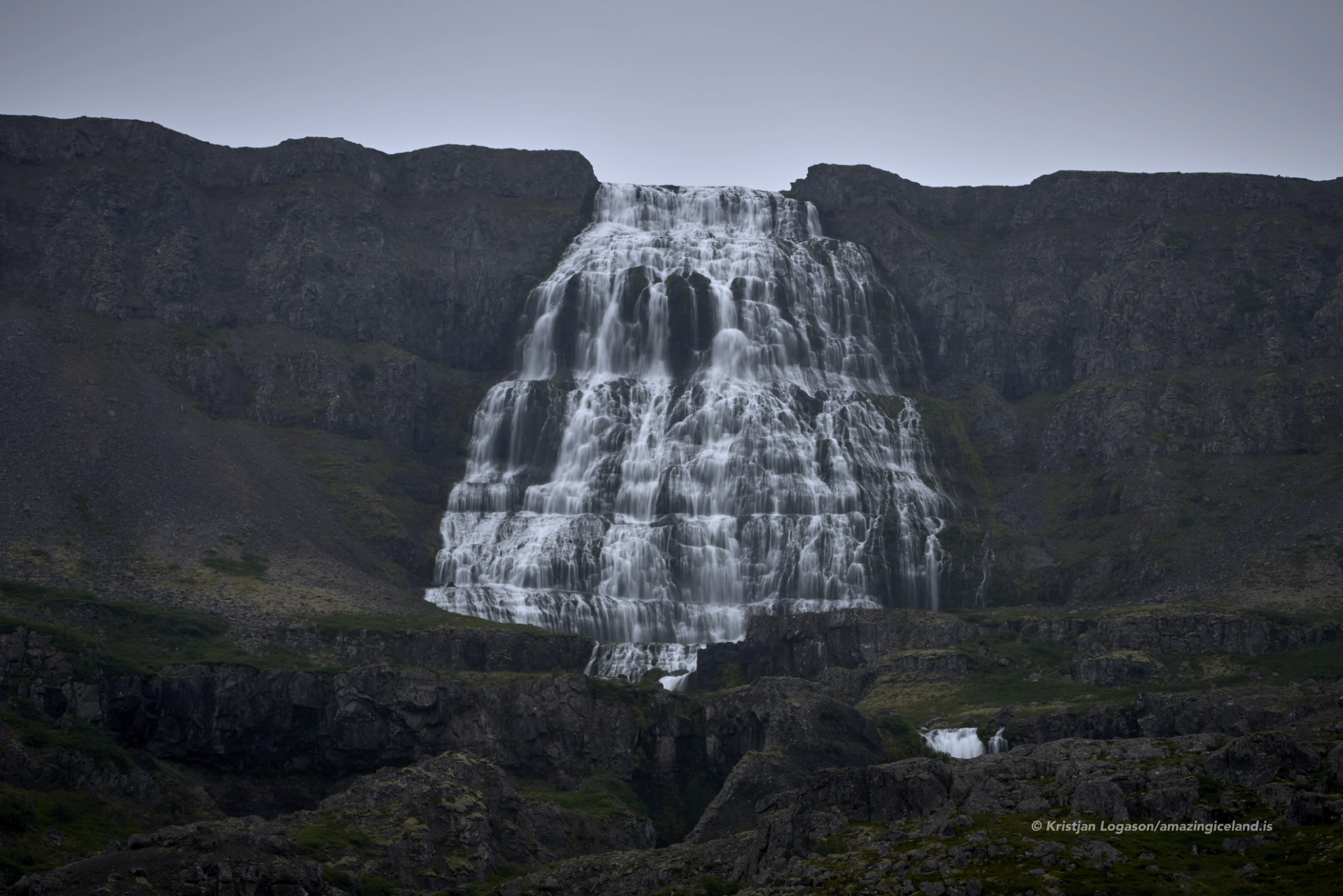
Dynjandi is the dominant waterfall at the head of Dynjandisvogur in Arnarfjörður, where it spreads across the mountainside above a sequence of smaller falls. The main waterfall is 99 metres high and widens from about 30 metres at the top to roughly 60 metres below. From the parking area, however, the first impression is not one of measurements but of the entire waterfall system rising above the shore. The walk then separates that large view into eight individual waterfalls before reaching the base of Dynjandi itself.
The location of Dynjandi waterfall
Latitude
65.7328
Longitude
-23.1994
Dynjandi waterfall
One waterfall becomes eight
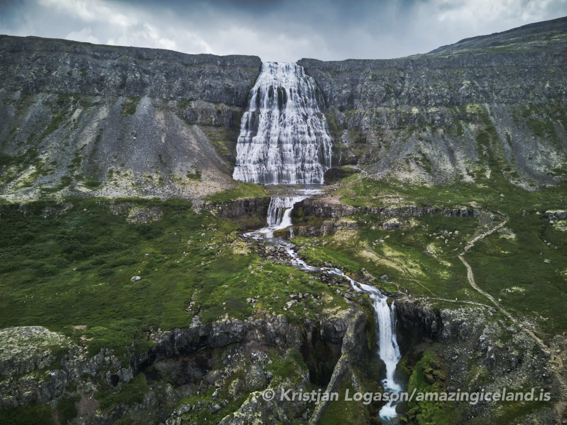
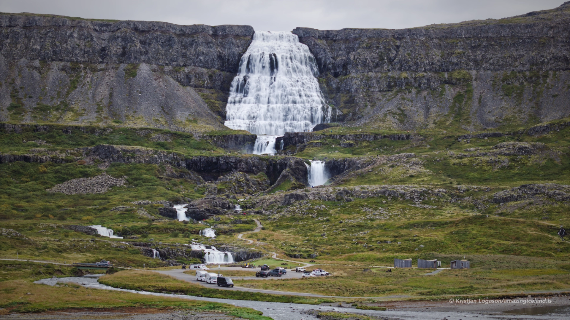
From a distance, Dynjandi appears to be a single great sheet of water descending towards Arnarfjörður. The closer view is more complex. Dynjandi is the uppermost waterfall in a sequence of eight named falls, each occupying a different step in the slope and changing the sound, direction and movement of the water.
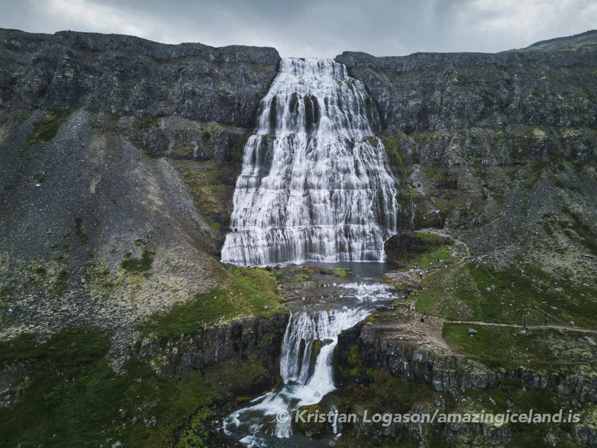
From top to bottom, the waterfalls are Dynjandi, Hæstahjallafoss, also known as Úðafoss, Strompgljúfrafoss, also called Strompur, Göngumannafoss, Hrísvaðsfoss, Kvíslarfoss, Hundafoss and Bæjarfoss, which is also known as Sjóarfoss. Dynjandi remains visible through much of the approach, but the lower falls gradually become distinct subjects rather than details beneath the main cascade. This unfolding sequence is central to the destination: the path is not merely a way of reaching Dynjandi but part of how the place is understood.
The form of Dynjandi
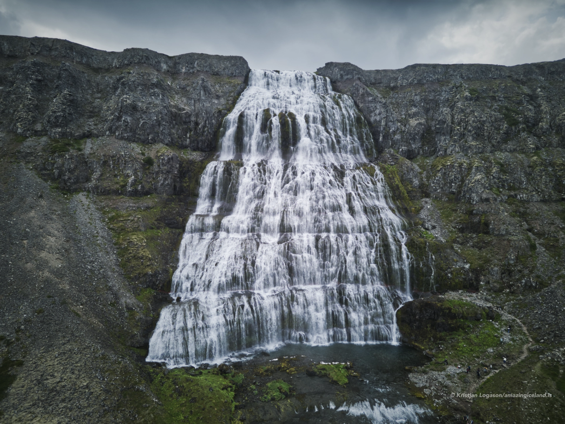
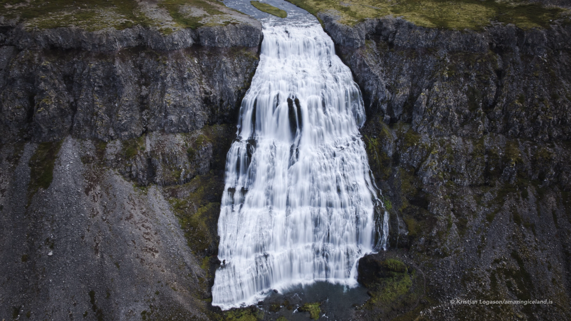
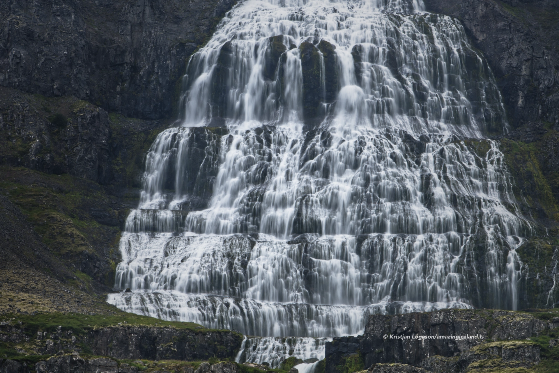
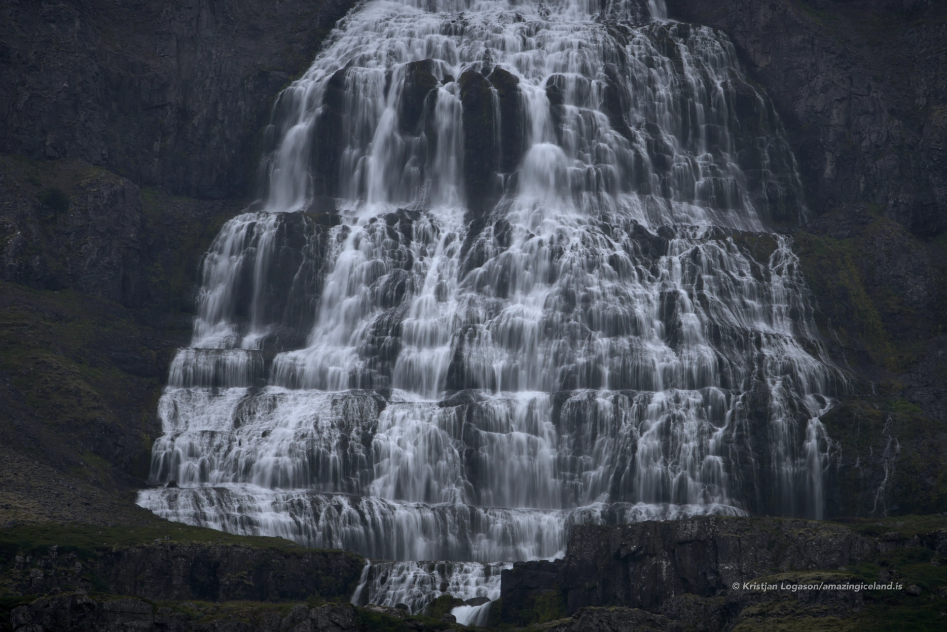
Dynjandi is 99 metres high and spreads from approximately 30 metres across at the top to around 60 metres lower down. Water moves over a succession of hard basalt layers and the softer material between them, producing the broken, stepped surface that gives the waterfall its broad form. The amount of water changes its character considerably. At higher flow, the individual streams merge into a heavier and more continuous fall, while lower flow reveals more of the underlying rock and the many separate paths taken by the water.
The waterfall stands within the old basalt landscape of the Westfjords, above the long water and steep mountain walls of Arnarfjörður. This setting matters to its scale. From the shore, Dynjandi belongs to the wider fjord landscape; from the upper path, the fjord recedes behind the visitor while the waterfall increasingly fills the view.

Walking through the waterfall sequence
The direct walk from the parking area to Dynjandi takes about 15 minutes, but approximately 45 minutes is more realistic for a visit that includes stops at the lower waterfalls. The first part of the route is paved and accessible as far as Hrísvaðsfoss. Above that point, the natural trail becomes moderately steep and rocky in places, and wet conditions can make the surface more demanding.
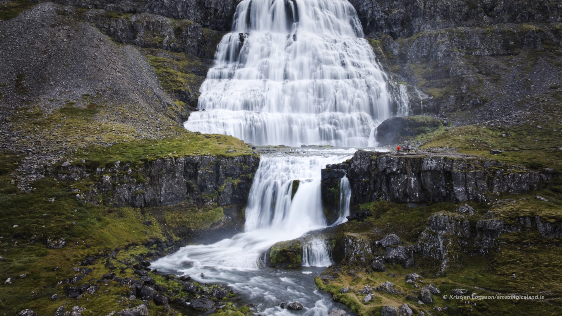
Each stage gives a different relationship to the water. Some of the lower falls can be approached closely, while others are better understood as part of the complete slope. At the top of the route, the scale of Dynjandi becomes much more immediate, but the broad view from below remains one of the strongest ways to see how the whole system fits together.
Protection and visitor facilities
Dynjandi and the surrounding area have been protected as a natural monument since 1981. Visitors should remain on the marked route, both to protect the ground and because the trail provides the intended access past the waterfalls. Drone flights within the protected area are prohibited from 1 May to 15 September unless permission has been granted. This is a seasonal restriction rather than a permanent year-round ban.
The site has toilets, picnic tables and a simple cooking area. There is no rubbish collection, so everything brought to the site must be taken away again. Overnight stays are prohibited within the protected area. These are practical facilities for a stop on a longer Westfjords journey, but Dynjandi should still be approached as a protected landscape rather than a developed visitor attraction.
Reaching Dynjandi
Dynjandi lies beside Route 60 on the route through the western Westfjords. The opening of Dýrafjarðargöng made the journey from Ísafjörður substantially easier by replacing the old road over Hrafnseyrarheiði, although the condition and opening of Route 60 across the remaining mountain sections still determine access. Road conditions should therefore be checked before departure, particularly outside summer.
Winter access is possible when Route 60 is open, but Dynjandi should not be treated as a reliably accessible year-round destination. Weather, snow and temporary road closures can change the situation quickly. In summer, it forms a natural stop between the northern and southern Westfjords, with Hrafnseyri nearby on the shore of Arnarfjörður.
Interesting facts:
-
- Dynjandi is 99 metres high and widens from about 30 metres at the top to approximately 60 metres below.
- It is the uppermost waterfall in a sequence of eight named waterfalls.
- Dynjandi and its surroundings have been protected as a natural monument since 1981.
- The lower part of the route is paved and accessible as far as Hrísvaðsfoss.
Image Gallery
Photography tips:
- The strongest complete view is from near the parking area, where Dynjandi can be photographed together with the lower waterfalls and the surrounding slope.
- Overcast light suits the waterfall well because it controls contrast across the white water and dark basalt. Low sunlight can also work when it reaches the mountainside without creating harsh differences across the scene.
- Use the lower waterfalls as foregrounds or stages leading towards Dynjandi. They can also be treated as separate subjects, particularly where the path allows a close view of the water.
- Water volume changes the appearance considerably. Higher flow gives Dynjandi greater weight, while lower flow exposes more of the stepped rock and the separate streams.
- Wide compositions show the complete system and its relationship to Arnarfjörður. Closer views from the trail are better for the texture and movement of individual falls.
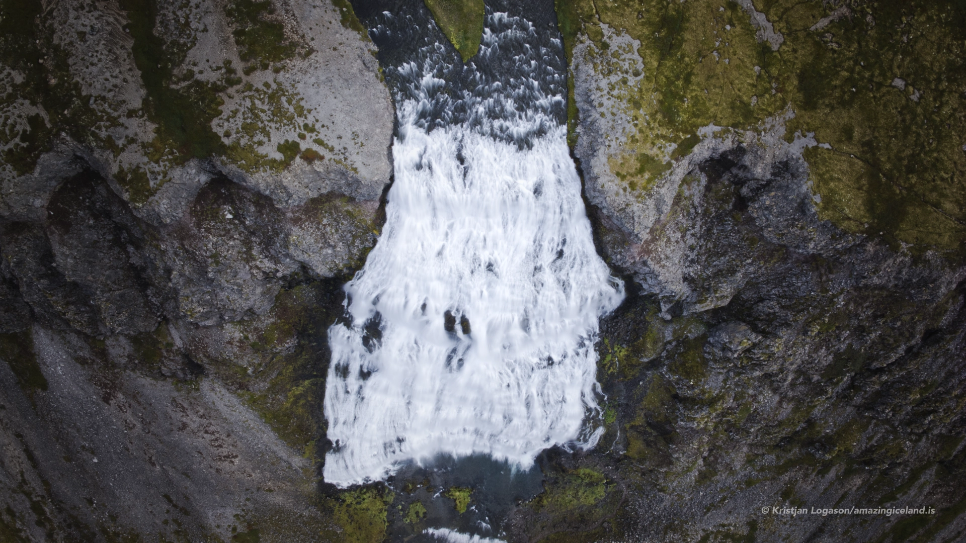
- Drone flights are prohibited within the protected area from 1 May to 15 September unless permission has been granted.
Destinations nearby