Búðir in Snæfellsnes peninsula Iceland
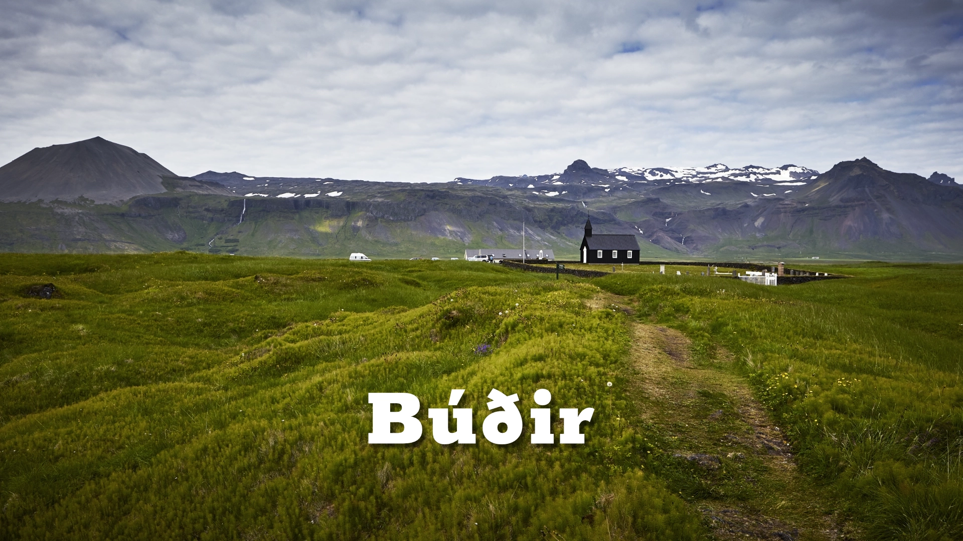
Búðir lies on the south coast of the Snæfellsnes Peninsula, between the mountains and the sea. Today there is relatively little here: Búðakirkja, Hotel Búðir, a few buildings and a broad landscape of lava, grass and coast.
That emptiness is deceptive. Búðir was once a trading and fishing place, and archaeological remains at **Frambúðir** preserve evidence of activity reaching back towards Iceland’s settlement period.
Around it lies **Búðahraun**, a protected lava field with unusually varied vegetation, old travelling routes, caves and the crater **Búðaklettur**. The church has its own story and its own destination page; Búðir is the larger landscape around it.
The location of Búðir in Snæfellsnes peninsula Iceland
Latitude
64.8229
Longitude
-23.3846
Búðir in Snæfellsnes peninsula Iceland
Búðahraun was formed by an eruption from Búðaklettur, a crater rising to approximately 88 metres. The eruption took place roughly 5,000–8,000 years ago, sending lava towards the coast and creating much of the landscape that now surrounds Búðir.
The lava contains olivine, pyroxene and plagioclase. Along the shore, concentrations of olivine contribute to some of the unusually yellow sand found around Búðir, producing a striking contrast with the darker volcanic ground.
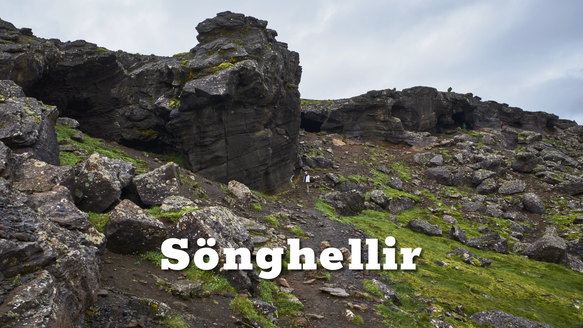
Several caves occur within the lava field, including Búðahellir. Búðaklettur itself is easy to recognise once you know where to look, rising from the otherwise low lava landscape and giving a useful sense of where Búðahraun originated.
Beyond it, Mt Öxl forms another important part of the setting and will be covered separately on Amazing Iceland.
A protected nature reserve
The eastern part of Búðahraun was protected in 1977, and the nature reserve now covers roughly 1,003 hectares. One of the reasons for that protection is the unusually rich vegetation found within the lava.
More than 130 plant species have been recorded in Búðahraun, including 11 of Iceland’s 16 fern species.
That diversity is not always obvious at first glance. From a distance, much of the lava appears to carry the familiar mixture of moss and low vegetation, but closer inspection reveals a much more varied plant community growing in sheltered cracks, hollows and uneven surfaces.
Rock ptarmigan also use the area, and adults with young can sometimes be almost invisible among the moss and low growth.
The protected status matters when exploring the lava. Existing paths offer the best way through the landscape without damaging vegetation that can recover only very slowly once disturbed.

Frambúðir — a place that was once busy
Búðir looks quiet today, but it was not always so. At Búðaós, known in earlier times as Hraunhafnarós, there was an anchorage from an early period.
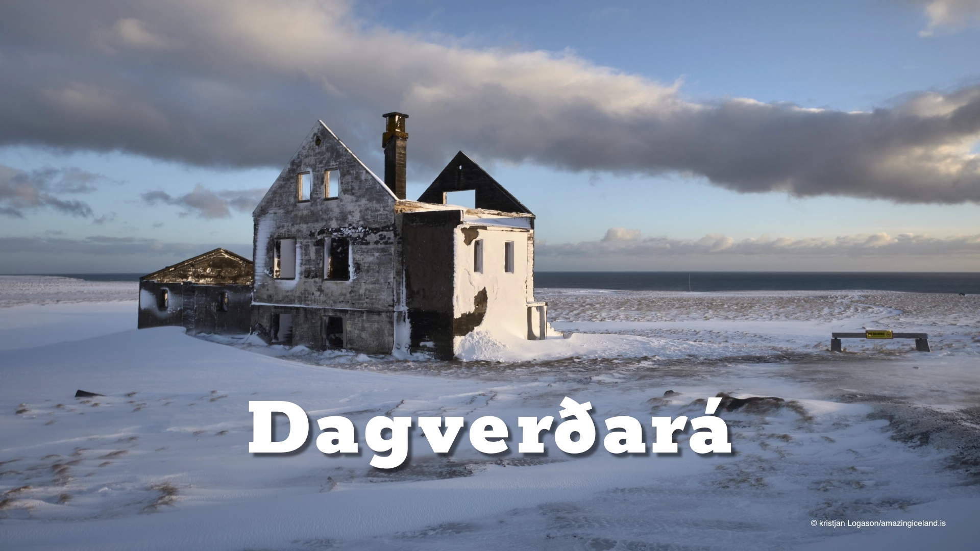
Farther west along the coast lies Frambúðir, where archaeological remains record the activity of a former fishing and trading settlement. During its busiest periods, more than a hundred people could be staying there.
Merchants from Bremen traded at Búðir during the sixteenth century, and substantial ruins remain from the historical settlement. Fishing continued from Búðir for centuries and did not finally end until 1933.
Archaeological remains in the area also include evidence associated with cultivation, showing that the settlement was more than a temporary fishing camp.
The contrast with the modern landscape is considerable. What now appears to be an almost empty coast once held boats, trade, fishing activity and a substantial seasonal population.
Old roads through Búðahraun
Several old routes cross Búðahraun. One of the best known is Klettsgata, an old public road through the lava.
The route passes towards Búðaklettur and near Búðahellir. In places, generations of horses travelling across smooth lava wore visible grooves into the rock.
Another route, Jaðargata, follows the edge of the lava field. There is also a shorter walk from Búðakirkja towards Frambúðir, making it possible to explore part of the historical settlement without committing to one of the longer routes.
These paths belonged to a wider network of travel along the southern side of Snæfellsnes. Routes continued west towards places such as Arnarstapi and Hellnar and onward through the peninsula.
Walking even a short section changes the way Búðahraun is understood. From the road it can look like one continuous lava field, but on foot the old routes, cairns, vegetation and subtle changes in the surface reveal a landscape that people crossed and used for centuries.
Búðavík and Búðir today
The coast at Búðir includes Búðavík and areas of unusually yellow or golden sand. The colour creates a strong contrast with the dark lava, particularly when viewed against Búðaklettur, Mt Öxl and Snæfellsjökull farther inland.
Búðakirkja stands near the coast and is covered separately on Amazing Iceland. Hotel Búðir is also part of the modern landscape here, while Bjarnarfoss rises only a short distance inland and likewise has its own destination page.
For Búðir itself, the interest lies in the relationship between all these elements rather than in any single landmark. Lava, crater, old settlement, historical paths, vegetation and sea all belong to the same landscape.
That is what makes Búðir worth more than a quick stop at the church. The wider area preserves both the geological history of the lava and the human history of the people who lived, travelled and worked across it.
Interesting facts:
- Búðahraun was formed by an eruption from Búðaklettur roughly 5,000–8,000 years ago.
- Búðaklettur rises to approximately 88 metres.
- The eastern part of Búðahraun was protected as a nature reserve in 1977.
- More than 130 plant species have been recorded in the reserve.
- Búðahraun contains 11 of Iceland’s 16 fern species.
- Olivine in the volcanic material contributes to the unusual yellow sand found along parts of the shore.
- Frambúðir was once an important fishing and trading settlement.
- Bremen merchants traded at Búðir during the sixteenth century.
- Fishing from Búðir continued until 1933.
- Old roads through the lava include Klettsgata and Jaðargata.
- Horse traffic has worn visible grooves into parts of the old route across the lava.
Image Gallery


Photography tips:
- Treat Búðir as a landscape rather than a collection of isolated landmarks.
- Use Búðaklettur to give structure to wider compositions across Búðahraun, particularly when combined with Mt Öxl or Snæfellsjökull farther inland.
- The lava changes considerably with season. In summer vegetation softens the surface, while in winter patches of snow reveal the underlying forms and make the darker lava stand out more clearly.
- Use the old paths and cairns as foreground elements. They help introduce the human history of the landscape rather than showing only geology.
- Along the coast, the yellow sand at Búðavík can work strongly against the black lava and darker mountains inland.
- Rock ptarmigan can be difficult to see because they are extremely well camouflaged, especially females and young birds among moss and low vegetation. Use a longer lens and allow the birds to remain undisturbed.
- Changing weather often works better than completely clear skies. Snæfellsjökull, Öxl, Búðaklettur, lava and coast create several layers that appear and disappear as cloud moves across the peninsula.
- Wider focal lengths are useful for showing the relationship between the different landscape elements, while longer lenses can simplify the layers and compress the mountain, lava and coast.
Destinations nearby