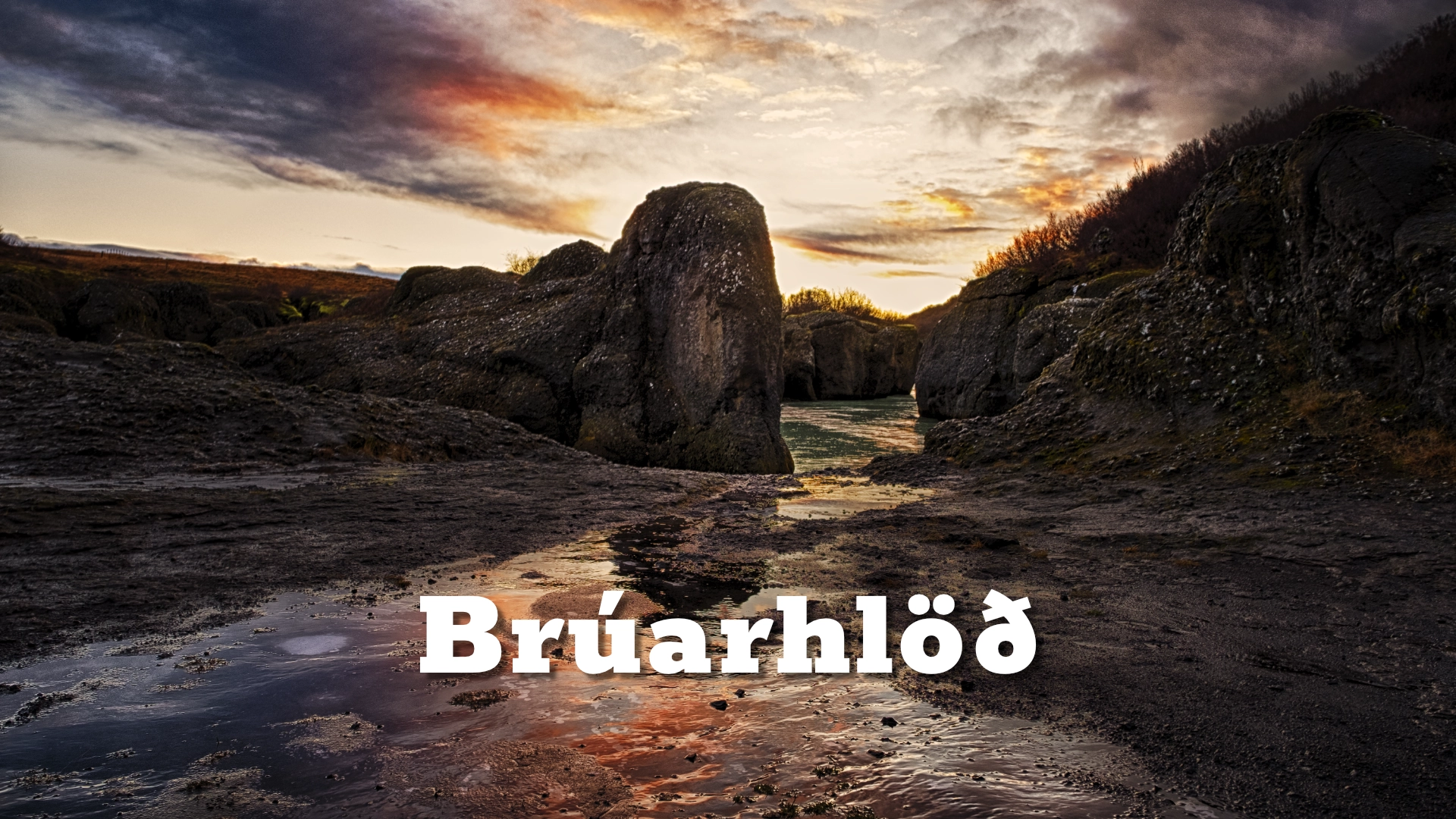
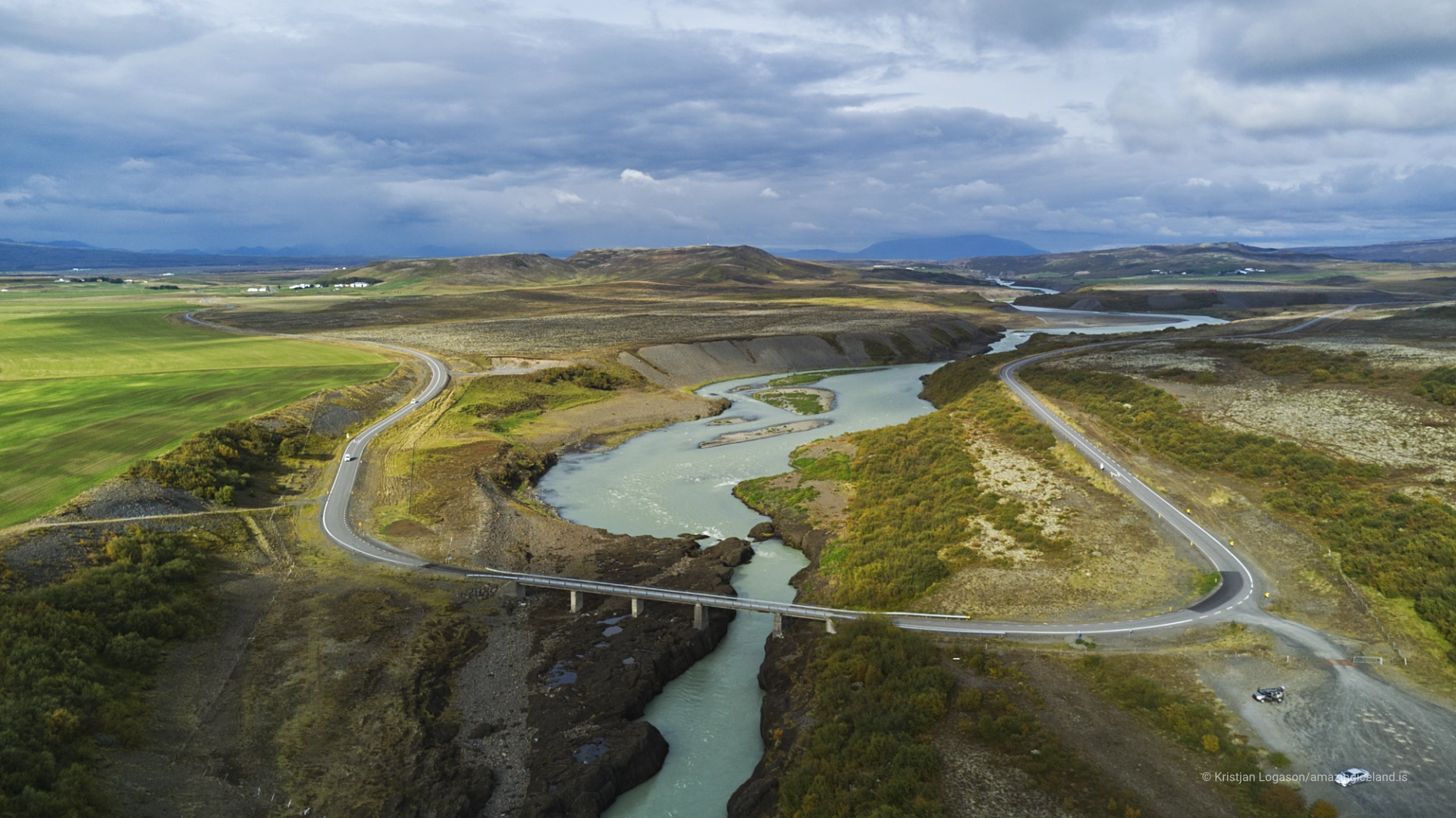
In Southwest Iceland, along the course of the Hvítá, Brúarhlöð presents one of the region’s most physically direct landscapes. Unlike broad valleys shaped by gradual erosion, Brúarhlöð is the product of extreme, short-lived events—jökulhlaups released from beneath Langjökull.
The location of Brúarhlöð canyon
Latitude
64.2589
Longitude
-20.5150
Brúarhlöð canyon
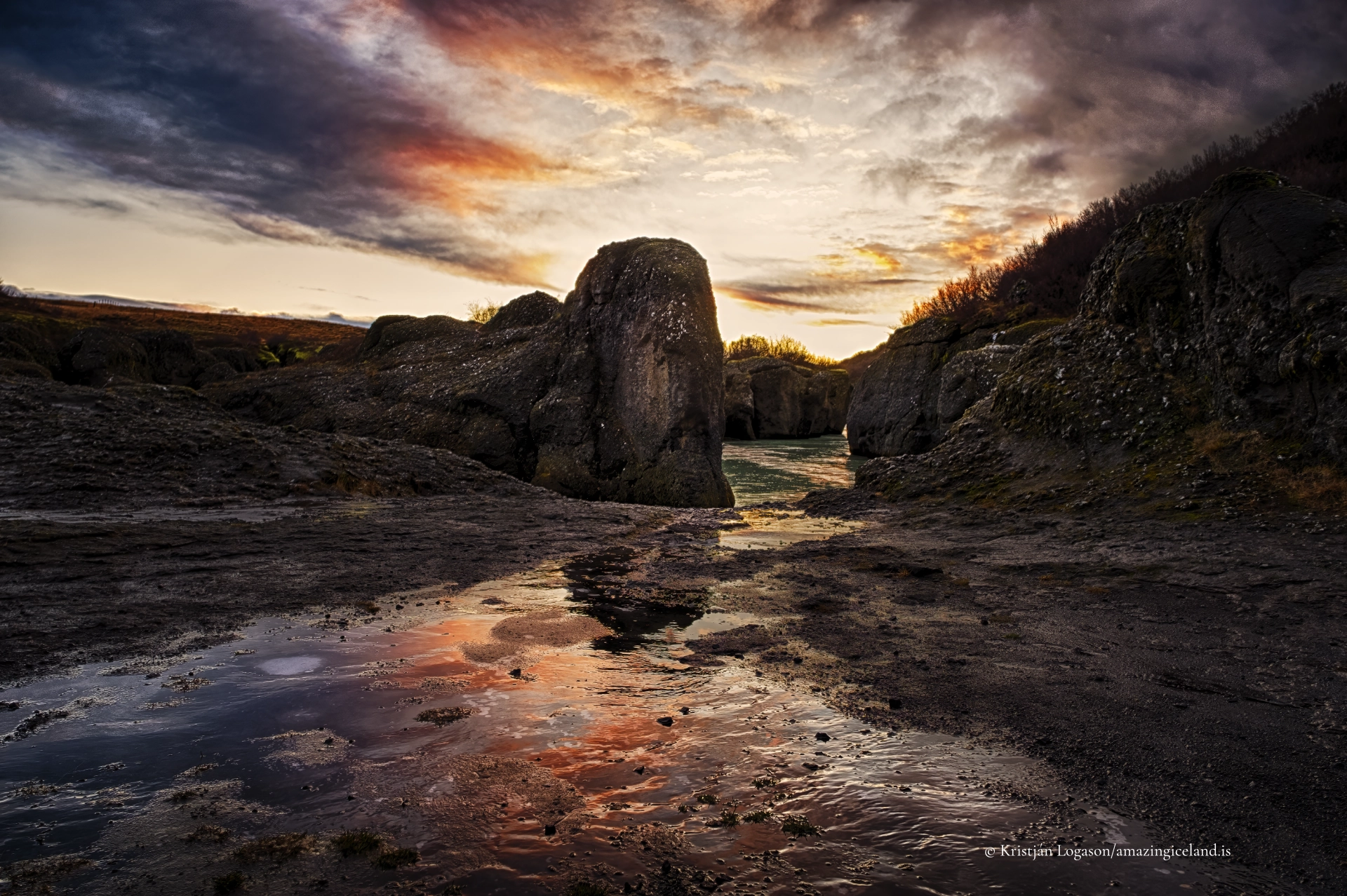
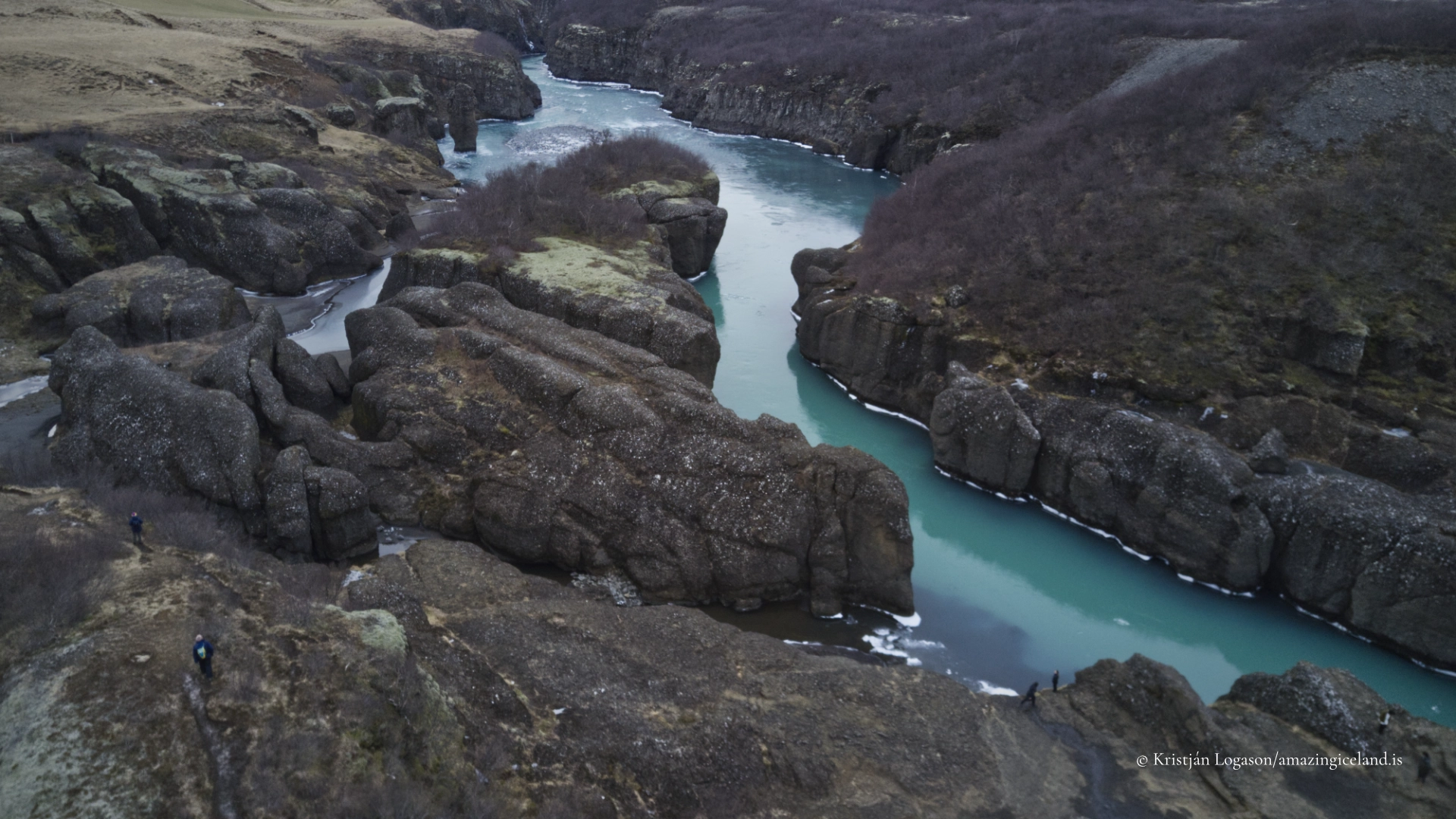
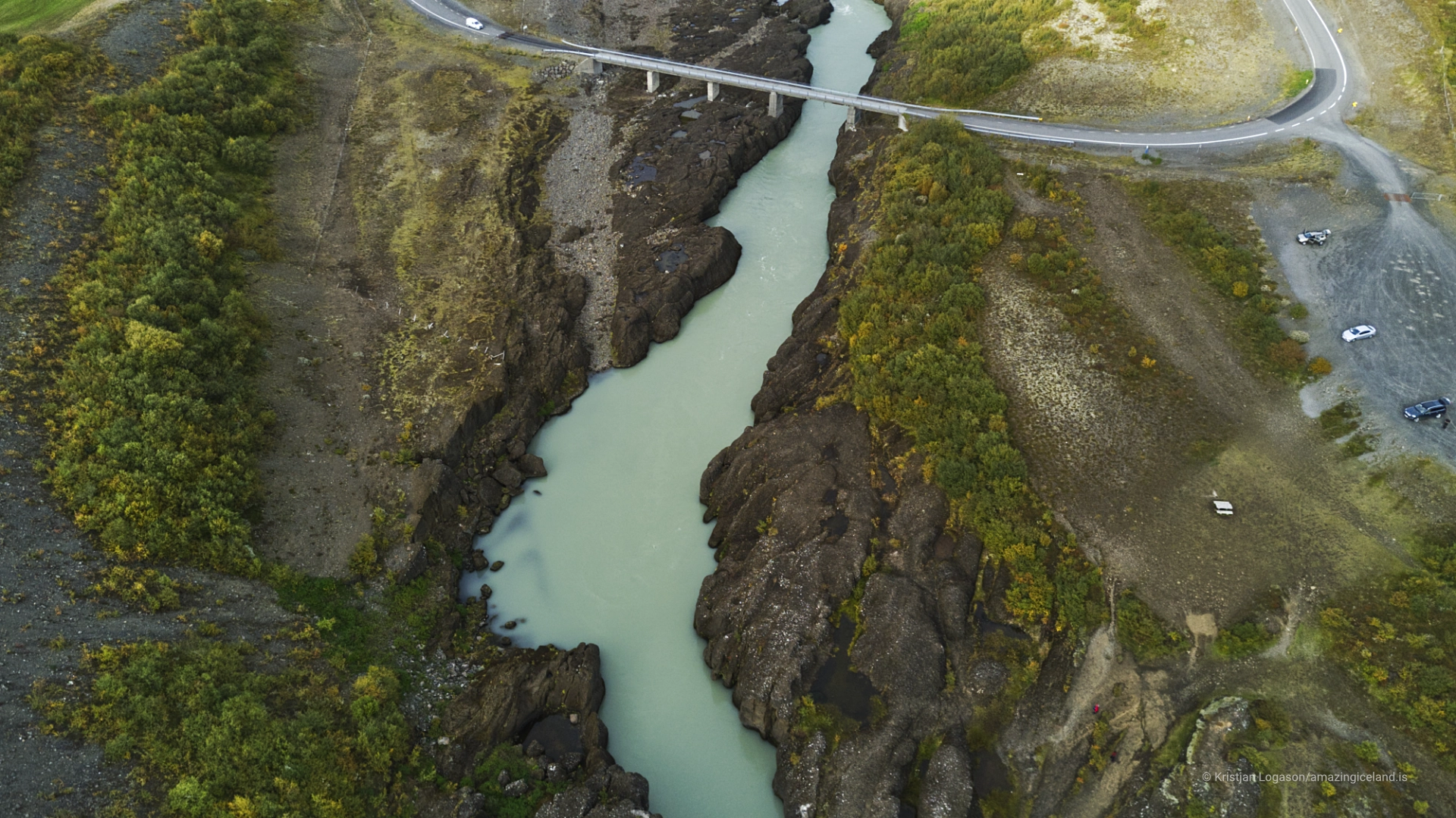
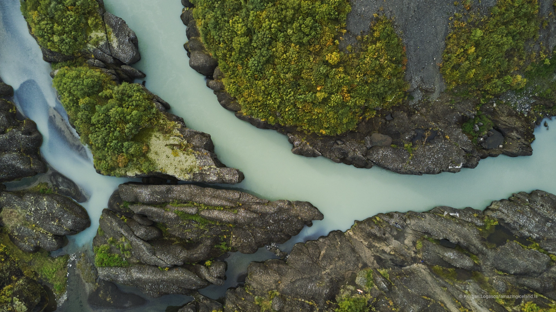
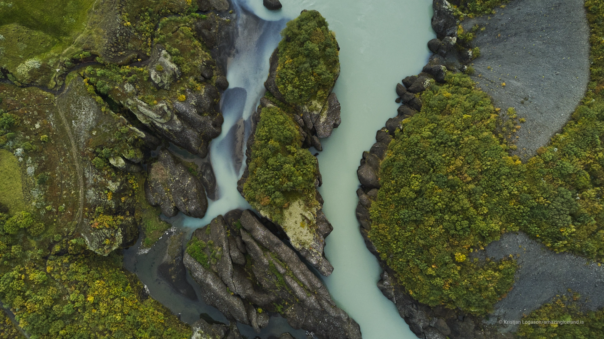
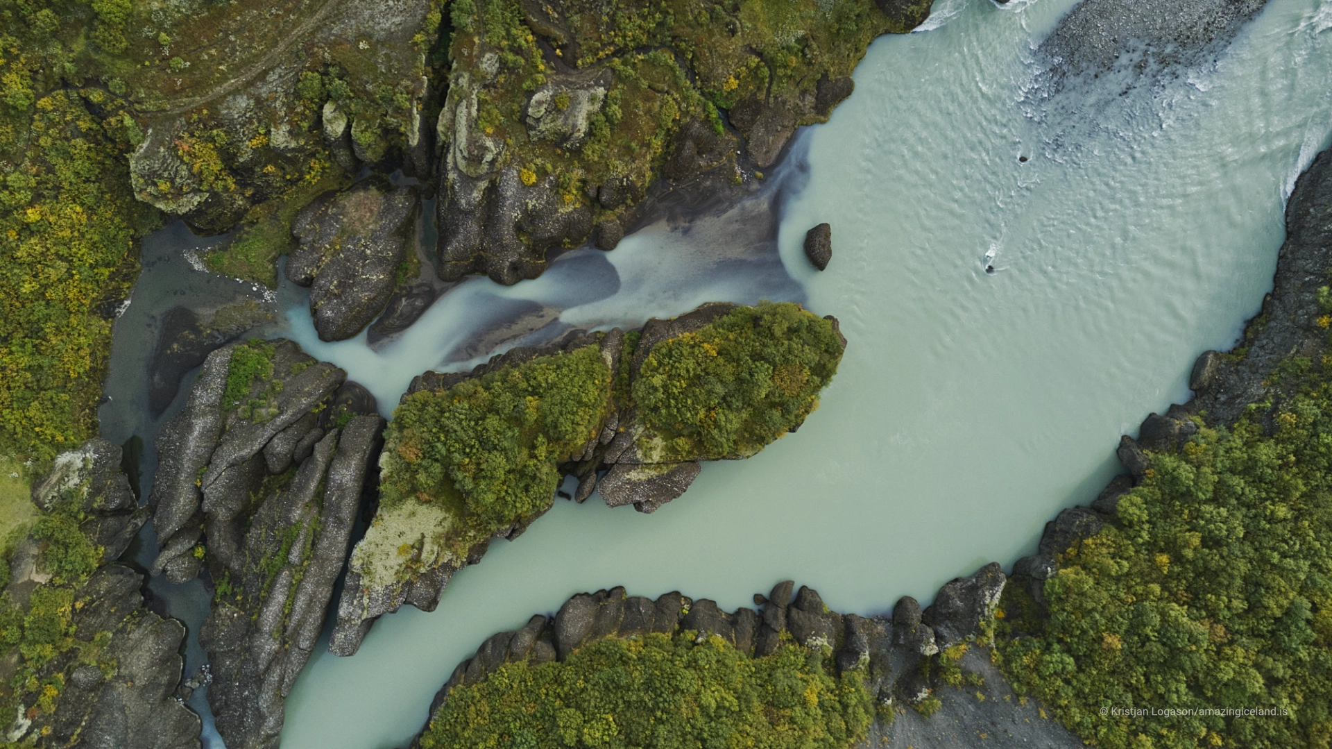
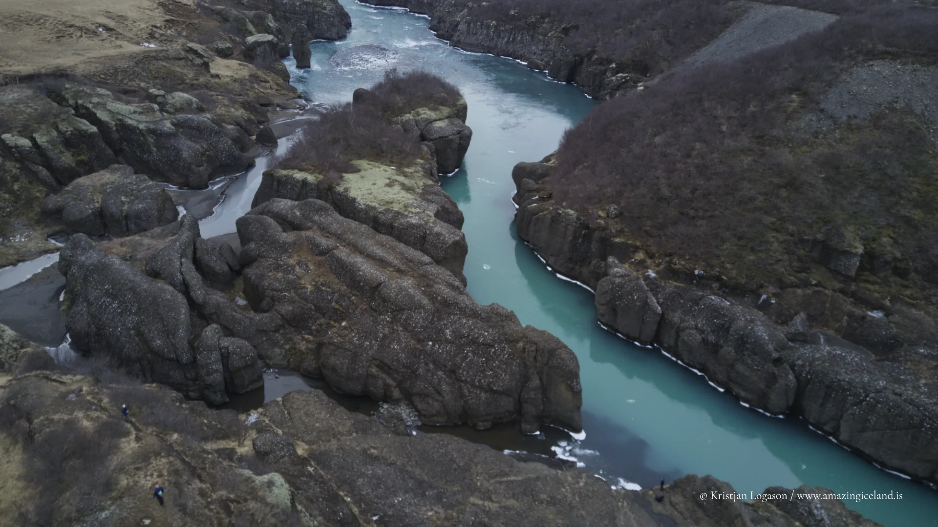
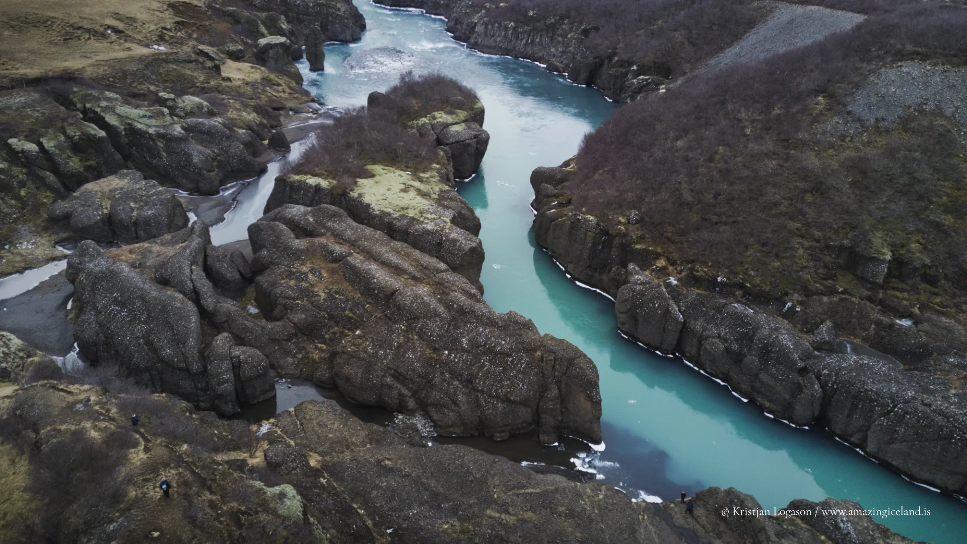
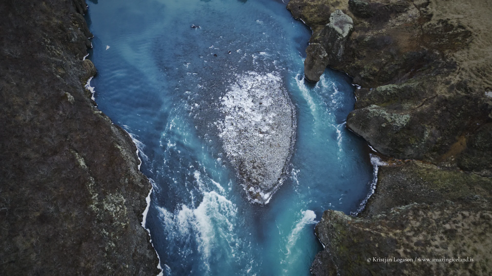
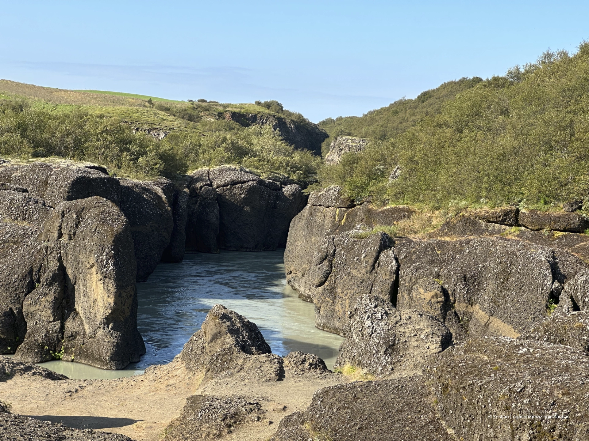
Brúarhlöð is a basalt canyon incised into the riverbed of Hvítá, a major glacial river draining Langjökull. The gorge is relatively short in length but visually concentrated, with steep, near-vertical walls and a constricted channel that amplifies the river’s movement.
Geologically, the canyon was formed primarily by catastrophic meltwater floods, rather than continuous fluvial erosion. During periods of rapid glacial melting or subglacial drainage events, enormous volumes of water were released suddenly, carrying sediment and ice capable of scouring solid basalt. These events cut downward and laterally with exceptional efficiency.
From a geomorphological perspective, Brúarhlöð is a textbook example of jökulhlaup erosion—where scale of force overrides duration.
The basalt walls of Brúarhlöð display sharp edges, columnar fractures, and undercut sections that reflect both the rock’s volcanic origin and the violence of its modification. Unlike smoother canyons shaped over long periods, surfaces here remain angular and abrupt.
The river’s present flow, while substantial, is modest compared to the forces that created the canyon. This contrast is central to understanding the site: what is visible today is the remnant of far greater hydraulic events.
Brúarhlöð therefore functions as geological evidence rather than spectacle. Its form records past conditions that no longer occur at the same scale, linking the present river to the glacier’s more volatile history.
The canyon lies within the broader Biskupstungur / Golden Circle region, but remains less mediated than nearby landmarks. There are no constructed walkways within the gorge itself, and access is limited to viewpoints and informal paths near the rim.
This lack of development preserves the canyon’s legibility. The viewer is not guided through interpretation; instead, the landform must be read directly—through scale, sound, and proximity to moving water.
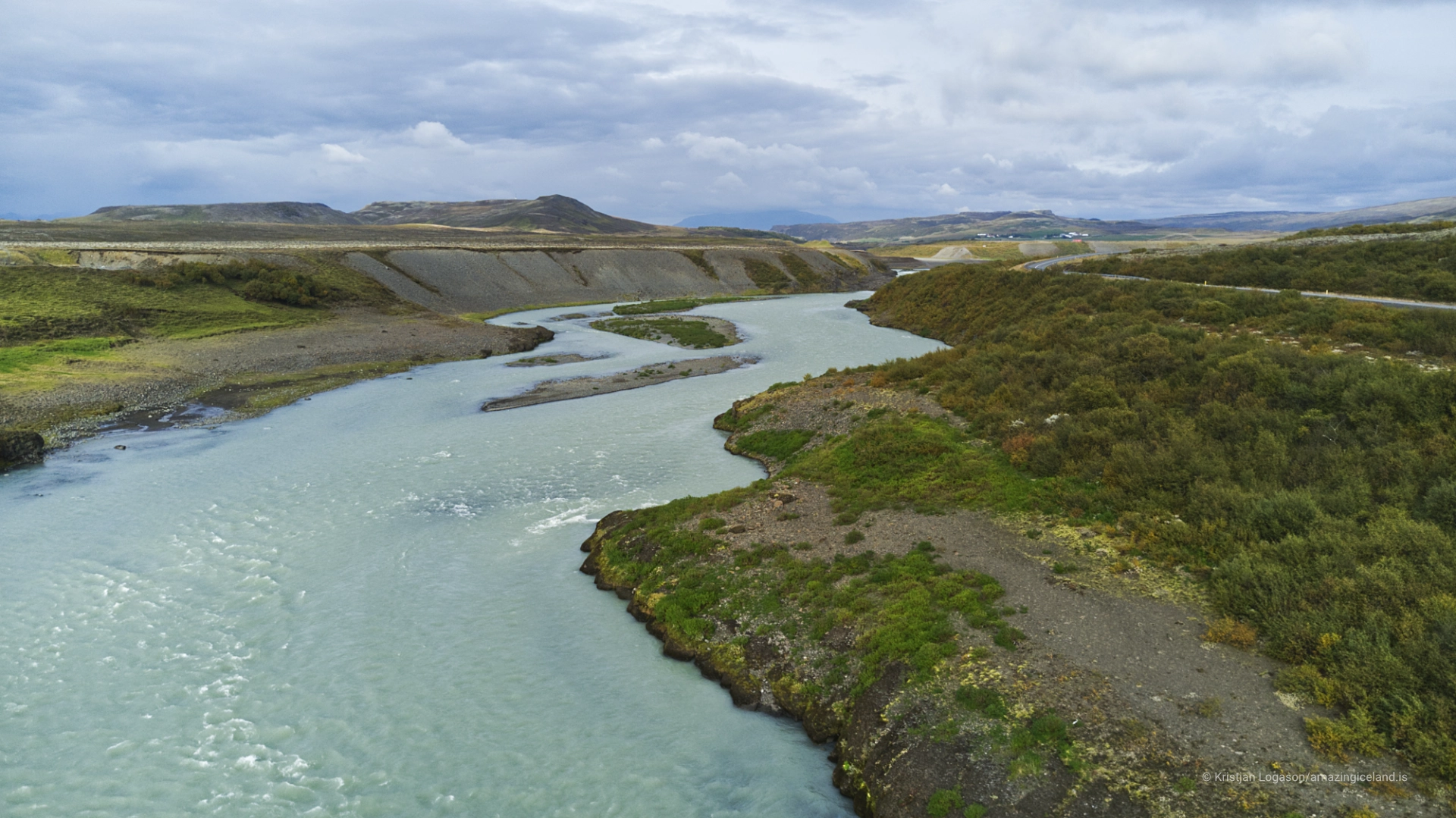
Hydrologically, Hvítá remains tightly linked to Langjökull. Seasonal melt, precipitation, and long-term glacial retreat continue to influence discharge, sediment load, and river behavior. While future jökulhlaups of the same magnitude are unlikely under current conditions, the river remains dynamic.
This ongoing connection reinforces Brúarhlöð’s role as a transition point between highland ice systems and lowland river networks. What happens far upstream remains inscribed here in stone.
The canyon also illustrates a broader Icelandic pattern: landscapes shaped not only by frequent processes, but by rare extremes.
Brúarhlöð ultimately demonstrates how Icelandic landforms often emerge from imbalance—moments when normal systems fail and release stored energy. The canyon is not expansive, scenic, or inviting in a conventional sense. Its value lies in compression: of force, space, and evidence.
Interesting facts:
- Brúarhlöð was carved by jökulhlaups from Langjökull.
- The canyon is cut into basalt bedrock.
- Formation was driven by short-lived extreme floods, not gradual erosion.
- It lies along the Hvítá river system.
- The site is minimally developed, preserving geological clarity.
Image Gallery

The Locomotive Elite
What do Donald Trump and Iceland’s Locomotive Elite have in common?
Far more than you think.
In The Locomotive Elite, you’ll uncover how a tiny clique in Iceland captured extensive control—of banks, courts, media, and even the central bank.
For decades they ruled, first democratically, then through corruption and in the end through crime, enriching themselves and their cronies while dismantling oversight.
The result?
One of the most spectacular financial collapses in modern history.
Photography tips:
- Work close to the rim: Vertical drop conveys scale better than wide context alone.
- Use shutter speed intentionally: Blur water to contrast with static rock.
- Avoid over-saturation: Basalt and glacial water read best neutrally.
- Include fractures: Rock texture explains formation more than overall view.
- Sound-aware shooting: Wind and water spray affect stability—plan accordingly.
Good cameras for Iceland
Sony A7R V

Sony A7s lll

Canon R6

Nikon Z6 lll

Destinations nearby


Good to have in Iceland


