Akureyri – The Capital of North Iceland
Akureyri is small enough to explore on foot, yet large enough to possess a character quite different from Iceland’s smaller towns. It is the principal centre of North Iceland: a place of culture, education, trade and everyday urban life, set between the mountains and the sea at the head of Eyjafjörður.
The town does not need to pretend to be a city. Its confidence comes from the role it has long played for the communities of the north. Akureyri has its own theatre and university, a remarkably varied collection of museums, a busy cultural centre, established winter traditions and one of Iceland’s best-known skiing areas. At the same time, the harbour, older houses, public gardens and surrounding mountains keep it firmly connected to the landscape in which it developed.
The location of Akureyri – The Capital of North Iceland
Latitude
65.6835
Longitude
-18.0878
Akureyri – The Capital of North Iceland
A Town Sheltered by Mountains
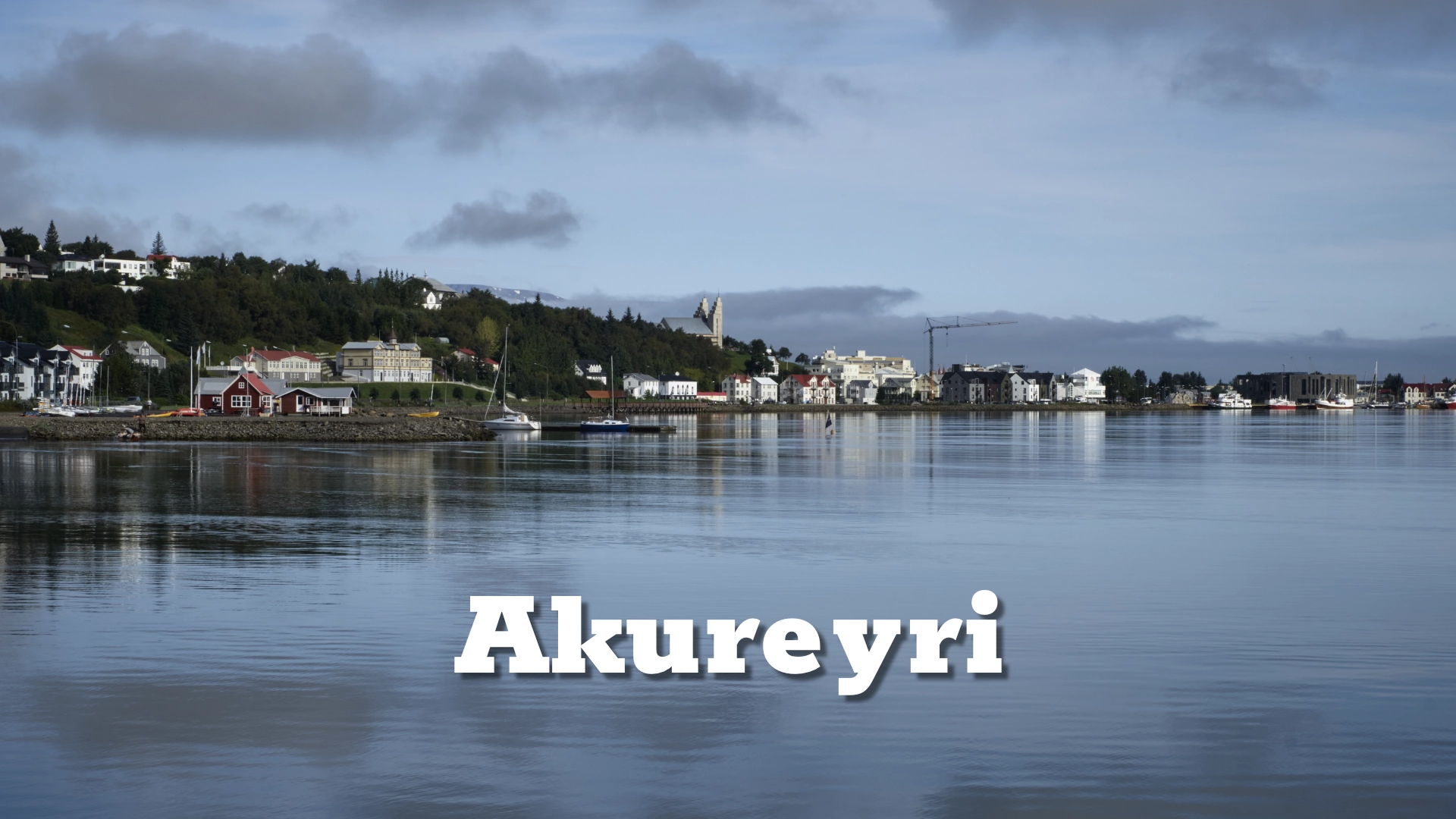
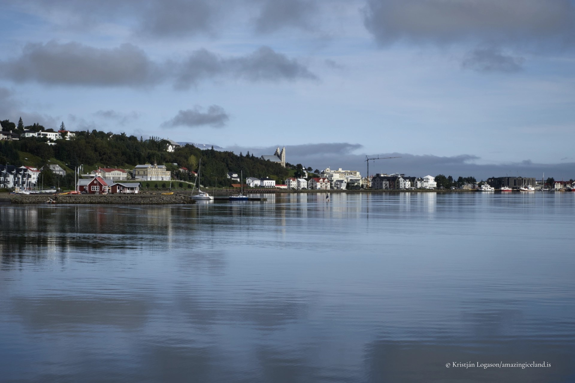
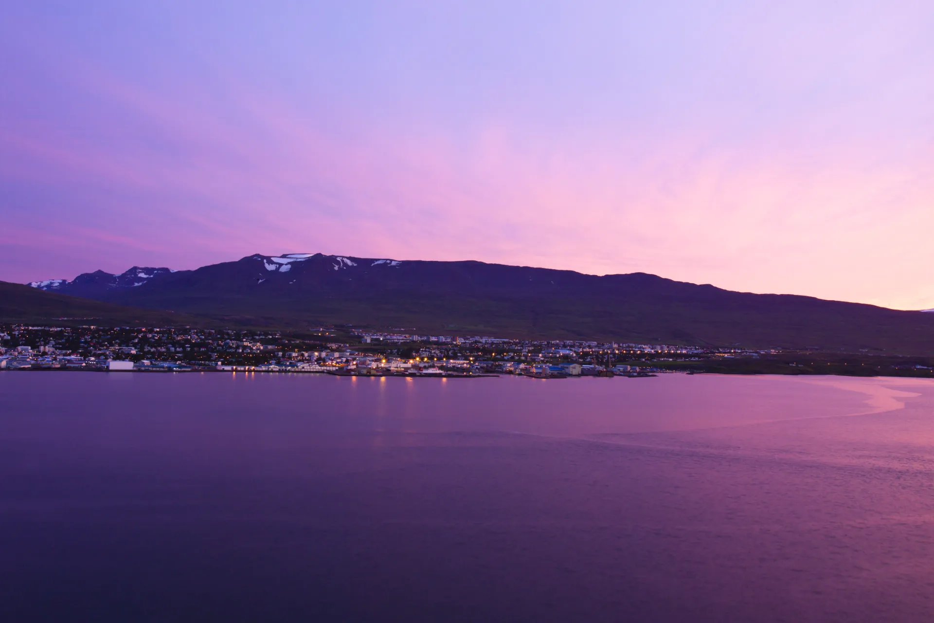
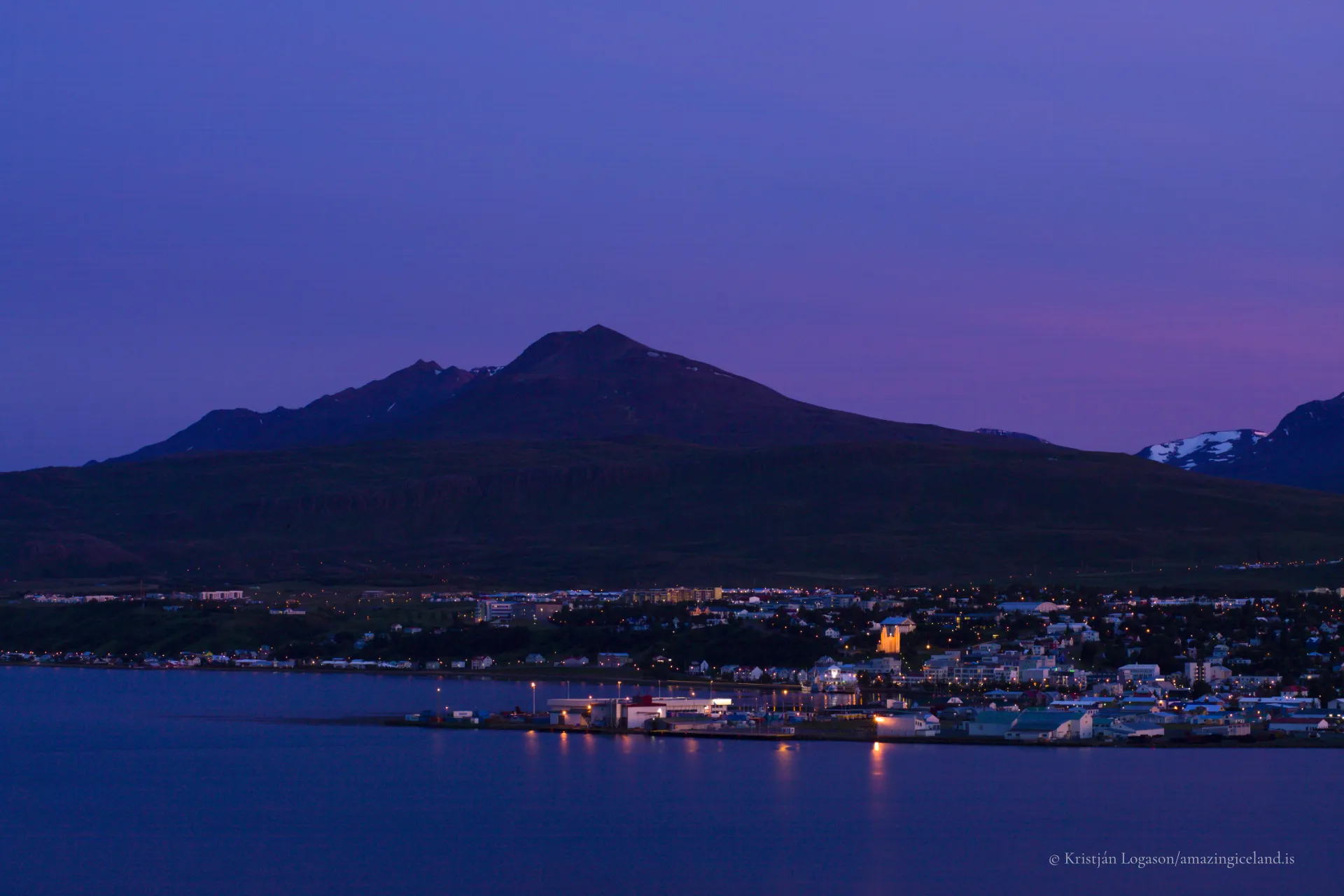
Akureyri stands on the western shore of Eyjafjörður, one of Iceland’s longest fjords. The sea stretches north towards the open ocean, while high mountains rise on both sides and close around the head of the fjord.
These mountains are fundamental to the town’s character. They shelter Akureyri from much of the wet weather arriving from the south and west, contributing to a climate that is relatively dry by Icelandic standards. Summer days can be surprisingly warm, while winter brings snow, short daylight and a much stronger seasonal identity than in many coastal towns farther south.
The steep slopes also shape the town physically. Akureyri rises quickly from the harbour and lower centre into residential neighbourhoods overlooking the fjord. The result is a town where the relationship between streets, sea and mountains is almost always visible.
From Trading Place to Northern Centre
Akureyri developed as a trading place at the head of Eyjafjörður, where the sheltered harbour provided a natural point of exchange for the surrounding agricultural districts. What began as a small settlement gradually became the commercial and administrative centre of North Iceland.
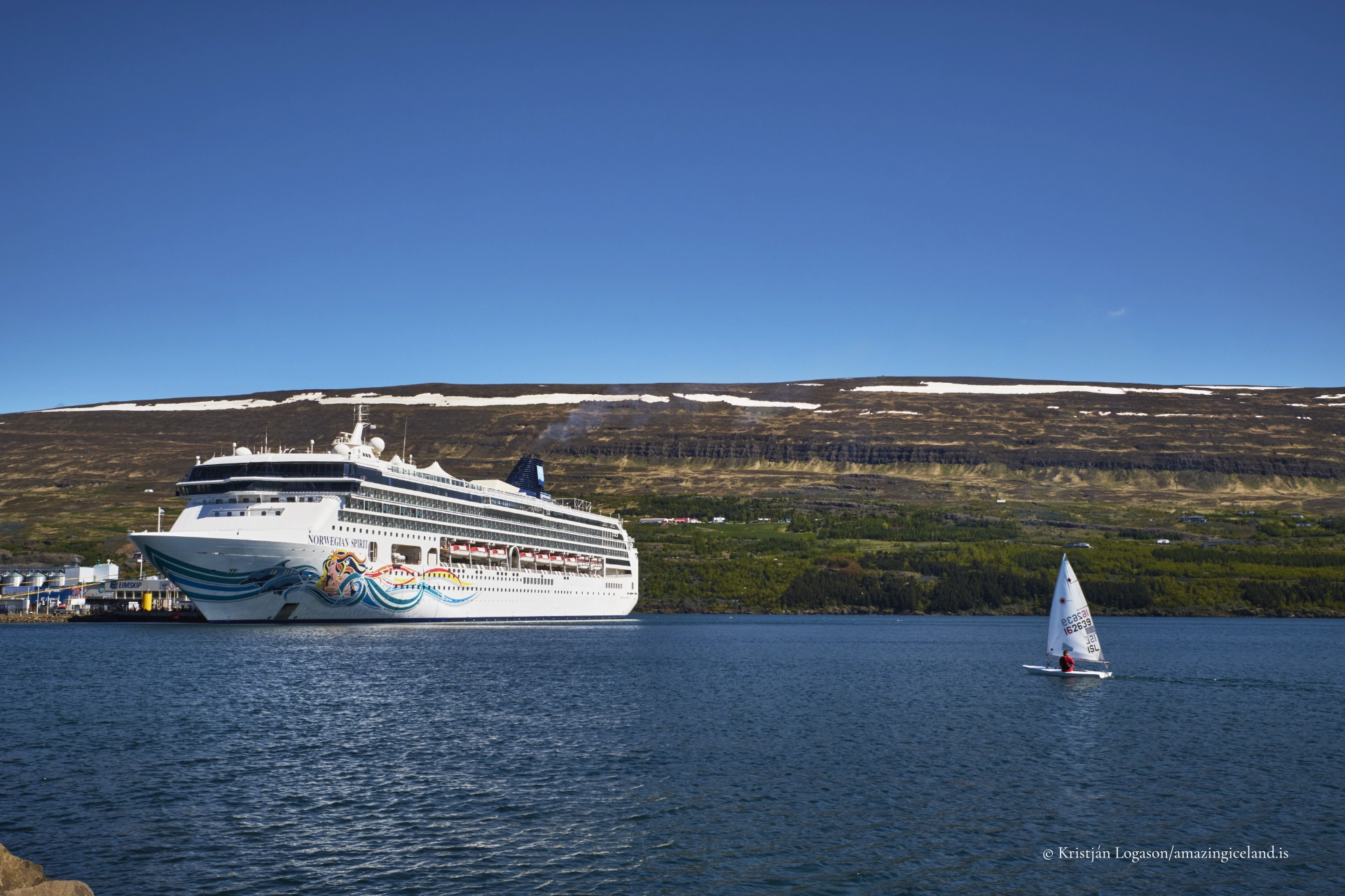
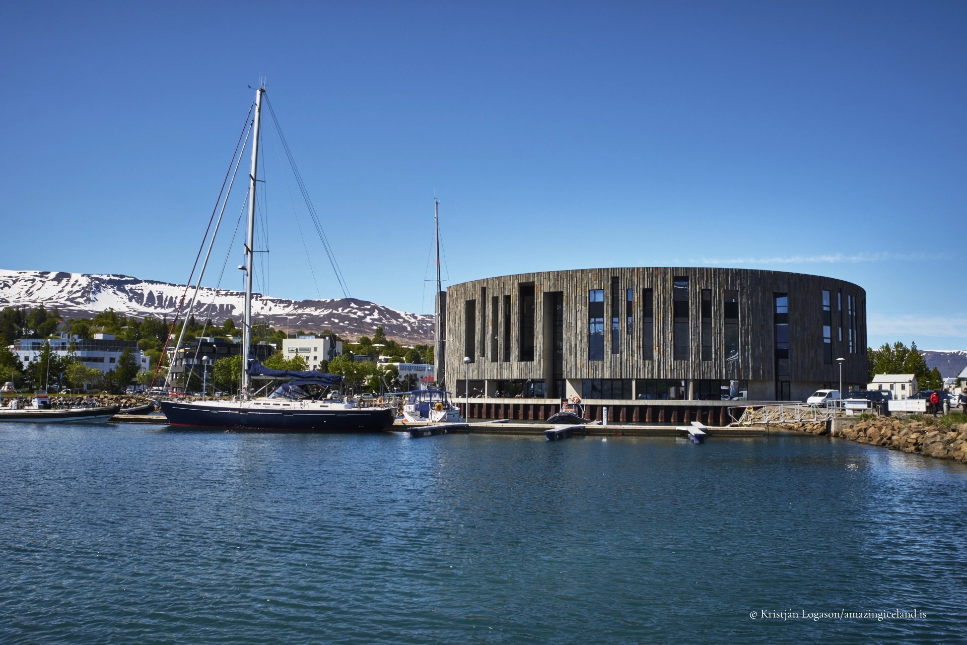
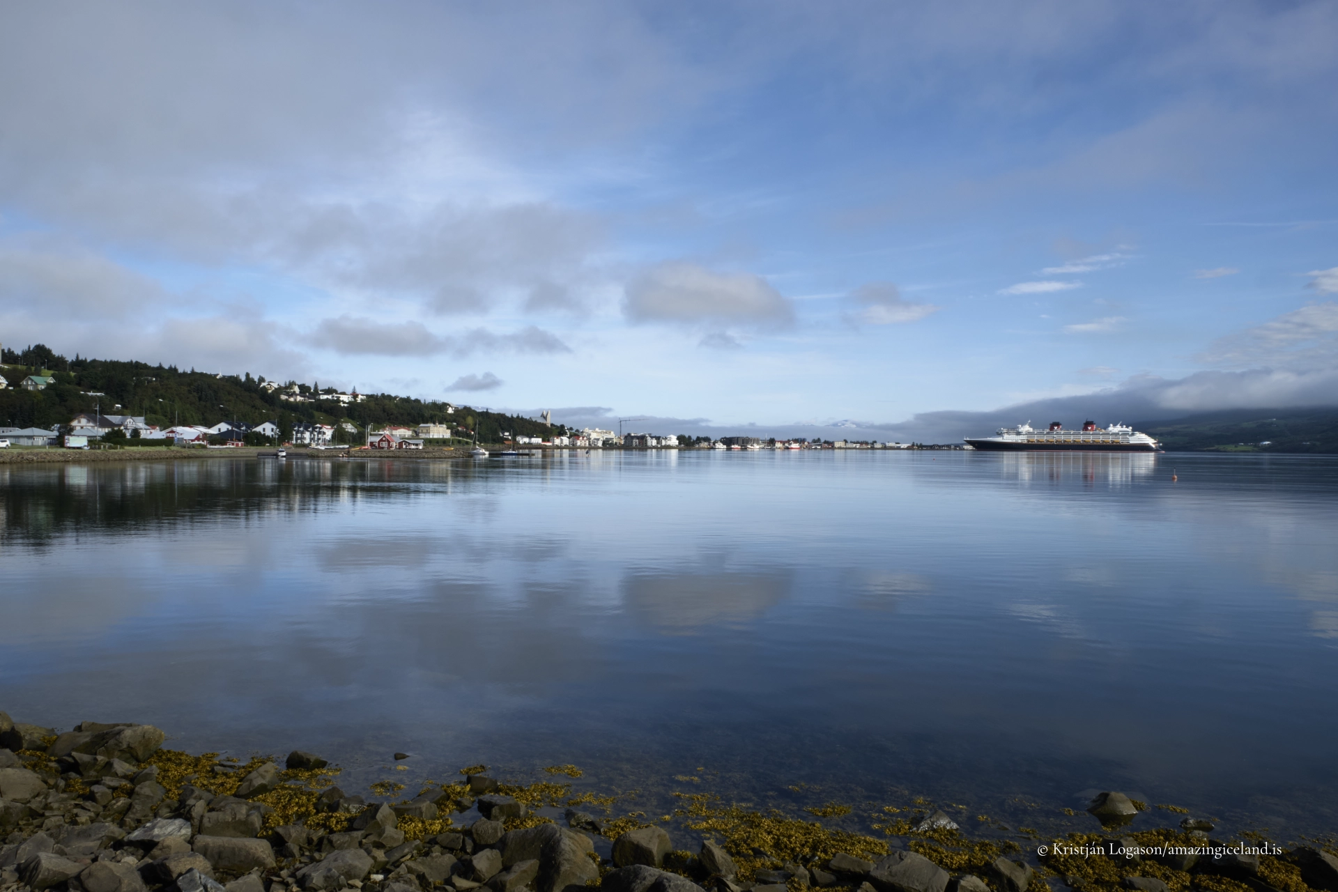
The harbour remains part of Akureyri’s identity. It is still a working harbour, used by fishing vessels, cargo ships and cruise ships, but it is not separated from the town. The waterfront lies within walking distance of the centre, and the presence of ships against the mountains is part of the everyday view.
Akureyri’s importance now extends far beyond trade. The town serves a large part of northern Iceland through its schools, university, hospital, services and cultural institutions. This wider role helps explain why Akureyri feels more substantial than its population or physical size might suggest.

Hafnarstræti and the Old Town
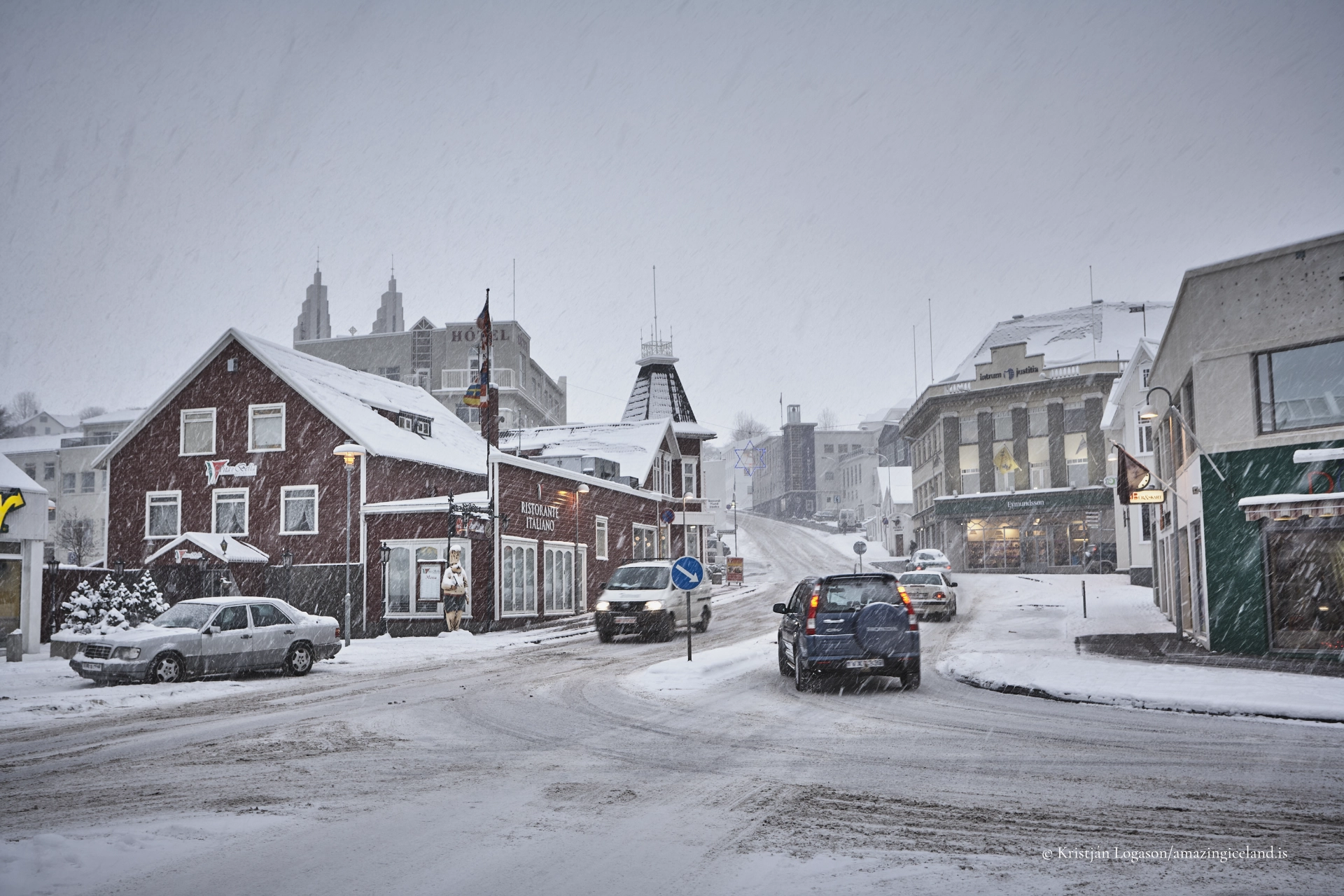
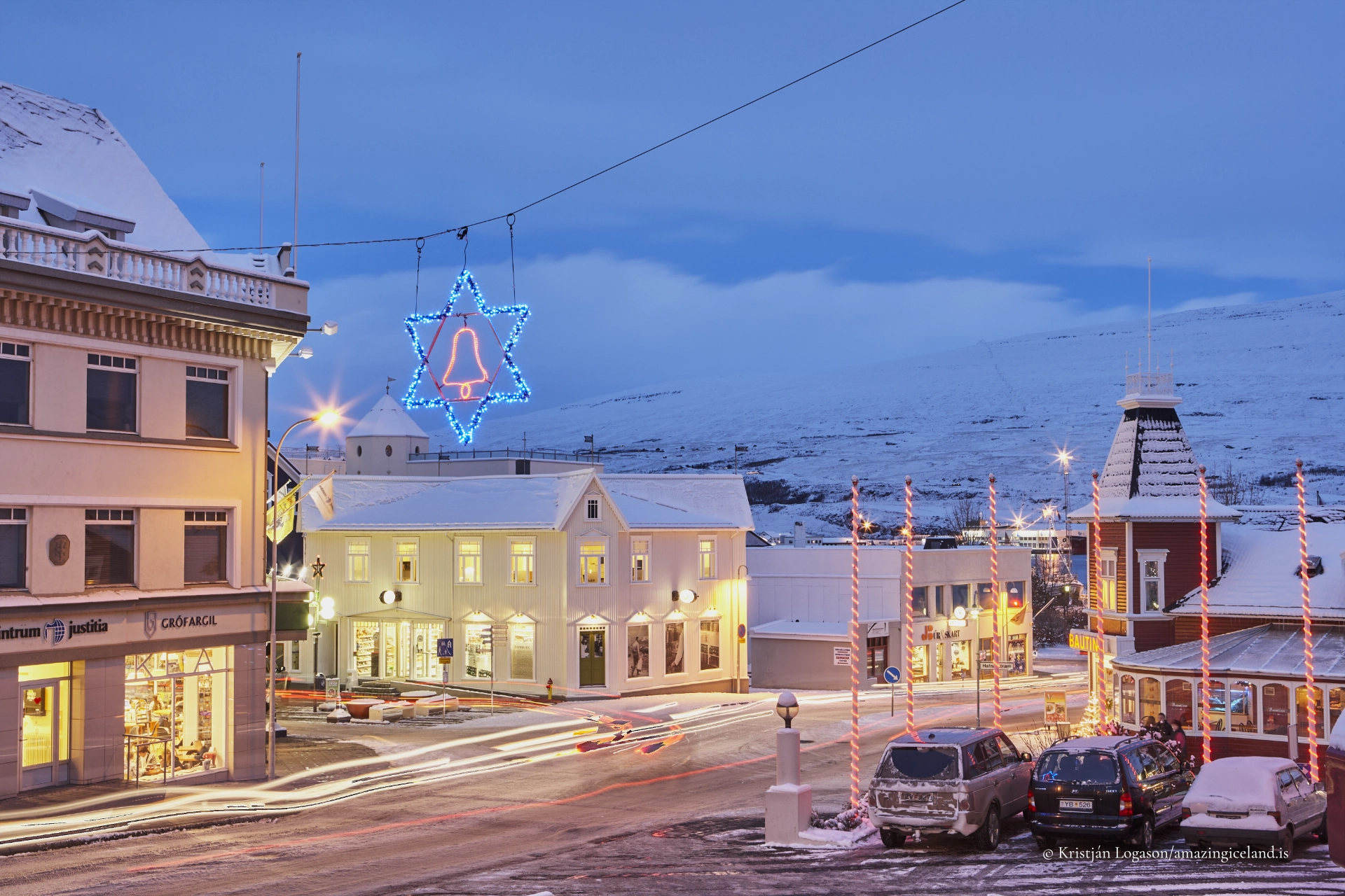
Hafnarstræti forms the heart of central Akureyri. Part of the street is pedestrianised, with shops, cafés and restaurants occupying the compact area below the church. It is the social centre of town and an easy starting point for exploring on foot.
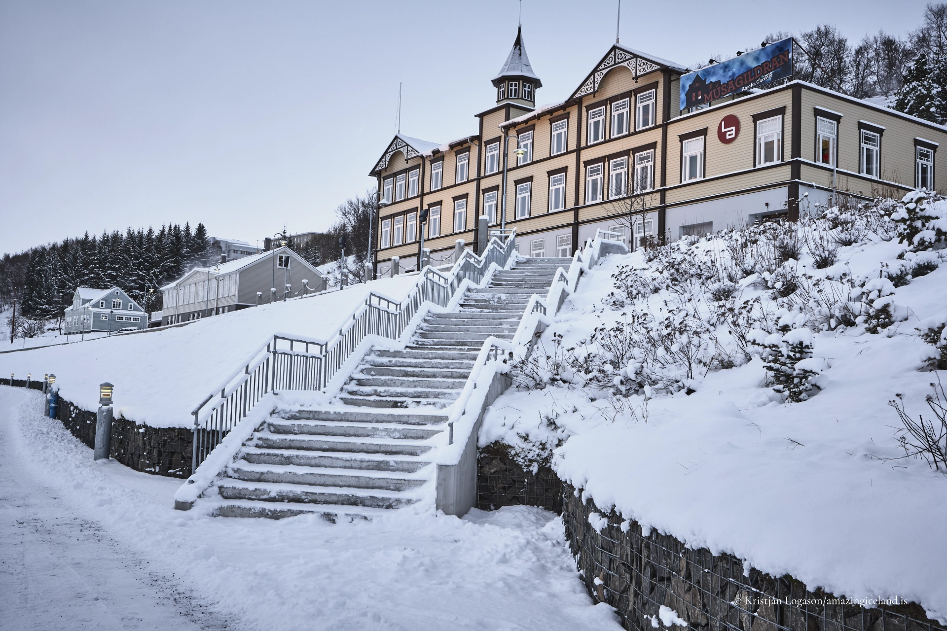
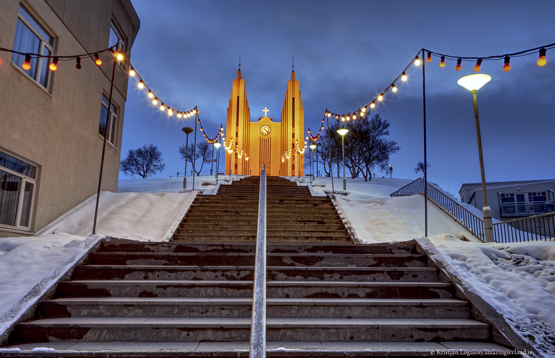
Above it stands Akureyrarkirkja, the town’s most recognisable building. Designed by Guðjón Samúelsson, Iceland’s State Architect, the church occupies a commanding position reached by a broad flight of steps. From the church and surrounding streets there are open views across the lower town, harbour and fjord.
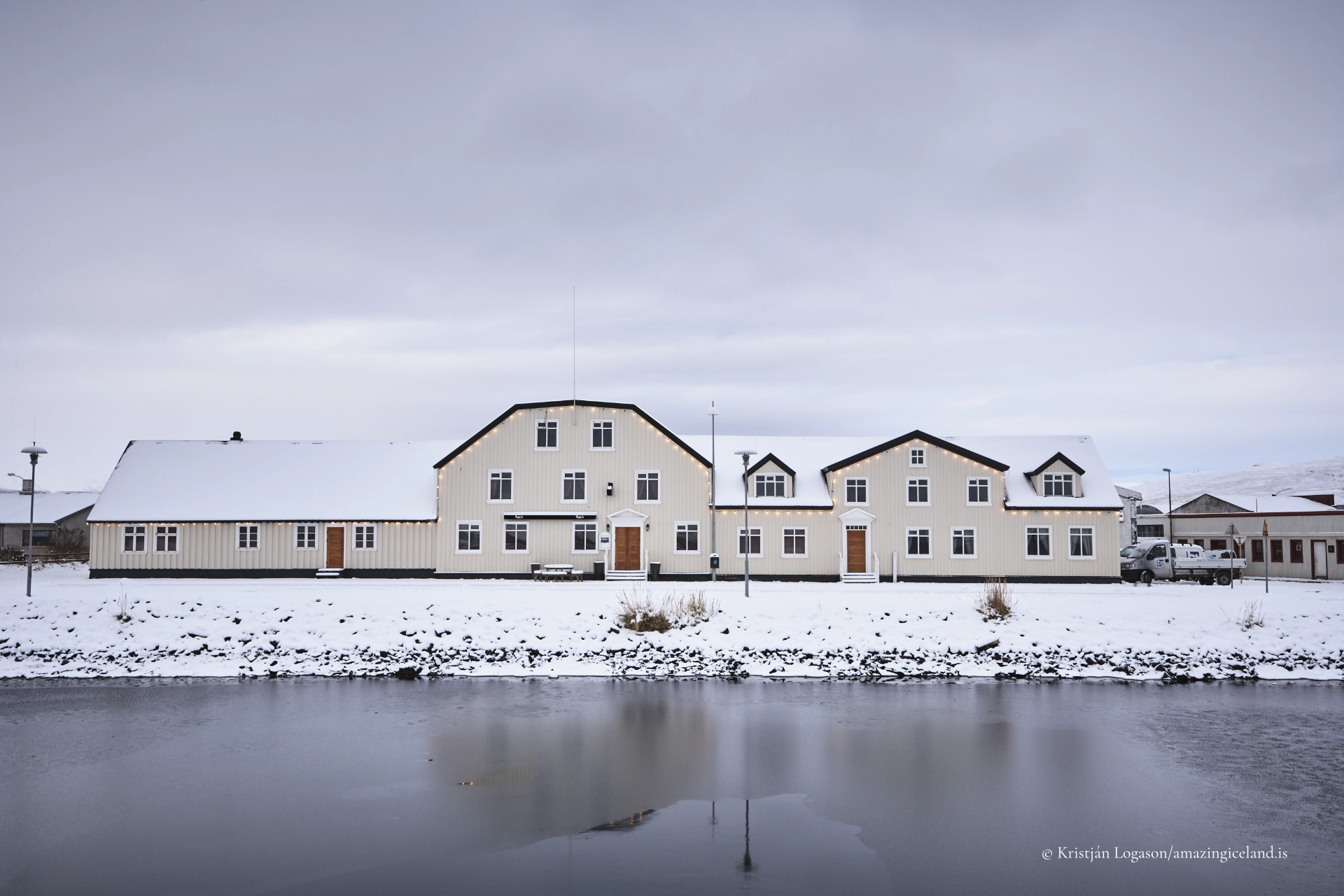
South of the centre lies Innbærinn, the oldest part of Akureyri. Here, the scale becomes smaller and the town’s history more visible. Old timber houses follow the former shoreline, offering a contrast to the busier commercial centre. Walking between Hafnarstræti and Innbærinn reveals how Akureyri grew from a narrow coastal settlement into the town seen today.
Gardens, Forests and Outdoor Life
One of Akureyri’s most distinctive public spaces is the botanical garden, Lystigarður Akureyrar. Its location, less than 100 kilometres south of the Arctic Circle, makes the variety of plants grown there particularly striking. The garden contains both Icelandic species and plants collected from other parts of the world, but for most visitors it is first and foremost a peaceful public garden rather than a scientific institution.
Flower beds, mature trees and sheltered paths make it a popular place to walk during summer. The garden also reflects something important about Akureyri: despite its northern position, trees and cultivated vegetation form a conspicuous part of the town.
That relationship with woodland continues at Kjarnaskógur, a recreational forest on the southern edge of Akureyri. Its network of paths is used for walking, running and family outings, while winter snow transforms parts of the forest into routes for cross-country skiing. Kjarnaskógur is less a conventional visitor attraction than an example of how residents use the landscape around the town.
The swimming pool has a similar place in local life. Like swimming pools throughout Iceland, it is both a recreational facility and a social space, used throughout the year rather than only during summer or by visitors.
Culture Beyond the Town’s Size
Akureyri has a cultural life unusually broad for a town of its size. Hof, the cultural and conference centre beside the harbour, hosts concerts, performances and public events. Akureyri Art Museum stands in Listagilið, or the Art Ravine, where former industrial buildings have become studios, exhibition spaces and part of the town’s creative centre.
The Akureyri Museum explores local history from its location in Innbærinn. Farther from the centre, the Icelandic Aviation Museum reflects the importance of aviation in a country where difficult terrain and long distances once isolated many communities. A motorcycle museum adds another, less expected, part to the town’s collection.
These institutions are not interchangeable items on a sightseeing list. Together with the university, theatre, music and visual arts, they demonstrate why Akureyri functions as a cultural centre for the entire north.
Akureyri in Winter
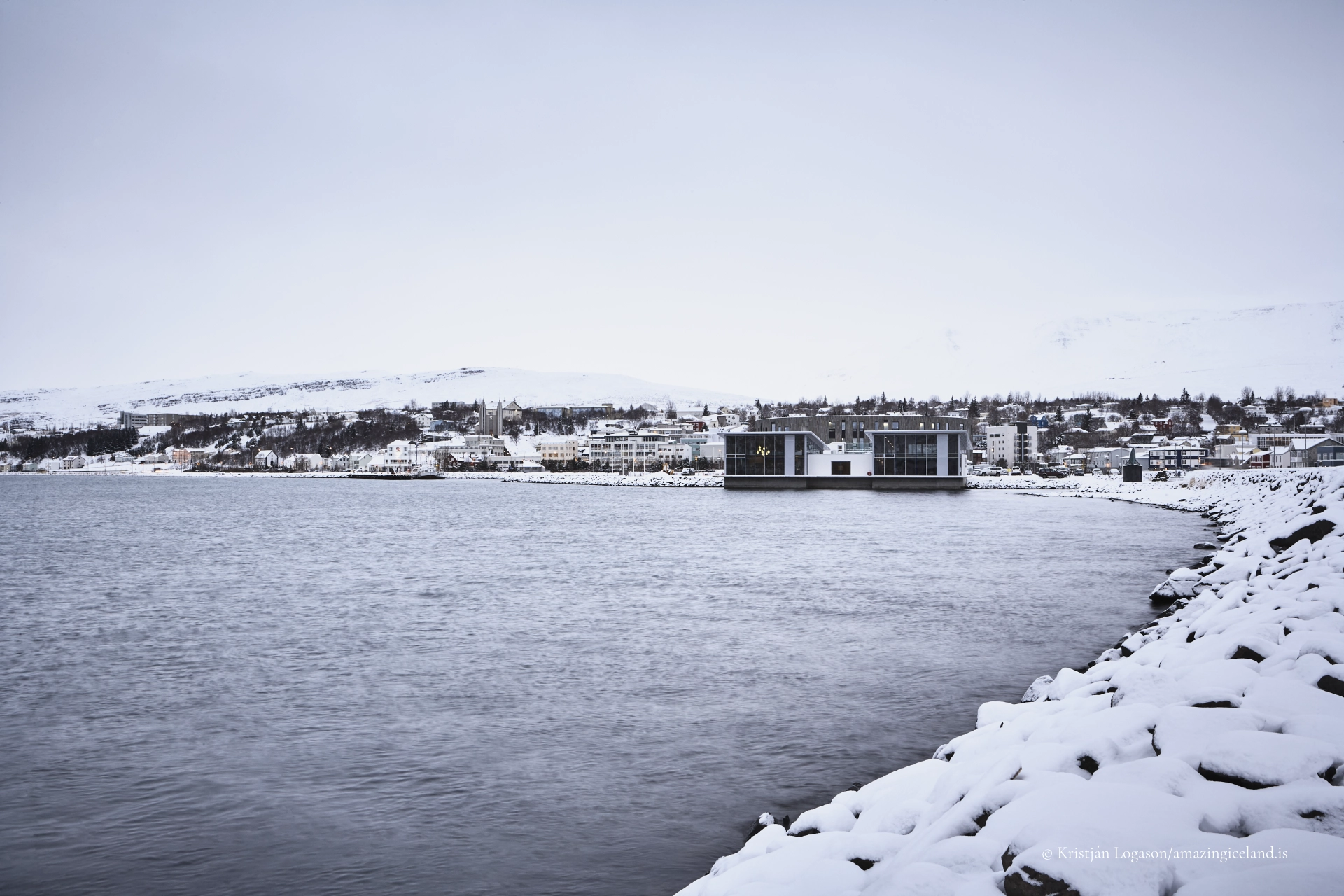
Winter is not merely the quiet season in Akureyri. Snow and darkness change the rhythm of the town and create a distinct northern atmosphere. Streets and houses are illuminated during the darkest weeks, outdoor life continues and the surrounding mountains become an active part of daily life.
Hlíðarfjall, above the town, is Akureyri’s principal winter attraction and one of Iceland’s most established skiing areas. Its slopes draw both residents and visitors, and skiing has become closely associated with the town’s identity.
Yet winter Akureyri is more than Hlíðarfjall. Swimming outdoors in cold weather, walking through snow-covered streets, attending cultural events and watching the changing light over Eyjafjörður are equally characteristic experiences. Snow and road conditions vary, so winter travel should always be planned according to the forecast rather than the calendar alone.
A Base for North Iceland
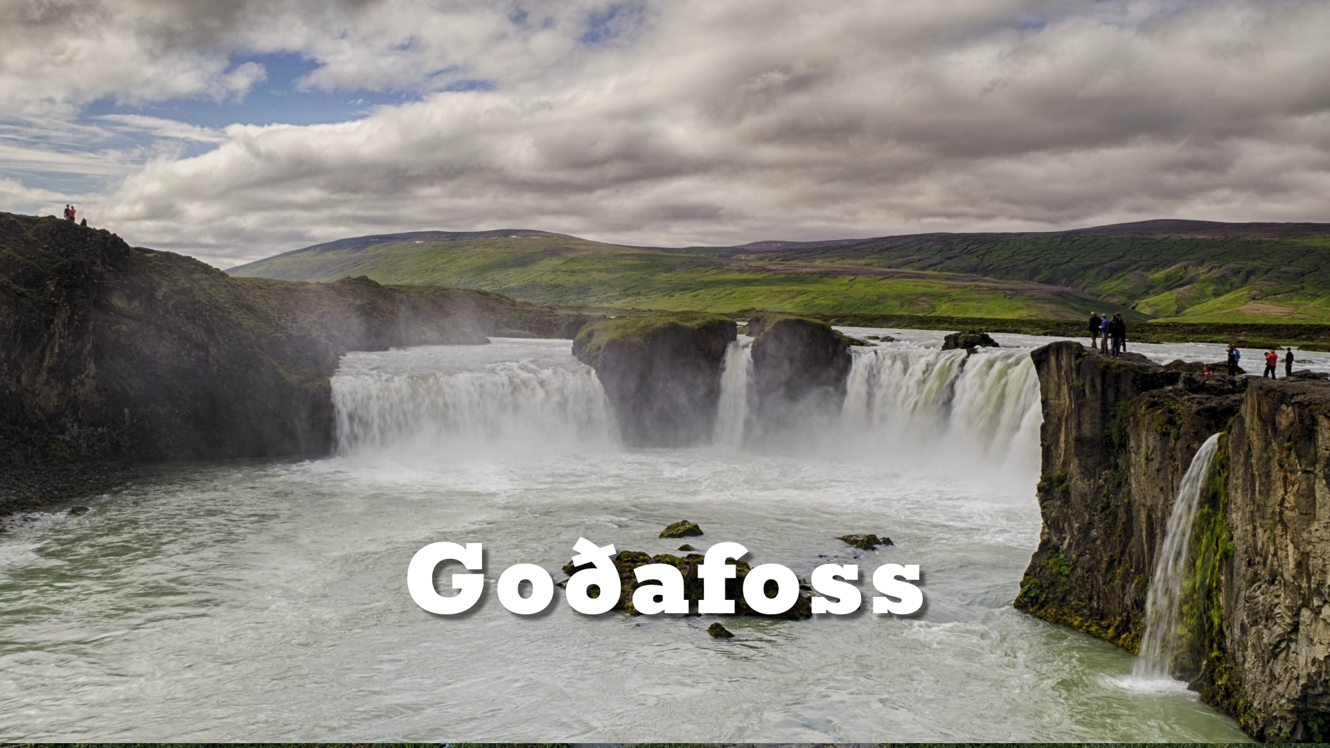
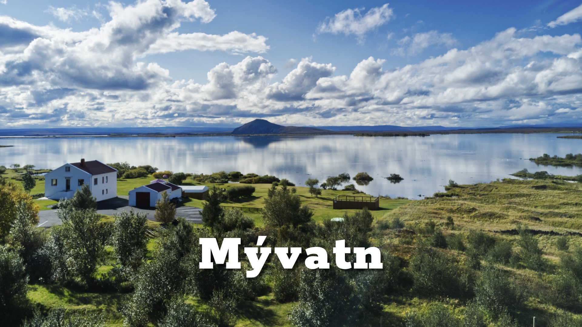
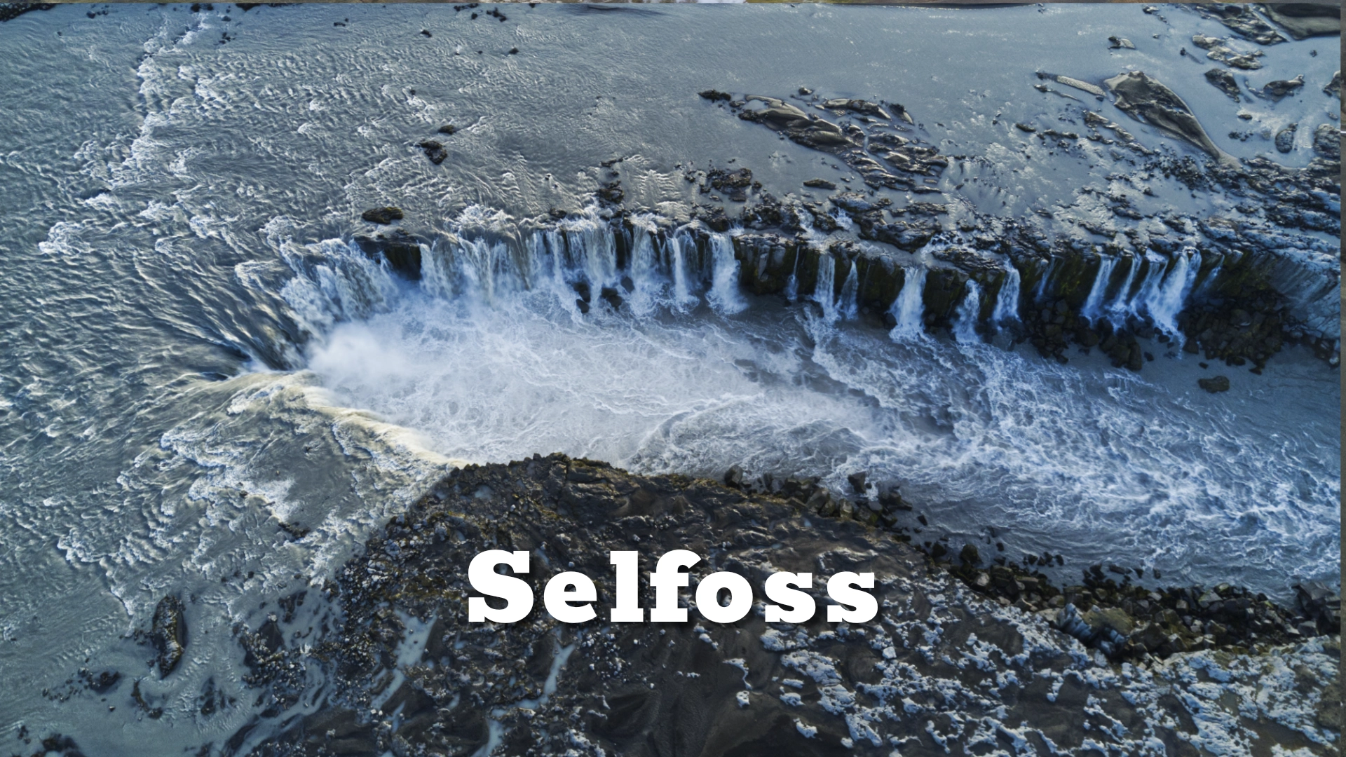
Akureyri is well placed for exploring Eyjafjörður and the communities along its shores. The roads around Tröllaskagi lead through some of North Iceland’s most dramatic mountain scenery, while Goðafoss, Lake Mývatn and Húsavík can also be reached on day trips.
These possibilities make Akureyri a useful base, but the town should not be treated merely as somewhere to sleep between excursions. It deserves time of its own. A walk from the harbour through Hafnarstræti, up to the church and botanical garden, and south through Innbærinn reveals a northern town with a history, culture and rhythm that belong to the place itself.
Visiting Akureyri
Akureyri can be reached by road throughout the year, although winter conditions may affect all routes into the town. Domestic flights connect Akureyri with Reykjavík, and the airport lies immediately south of the urban area.
The centre is compact and best explored on foot. Parking is available in and around the central area, but visitors should check the signs for current restrictions. Some museums and seasonal attractions operate limited winter hours, and opening times should be confirmed directly before visiting.
Interesting facts:
-
- Akureyri received its municipal charter in 1786, although it remained a very small settlement for decades afterwards.
- Akureyrarkirkja was designed by Guðjón Samúelsson and completed in 1940.
- Many of Akureyri’s traffic lights display a heart in place of the conventional circular red light, a small feature that has become one of the town’s best-known symbols.
- The sheltered waters at the head of Eyjafjörður provided the natural harbour around which Akureyri developed as the trading centre of North Iceland.
Image Gallery


Photography tips:
- The elevated streets above the centre offer strong views across the rooftops, harbour and Eyjafjörður. Akureyrarkirkja provides a clear architectural focal point, especially when photographed from Hafnarstræti or incorporated into wider views of the town.
- Innbærinn is better suited to quieter studies of older houses, streets and details. At the harbour, ships can be framed against the mountains on the opposite side of the fjord, showing the close relationship between the working town and its setting.
- The low northern light can be particularly rewarding during winter, when snow reflects colour back into the shadows and the short day produces extended periods of dawn and dusk. In summer, early morning or late evening usually gives more shape to the mountains than the flatter light around midday.
- For broader views, look for elevated positions rather than trying to photograph the whole town from the waterfront. The defining image of Akureyri is not simply its centre or any individual building, but the town held between the steep mountains and the long waters of Eyjafjörður.
Destinations nearby