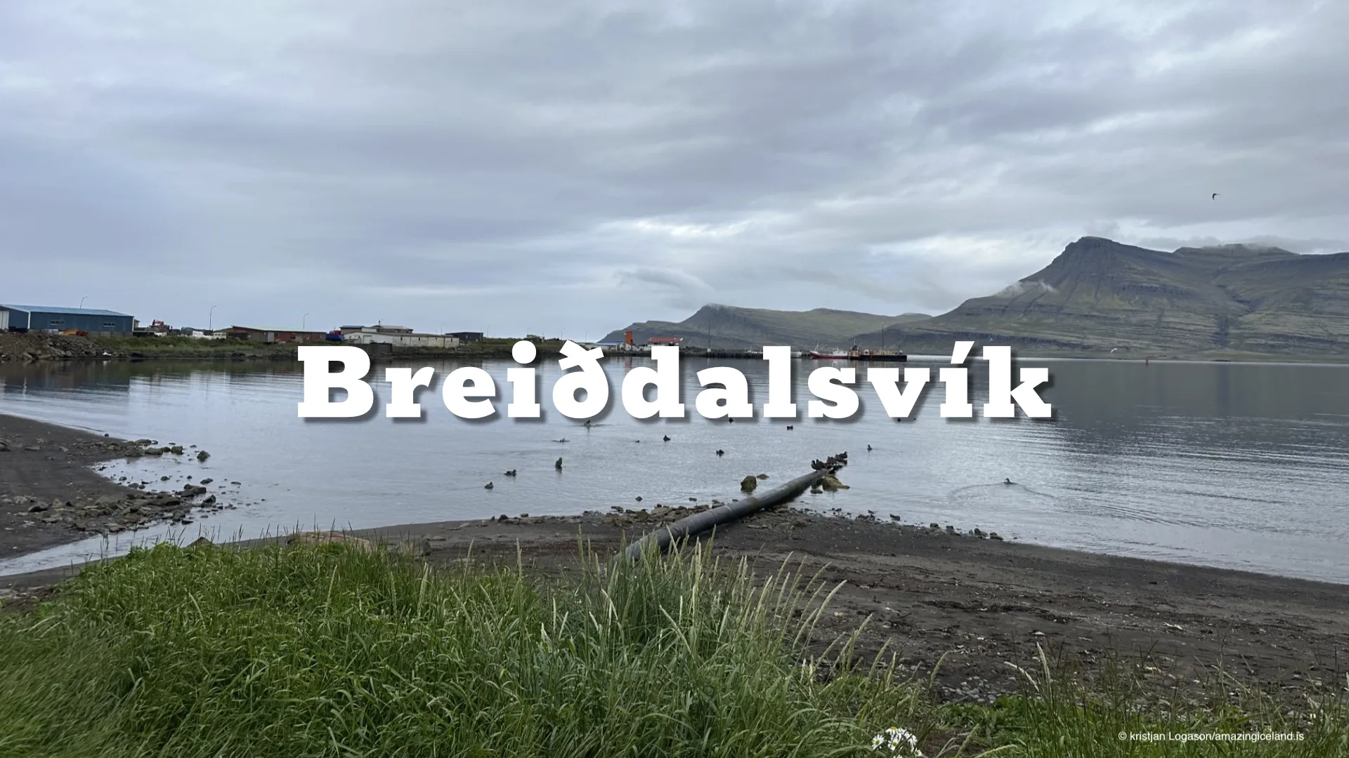
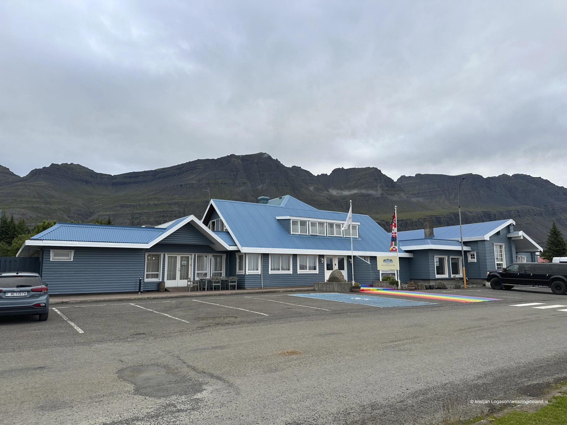
On the outer coast of East Iceland, Breiðdalsvík sits at the meeting point of Breiðdalur and the open Atlantic. Unlike many fjord settlements compressed between steep slopes and narrow shorelines, Breiðdalsvík occupies a relatively wide coastal plain, giving the village a spatial character shaped by access, agriculture, and gradual connection rather than isolation.
The location of Breiðdalsvík
Latitude
64.7949
Longitude
-14.0117
Breiðdalsvík
Breiðdalsvík is located at the mouth of Breiðdalur, one of East Iceland’s broader and more gently sloping valleys. This geographic setting distinguishes the village immediately. Where many Eastfjords communities are constrained by steep mountains rising directly from the sea, Breiðdalsvík benefits from a transitional landscape in which valley, shoreline, and lowland merge more gradually.
The fjord-facing coastline here is open rather than enclosed, exposing the village to weather systems arriving directly from the Norwegian Sea. This exposure has shaped both settlement patterns and architecture, favoring low-profile buildings and a layout oriented toward resilience rather than density. At the same time, the wider terrain allowed for agriculture and livestock farming to develop alongside fishing—an uncommon balance in East Iceland.
From a physical geography perspective, Breiðdalsvík represents a threshold settlement. It stands at the point where inland processes—river transport, sediment deposition, and valley formation—transition into coastal dynamics. This dual orientation is central to understanding the village’s form and history.
Historically, Breiðdalsvík developed as a mixed economy settlement, combining fishing with farming and trade. The presence of usable lowland reduced dependence on purely maritime resources, providing a degree of stability uncommon in more topographically constrained fjord villages. Seasonal rhythms still governed life, but diversification softened extremes.
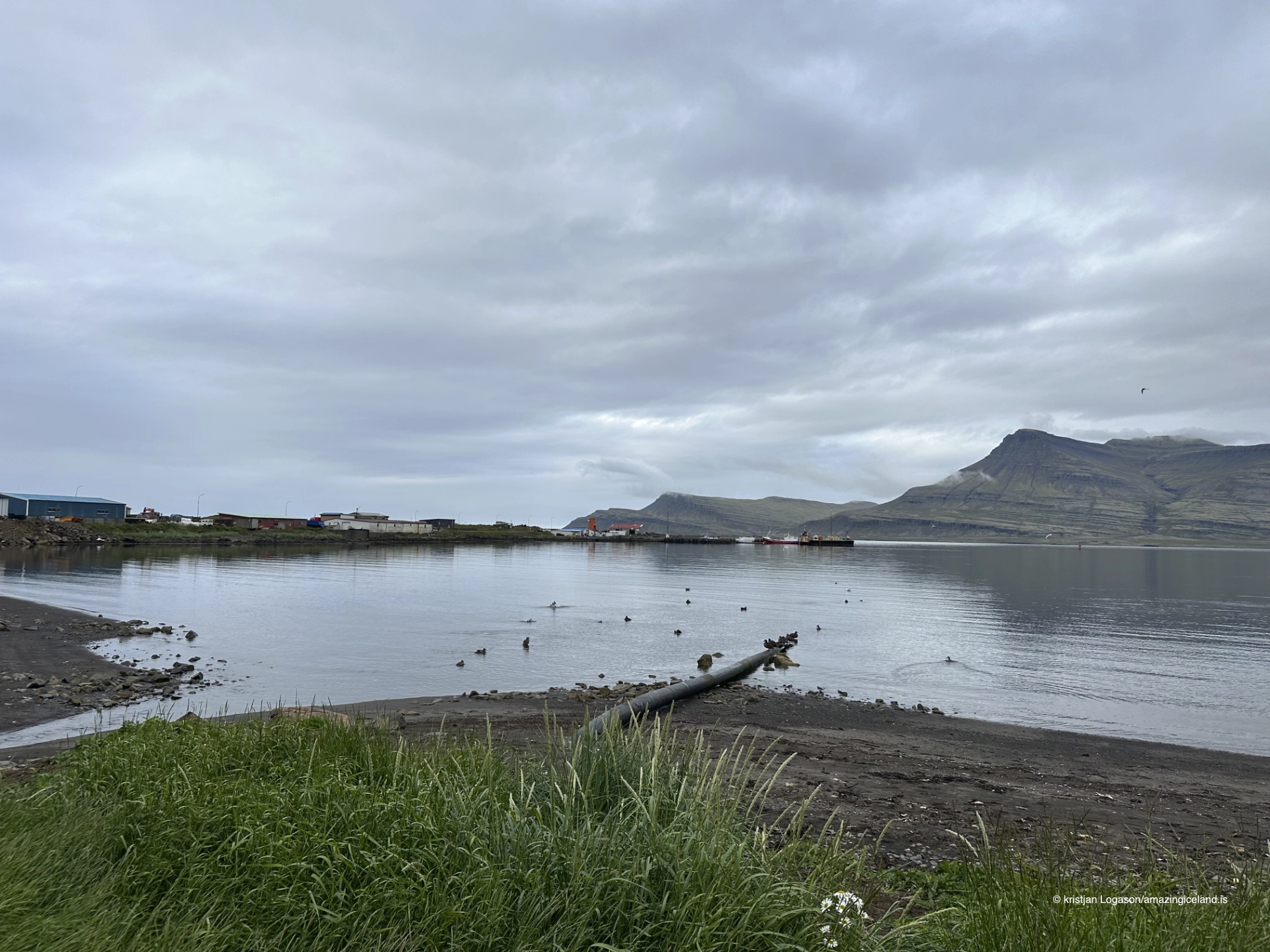
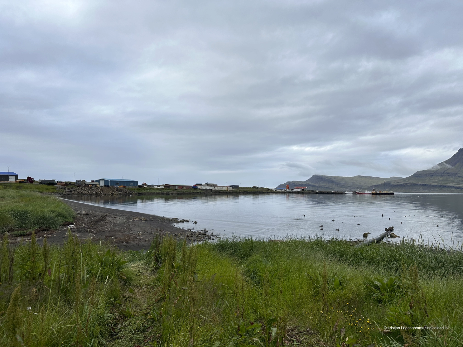
The harbor, though modest, has long been central to the village’s identity. Fishing boats, coastal trade, and later motorized transport connected Breiðdalsvík outward, while the valley connected it inward. This bidirectional accessibility shaped social life and economic resilience, allowing the village to function as a local service point for surrounding farms and smaller settlements.
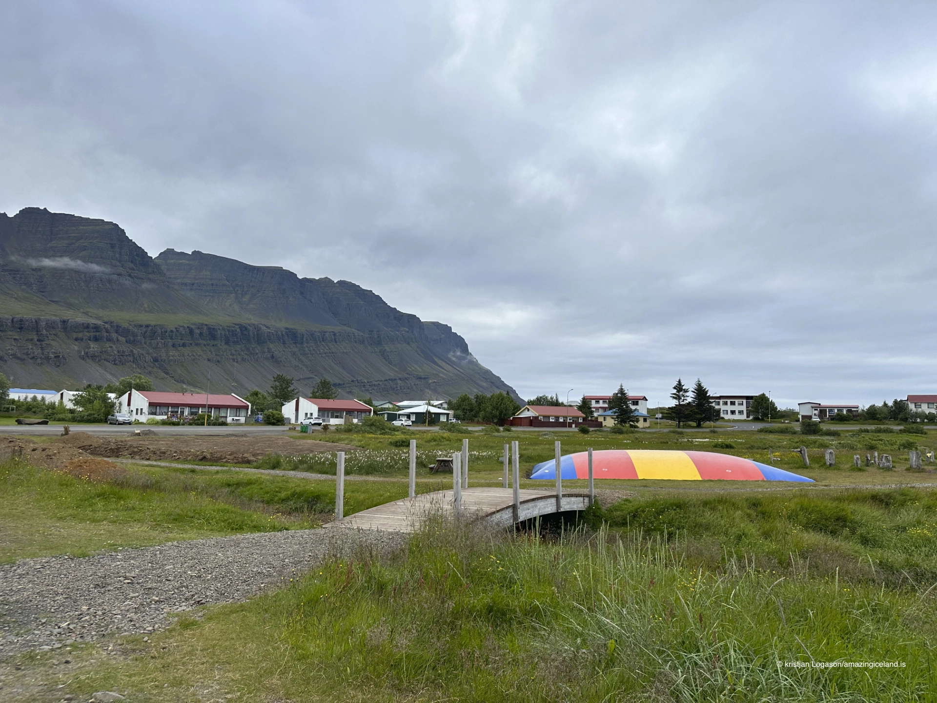
Unlike boom-driven fishing towns, Breiðdalsvík experienced slower, steadier growth. Its built environment reflects this pace: functional structures, incremental expansion, and limited industrial concentration. The village reads less as a former industrial hub and more as a working rural-coastal community.
Culturally, Breiðdalsvík is closely associated with regional identity rather than singular historical events. It does not anchor a specific saga episode or industrial boom; instead, it represents continuity. Daily life here has long been shaped by weather, access, and the negotiation between land and sea.
This continuity is reinforced by the surrounding landscape. Breiðdalur extends inland with a gentler gradient than most Eastfjords valleys, creating a visual and functional corridor between coast and interior. Movement through the valley feels transitional rather than constrained, reinforcing the village’s outward-facing character.
Breiðdalsvík offers a counterexample within East Iceland: a settlement where space mitigates isolation. The village demonstrates how relatively small differences in topography can produce markedly different social and economic outcomes.
Modern infrastructure has strengthened Breiðdalsvík’s connective role. Road access along the Eastfjords coast and inland routes through Breiðdalur link the village to neighboring communities and to the interior plateau. While still remote by national standards, Breiðdalsvík is less enclosed than many of its counterparts.
Environmental conditions remain a defining factor. Strong winds, winter storms, and shifting light dominate the sensory experience. Yet the openness of the terrain disperses rather than concentrates these forces, contributing to the village’s comparatively calm visual rhythm.
This balance—exposed but not compressed—gives Breiðdalsvík a distinct atmospheric quality. The village does not feel hidden; it feels positioned.
Breiðdalsvík ultimately stands as an example of how geography sets tone. The village’s broader setting has allowed a form of settlement that is measured rather than defensive, connected rather than insular. It does not dramatize its remoteness; it accommodates it.
Interesting facts:
- Breiðdalsvík lies at the mouth of Breiðdalur, one of East Iceland’s broader valleys.
- The village historically combined fishing and agriculture, unusual for the Eastfjords.
- Its coastline is open to the Atlantic, not enclosed by a narrow fjord.
- Settlement growth has been gradual rather than boom-driven.
- The area functions as a transition zone between coast and interior.
Image Gallery

The Locomotive Elite
What do Donald Trump and Iceland’s Locomotive Elite have in common?
Far more than you think.
In The Locomotive Elite, you’ll uncover how a tiny clique in Iceland captured extensive control—of banks, courts, media, and even the central bank.
For decades they ruled, first democratically, then through corruption and in the end through crime, enriching themselves and their cronies while dismantling oversight.
The result?
One of the most spectacular financial collapses in modern history.
Photography tips:
- Emphasize openness: Wide frames suit the village’s spatial character.
- Use valley lines: Roads and rivers leading inland reinforce the coast–interior connection.
- Weather honesty: Wind and cloud movement are part of the narrative—don’t wait for stillness.
- Harbor minimalism: Simple compositions communicate scale better than crowded frames.
- Seasonal contrast: Winter flattens the landscape; summer reveals its breadth.
Good cameras for Iceland
Sony A7R V

Sony A7s lll

Canon R6

Nikon Z6 lll

Destinations nearby


Good to have in Iceland


