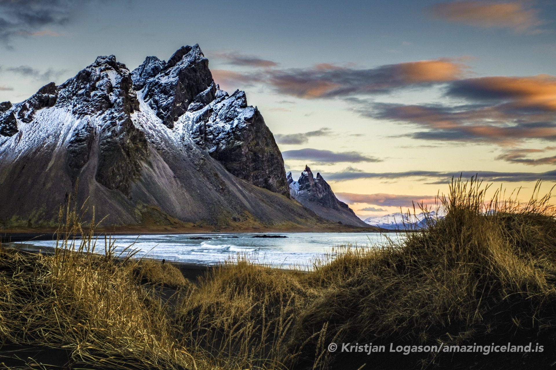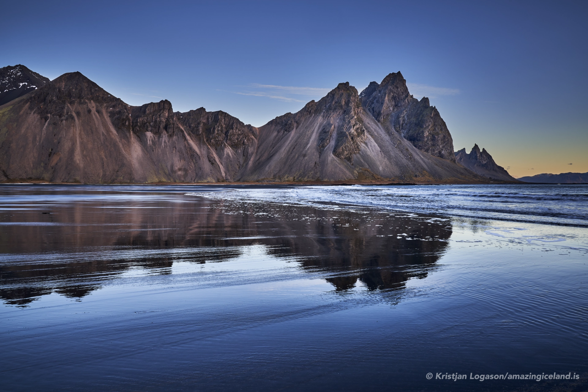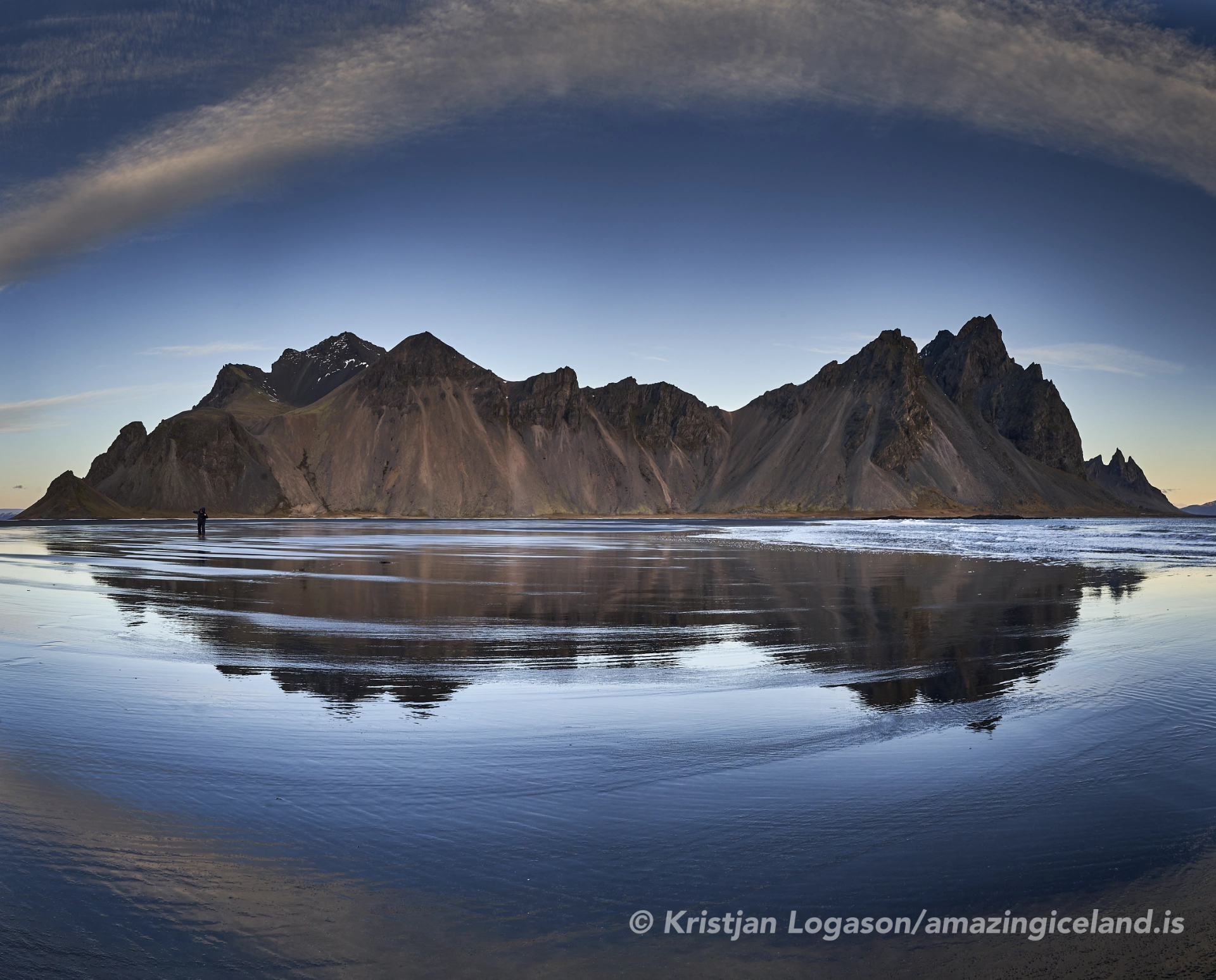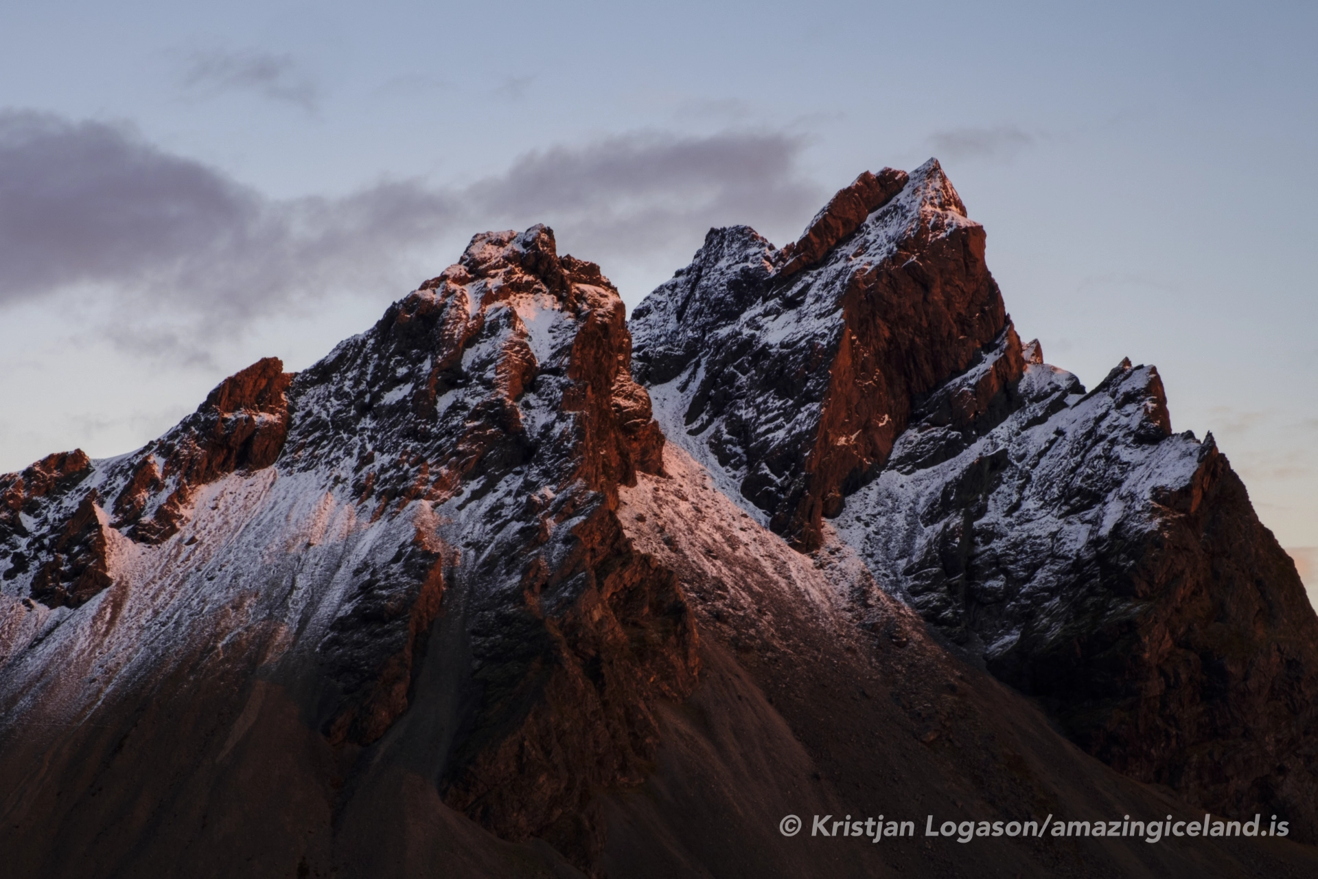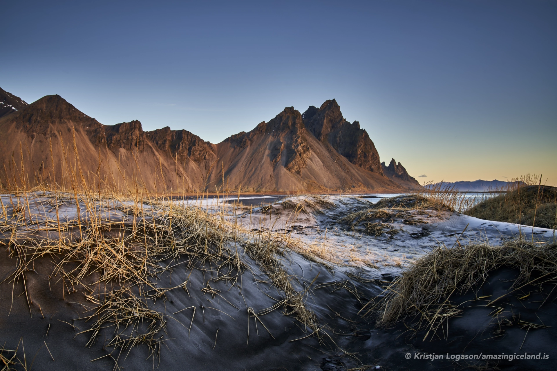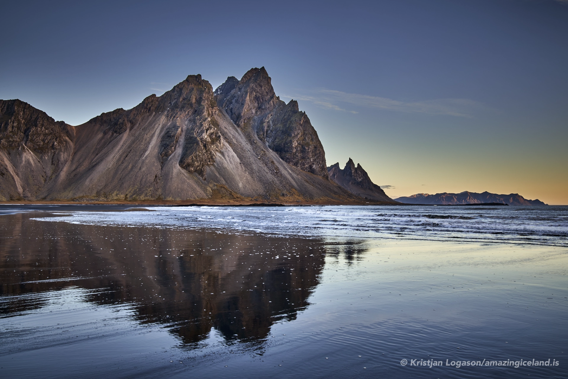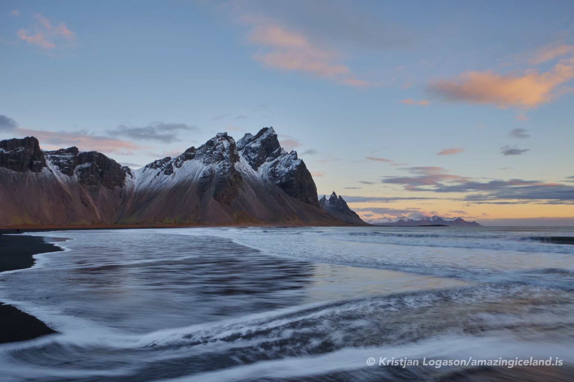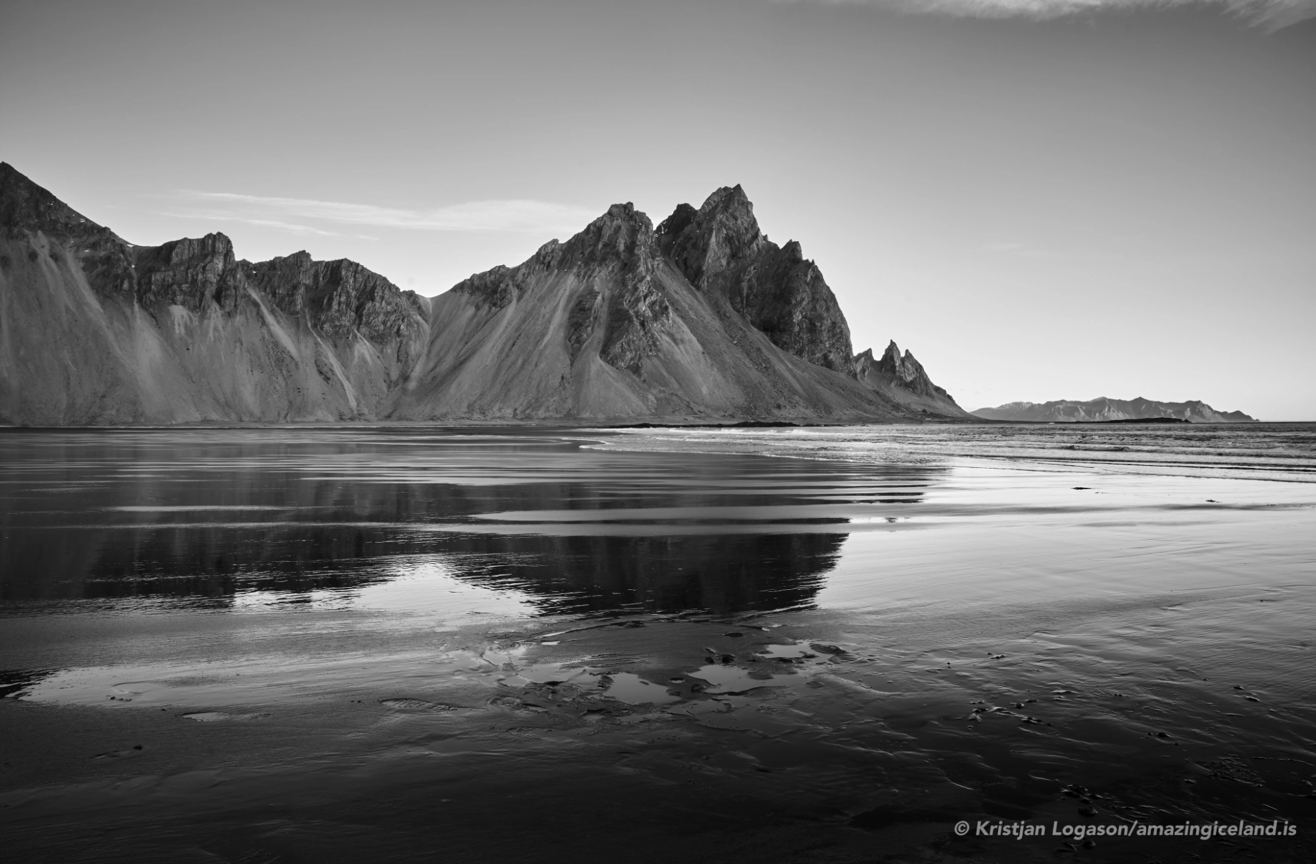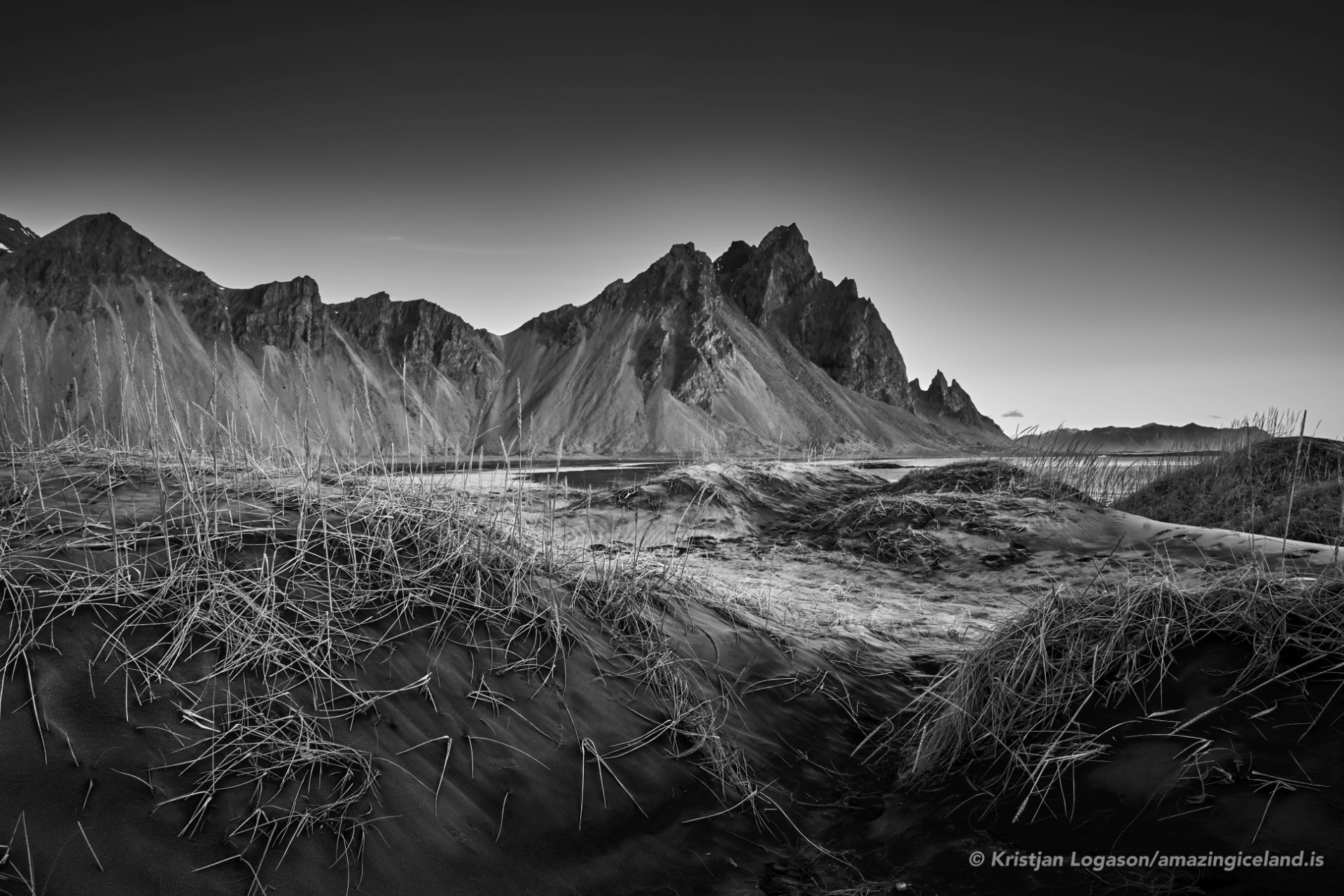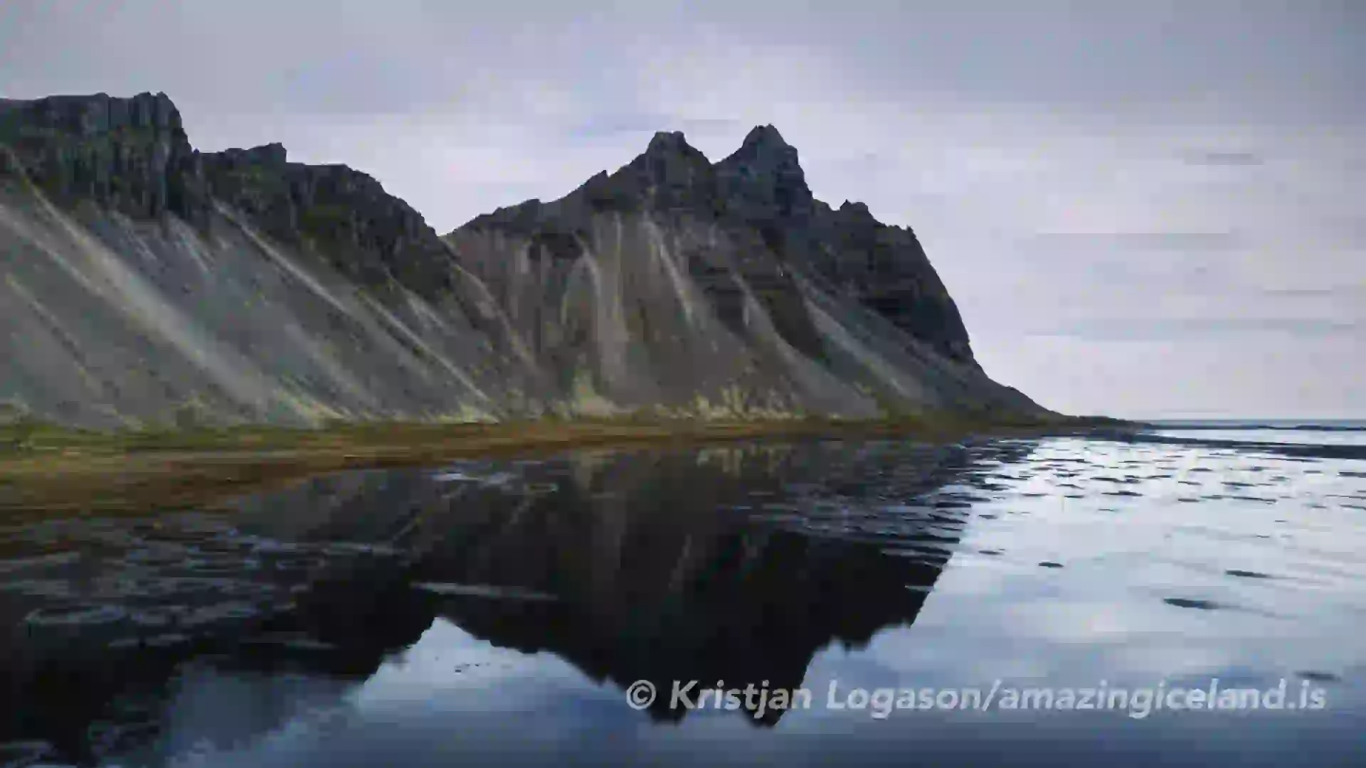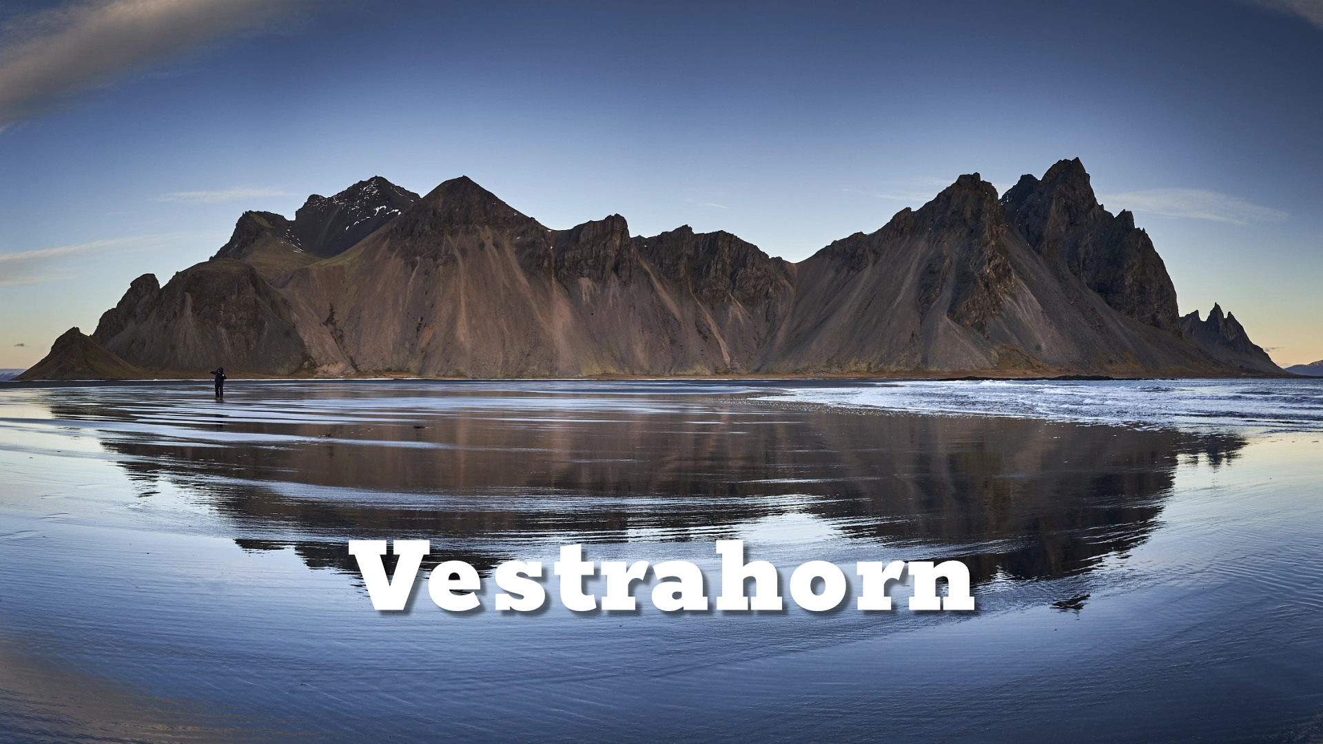
Photographers flock to Vestrahorn in droves, drawn by the mountain's photogenic beauty and the opportunity to capture stunning images of Iceland's wild and untamed coastline

About 21 kilometres by road from Höfn, Vestrahorn rises abruptly above the low coast of southeast Iceland. From Stokksnes, the mountain range appears almost to begin where the black sand ends: a wall of dark ridges and steep faces behind dunes, marram grass and shallow water gathered on the flats.

The name Vestrahorn refers to the mountain range rather than to a single summit. Within its skyline are separately named mountains and peaks, including Klifatindur, Kambhorn and Brunnhorn. Their names are often blurred online, where the entire view is commonly labelled simply Vestrahorn. Kambhorn is also widely known as Batman Mountain because of its distinctive outline.

Vestrahorn is closely associated with Stokksnes, but the two names describe different things. Vestrahorn is the mountain range. Stokksnes is the coastal headland and visitor area from which the familiar views are reached. They belong to the same landscape, but each has its own story.

The location of Vestrahorn mountain in east iceland

Latitude
64.27275791686428
Longitude
-14.947012896688161

Vestrahorn mountain in east iceland

A mountain range of dark intrusive rock

Vestrahorn stands east of Almannaskarð, between Hornsvík and Papós. It forms the western mountain range beside Papafjörður, while Eystrahorn rises on the fjord’s eastern side. The two names—western horn and eastern horn—describe their geographical relationship across this part of the coast.

The range is unusual in Iceland because it contains gabbro and other intrusive rocks. Most of Iceland’s exposed bedrock is volcanic rock formed at or close to the surface. Gabbro forms differently: magma cools slowly below ground, allowing visible mineral crystals to develop before the rock is later exposed by erosion.

The rock type alone does not explain every shape in the mountain. Vestrahorn’s present skyline is the result of a much longer history involving the intrusive rock body, fractures within it and later erosion. Glaciers also helped shape the valleys, faces and ridges. What remains is a compact but complex mountain range with dark rock walls, narrow gullies and a profile that changes considerably as the viewpoint moves along the coast.

Some of the rock faces are among the highest cliffs used for climbing in Iceland, and large fallen blocks lie below them. The area is known to Icelandic climbers for both climbing and bouldering. This is a specialised environment rather than an ordinary visitor walk: there is no marked tourist trail from Stokksnes onto the mountains, and the entrance ticket for the coastal area should not be understood as access to a mountain route.

One skyline, several names

From the Stokksnes side, Vestrahorn is usually experienced as one mountain landscape. The low coastal foreground leaves the ridges almost uninterrupted against the sky, and most visitors do not try to separate one named peak from another. This has helped Vestrahorn become the general name used in travel writing and photography for the complete view.

Icelandic maps are more precise. The official map at Kortagluggi identifies Vestrahorn, Kambhorn and Brunnhorn separately and also records names for other mountains, ridges and gullies in the range. These names are not interchangeable. Kambhorn is the sharply shaped formation widely called Batman Mountain, while Brunnhorn is a separate named mountain. The two have frequently been confused in online articles and image captions.

The important distinction is that Vestrahorn is not one isolated cone with several competing names. It is the collective mountain range, and the familiar skyline is made from several separately named parts.

The range also looks different from different positions. A peak that appears dominant from one part of Stokksnes may merge into another ridge or lose its distinctive outline as the viewer moves. Photographs flatten overlapping landforms into a single profile, which can make the identity of individual peaks difficult to read without a map and a known viewpoint.

This is particularly relevant to Kambhorn’s Batman nickname. The resemblance belongs to a recognisable profile, not to an official geographical name. It is useful as a visual description, but it should not replace the mapped name or be transferred to Brunnhorn simply because the peaks stand close together.

The mountain and the coast

Vestrahorn’s visual power comes partly from contrast. The mountain range is steep, dark and vertically divided, while the landscape in front of it is low and open. Black sand, tidal flats, low dunes and marram grass create a foreground that can look sparse from a distance but changes with water, wind and season.

The black sand belongs to the broad sediment-rich coast that extends along much of southern Iceland. At Stokksnes, wind and water continually rearrange its surface. Shallow pools may remain on the flats after rain or changing tides. When the water is still, sections of the mountain can appear reflected in it. The result is never guaranteed: the amount of water, its position, the wind, the viewpoint and the light all affect whether a clear reflection is possible.

The open foreground also changes how the mountain is perceived. From the flats there is little visual competition between the viewer and the range. The transition from nearly horizontal sand to steep rock makes the mountains appear especially abrupt, even though they do not literally rise from the beach.

Weather can alter the character of the range within minutes. Low cloud may hide the highest ridges while leaving the lower rock faces visible. Side light can separate gullies and projecting ridges; backlight can reduce the skyline to a dark shape; overcast light can reveal subtler differences in the rock. None is inherently the best condition. Vestrahorn offers a different reading as the relationship between mountain, foreground and sky changes.

Visiting Vestrahorn from Stokksnes

The familiar viewpoints towards Vestrahorn are reached through the privately operated Stokksnes area. Visitors buy an entrance ticket at the Viking Café, which provides vehicle access through the gate to the coastal area. Unless travelling towards the radar station under the access arrangements in force, the road effectively ends at the café area. Visitors park along the access road and continue into the sand, dunes and flats on foot.

The ticket gives access to the Stokksnes visitor area, not to a marked route onto Vestrahorn. There is no ordinary hiking trail leading from the beach onto the range. The mountains contain serious climbing terrain, but that is separate from the experience for which most visitors come.

Conditions on the coast are exposed. Strong wind can lift sand, make walking unpleasant and remove any possibility of calm reflections. After rain or during wet conditions, shallow water and soft ground can alter where it is practical to walk. In winter, snow may conceal uneven surfaces and the edges of water channels. Visitors should remain aware that the foreground is a changing coastal environment rather than a constructed viewpoint.

Stokksnes has its own history, visitor facilities, Viking village film set and coastal environment. For visitors coming to see Vestrahorn, its practical importance is simpler: it provides the accessible foreground and viewpoints from which the mountain range is most widely seen.

Interesting facts:

  • Vestrahorn is the name of a mountain range, not simply one summit.
  • The range lies west of Papafjörður; Eystrahorn stands on the eastern side.
  • Icelandic maps distinguish Vestrahorn, Kambhorn and Brunnhorn as separate named features within the mountain landscape.
  • Kambhorn is widely known as Batman Mountain because of its distinctive profile. Brunnhorn is a separate mountain, although the names are often confused online.
  • Vestrahorn contains gabbro and other intrusive rocks, which are comparatively unusual among Iceland’s exposed rock formations.
  • The cliffs and large fallen blocks of the range are used by experienced climbers and boulderers.
  • The reflections associated with Vestrahorn occur in shallow water on the coastal flats at Stokksnes, not in water surrounding the base of the mountain.

Image Gallery

Photography tips:

  • Vestrahorn can be photographed as a mountain study or as part of the wider Stokksnes landscape. Decide first what the image is about: the complete skyline, one named formation, the relationship between mountain and coast, or a foreground detail such as dunes, grass, wet sand or standing water.
  • Wide compositions can show the sudden transition from the low coastal plain to the steep mountain range. Longer focal lengths allow individual ridges and rock faces to be separated from the complete skyline. Vertical framing can work with the gullies and steep faces, while panoramic framing can emphasise the length of the range.
  • Reflections depend on suitable surface water and sufficiently calm conditions. Tide and recent weather influence where water collects, while wind determines whether its surface remains clear enough to reflect the mountain. Light then determines how much detail, colour and separation appears in both the mountain and its reflection.
  • Low-angle light can reveal the relief of the range when it crosses the faces from the side. Overcast light reduces contrast and may retain detail across the dark rock, while stronger direct light can create greater separation between projecting ridges and shadowed gullies. Backlight and twilight can turn the mountain into a strong silhouette. These are different possibilities, not a hierarchy of good and bad conditions.
  • The mountain occupies much of the northern and northwestern skyline from commonly used positions on the Stokksnes flats. This can make it a natural foreground beneath the northern lights when the aurora’s position, cloud cover and local weather align. In darkness, remain conscious of pools, channels and uneven ground rather than moving only by what is visible through the camera.
  • Before settling on a composition, move through the areas where access is permitted and observe how the named peaks overlap. Small changes in position can significantly alter the skyline, the relationship between Kambhorn and Brunnhorn, and the amount of separation between the mountains and the foreground.

Destinations nearby

Seyðisfjörður: A Hidden Cultural Gem in East Iceland
Together with Vestrahorn and Eystrahorn, Brunnhorn forms part of the "Horny Mountains” trio—three uniquely shaped peaks lining Iceland’s southeastern coast and reflecting beautifully in the surrounding waters on calm days.
Eystrahorn, sometimes overshadowed by its famous neighbor Vestrahorn, is one of East Iceland's most striking and remote mountains. Rising dramatically from the Atlantic Ocean along the Hvalnes Peninsula
Studlagil canyon
Breiðdalsvík