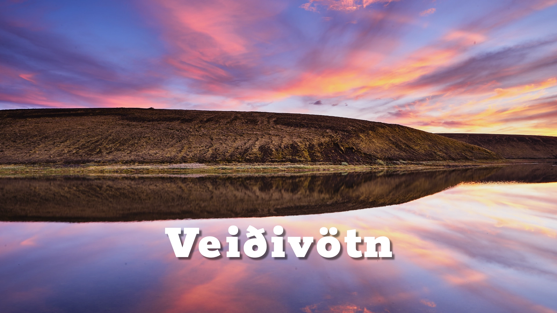
Veiðivötn (“the Fishing Lakes”) is a compact wilderness of roughly fifty crater lakes in Iceland’s central highlands—born from fire in 1477 and still defined by porous lava, hidden groundwater, and a stark beauty that feels both scientific and soulful.
The location of Veiðivötn in the highlands of Iceland
Latitude
64.1197
Longitude
-18.7976
Veiðivötn in the highlands of Iceland
Landscape, age, and the shape of the place
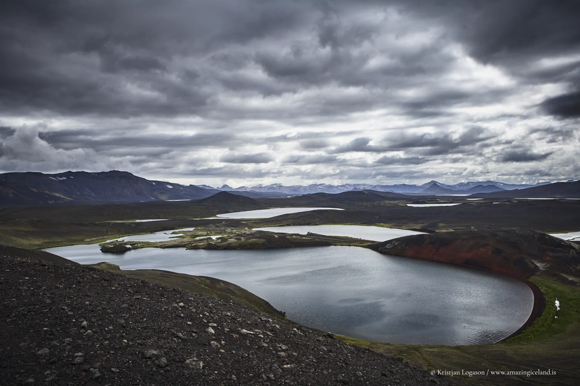
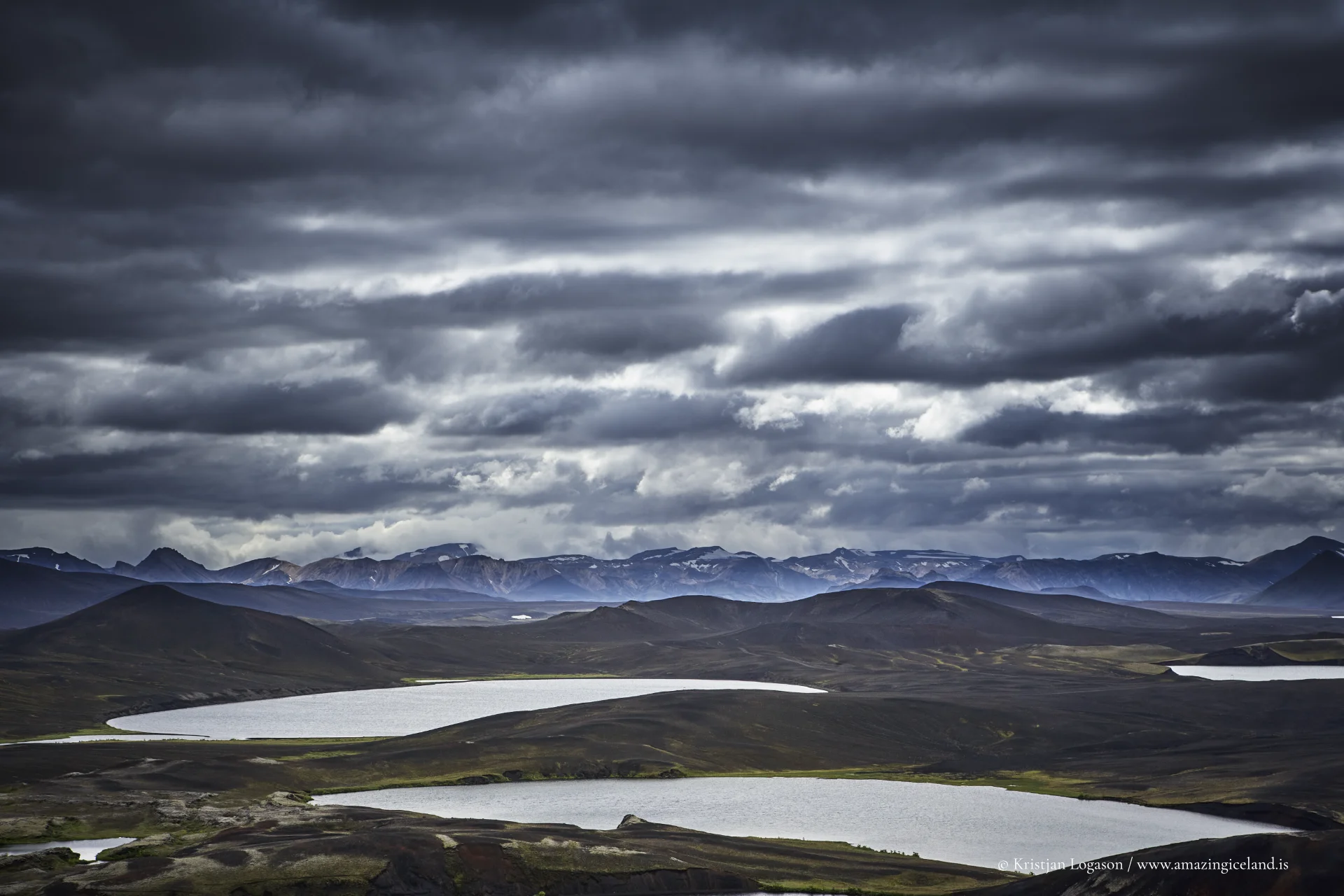
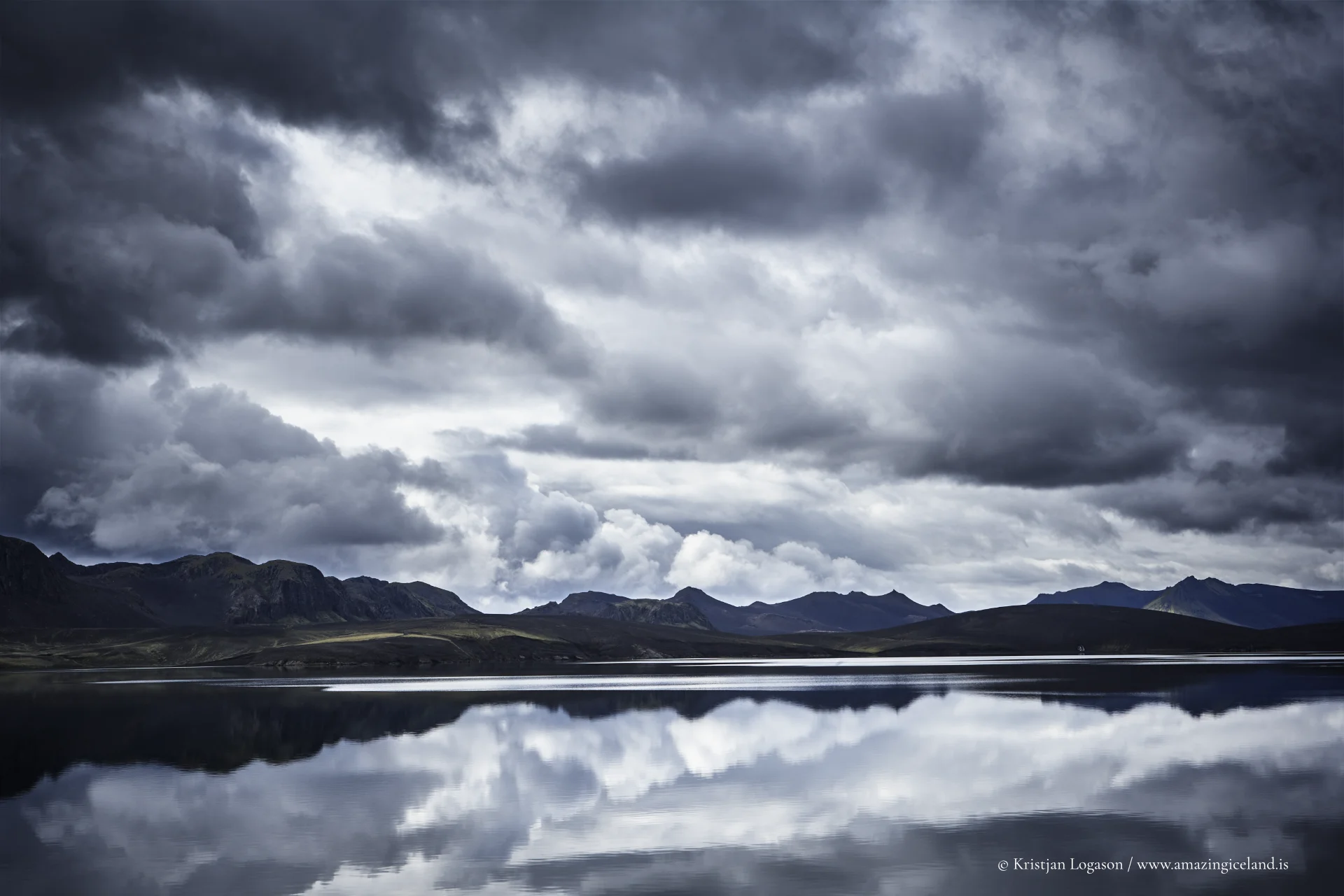
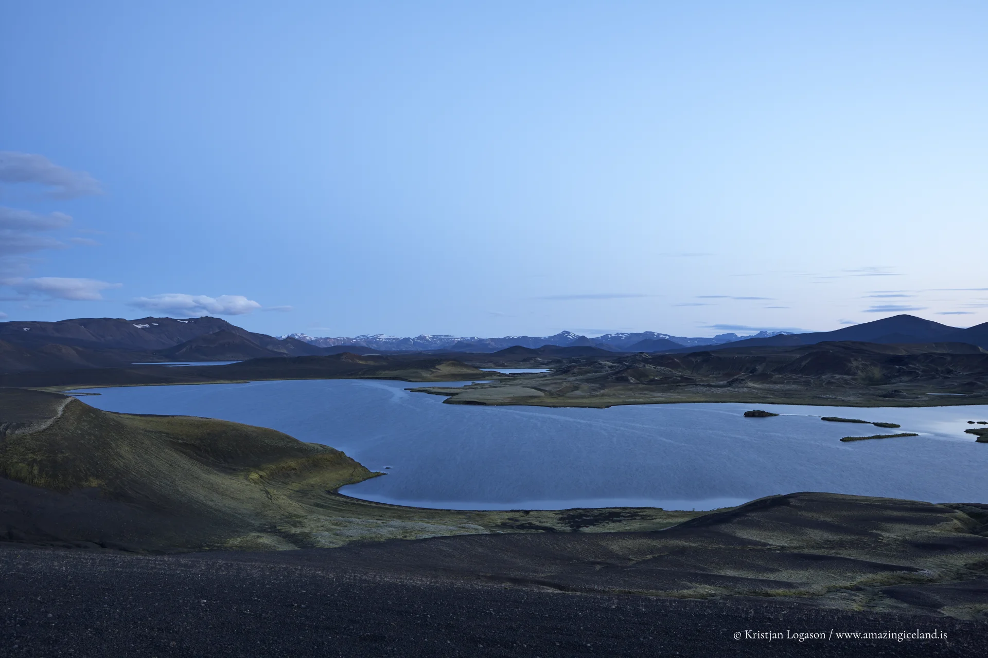
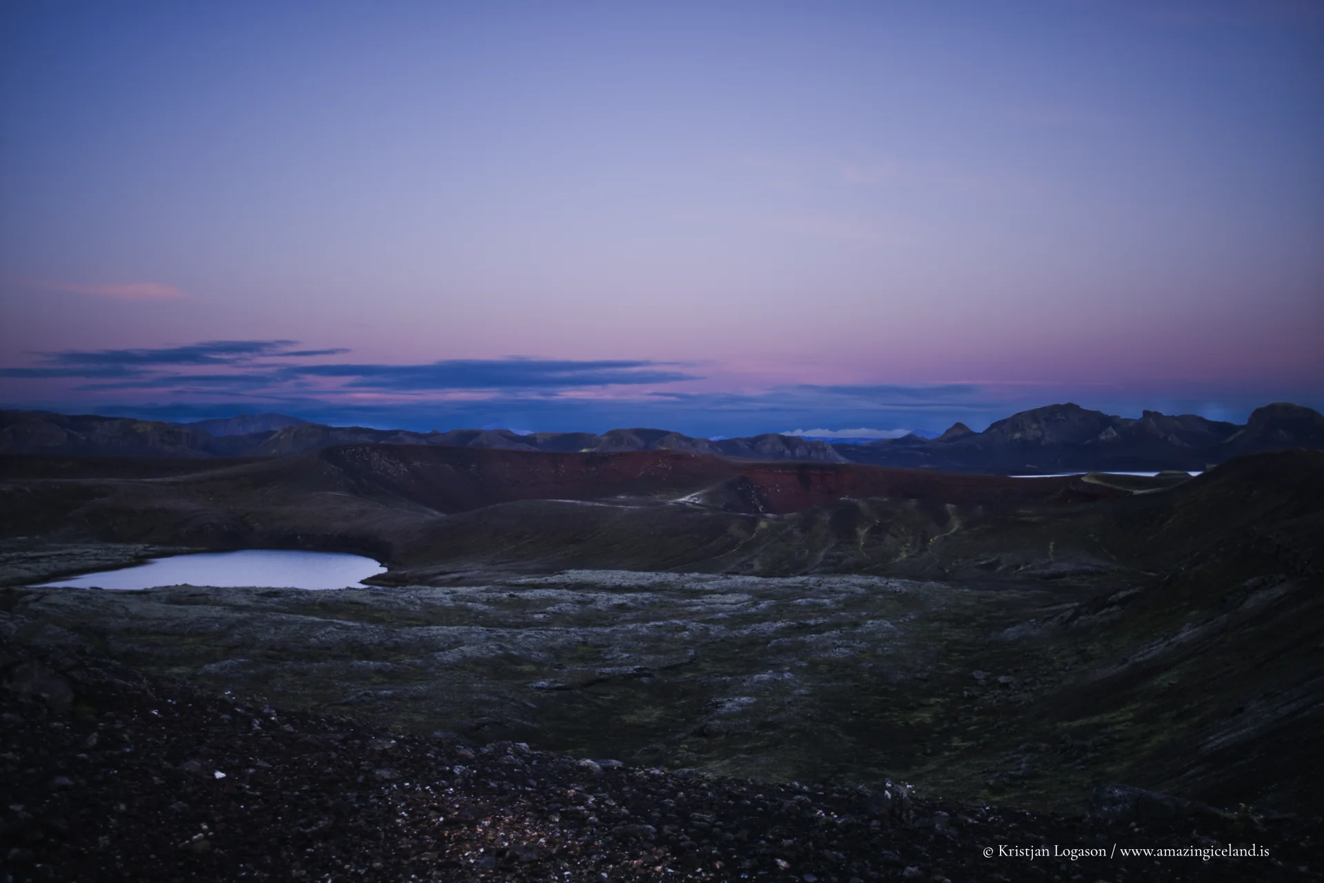
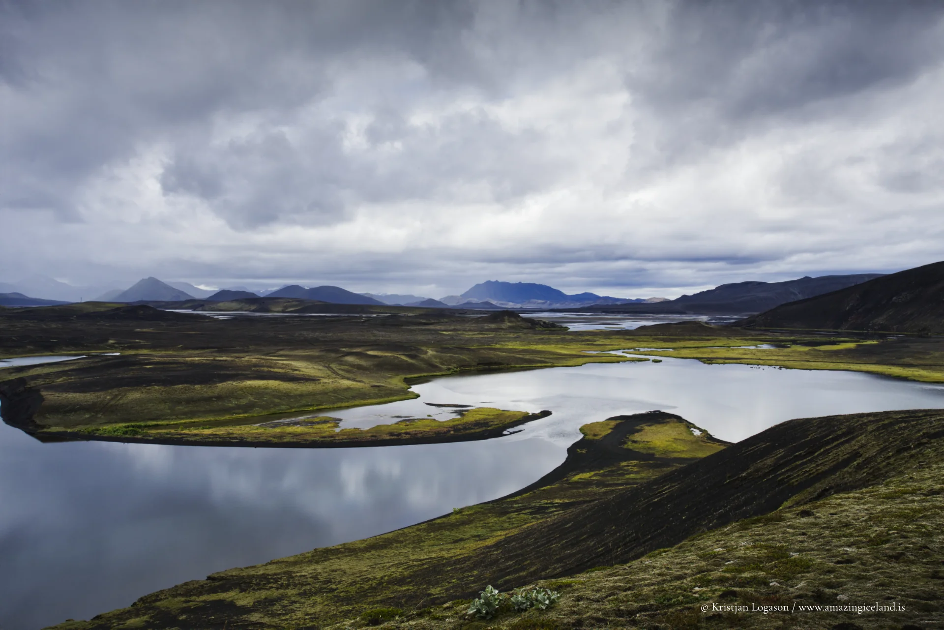
Veiðivötn sits in the interior highlands of South Iceland, a lake district that is as much a volcanic archive as it is an angling destination. The region’s modern landscape is typically linked to the 1477 Veiðivötn fissure eruption—an explosive basaltic event often described as among Iceland’s largest in historical time (commonly classified around VEI 6). The outcome is visible at walking pace: a chain of craters and vents, many of them now water-filled, arranged in two parallel rows that give the area its distinctive geometry.
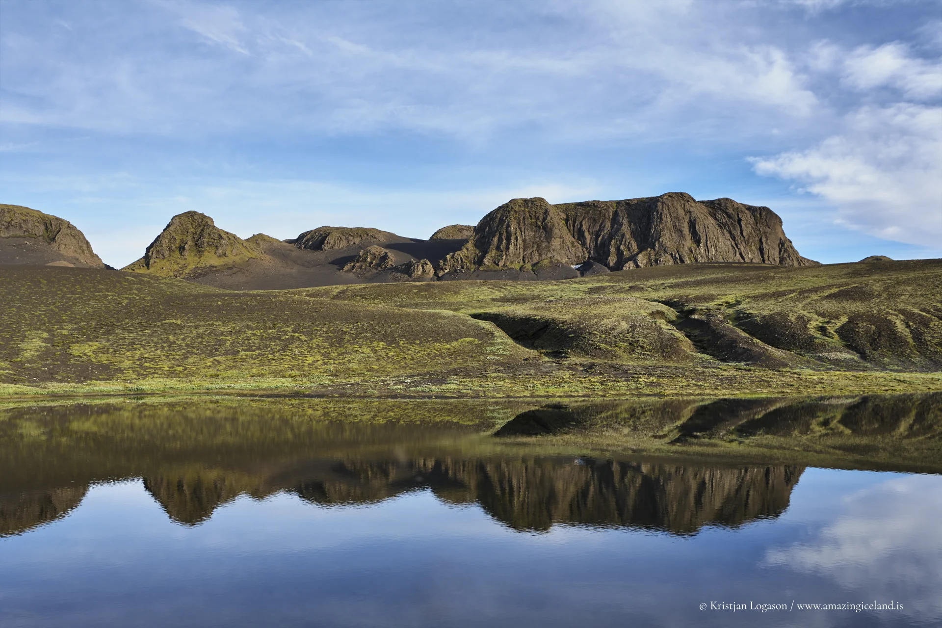
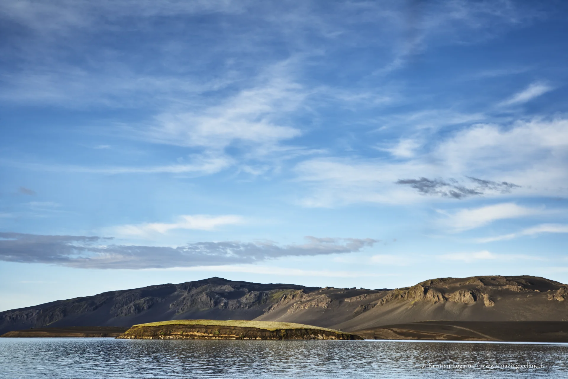
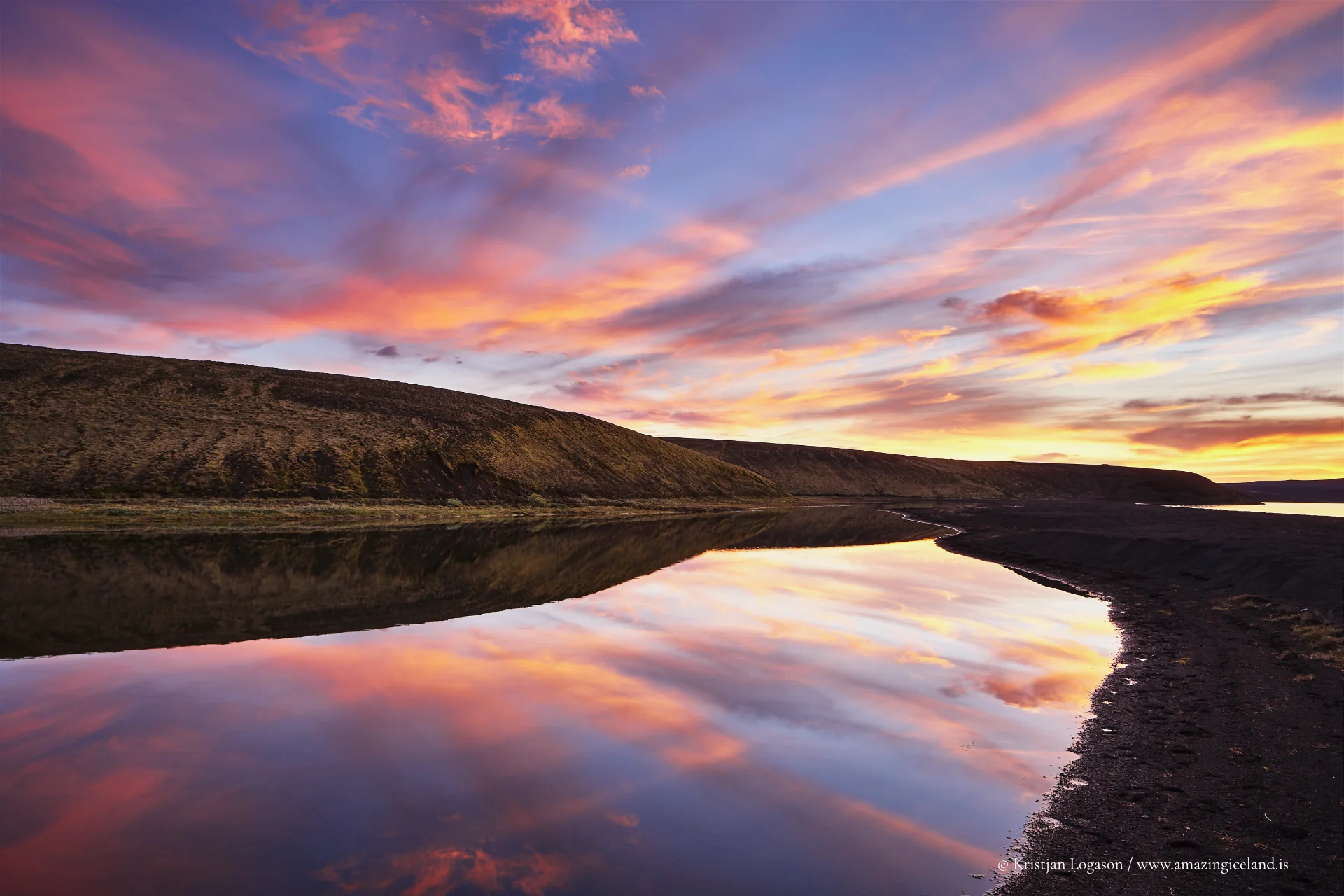
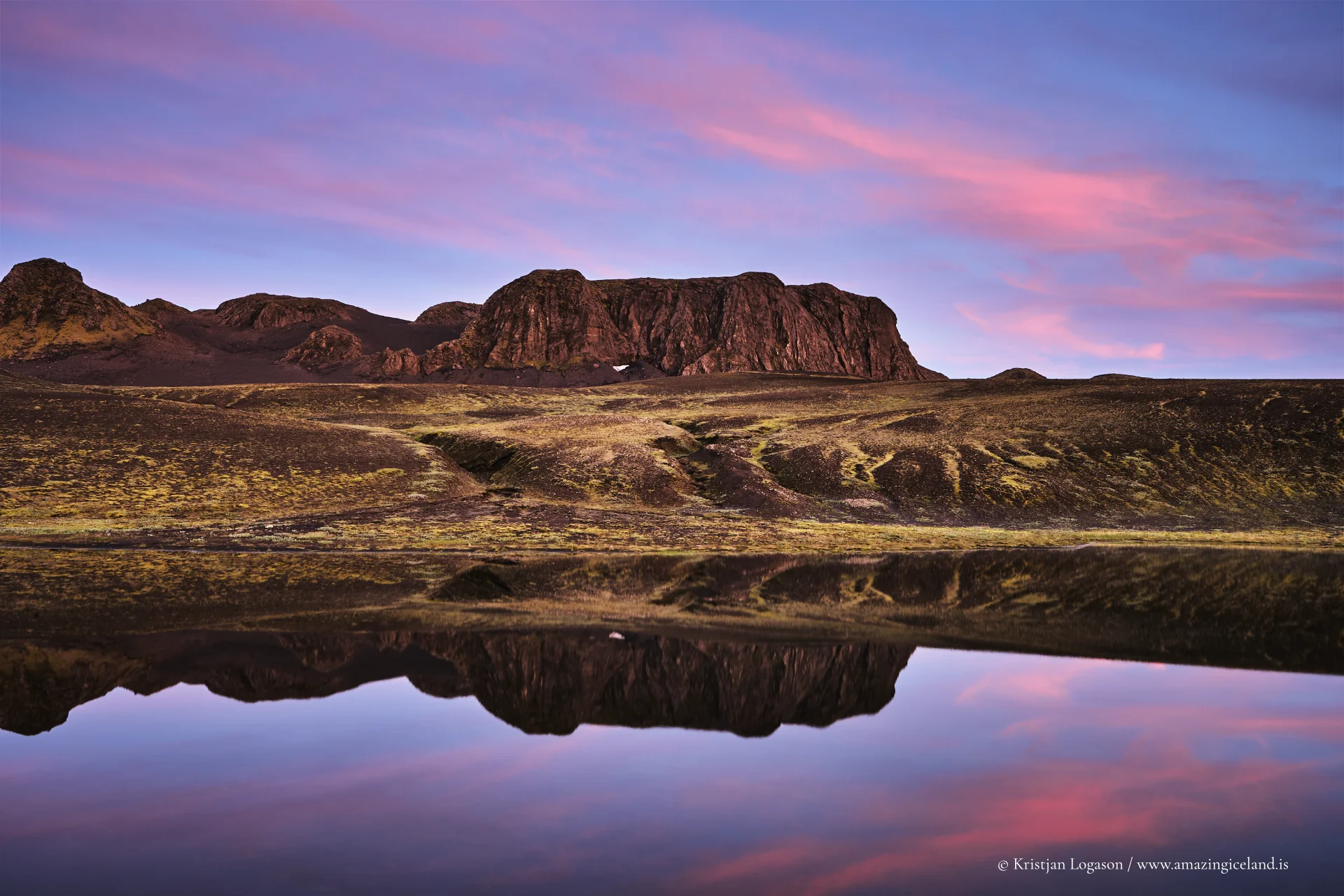
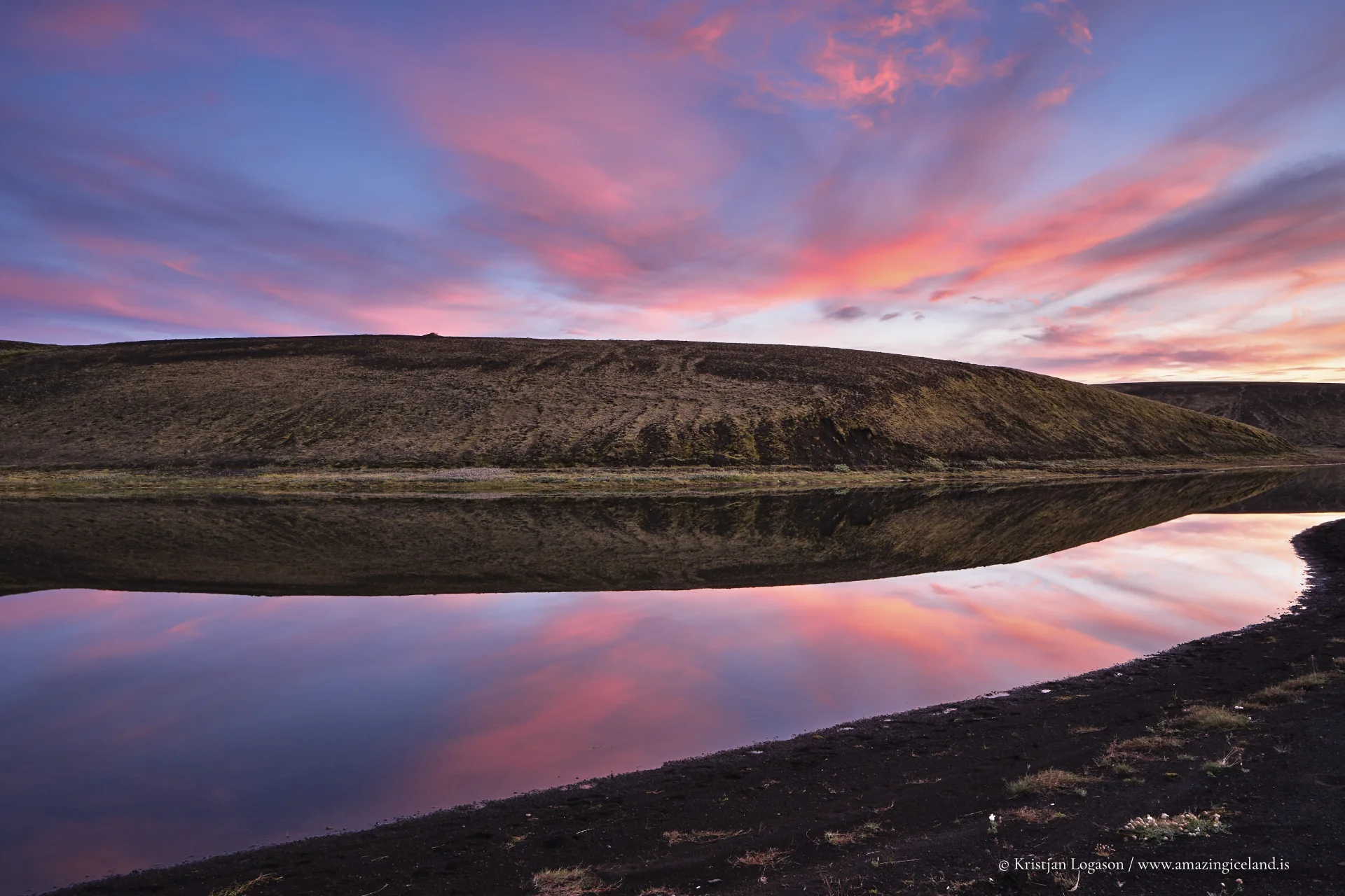
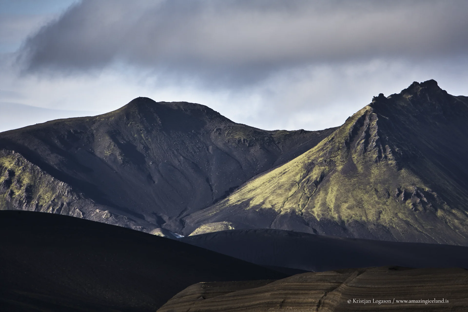
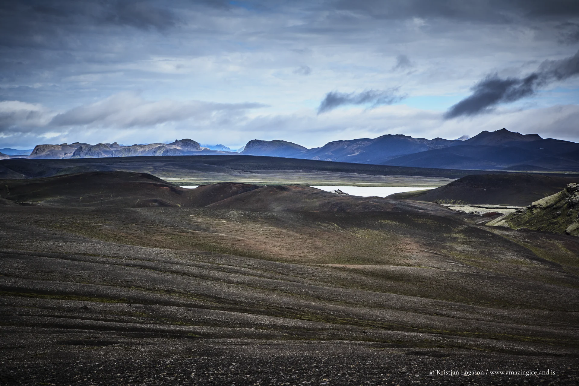
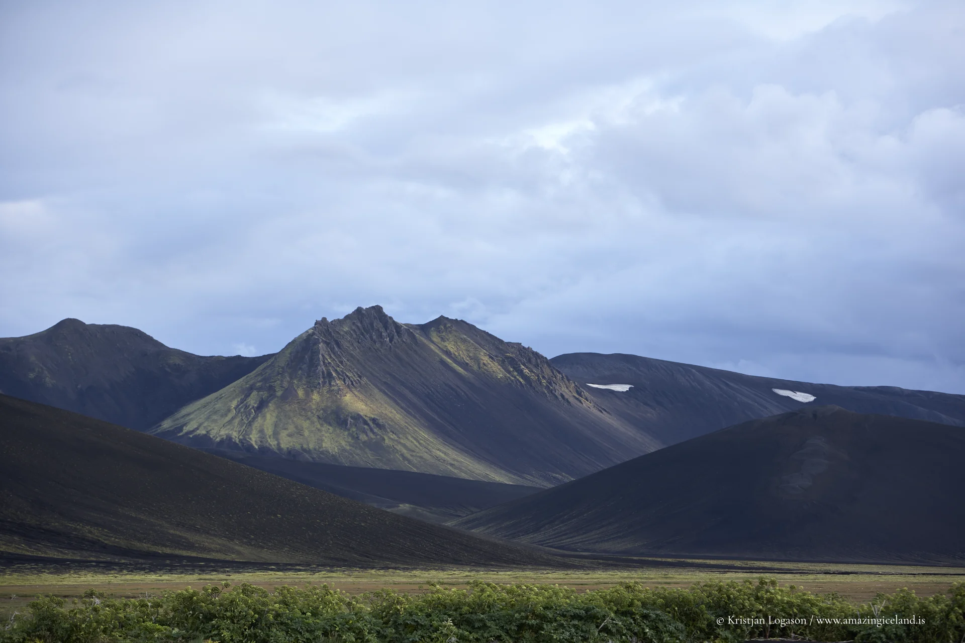
What makes Veiðivötn feel so “alive,” geologically speaking, is the way water and lava still negotiate the terms of the landscape. Much of the surrounding ground is highly permeable—lava fields and scoria that drink meltwater and rain quickly—so many lakes are fed and drained largely through subsurface pathways rather than obvious surface streams. This permeability also shapes the visual character of the region: dark tephra and lava textures, sparse surfaces, and then—suddenly—small vegetated oases where moisture lingers and wind finds a lee.
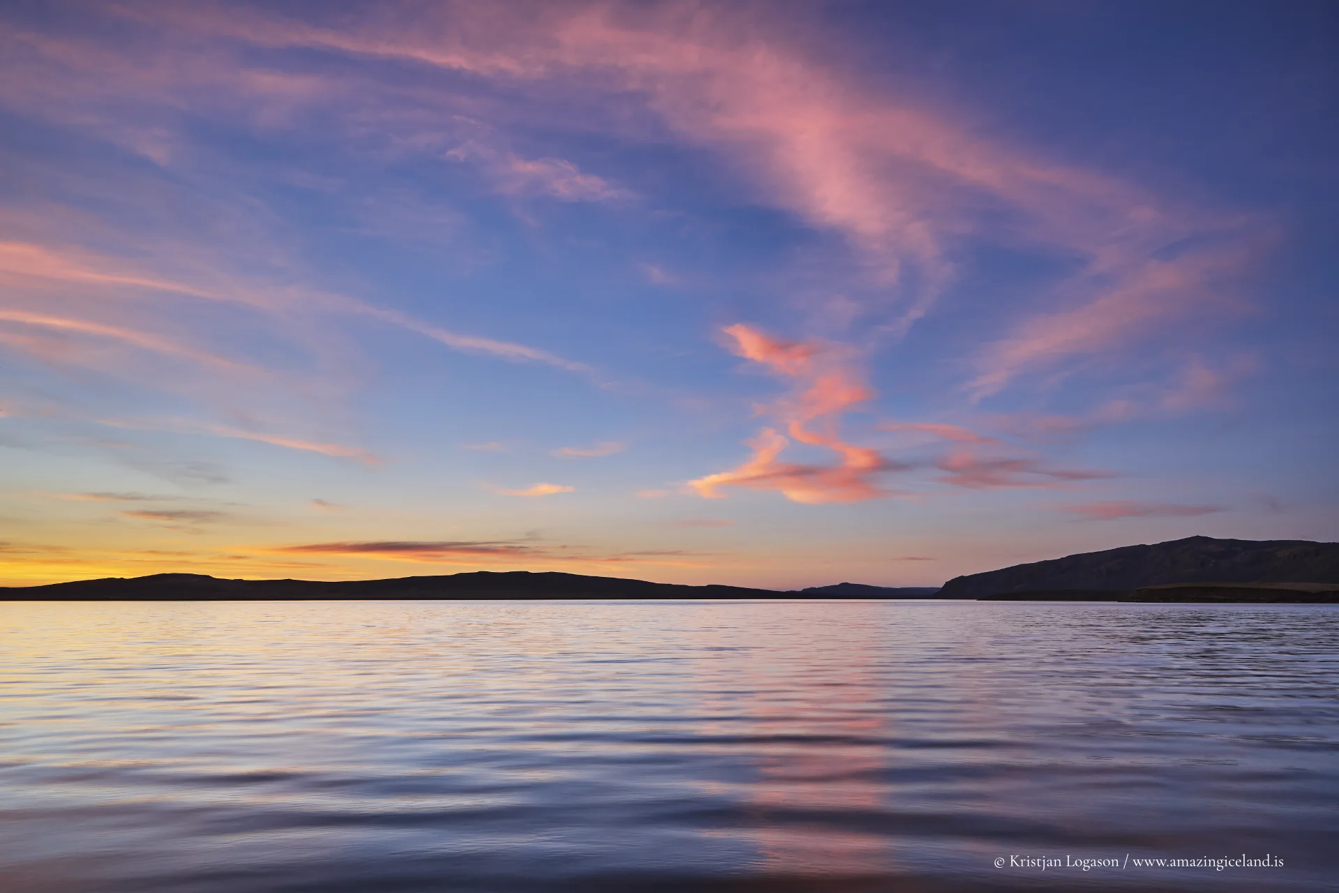
In map terms, Veiðivötn is often described as roughly 20 km long and about 5 km wide, trending southwest–northeast. That scale matters: it’s big enough to feel like a true expedition zone, yet contained enough that the lakes repeat and rhyme—crater rims, black sands, shallow shelves, and the occasional green pocket that looks almost impossible in this kind of terrain. The northeastern lakes are commonly referred to as Hraunvötn (“lava lakes”), which is exactly what they feel like: water pooled in a young, dark volcanic skin.
Access, huts, and how people actually move through Veiðivötn
Veiðivötn is not a place you “drop by.” It’s a highland destination that demands intent, good conditions, and the right vehicle.
Access to Veiðivötn is via highland routes that require suitable vehicles and favorable conditions. As with all travel in Iceland’s central highlands, routes and accessibility are subject to seasonal and environmental change.
That one fact sets the tone— this is Iceland’s interior, where routes are negotiated rather than guaranteed, and where the day’s plan should always include a margin for weather and water.
The wider setting is equally dramatic. Not far to the northeast lies Vatnajökull, Europe’s largest ice cap, and the road network in this part of the highlands links lake country to glacier country in a way that feels almost unreal on the ground. Jökulheimar—an established hut area used historically as a base for excursions on Vatnajökull—sits north of the lakes near Tungnaárjökull (a valley glacier flowing from the ice cap), reinforcing how tightly braided the region is: volcanic deserts, groundwater lakes, and glacial margins in one connected field of experience.
There is also a hut and facility presence associated with the lake area itself (including sites around Tjaldvatn), reflecting long use by anglers and highland travelers who need shelter in a landscape with few natural hiding places.
Veiðivötn is remote, but it’s not empty of human tradition. The “infrastructure” is modest and functional—more survival-grade than comfort-grade and it exists because the area rewards repeated visits and long stays.
Fishing ecology, management, and why the lakes feel so generous
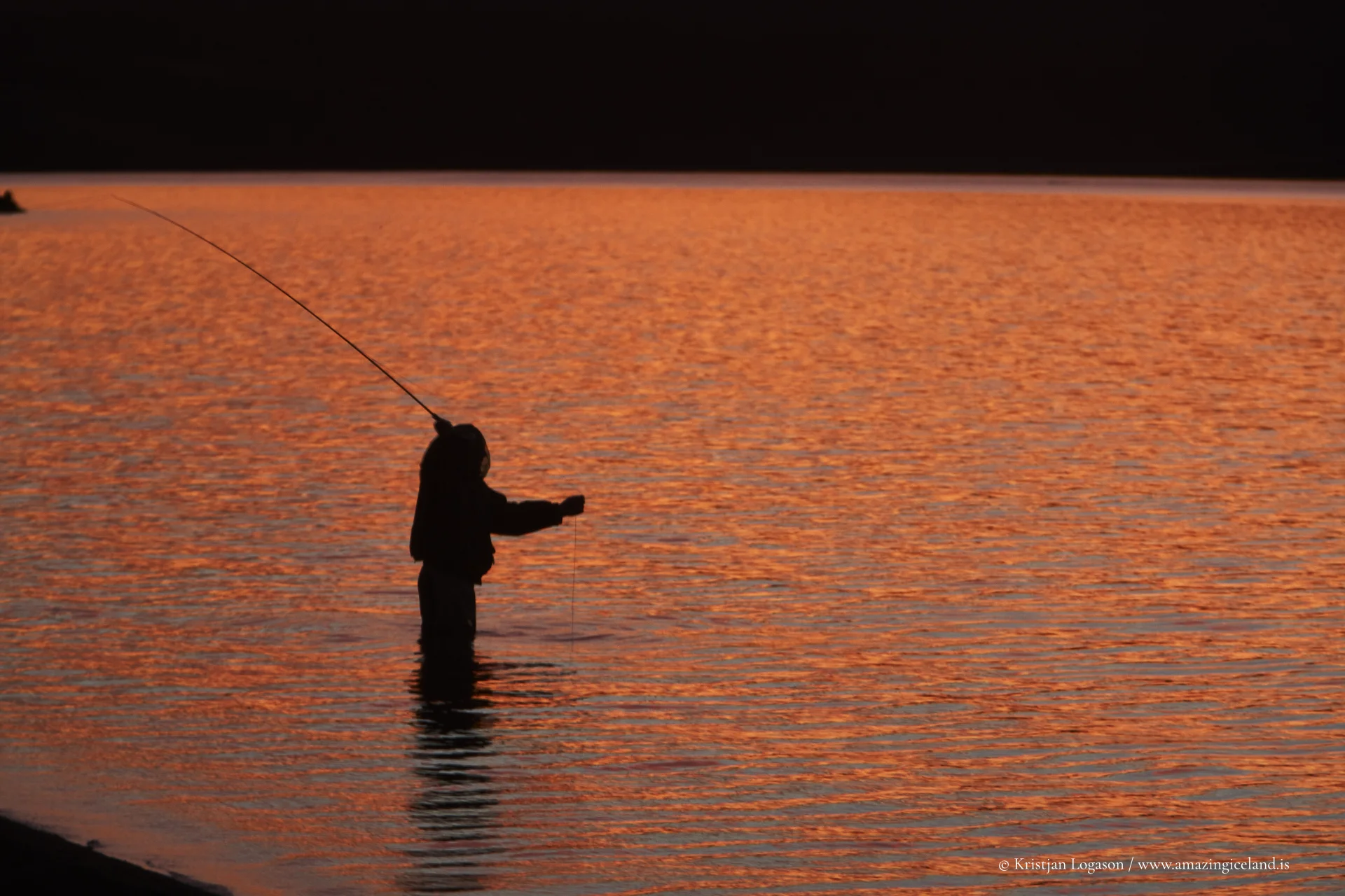
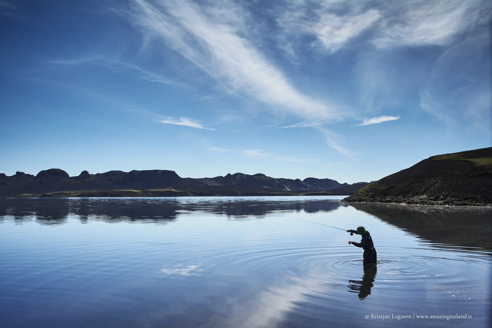
Veiðivötn’s reputation is inseparable from trout. Brown trout are recorded as a key target species across many of the lakes, and the area is widely promoted for strong trout fishing in a setting that feels almost too raw to be productive, until you see how the food web concentrates along sheltered shores, in inlets, and over shallow shelves warmed by short highland summers.
Local management practices are part of that story. Fishing rights in Iceland are private, and in lake districts like this, owners may use netting as a management tool late in the season—both for harvest and, in some descriptions, to influence size structure by removing certain cohorts.
Arctic char have also been introduced to some waters historically, and reports note that char catches have increased in parts of the broader area.
Ecologically, Veiðivötn is a lesson in contrasts: porous volcanic ground that drains quickly, yet lakes that persist; black desert tones, yet bright bands of moss and grass where microclimate allows; and cold water that still produces heavyweight fish. Size claims vary by lake and season, but it’s common to hear of trout in the 2–6 lb range, with occasional larger individuals reported by anglers.
(And yes—stories of “double-digit” browns circulate here, which is exactly the kind of myth-and-data blend that keeps a place famous.)
Disturbance, resilience, and ecological recovery
A significant disturbance event in the history of Veiðivötn occurred in 1918, when the eruption of Katla deposited volcanic ash across large parts of the interior. According to local accounts and fishing records, the ash fall had a severe impact on the area: vegetation was largely destroyed, and fish catches declined abruptly for an extended period. The lake ecosystem, closely tied to sparse highland soils and fragile plant communities, proved highly vulnerable to this sudden environmental stress.
What followed, however, is one of the more striking examples of natural recovery in Iceland’s highlands. Despite the near-total loss of vegetation after the eruption, plant life returned relatively quickly, re-establishing itself in sheltered depressions, along lake margins, and within small oases scattered across the lava fields. As vegetation recovered, so too did aquatic productivity, and fish stocks gradually returned to sustainable levels.
This rapid regeneration reflects both the resilience of Icelandic ecosystems and the particular character of Veiðivötn itself. The area’s porous lava and scoria allow water to circulate efficiently underground, while nutrient input from volcanic material contributes—over time—to renewed biological activity. Today, the lakes once again support healthy trout populations, and the landscape shows little outward sign of the devastation recorded just over a century ago.
Veiðivötn therefore stands as a living example of a recurring Icelandic theme: landscapes shaped by extreme events, temporarily stripped back to their foundations, yet capable of remarkable recovery once conditions stabilize. The area appears young not only because it was formed in historical time, but because its surface has been repeatedly reset and rewritten by volcanic forces. Its present wildness is not an absence of history, but the visible memory of how recently that history occurred.
Interesting facts:
-
- Name with purpose: Veiðivötn literally means “Fishing Lakes.”
- Born in 1477: The region’s present lake-filled crater rows are tied to the 1477 Veiðivötn fissure eruption, a major event in Iceland’s volcanic record.
- Two-row layout: The lakes and craters commonly form two parallel rows, giving the area its signature pattern.
- Hidden plumbing: Many lakes are fed and drained underground due to highly permeable lava and scoria.
- A defined footprint: Often described at about 20 km by 5 km, aligned SW–NE.
Image Gallery



The Locomotive Elite
What do Donald Trump and Iceland’s Locomotive Elite have in common?
Far more than you think.
In The Locomotive Elite, you’ll uncover how a tiny clique in Iceland captured extensive control—of banks, courts, media, and even the central bank.
For decades they ruled, first democratically, then through corruption and in the end through crime, enriching themselves and their cronies while dismantling oversight.
The result?
One of the most spectacular financial collapses in modern history.
Photography tips:
- Tell the geology story: Shoot from crater rims or gentle rises to show the “two rows” structure—compose with repeating lakes leading the eye into the desert tones.
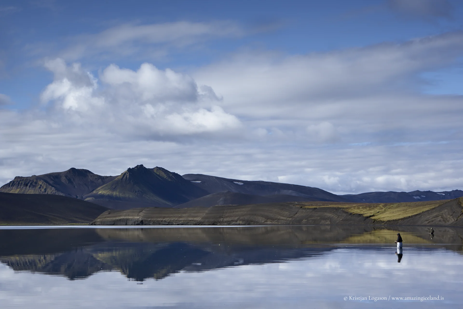
- Use scale sparingly: A lone angler, a small hut, or a vehicle (kept minimal in-frame) makes the vastness readable without turning it into a road-trip cliché.
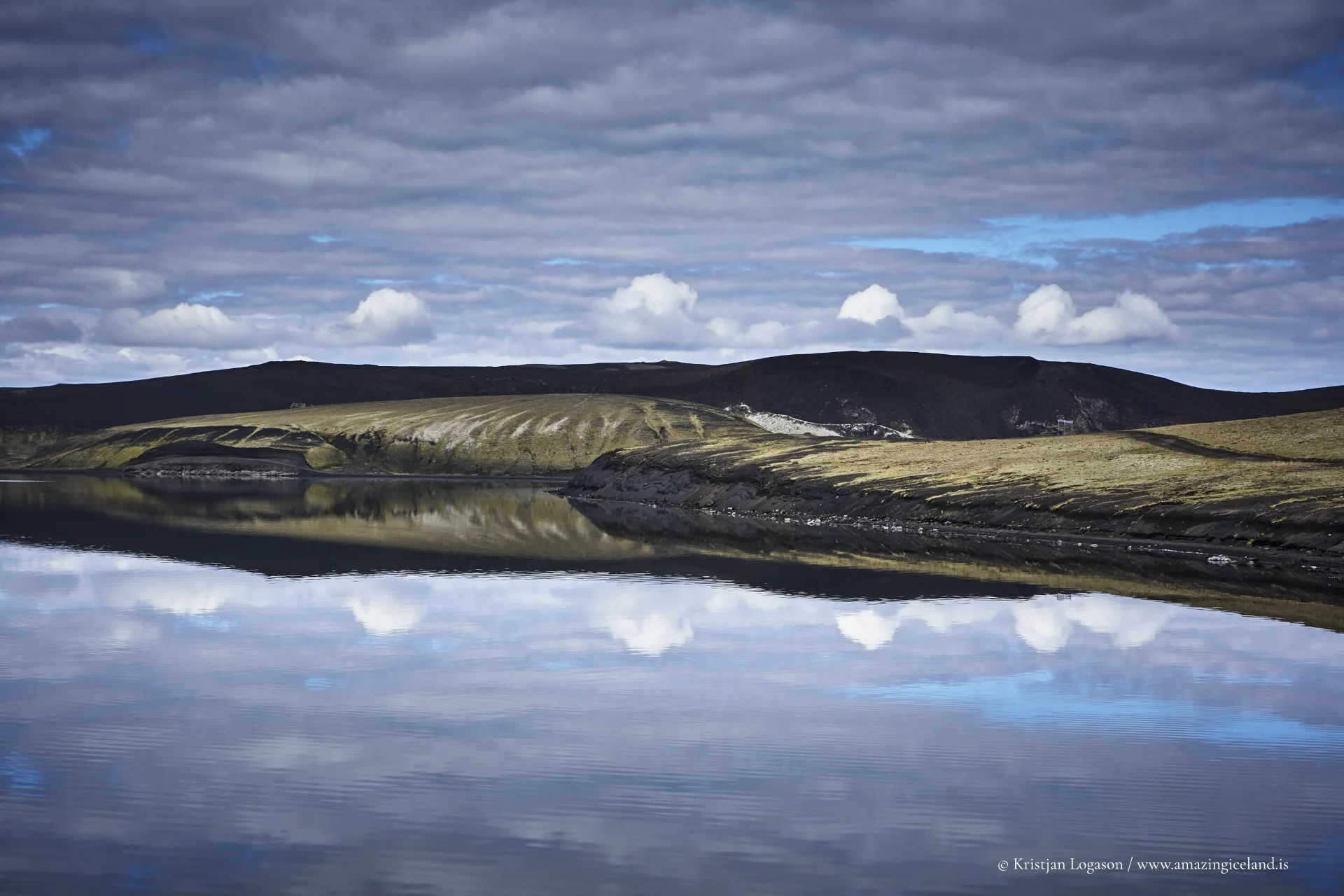
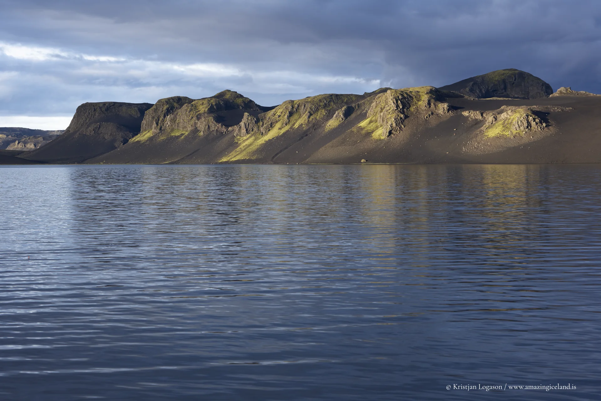
- Work the micro-oases: The small vegetated pockets are your color theory cheat code—use them as foreground accents against black scoria and pale water.
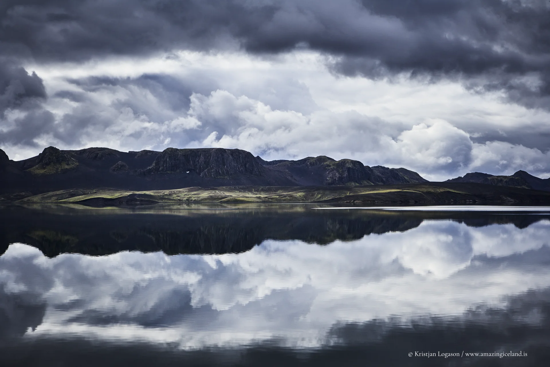
- Polarizer discipline: A CPL can deepen water tone and cut glare, but don’t overdo it—some reflection helps communicate wind, weather, and the highland mood.
- Plan for harsh light and fast change: Highlands weather flips quickly; keep a lens cloth handy (ash-like dust and drizzle both happen), and shoot “between conditions” when the sky breaks.
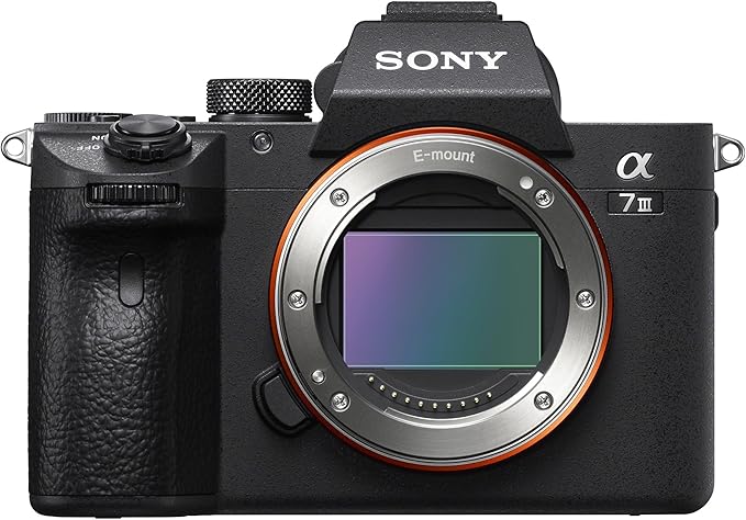
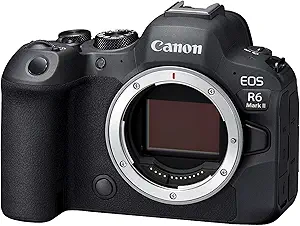
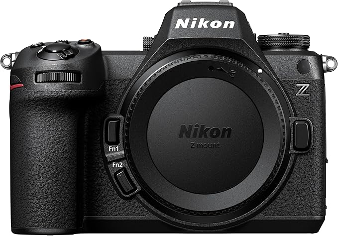
Good cameras for Iceland
Sony A7R V
Sony A7s lll
Canon R6
Nikon Z6 lll
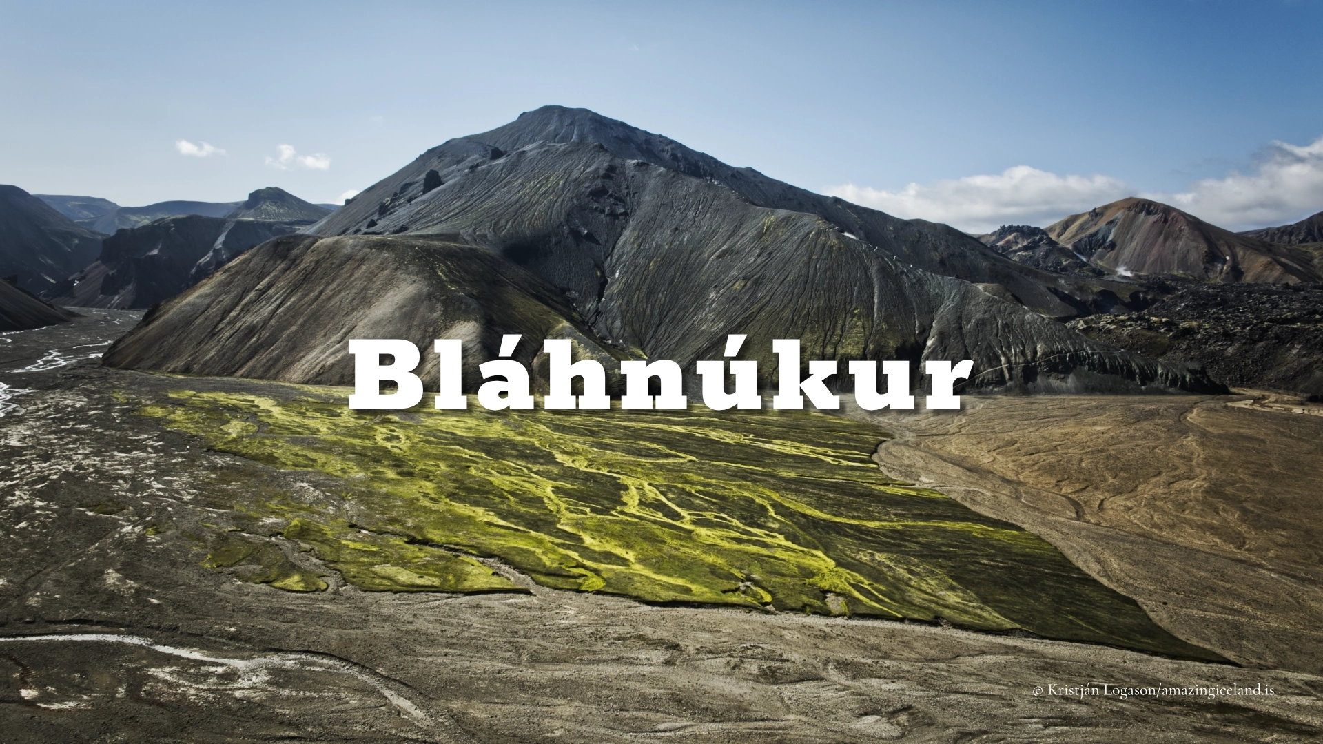
Destinations nearby
Good to have in Iceland