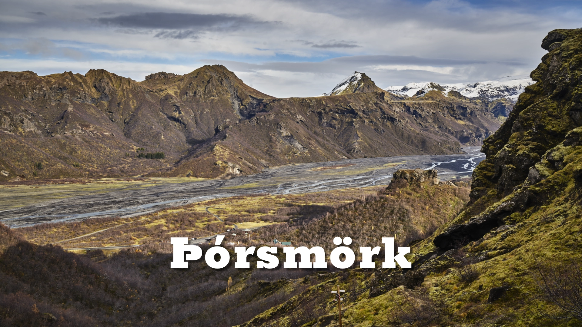
In South Iceland’s interior, between the outlet glaciers of Mýrdalsjökull and Eyjafjallajökull, Þórsmörk forms a rare sheltered basin shaped by ice, water, and volcanic topography. Named after the Norse god Þór, the valley is defined not by exposure, but by enclosure—an anomaly within Iceland’s highlands.
The location of Þórsmörk valley
Latitude
63.6814
Longitude
-19.4790
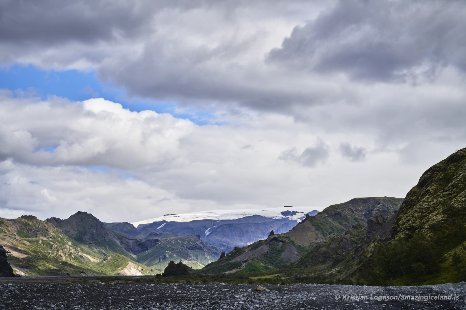
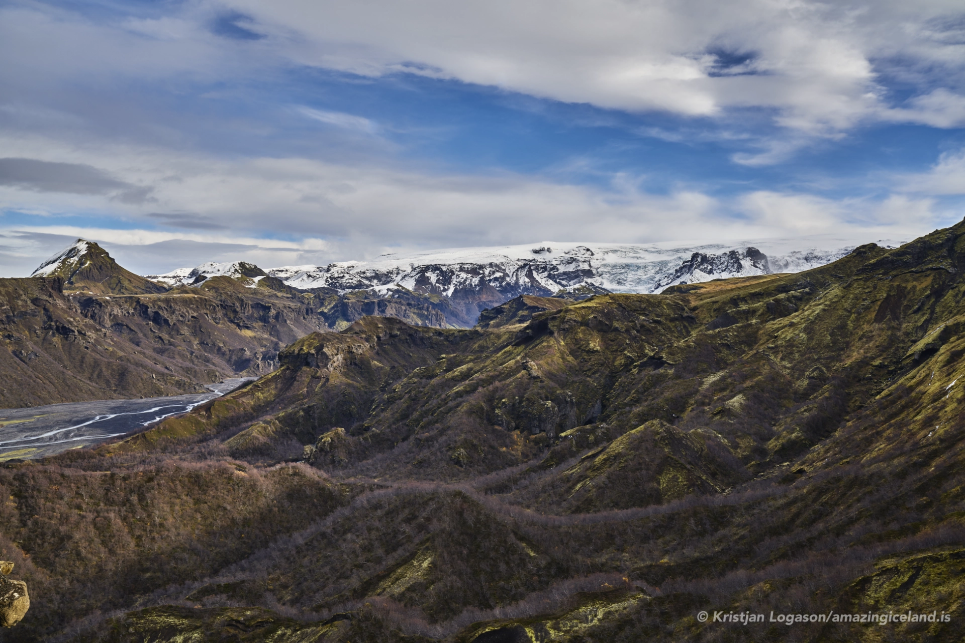
Þórsmörk valley
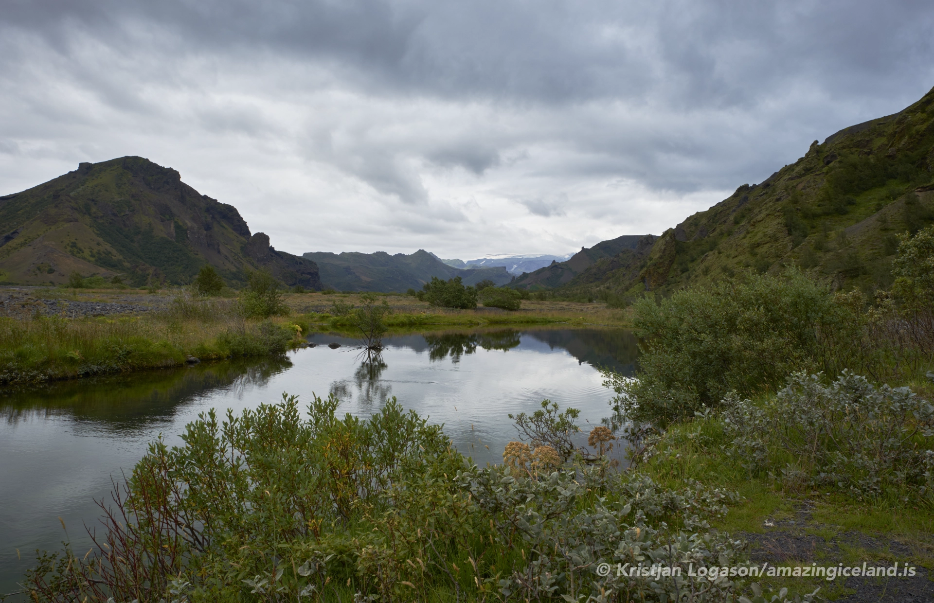
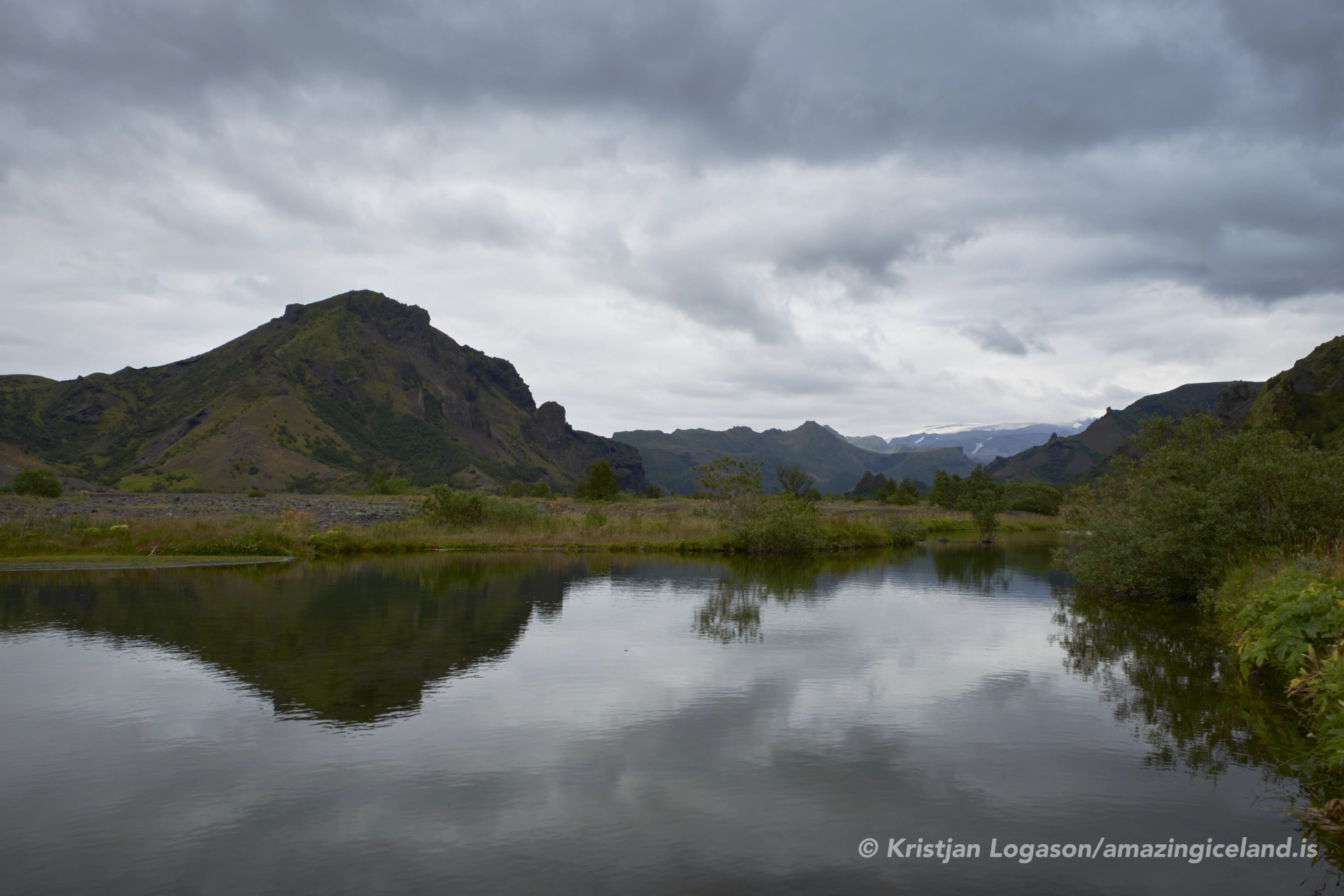
Þórsmörk is situated north of the South Coast lowlands, enclosed by glaciers and steep mountain ridges that form a natural barrier against prevailing winds and weather systems. This enclosure creates a distinct microclimate, significantly warmer and calmer than surrounding highland areas. As a result, vegetation is unusually dense for its latitude and elevation, with extensive birch woodland, mosses, and ground cover dominating the valley floor and lower slopes.
Geologically, Þórsmörk is a product of interaction rather than singular force. Glacial erosion carved surrounding valleys, while volcanic activity from nearby systems shaped the bedrock and topography. Repeated jökulhlaups—glacial outburst floods—transported sediment into the basin, creating layered terraces and floodplains. Over time, these deposits stabilized, allowing soil development and plant colonization.
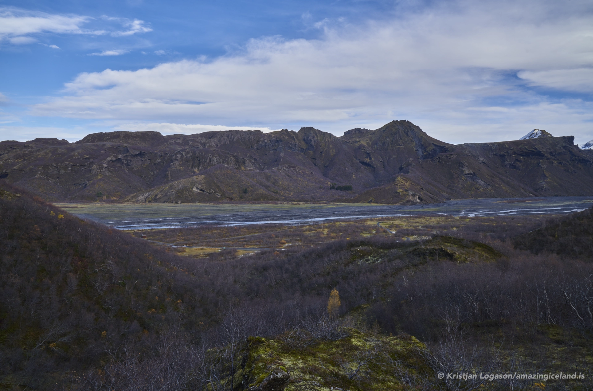
From a geomorphological perspective, Þórsmörk functions as a sediment trap. Material eroded from glaciers and mountains accumulates here rather than being immediately flushed to the lowlands. This accumulation underpins the valley’s ecological productivity and structural complexity.
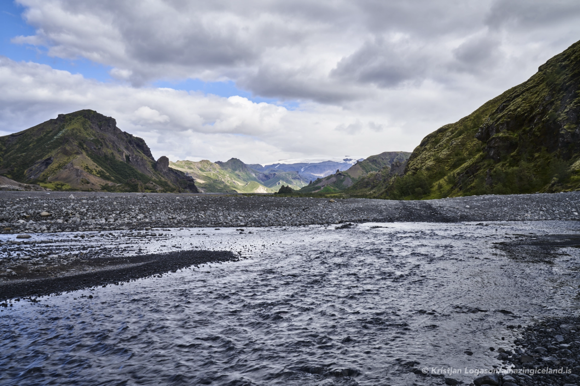
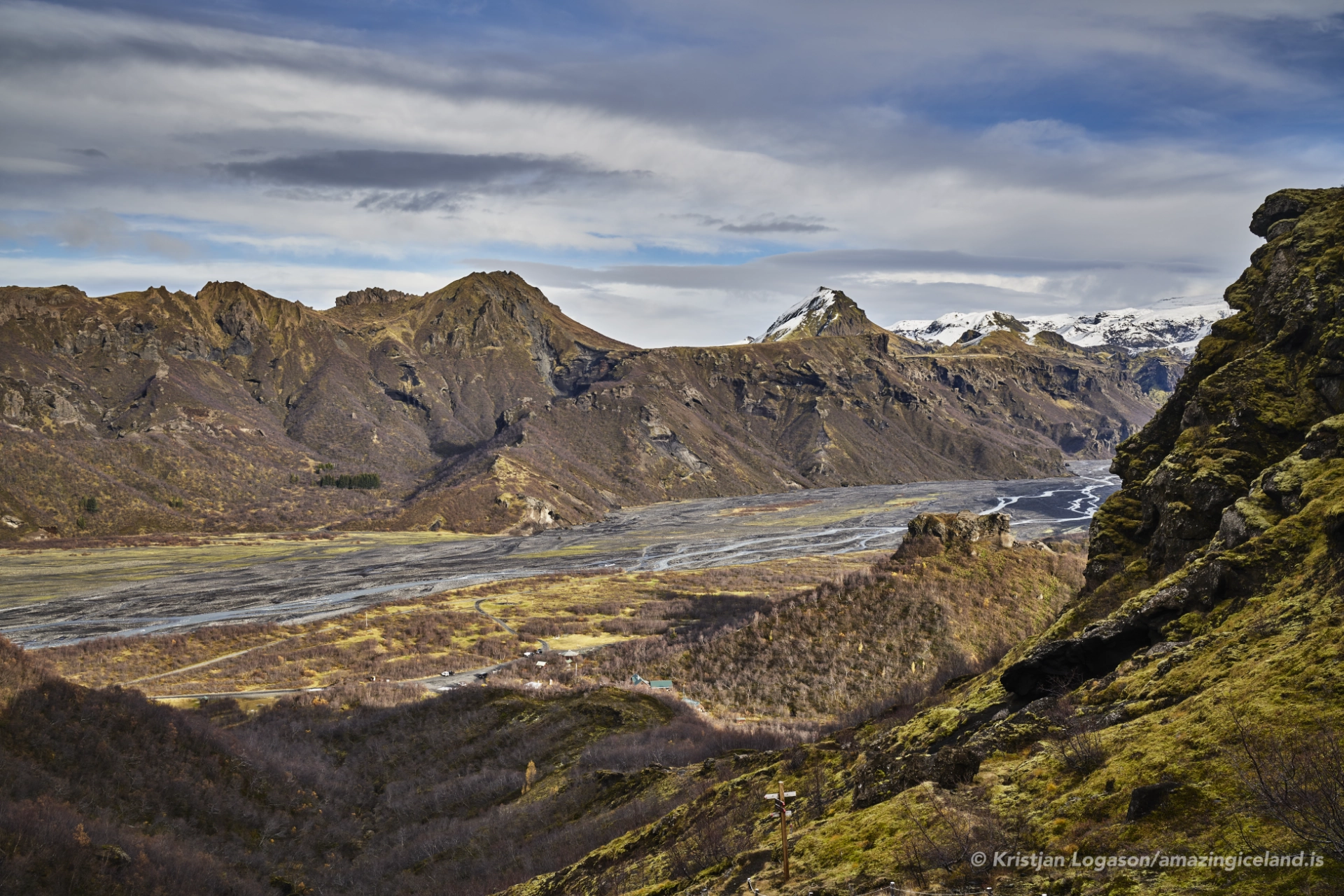
Three major glacial rivers define Þórsmörk’s internal dynamics: the Krossá, Þröngá, and Markarfljót. These rivers shift channels frequently, especially during periods of heavy melt or rainfall, reshaping floodplains and reinforcing the valley’s transient nature.
The rivers are both connective and divisive. They nourish vegetation and transport nutrients, yet they also limit access and movement. River crossings are hazardous and conditions change rapidly, underscoring the fact that Þórsmörk remains governed by natural processes rather than infrastructure.
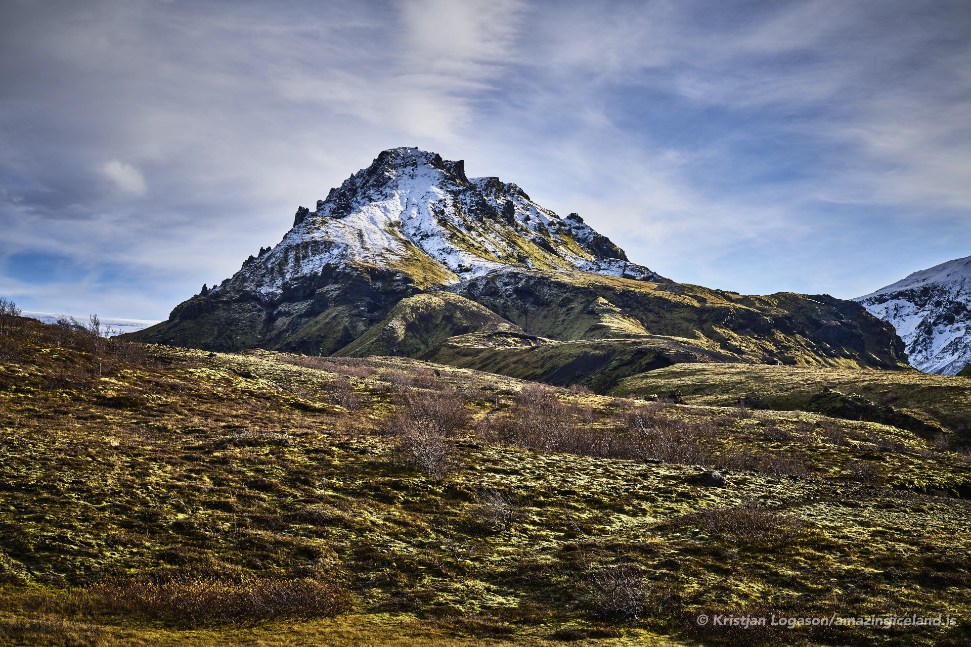
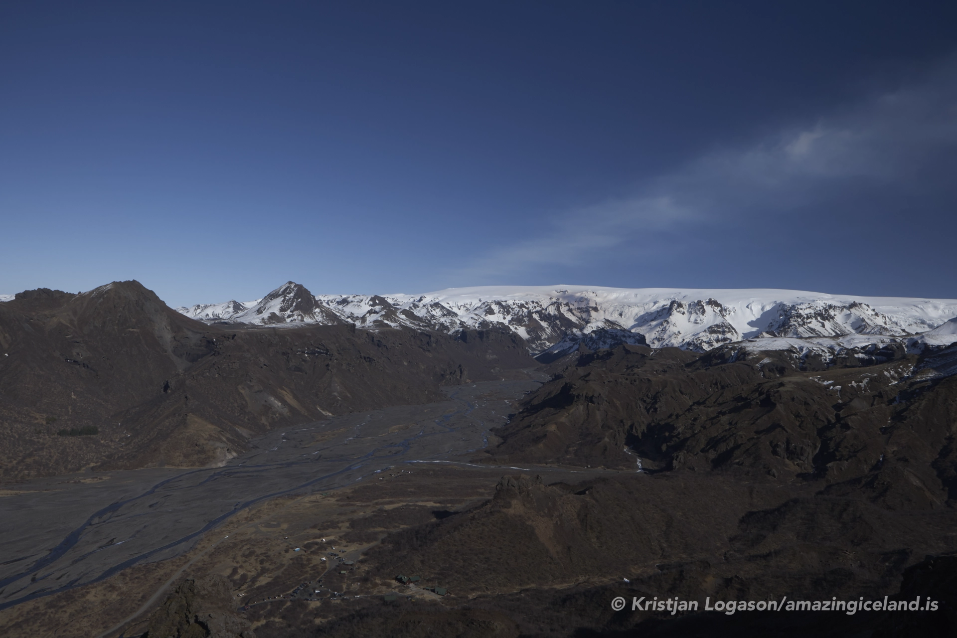
The surrounding glaciers maintain constant influence. Cold air drainage, sediment supply, and seasonal melt patterns link the valley’s internal systems directly to the ice above. Þórsmörk does not exist independently—it is sustained by what descends into it.
Ecologically, Þórsmörk is one of Iceland’s most significant inland habitats. The birch woodland (Betula pubescens) represents a remnant of pre-settlement forest cover that once extended across much of the country. Sheltered conditions allow trees to grow taller and denser than elsewhere, providing habitat for birdlife and stabilizing soils.
This ecological richness is fragile. Foot traffic, off-trail travel, and erosion can quickly damage vegetation that requires decades to recover. As a result, access within Þórsmörk is carefully managed through marked trails, designated camping areas, and seasonal restrictions.
Þórsmörk offers a rare opportunity to study ecological persistence under protection. It illustrates how modest changes in exposure and sediment dynamics can produce outsized differences in biodiversity within subarctic environments.
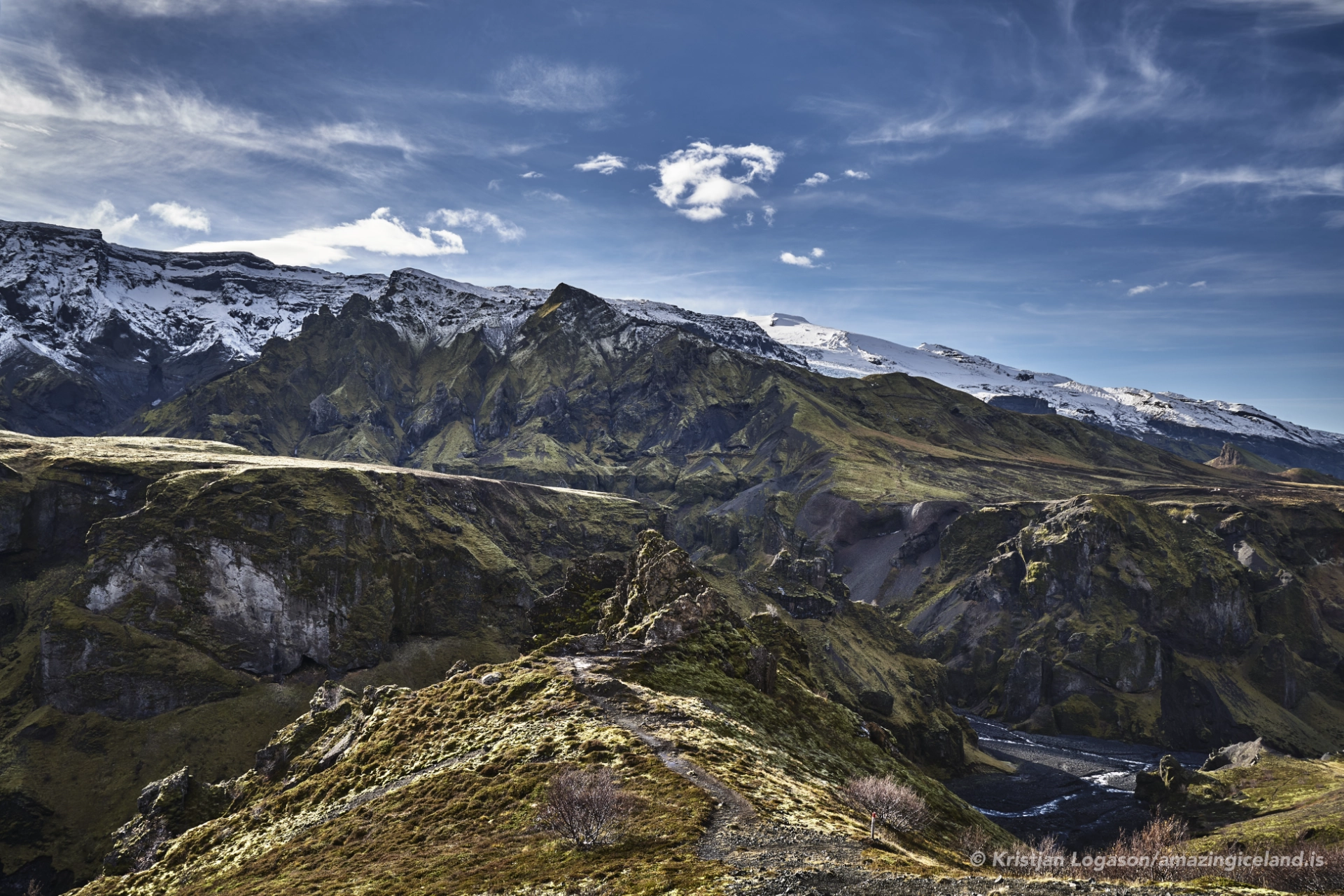
Culturally, Þórsmörk occupies a prominent place in Icelandic outdoor tradition. It has long been a destination for hikers and researchers rather than industrial use, reinforcing its identity as a space of engagement rather than extraction. The valley forms a central segment of the Laugavegur, linking it to broader narratives of movement through the highlands.
Despite its popularity, Þórsmörk has resisted overdevelopment. Infrastructure is minimal and functional, designed to support access without overwhelming the landscape. This restraint preserves the valley’s internal logic—rivers remain unbridged in places, and routes adapt to conditions rather than imposing permanence.
The name Þórsmörk itself—“Þór’s forest”—reflects a longstanding recognition of the valley as distinct. Whether interpreted mythologically or pragmatically, the name reinforces the idea of a protected space within a hostile wider environment.
Þórsmörk ultimately stands as an exception that proves the rule. In a country defined by exposure, the valley demonstrates what happens when land is allowed shelter. Its richness does not contradict Iceland’s broader character; it explains it.
Interesting facts:
- Þórsmörk lies between Eyjafjallajökull and Mýrdalsjökull.
- The valley hosts one of Iceland’s largest remaining birch woodlands.
- Rivers in Þórsmörk frequently change course due to glacial melt.
- The area forms a key section of the Laugavegur hiking route.
- Access is limited due to unbridged glacial rivers.
Image Gallery

The Locomotive Elite
What do Donald Trump and Iceland’s Locomotive Elite have in common?
Far more than you think.
In The Locomotive Elite, you’ll uncover how a tiny clique in Iceland captured extensive control—of banks, courts, media, and even the central bank.
For decades they ruled, first democratically, then through corruption and in the end through crime, enriching themselves and their cronies while dismantling oversight.
The result?
One of the most spectacular financial collapses in modern history.
Photography tips:
- Layer the scene: Foreground vegetation, mid-ground rivers, and glacial backdrops convey depth.
- Overcast advantage: Soft light preserves greens and avoids harsh contrast.
- Avoid river edges: Erosion is rapid—compose from stable ground.
- Seasonal intent: Late summer offers maximum vegetation; early autumn reveals structure.
- Respect scale: Mid-range lenses often communicate enclosure better than ultra-wide.
Good cameras for Iceland
Sony A7R V

Sony A7s lll

Canon R6

Nikon Z6 lll

Destinations nearby


Good to have in Iceland


