Snæfellsjokull glacier volcano on Snæfellsnes peninsula Iceland
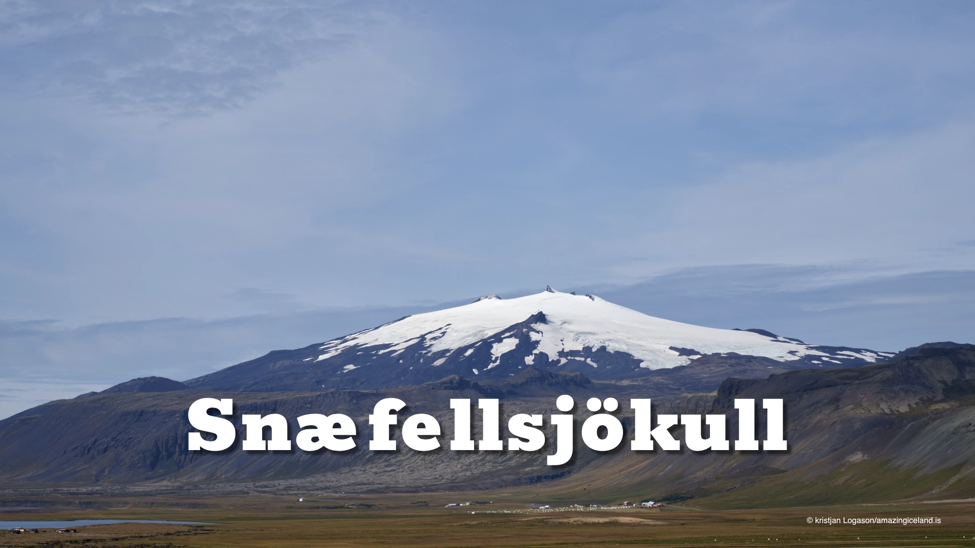
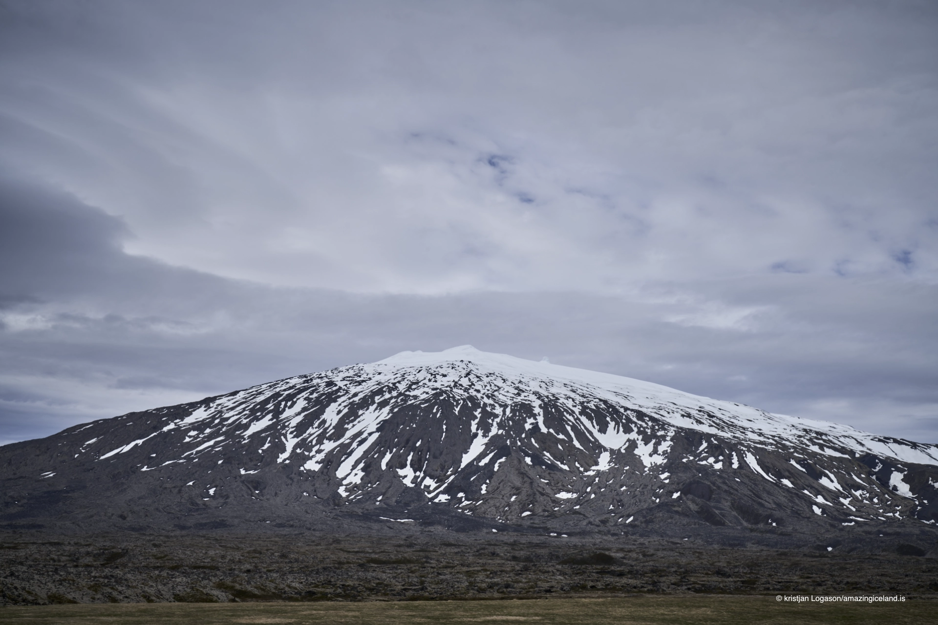
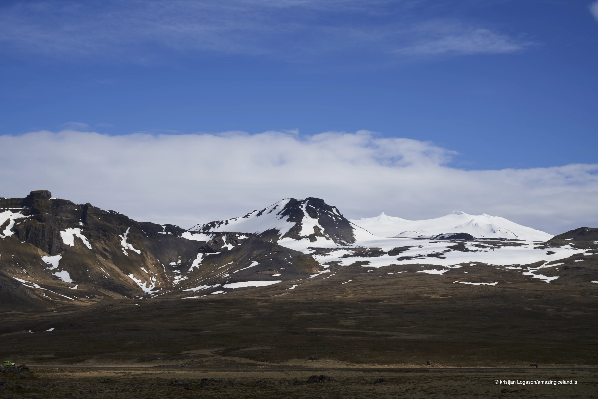
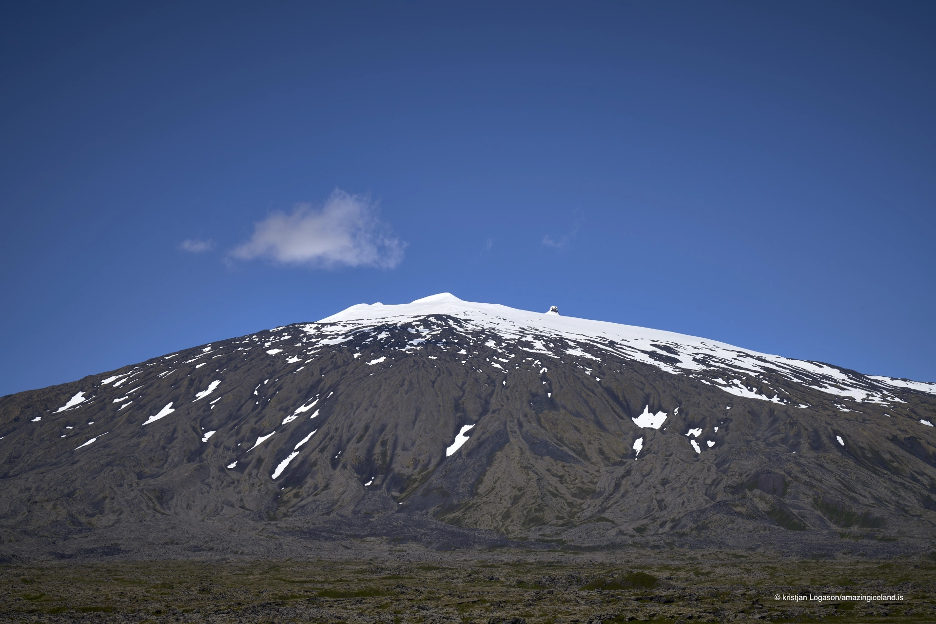
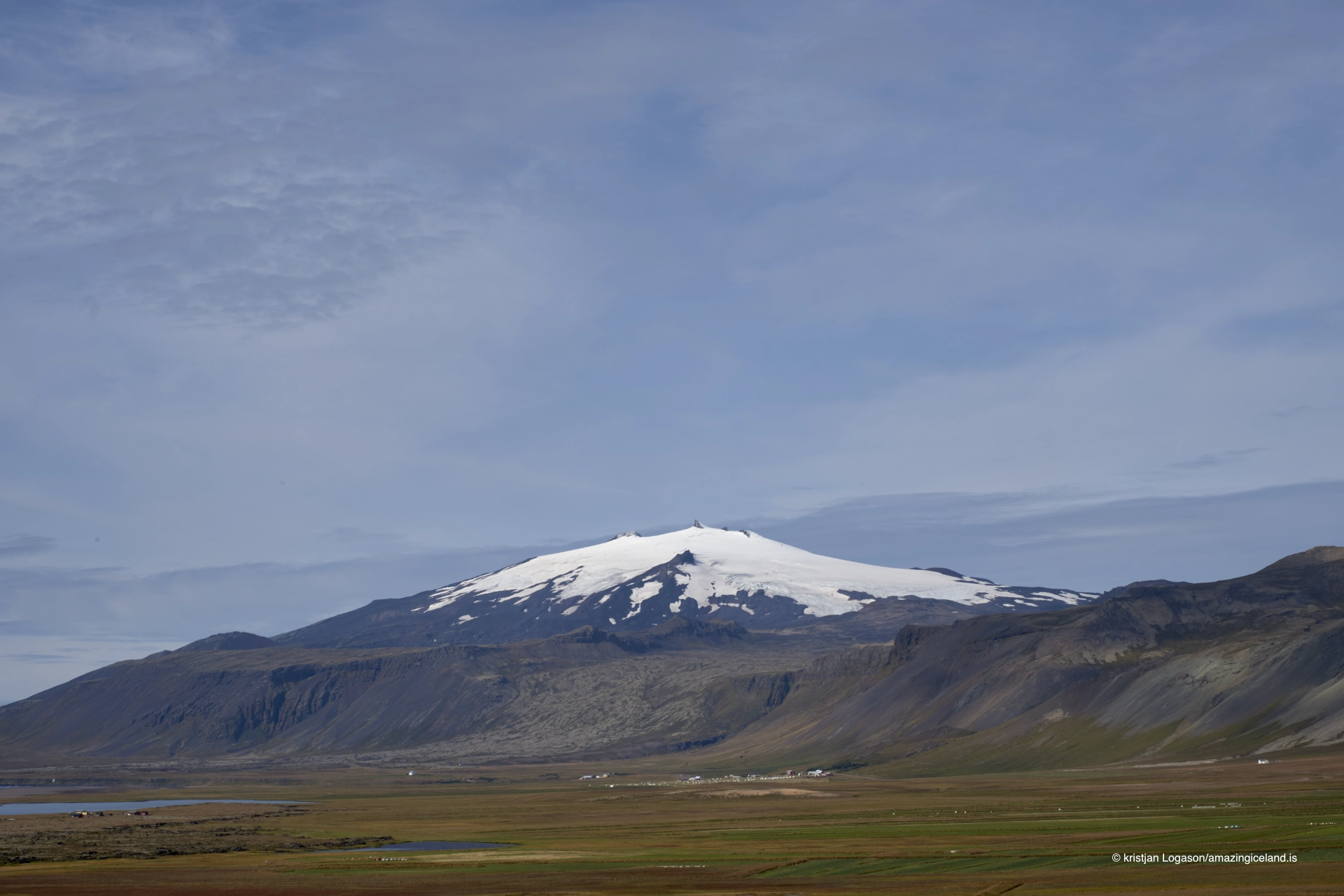
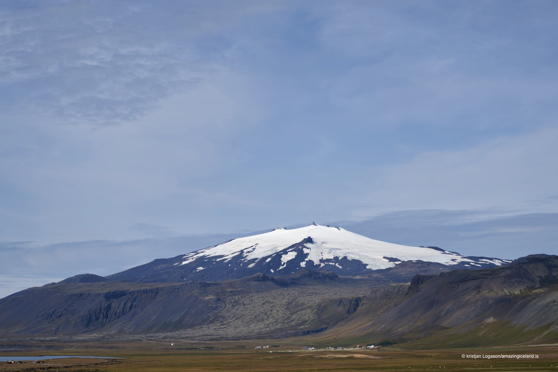
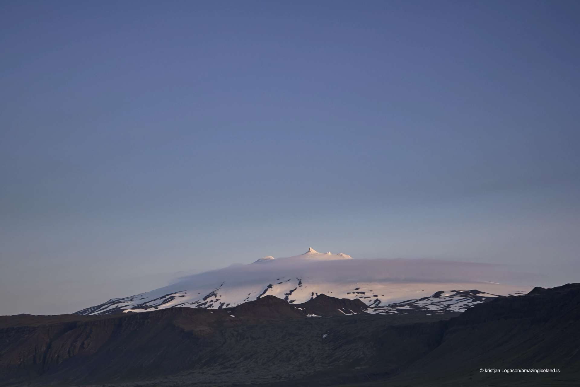
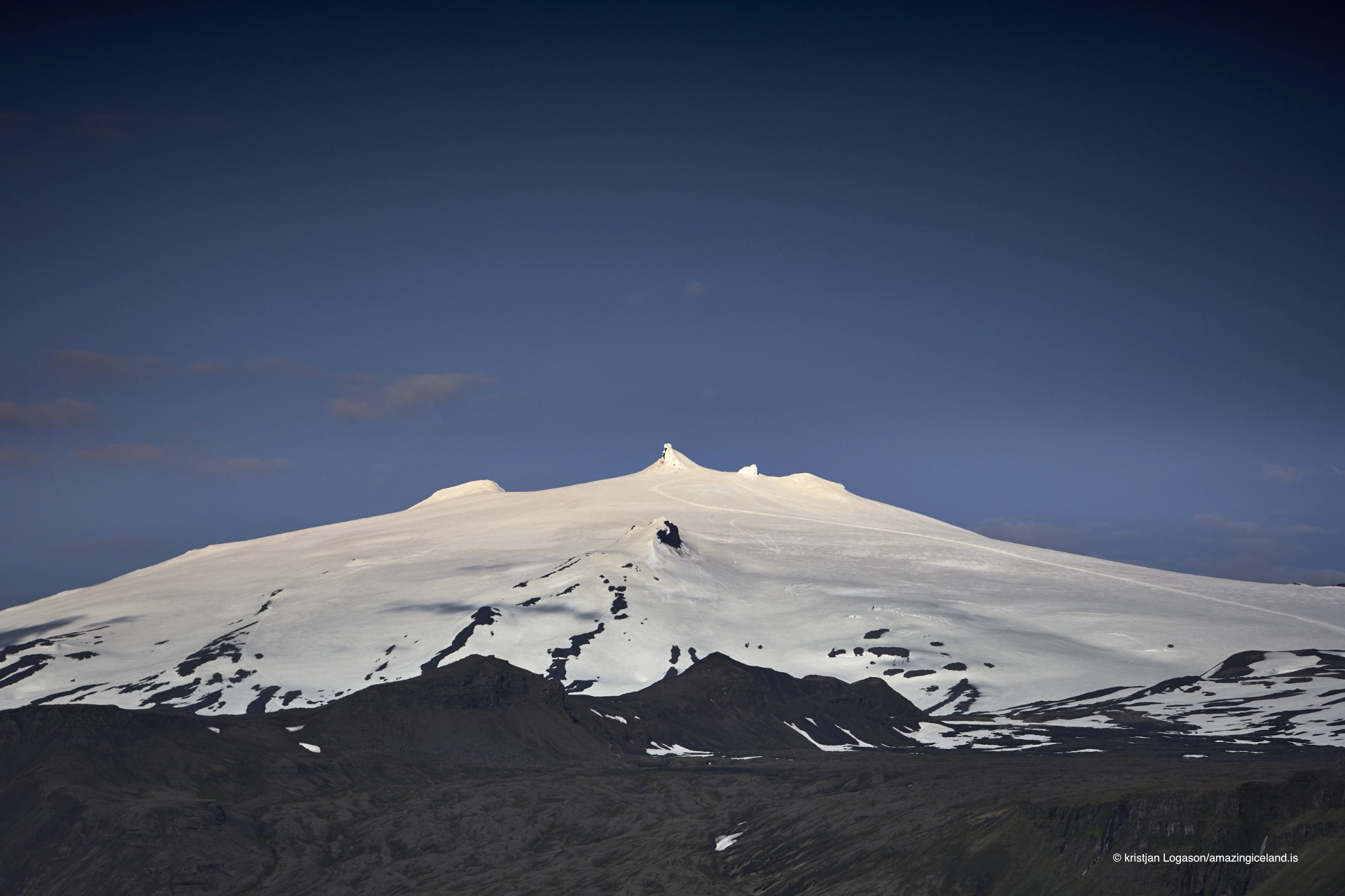
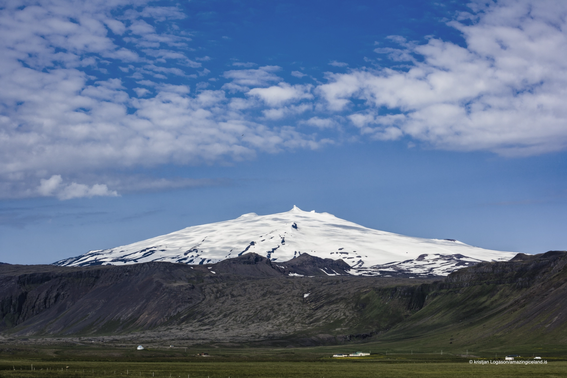
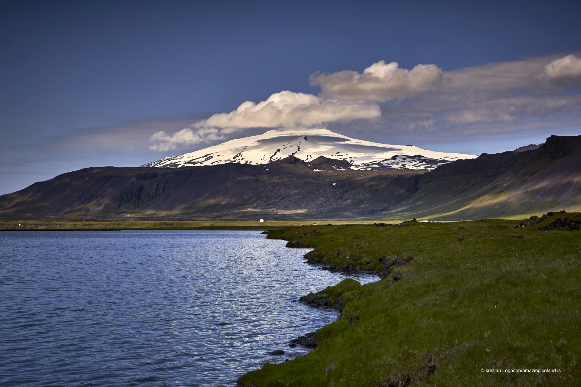
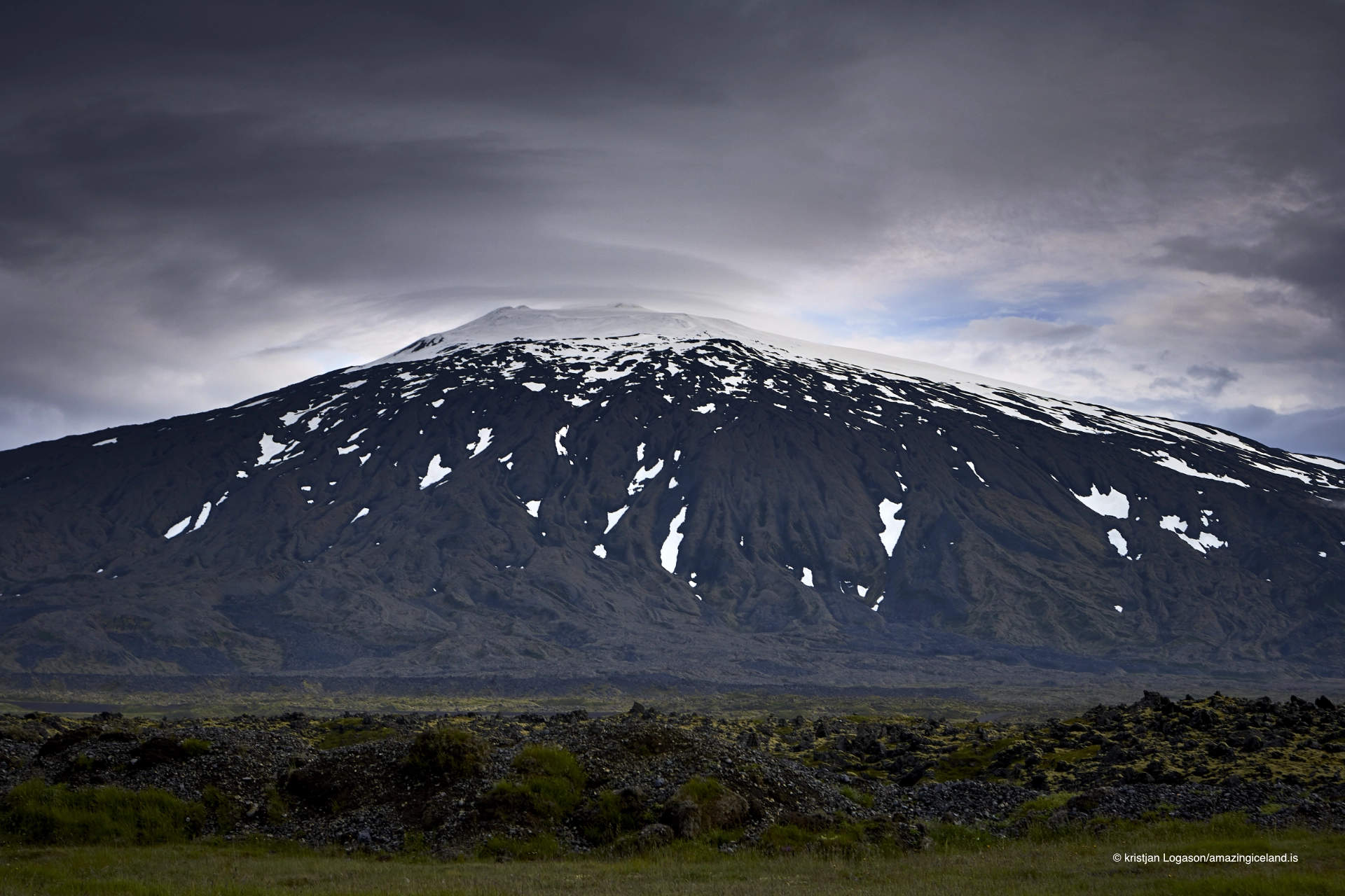
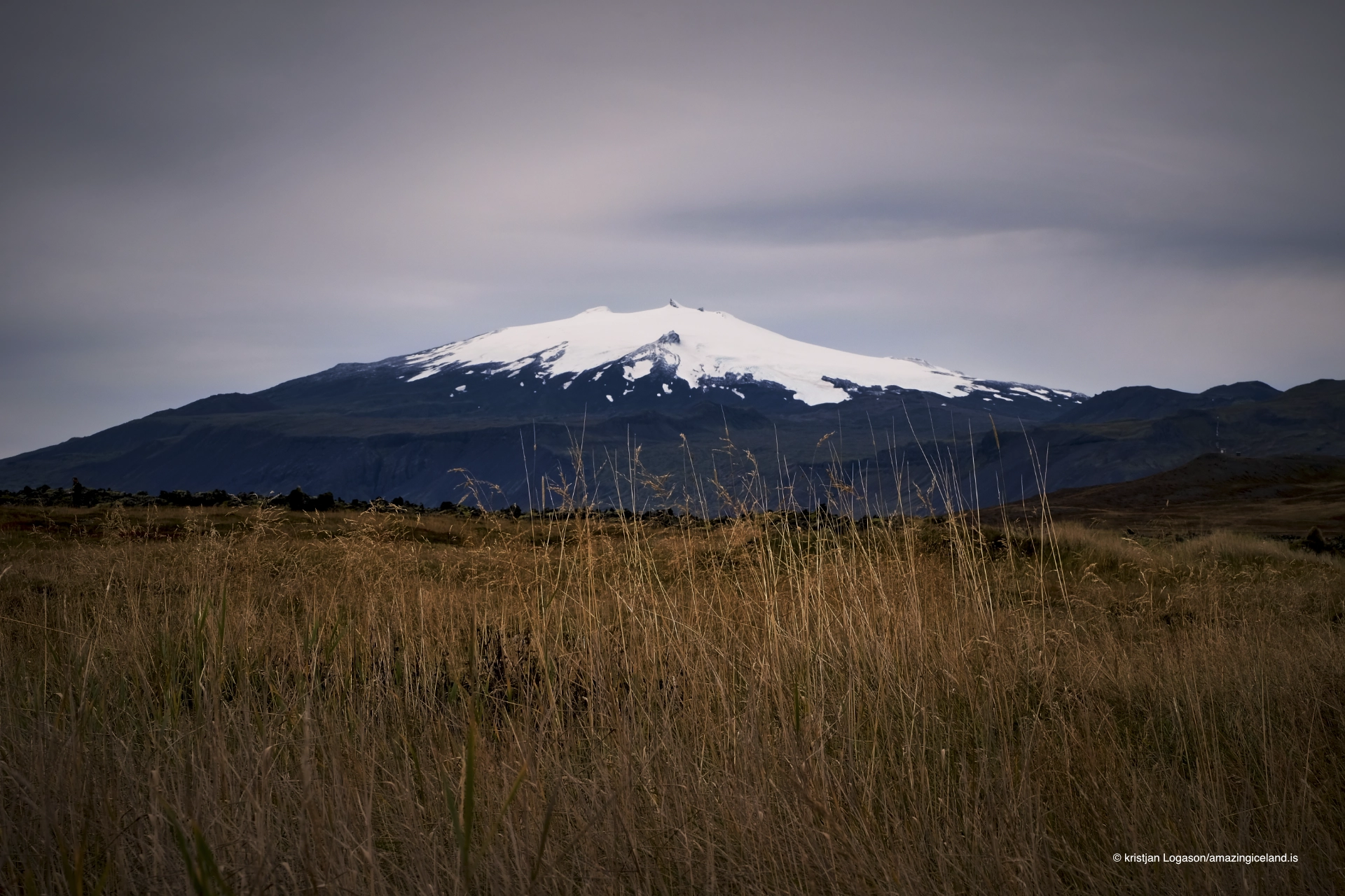
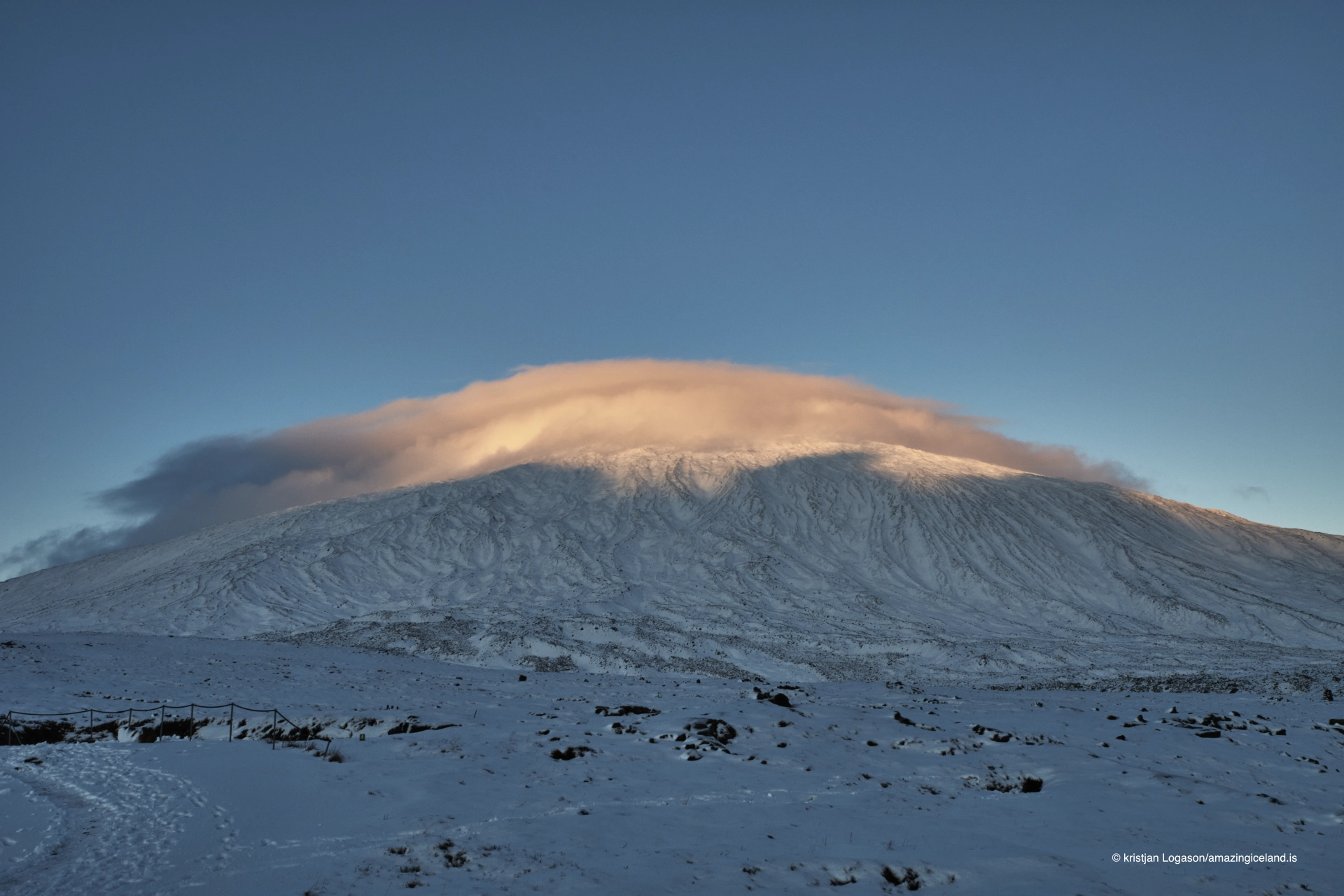
Snæfellsjökull dominates the western end of the Snæfellsnes Peninsula. It is both a volcano and a glacier, although the glacier has retreated dramatically during the last century.
Its summit rises to about **1,446 metres**, a figure that refers to the mountain’s highest rocky point rather than the present surface of the ice cap. Around it lies **Snæfellsjökull National Park**, established on 28 June 2001 to protect a landscape shaped by volcanic eruptions, lava fields, glaciers, the sea and centuries of human occupation.
The mountain is the reason the park exists. Its volcanic system created much of the surrounding landscape, its glacier gives the western peninsula its defining landmark, and its presence has accumulated layers of literature, folklore and modern mythology that have become almost inseparable from the geology itself.
The location of Snæfellsjokull glacier volcano on Snæfellsnes peninsula Iceland
Latitude
64.8168
Longitude
-23.7813
Snæfellsjokull glacier volcano on Snæfellsnes peninsula Iceland
An active stratovolcano
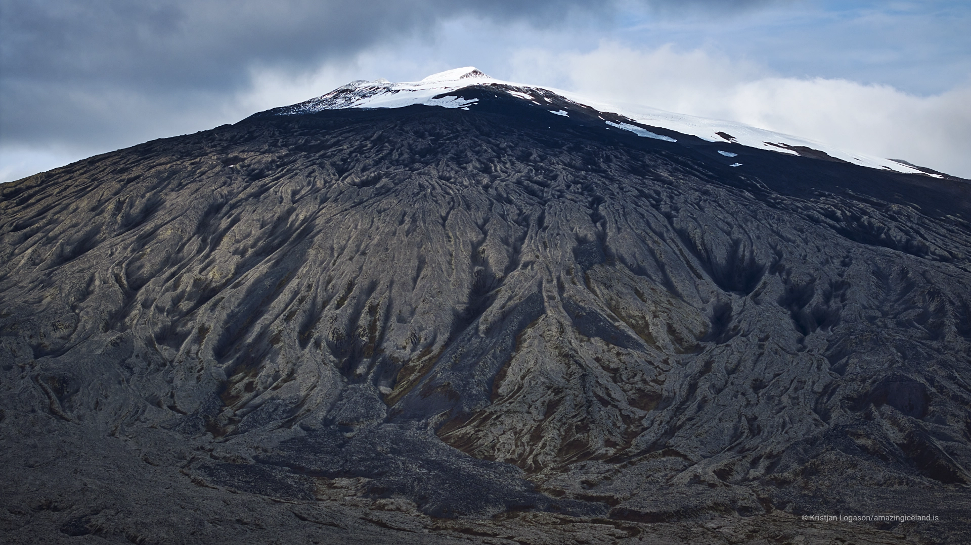
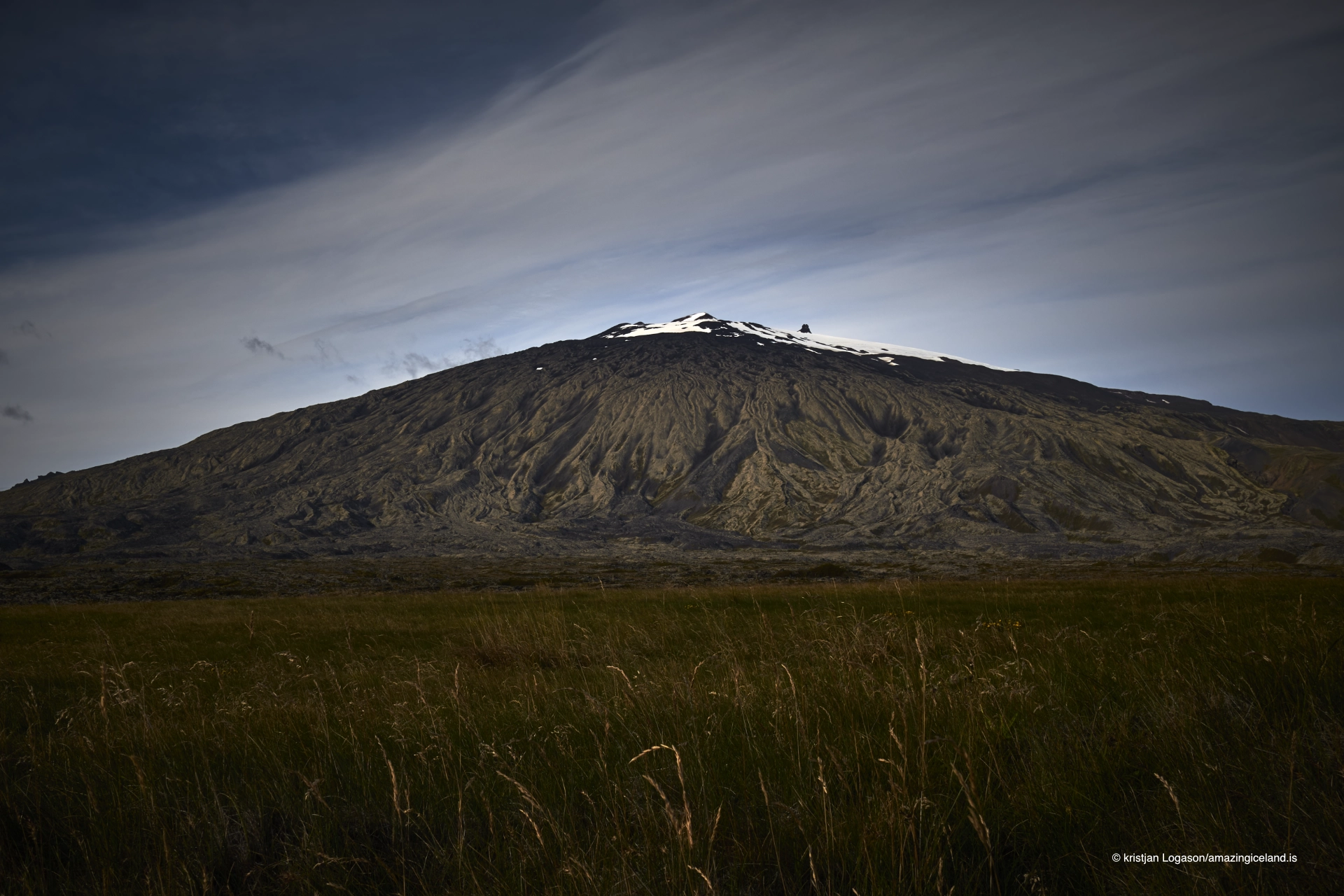
Snæfellsjökull is a stratovolcano built through repeated eruptions over hundreds of thousands of years. Its volcanic system extends across the western part of Snæfellsnes and includes numerous craters and lava flows, many of which remain clearly visible throughout the national park.
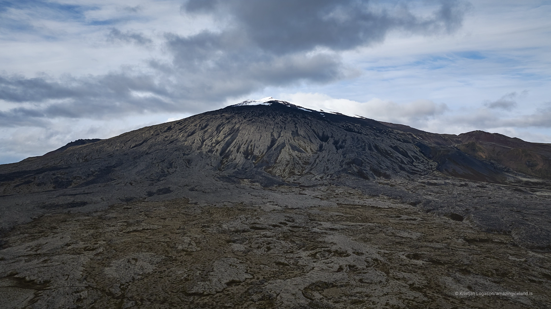
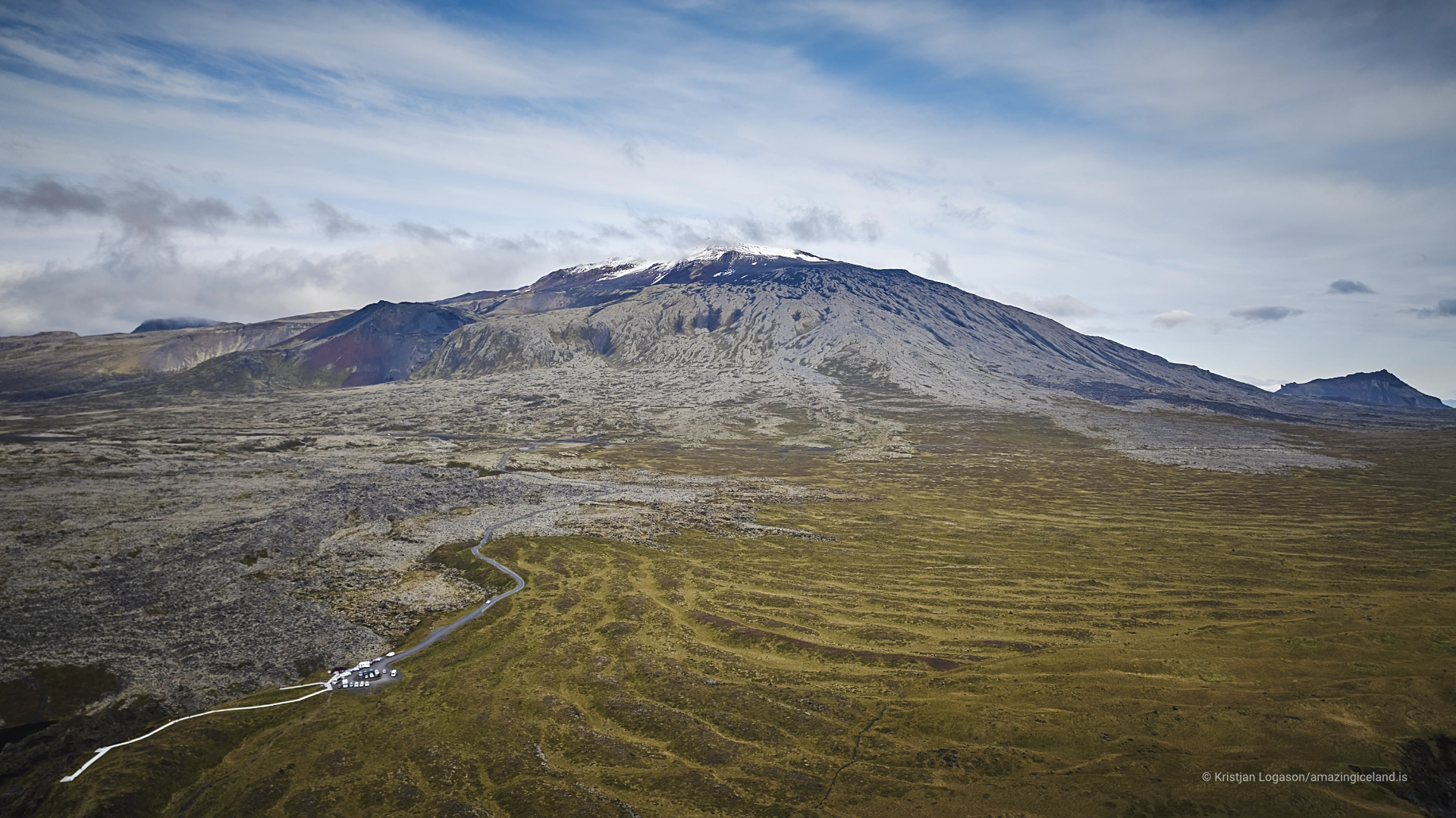
The mountain has the classical form of a central volcano, rising above lower lava fields that spread towards the coast. Its most recent known eruption occurred around 1,800 years ago and came from the summit area, producing volcanic material that can still be traced in the surrounding landscape.
Snæfellsjökull remains an active volcano, even though there has been no eruption there in historical times. Long periods without eruptions do not make a volcano extinct, and eruption intervals should never be treated as a timetable for predicting what might happen next.
Nearby features such as Saxhóll belong to the same wider volcanic landscape and show how much of the national park was created by comparatively recent eruptions. The mountain is therefore not an isolated volcanic cone but the central feature within a much broader eruptive system.
A shrinking glacier
The glacier on Snæfellsjökull has changed dramatically since the beginning of the 20th century. Historical estimates suggest that the ice cap covered about 22 square kilometres in 1910, while by 2008 its area had fallen to around 10 square kilometres.
Research published in 2011 estimated that more than 60% of the glacier’s ice volume had already been lost since the beginning of the 20th century. The change is not simply a reduction around the edges; the glacier has also become substantially thinner.
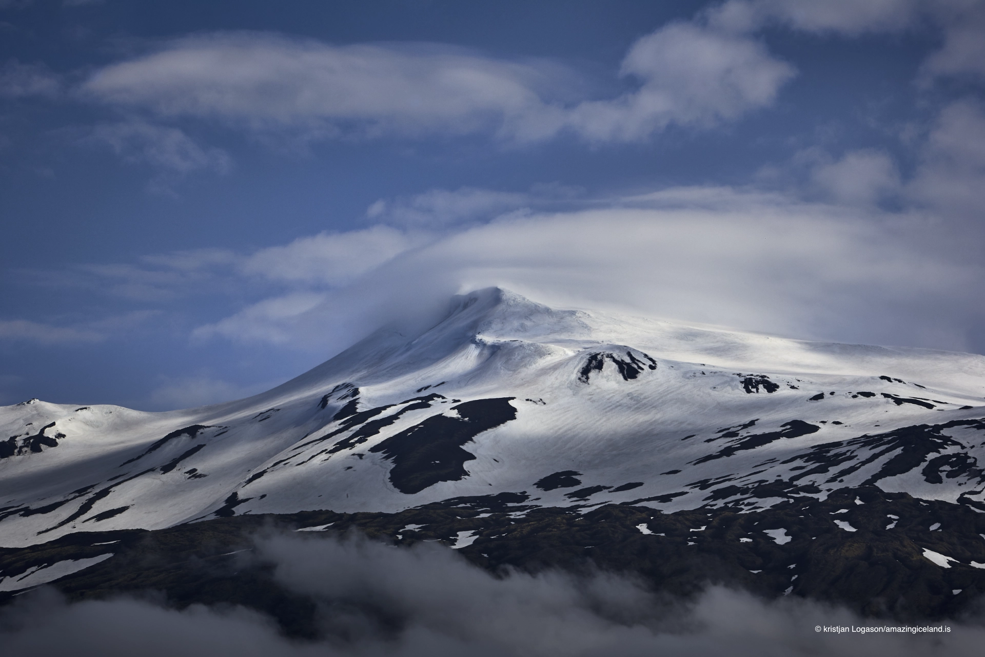
The familiar summit height of 1,446 metres needs some explanation for the same reason. Modern measurements have shown that the highest snow-covered surface of the glacier lies below the mountain’s highest exposed rock, where an ice-free rocky summit or nunatak rises through the upper ice cap.
The exact appearance of the summit changes with snow conditions, but the long-term direction is unmistakable. Snæfellsjökull is becoming smaller and thinner, making it not only a volcanic landscape but also a visible example of the rapid changes affecting Iceland’s smaller glaciers.

Driving towards Snæfellsjökull
Two mountain roads provide access towards the upper slopes of Snæfellsjökull. Road 570 crosses Jökulháls, while F575 approaches through Eysteinsdalur.
These are summer mountain roads rather than year-round routes. F575 is an F-road and requires a suitable 4×4 vehicle, while conditions on both roads can change quickly with snow, thaw, rain and weather.
Driving towards the mountain and travelling onto the glacier are two very different things. Going onto the ice requires proper glacier equipment, knowledge of current conditions and, for anyone without glacier experience, a professional guide.
The glacier contains crevasses whose positions can change, and snow can conceal them completely. Weather can also deteriorate rapidly, with cloud and poor visibility removing landmarks that seemed obvious only minutes earlier.
For most visitors, there is no reason to travel onto the glacier itself in order to experience Snæfellsjökull. The mountain can be understood from the roads, coast and surrounding landscape without turning a sightseeing stop into glacier travel.
Snæfellsjökull National Park
Snæfellsjökull National Park was established in 2001 and covers around 183 square kilometres. It stretches from the upper slopes of Snæfellsjökull down to the coast and protects a landscape that extends far beyond the glacier itself.
The park includes lava fields, volcanic craters, caves, black sea cliffs, beaches, abandoned fishing stations, bird colonies and historic remains. Several of the most distinctive destinations on western Snæfellsnes lie within it.
Malarrif is one of the main visitor points and includes the national park visitor centre. Lóndrangar preserves part of the resistant core of an old volcanic crater beside the sea, while Djúpalónssandur combines a black pebble beach, lifting stones and the remains of a shipwreck.
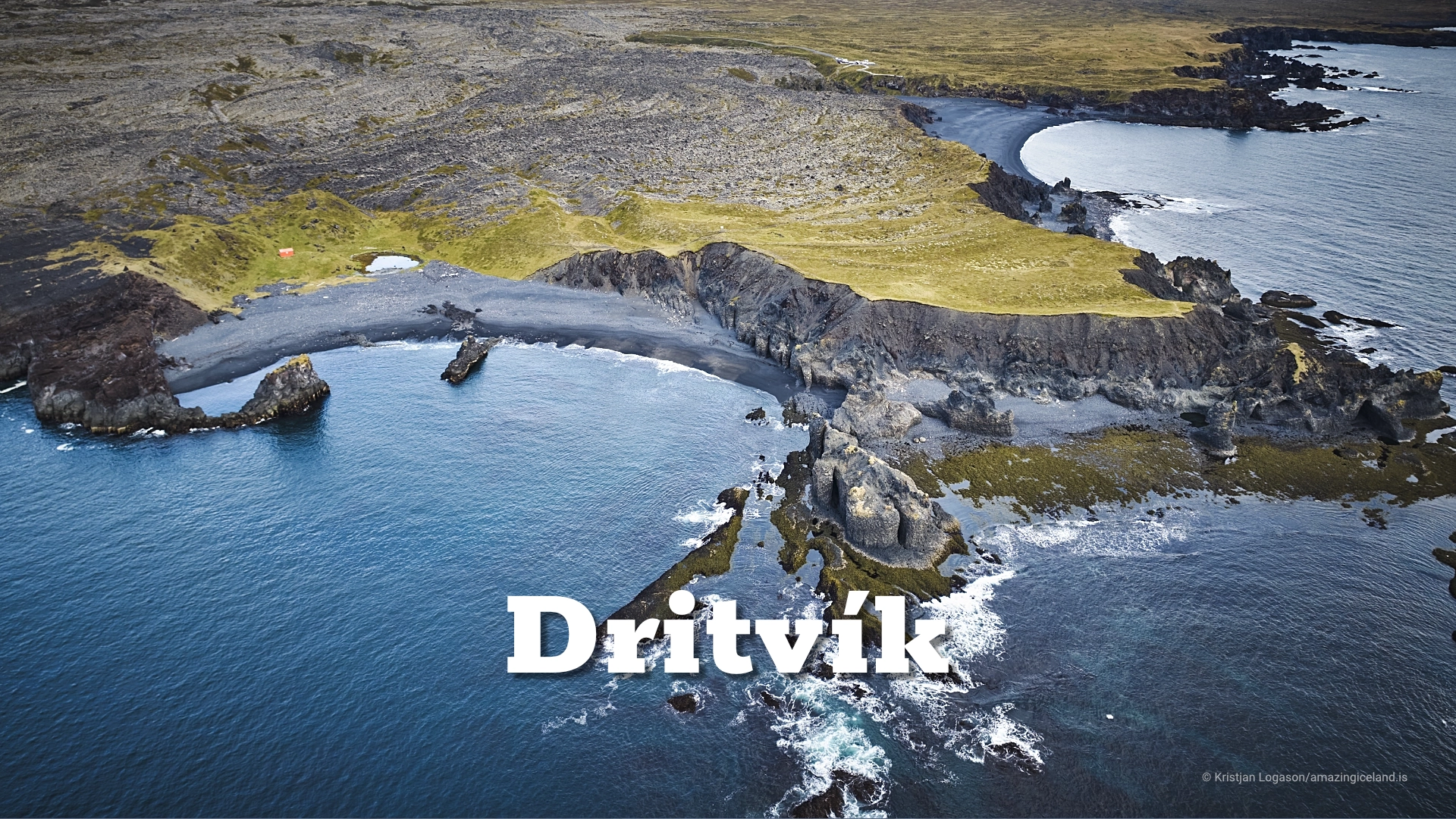
Nearby Dritvík was once one of Iceland’s important seasonal fishing stations. Saxhóll is a small volcanic crater reached by a staircase designed to reduce erosion of its loose surface, while farther west Saxhólsbjarg, Nesbjarg and Svörtuloft form a dark sea-cliff landscape around Skálasnagaviti lighthouse.
Each of these places deserves to be understood on its own, but all of them make more sense when seen as parts of the larger volcanic and coastal landscape created around Snæfellsjökull.
Seeing the mountain from below
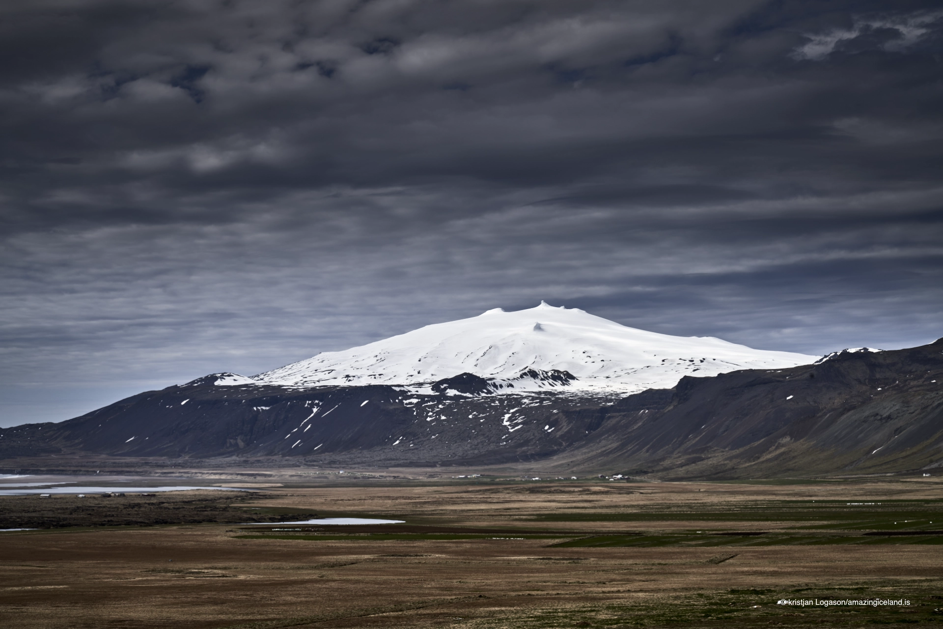
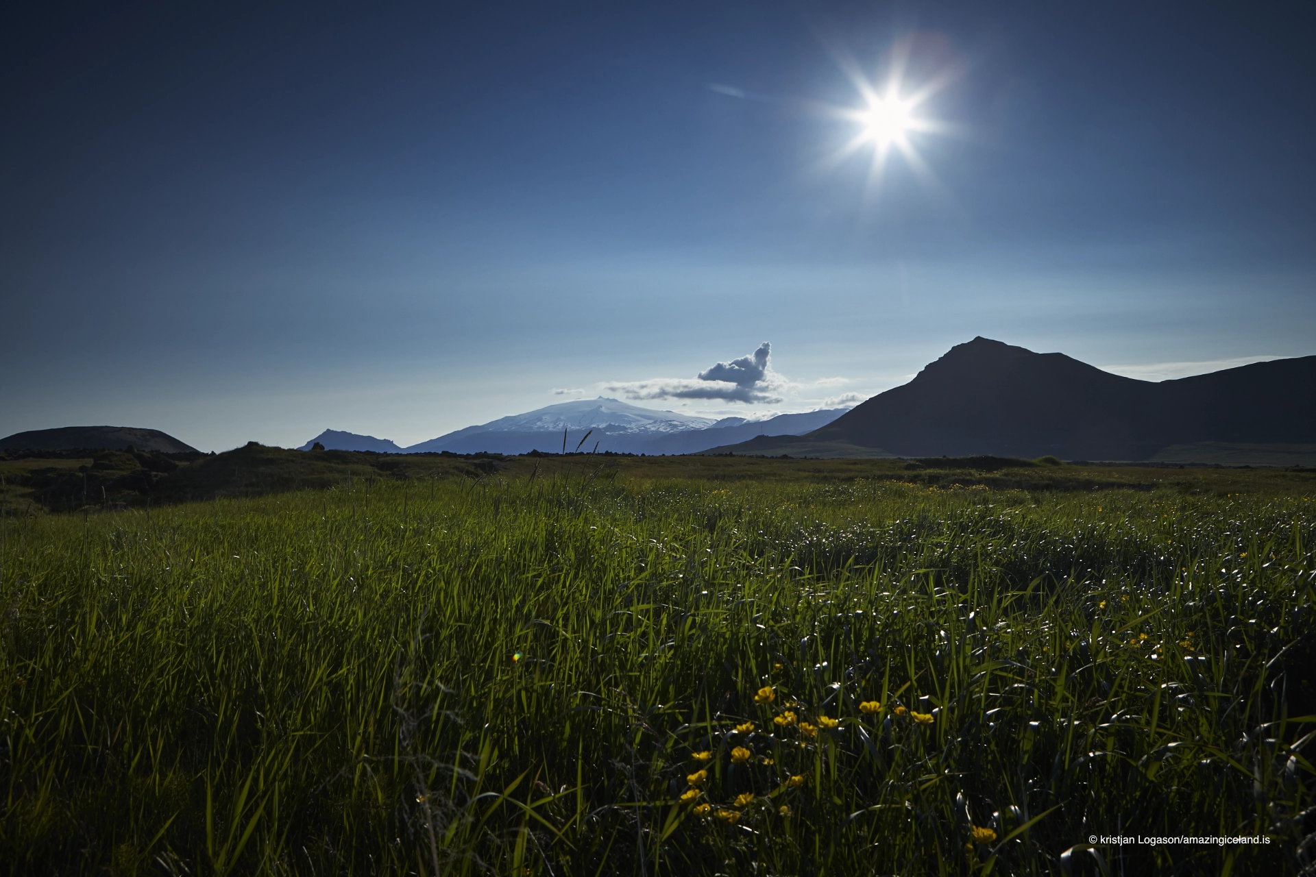
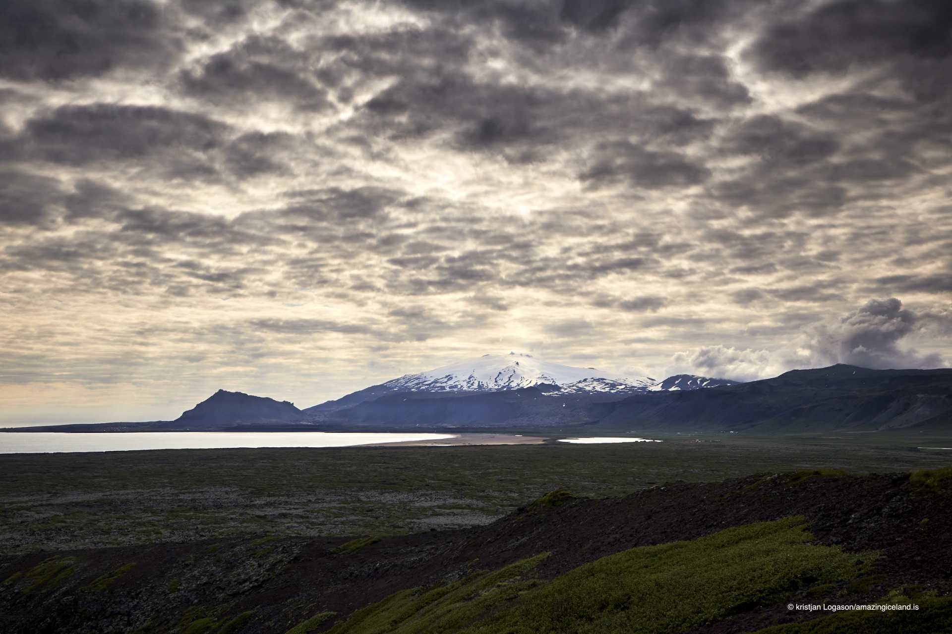
Most people experience Snæfellsjökull without ever driving onto its upper slopes. The mountain is visible from much of Snæfellsnes, and its relationship with the foreground changes constantly as you travel around the peninsula.
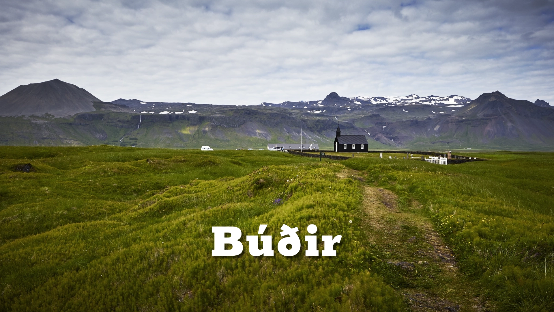
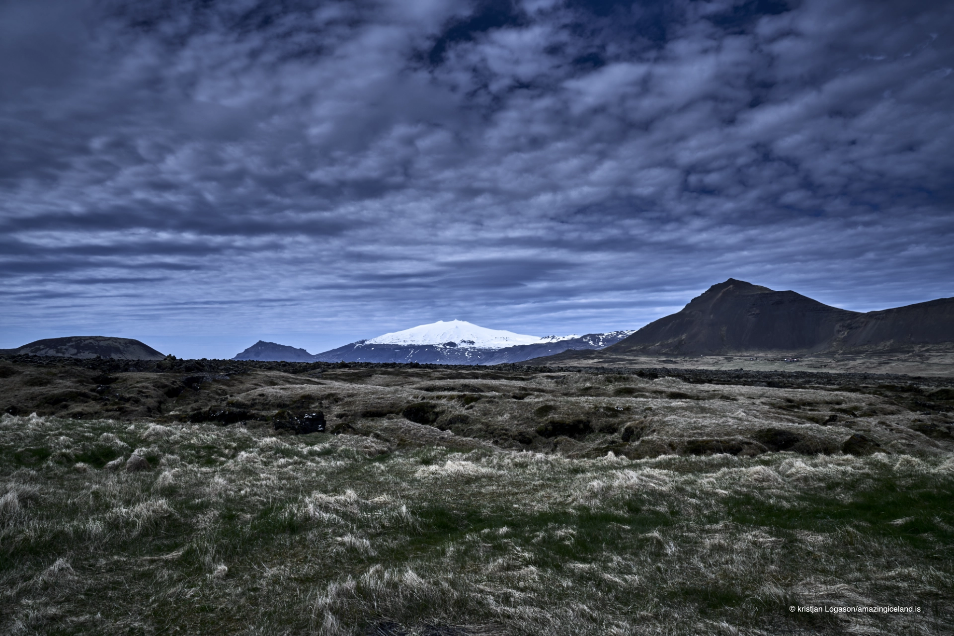
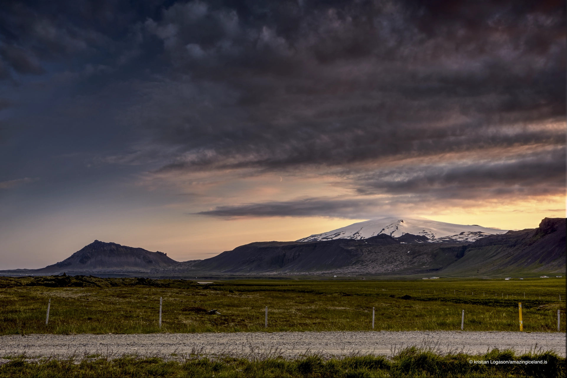
From Búðir and Búðahraun, the mountain rises beyond lava fields and low coastal country. From Ytri Tunga, it appears inland beyond farmland and the southern shore, while the road towards Arnarstapi gives some of the clearest views of its broad southern slopes.
At Malarrif, the lighthouse can be placed beneath the mountain, while from Lóndrangar the dark sea stacks provide one of the strongest contrasts with the glacier above.
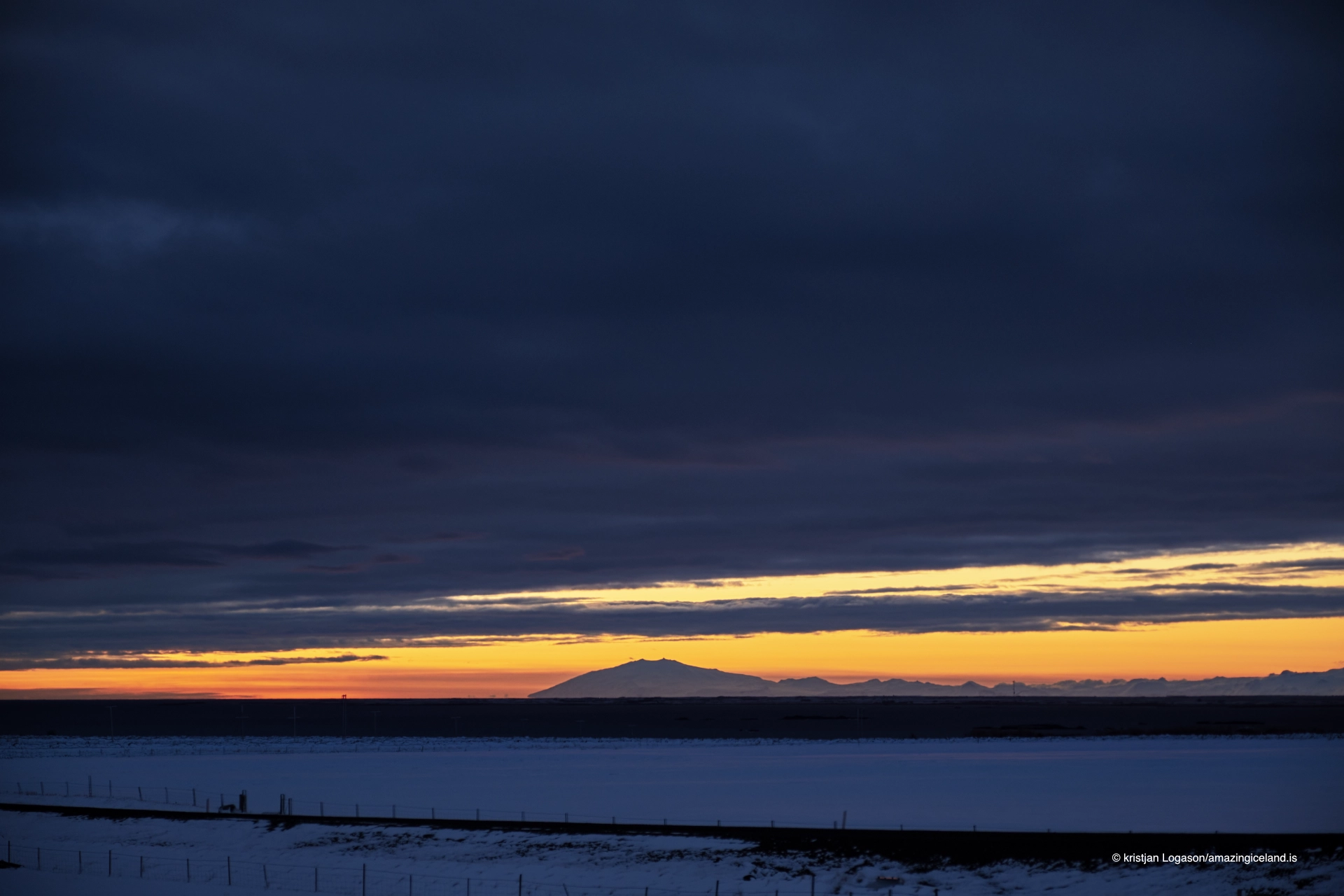
Snæfellsjökull is even visible across Faxaflói from Reykjavík on exceptionally clear days. That distance is part of its character.
The mountain does not need to be climbed to dominate the landscape. In many ways, its scale and position are easier to understand from below, where the relationship between glacier, volcano, coast and surrounding settlements becomes much clearer.
Jules Verne and the mountain beneath the mountain
Snæfellsjökull became internationally famous through Jules Verne’s 1864 novel Journey to the Center of the Earth. In the story, the crater of Snæfellsjökull is the entrance to the underground route followed by Professor Lidenbrock and his companions.
The distinction matters because the mountain is sometimes loosely described as the centre of the Earth in the novel. It is not. Snæfellsjökull is the gateway into the journey.
Verne had never visited Iceland when he wrote the book, but his choice of Snæfellsjökull permanently attached the mountain to one of the best-known adventure novels of the 19th century.
That literary association remains one of the reasons people around the world recognise the name. The mountain acquired an international identity through fiction long before mass tourism reached Snæfellsnes.
Energy, aliens and modern folklore
Snæfellsjökull has also accumulated a body of modern folklore very different from its geology. Many people living on Snæfellsnes, as well as visitors drawn to the mountain, describe it as a place of unusual energy.
It is often identified as one of a small number of supposed major energy centres around the world. The idea is widely repeated and has become part of the mountain’s modern identity, although it belongs to belief and cultural tradition rather than established geophysics.
One particularly memorable episode came on 5 November 1993, when people gathered near Snæfellsjökull after predictions that extraterrestrial visitors would arrive there at precisely 21:07.
The story attracted considerable attention, including international media. The appointed time came, but no spacecraft appeared.
The event nevertheless became part of the modern mythology surrounding Snæfellsjökull. By then the mountain had already accumulated centuries of stories, and waiting for aliens beside it simply added another very modern layer to the same landscape.
Interesting facts:
- Snæfellsjökull rises to about 1,446 metres, measured to the mountain’s highest rocky point rather than the present ice surface.
- The volcano last erupted around 1,800 years ago.
- Historical estimates place the glacier at about 22 km² in 1910, compared with roughly 10 km² in 2008.
- By 2008, research estimated that more than 60% of the glacier’s early-20th-century ice volume had been lost.
- Snæfellsjökull National Park was established on 28 June 2001.
- The park covers approximately 183 km².
- Jules Verne used Snæfellsjökull as the entrance to the underground journey in Journey to the Center of the Earth.
- On 5 November 1993, people gathered at the mountain after predictions that extraterrestrials would arrive at 21:07.
- Roads 570 and F575 approach the mountain in summer, with F575 requiring a suitable 4×4.
Image Gallery
Photography tips:
- Snæfellsjökull often photographs better from a distance than from directly beneath it because the foreground helps explain the scale and position of the mountain.
- Use Búðir and Búðahraun for compositions that combine the glacier with lava and low coastal landscape.
- From Ytri Tunga, use farmland and the southern coastline as foreground to show the mountain as part of the inhabited peninsula rather than an isolated summit.
- The road towards Arnarstapi gives relatively open views of the southern slopes and works well when the aim is to photograph the form of the mountain itself.
- At Malarrif, the lighthouse provides a strong man-made foreground, while Lóndrangar offers a much darker and more dramatic contrast with the glacier above.
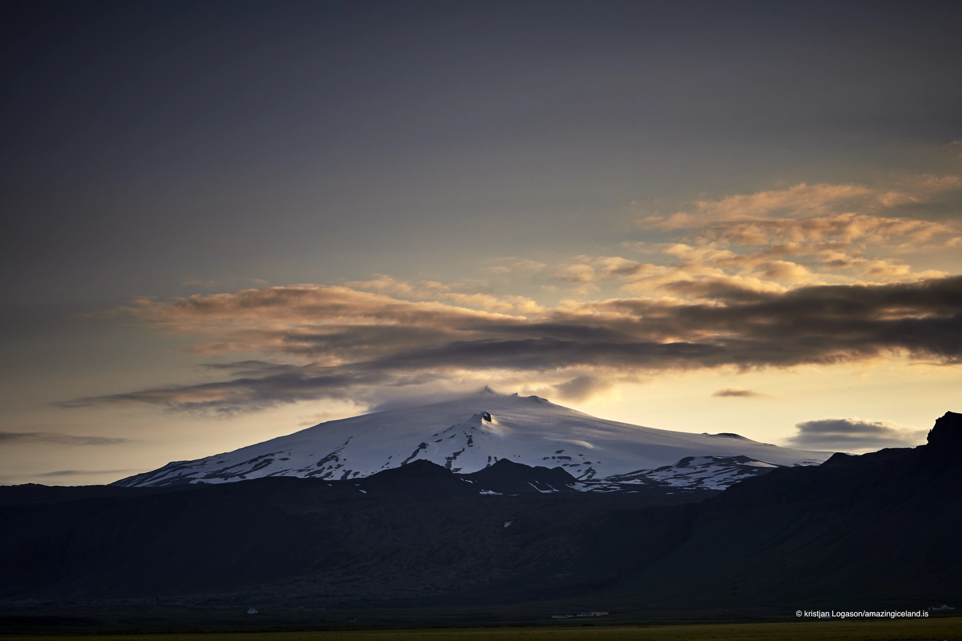
- Low evening light can reveal structure in the volcanic slopes that disappears under flat midday illumination.
- Cloud around the summit is not necessarily a problem. Partial cloud can separate the glacier from clear lower slopes and often gives the mountain more atmosphere than completely clear weather.
- Longer focal lengths can compress the relationship between Snæfellsjökull and foreground subjects, while wider lenses work better when the aim is to show the mountain within the broader landscape.
- If photographing from the upper mountain roads, road and weather conditions take priority over the picture. Going onto the glacier itself is a glacier-travel decision, not a photography shortcut.
Destinations nearby