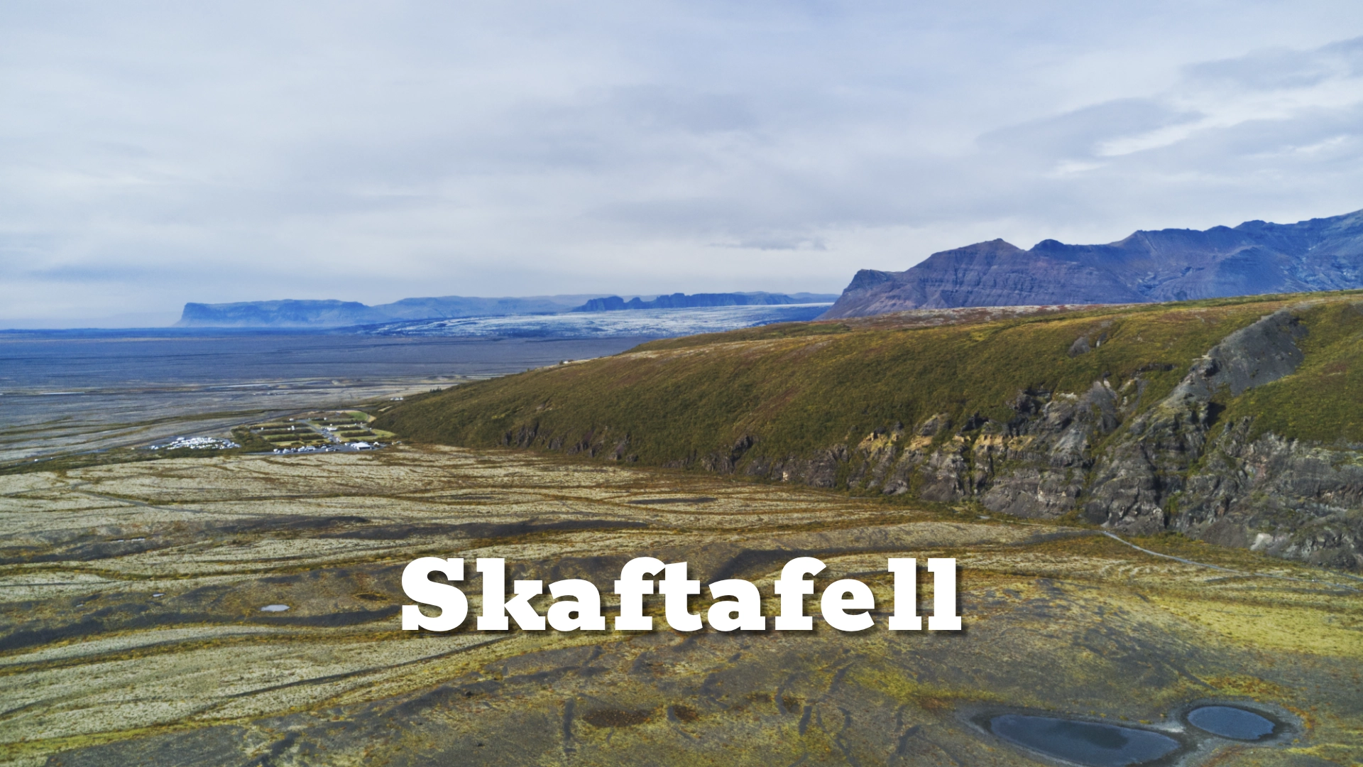
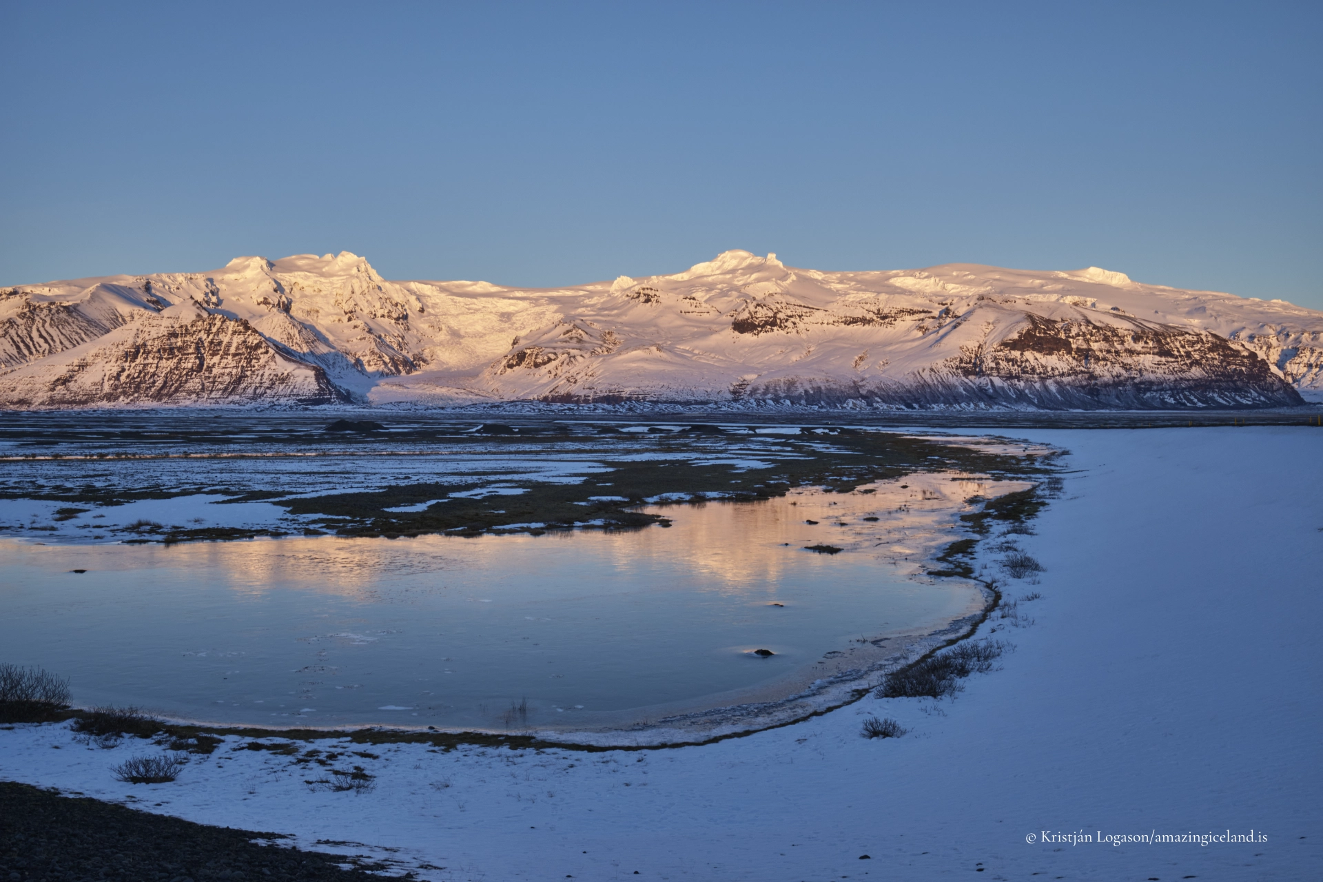
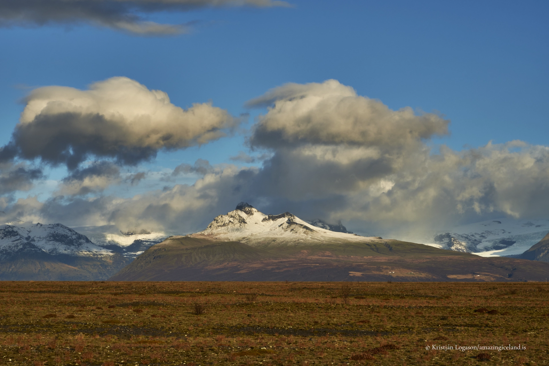
On the southeastern edge of Vatnajökull, beneath the ice-covered volcano Öræfajökull, Skaftafell occupies a sheltered pocket of land shaped by ice advance, volcanic deposition, and repeated jökulhlaups. Although commonly referred to as Skaftafell National Park, the area has been part of Vatnajökull National Park since 2008.
The location of Skaftafell national park
64.0163
Latitude
Longitude
-16.9665
Skaftafell national park
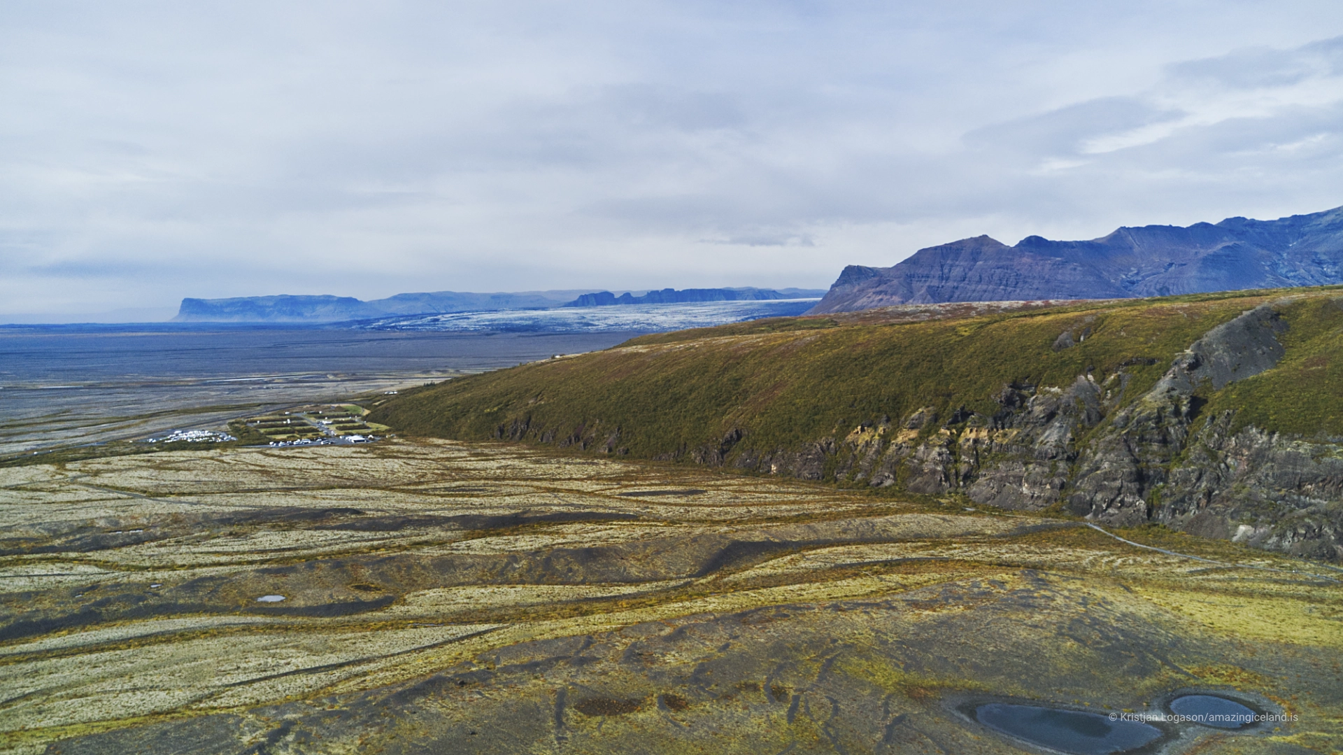
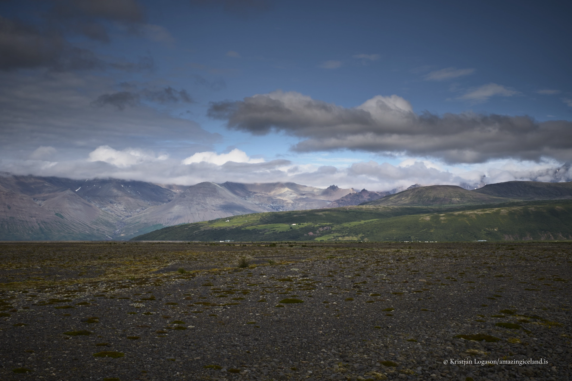
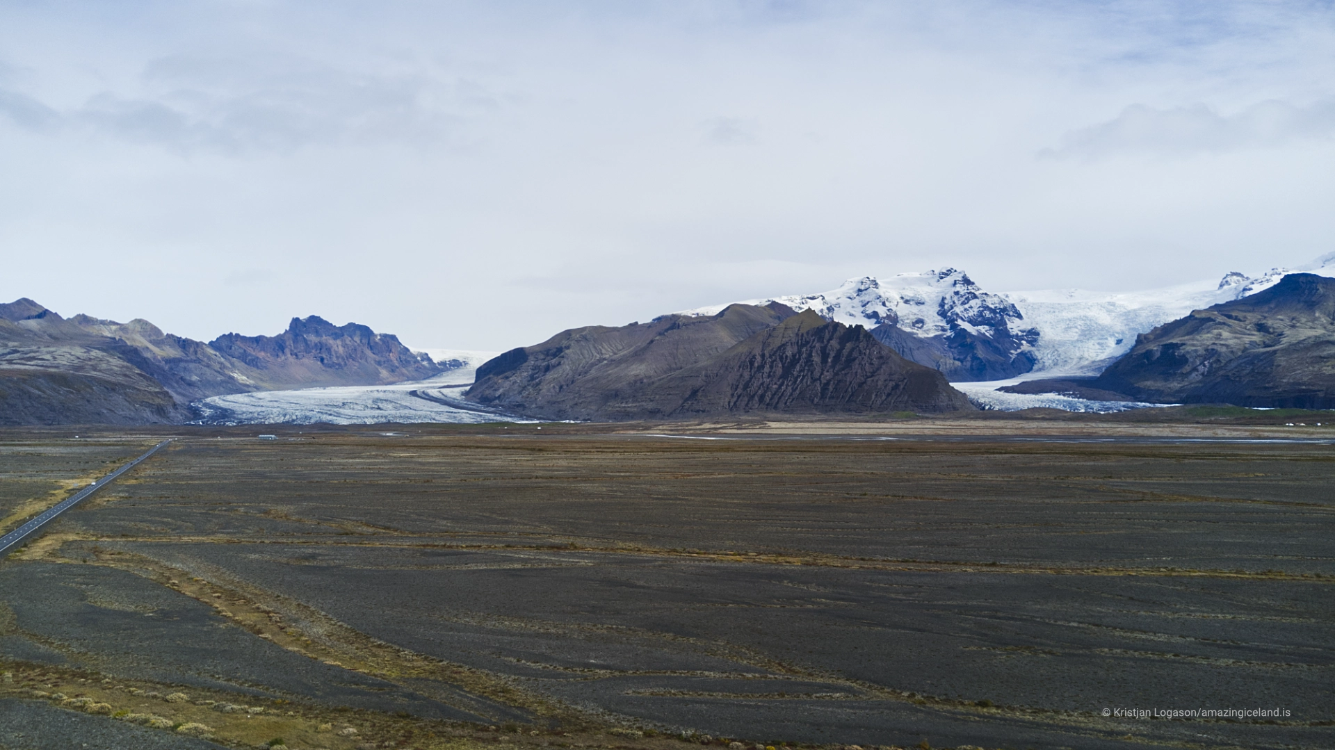
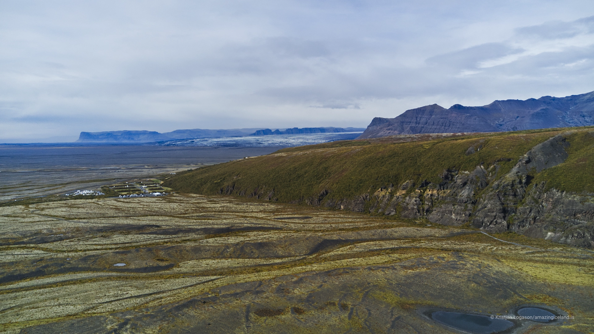
Skaftafell is located between Skeiðarársandur outwash plain and the steep southern slopes of Vatnajökull. This position places the area directly in the path of glacial flow from Öræfajökull and its outlet glaciers, while also benefiting from relative shelter created by surrounding topography.
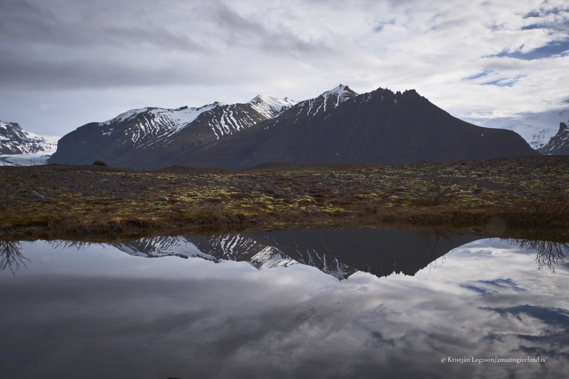
Geologically, the landscape is layered. Basalt lava flows form the underlying bedrock, overlain by glacial till, volcanic ash, and flood-deposited sediments. These layers record repeated alternation between ice advance, volcanic eruption, and catastrophic meltwater release.
From a geomorphological perspective, Skaftafell functions as a compressed archive of Icelandic processes. Glaciers, rivers, and vegetation coexist at unusually close range, allowing system interactions to be observed without long transitions.
Historically, Skaftafell was settled and farmed for centuries despite its proximity to glacial hazards. The area’s abandonment in the mid-20th century followed repeated jökulhlaups and changing economic conditions, after which it was designated a national park in 1967.
This transition—from farmed land to protected landscape—shapes how Skaftafell is experienced today. Traces of former habitation remain subtle but legible, embedded within a landscape now managed for conservation and education rather than production.
The area’s later incorporation into Vatnajökull National Park expanded its context without diminishing its identity. Skaftafell remains a distinct unit within the larger park, defined by accessibility, interpretive infrastructure, and ecological diversity.
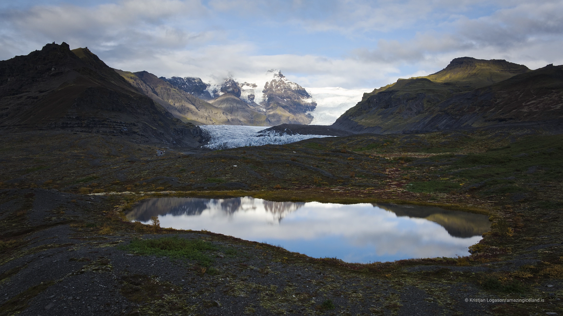
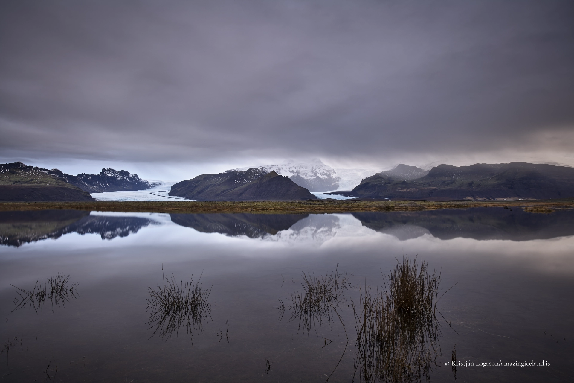
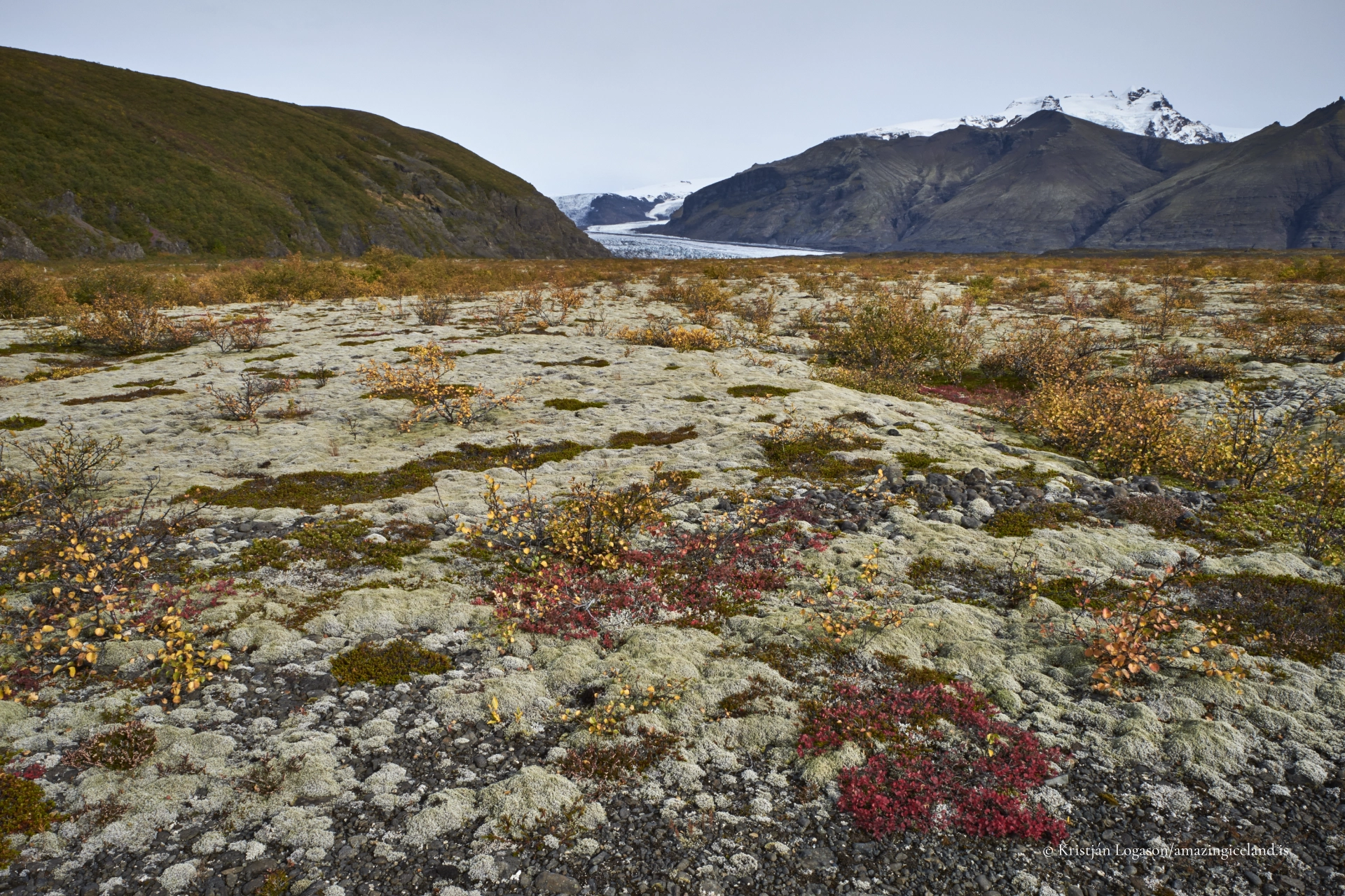
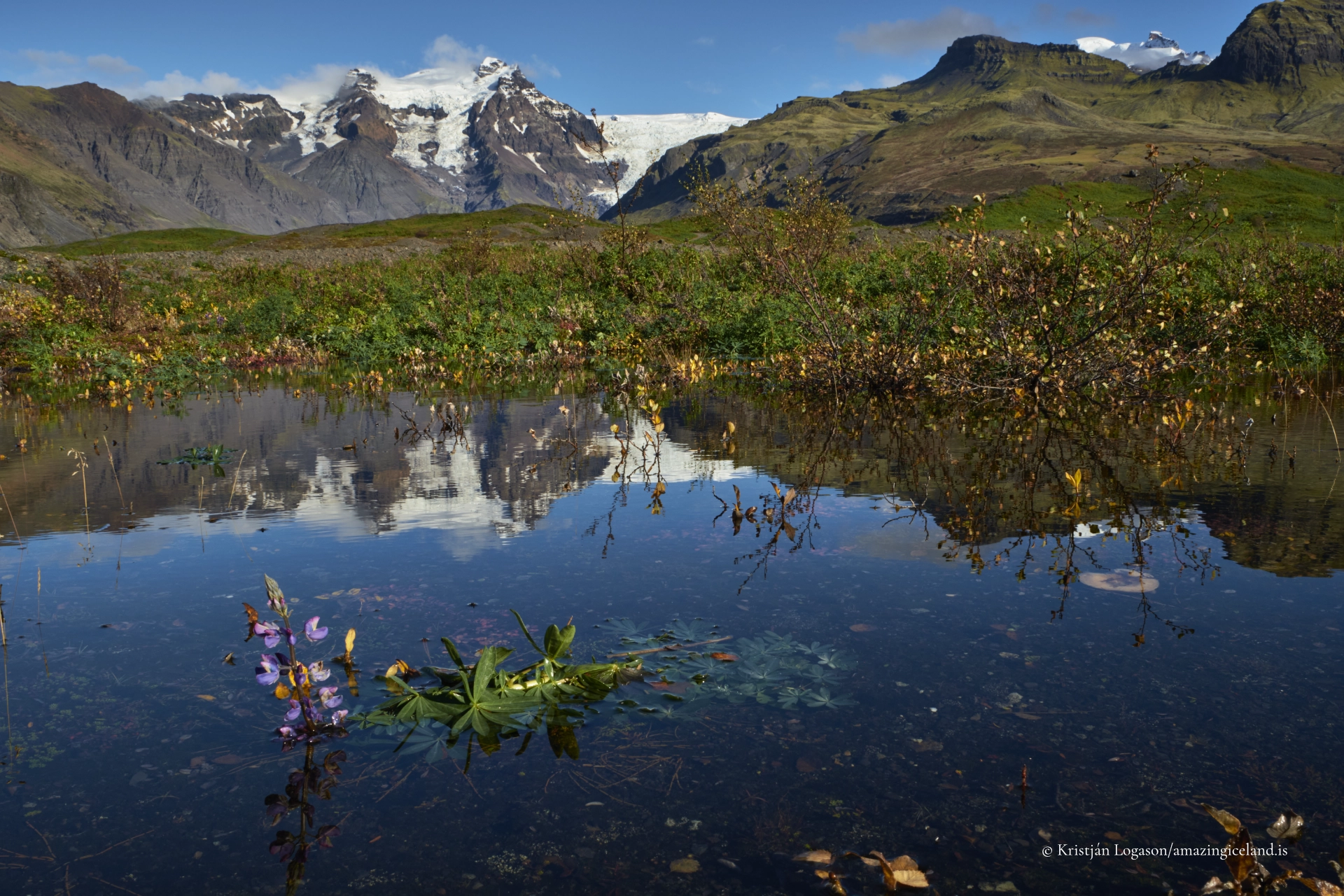
Glacial outlets such as Skaftafellsjökull, Falljökull, and Svínafellsjökull descend directly into the area, each exhibiting different flow dynamics and retreat patterns. Their proximity allows direct comparison between smooth tongues, icefalls, and heavily fractured ice.
The presence of Svartifoss, framed by columnar basalt, adds a volcanic counterpoint to the glacial focus. Together, these features demonstrate how Iceland’s dominant forces—ice and fire—interlock rather than alternate.
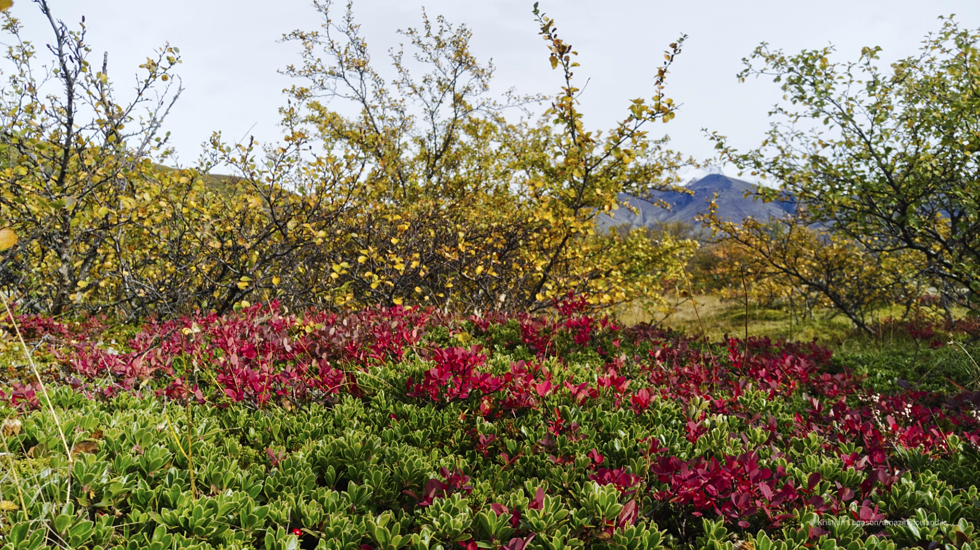
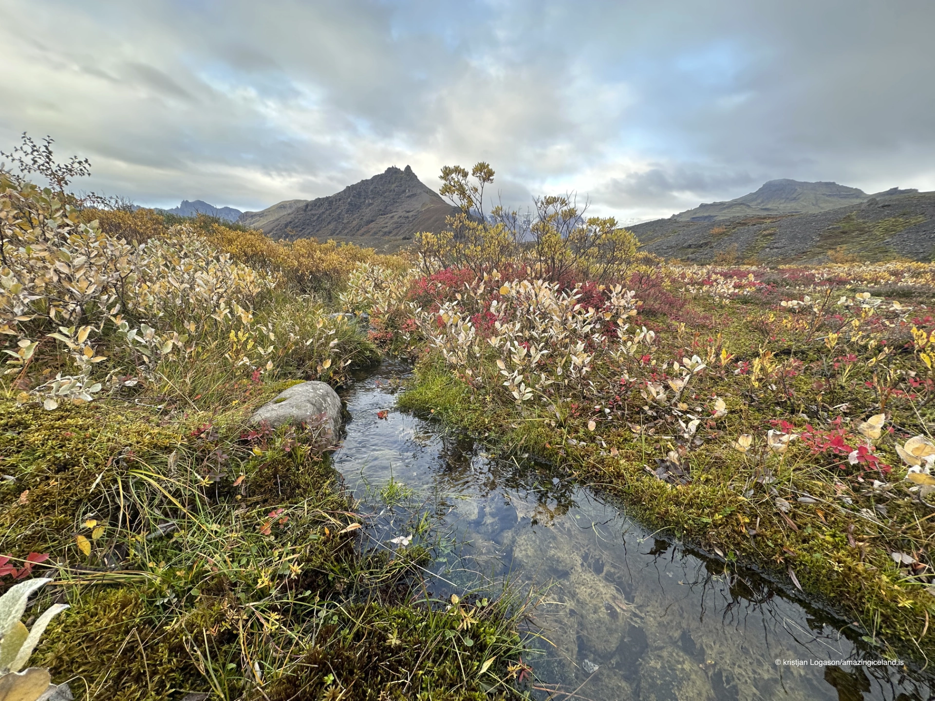
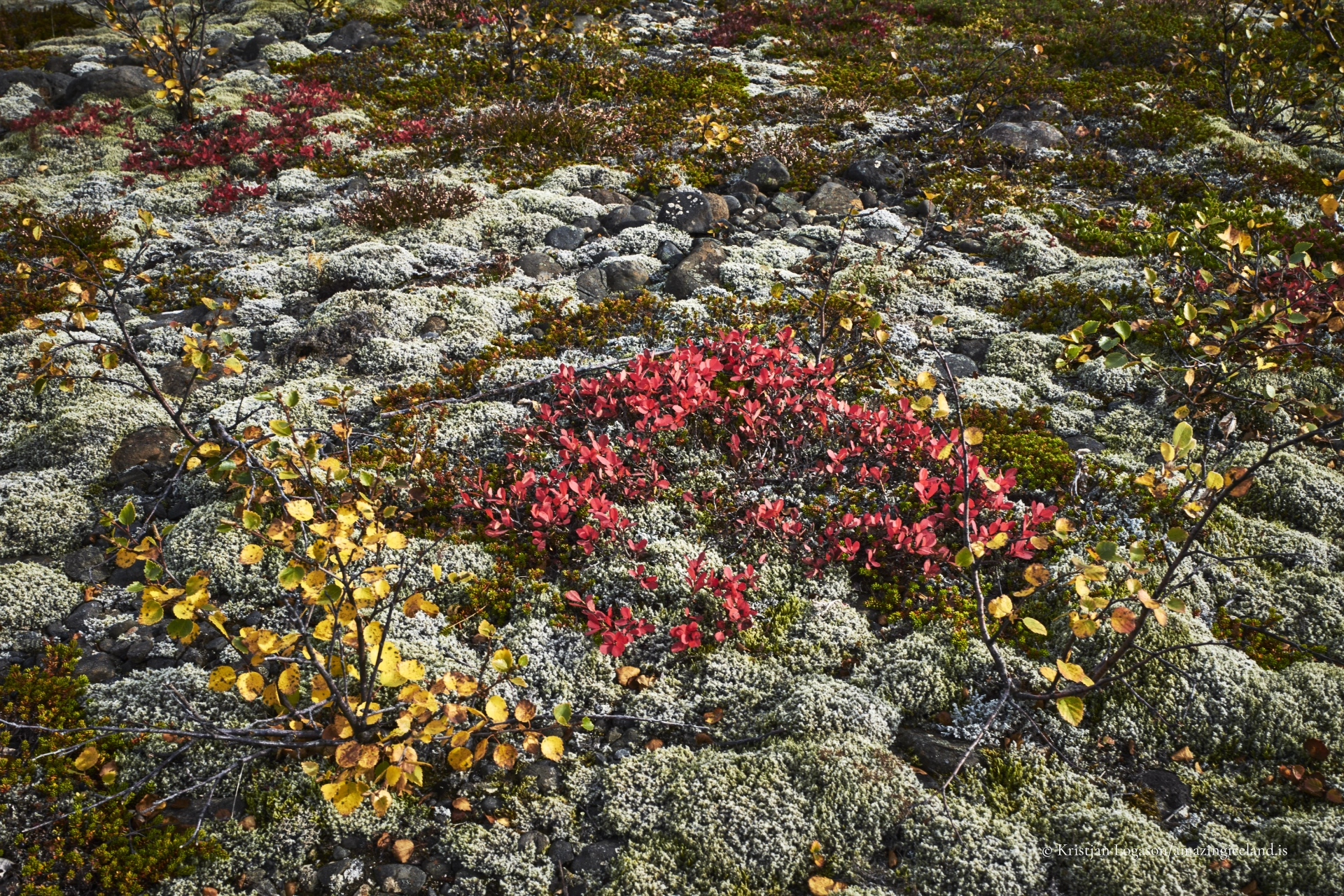
Ecologically, Skaftafell supports relatively lush vegetation compared to surrounding sandur plains. Birch woodland, willow scrub, mosses, and flowering plants persist here due to shelter, moisture, and soil development. This creates sharp ecological boundaries between vegetated slopes and barren glacial outwash.
These conditions have made Skaftafell a long-standing site for ecological study. Species distribution, succession, and climate sensitivity can be observed clearly due to well-defined gradients.
Modern infrastructure—including trails, viewpoints, and a visitor center—is concentrated and deliberately limited. Movement is guided but not over-managed, allowing access without overwhelming the landscape.
Skaftafell ultimately functions as a gateway landscape. It introduces visitors to Iceland’s dominant natural processes in a setting that is legible, contained, and accessible, without simplifying their complexity.
Interesting facts:
- Skaftafell was established as a national park in 1967.
- It became part of Vatnajökull National Park in 2008.
- The area lies directly beneath the active volcano Öræfajökull.
- Multiple outlet glaciers descend into the area.
- Skaftafell supports unusually rich vegetation for its latitude.
Image Gallery

The Locomotive Elite
What do Donald Trump and Iceland’s Locomotive Elite have in common?
Far more than you think.
In The Locomotive Elite, you’ll uncover how a tiny clique in Iceland captured extensive control—of banks, courts, media, and even the central bank.
For decades they ruled, first democratically, then through corruption and in the end through crime, enriching themselves and their cronies while dismantling oversight.
The result?
One of the most spectacular financial collapses in modern history.
Photography tips:
- Show system overlap: Include ice, rock, and vegetation in single frames.
- Use elevation: Trails to viewpoints reveal spatial relationships clearly.
- Avoid feature isolation: Context strengthens understanding.
- Flat light works well: It reveals texture in both ice and basalt.
- Seasonal awareness: Snow, meltwater, and plant growth change emphasis dramatically.
Good cameras for Iceland
Sony A7R V

Sony A7s lll

Canon R6

Nikon Z6 lll

Destinations nearby


Good to have in Iceland


