Seyðisfjörður: A Hidden Cultural Gem in East Iceland

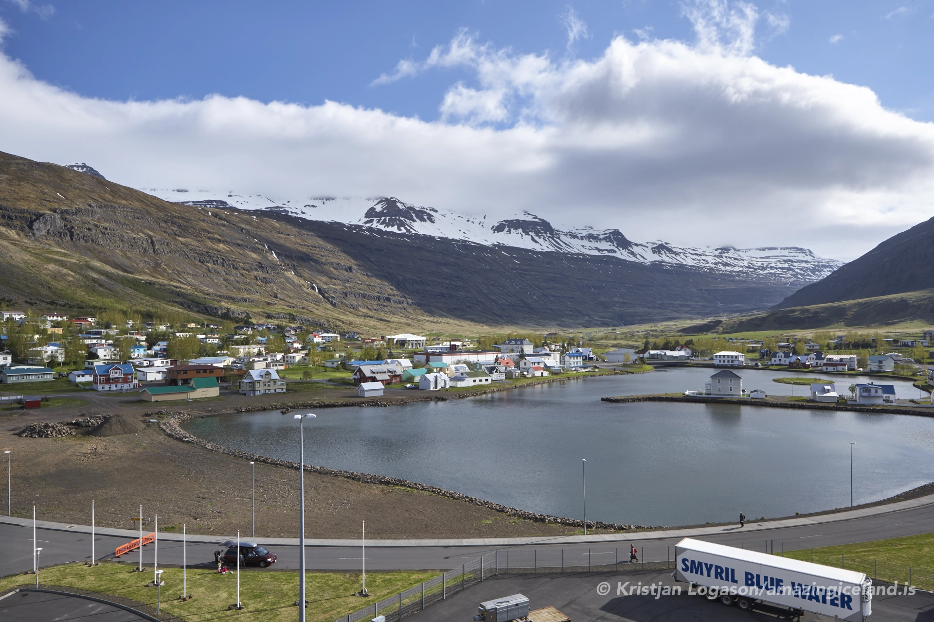
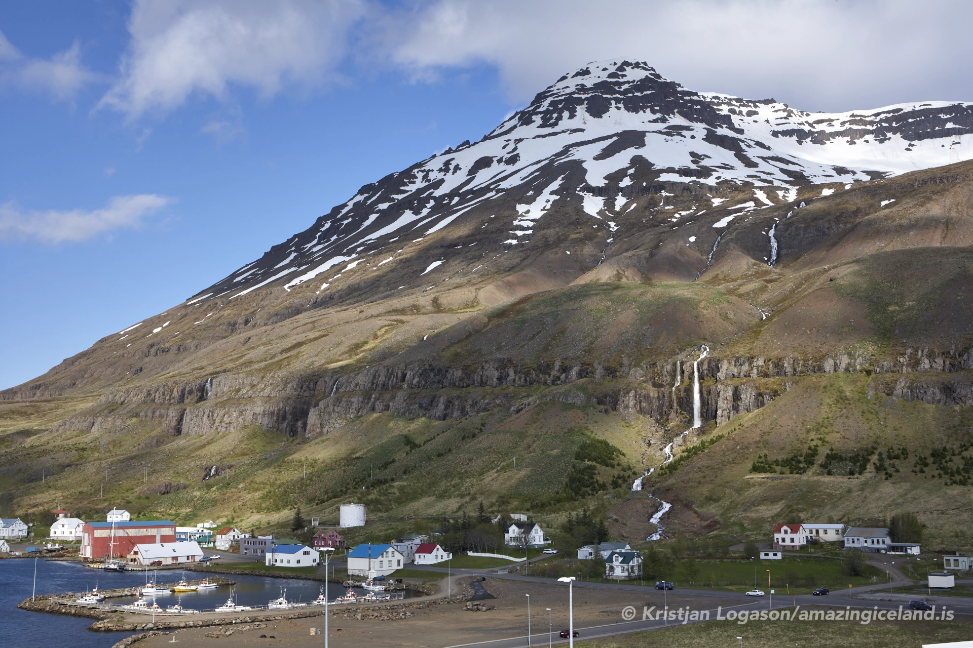
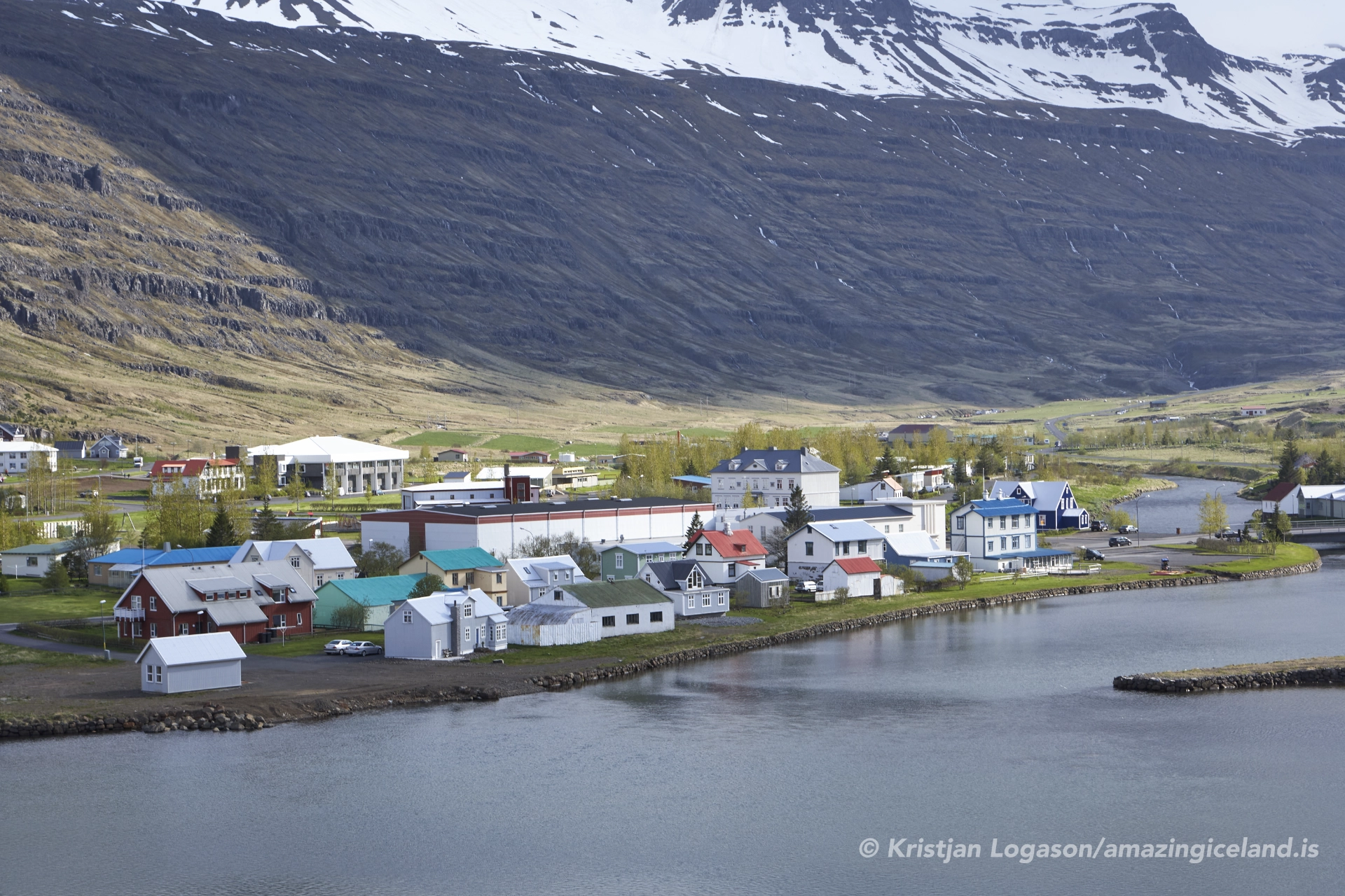
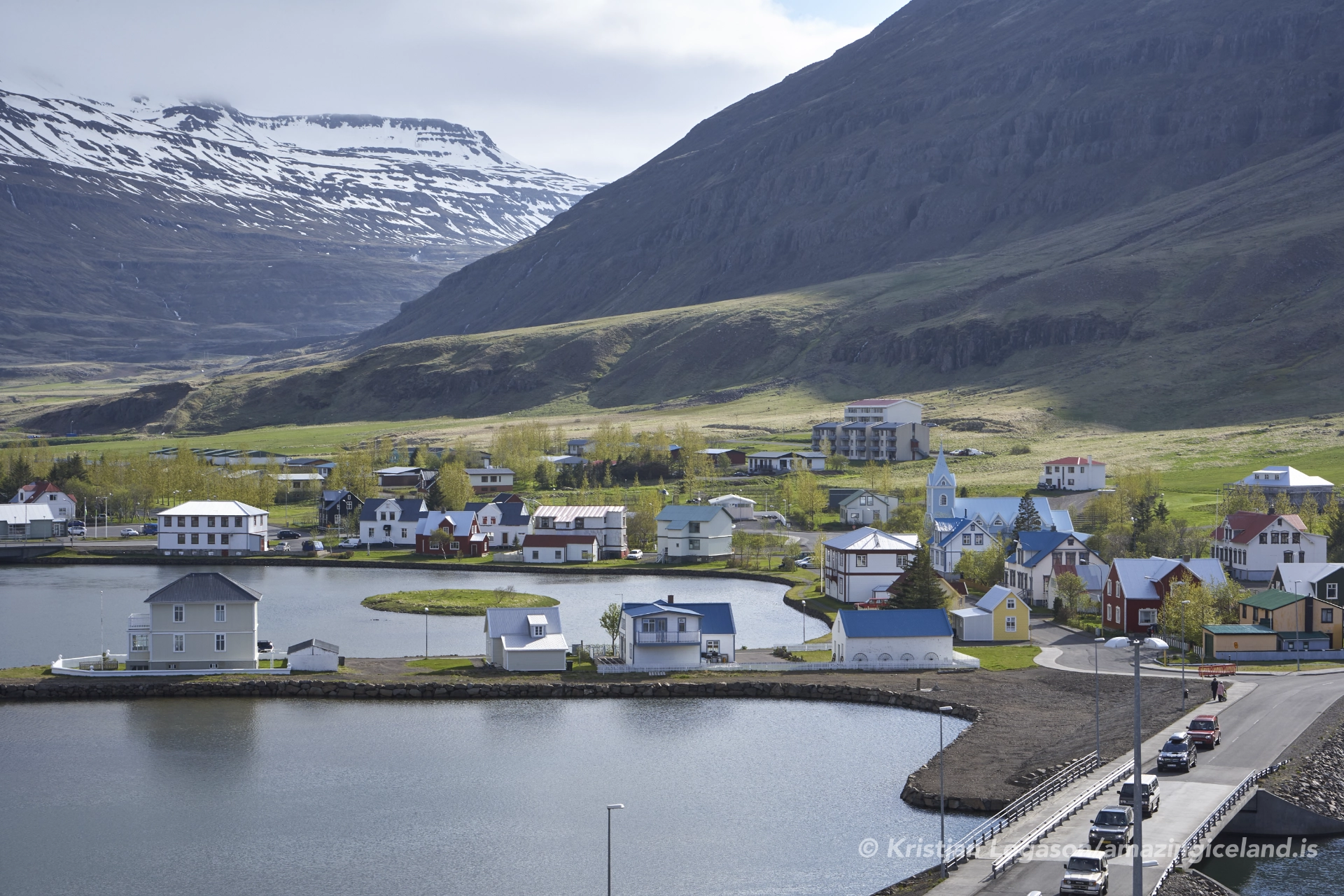
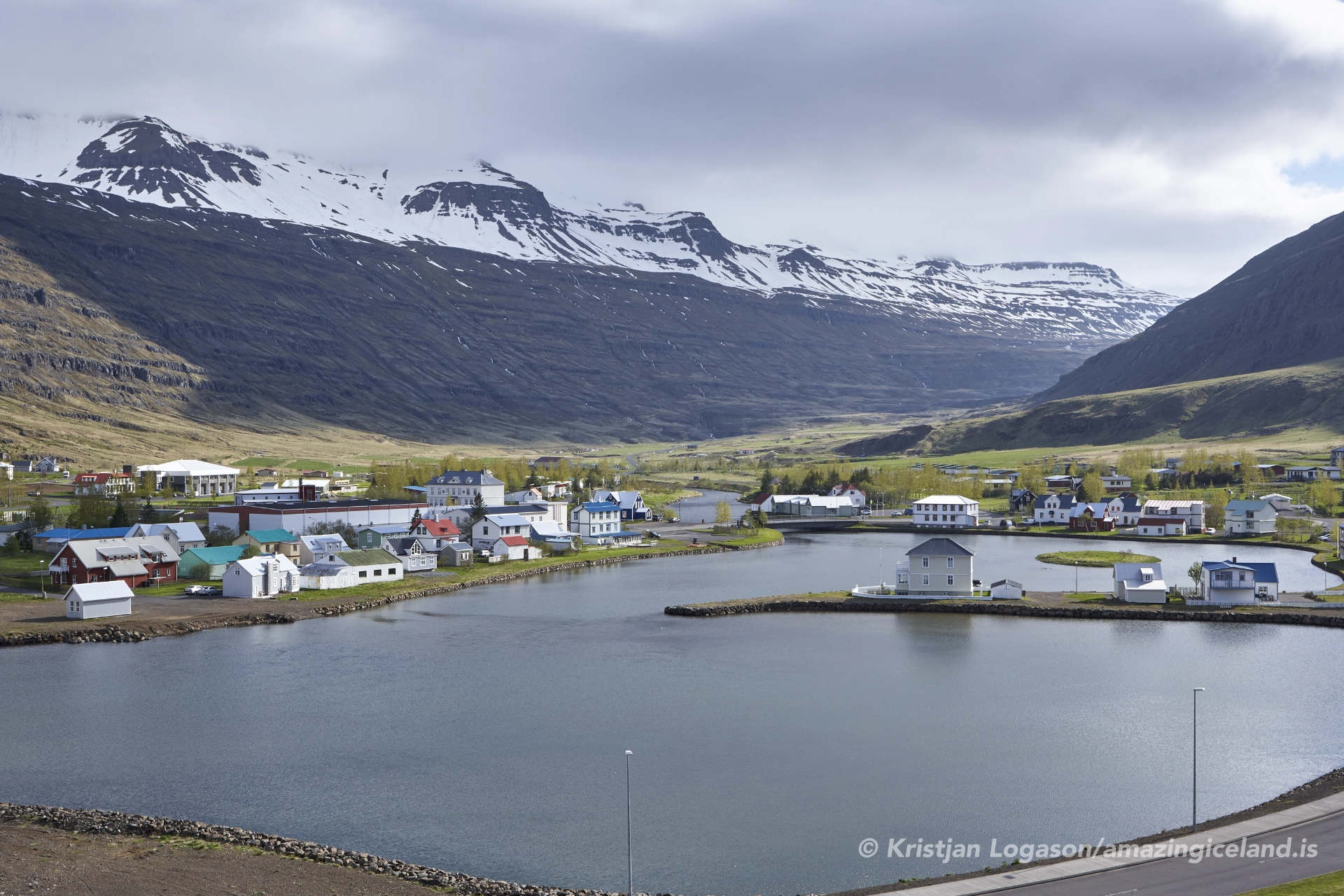
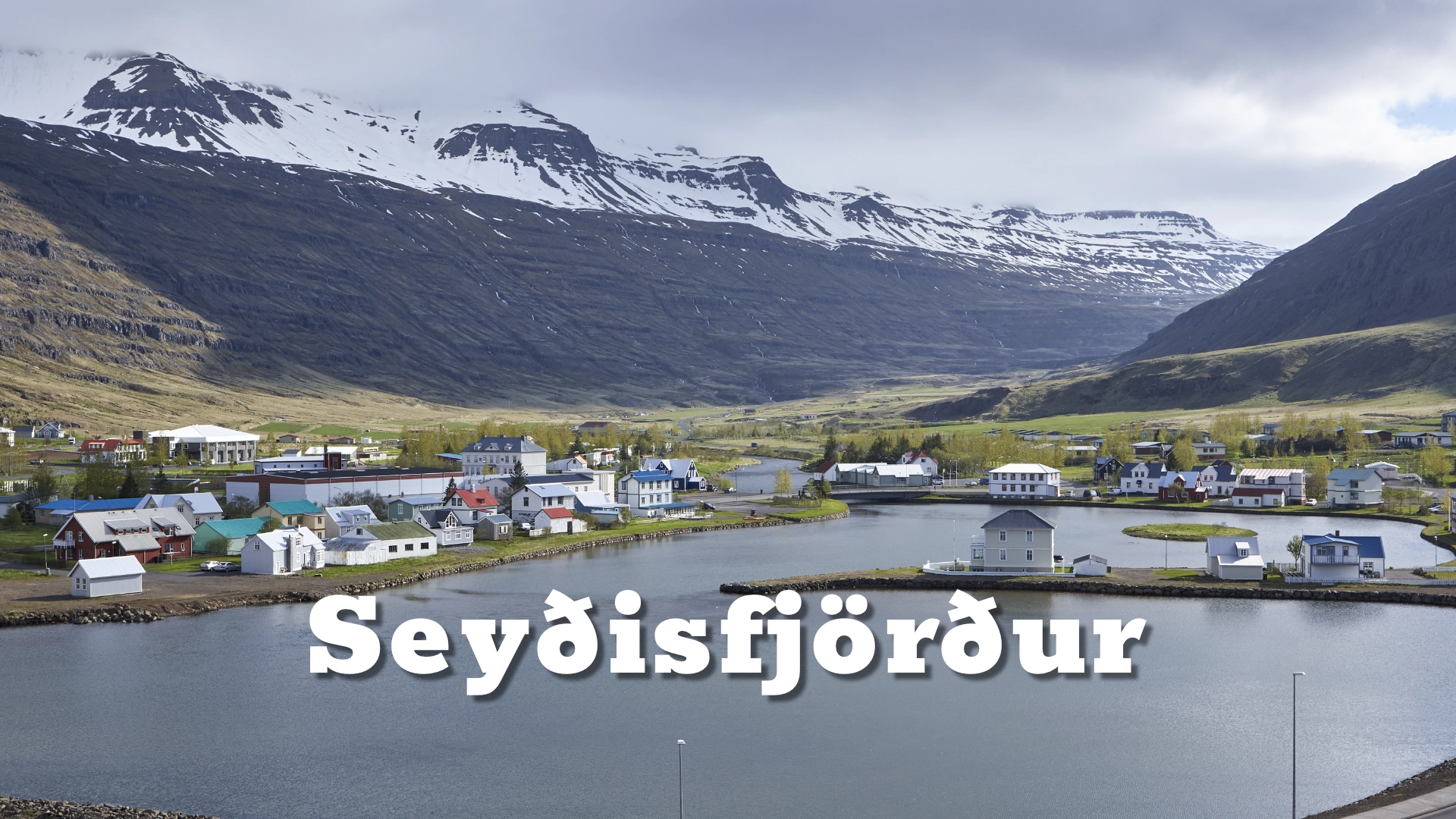
The road into Seyðisfjörður crosses Fjarðarheiði before descending steeply towards the town at the head of the fjord. Waterfalls fall from the mountainsides, the sea reaches deep into the landscape, and colourful wooden houses occupy the narrow strip of land between the water and the slopes.

Seyðisfjörður developed through fishing, trade and communication with the outside world. Norwegian influence remains visible in its architecture, while artists, musicians and cultural organisations later added another layer to the town’s identity. The arrival of the Norröna ferry during its Iceland sailing season continues a direct international connection that has shaped the settlement for more than a century.

In December 2020, a series of landslides damaged and destroyed buildings and forced the evacuation of the town. The event permanently changed part of Seyðisfjörður’s physical and emotional landscape and became an important new chapter in the history of the community.

The location of Seyðisfjörður: A Hidden Cultural Gem in East Iceland

Latitude
65.26061677462377
Longitude
-14.010054835079268

Seyðisfjörður: A Hidden Cultural Gem in East Iceland

A town shaped by international connections

Seyðisfjörður developed rapidly during the second half of the nineteenth century as Norwegian entrepreneurs became involved in herring fishing and trade in East Iceland. The sheltered fjord offered good harbour conditions, and the settlement grew into an important centre for fishing and commerce.

The connection with Norway influenced the appearance of the new town. Timber buildings and Norwegian building traditions gave central Seyðisfjörður a character that remains distinct from many other Icelandic towns. A substantial collection of historic wooden houses survives, although restoration, new colours and changing uses have added later layers to their nineteenth-century origins.

The harbour also became important to Iceland’s early international communications. A submarine telegraph cable linking Iceland with Europe came ashore at Seyðisfjörður in 1906, making the town a vital point in the country’s connection with the wider world. Telegraphy, shipping and trade reinforced an international identity despite the settlement’s enclosed geographical position.

That apparent contradiction still defines Seyðisfjörður. It lies at the end of a narrow fjord, separated from the inland region by a mountain pass, yet its harbour has connected it directly with other countries for generations. Today, the town forms part of the municipality of Múlaþing. Its population is small, but its architecture, harbour and cultural life give it a significance beyond its size.

Fjarðarheiði and the journey into town

The only road into Seyðisfjörður crosses Fjarðarheiði from Egilsstaðir. The road climbs from the inland valley onto an open mountain plateau before descending towards the fjord through steep slopes, streams and waterfalls.

Fjarðarheiði remains in use throughout the year and closes less often than its exposed setting might suggest. Winter conditions can nevertheless be difficult. Snow, wind and poor visibility may affect the pass, and temporary closures do occur. Travellers should check current road conditions before crossing in winter rather than relying on general seasonal descriptions.

Designated stopping places along the descent provide views over the town, harbour and length of the fjord. It is one of the defining approaches to any town in East Iceland, but drivers should use proper pull-offs and never stop where the road is narrow or visibility is limited.

Seyðisfjörður also has a direct maritime connection with Europe. The ferry Norröna follows a weekly route linking the town with the Faroe Islands and Denmark during its Iceland sailing season. Its arrival brings passengers, vehicles and freight into the harbour and briefly changes the rhythm of the town. Sailing dates and road conditions should always be checked before travelling, as neither the ferry nor the mountain pass follows an unchanging year-round pattern.

The landslides of December 2020

Following prolonged and exceptional rainfall, several landslides struck Seyðisfjörður between 15 and 18 December 2020. The largest fell on 18 December and was described by the Icelandic Met Office as the largest landslide known to have damaged an urban area in Iceland.

More than ten buildings were destroyed or damaged, including part of the historic complex occupied by the Technical Museum of East Iceland. Residents were evacuated as the slopes above the town became unstable. Despite the scale and speed of the event, nobody was killed or physically injured.

The landslides did more than damage individual structures. They altered an area where architecture, industrial history and personal memory had accumulated over generations. Objects were recovered from damaged buildings, some structures had to be removed or relocated, and the future use of the affected ground had to be reconsidered.

Hazard assessments were subsequently revised, and work on monitoring and protective measures has continued. Recovery cannot be reduced to a reconstruction project with a clear ending: the event changed how the community understands the mountainsides around it and how development must respond to the landscape.

The Technical Museum of East Iceland, or Tækniminjasafn Austurlands, was particularly badly affected. Part of its collection and several buildings associated with the museum were damaged or lost. The museum has since established an exhibition in Vélsmiðjan at Hafnargata 38, while plans for a future museum site continue. Visitors should check current opening arrangements before arriving.

The landslides are inseparable from the recent history of Seyðisfjörður. They do not define the whole town, but a truthful account of the place cannot present only architecture, art and scenery while leaving the event unmentioned.

Architecture, art and cultural life

Seyðisfjörður has developed a cultural identity unusual for a town of its size. Historic buildings have been adapted as studios, exhibition rooms, workshops and performance spaces, allowing contemporary activity to become part of the existing town rather than something isolated from it.

The blue-painted Bláa kirkjan, commonly called the Blue Church in English, is one of the town’s most recognisable buildings. Rainbow Street, a painted path through the centre, leads towards it. Together they form Seyðisfjörður’s most familiar photographic composition, but they are only the most visible part of a much broader cultural environment. Bláa kirkjan also hosts concerts and other events, with programmes changing from year to year.

The Skaftfell Art Center has played an important role in contemporary art in East Iceland through exhibitions, residencies and education. Its presence reflects a culture in which art is produced and discussed locally rather than merely displayed for visitors.

From 2000 to 2024, the LungA art festival played a formative part in the town’s recent cultural development. Across twenty-five editions, its workshops, exhibitions, performances and concerts brought young artists and musicians to Seyðisfjörður. The festival concluded after its 2024 edition, but its influence remains visible in the artistic community. The independently operated LungA School continues its own educational and creative work.

On the mountainside above the town stands Tvísöngur, a site-specific sound sculpture by German artist Lukas Kühne, opened in 2012. Five interconnected concrete chambers resonate at different frequencies corresponding to the traditional Icelandic five-tone harmony.

Tvísöngur is intended to be experienced from within. Speech, singing and other sounds activate the chambers and reveal their different resonances. Its position also provides a broad view across the town and along the fjord. Reaching the work requires an uphill walk, and path conditions vary with the weather and season.

Vestdalur and the Mountain Woman

Vestdalur, on the northern side of the fjord, preserves evidence of movement and settlement beyond the modern town centre. Paths through this landscape once formed part of the routes between the coast and the country inland, and traces of earlier habitation and travel remain in the valley and surrounding mountains.

One of Iceland’s most unusual archaeological discoveries was made above Vestdalur in 2004. Two local men crossing a boulder field near Afréttarskarð, above Vestdalsvatn, found bronze brooches among the rocks. Archaeological investigation later uncovered partial human remains together with five bronze brooches and approximately 500–600 beads.

The remains belonged to a young woman who lived during the first half of the tenth century, near the beginning of Iceland’s settlement history. She has since become known as Fjallkonan—the Mountain Woman.

The quantity of jewellery found with her was exceptional. The beads alone formed a remarkably large collection in an Icelandic archaeological context, suggesting that she carried objects of considerable material and personal value. Yet the discovery raised more questions than it answered.

The woman was initially thought to have been buried in the mountains. Later research has proposed another possibility: that she died while travelling across the high ground rather than being placed in a formal grave. The incomplete remains, the unusual location and the circumstances of the find make a simple explanation difficult.

Her identity remains unknown. We do not know precisely where she came from, why she was crossing the mountains or why she carried so much jewellery. The objects found with Fjallkonan have been conserved and studied, and selections have been exhibited at the East Iceland Heritage Museum in Egilsstaðir.

The discovery places Seyðisfjörður within a much longer history of movement through the landscape. Long before the nineteenth-century town, the telegraph cable, the ferry or the modern road across Fjarðarheiði, people were already travelling between the fjords and the inland regions across these mountains.

Interesting facts:

  • Seyðisfjörður developed rapidly during the nineteenth century through fishing and trade, with particularly strong Norwegian influence.
  • A submarine telegraph cable linking Iceland with Europe came ashore at Seyðisfjörður in 1906.
  • The Norröna ferry connects Seyðisfjörður with the Faroe Islands and Denmark during its Iceland sailing season.
  • The largest landslide in December 2020 was described as the largest known to have damaged an urban area in Iceland.
  • Tvísöngur contains five resonating concrete chambers based on traditional Icelandic five-tone harmony.
  • The LungA art festival ran from 2000 until its final edition in 2024.
  • The tenth-century Mountain Woman was found above Vestdalur with five bronze brooches and approximately 500–600 beads.
  • Rainbow Street leads towards Bláa kirkjan, one of the town’s most recognisable buildings.

Image Gallery

Photography tips:

  • Photograph the descent from Fjarðarheiði. Designated stopping places provide broad views over the town and the length of the fjord. Keep well clear of traffic and never stop on the road itself.
  • Look beyond Rainbow Street. The familiar view towards Bláa kirkjan works because the painted street forms a strong leading line, but the surrounding wooden houses and side streets reveal much more of the town’s character.
  • Use subdued weather. Low cloud and soft, flat light often suit the coloured timber buildings, reducing harsh contrast and allowing their form and surface to carry the image.
  • Show the relationship between town and mountain. From the harbour and lower streets, the slopes rise immediately behind the buildings. Wider compositions reveal how little level ground the settlement occupies.
  • Walk towards Tvísöngur for a higher viewpoint. The hillside gives a wider view over the town and harbour, although weather and path conditions should be considered before setting out.
  • Treat the landslide area with sensitivity. It is part of a living community and the site of a recent traumatic event, not merely an abandoned subject for dramatic photographs.

Destinations nearby

Petra stone collection
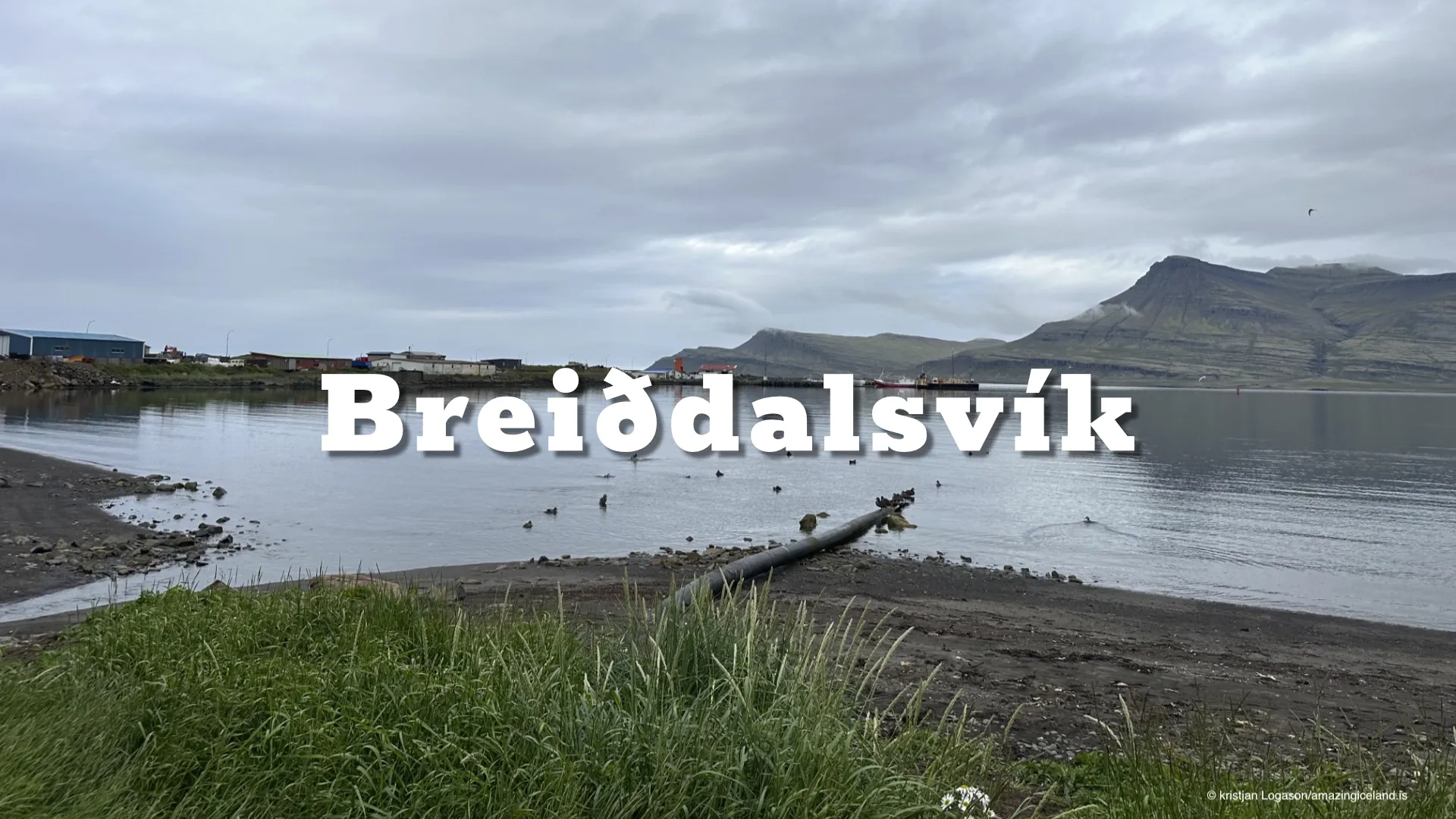
Breiðdalsvík
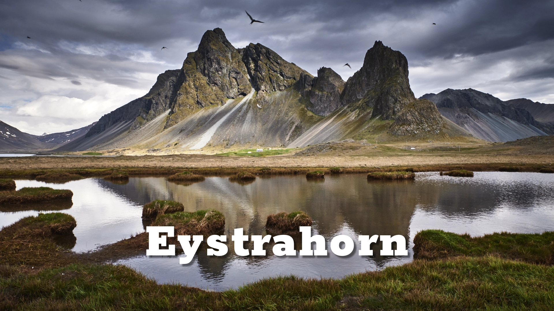
Eystrahorn, sometimes overshadowed by its famous neighbor Vestrahorn, is one of East Iceland's most striking and remote mountains. Rising dramatically from the Atlantic Ocean along the Hvalnes Peninsula
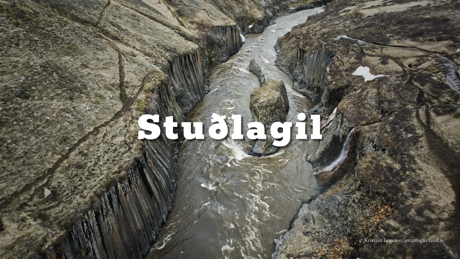
Studlagil canyon