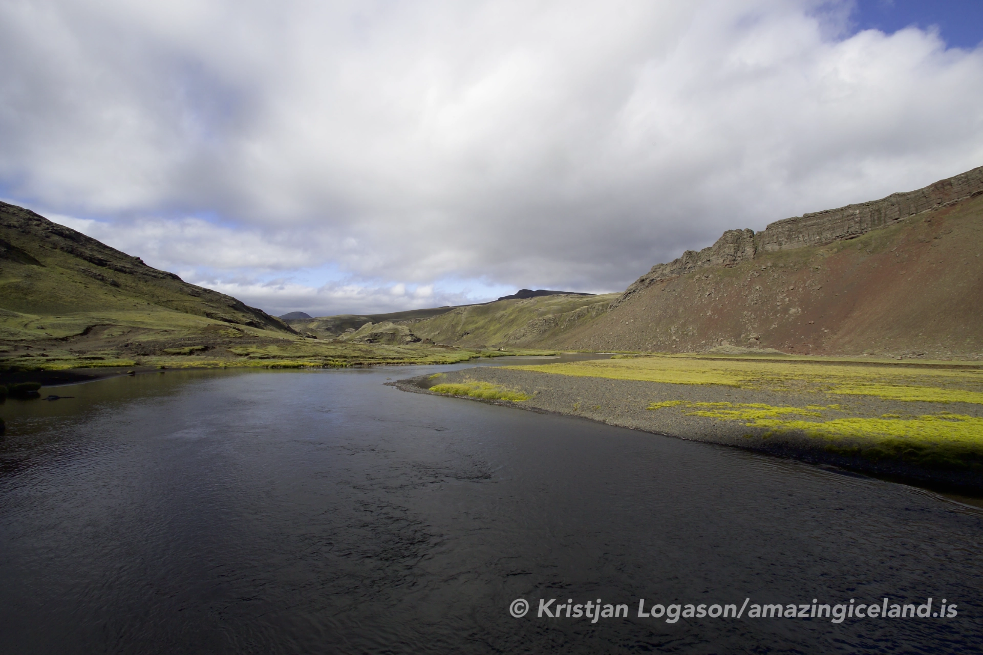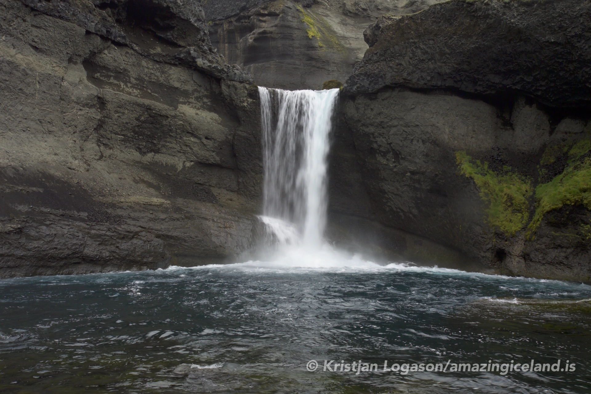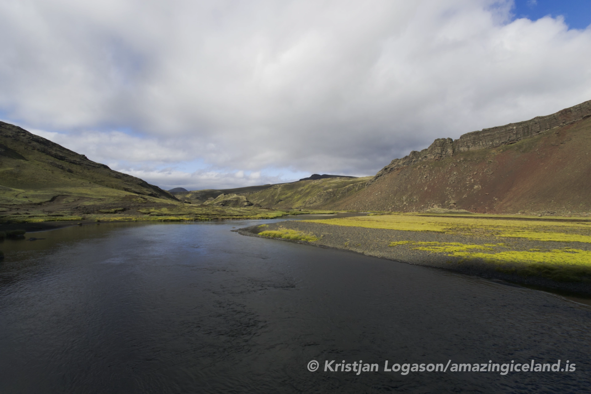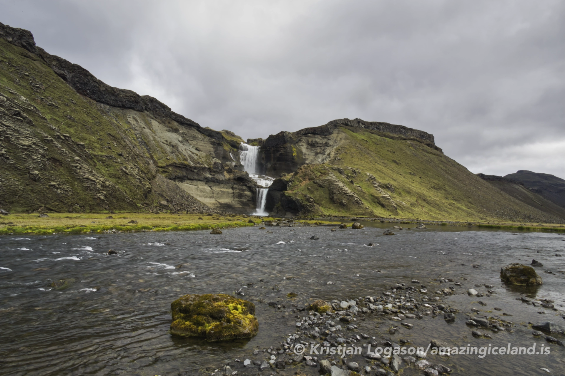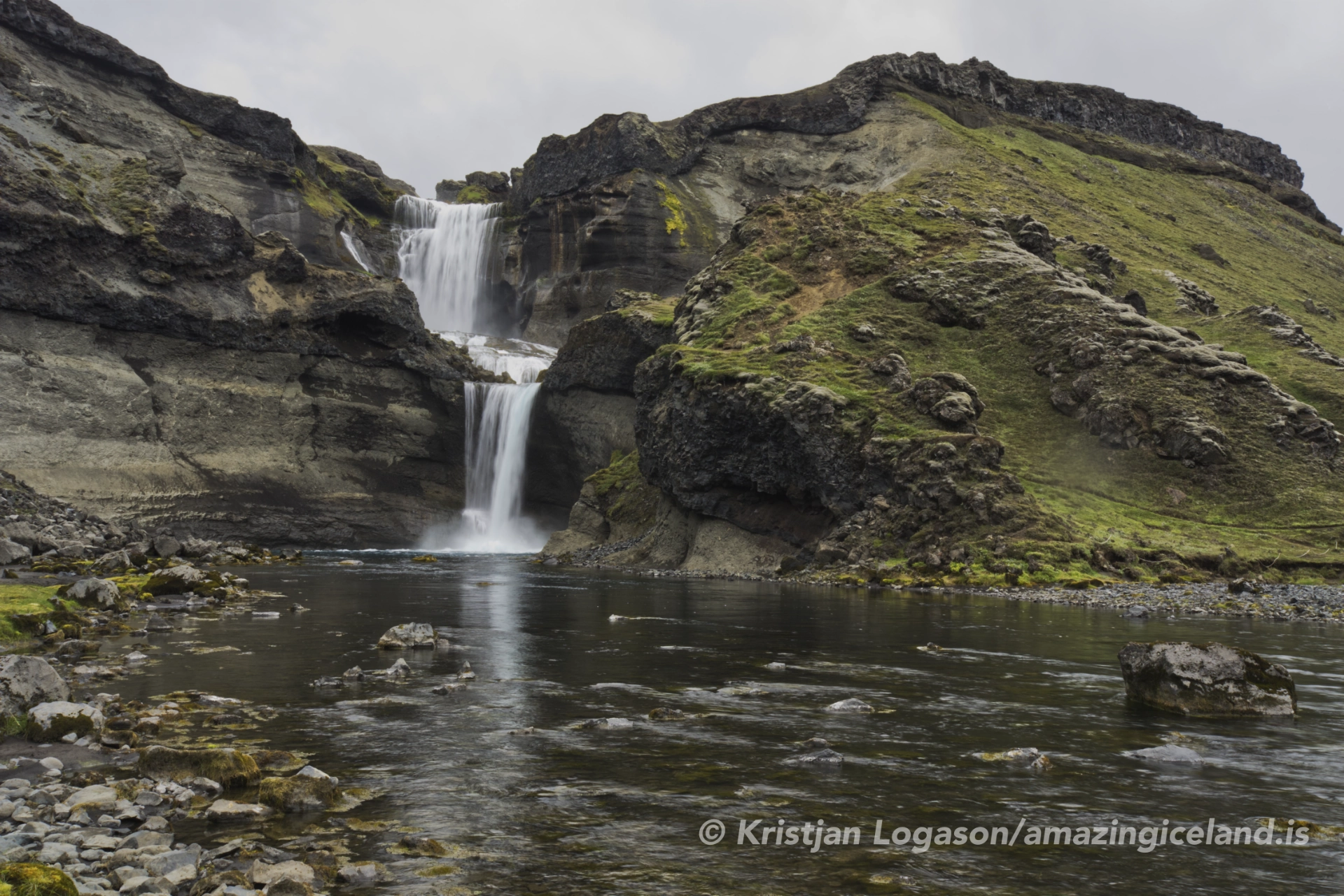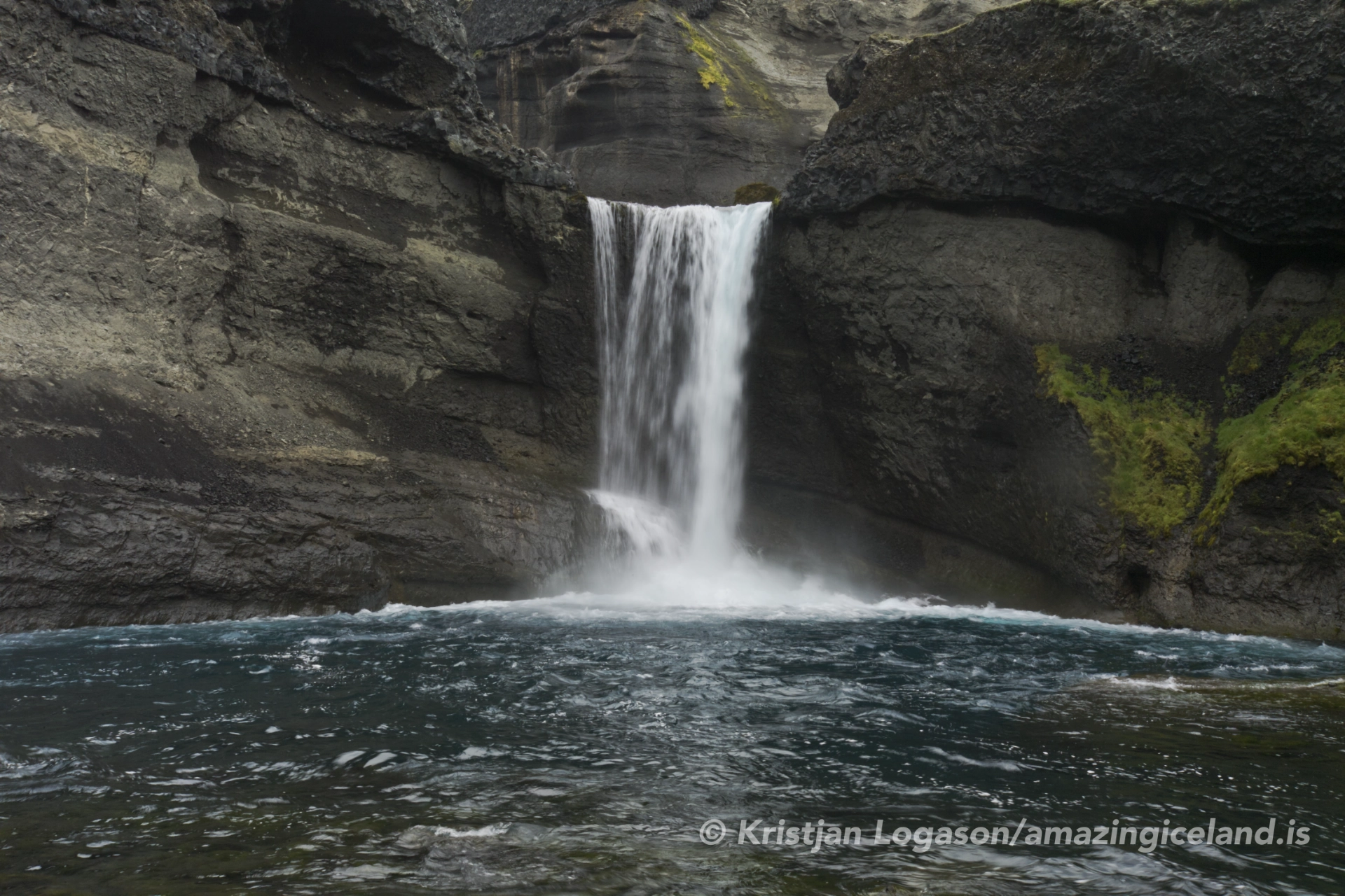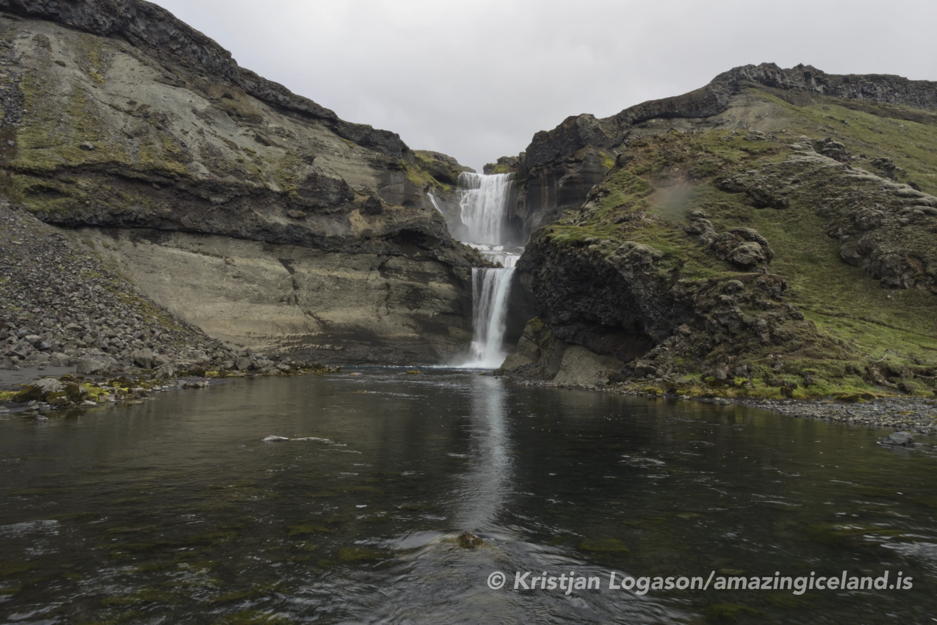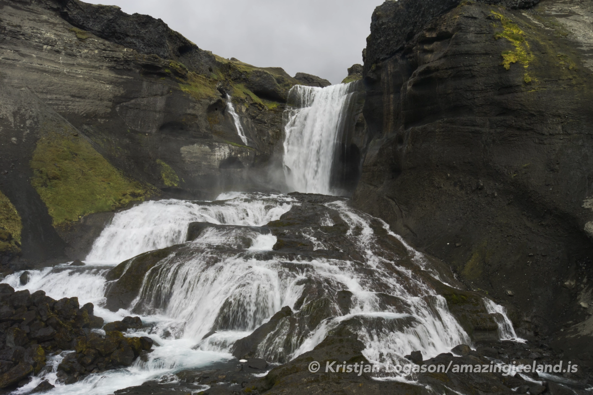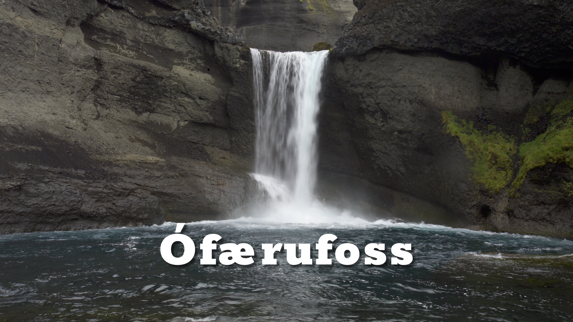
Ófærufoss enters Eldgjá as two distinct cascades, carrying Nyrðri Ófæra down the wall of a canyon created by one of the great eruptions of Iceland’s settlement period. Dark rock, green moss and white water meet in a confined landscape whose scale is difficult to understand until the waterfall appears ahead at the end of the walk.
The waterfall was once known equally for a natural rock arch spanning its lower section. The arch collapsed in 1993, changing one of the most familiar views in the Icelandic Highlands. Ófærufoss remains a powerful destination without it. The two tiers, the course of the river and the surrounding walls of Eldgjá provide the substance of the present landscape rather than merely the remains of a lost formation.
From the main Eldgjá parking area, the marked canyon-floor route is generally straightforward in reasonable summer conditions. Vatnajökull National Park allows approximately 2.5 hours for the 2.5-kilometre visit, including the return walk and time at the waterfall. Faster walkers may reach the falls in less than an hour, but this is a place where the published allowance is sensible: the destination deserves time, and highland conditions should never be hurried.
The location of Ófærufoss waterfall in the Highlands of Iceland
Latitude
63.9649
Longitude
-18.6168
Ófærufoss waterfall in the Highlands of Iceland
A two-tiered waterfall in Eldgjá
Ófærufoss is formed where Nyrðri Ófæra descends into the principal canyon of Eldgjá. The river falls in two stages rather than one uninterrupted drop. From the main viewing area, both tiers can be seen together and read as a single composition within the canyon wall.
No dependable official measurement of the total waterfall height has been established for this page. The uncertain figures repeated by secondary sources are less useful than the form visitors can see: an upper fall, a lower fall and the river continuing across the floor of Eldgjá.
The name Ófærufoss carries the practical sense of “impassable waterfall,” although the falls take their name from the river. The river is Nyrðri Ófæra, distinguishing it from Syðri Ófæra farther south.
Ófærufoss lies in the northern part of Eldgjá, which was incorporated into Vatnajökull National Park in 2011. It should not be described as part of Friðland að Fjallabaki, even though the journey passes through the wider Fjallabak highland region.
The natural arch that collapsed in 1993
A natural rock arch once crossed the lower part of Ófærufoss. Water passed beneath it, creating an unusual structure in which the arch and cascades appeared as one formation. Photographs made before its collapse preserve a landscape that no longer exists.
The arch fell in 1993, apparently following the spring thaw. Its loss was not the disappearance of the waterfall but a natural change within it. Water, frost and gravity continue to act on the canyon walls, and the present form of Ófærufoss is one stage in that longer process.
Current photographs must not imply that the arch still stands. Any historic image used in the future should be dated and clearly identified as showing Ófærufoss before 1993. None of the photographs currently attached to this page shows the arch.

Nyrðri Ófæra and the volcanic canyon
Eldgjá belongs to the Katla volcanic system. The great Eldgjá eruption is now dated to 939–940 CE and produced an extensive fissure and lava system. It ranks among the largest lava-producing eruptions of the Common Era.
The familiar canyon called Eldgjá is only part of that much longer eruptive system. Its principal section is approximately eight kilometres long. Around Ófærufoss, the canyon reaches approximately 600 metres in width and 150 metres in depth. These figures should not be confused with measurements applied to the entire fissure and crater row.
This page keeps that geology in proportion because Eldgjá is a destination in its own right. At Ófærufoss, the most important relationship is immediate: Nyrðri Ófæra enters the volcanic structure, crosses its wall in two cascades and continues through a landscape shaped by the eruption.
Reaching the main Eldgjá parking area
Ófærufoss is reached from F208 in the southern Highlands. The road is rough and seasonal, and a suitable four-wheel-drive vehicle is strongly advisable. Opening dates vary each year, so current road and weather information must be checked before departure.
On the usual western approach to the main Eldgjá parking area, the important vehicle crossing is Ströngukvísl. It is an unbridged ford. Its presence must not be confused with the pedestrian bridges on the walking route inside Eldgjá.
River depth, speed and the condition of the riverbed can change. A capable vehicle does not remove the need for judgement. If Ströngukvísl appears too deep, fast or uncertain, do not enter it. Turn back or use the alternative parking area south of the river.
There are no general services at the waterfall itself. Travellers should carry suitable clothing, food, drinking water and enough fuel for the highland journey. Mobile coverage should not be assumed, and plans should allow for delays or retreat.
The alternative approach from Ströngukvísl
Visitors who do not drive through Ströngukvísl can park south of the ford and cross the river on a pedestrian bridge. From there, a path follows Nyrðri Ófæra for approximately two kilometres into Eldgjá before joining the main visitor area.
This adds roughly an hour of walking before the standard experience begins. It is a genuine alternative, not a claim that the wider F-road journey contains no river crossings. The pedestrian bridge avoids this particular vehicle ford; it does not turn F208 into an ordinary lowland road.
The choice should be made according to present conditions, the vehicle and the driver’s experience. Parking and walking are the correct response when the ford is unsuitable, not an inferior version of the visit.
Walking to Ófærufoss
From the main parking area, the marked route follows the floor of Eldgjá towards the waterfall. The visit is approximately 2.5 kilometres in total, and the national park recommends allowing around 2.5 hours for the return walk and time at the falls.
In reasonable conditions, the ordinary canyon-floor route is relatively easy rather than technically challenging. The footbridges are normally straightforward, and an experienced walker may take less than an hour in each direction. Visitors should nevertheless use the longer official allowance. Uneven ground, stops, changing weather and the desire to spend time at Ófærufoss all affect the journey.
The normal end point lies in front of the waterfall, far enough away for both tiers to be visible together. It provides the defining view and is sufficient for most visitors. Walking closer is possible, but the ground becomes more difficult and there is no need to approach the water to understand the falls.
Conditions can alter the character of even a straightforward trail. Rain makes rocks slippery, cold wind can move through the canyon and poor visibility complicates the return. Suitable footwear and warm, weather-resistant clothing remain important.
Interesting facts:
- Ófærufoss is a two-tiered waterfall in Nyrðri Ófæra.
- The waterfall lies within the northern part of Eldgjá in Vatnajökull National Park.
- A natural rock arch once crossed the lower fall but collapsed in 1993.
- None of the photographs currently attached to this page shows the arch standing.
- The Eldgjá eruption is dated to 939–940 CE and belongs to the Katla volcanic system.
- The principal canyon is approximately eight kilometres long and reaches about 600 metres wide and 150 metres deep around Ófærufoss.
- The standard visit from the main parking area is approximately 2.5 kilometres, with about 2.5 hours recommended for walking and time at the falls.
- Ströngukvísl can be crossed by vehicle at the ford or avoided by parking south of it and using the pedestrian bridge.
Photography tips:
- Use the principal viewing area for the complete relationship between both tiers.
- Include the walls of Eldgjá to establish the scale and setting of the waterfall.
- Change position along the established route: the two tiers overlap differently as the viewpoint shifts.
- A moderate telephoto can separate the white water from the dark canyon rock.
- A wider frame can connect Nyrðri Ófæra, the waterfall and the floor of Eldgjá.
- Overcast conditions help retain detail in both white water and dark rock.
- Deep canyon shadow can create high contrast at any time of day; expose for the water without allowing the surrounding rock to become empty black.
- Low side light may model the canyon well, but one tier can remain entirely in shade.
- Include people sparingly on the established route when a measure of scale is useful.
- Avoid excessive long-exposure smoothing, which can erase the structure of the two cascades.
- Do not leave the marked route or climb around the viewing area for a cleaner angle.
- Any photograph showing the former arch must be clearly identified and dated as a historic view made before its collapse in 1993.
- Drone pilots must check current national-park permission requirements and aviation rules before flying.