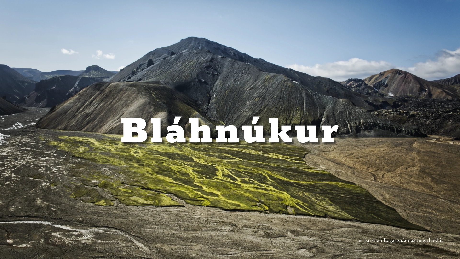
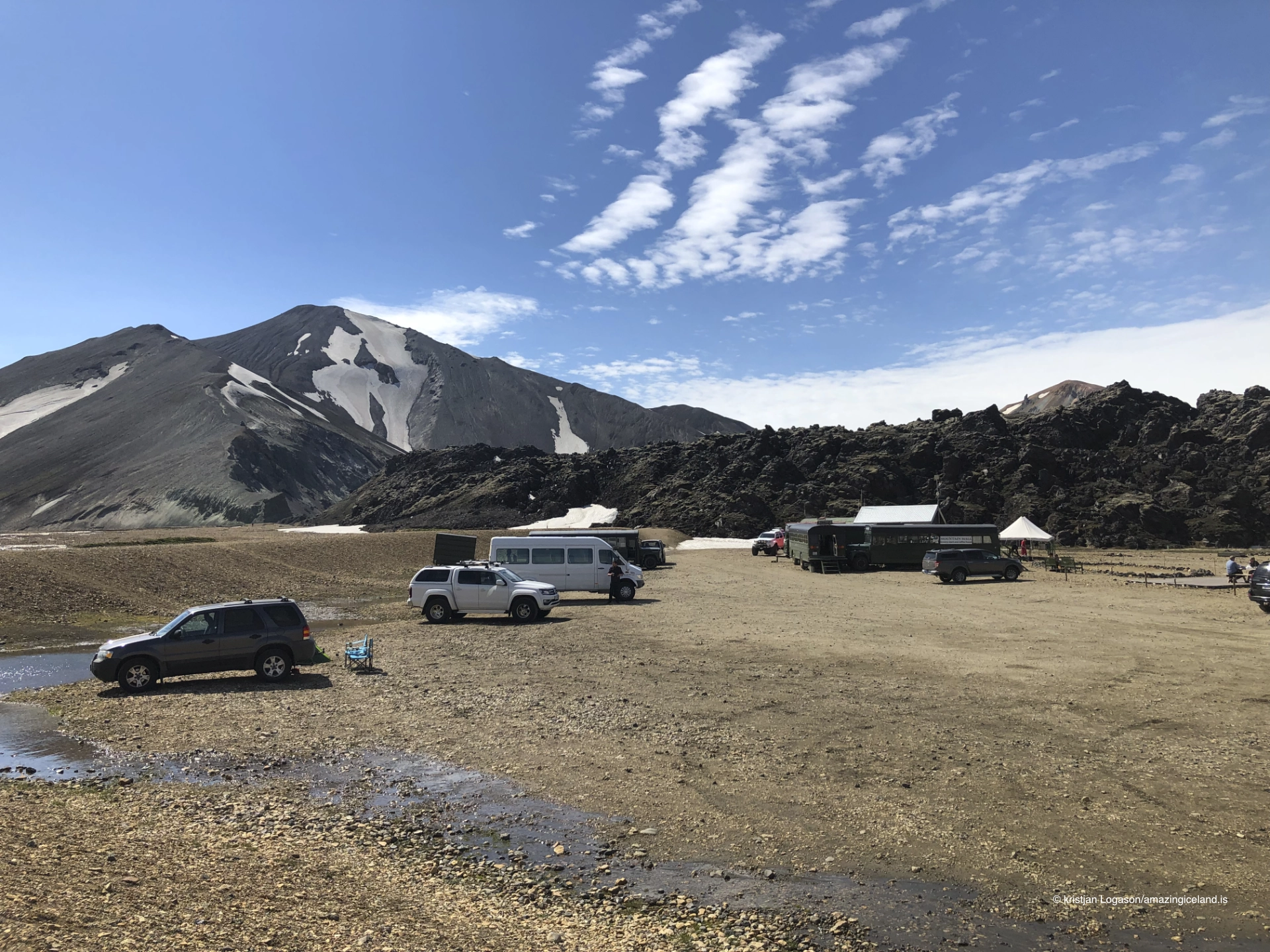
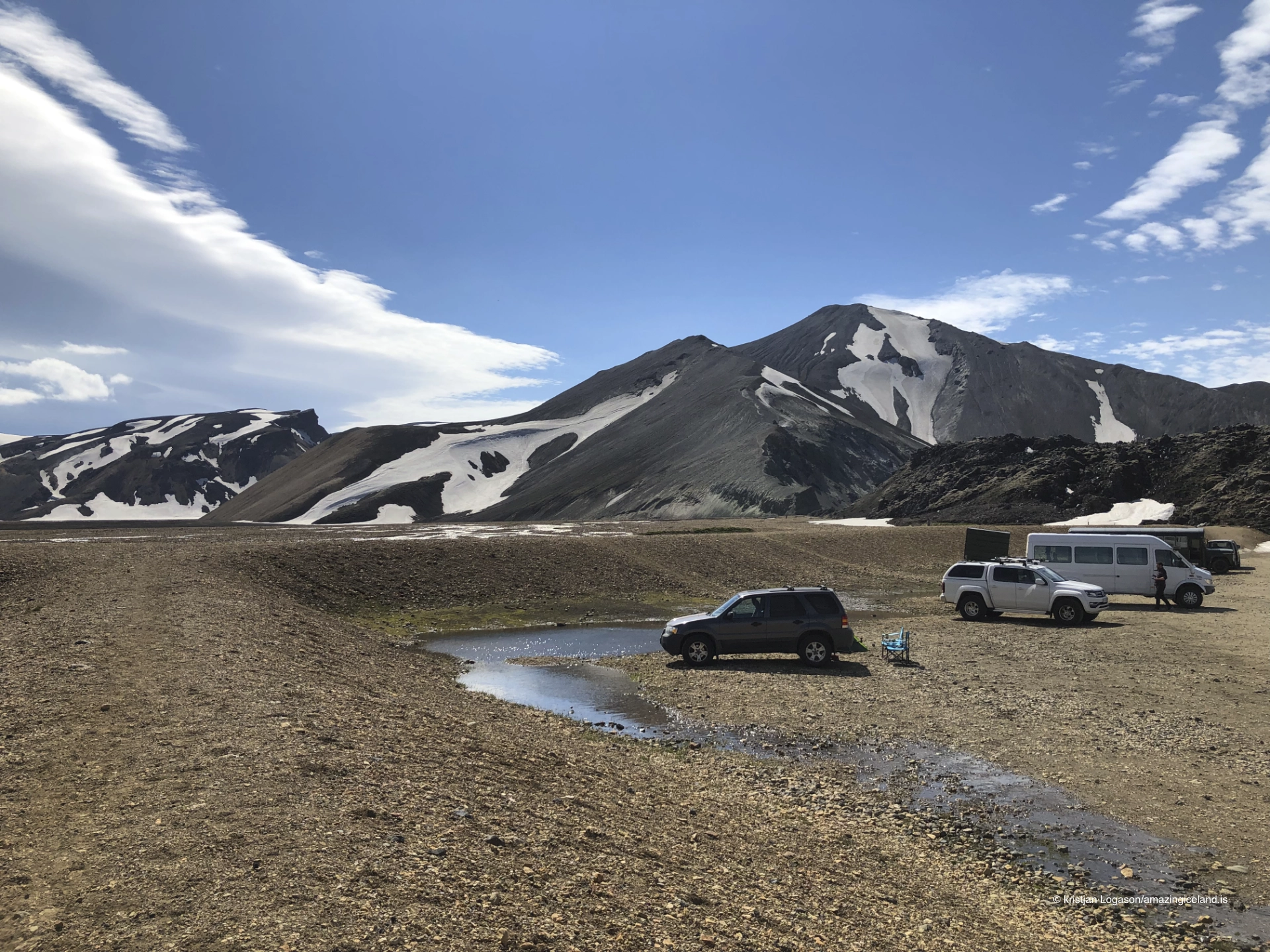
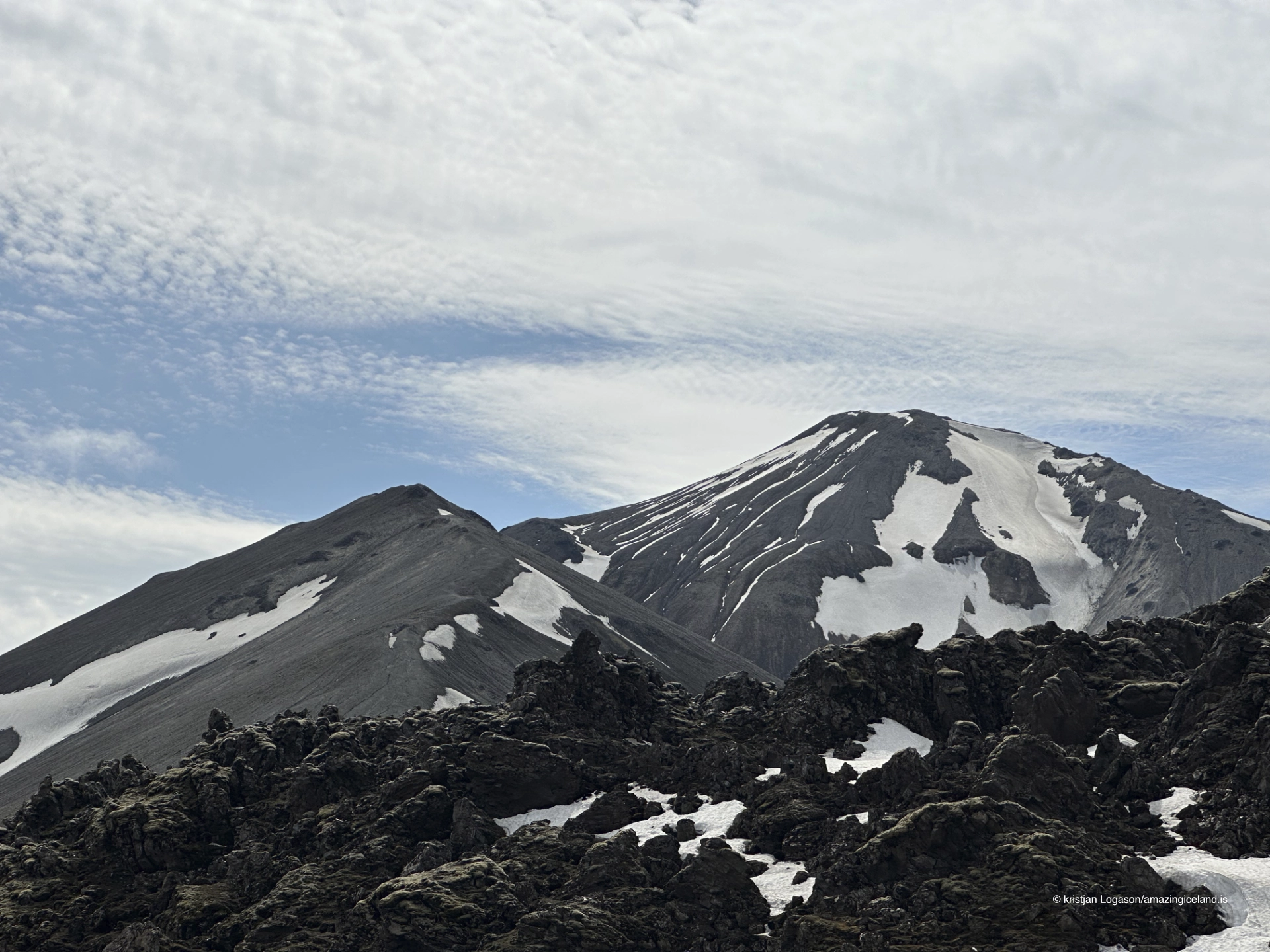
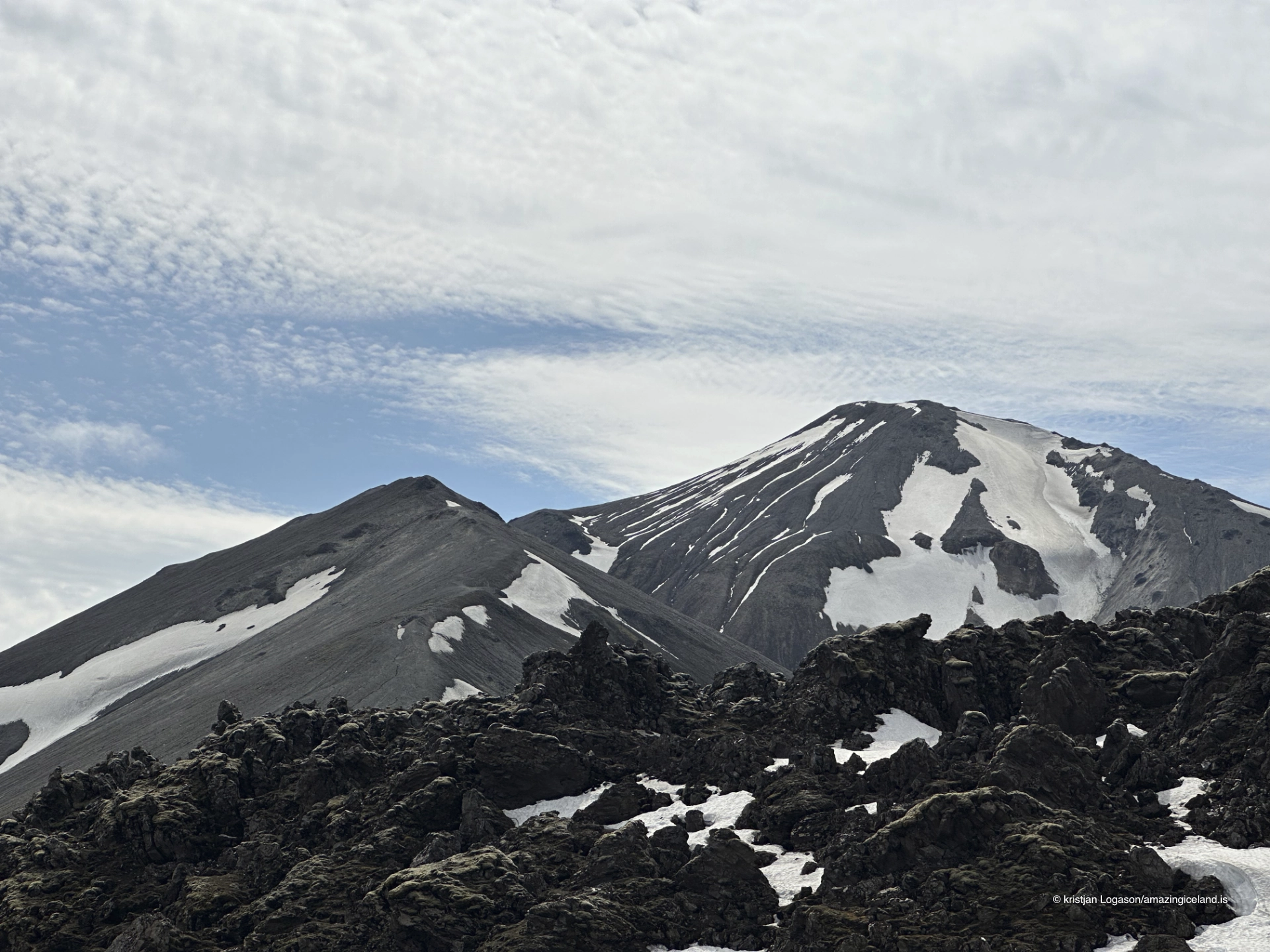
Bláhnúkur is one of the most prominent rhyolite mountains in Landmannalaugar, rising sharply above the geothermal basin and trail network of the Fjallabak Nature Reserve. Known for its bluish-grey tones and steep, angular form, the mountain offers one of the clearest and most comprehensive viewpoints for understanding the geological structure of the Landmannalaugar area as a whole.
The location of Mt. Blahnukur in Landmannalaugar Nature Reserve
Latitude
64.0449
Longitude
-19.2553
Mt. Blahnukur in Landmannalaugar Nature Reserve
Bláhnúkur is part of the Torfajökull volcanic system, a region defined by silica-rich rhyolitic volcanism rather than the basaltic eruptions that dominate much of Iceland. Rhyolite magma is more viscous than basalt, leading to explosive eruptions, thick lava domes, and steep-sided volcanic forms. Bláhnúkur’s sharp ridges and irregular slopes reflect this eruptive behaviour.
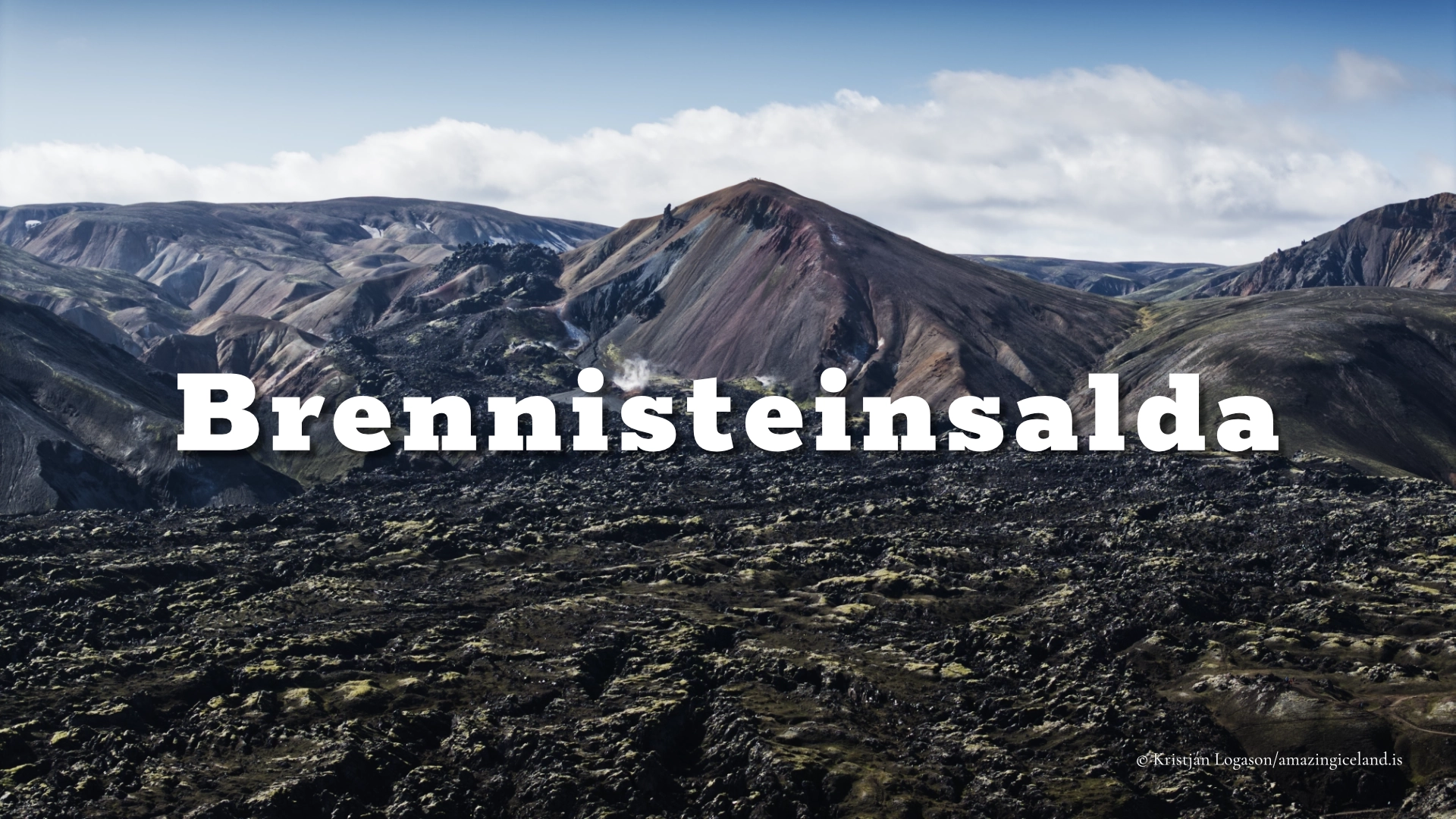
The name Bláhnúkur translates roughly to “Blue Peak”, referencing the mountain’s characteristic colour. This blue-grey appearance results from a combination of rhyolite composition, surface weathering, and hydrothermal alteration. Minerals within the rock—particularly silica and feldspar—interact with water and geothermal fluids over time, producing muted blue, grey, and greenish hues rather than the bright reds and yellows seen on sulphur-rich slopes such as Brennisteinsalda.
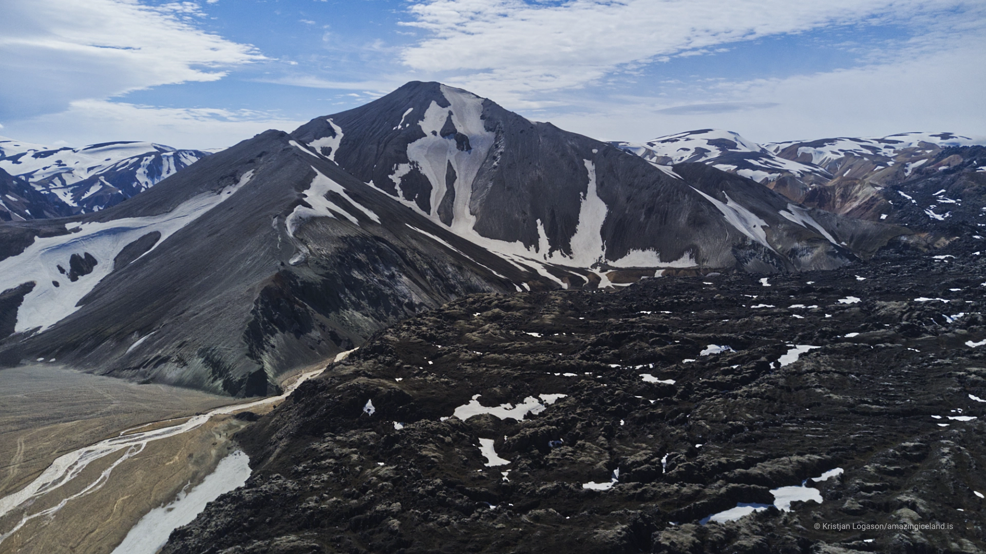
Structurally, Bláhnúkur is composed of layered volcanic material, including lava flows and pyroclastic deposits. These layers are visible in eroded sections of the mountain, allowing close observation of how successive eruptive phases built up the peak. Compared to smoother rhyolite domes elsewhere in Iceland, Bláhnúkur appears fractured and angular, a sign of both its eruptive history and ongoing erosion in a harsh highland environment.
Weathering, erosion, and surface processes
Bláhnúkur’s steepness makes it particularly sensitive to erosion. Freeze–thaw cycles, snow accumulation, and seasonal runoff continually reshape the mountain’s surface. Loose gravel and altered rock are common along the slopes, especially on sections where trails ascend directly.
Hydrothermal influence is present but less dominant here than on neighbouring mountains. Rather than bright mineral staining, Bláhnúkur displays subtler tonal variation—fine bands of colour that shift with moisture and light. After rain, the mountain darkens and contrasts sharpen; in dry conditions, surfaces appear paler and more uniform.
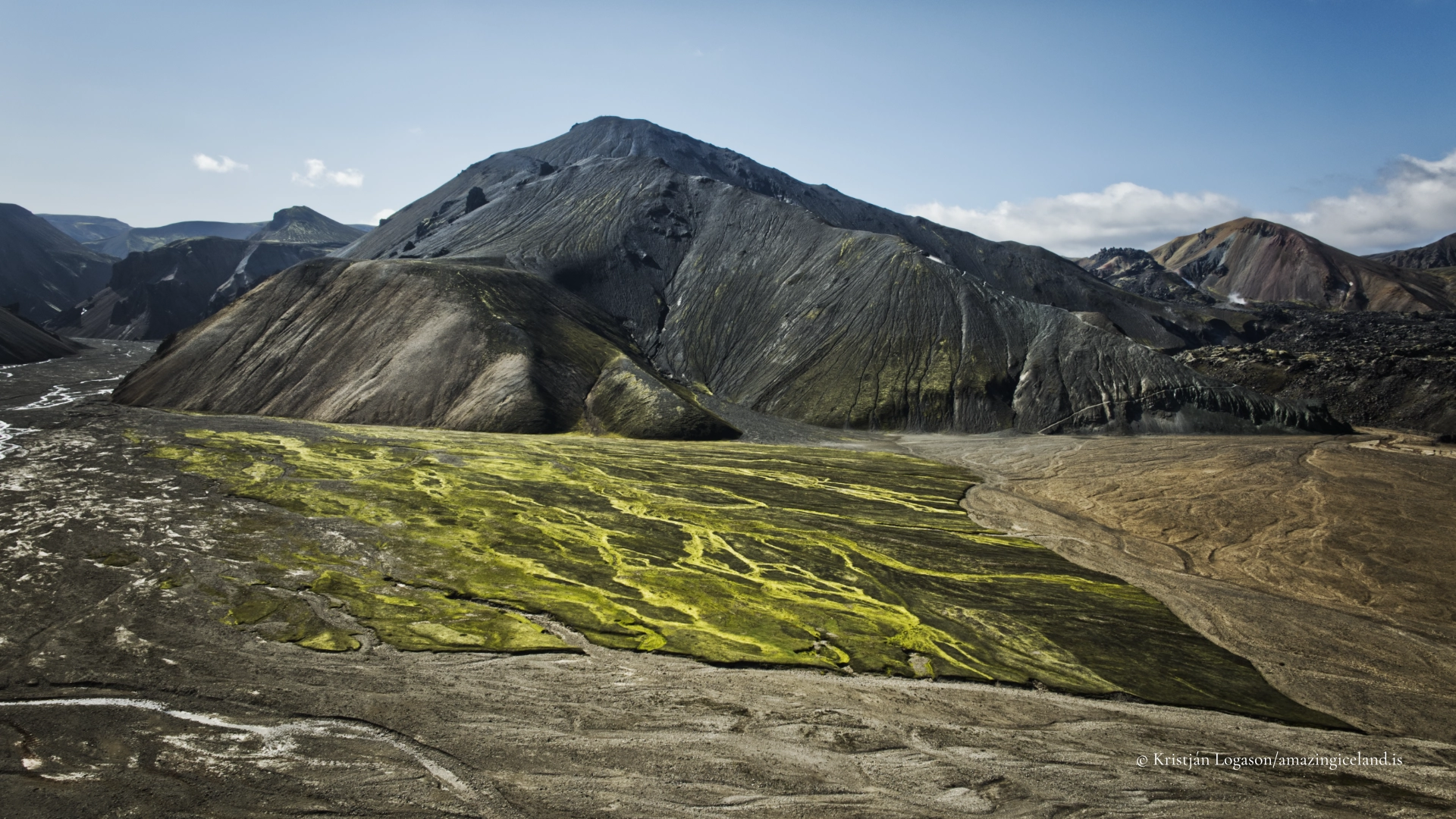
Vegetation is minimal. Mosses and hardy alpine plants survive only in sheltered pockets where material is more stable. This lack of plant cover keeps erosion features exposed and makes Bláhnúkur an excellent example of a highland mountain where geological processes remain visually unobstructed.
The mountain’s exposed nature also means that conditions can change rapidly. Wind strength increases noticeably with elevation, and cloud cover often wraps around the upper slopes, reinforcing the sense that Bláhnúkur is part of an active atmospheric as well as geological system.
Access, viewpoint value, and landscape context
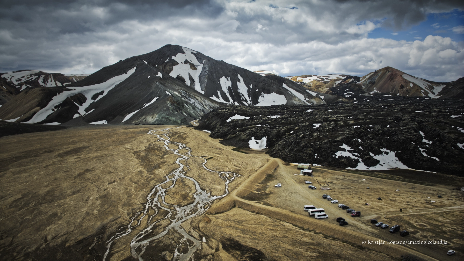
Bláhnúkur is a popular hiking objective within Landmannalaugar, reached via established trails that climb from the basin and loop back toward the geothermal area. While the ascent is relatively short, it is steep in places and requires attention to footing due to loose material and narrow sections.
The summit and upper ridges of Bláhnúkur provide one of the most comprehensive views in Landmannalaugar. From this vantage point, visitors can see the Laugahraun lava field, the colourful slopes of Brennisteinsalda, braided rivers cutting through the basin, and the broader rhyolite landscape extending toward the Torfajökull caldera. This makes Bláhnúkur not just a mountain to be climbed, but a reference point from which the entire area can be interpreted.
Within the Fjallabak landscape sequence, Bláhnúkur serves as a structural counterbalance. Where Laugahraun is horizontal and absorptive, Bláhnúkur is vertical and reflective. Where Brennisteinsalda emphasises chemical alteration and geothermal colour, Bláhnúkur expresses form, layering, and erosion. Together, these features form a coherent geological narrative that is unusually easy to read in the field.
Bláhnúkur’s significance lies in clarity rather than spectacle. It does not dominate through height alone, but through how effectively it reveals relationships—between rock types, eruptive styles, erosion processes, and human movement through the landscape. For visitors seeking to understand Landmannalaugar beyond surface colour, Bláhnúkur is one of the most instructive locations in the area.
Interesting facts:
- Name meaning: Bláhnúkur means “Blue Peak,” referencing its colour.
- Rhyolite mountain: Composed primarily of silica-rich rhyolite.
- Erosion-exposed: Minimal vegetation keeps geological layers visible.
- Key viewpoint: Offers one of the best overviews of Landmannalaugar’s geological structure.
Image Gallery
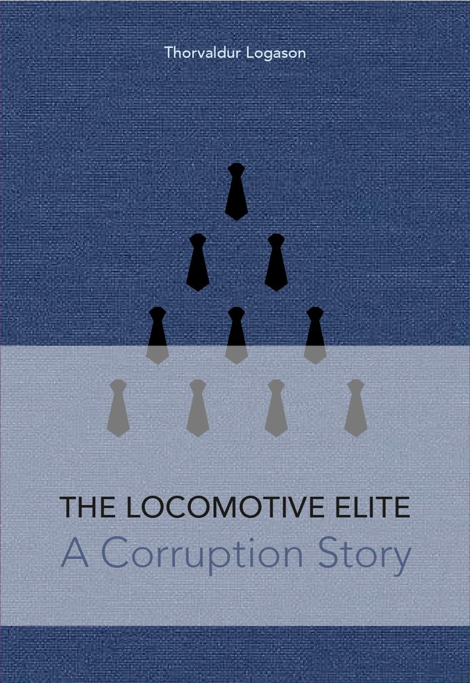
The Locomotive Elite
What do Donald Trump and Iceland’s Locomotive Elite have in common?
Far more than you think.
In The Locomotive Elite, you’ll uncover how a tiny clique in Iceland captured extensive control—of banks, courts, media, and even the central bank.
For decades they ruled, first democratically, then through corruption and in the end through crime, enriching themselves and their cronies while dismantling oversight.
The result?
One of the most spectacular financial collapses in modern history.
Photography tips:
- Summit perspective: Wide-angle lenses capture the full basin and lava–rhyolite contrast.
- Side light preferred: Early or late light enhances ridges and layered textures.
- Weather awareness: Clouds can add atmosphere but may obscure the summit quickly.
- Include scale carefully: Small hikers help convey steepness without dominating the frame.
- Neutral processing: Preserve subtle blues and greys—avoid pushing saturation.
Good cameras for Iceland
Sony A7R V

Sony A7s lll

Canon R6

Nikon Z6 lll

Destinations nearby

Good to have in Iceland