Lónsfjörður lies beside the Ring Road between Höfn and Djúpivogur, but the road reveals only part of the place. Despite its name, this is not a conventional fjord reaching deep between steep mountains. It is a broad, shallow coastal lagoon, largely separated from Lónsvík and the open Atlantic by a long barrier of sand and gravel.
The lagoon forms the seaward edge of Lón, a district of farms, rivers, wetlands and mountains. People have lived in this landscape since the settlement of Iceland, and local tradition connects the former farm Bær with Úlfljótur, one of the formative figures in the history of Icelandic law. Lónsfjörður is therefore not an isolated natural feature or simply a view from the road. It belongs to an inhabited landscape with both ecological and historical depth.
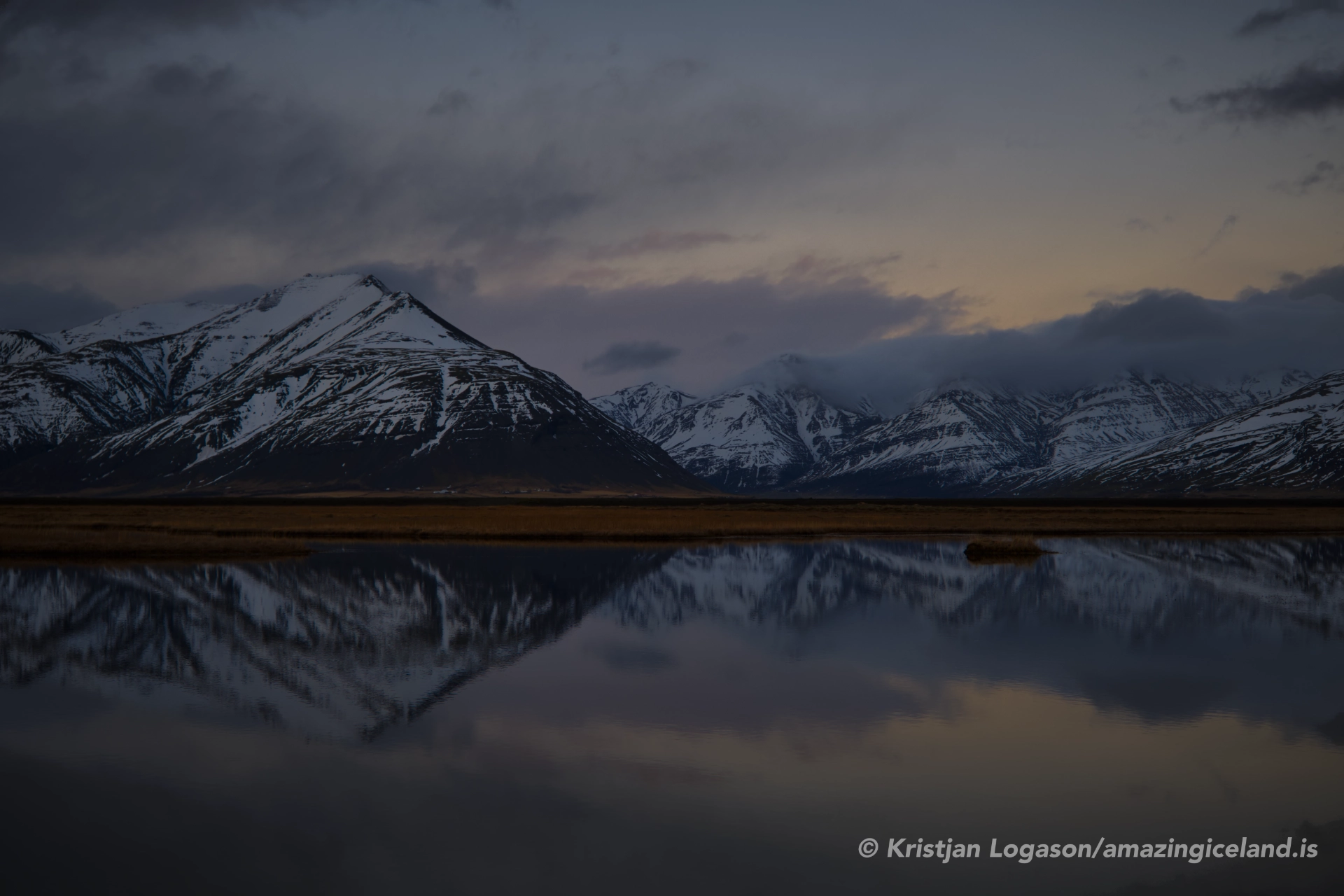
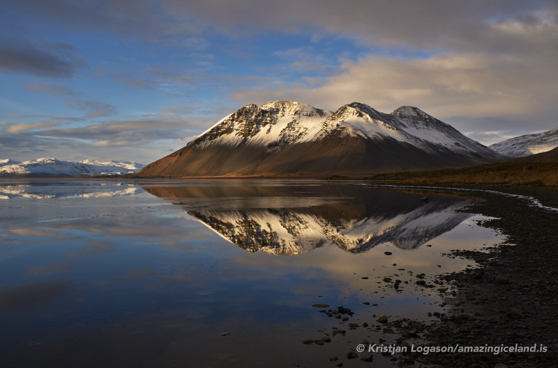
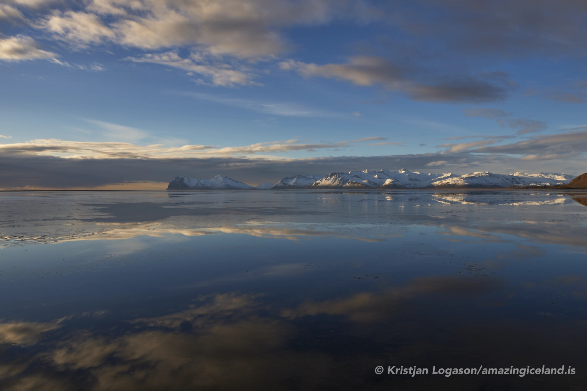
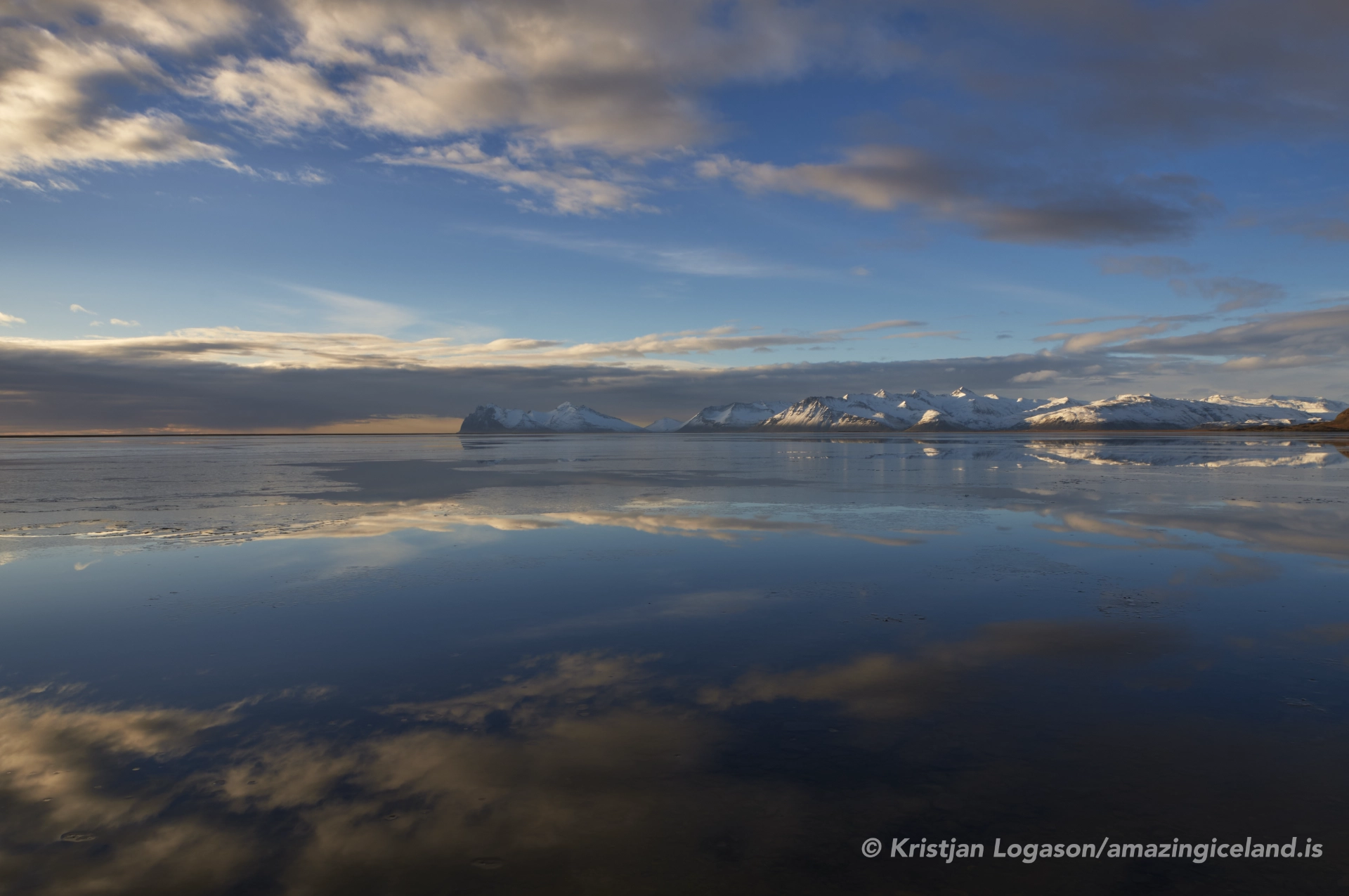
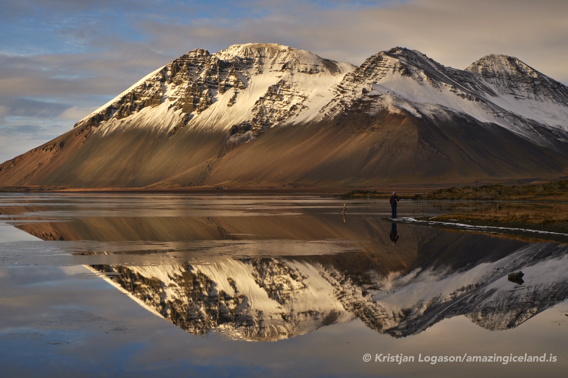
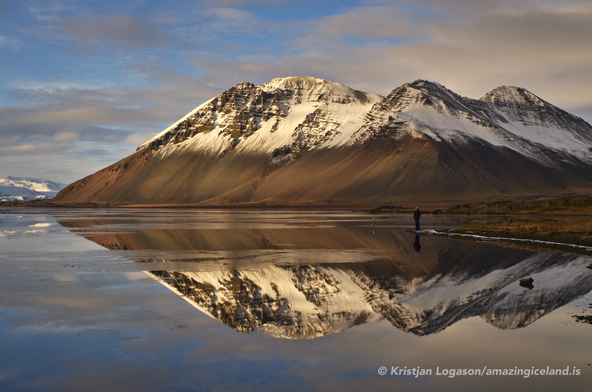
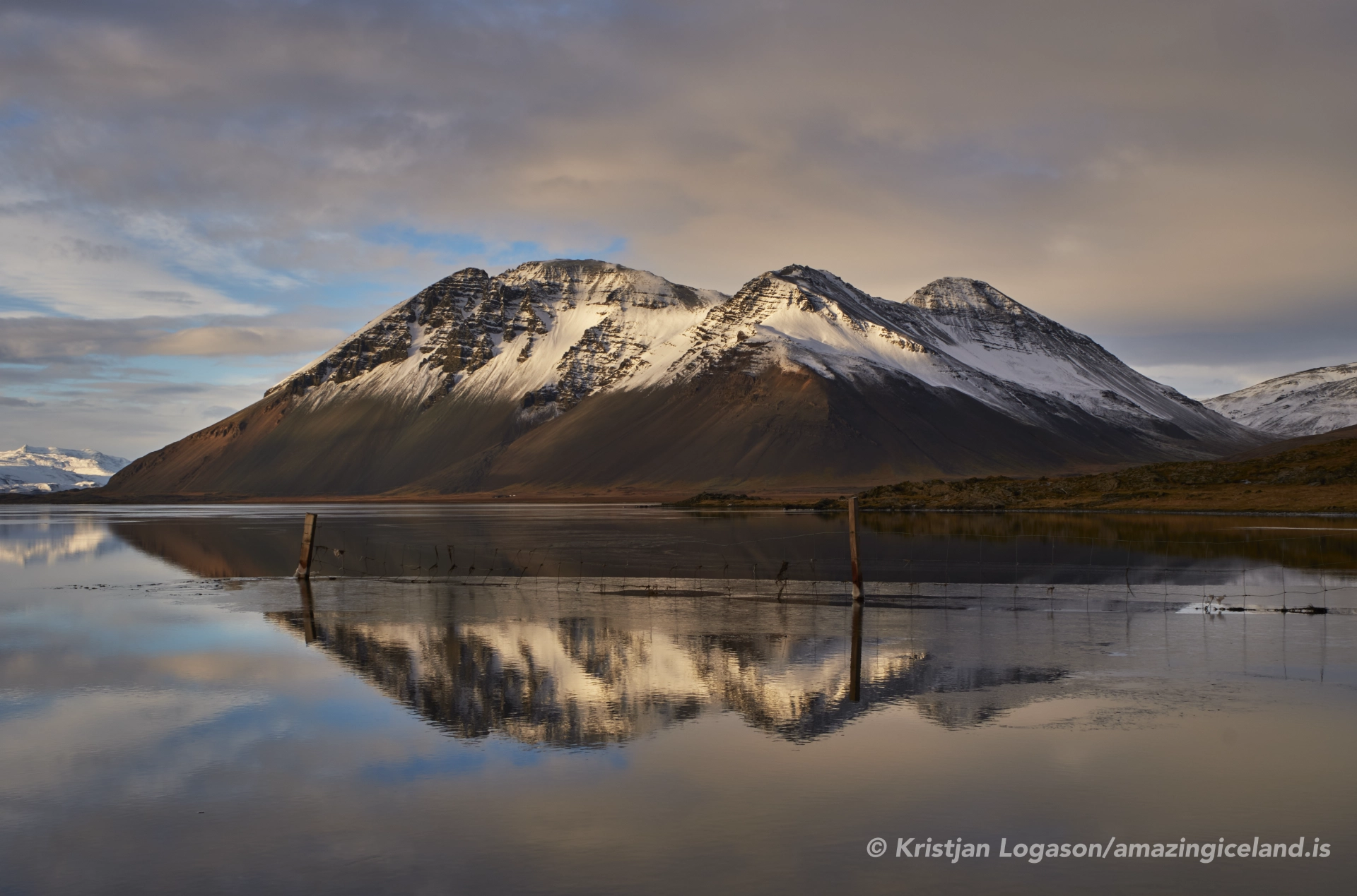
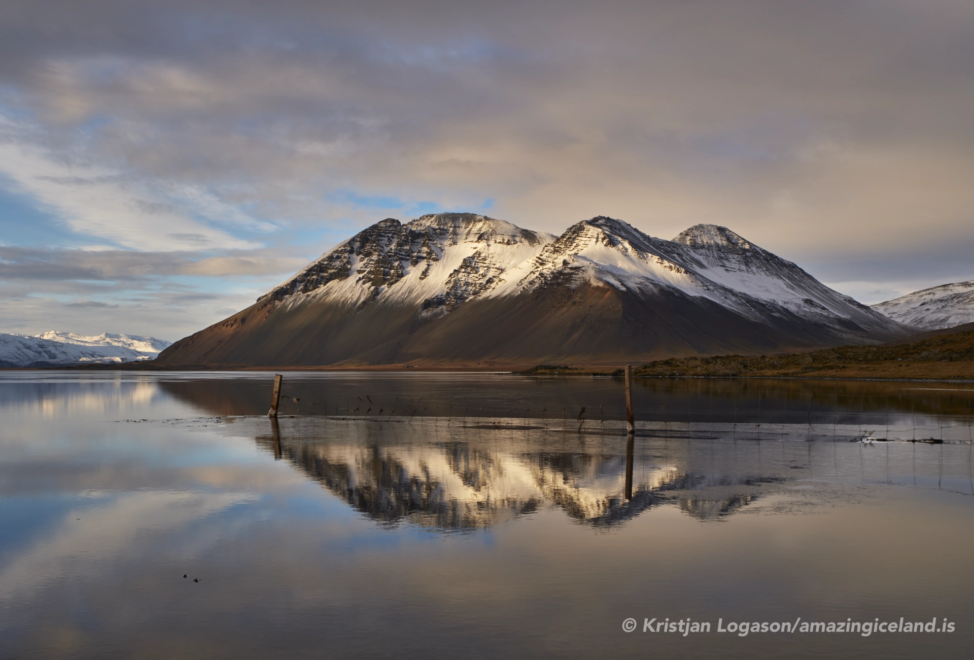
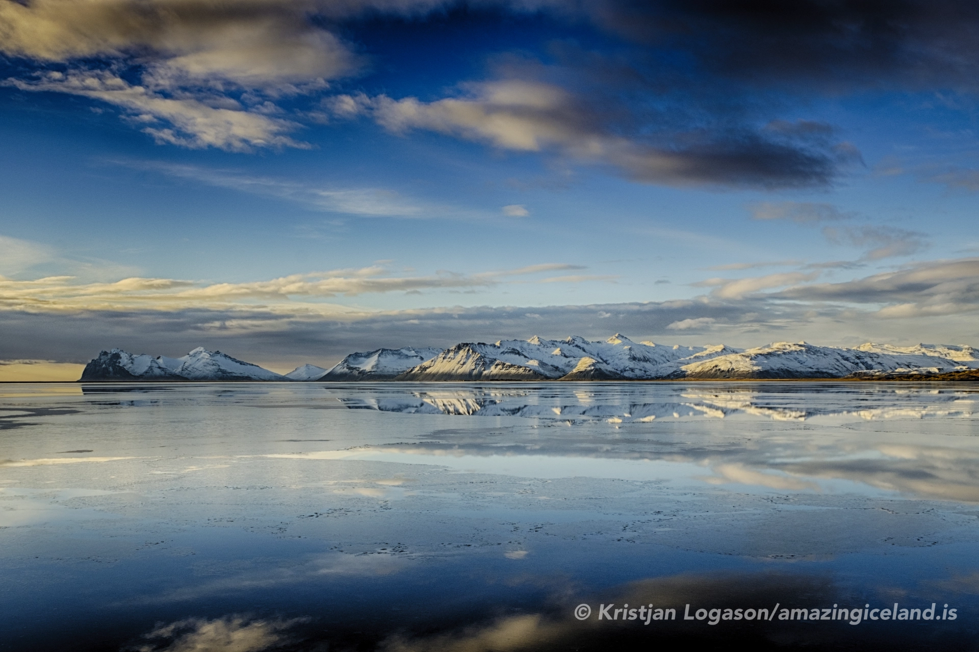
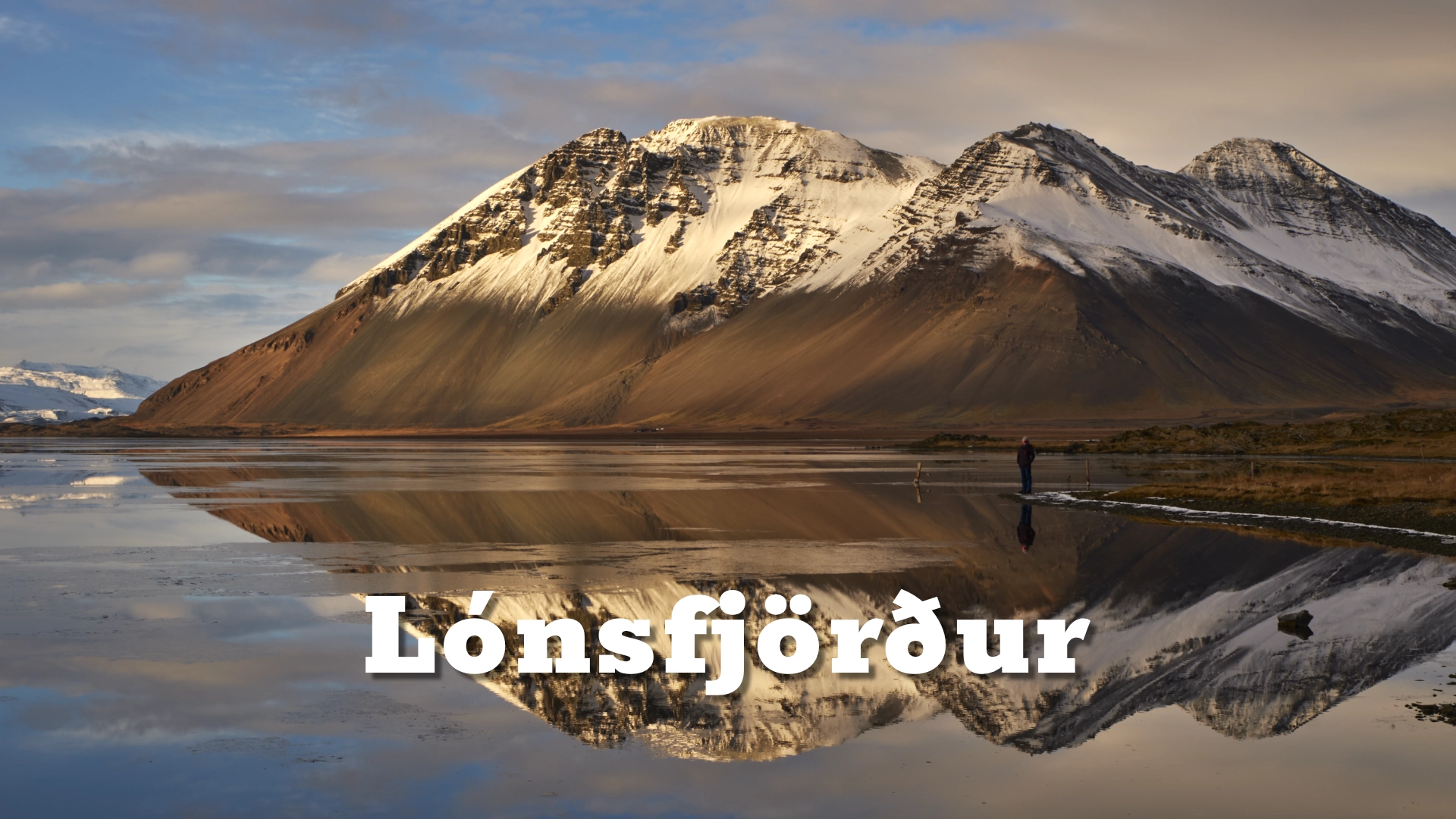
In calm weather, the water may become almost still enough to reflect the mountain range to the west across its surface. At other times, wind, tides and moving birds transform the lagoon. Travelling east through Lón reveals it gradually: Brunnhorn first appears after the Almannaskarð tunnel; the lagoon opens from the shoreline; the coastal barrier brings the sheltered water and open sea close together; and Hvalnes completes the sequence with its lighthouse, rocky coast and views towards Eystrahorn and Brunnhorn.
The location of Lónsfjörður in East Iceland
Latitude
64.42738521650196
Longitude
-14.70534778521405
Lónsfjörður in East Iceland
The coastal landscape of Lón
Lónsfjörður belongs to the wider lowland of Lón, where rivers descend from the interior and spread across flat ground before reaching the lagoon and Lónsvík. Farms and cultivated land occupy parts of this lowland, while river channels, marshes and shallow water reveal how strongly it is shaped by the movement of water.
Sediment carried by rivers, together with tides and coastal processes, has formed the long barrier of sand and gravel that largely separates the lagoon from the open ocean. The barrier does not seal it completely. Tidal water moves through openings between the lagoon and the sea, helping to create mudflats, salt marshes, shallow pools and areas of wetland vegetation.
The scale of Lón can be deceptive. From Route 1 the country appears broad and open, but it contains several distinct layers: farms, river channels, wetlands, the lagoon, the coastal barrier and, beyond it, the Atlantic. The mountains rise behind this horizontal foreground rather than enclosing the water like the walls of a narrow fjord.
On windless days, the shallow water can reflect the mountain range west of Lónsfjörður with exceptional clarity. These are broad reflections of the larger landscape rather than a single named peak repeated in the water. A slight increase in wind can break the mirror into moving light and texture, making the lagoon appear entirely different within minutes.
Úlfljótur and the laws of Iceland
Near the former farm Bær in Lón stands a memorial stone to Úlfljótur, who, according to Iceland’s early historical tradition, lived there during the tenth century. He is said to have travelled to Norway to study the laws of the Gulating region and to have returned with the basis for the legal code later known as *Úlfljótslög*.
The code preceded the establishment of Alþingi around 930 and helped provide a common legal framework for Iceland’s scattered settlements. The surviving written accounts date from considerably later, so not every detail can be treated as independently established history. Even so, the tradition gives Úlfljótur an important place in the story of how Iceland developed a shared system of law.
His association with Bær connects Lón with one of the formative chapters in Icelandic legal and parliamentary history. The memorial was erected in 1985, more than a thousand years after the events traditionally associated with him. It is modest beside the road, but its meaning reaches far beyond the district: this quiet farming landscape is traditionally remembered as the home of the man who brought the foundations of Iceland’s first common law code from Norway.

A major habitat for swans and other birds
Lónsfjörður is particularly important for whooper swans. Large numbers use the lagoon during migration, and many also gather in the area during the moulting period. Their size, pale plumage and numbers can make them the most immediately visible birds on the water, but they are only one part of a much broader habitat.
The lagoon, mudflats, marshes, river mouths and sandbanks support many other birds. Species and numbers change through the year as breeding birds arrive, migrants pass through and winter conditions alter the available feeding grounds. Summer brings extensive bird activity across the wetlands, while spring and autumn can produce especially large gatherings of swans and other migrants.
Lónsfjörður is included in Iceland’s Nature Conservation Register and recognised as an internationally important bird area. It is not part of the legally protected Lónsöræfi nature reserve, whose boundaries lie farther inland, but the lagoon and its surrounding wetlands have substantial ecological value in their own right.
Reindeer range through East and Southeast Iceland and may sometimes descend into the lowlands of Lón, although sightings at Lónsfjörður are occasional and cannot be expected.
The changing views towards Hvalnes
The experience of Lón begins before the lagoon fully opens from the road. Travelling east from Höfn, the first natural stopping point comes soon after the road emerges from the Almannaskarð tunnel. From here, Brunnhorn presents the distinctive outline that has given it the informal name **Batman Mountain**. Its shape changes as the road continues and the angle across the lowland shifts.
Farther east, the shoreline opens a broader view westward across Lónsfjörður. In calm conditions the mountain range beyond the lagoon may be reflected almost from edge to edge. The view brings together the elements that define the wider district: shallow water and wetland in the foreground, inhabited lowland and rivers beyond, and mountains across the western horizon.
The long coastal barrier shortly before Hvalnes provides another perspective. It can be reached on foot and gives a closer sense of the boundary between lagoon and ocean. The sheltered water on one side and the more exposed coastal environment beyond can behave very differently even though they lie close together.
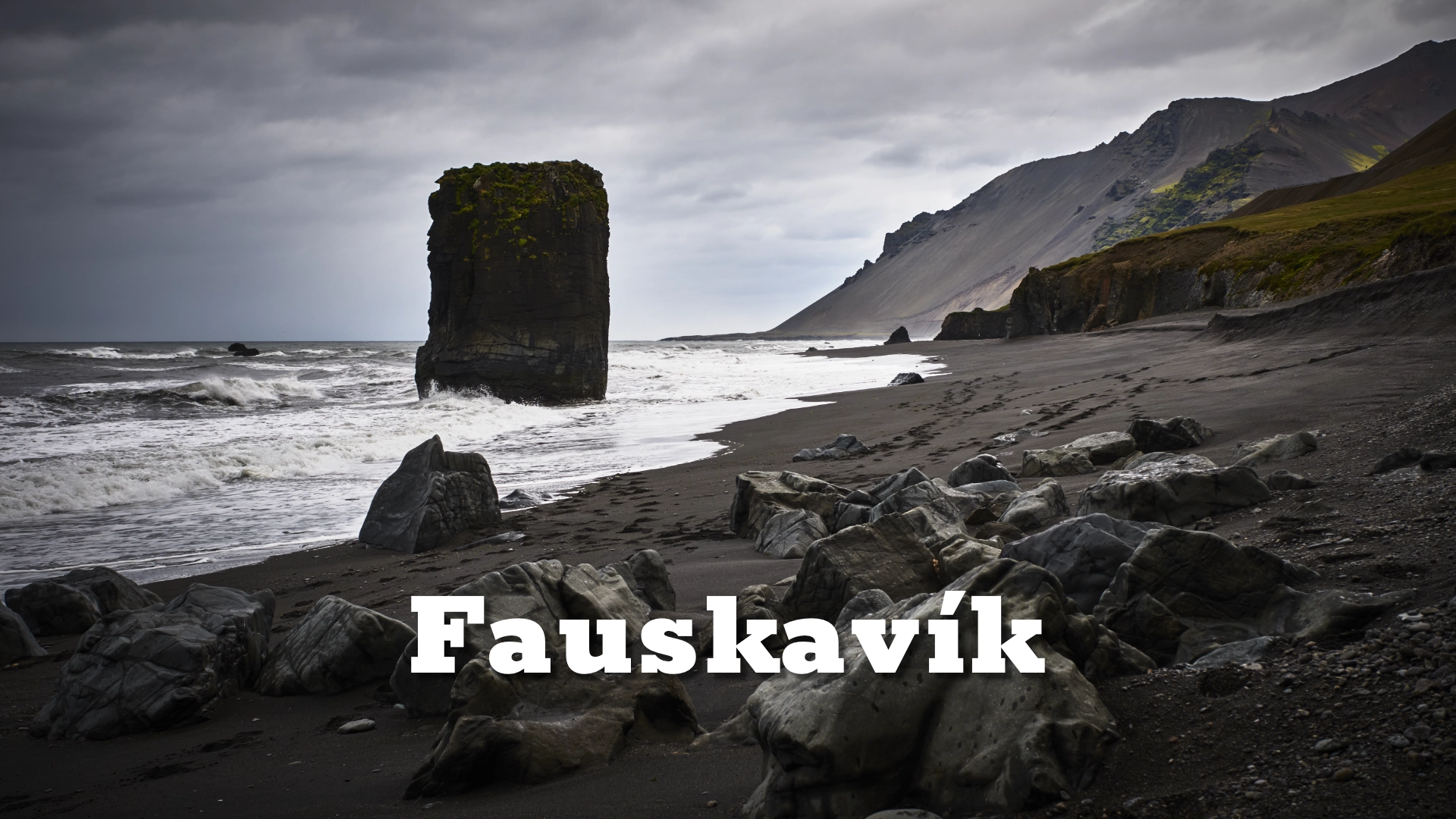
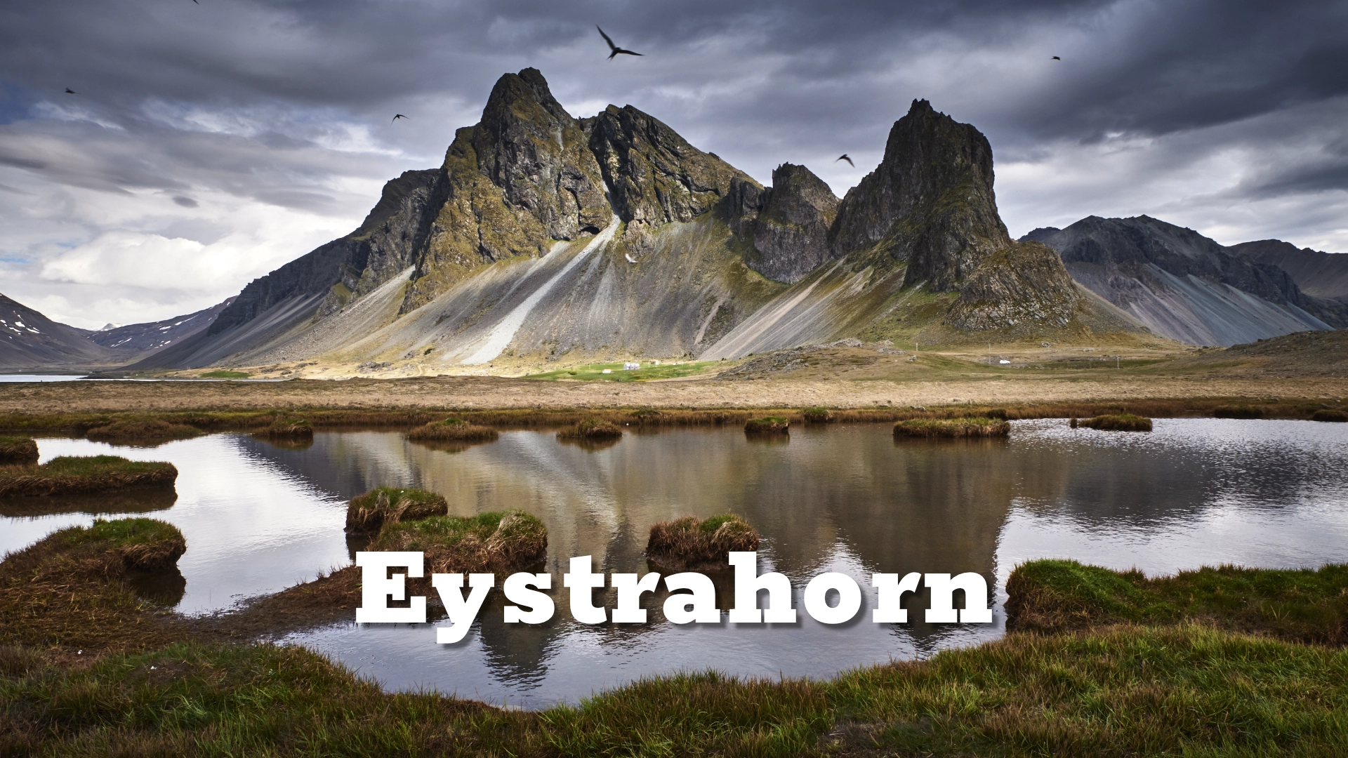
Hvalnes forms the final stage of the journey. The lighthouse, known in Icelandic as **Hvalnesviti**, stands near the tip of the headland; the two names refer to the same structure. Here the shoreline is rocky and the view turns towards the open coast. Eystrahorn rises to the east and Brunnhorn lies to the west, placing both peaks within the wider coastal landscape without falsely presenting them as opposing walls around Lónsfjörður.
Lónsfjörður and Lónsöræfi
Lónsfjörður and Lónsöræfi have sometimes been confused because both names belong to the geography of Lón. They are connected through the district, but they are not the same destination.
Lónsfjörður is the coastal lagoon beside Route 1. Lónsöræfi lies much farther inland, beyond the settled lowland, where valleys and mountain country extend towards Iceland’s interior. The Lónsöræfi nature reserve was protected in 1977, but that legal protection does not extend down around Lónsfjörður.
Lónsfjörður is the accessible and ecologically significant coastal edge of Lón, where farming, roads and human history exist alongside rivers, wetlands and bird habitat.
Lónsöræfi deserves to be treated separately as a highland destination with its own geography and access conditions. On this page it belongs only as the inland continuation of the wider district, not as another name for the lagoon.
Interesting facts:
- Despite its name, Lónsfjörður is a shallow coastal lagoon rather than a conventional steep-sided fjord.
- – A long barrier of sand and gravel largely separates it from Lónsvík and the open Atlantic, while openings allow tidal water to pass between them.
- – The lagoon and surrounding wetlands support large numbers of whooper swans as well as many other birds.
- – Lónsfjörður is included in Iceland’s Nature Conservation Register and recognised as an internationally important bird area.
- – It is not part of the protected Lónsöræfi nature reserve, which lies farther inland within the wider district of Lón.
- – According to early Icelandic historical tradition, Úlfljótur lived at Bær in Lón and helped formulate the legal code known as *Úlfljótslög*.
- – The memorial to Úlfljótur at Bær was erected in 1985.
- – Brunnhorn is widely known as Batman Mountain because of its distinctive outline from particular viewpoints.
- – Hvalnes lighthouse and Hvalnesviti are two names for the same lighthouse.
- – In calm weather, the lagoon may reflect the mountain range to the west with remarkable clarity.
Photography tips:
- The first views after the Almannaskarð tunnel reveal how the outline of Brunnhorn changes as the road moves through Lón.
- - From the shoreline, westward views may include broad mountain reflections across the lagoon when wind and water conditions allow.
- - Wider compositions can explore the relationship between water, wetland, farms and mountains; longer focal lengths can isolate reflected slopes, patterns on the water or concentrations of birds.
- - The coastal barrier offers a different relationship between the sheltered lagoon and the exposed ocean shore.
- - At Hvalnes, the lighthouse, rocky coastline, Eystrahorn and Brunnhorn become separate but connected subjects.
- - Bird numbers and behaviour vary with the season. Keeping a respectful distance is especially important around resting, feeding and moulting birds.
- - Reflections are not restricted to a particular month. Calm air and still water matter more than the season.