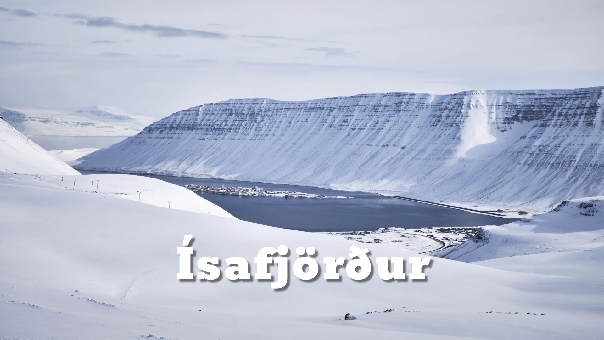
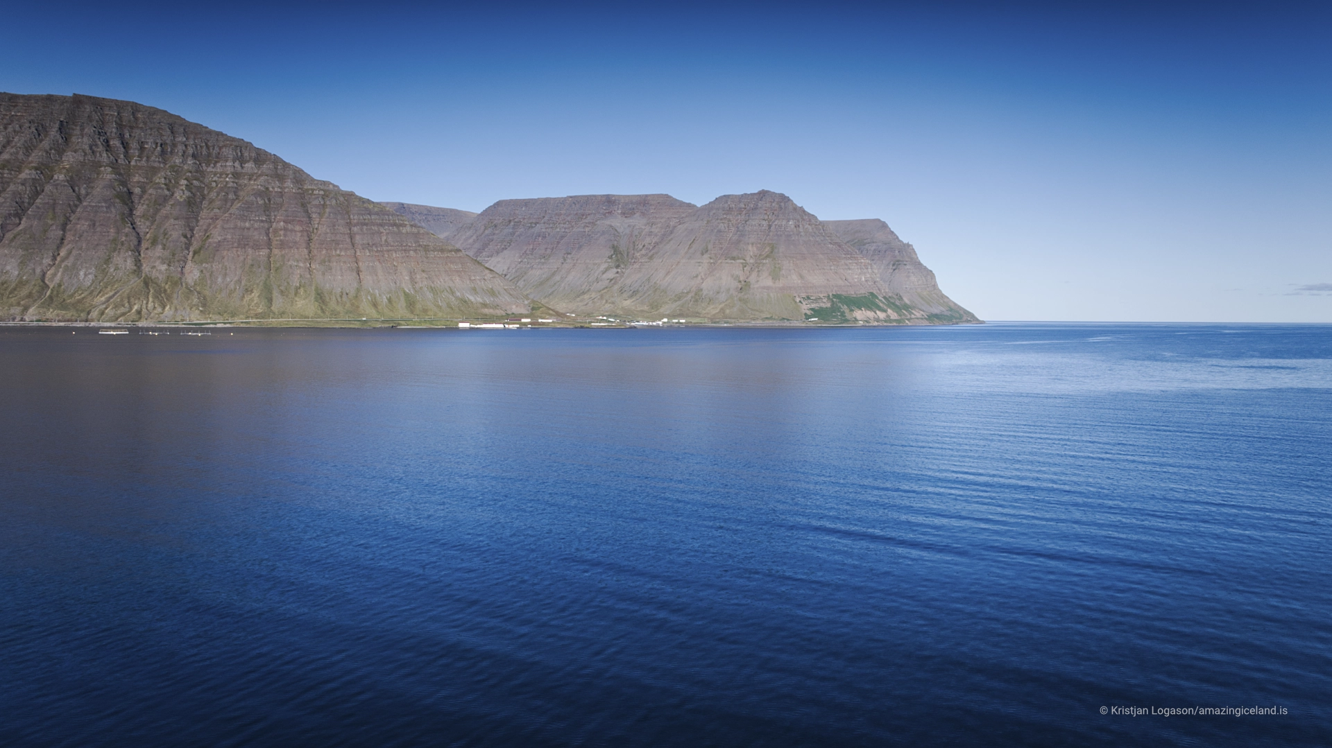
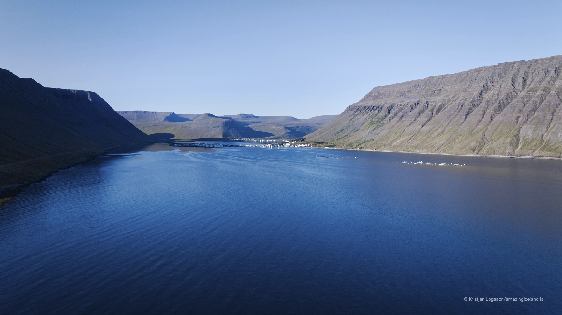
At the innermost end of Ísafjarðardjúp, Ísafjörður occupies a rare area of relatively flat land in a region otherwise dominated by steep fjords and narrow shorelines. Historically dependent on fishing and trade, the town has evolved into the Westfjords’ primary service hub while retaining a scale and structure shaped directly by its environment.
The location of Ísafjörður in Westfjords of Iceland
Latitude
66.0749
Longitude
-23.1340
Ísafjörður in Westfjords of Iceland
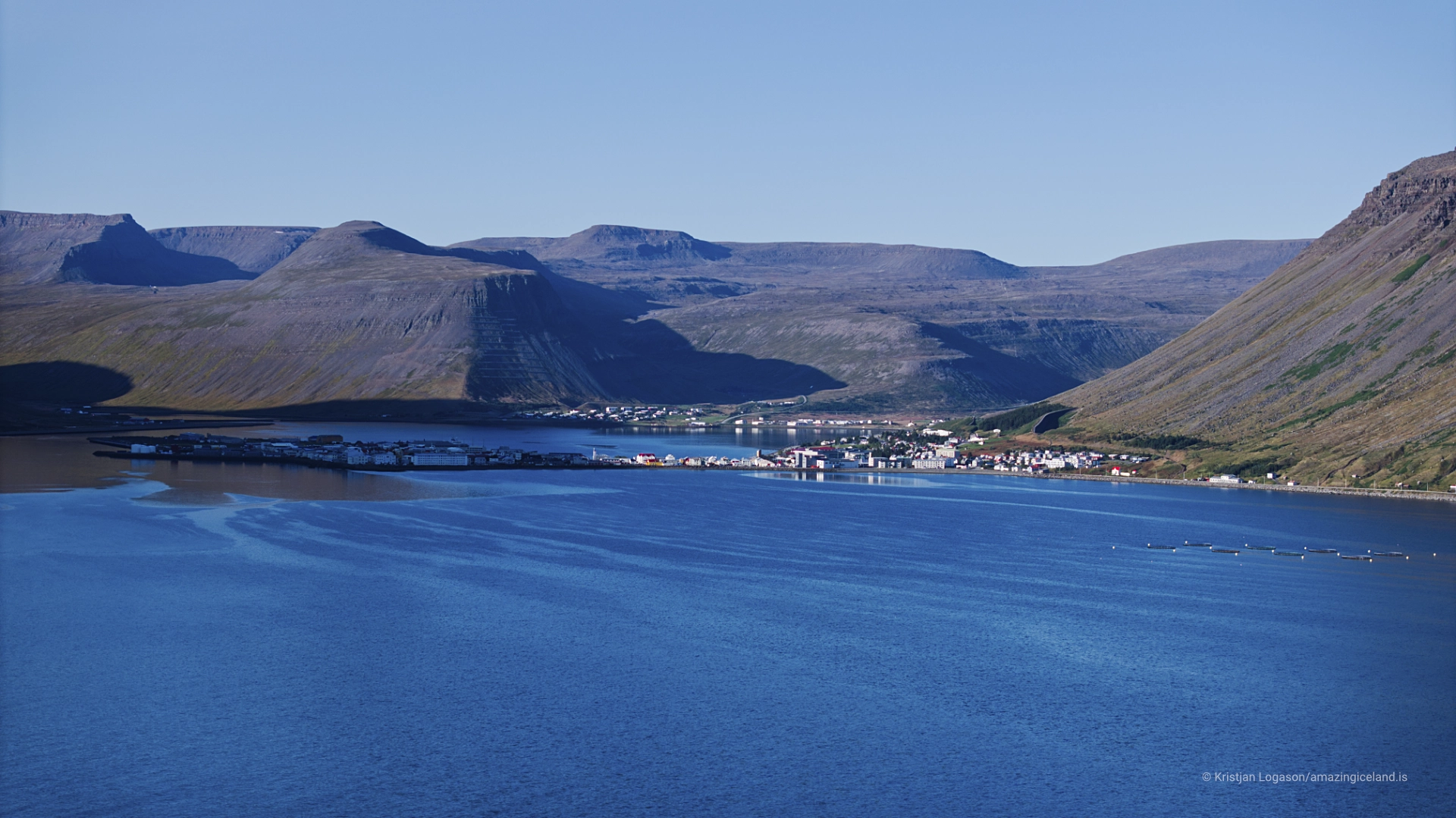
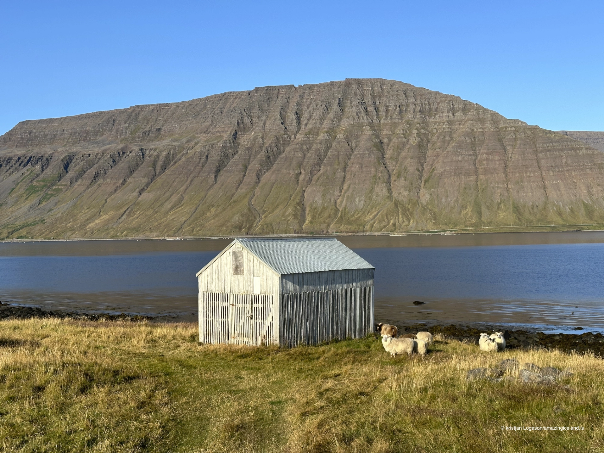
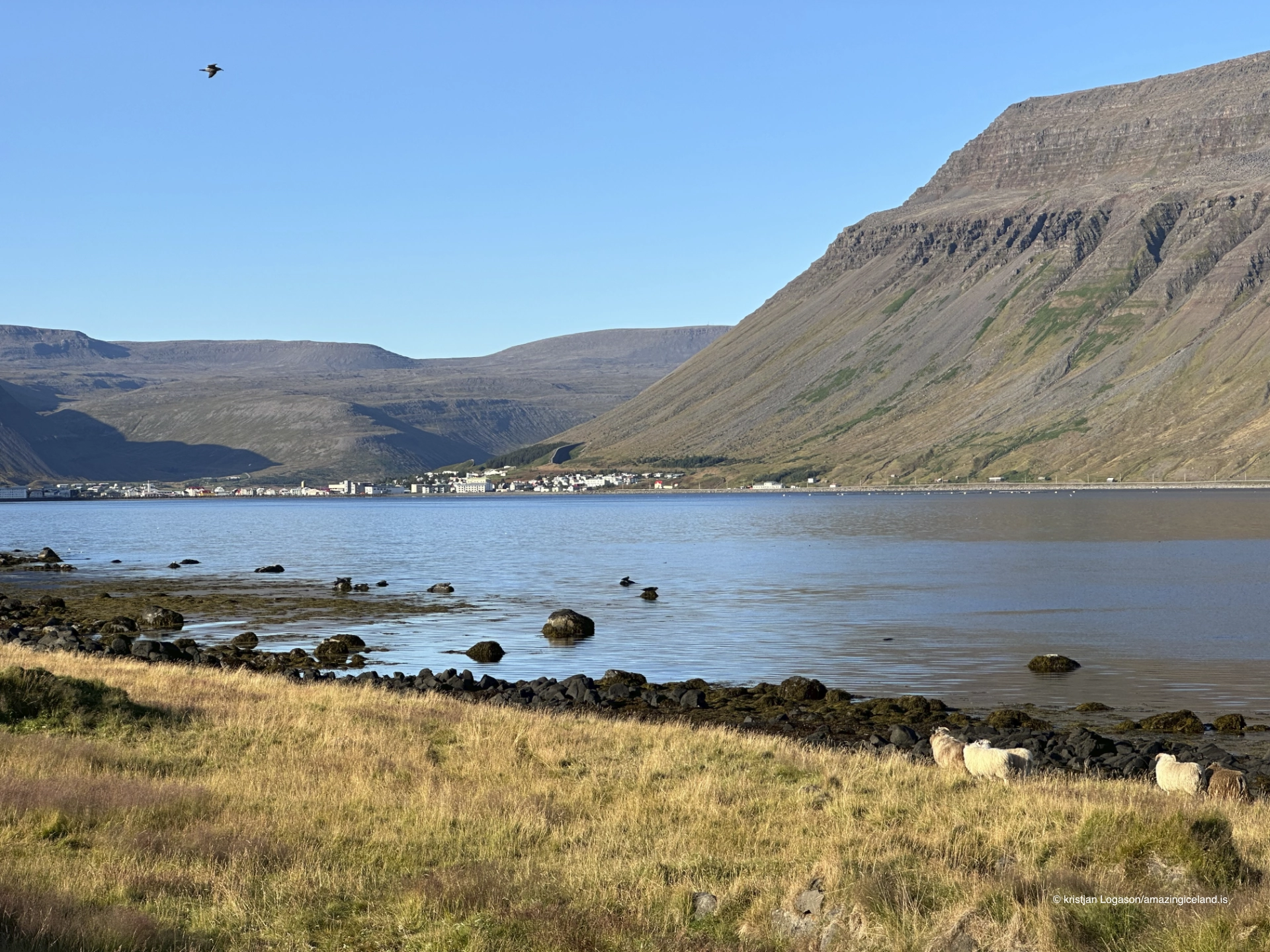
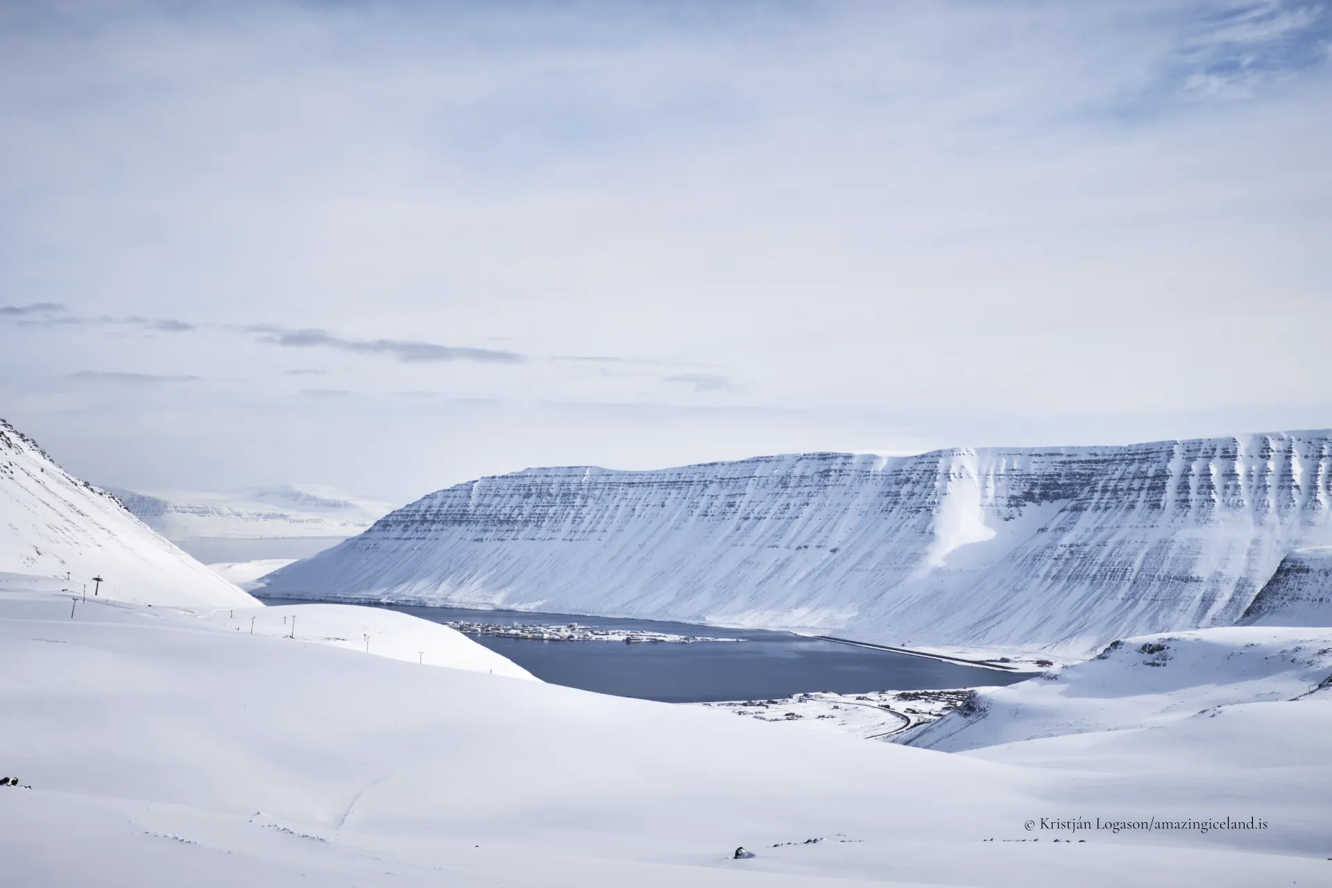
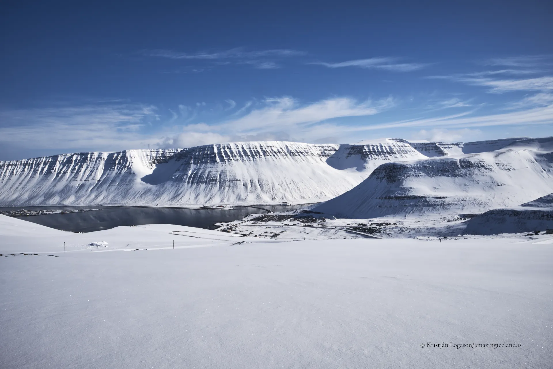
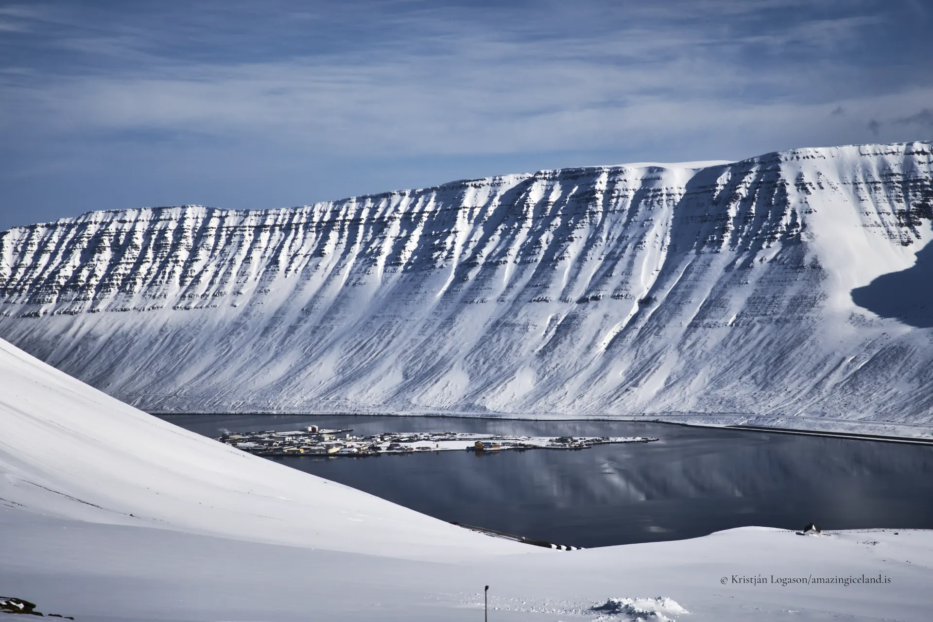
Ísafjörður is located in the northwestern part of Iceland, within the Westfjords peninsula, and sits at the head of Skutulsfjörður, a fjord branching from the larger Ísafjarðardjúp system. Unlike many Westfjords settlements confined to narrow coastal strips, Ísafjörður is built on a relatively broad sandur plain formed by sediment deposition from surrounding rivers. This geological advantage allowed the town to develop a more coherent urban structure than neighboring villages.
The town’s position offered both opportunity and limitation. The fjord provided shelter and access to rich fishing grounds, while the surrounding mountains constrained expansion and isolated the settlement from inland routes. For much of its history, Ísafjörður was more accessible by sea than by land, reinforcing its maritime orientation and shaping economic and social life around the harbor.
From a physical geography perspective, Ísafjörður represents a nodal settlement—a place where multiple fjord communities converge for trade, administration, and services. Its relative flatness is exceptional in the Westfjords and explains why the town emerged as a regional center rather than remaining one fishing village among many.
Ísafjörður’s growth accelerated in the 18th and 19th centuries as fishing, trade, and later mechanized processing expanded. The town became a focal point for commerce in the Westfjords, supported by its harbor facilities and position within Ísafjarðardjúp. Danish merchants played a role in early development, and the town’s architecture still reflects periods of external influence layered onto local building traditions.
Fishing defined the town’s economy well into the 20th century. Unlike more transient boomtowns, Ísafjörður developed a relatively stable population, supported by diversified maritime activity and administrative functions. This stability allowed cultural and educational institutions to take root, reinforcing the town’s role beyond extraction alone.
Industrial shifts and stock fluctuations affected Ísafjörður as they did other Icelandic fishing towns, but its administrative importance and service economy provided resilience. Rather than shrinking into marginality, the town adapted, becoming the Westfjords’ primary center for governance, education, and healthcare.
Culturally, Ísafjörður functions as the intellectual and artistic core of the region. Institutions such as the Westfjords Heritage Museum document maritime history, trade, and everyday life, while contemporary cultural initiatives support music, visual arts, and festivals. This combination of historical preservation and active cultural production distinguishes Ísafjörður from smaller fjord settlements.
Education plays a central role. The presence of higher education and research activity has anchored younger populations and supported innovation in fields such as marine studies and environmental science. In a region defined by outmigration pressures, this anchoring function is significant.
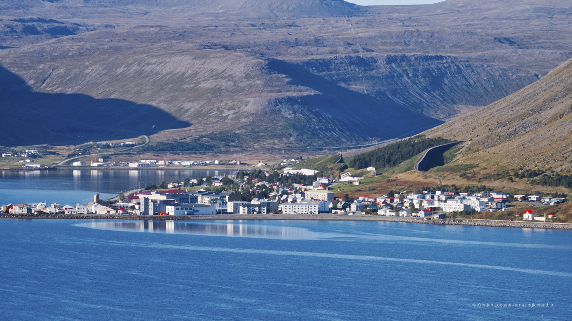
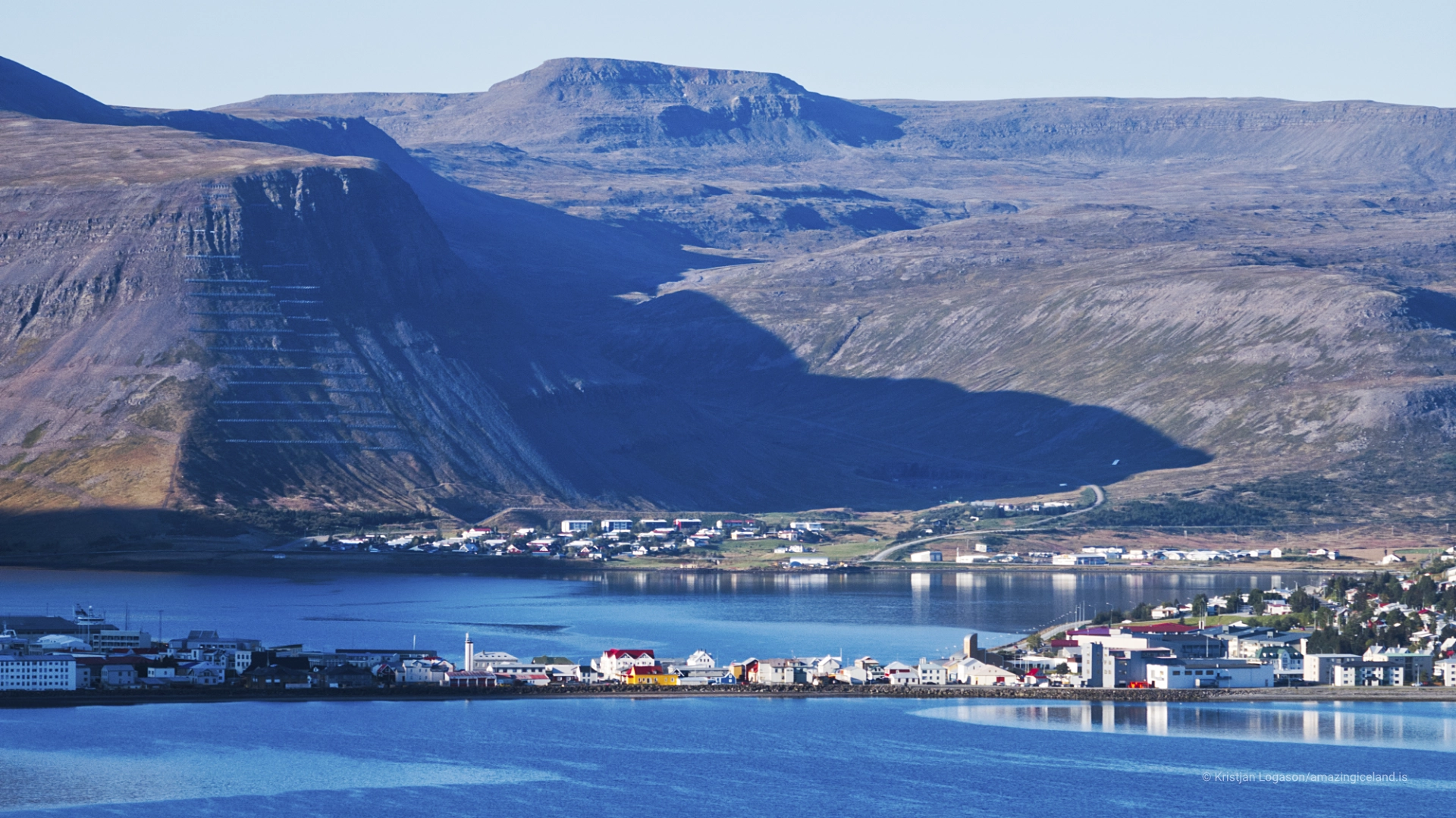
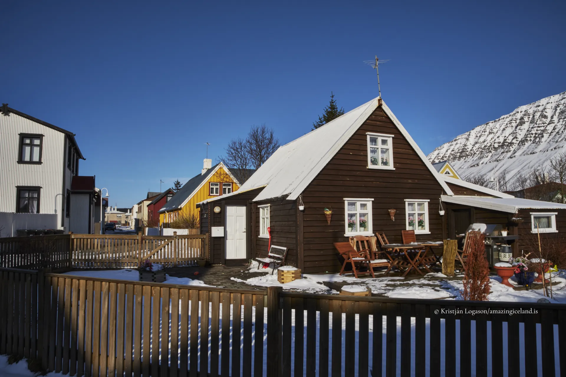
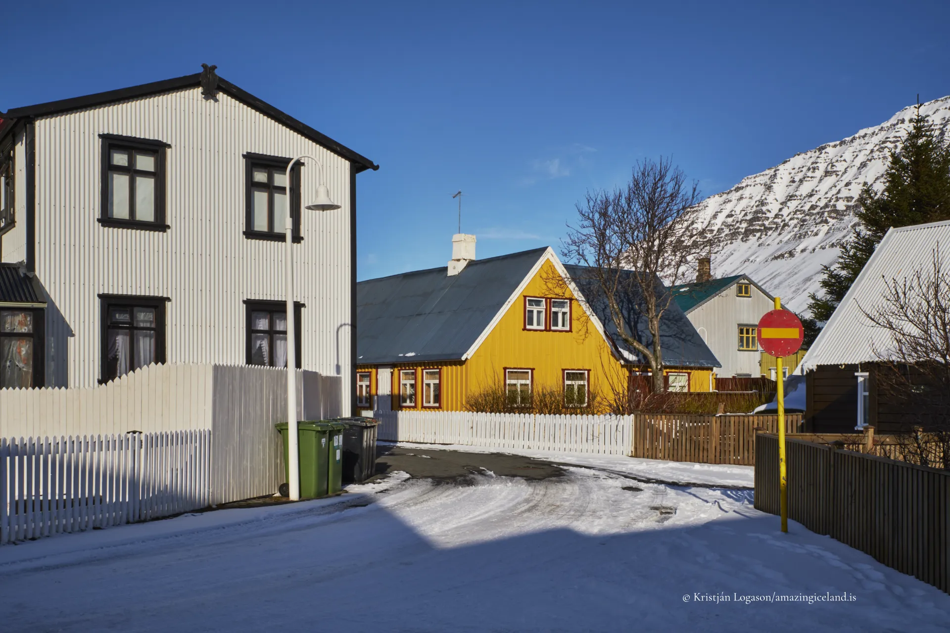
The town’s built environment reflects these layered roles. Historic timber houses stand alongside utilitarian harbor infrastructure and modern civic buildings. The scale remains modest, but density and continuity give Ísafjörður a distinctly urban character within a rural region.
Connectivity has reshaped Ísafjörður without dissolving its isolation. Mountain roads, tunnels, and a regional airport now link the town year-round to the rest of Iceland, but weather and distance remain tangible constraints. These conditions continue to influence logistics, daily life, and planning decisions.
Climate and light cycles are pronounced. Winters bring extended darkness and snow, while summers deliver long daylight hours that compress activity into intense seasonal rhythms. The surrounding mountains amplify these effects, casting long shadows and framing the town visually and psychologically.
From an environmental standpoint, Ísafjörður’s setting highlights the balance between settlement and slope. Avalanches, wind, and precipitation are ongoing considerations, shaping infrastructure placement and land-use policy. The town’s continued viability reflects long-term negotiation with these forces rather than their elimination.
Ísafjörður ultimately operates as a regional hinge—connecting smaller fjord communities to national systems while remaining deeply embedded in local geography. It is neither remote outpost nor metropolitan center, but something more precise: a town scaled exactly to what the land allows.
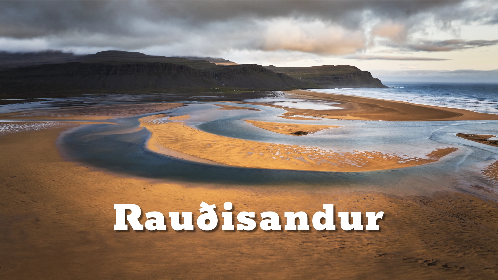
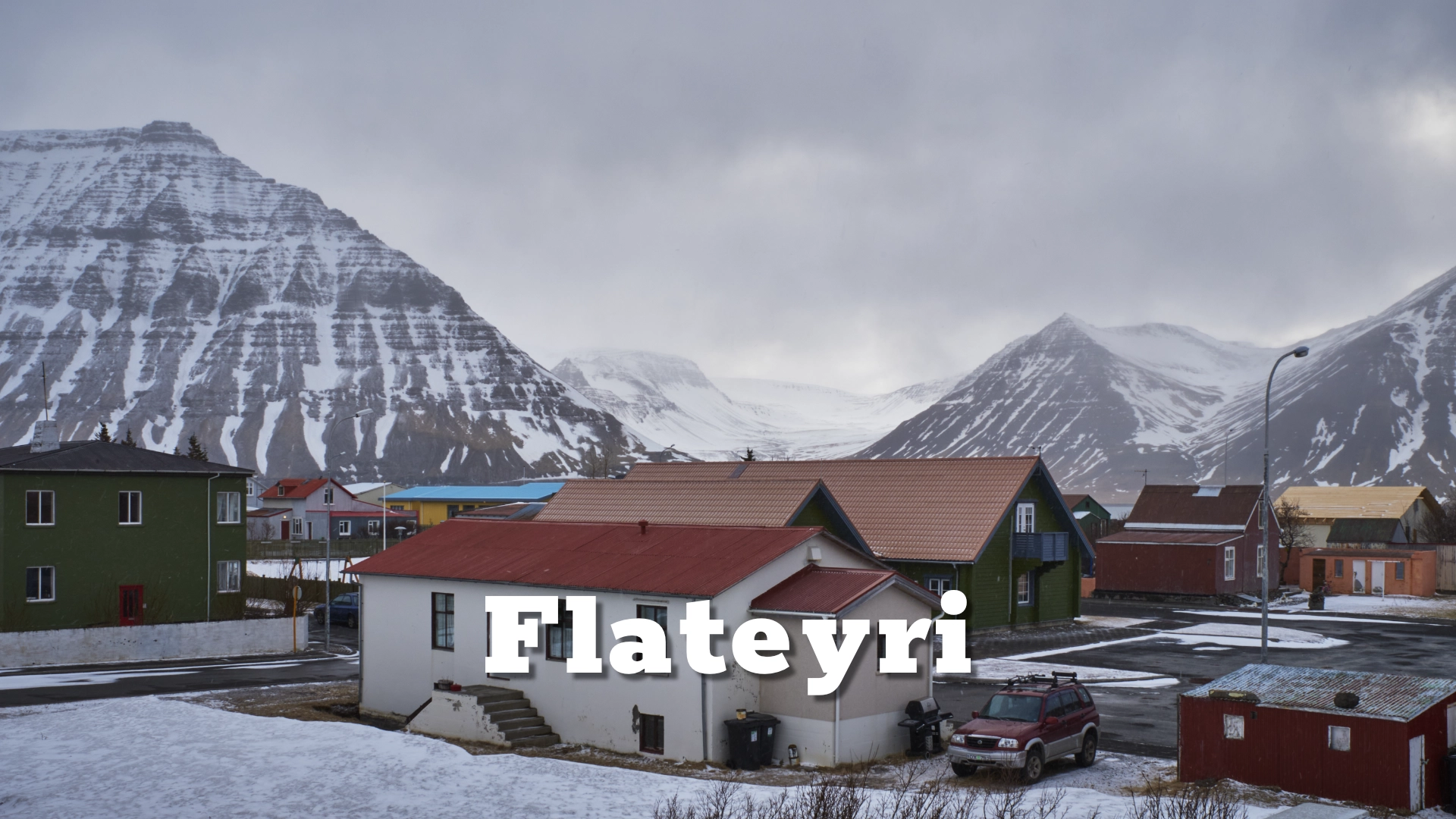
Ísafjörður provides the structural counterweight to isolated villages like Flateyri and open landscapes like
Interesting facts:
- Ísafjörður is the largest town in the Westfjords.
- It is built on a sandur plain, unusual in a region dominated by steep fjords.
- The town sits within the Ísafjarðardjúp fjord system.
- Historically, Ísafjörður was more accessible by sea than by land.
- It functions as the administrative and cultural center of the Westfjords.
Image Gallery

The Locomotive Elite
What do Donald Trump and Iceland’s Locomotive Elite have in common?
Far more than you think.
In The Locomotive Elite, you’ll uncover how a tiny clique in Iceland captured extensive control—of banks, courts, media, and even the central bank.
For decades they ruled, first democratically, then through corruption and in the end through crime, enriching themselves and their cronies while dismantling oversight.
The result?
One of the most spectacular financial collapses in modern history.
Photography tips:
- Elevated viewpoints: Hillsides above town reveal fjord geometry and urban structure.
- Harbor symmetry: Docks and boats create strong linear compositions.
- Seasonal contrast: Winter minimalism versus summer density tell different stories.
- Context frames: Include mountains—scale is essential to understanding place.
- Avoid over-drama: Ísafjörður reads best with balanced exposure and neutral color.
Good cameras for Iceland
Sony A7R V

Sony A7s lll

Canon R6

Nikon Z6 lll

Destinations nearby
Good to have in Iceland