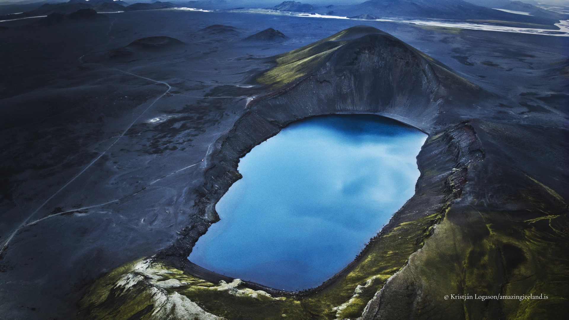
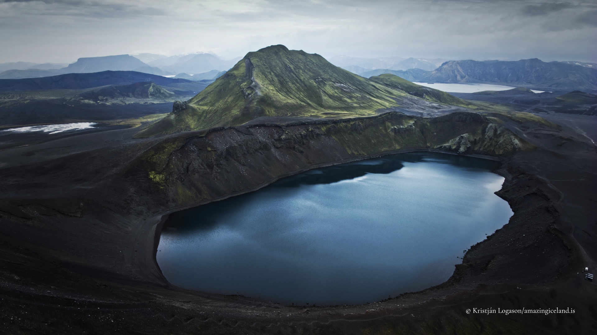
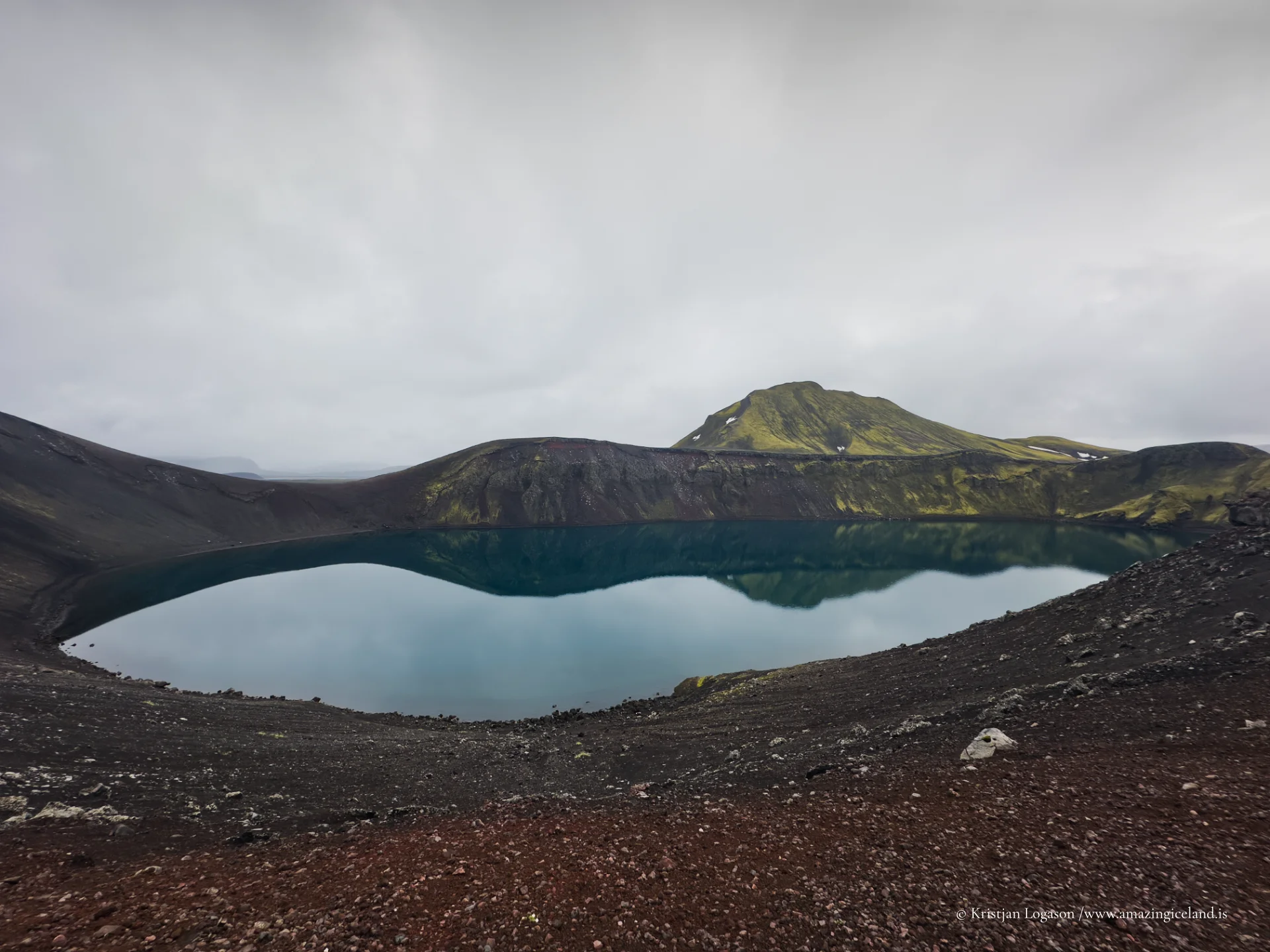
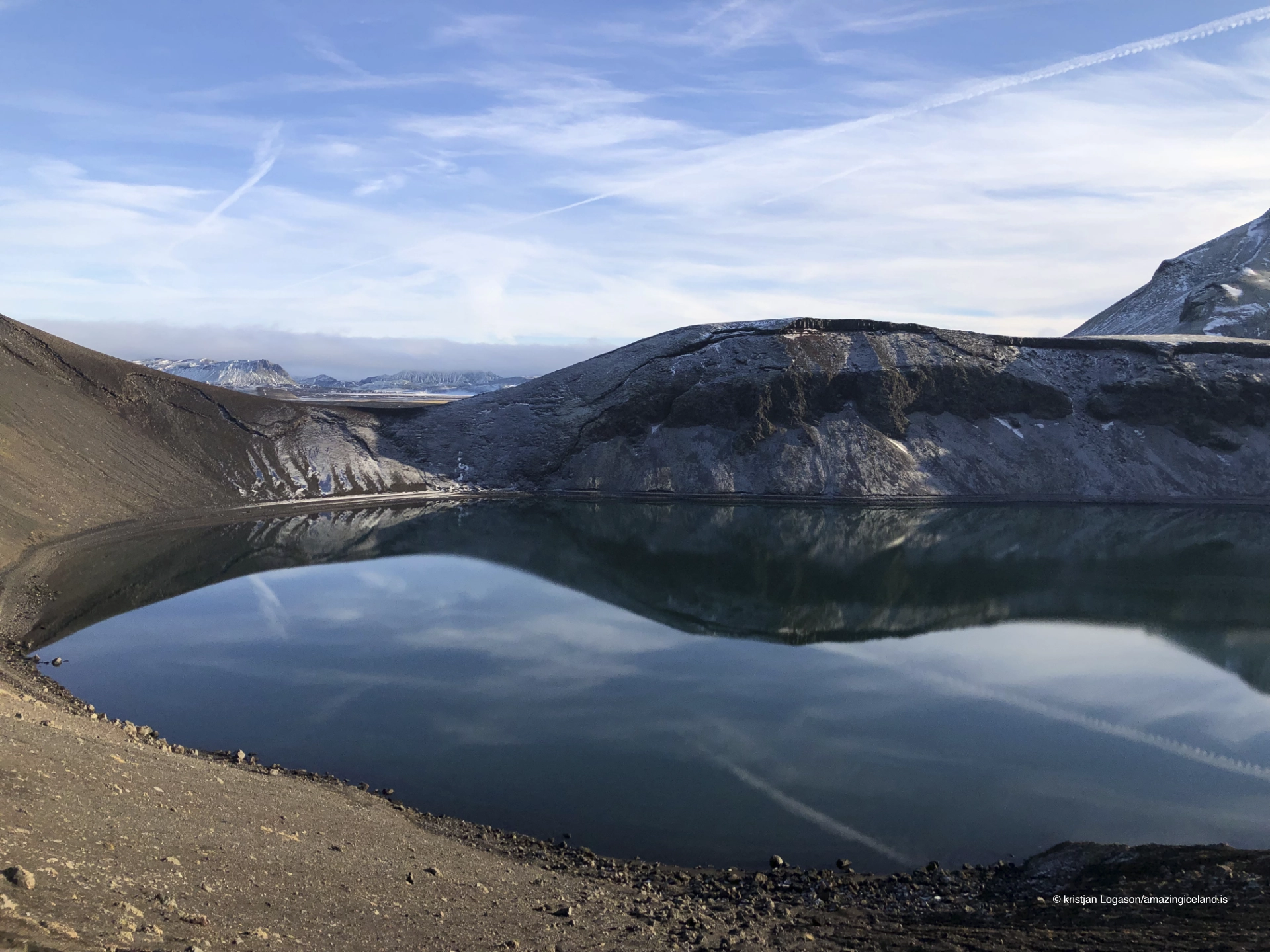
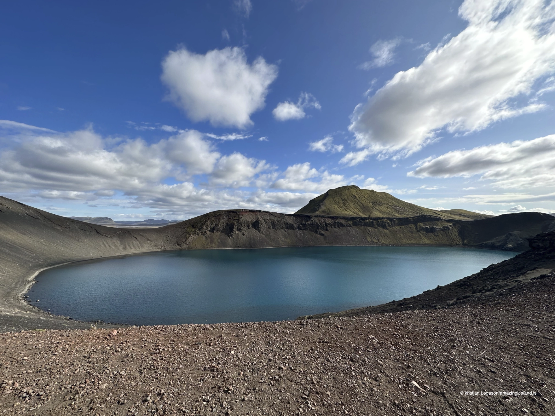
Hnausapollur, also known as Bláhylur (“the Blue Pool”), is a crater lake in the Fjallabak Nature Reserve, just north of Landmannalaugar and directly adjacent to the mountain road F208. The lake is widely recognised for its intense turquoise-blue colour and near-perfect crater form, offering a clear and readable example of volcanic processes in the Icelandic highlands.
The location of Hnausapollur
Latitude
64.1429
Longitude
-19.0617
Hnausapollur
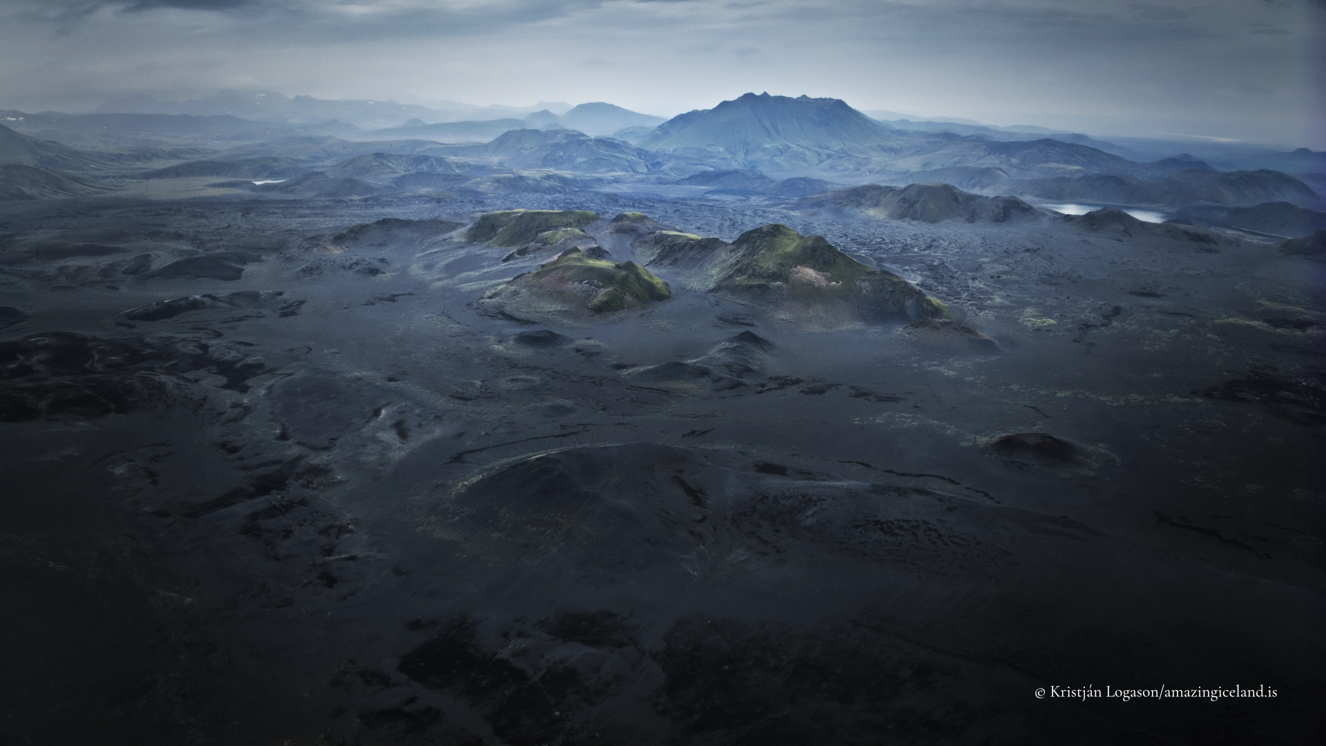
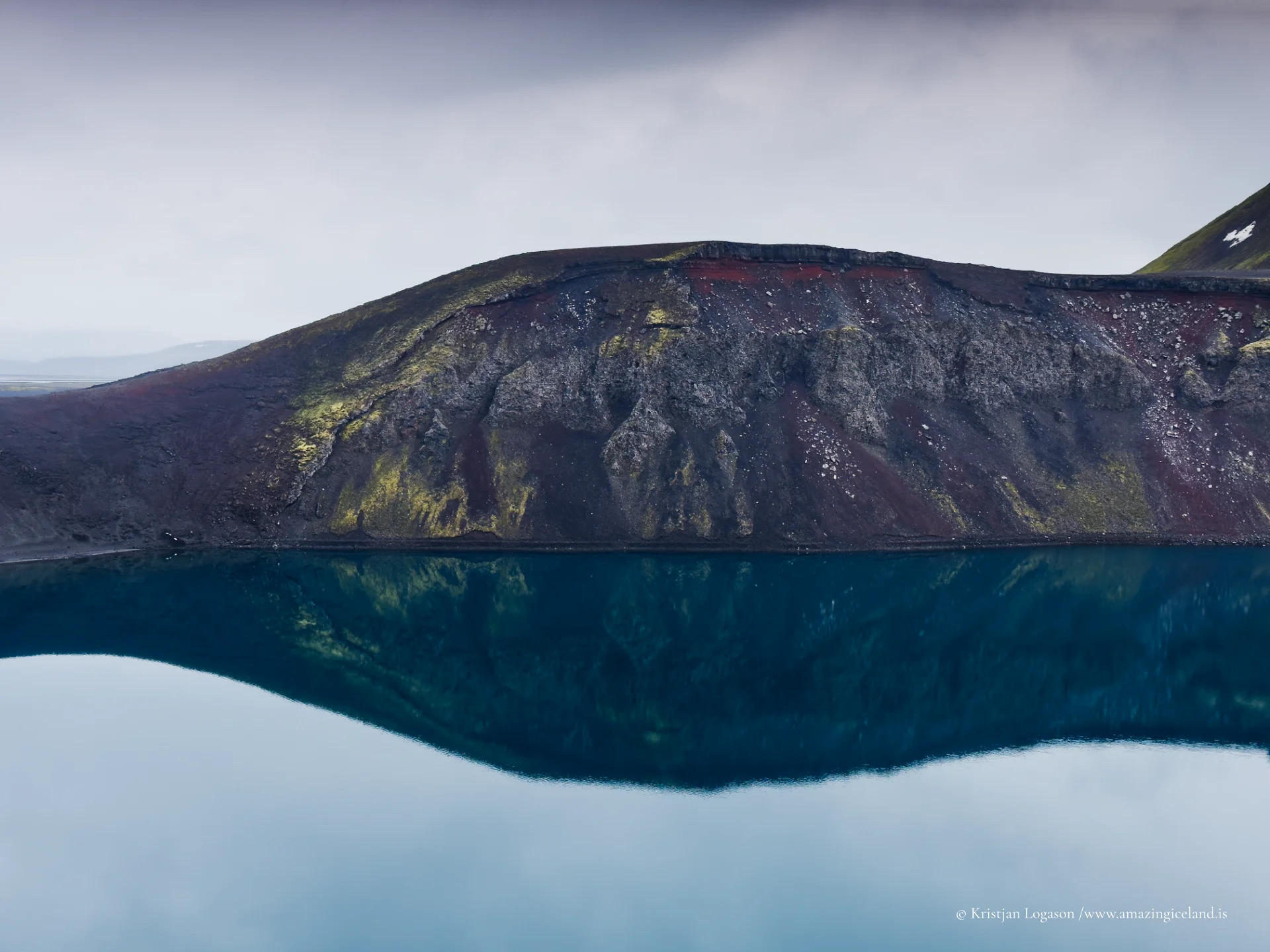
Hnausapollur occupies a volcanic crater formed during an explosive eruption associated with the Veiðivötn–Bárðarbunga volcanic system, most commonly dated to the 1477 eruption event. This eruption produced extensive lava flows and tephra deposits across the central highlands, and Hnausapollur is one of several crater lakes that preserve the geometry of that period with unusual clarity.
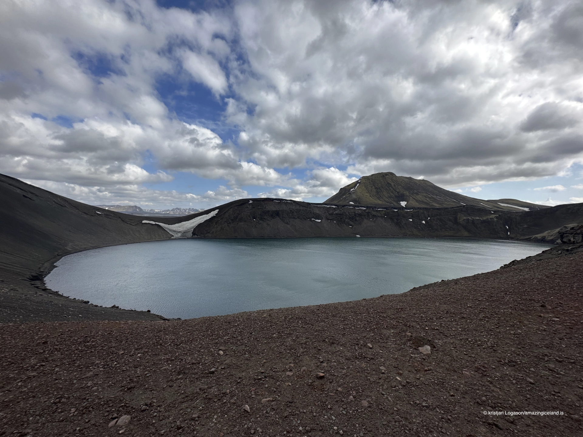
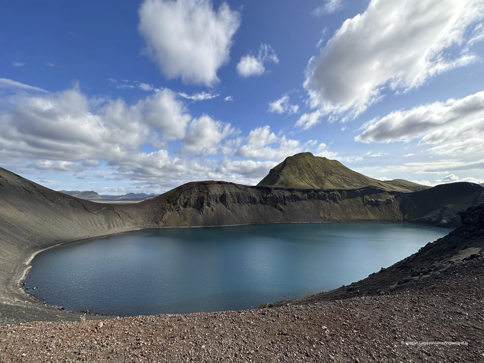
The crater is almost circular, with steep inner walls and a relatively shallow basin compared to its width. The lake itself fills much of the crater floor, creating a contained and visually legible landform where the relationship between eruption, collapse, and later water accumulation can be directly observed. Unlike many Icelandic lakes shaped by glaciers or tectonic basins, Hnausapollur’s boundaries are sharply defined, making it particularly useful as an educational and observational site.
The name Hnausapollur refers to loose stones or clasts (hnaus), reflecting the fragmented volcanic material that makes up much of the crater rim. The alternative name, Bláhylur, is descriptive rather than geological, referencing the lake’s striking blue colour—often the first feature noted by visitors approaching along F208.
Water colour, sediment, and seasonal behaviour
The colour of Hnausapollur is not constant but varies with light, weather, and sediment conditions. Under calm and bright conditions, the lake can appear intensely turquoise or milky blue. This colouration is caused by fine suspended volcanic and glacial sediments that scatter light in a way similar to glacial rivers and lakes elsewhere in Iceland. The pale minerals suspended in the water reflect shorter wavelengths, enhancing blue and green tones.
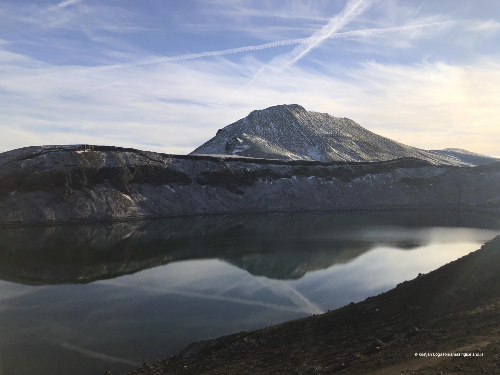
Wind plays a significant role in how the lake presents itself. When surface conditions are still, the colour appears more uniform and saturated. In stronger winds, wave action disturbs sediment distribution and reflection, producing darker tones and visible textural patterns on the surface. Seasonal snowmelt and rainfall can also influence clarity and water level, subtly changing the visual balance between lake and crater wall.
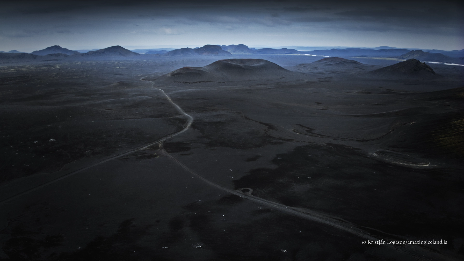
Despite its proximity to the road, Hnausapollur remains ecologically sparse. Vegetation is limited to mosses and hardy low plants on the crater rim and surrounding lava fields. This relative absence of greenery is not a deficiency but a defining feature: it keeps the geological structure visually exposed and reinforces the sense of a young, highland landscape still dominated by volcanic material rather than soil development.
Relationship to F208 and the Fjallabak landscape
Hnausapollur’s location beside F208 (Fjallabaksleið nyrðri) makes it one of the most accessible crater lakes in the Icelandic highlands. Unlike destinations that require long hikes or river crossings, this site can be observed almost immediately upon arrival, making it a frequent stopping point for travellers moving between the southern lowlands and Landmannalaugar.
However, accessibility should not be confused with triviality. Hnausapollur works as a visual anchor within the broader Fjallabak landscape. Its saturated colour contrasts strongly with the surrounding rhyolite mountains, dark lava flows, and pale sand plains. This contrast helps visitors read the geology of the area as a system rather than as isolated features.
The lake also functions as a transition point in the journey along F208. South of Hnausapollur, the terrain is more open and desert-like; northward, the landscape becomes increasingly complex, colourful, and geothermal as Landmannalaugar approaches. In this sense, Hnausapollur marks a perceptible shift—from raw volcanic emptiness to layered geological diversity.
Hnausapollur does not demand extended exploration to be effective. Its strength lies in immediacy and clarity: a crater, a lake, and a visible cause-and-effect relationship between eruption and present form. For visitors interested in understanding Icelandic volcanism at a glance, it is one of the most concise and legible sites in the highlands.
Interesting facts:
- Dual names: Hnausapollur refers to volcanic debris; Bláhylur refers to the lake’s blue colour.
- Eruption origin: The crater is associated with the 1477 Veiðivötn eruption, one of the largest historic eruptions in Iceland.
- Roadside crater: It lies directly beside F208, making it one of the most easily viewed crater lakes in the interior.
- Colour variability: The lake’s colour changes noticeably with light, wind, and sediment suspension.
Image Gallery


The Locomotive Elite
What do Donald Trump and Iceland’s Locomotive Elite have in common?
Far more than you think.
In The Locomotive Elite, you’ll uncover how a tiny clique in Iceland captured extensive control—of banks, courts, media, and even the central bank.
For decades they ruled, first democratically, then through corruption and in the end through crime, enriching themselves and their cronies while dismantling oversight.
The result?
One of the most spectacular financial collapses in modern history.
Photography tips:
- Use elevation: Photograph from slightly above the crater rim to emphasize the circular form and contained basin.
- Watch the wind: Calm conditions produce the strongest colour; wind introduces texture but reduces saturation.
- Avoid scale clutter: The crater reads best without people or vehicles in frame—let the geometry stand on its own.
- Midday works here: Unlike many Icelandic sites, Hnausapollur can photograph well even in higher sun due to colour contrast rather than shadow play.
- Resist overprocessing: Blues are easily pushed too far; aim to preserve natural tonal variation.
Good cameras for Iceland
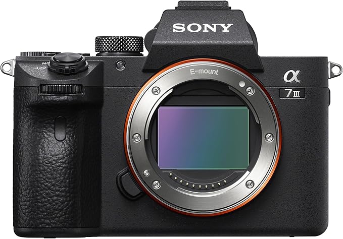
Sony A7R V
Sony A7s lll
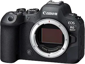
Canon R6
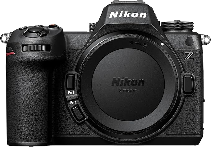
Nikon Z6 lll
Destinations nearby
Good to have in Iceland