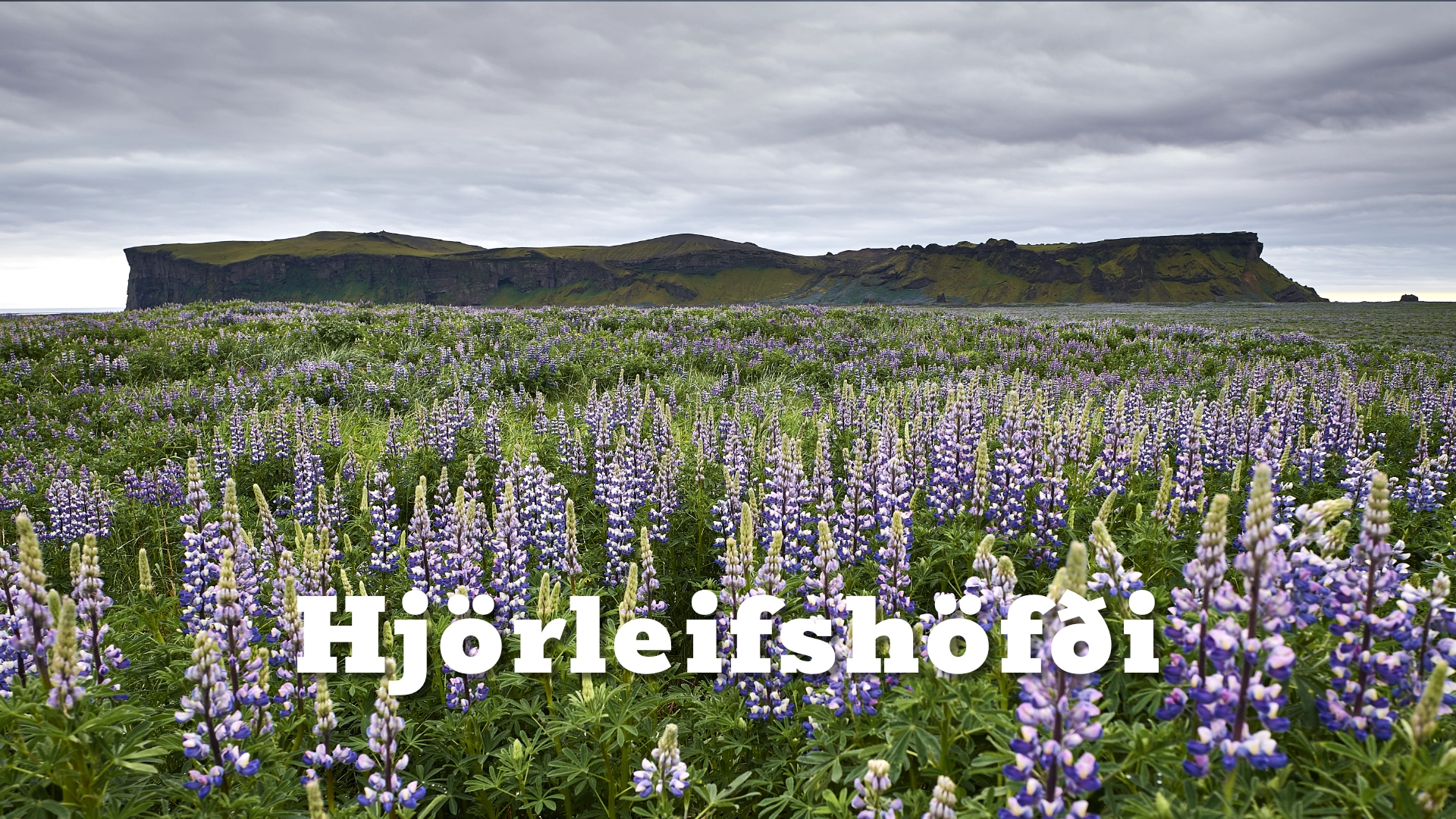
Hjörleifshöfði cape in south Iceland
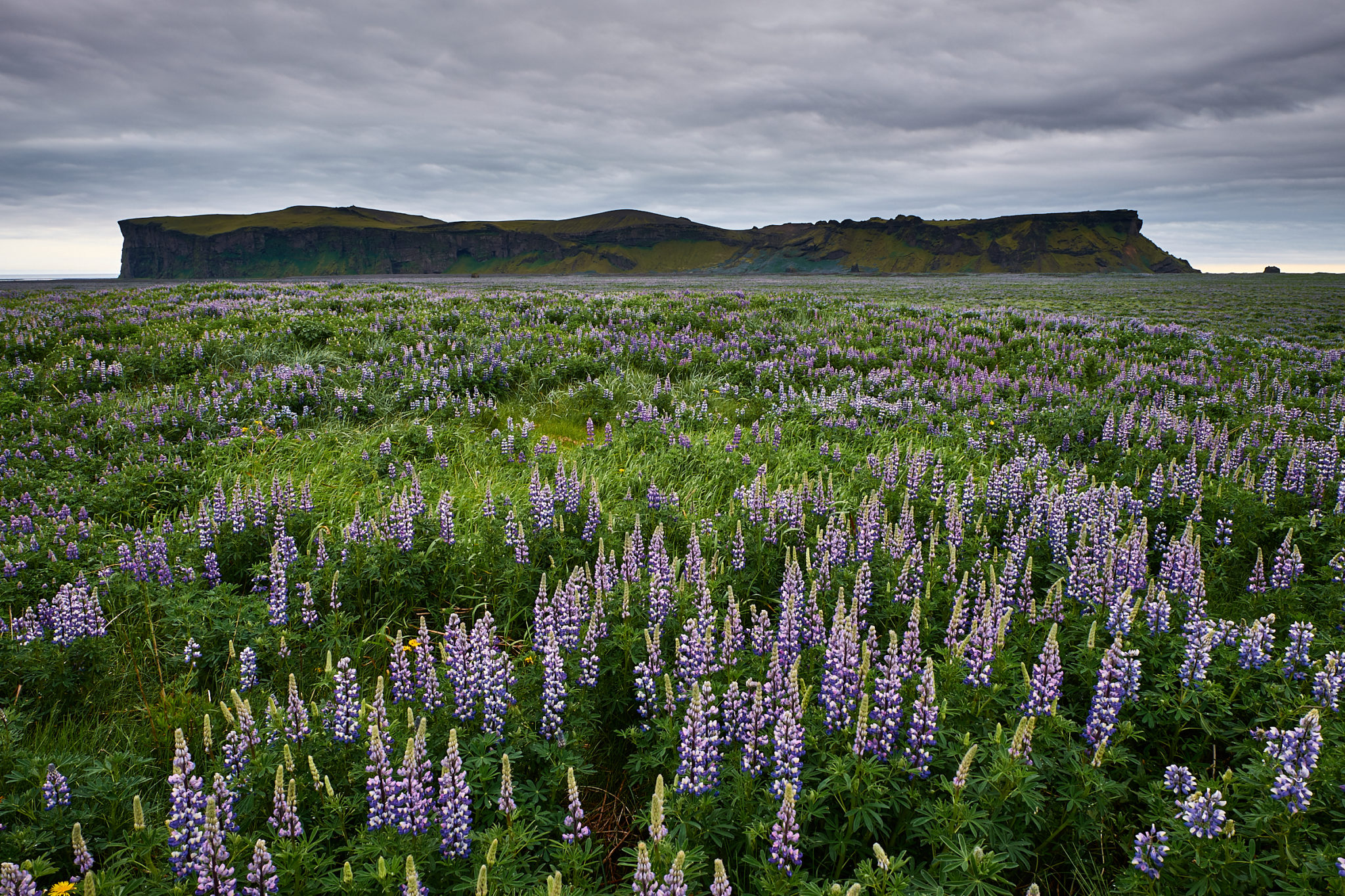
East of Vík, Hjörleifshöfði rises abruptly from the enormous flat expanse of Mýrdalssandur. From a distance it looks almost misplaced: a steep-sided green and brown mountain standing alone in a landscape of black sand, with the modern coastline several kilometres away.
That appearance tells much of its story. Hjörleifshöfði was formed during a volcanic eruption beneath a glacier in the last Ice Age. Later it stood beside the sea, with a fjord reaching inland towards it. Repeated floods from Katla gradually filled the surrounding lowlands with sediment and pushed the coastline farther south, leaving the former coastal headland isolated on the sand plain.
The mountain is also deeply connected with Iceland’s settlement story. According to Landnámabók, Hjörleifur Hróðmarsson, foster-brother of Ingólfur Arnarson, settled here before being killed by his own slaves. Tradition places his grave on the summit.
Few places on the South Coast bring geology, settlement history and the changing coastline together as clearly as Hjörleifshöfði.
The location of Hjörleifshöfði cape in south Iceland
Latitude
63.4203
Longitude
-18.7494
Hjörleifshöfði cape in south Iceland
An island left inland
Hjörleifshöfði reaches about 221 metres above the surrounding sands. The mountain is largely built of tuff formed during an eruption beneath a glacier. When magma erupts into or beneath thick ice, intense interaction between meltwater and magma fragments the volcanic material, which can later consolidate into tuff and related rocks.
When the glacier disappeared, Hjörleifshöfði remained as a steep volcanic mountain.
Its present position can be misleading. Today it stands several kilometres inland on Mýrdalssandur, but the coastline once reached much farther north. Hjörleifshöfði was effectively a coastal promontory, with the sea and a fjord extending close to the mountain.
That geography changed as Katla repeatedly sent enormous jökulhlaups across Mýrdalssandur. The floods carried volcanic sediment, sand and gravel from beneath Mýrdalsjökull and deposited it across the plain. Over centuries the land advanced southward and the old fjord disappeared beneath new sediment.
The great Katla flood of 1918 continued this process dramatically, pushing parts of the coastline outward once again.
What appears today to be an isolated mountain in the middle of a desert-like plain is therefore partly the result of repeated volcanic floods building new land around it.
Hjörleifur and the settlement story
Hjörleifshöfði is named for Hjörleifur Hróðmarsson, one of the earliest Norse settlers associated with Iceland.
According to Landnámabók, Hjörleifur travelled to Iceland with his foster-brother Ingólfur Arnarson. Each commanded his own ship, and the two became separated during the voyage. Hjörleifur eventually settled beneath the mountain that would later bear his name.
The story then becomes one of the darkest episodes in the early settlement narrative.
Landnámabók tells that Hjörleifur had taken Irish slaves during Viking raids. After arriving in Iceland, he forced them to work for him. They eventually killed Hjörleifur and the other free men at the settlement and escaped by ship, taking the women with them.
They fled to islands off the south coast. Ingólfur later discovered what had happened and pursued them to Vestmannaeyjar, where he killed those he believed responsible.
The Irish slaves were called Vestmenn — “Westmen” — a term used by the Norse for people from Ireland and the British Isles. According to the traditional account, this episode gave Vestmannaeyjar, the Westman Islands, their name.
The story is recorded tradition rather than an archaeological reconstruction of every event, but it gives Hjörleifshöfði an unusually strong place in the earliest written history of Iceland.
Tradition holds that Hjörleifur was buried on the summit. The mound known as Hjörleifshaugur is still identified there.

A place where people continued to live
The history of Hjörleifshöfði did not end with the settlement period. People lived and farmed here for centuries.
The earliest farm associated with later habitation stood lower down at a place known as Bæjarstaður. The low ground offered fields and meadows, but it also left the farm exposed to the destructive forces of Katla.
In 1721, a major Katla eruption produced a jökulhlaup that devastated the area and destroyed the farm site. Settlement was subsequently moved higher onto Hjörleifshöfði.
The higher location offered greater protection from flooding, although the land was less suitable for haymaking. Grazing remained important, and people continued living here into the 20th century.
Traces of this later occupation remain part of the mountain. The summit area carries not only the traditional burial mound of Hjörleifur but also remains connected with later generations who lived at Hjörleifshöfði.
This continuity makes the summit more than simply a viewpoint. The mountain carries more than a thousand years of human history, from one of the earliest settlement traditions through generations of farming beneath Katla.
Gígjagjá — the cave in the mountain
On the northern side of Hjörleifshöfði is a large cave known as Gígjagjá. Its broad entrance has become one of the most photographed features of the mountain.
In recent years it has also acquired the nickname “Yoda Cave” because the outline of the entrance, when viewed from inside, can resemble the head and ears of the Star Wars character Yoda.
The nickname has become widely used, but the cave is much more interesting as part of Hjörleifshöfði itself. It exposes the internal volcanic structure of the mountain and gives a very different impression from the open sand plain outside.
The cave can be included in a visit to the lower part of Hjörleifshöfði, but conditions on the sands and the access track should always be considered before driving towards it.
Walking to the summit
Hjörleifshöfði is not simply a roadside viewpoint. Walking to the top changes the way the surrounding landscape is understood.
From below, the sand plain dominates. From the summit, its scale becomes far clearer. Mýrdalssandur stretches across the foreground, Mýrdalsjökull and Katla rise inland, and the coast appears far to the south.
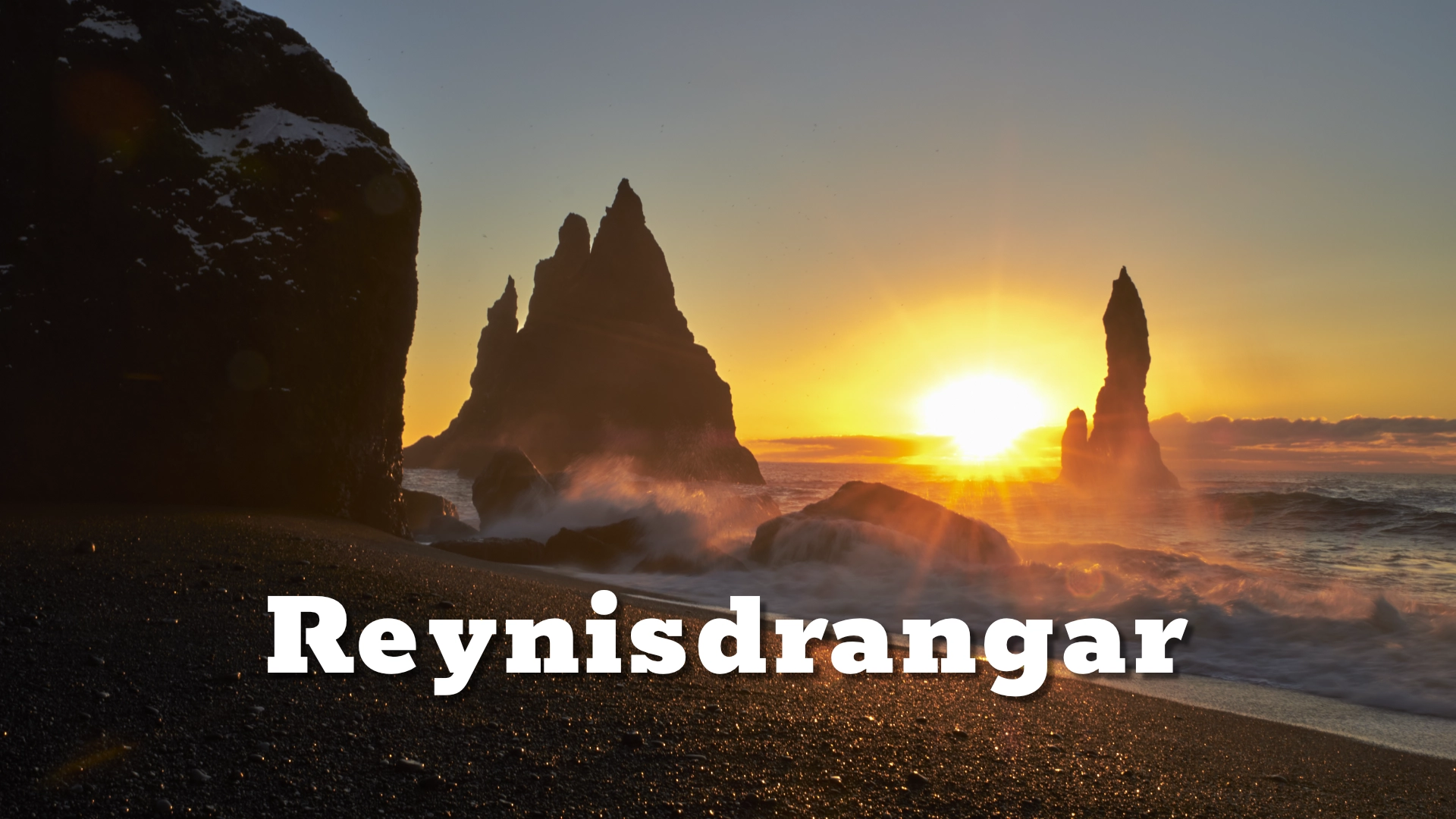
Looking west, the landscape leads back towards Vík, Reynisfjall and Reynisdrangar.
The ascent is a genuine hill walk rather than a short path from a parking area. Routes climb the slopes of Hjörleifshöfði and involve uneven ground and sustained ascent to the 221-metre summit.
Anyone going to the top should allow enough time for the walk rather than treating it as a quick roadside stop. Hjörleifshaugur, the traditional burial mound of Hjörleifur, lies on the summit and gives the walk a historical destination as well as a view.
Visiting Hjörleifshöfði
Hjörleifshöfði is privately owned, and access arrangements can change. The track leading from the main road out across the sands requires a 4×4 in practice. Conditions on Mýrdalssandur can vary considerably with weather, sand movement and recent maintenance.
The landscape is extremely exposed. Strong wind can make both driving and walking unpleasant, and blowing sand can reduce visibility quickly.
Visitors should stay on established tracks, respect private land and follow any signs or access restrictions in place.
For those who only want to experience Hjörleifshöfði without climbing it, the lower landscape and Gígjagjá already give a strong sense of the mountain.
For those who walk to the summit, the reward is not simply the view. From above, the strange geography of Hjörleifshöfði becomes understandable: a former coastal mountain now surrounded by land created and repeatedly reshaped by volcanic floods.
Interesting facts:
- Hjörleifshöfði rises about 221 metres above Mýrdalssandur.
- It formed during a volcanic eruption beneath a glacier in the last Ice Age.
- The mountain once stood close to the coast before sediment from repeated Katla floods pushed the shoreline farther south.
- According to Landnámabók, Hjörleifur Hróðmarsson was killed here by his slaves during the earliest period of Icelandic settlement.
- Tradition places Hjörleifur’s grave in Hjörleifshaugur on the summit.
- A farm at Bæjarstaður beneath the mountain was destroyed by a Katla jökulhlaup in 1721.
- People continued living at Hjörleifshöfði into the 20th century.
- Gígjagjá on the north side is now widely nicknamed “Yoda Cave” because of the shape of its entrance.
- The track onto the sands requires a 4×4 in practice.
Image Gallery
Photography tips:
Destinations nearby