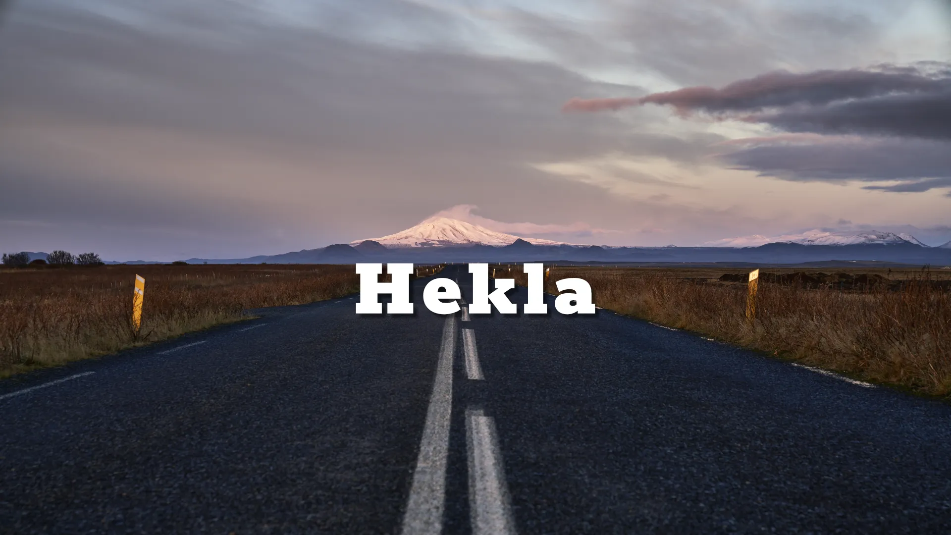
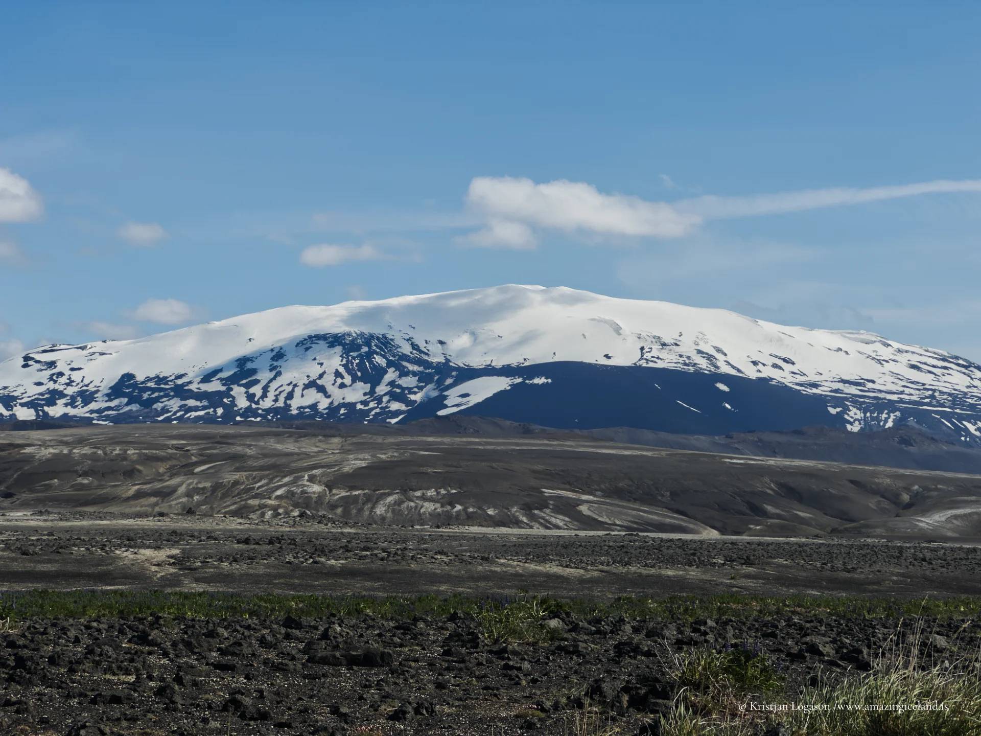
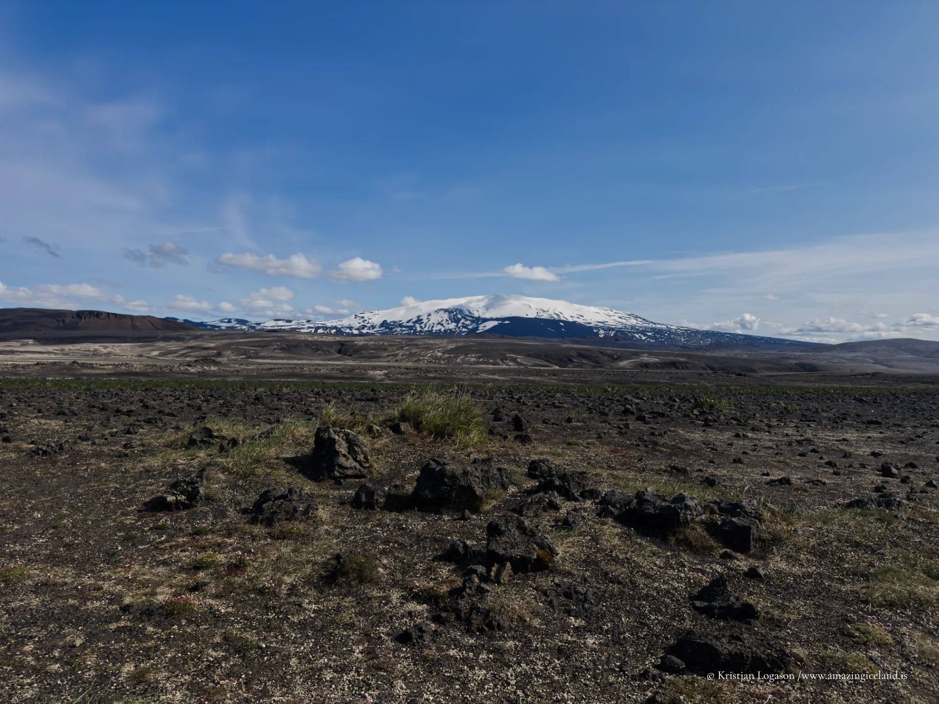
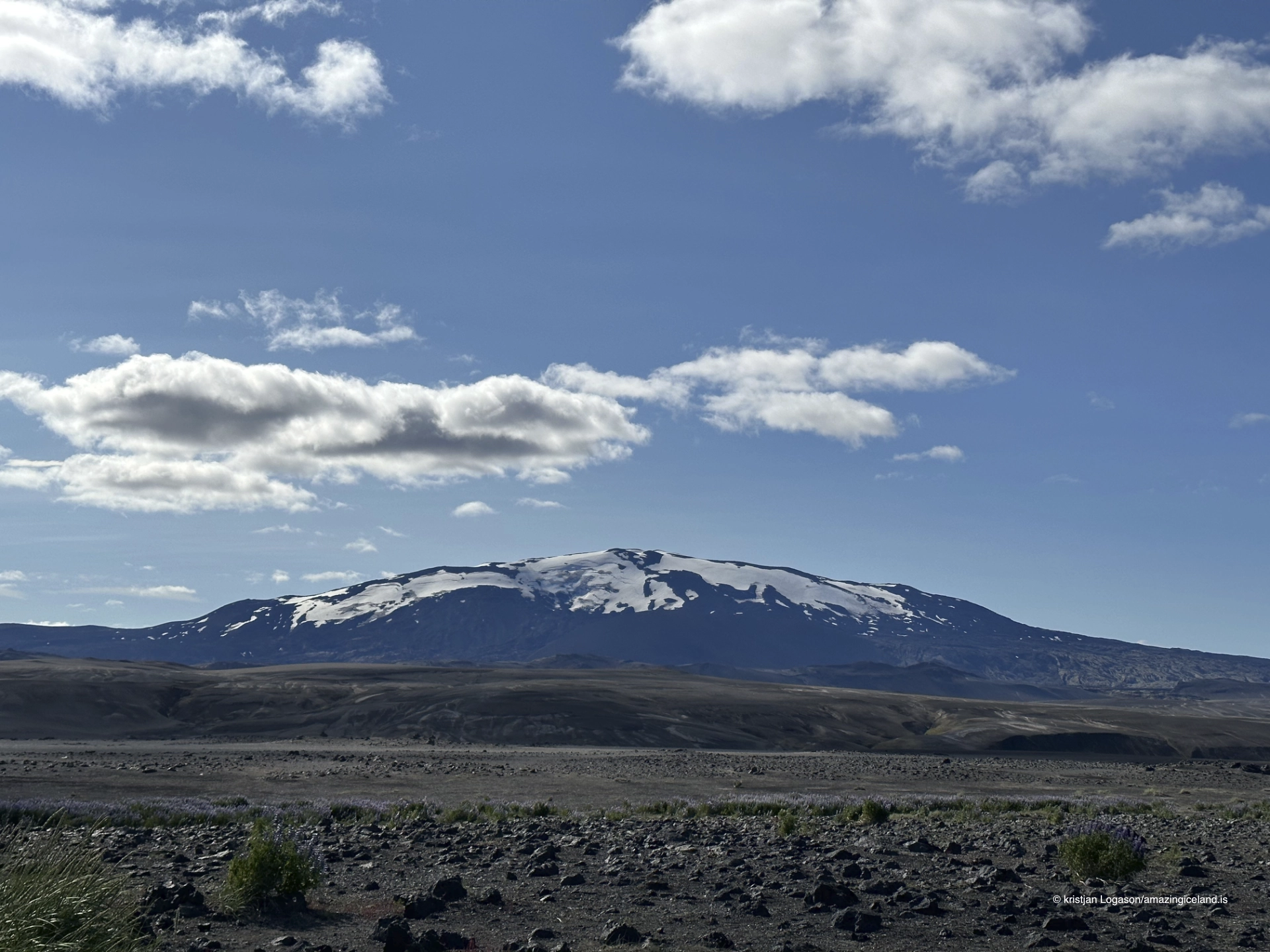
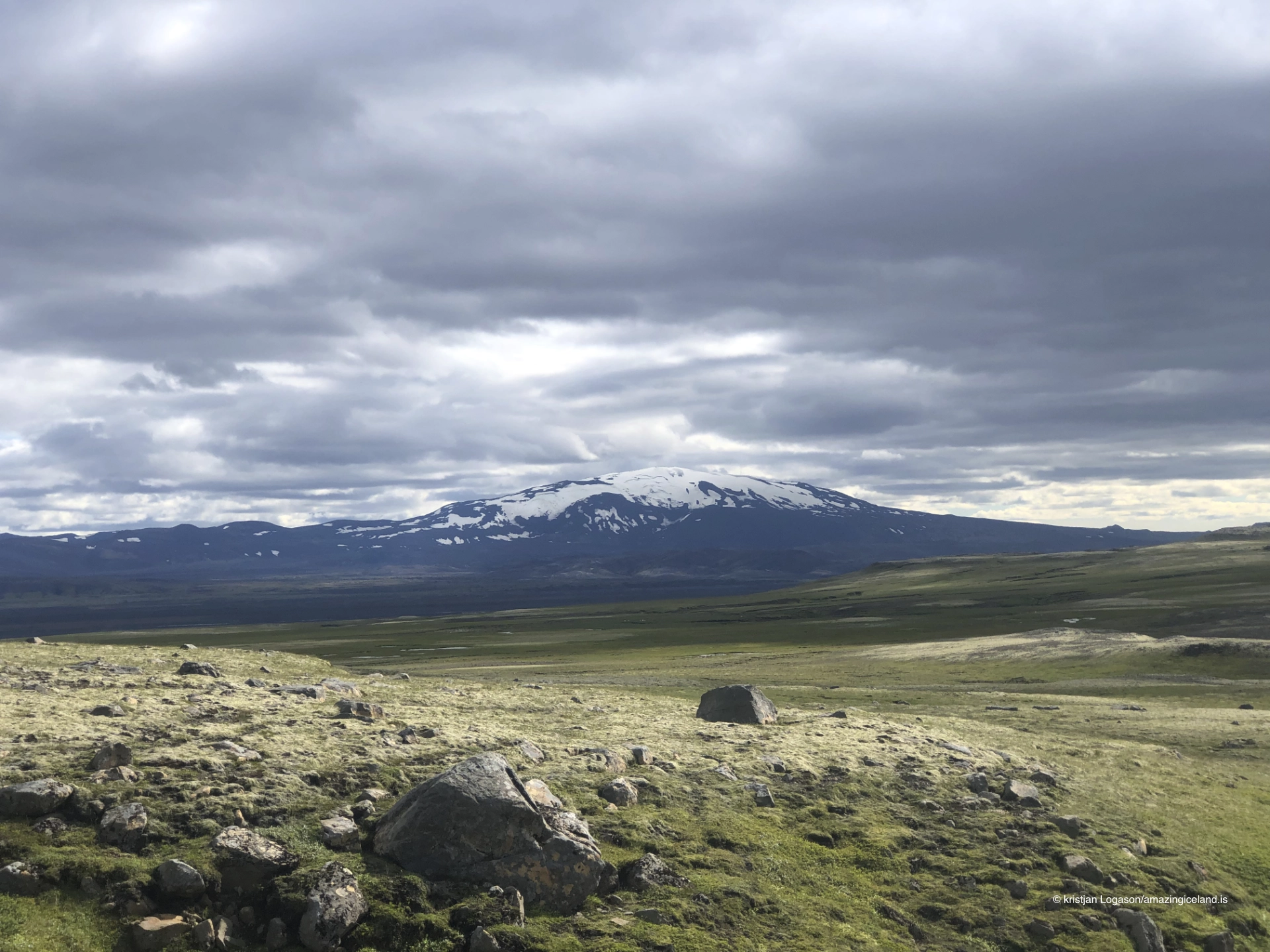
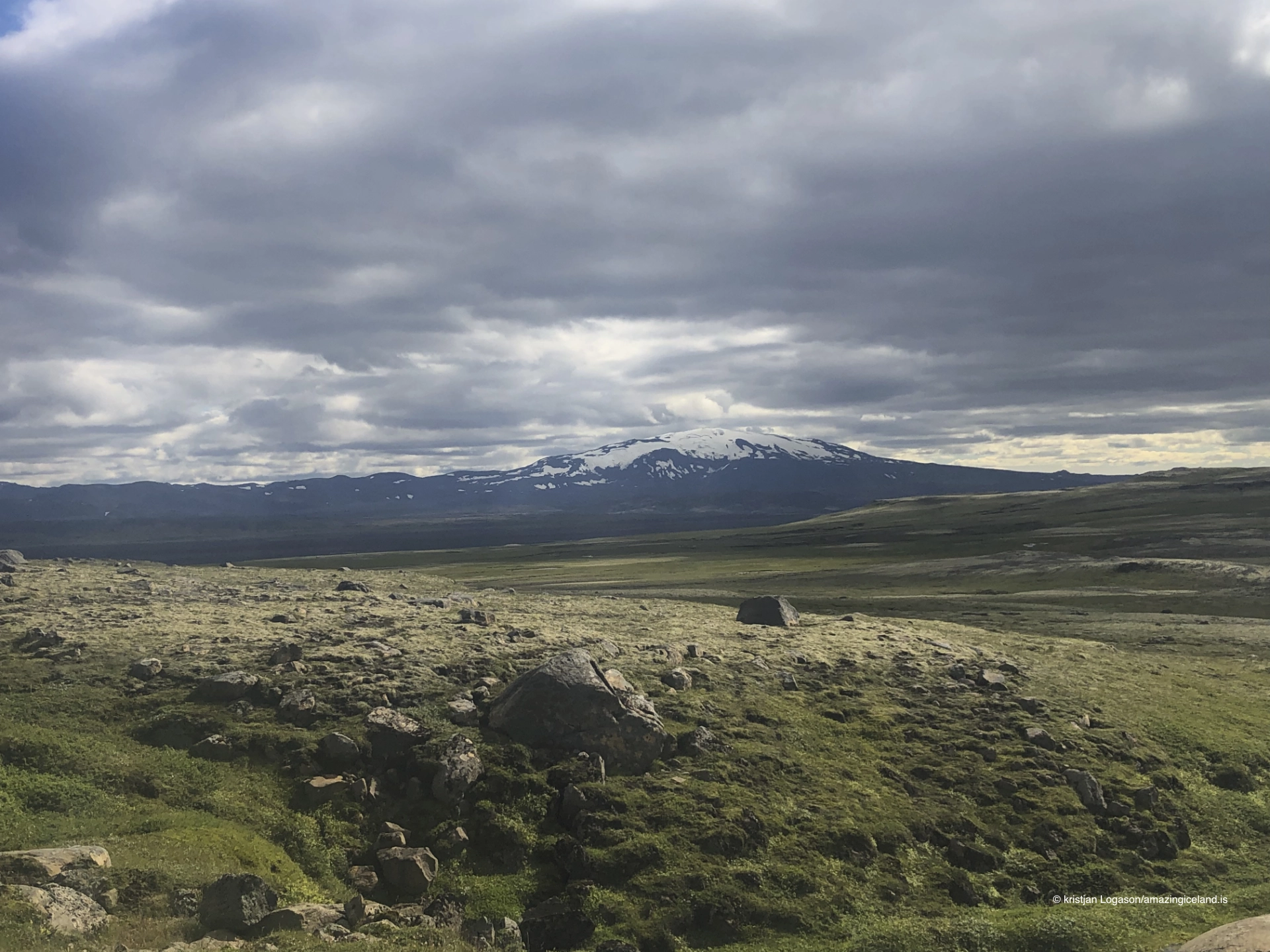
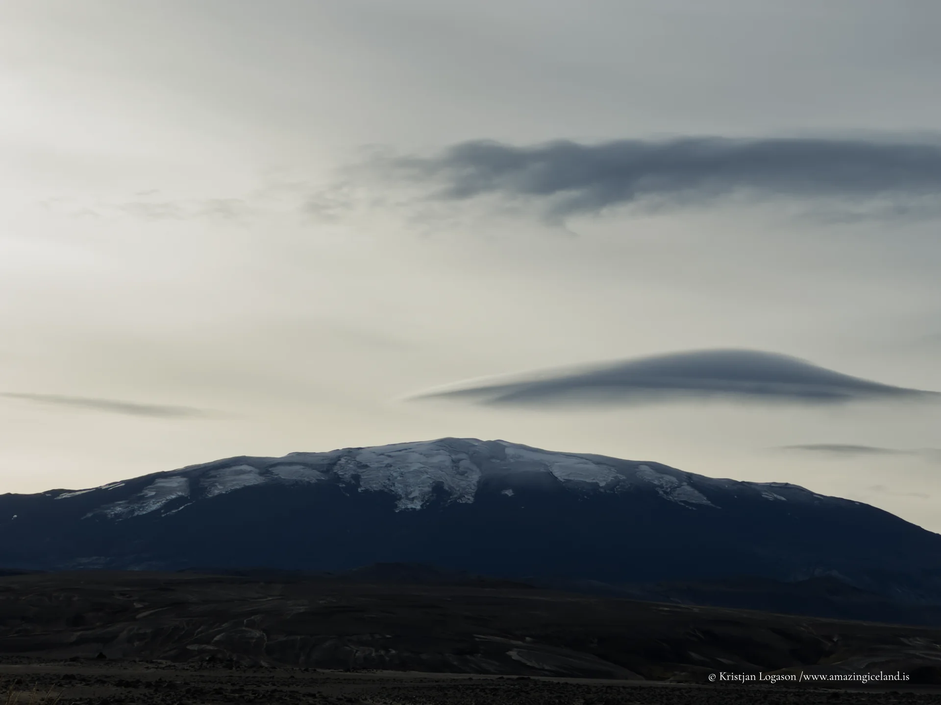
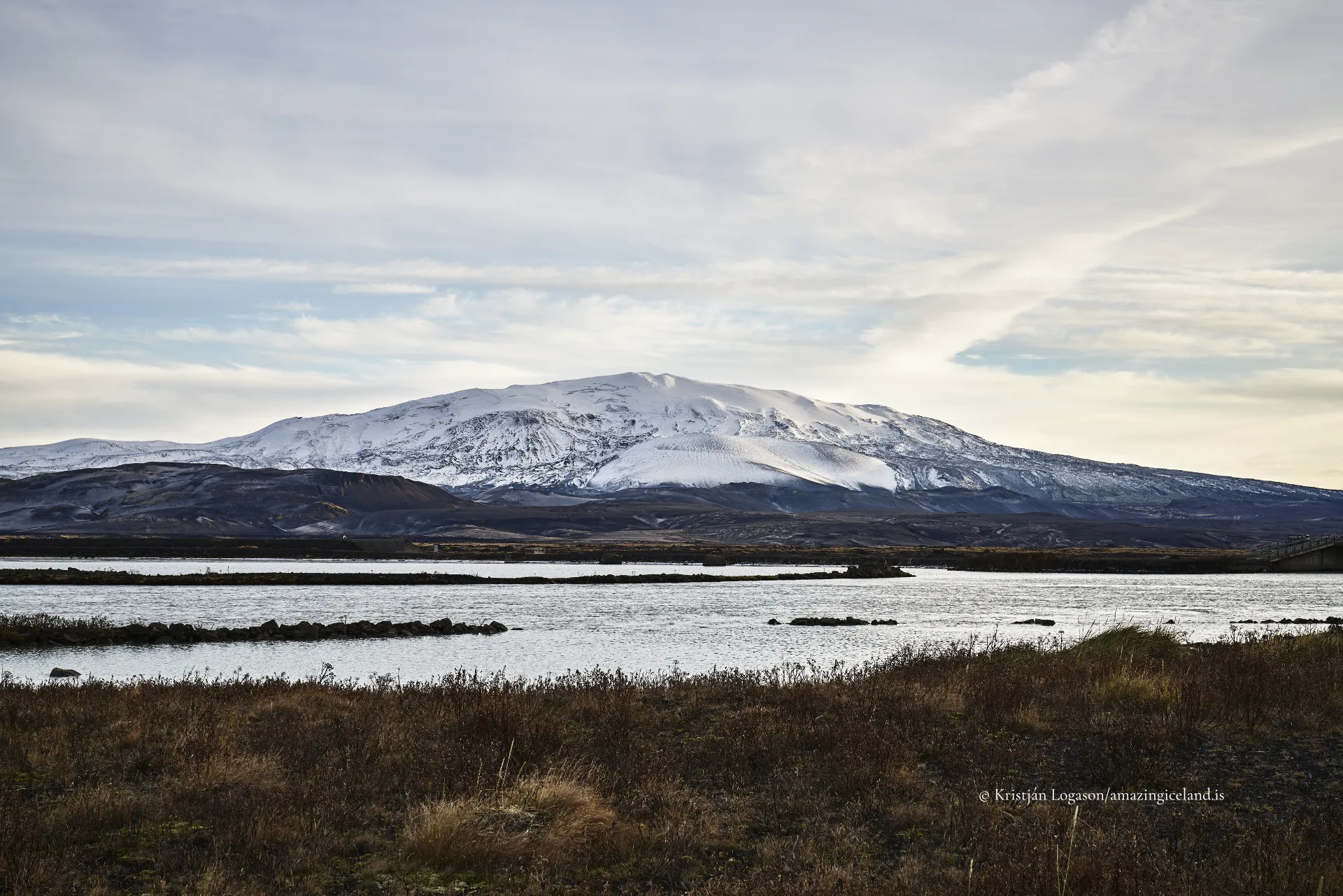
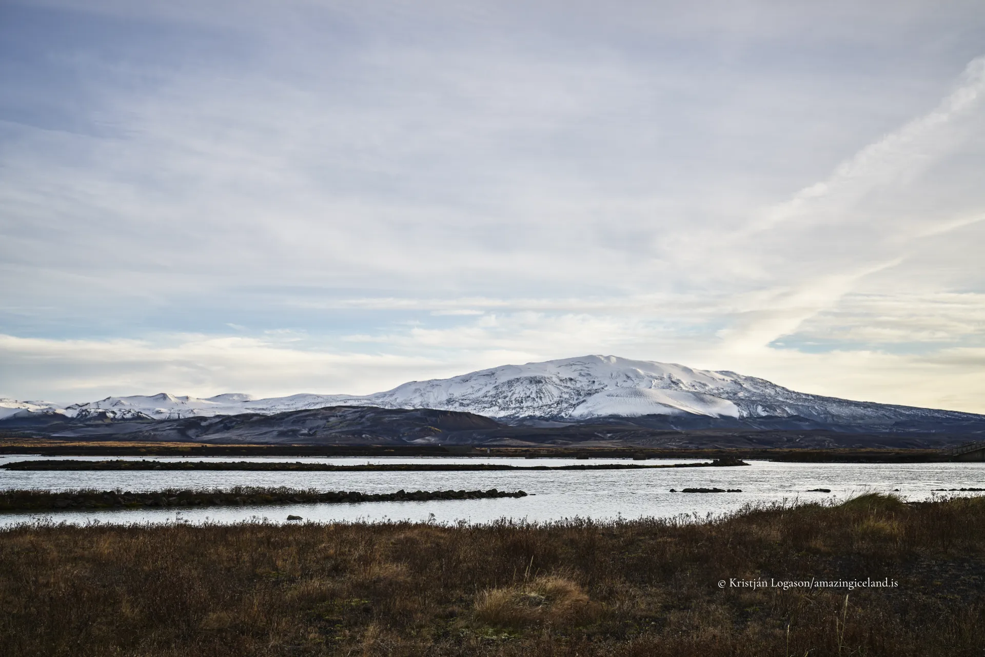
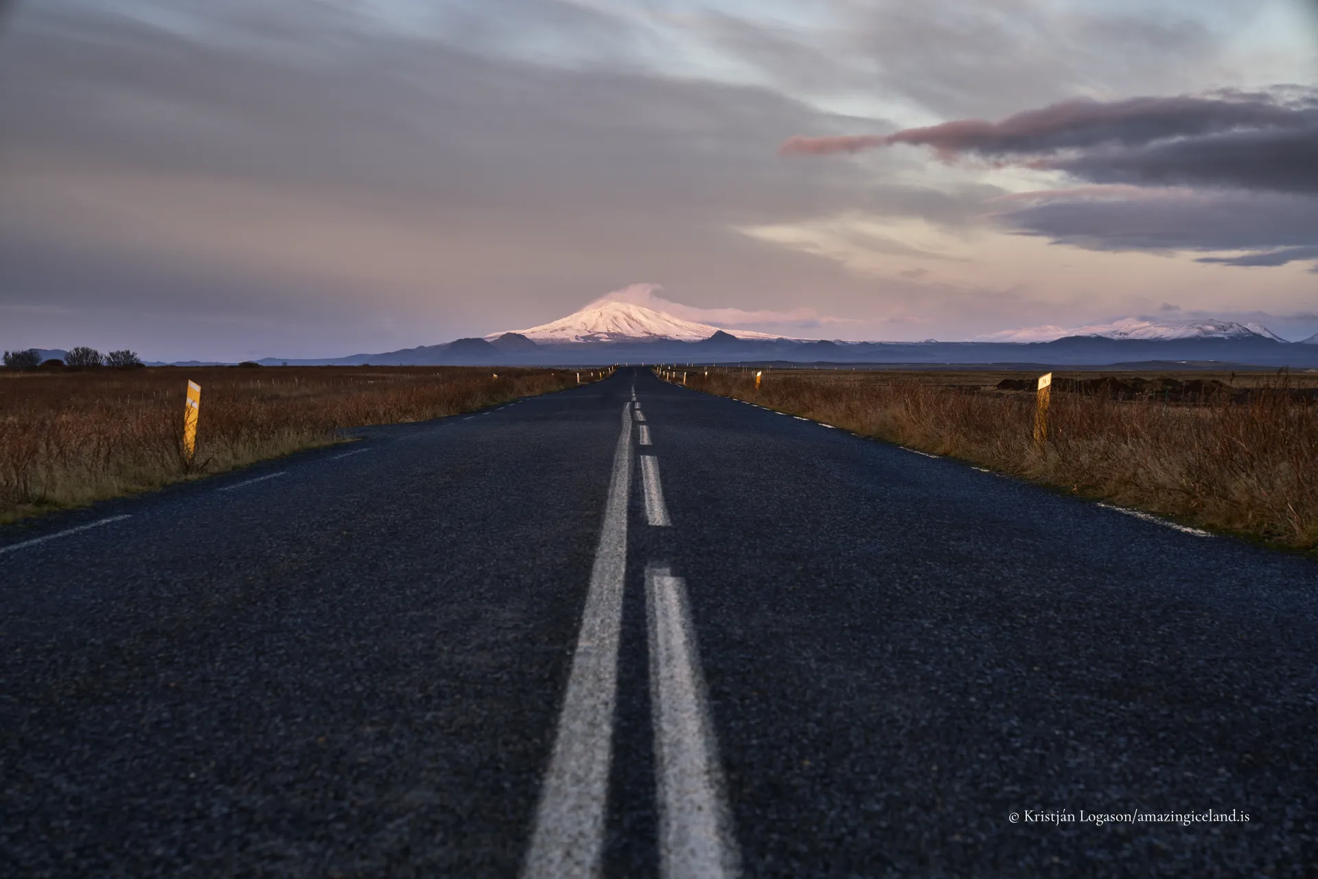
In South Iceland, northeast of Þjórsárdalur, the stratovolcano Hekla dominates the skyline. Reaching approximately 1,491 meters above sea level, Hekla has erupted more than 20 times since Iceland’s settlement, making it one of the country’s most closely monitored volcanic systems.
The location of Hekla volcano
Latitude
63.9820
Longitude
-19.7000
Hekla volcano
Hekla lies within Iceland’s Eastern Volcanic Zone, positioned along a fissure system approximately 40 kilometers long. Unlike classical cone-shaped stratovolcanoes, Hekla is a ridge-like volcano with multiple eruptive vents aligned along this fissure.
Its composition is primarily basaltic to andesitic, though early explosive phases of eruptions often produce silicic tephra. This compositional variability contributes to Hekla’s complex eruption style, which frequently begins with explosive ash production followed by effusive lava flows.
From a volcanological perspective, Hekla represents a hybrid system, combining fissure eruptions with centralized explosive phases.
Hekla’s eruption history is well documented. The 1104 eruption was particularly significant, depositing thick ash layers across large portions of southern Iceland and severely affecting farms in Þjórsárdalur. This event serves as a key chronological marker in Icelandic tephrochronology.
Subsequent eruptions occurred in 1300, 1341, 1389, 1510, 1597, 1636, 1693, 1766, 1845–1846, 1947–1948, 1970, 1980–1981, 1991, and 2000. The 1947–1948 eruption was among the most powerful in the 20th century, producing a plume reaching over 30 kilometers into the atmosphere and extensive lava flows.
Hekla is known for short warning times prior to eruption. Seismic precursors are often minimal, making real-time monitoring critical.
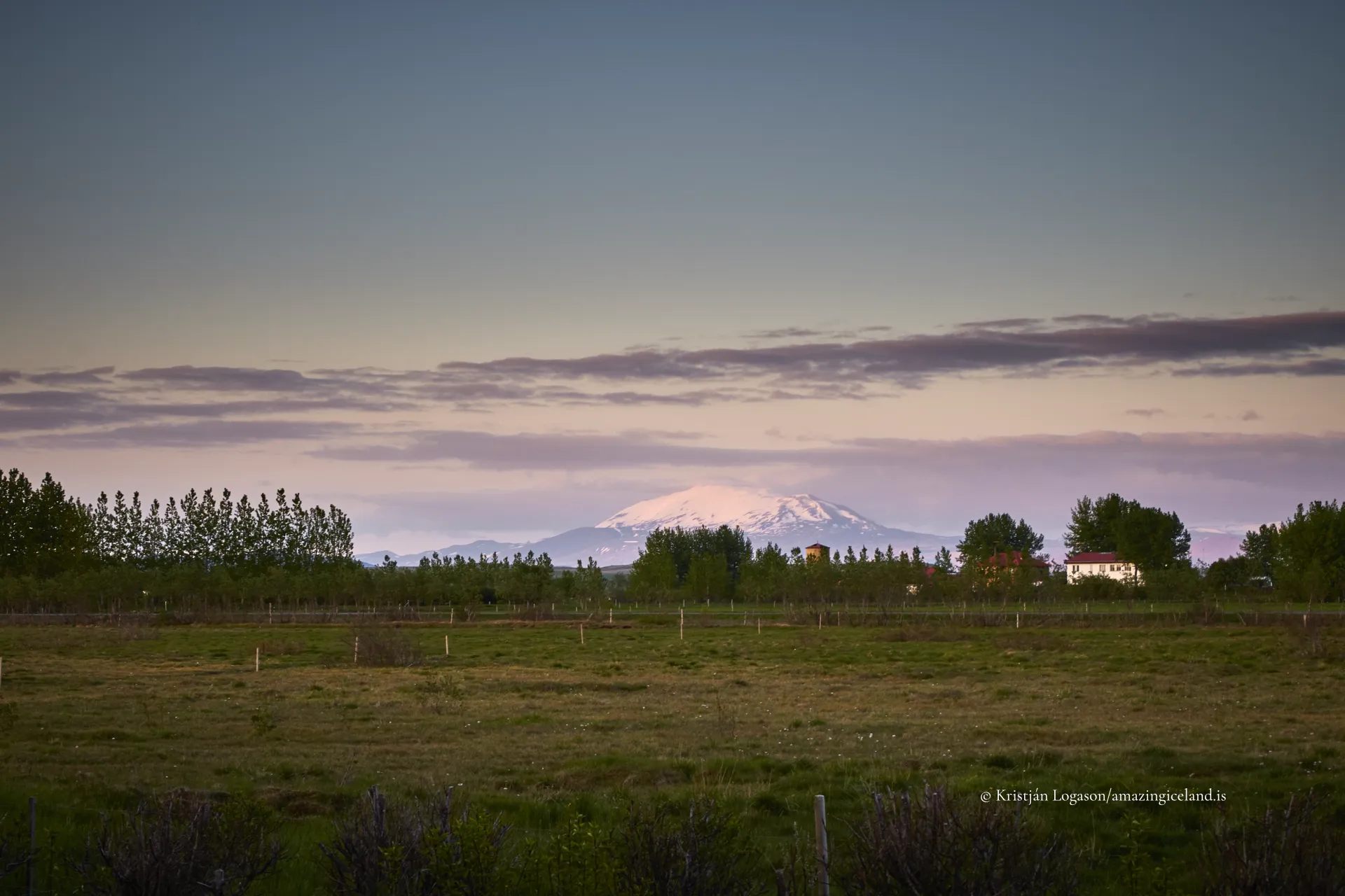
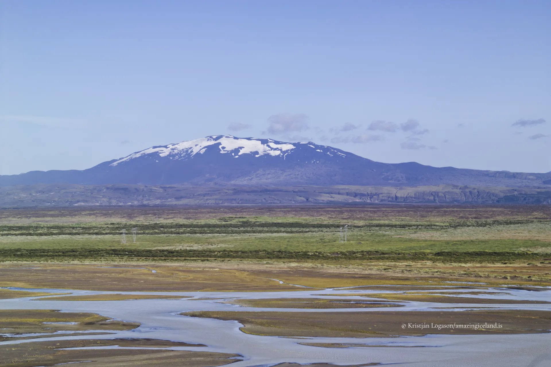
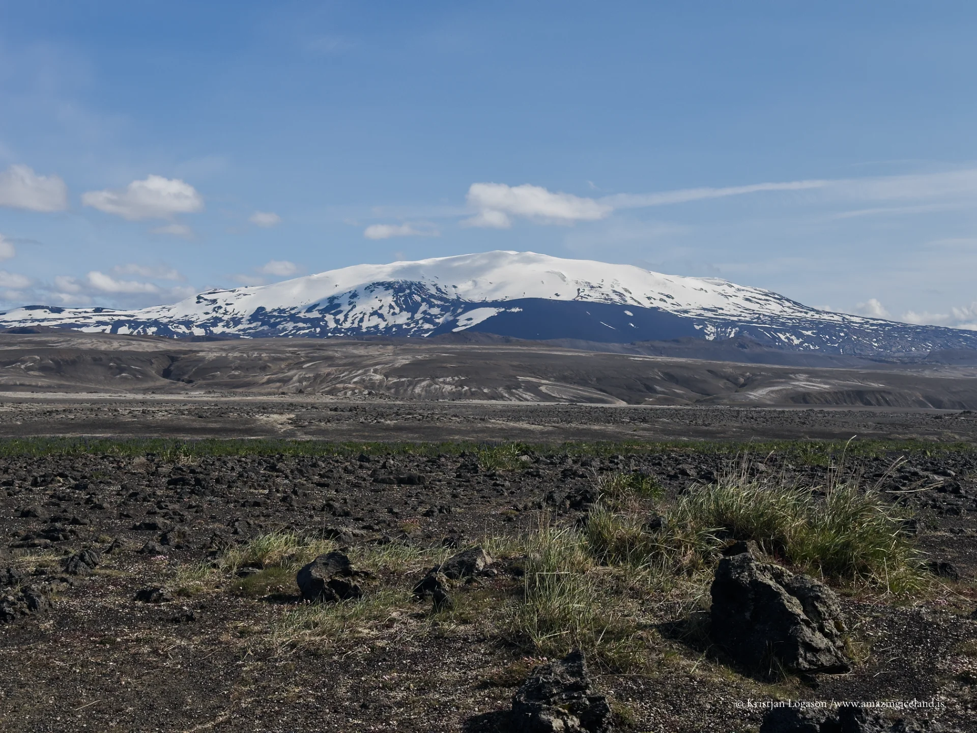
Lava fields surrounding Hekla cover large areas of South Iceland. These flows vary in age and composition, creating a patchwork of rugged terrain interspersed with vegetated sections on older deposits.
Ash from Hekla has played a dual role. While destructive in the short term, tephra layers contribute to soil development over time. Many agricultural regions in southern Iceland owe part of their fertility to weathered volcanic deposits.
The volcano’s repeated activity has therefore shaped not only geology but long-term land use patterns.
Historically, Hekla held a powerful place in European imagination. During the Middle Ages, it was sometimes referred to as a “gateway to hell,” reflecting its frequent eruptions and visible ash plumes. This reputation illustrates how volcanic activity influenced both local survival strategies and external myth-making.
Despite its dramatic history, Hekla is not constantly active. Long repose periods separate eruptions, though the volcano remains classified as active. Continuous monitoring by the Icelandic Meteorological Office tracks seismic activity and ground deformation.
Access to Hekla’s slopes is possible in stable conditions, but the summit area is barren, exposed, and subject to sudden weather change.
Hekla ultimately represents Iceland’s volcanic baseline: frequent enough to shape history, powerful enough to alter settlement, yet integrated into long-term landscape development.
Its eruptions provide key chronological markers for archaeologists and geologists, while its lava fields define much of South Iceland’s terrain. Hekla is neither Iceland’s largest nor most explosive volcano, but it is among the most consequential.
Interesting facts:
- Hekla rises to approximately 1,491 meters.
- It has erupted more than 20 times since 874 CE.
- The 1104 eruption is a major tephrochronological reference layer.
- The 1947–1948 eruption was one of the largest in the 20th century in Iceland.
- Hekla is known for short eruption warning times.
Image Gallery

The Locomotive Elite
What do Donald Trump and Iceland’s Locomotive Elite have in common?
Far more than you think.
In The Locomotive Elite, you’ll uncover how a tiny clique in Iceland captured extensive control—of banks, courts, media, and even the central bank.
For decades they ruled, first democratically, then through corruption and in the end through crime, enriching themselves and their cronies while dismantling oversight.
The result?
One of the most spectacular financial collapses in modern history.
Photography tips:
- Distance framing works best: Lava fields and ridgeline convey scale.
- Avoid summit distortion: Moderate focal lengths preserve form.
- Cloud interaction adds context: Ash history makes atmosphere relevant.
- Neutral grading: Basalt and ash respond poorly to oversaturation.
- Include foreground lava: It anchors geological continuity.
Good cameras for Iceland
Sony A7R V

Sony A7s lll

Canon R6

Nikon Z6 lll

Destinations nearby


Good to have in Iceland


